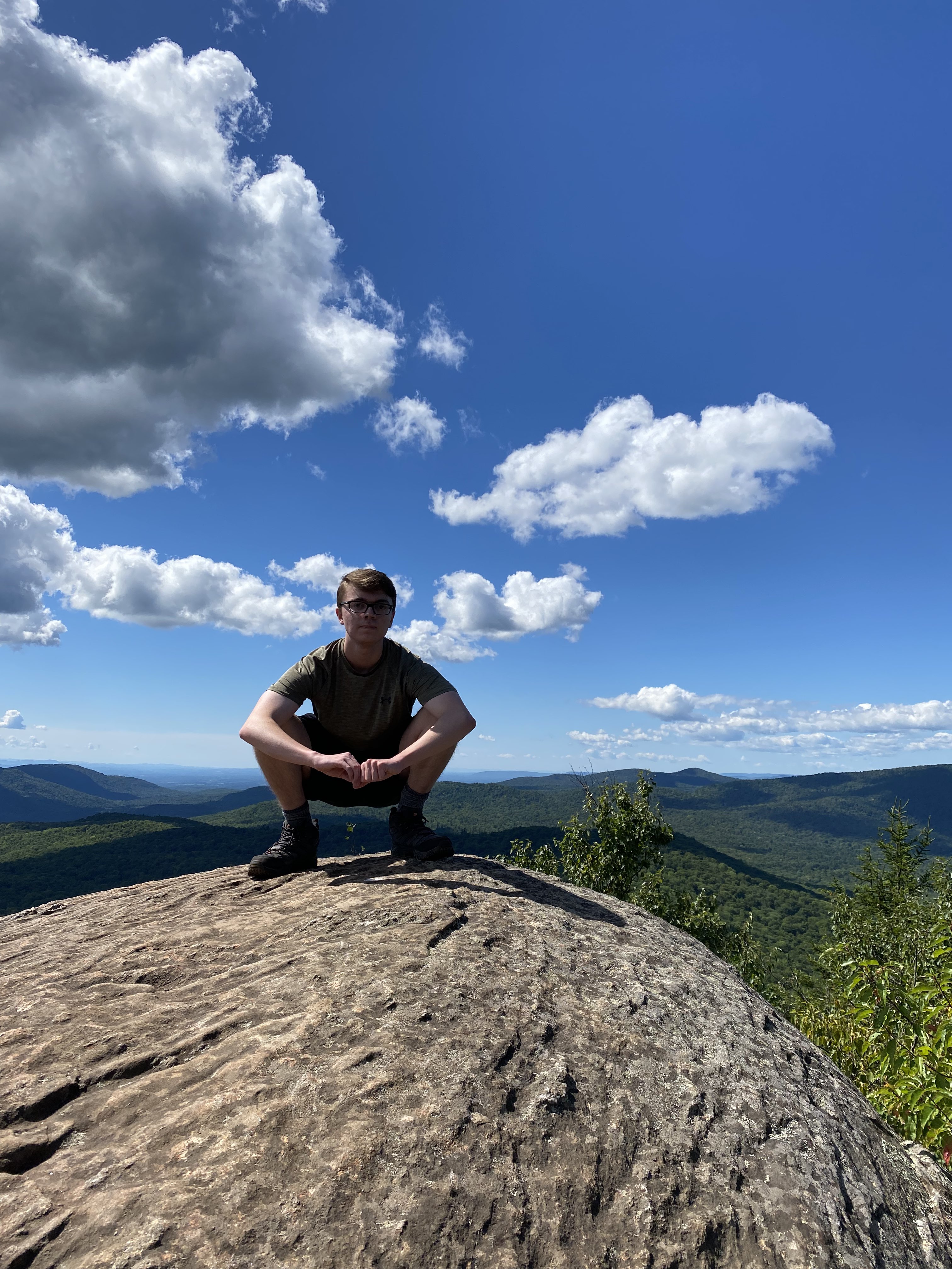
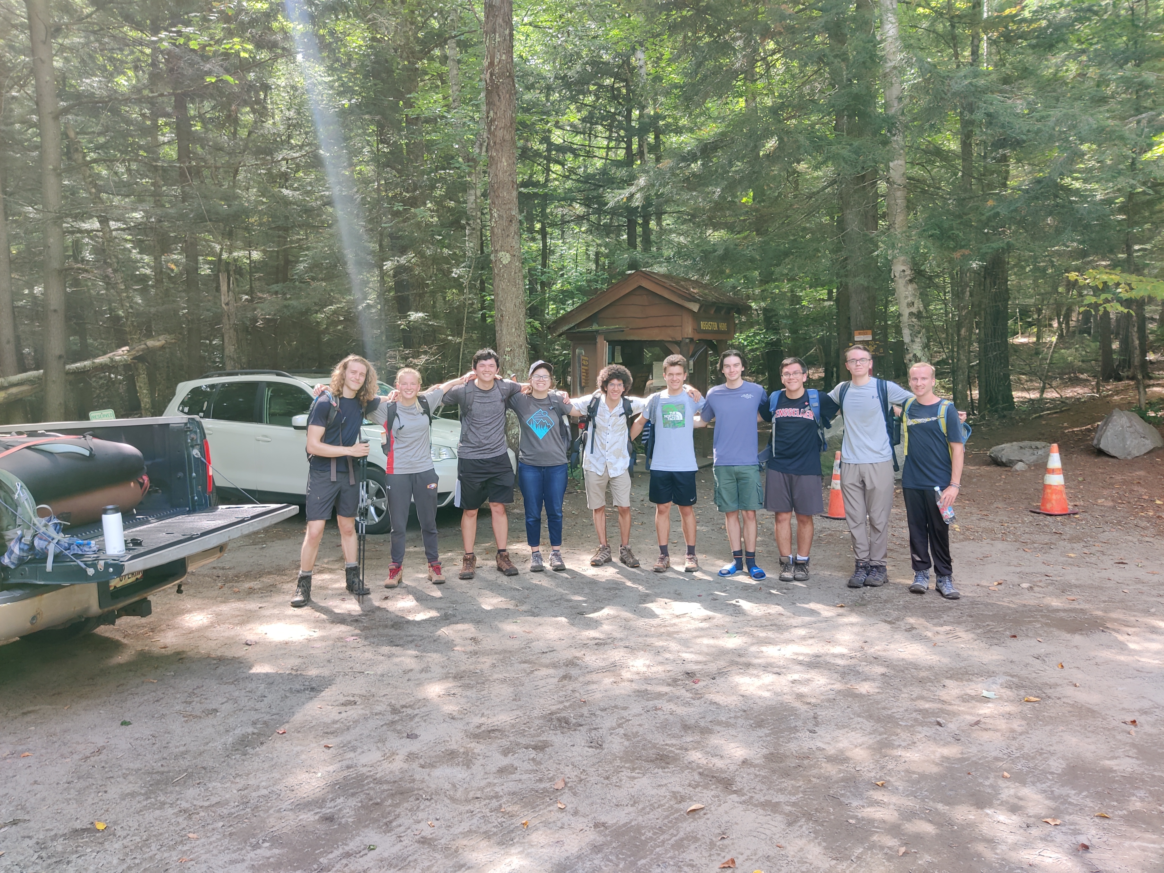
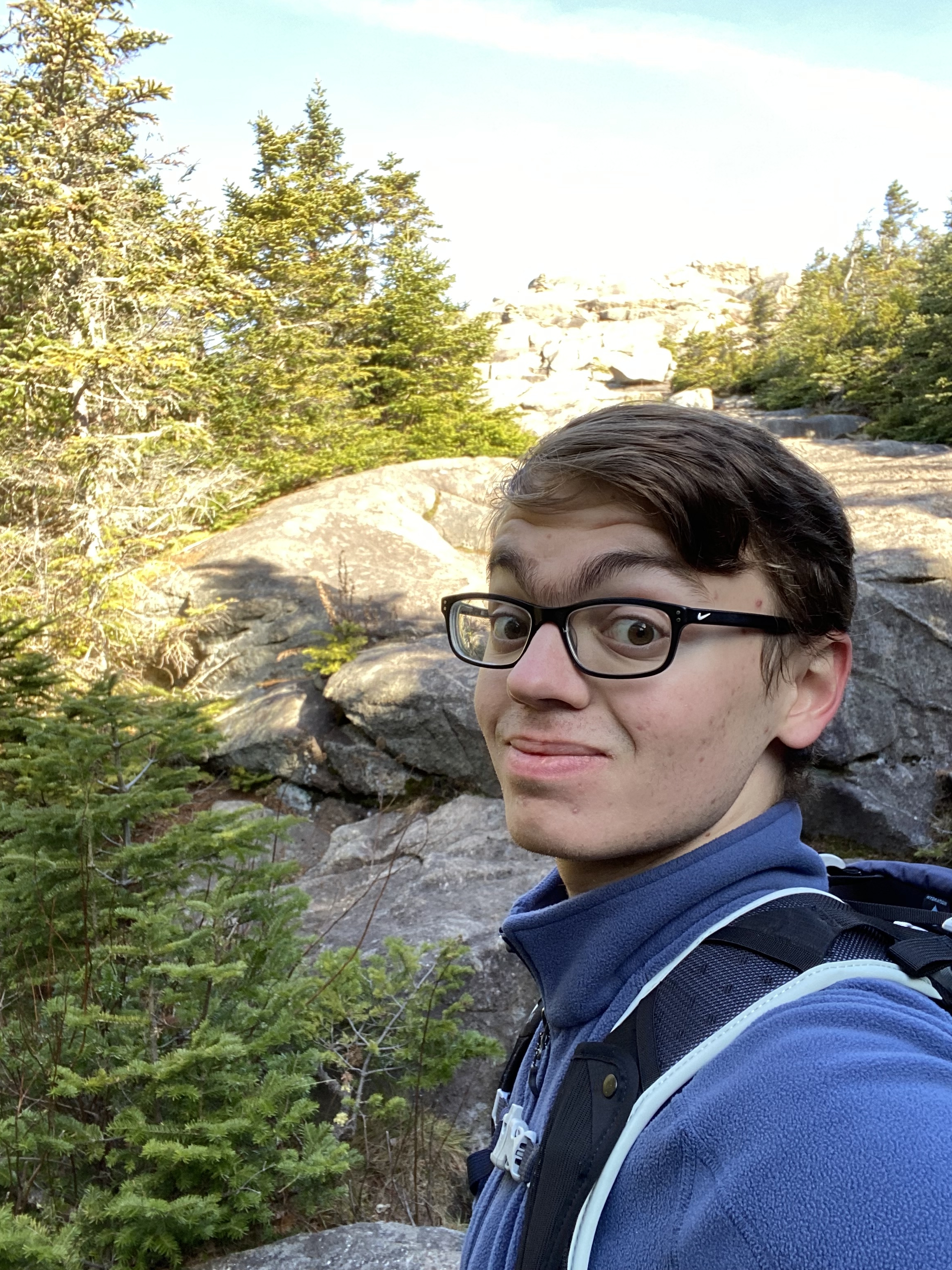
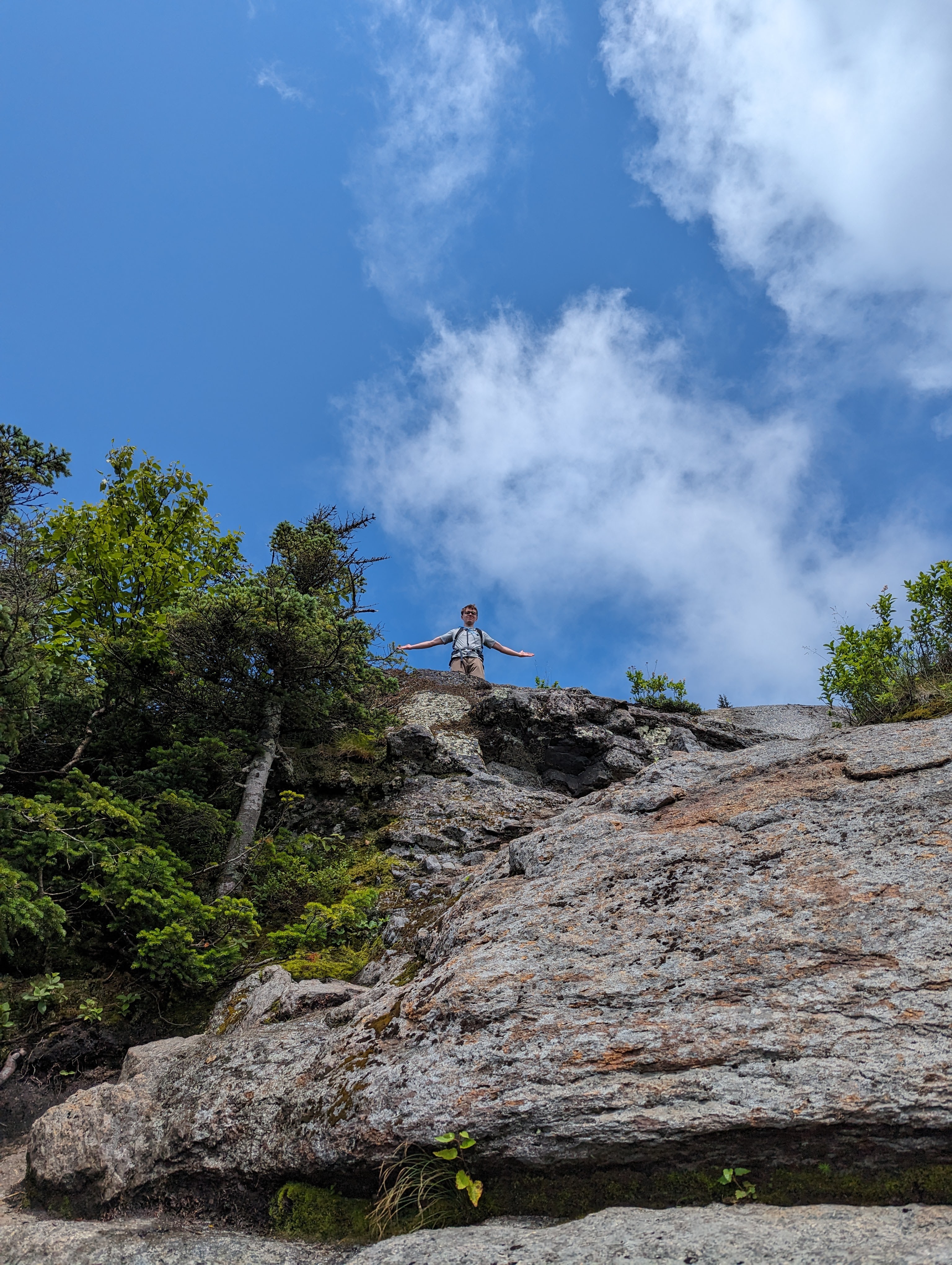
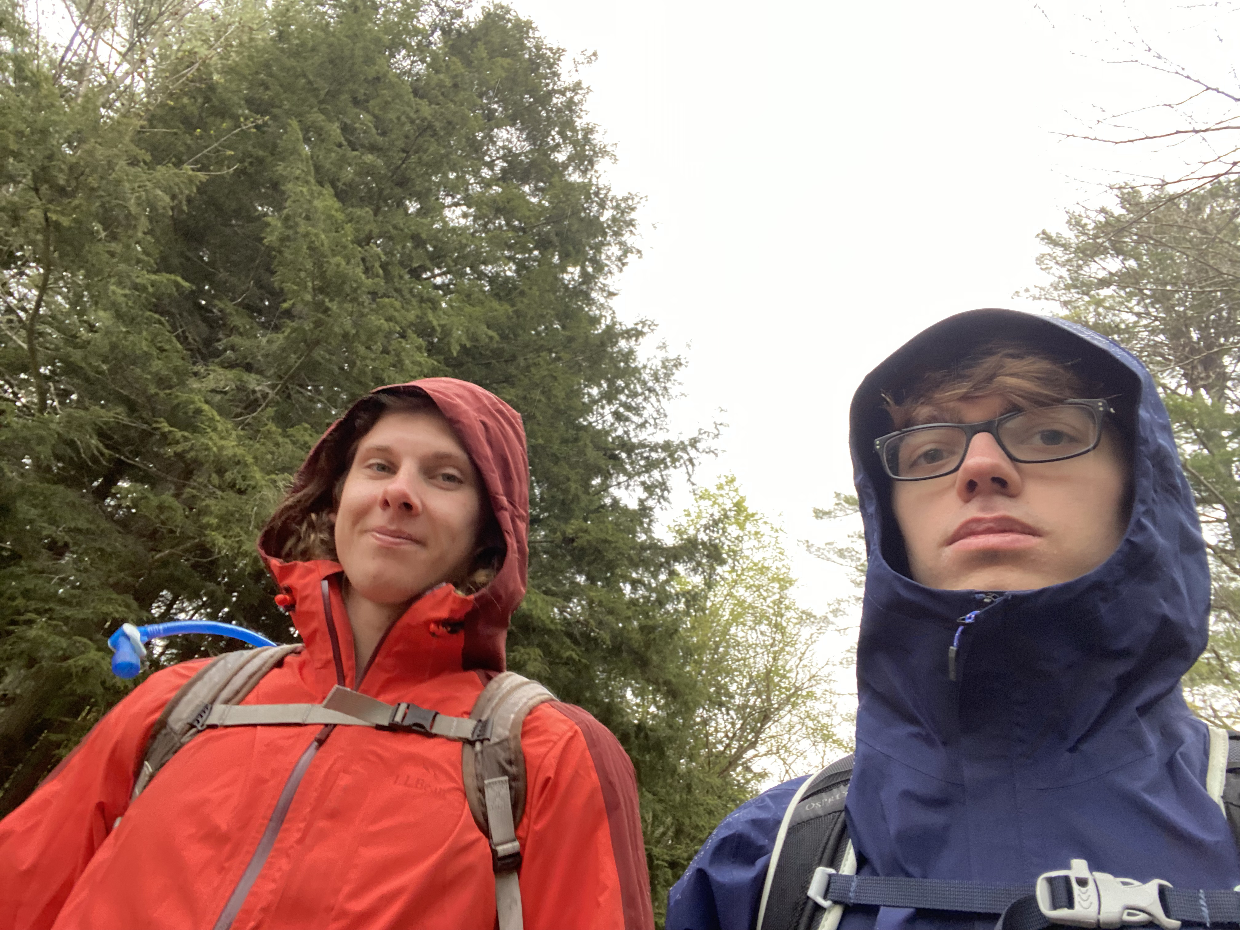
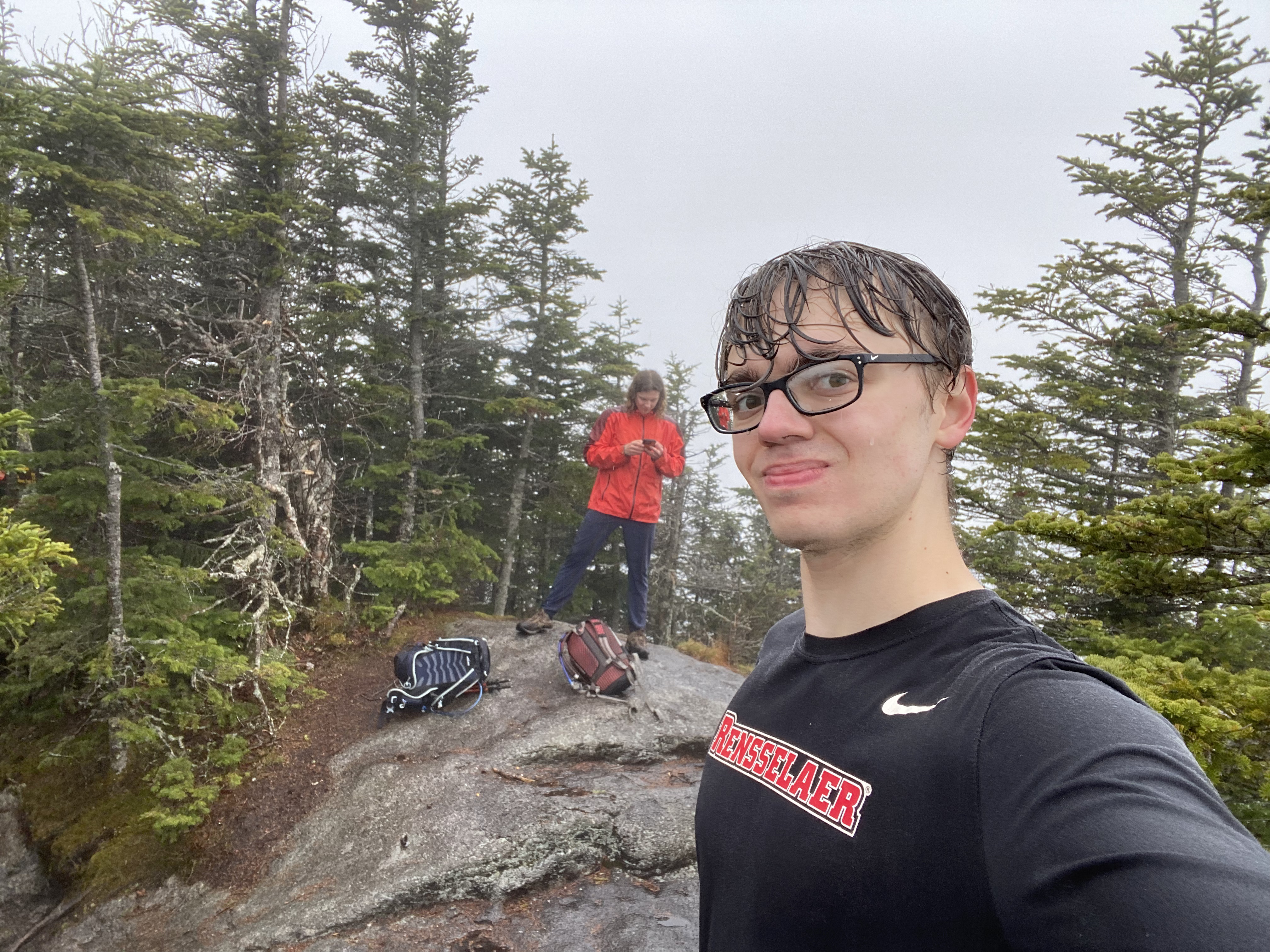
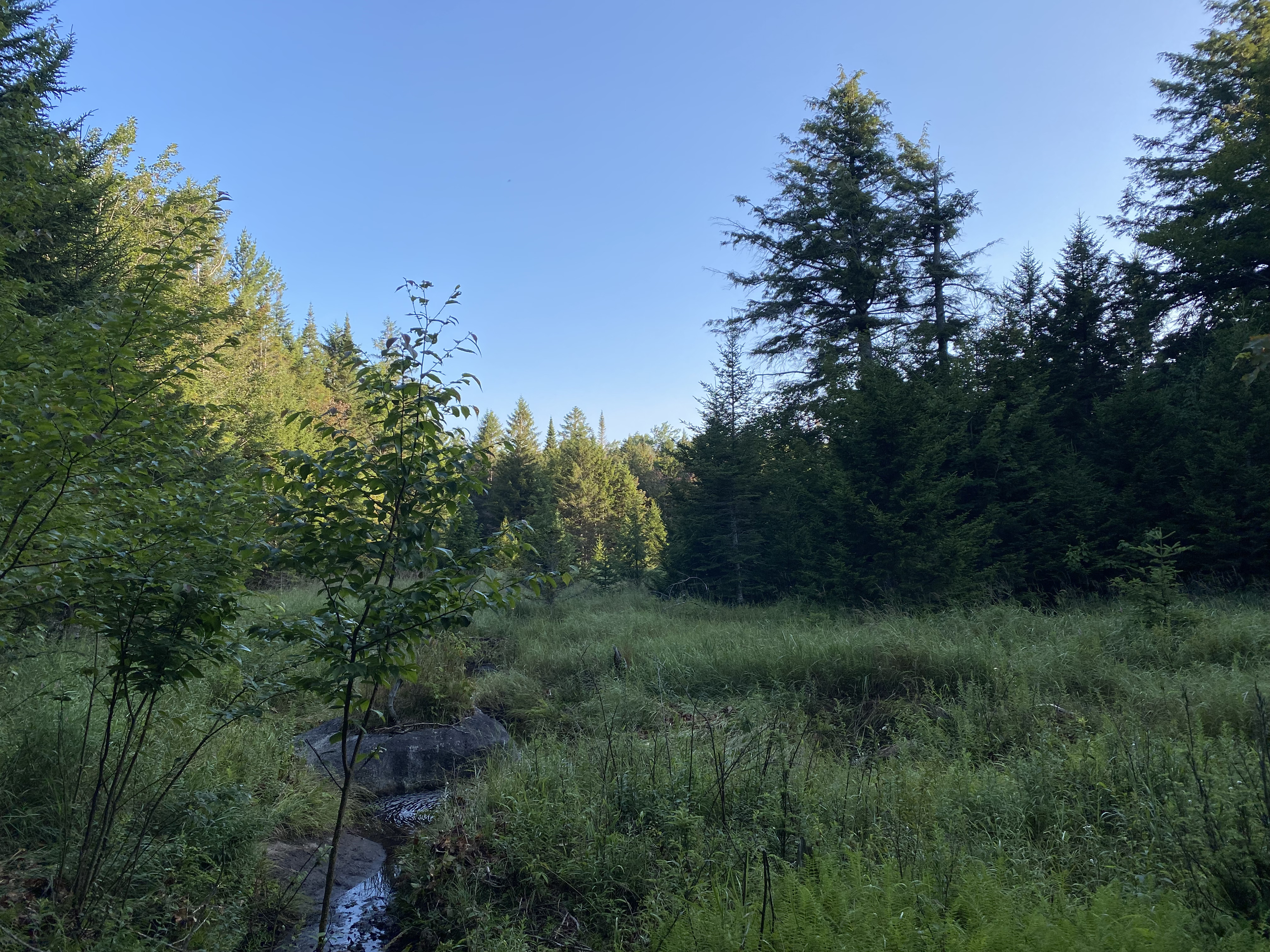
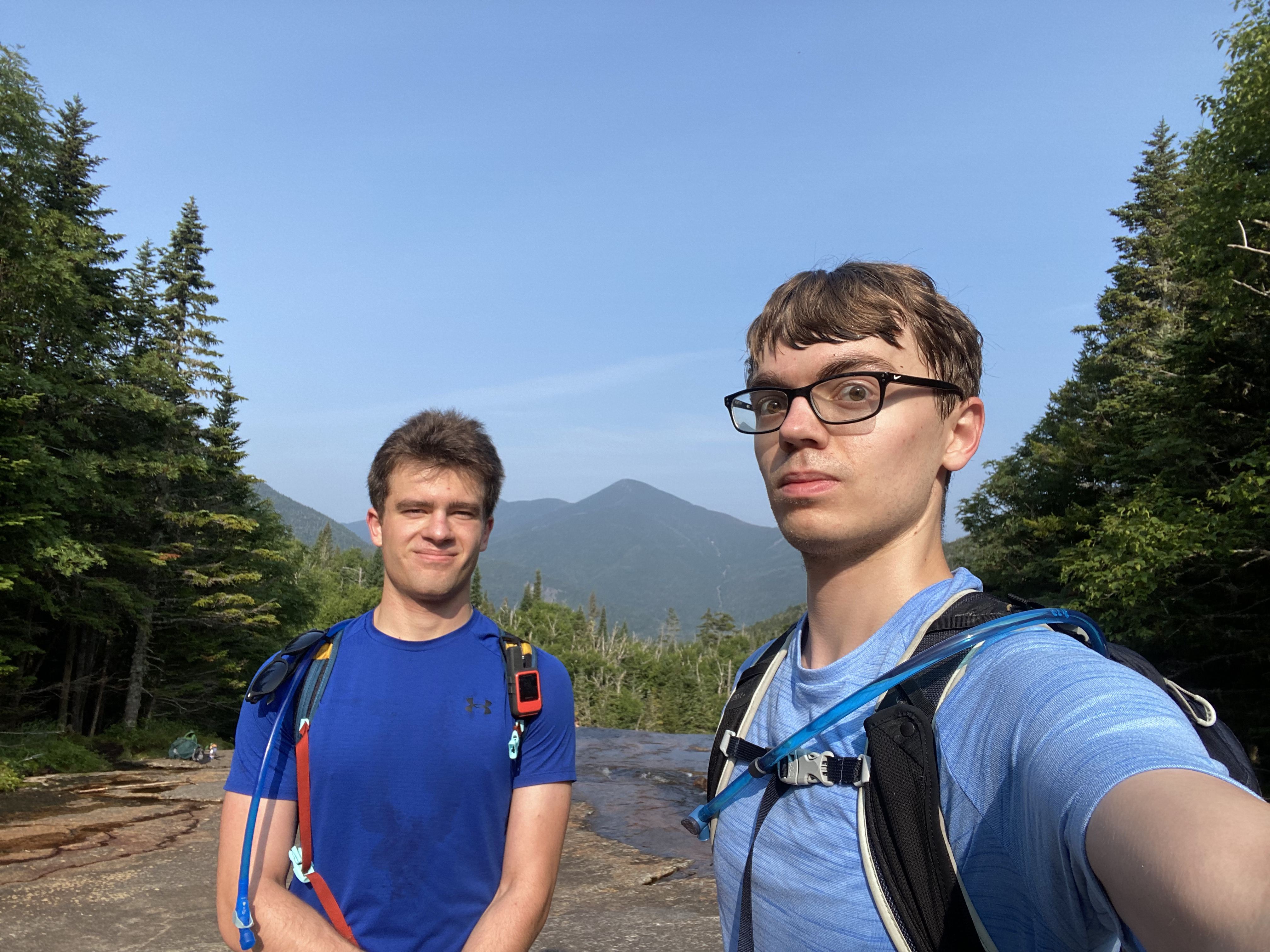
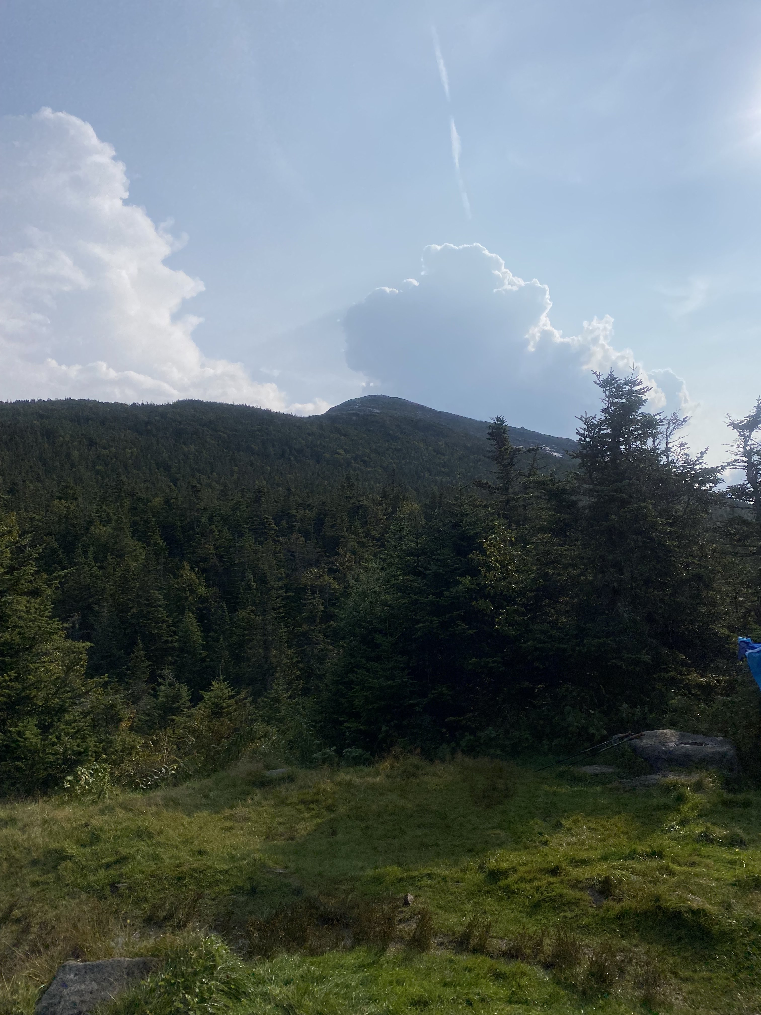
I began hiking with my dad in Lake George at the age of 19. This image shows me on Sleeping
Beauty, one of said
trips and the first mountain I hiked. This is quite a late start but the passion progressed quickly!
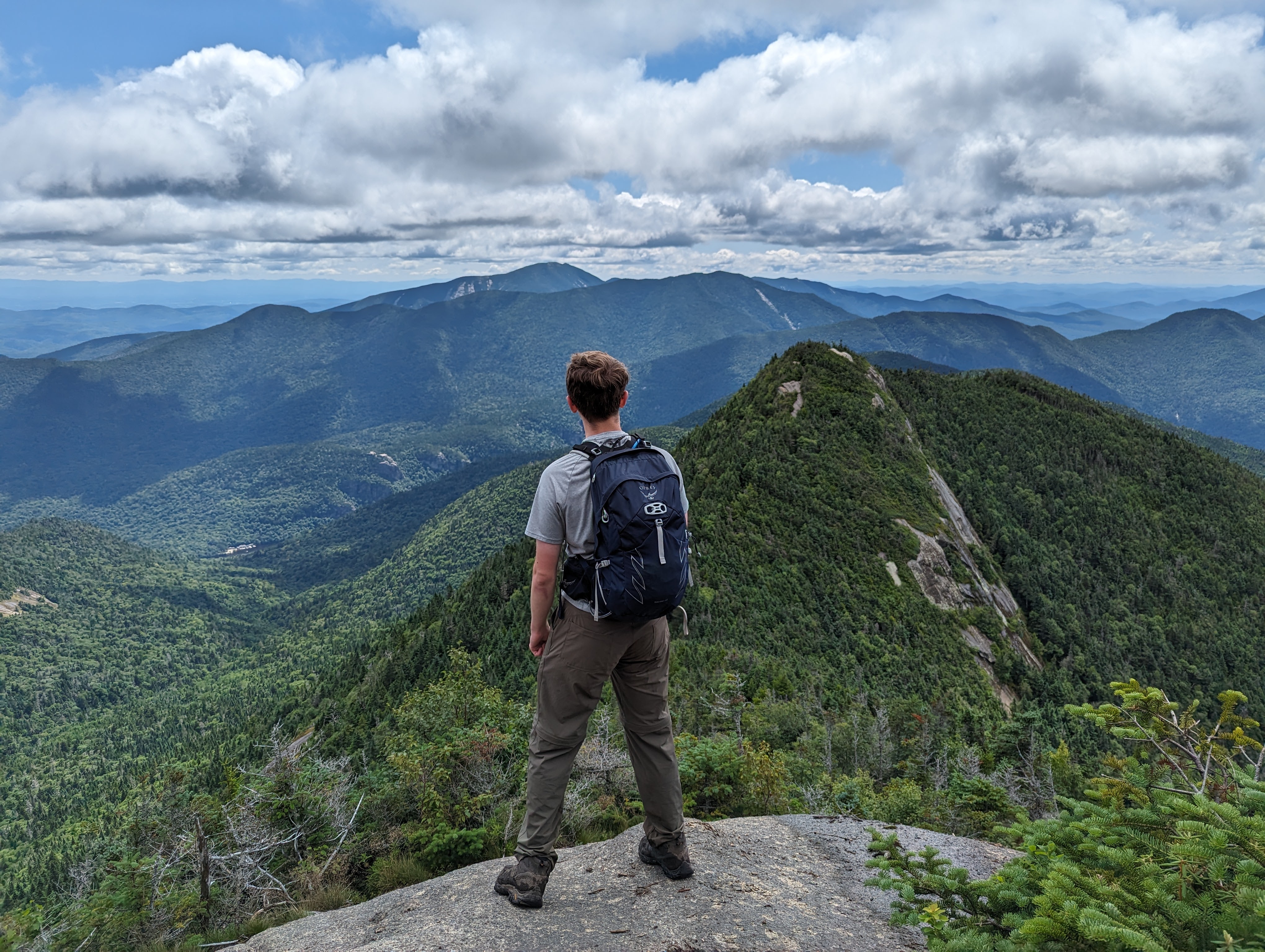
Joining the Rensselaer
Outing Club allowed me to start doing some of the Adirondack's High Peaks and, by the following summer,
I was hitting the trails. On 8/14/2024, I finished my Adirondack 46 on Skylight. This challenge has
significantly grown me as both a hiker and a person. It is also one of my best accomplishments. I am 46er
#15815!
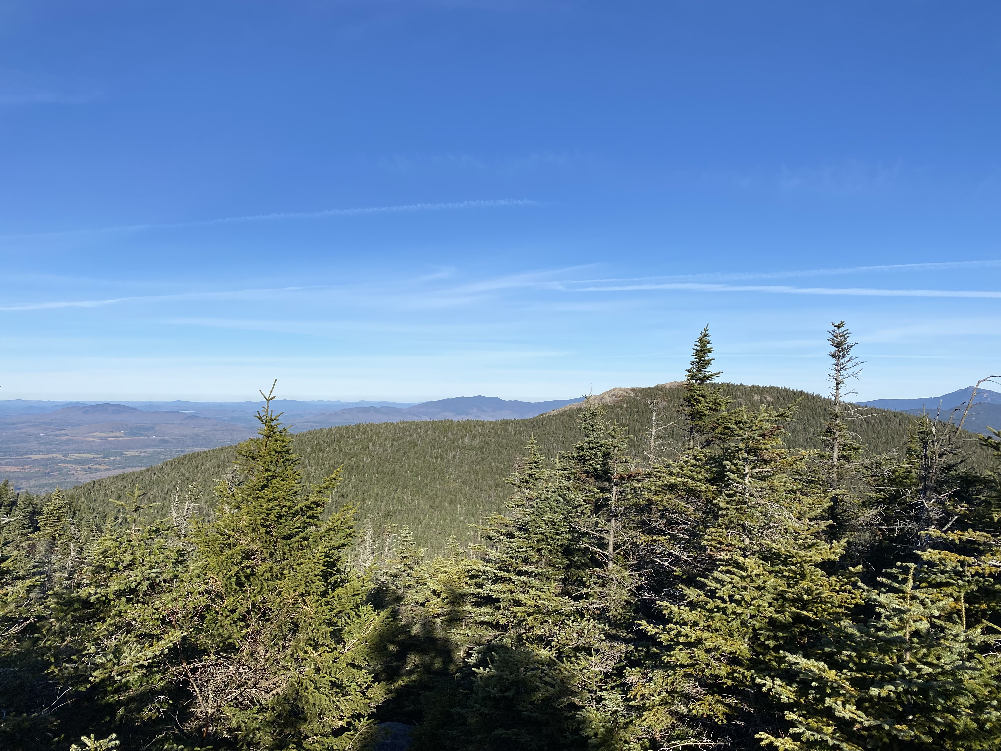
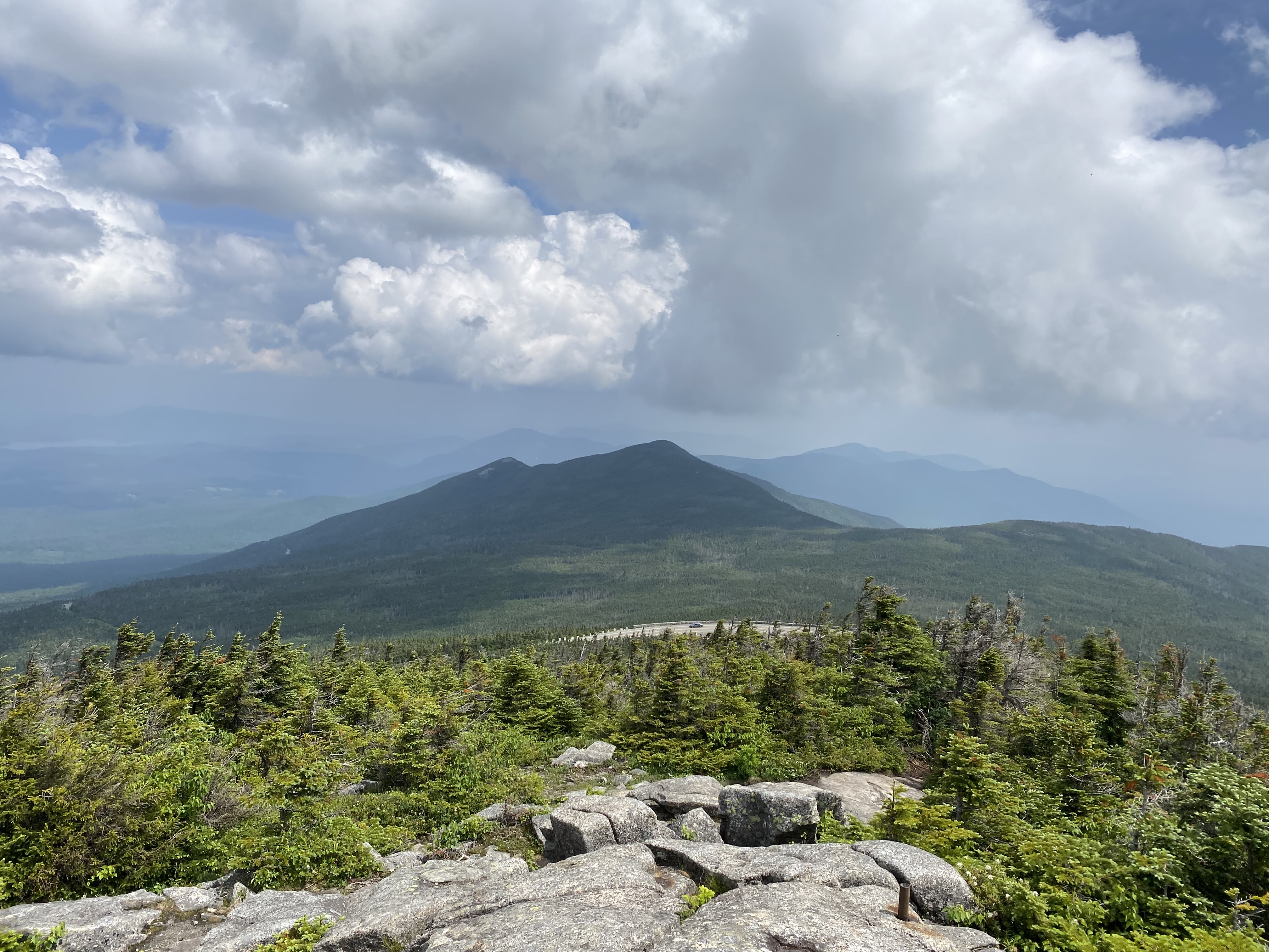
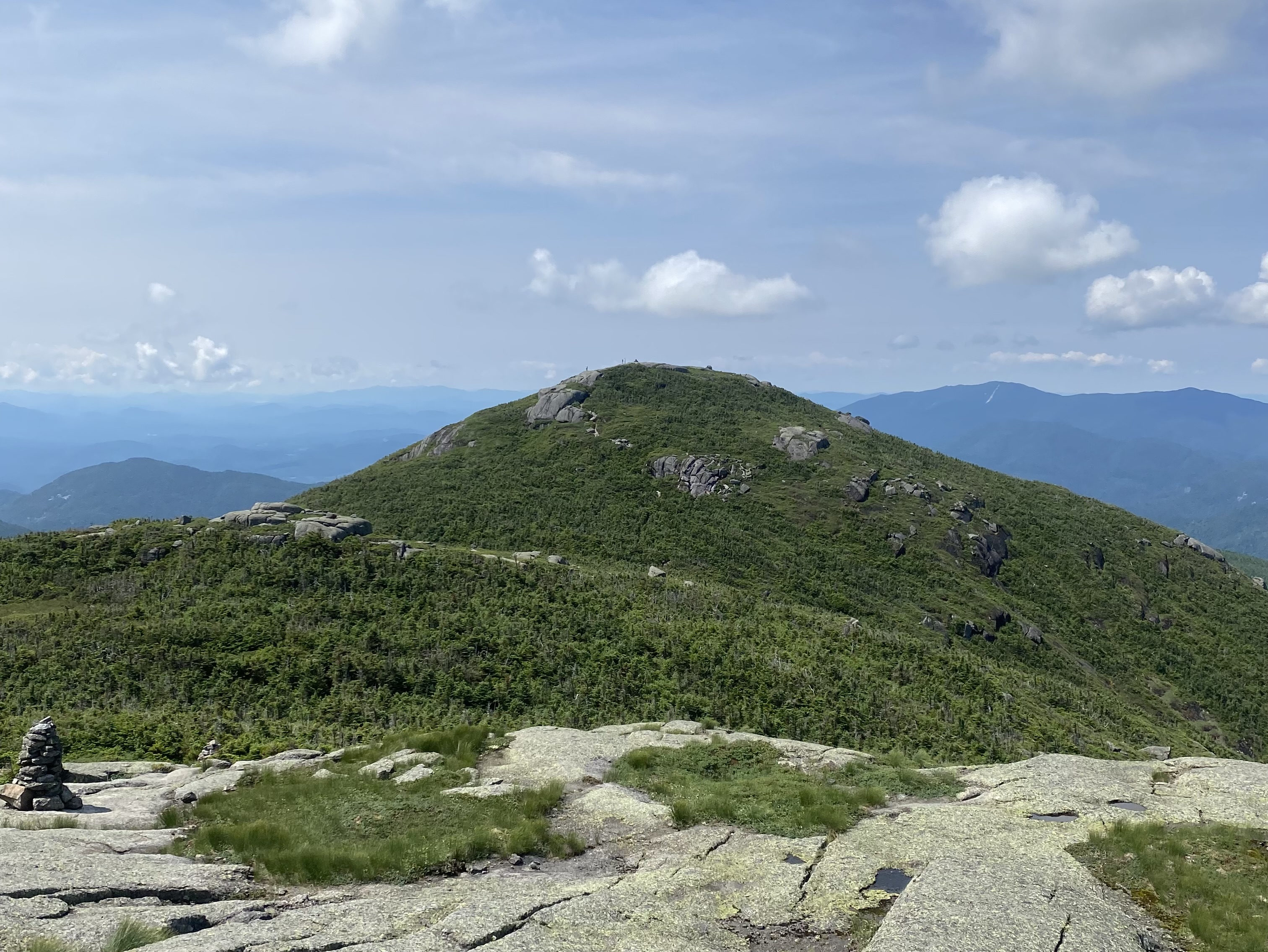
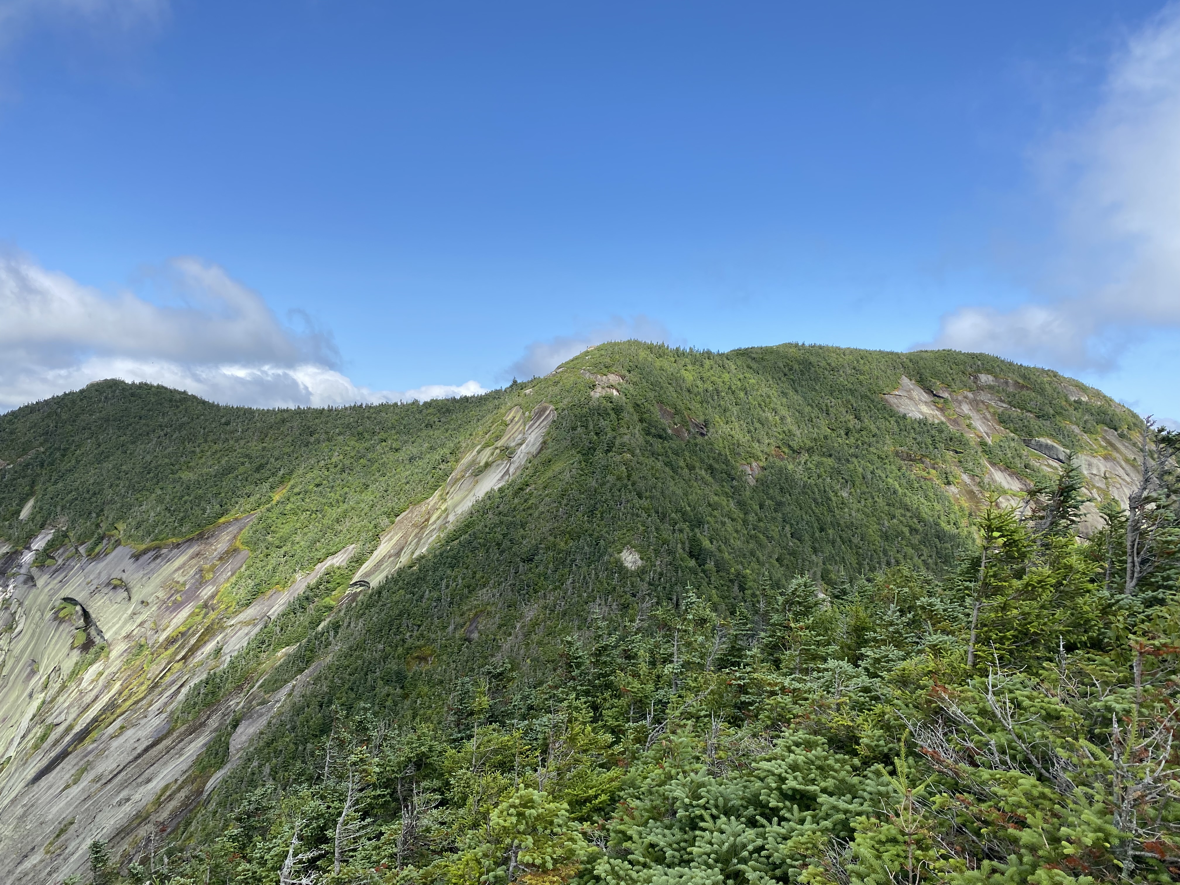
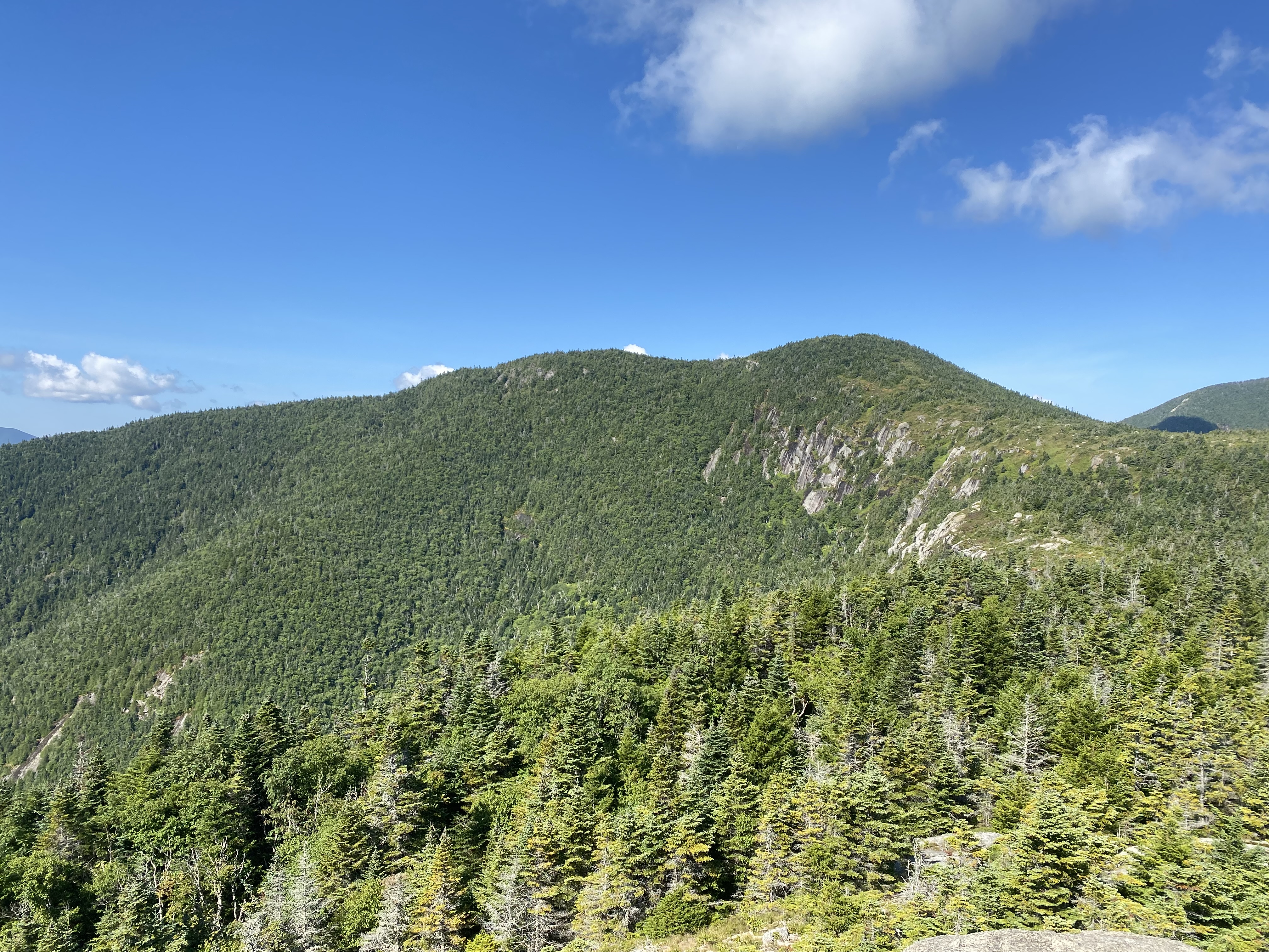
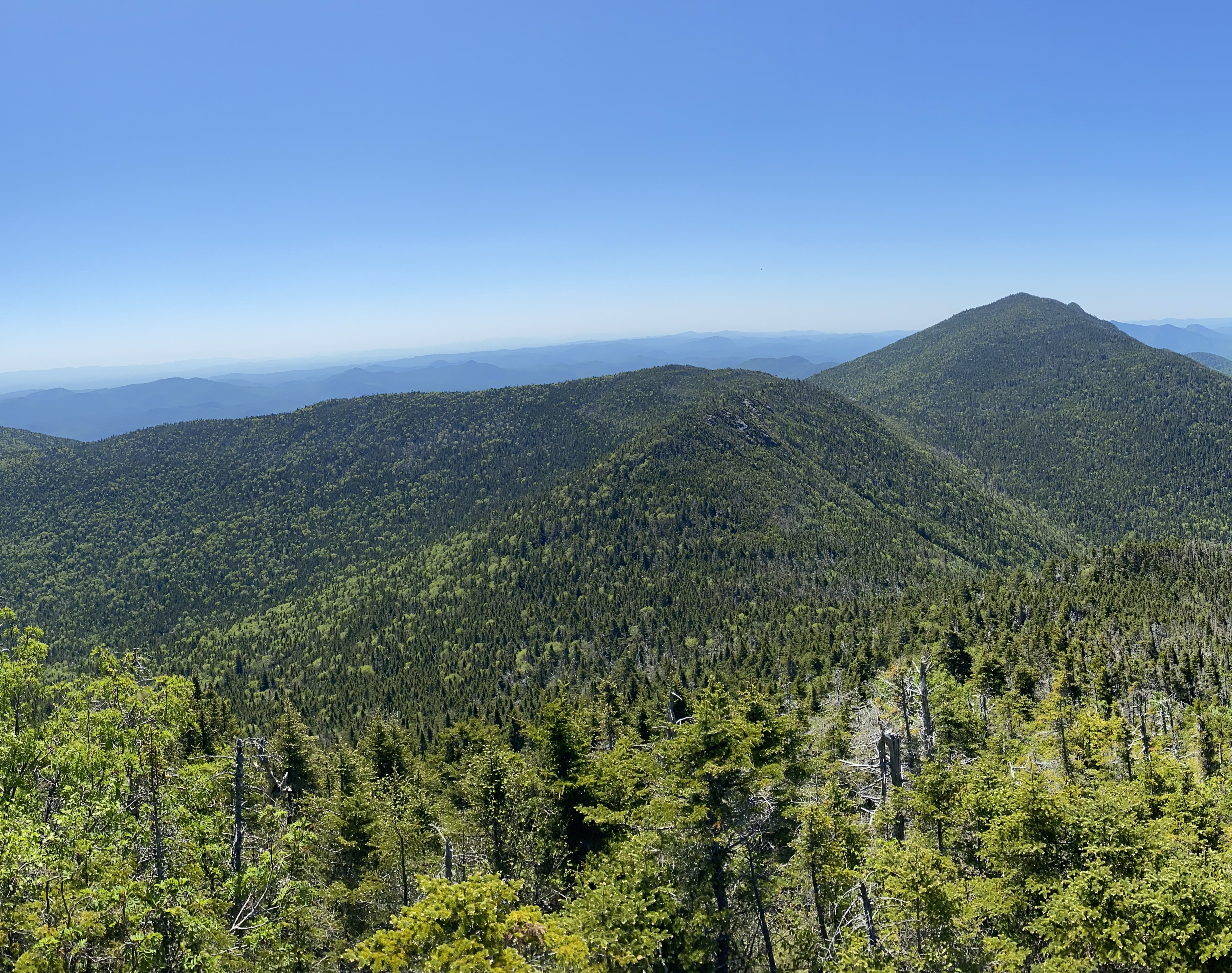
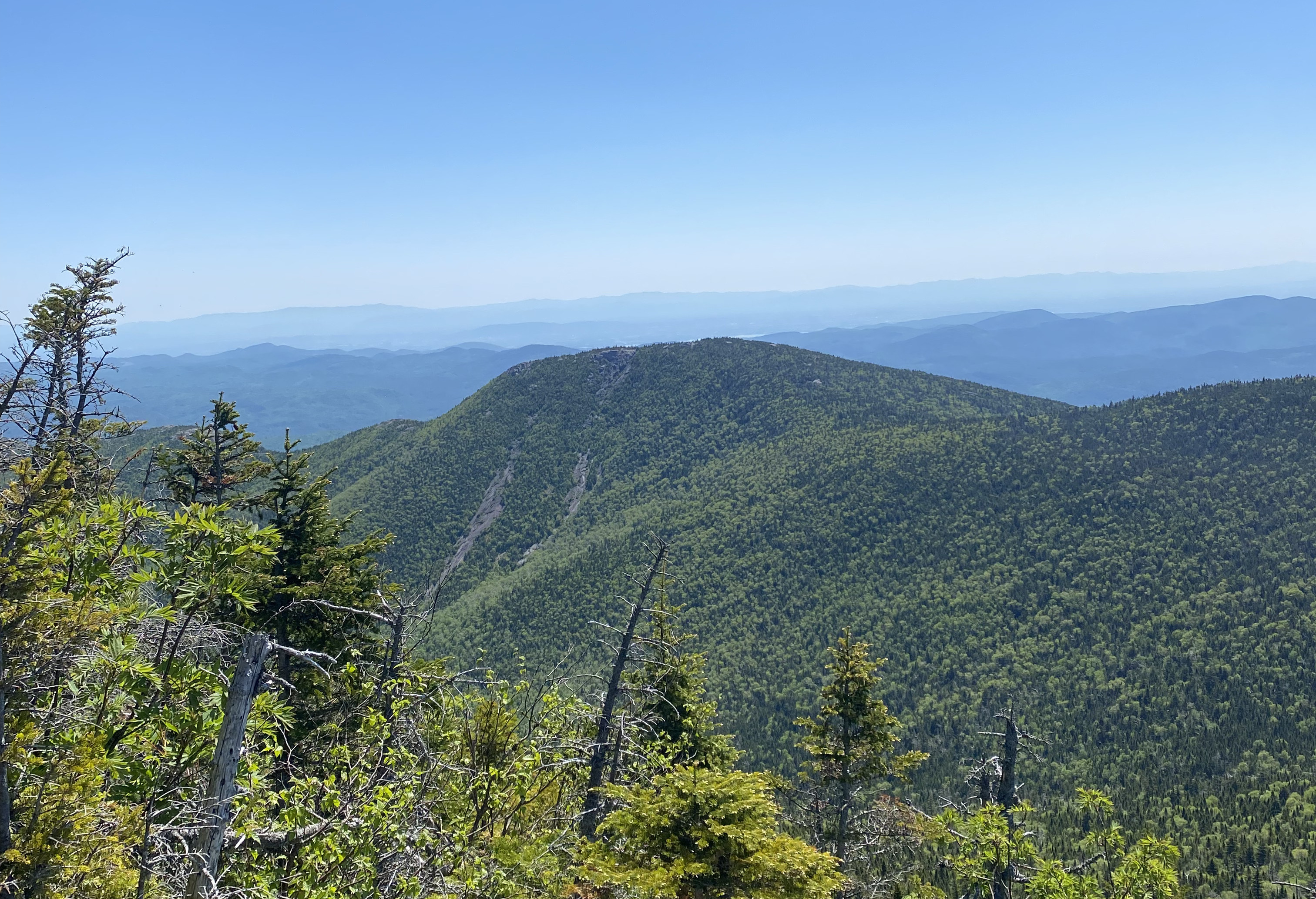
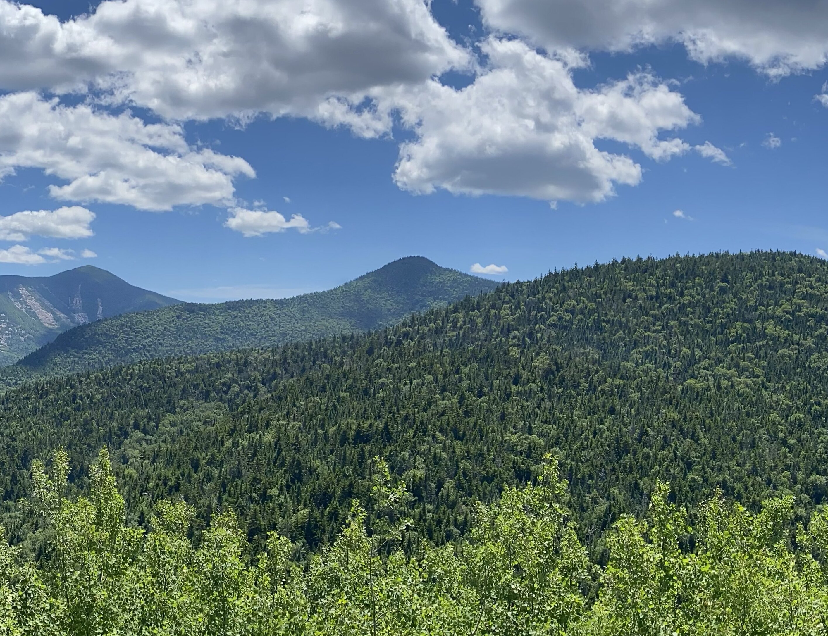
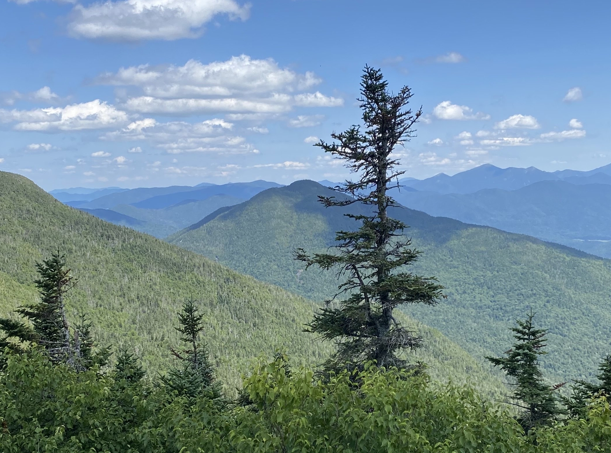
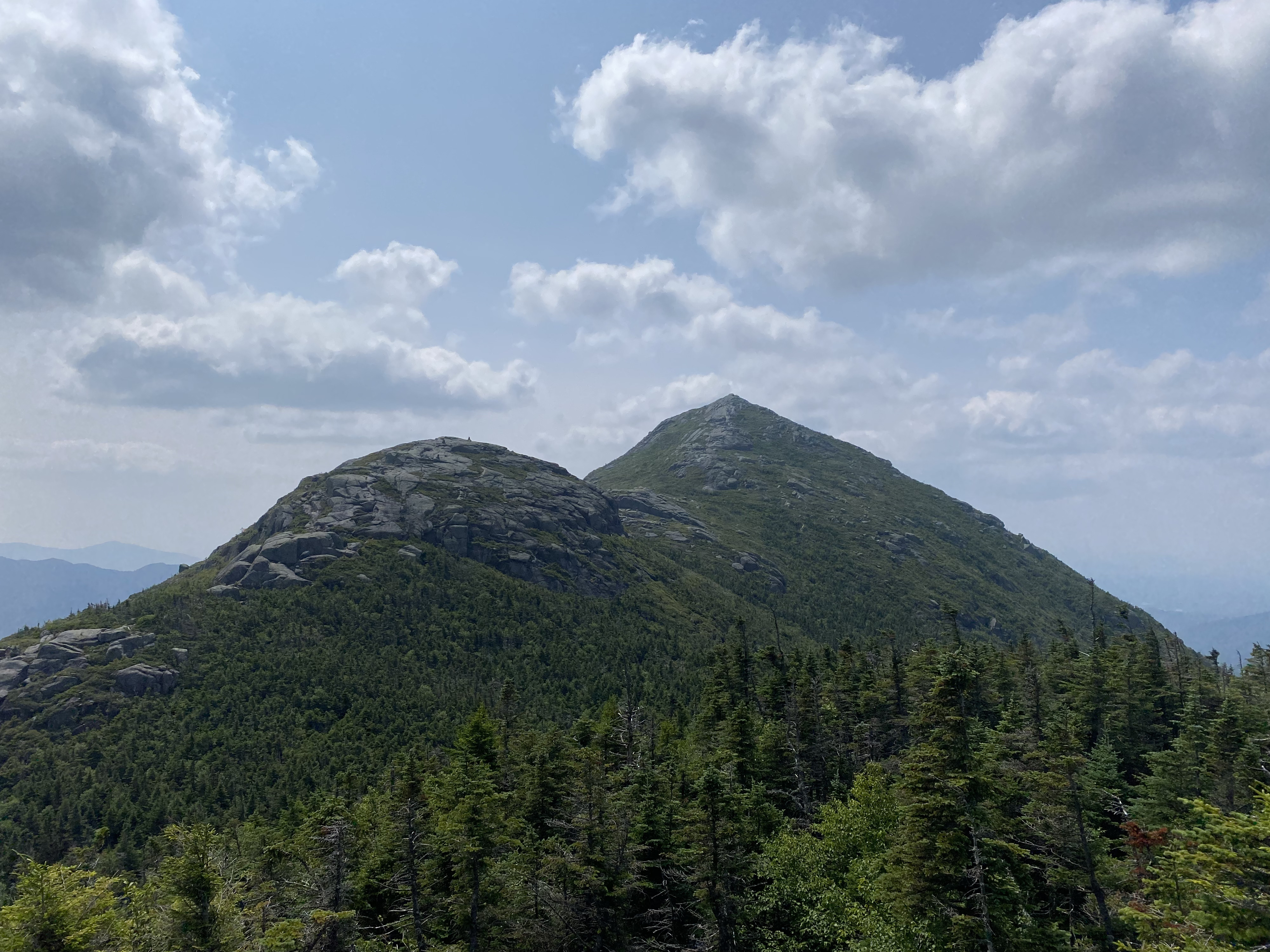
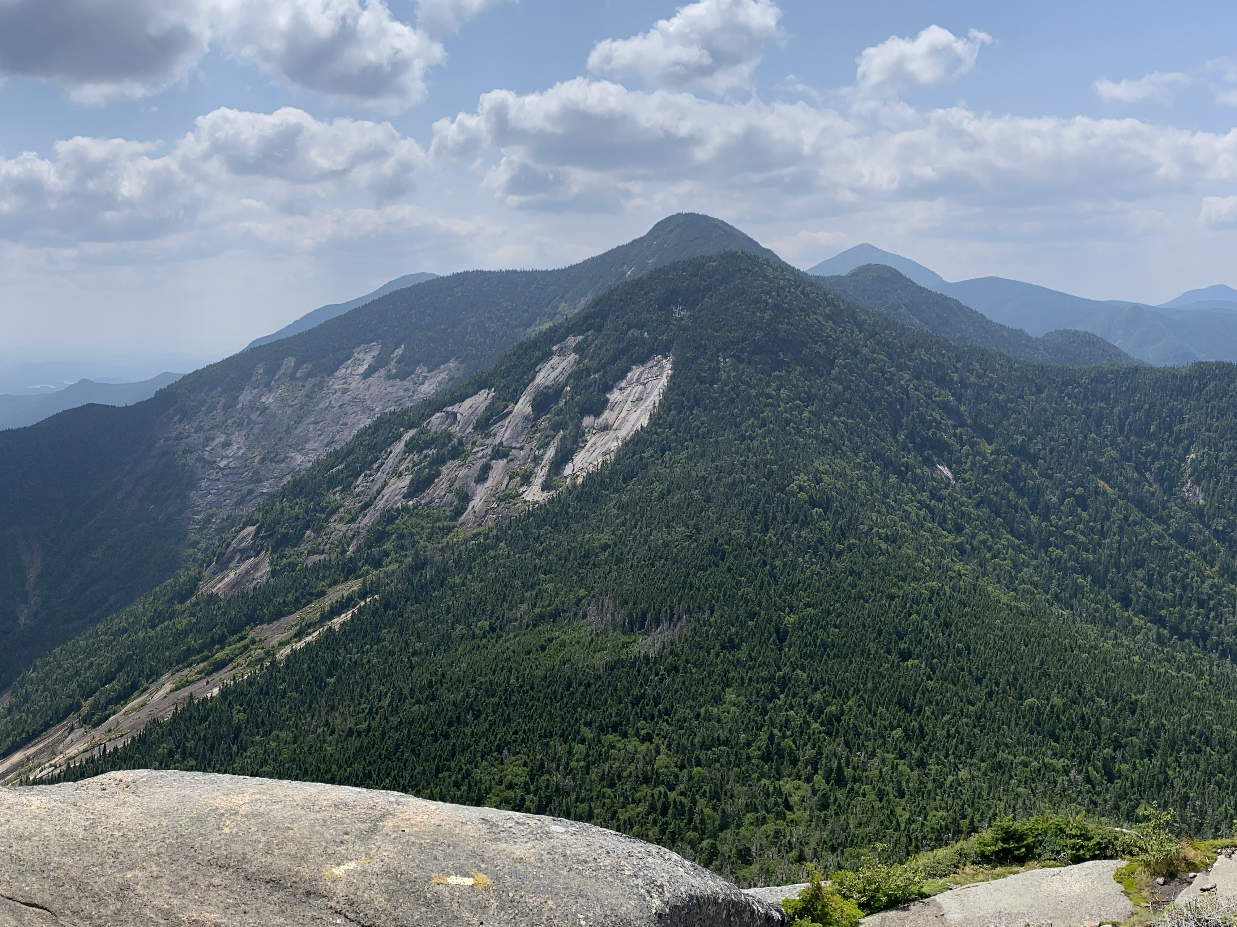
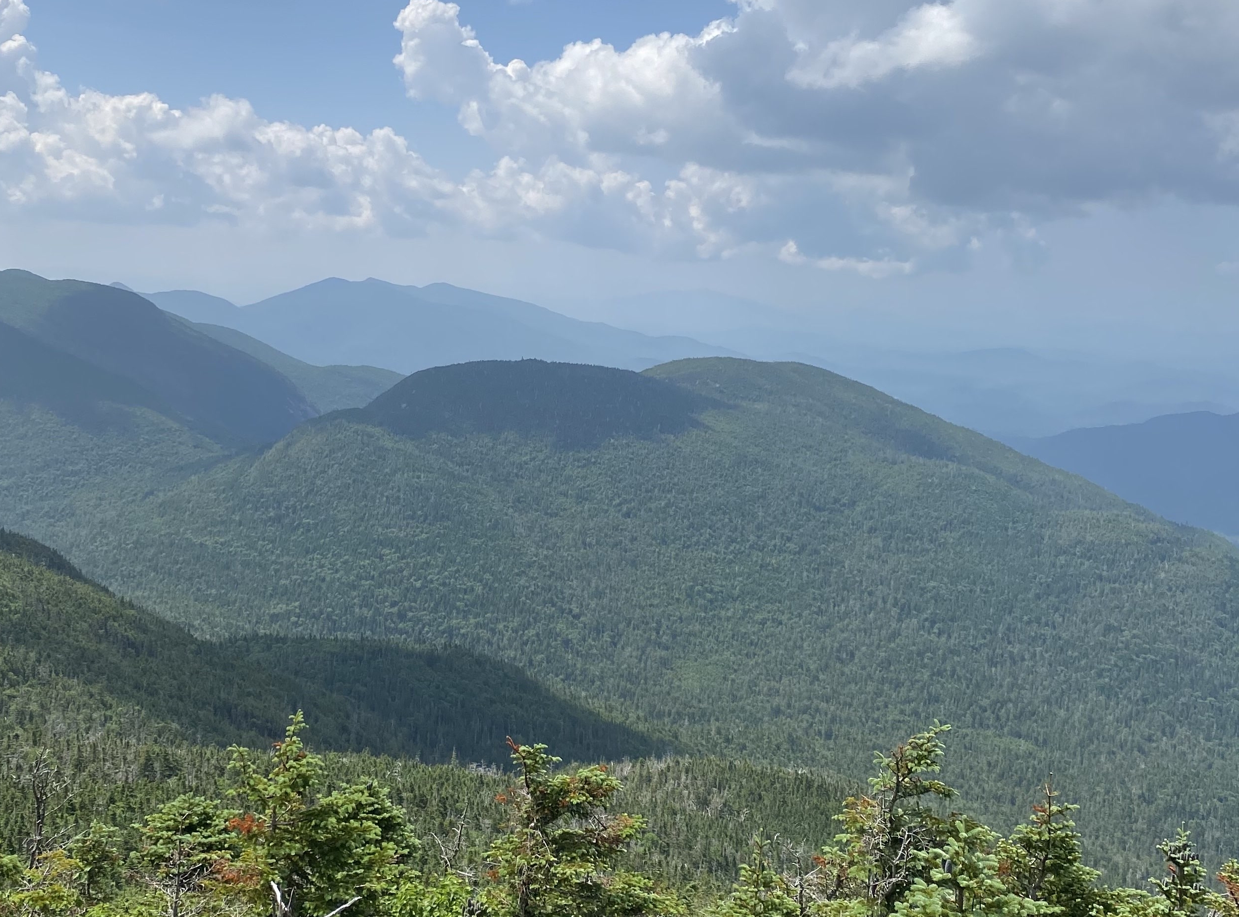
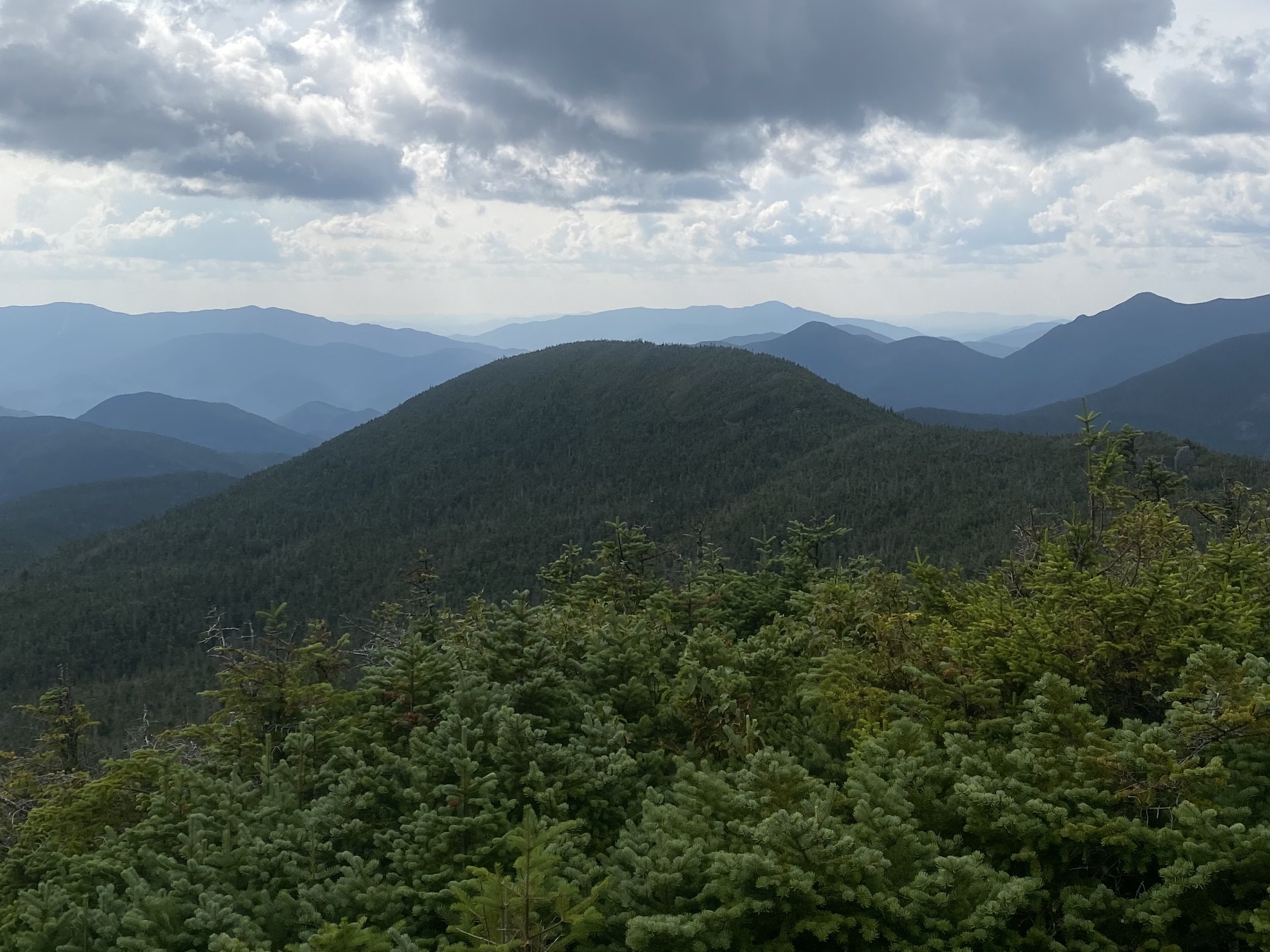
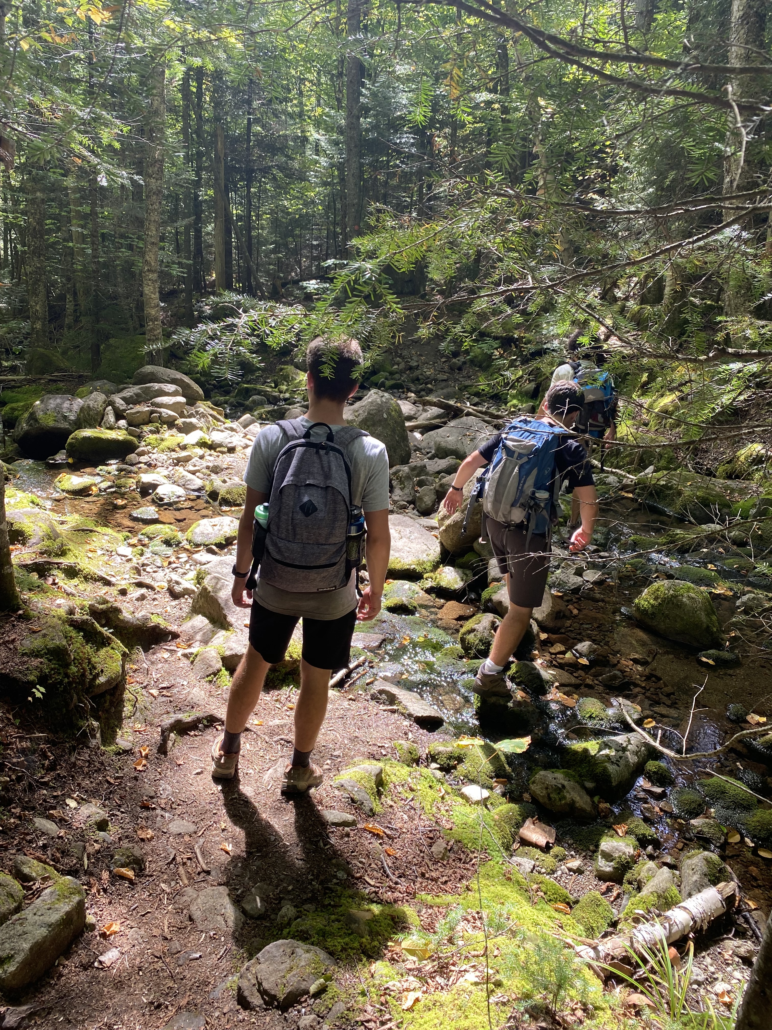
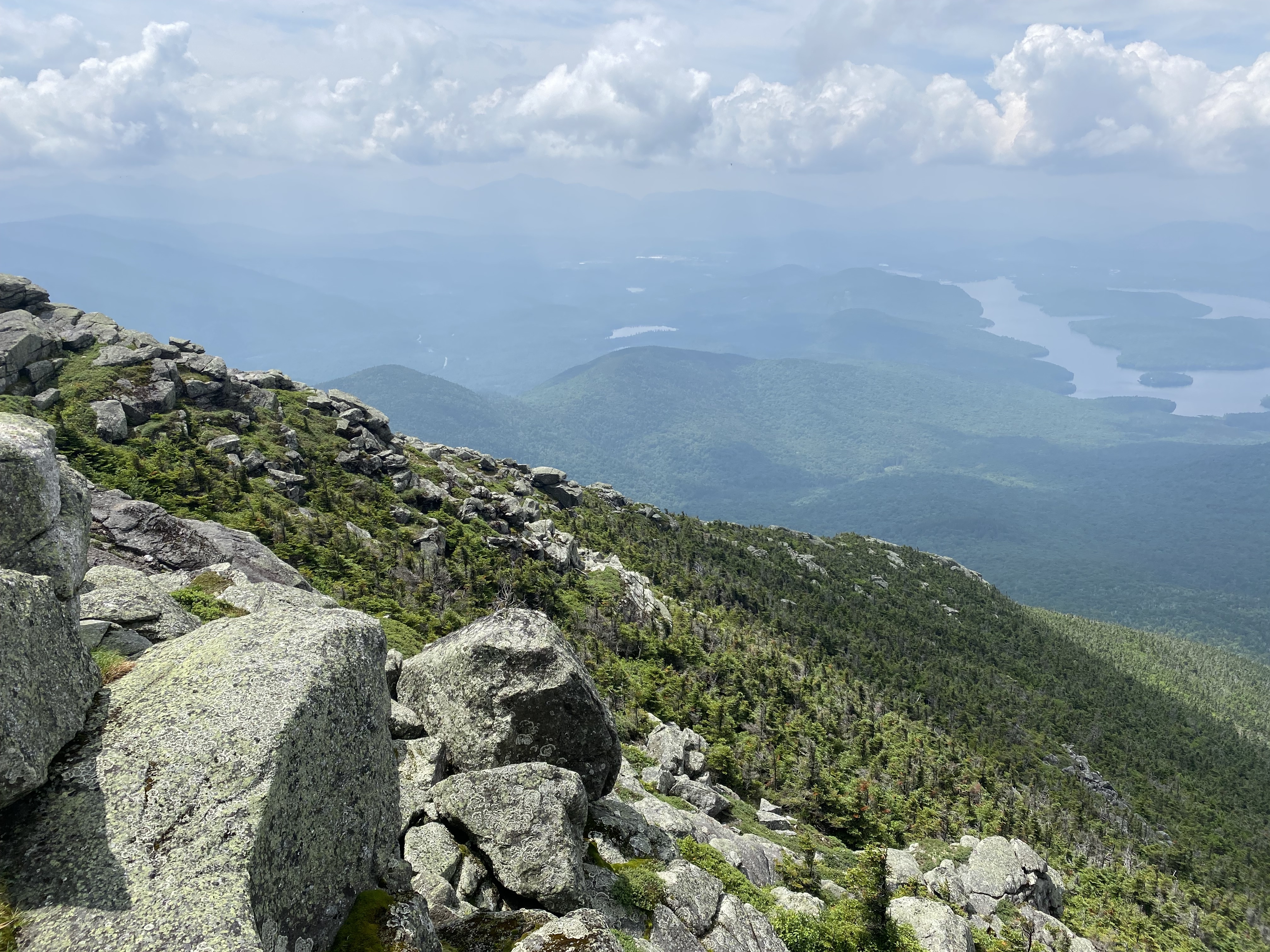
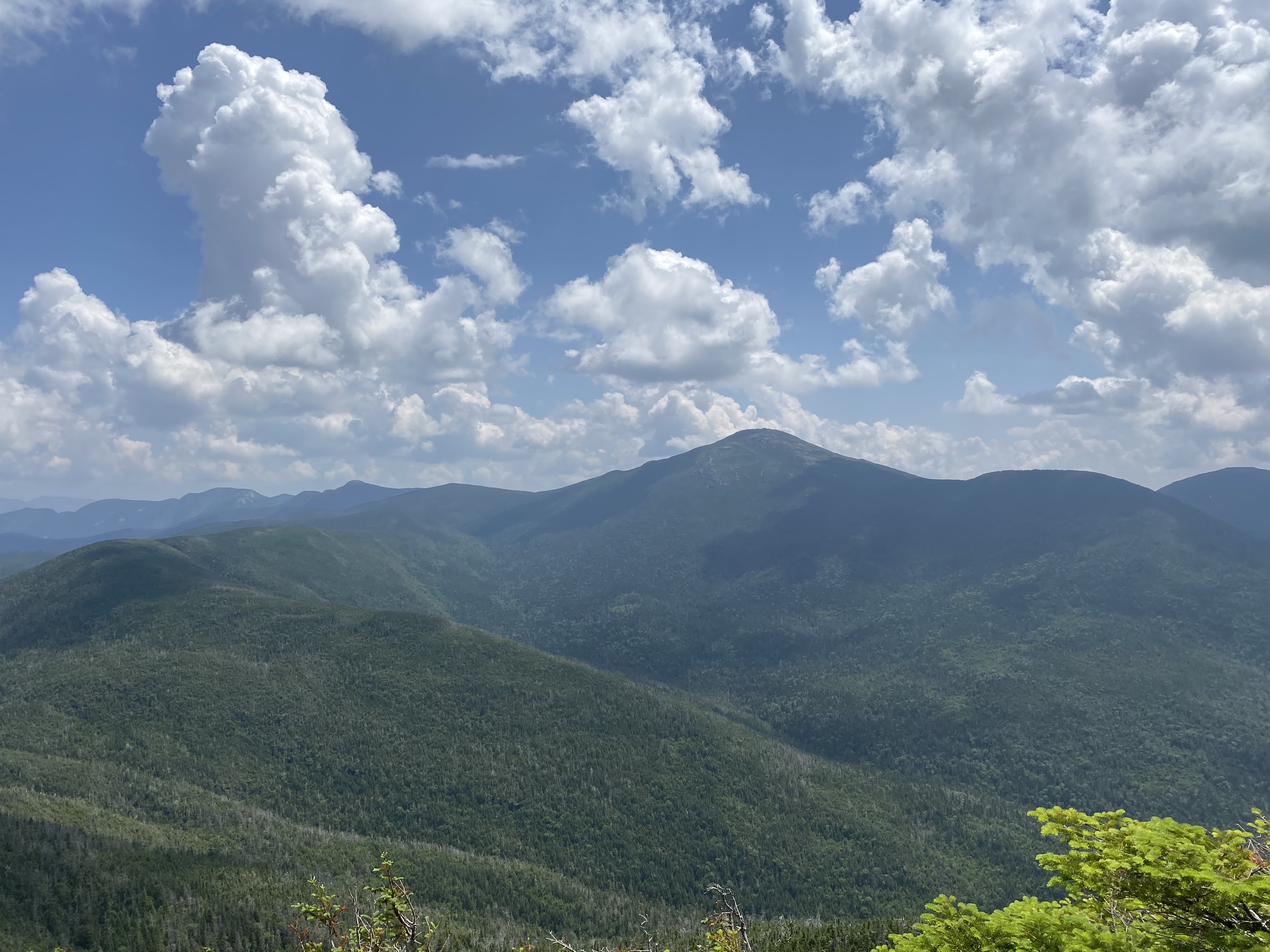
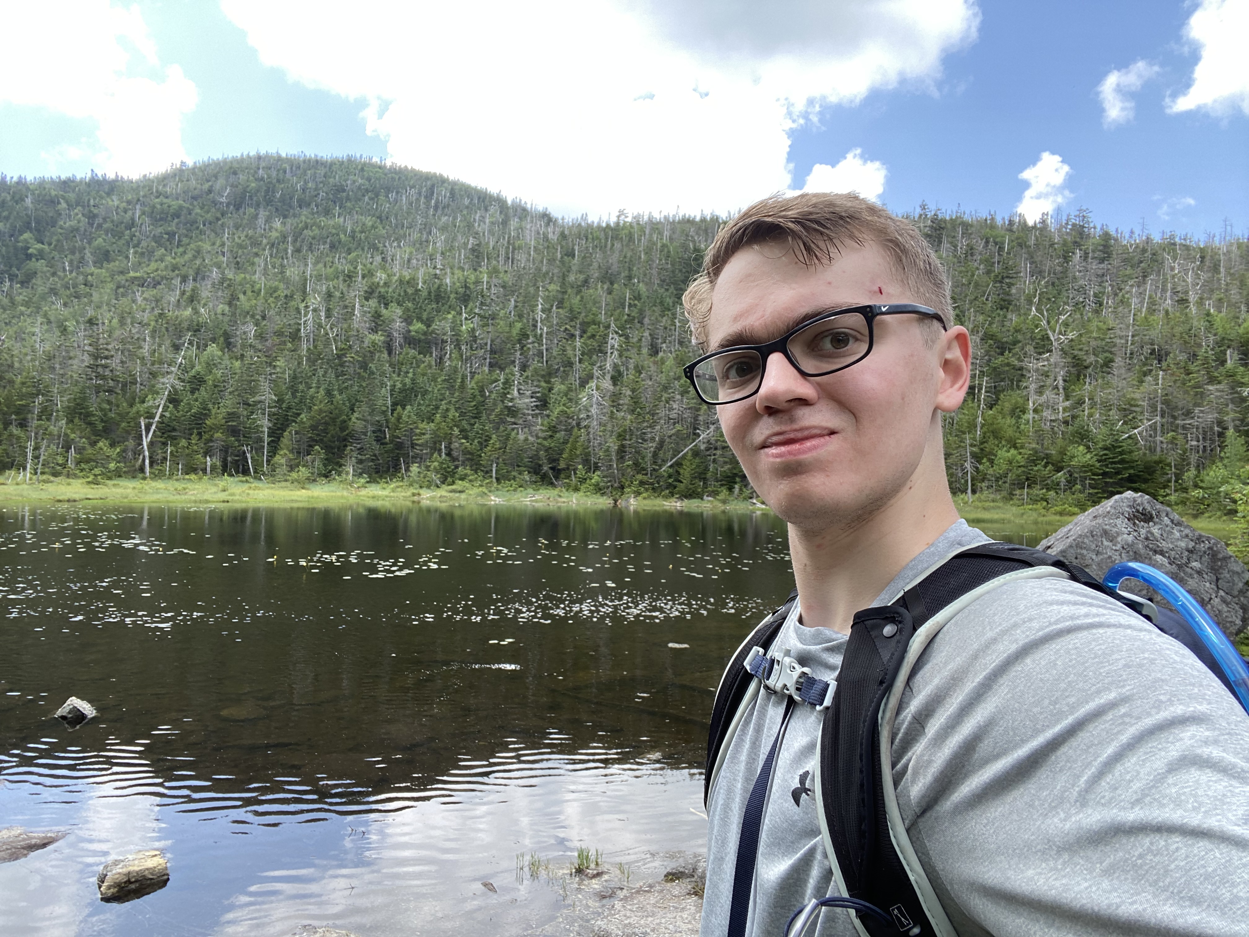
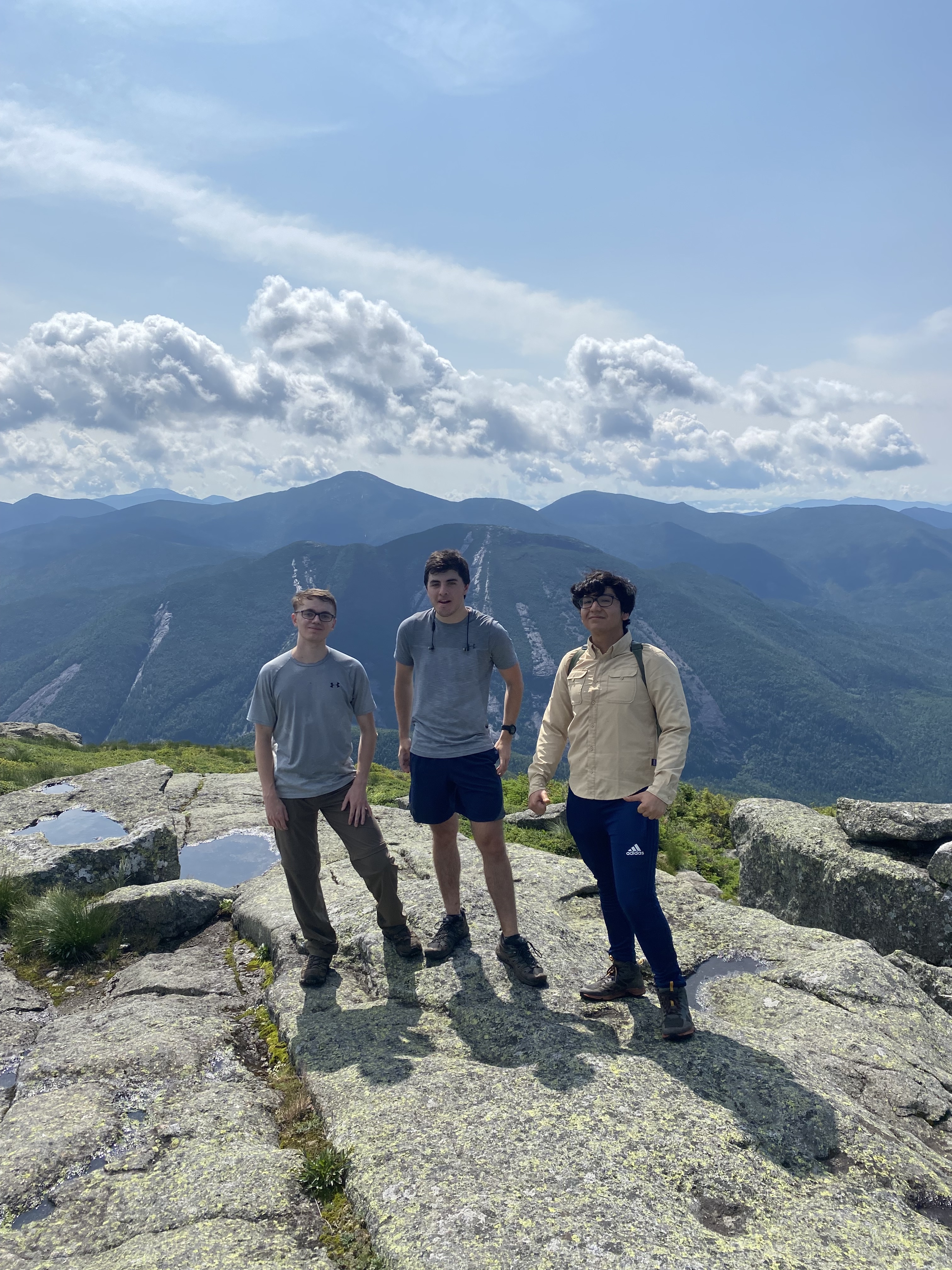
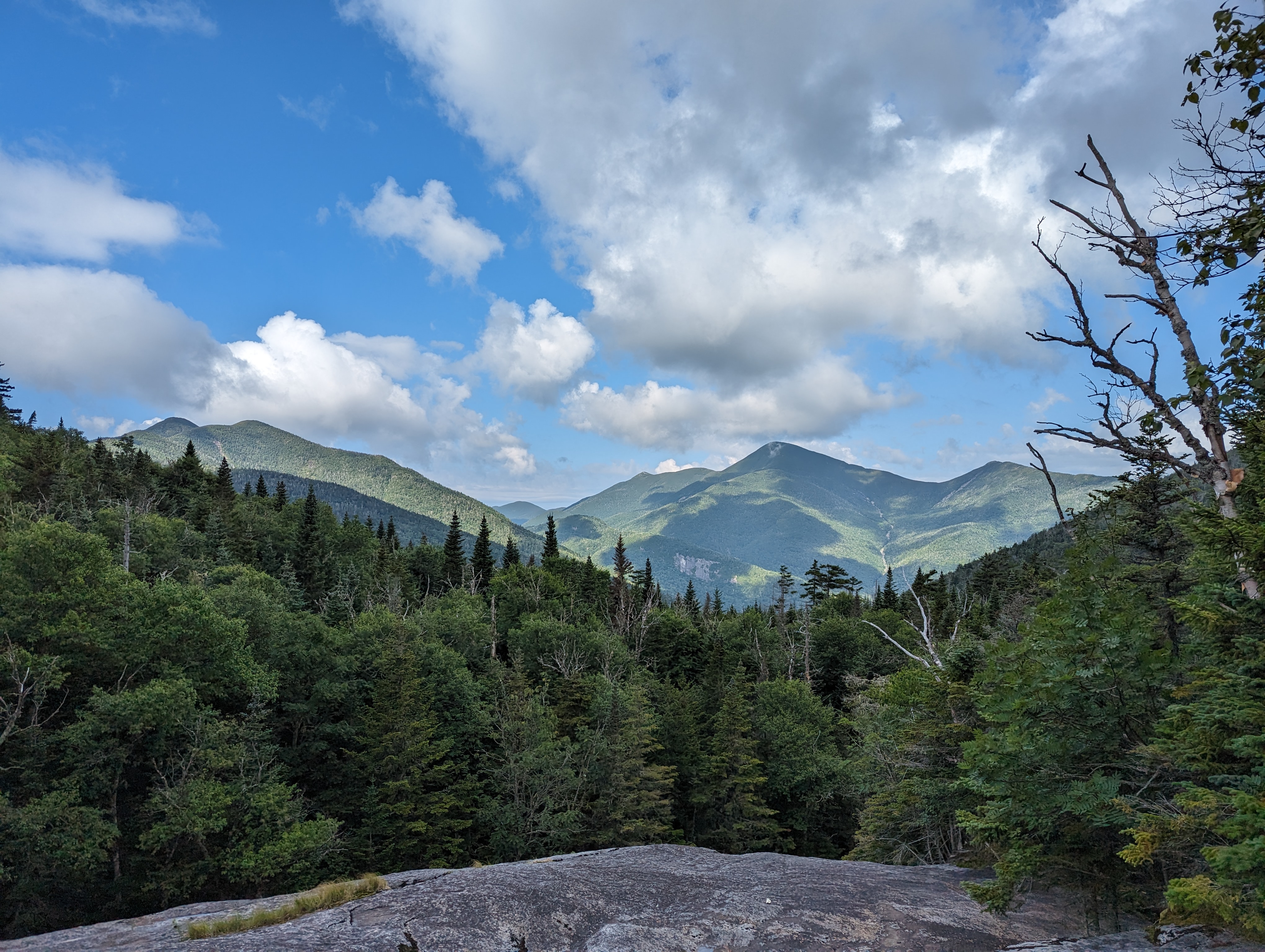
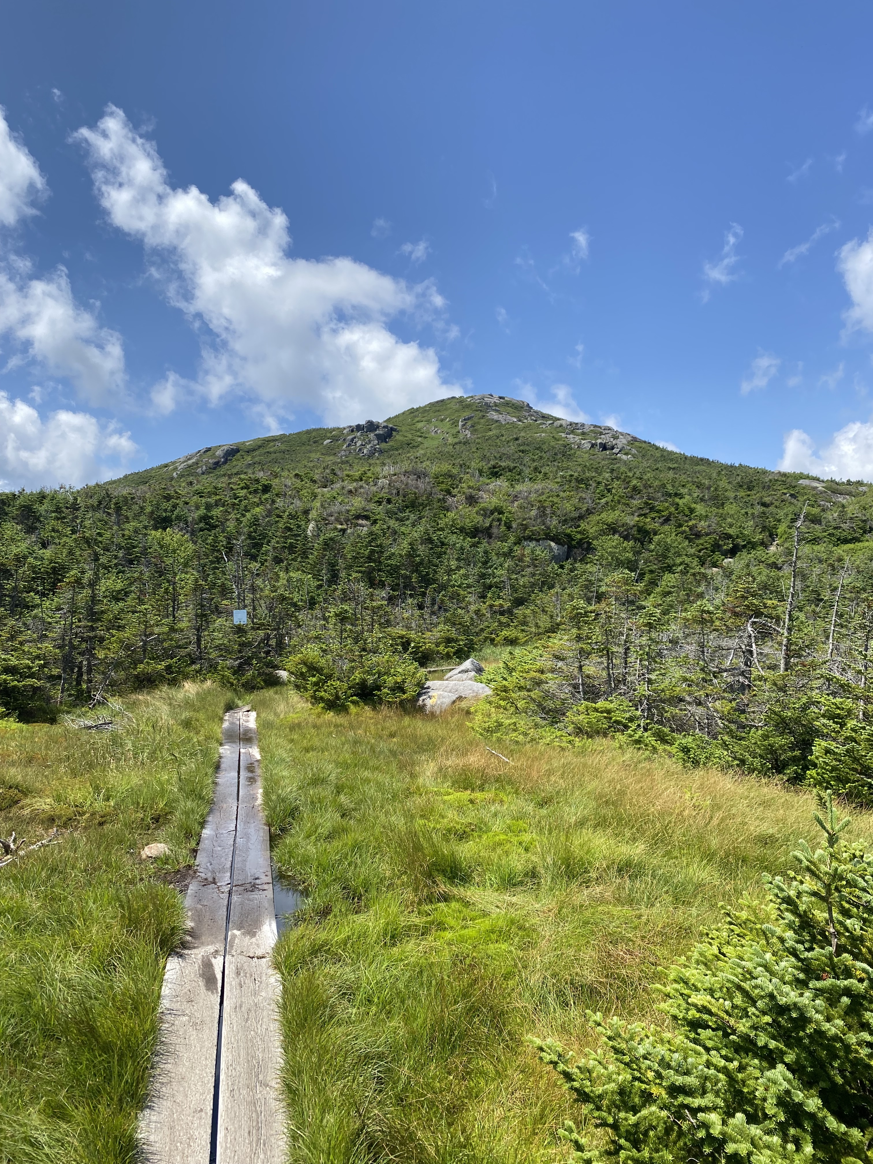
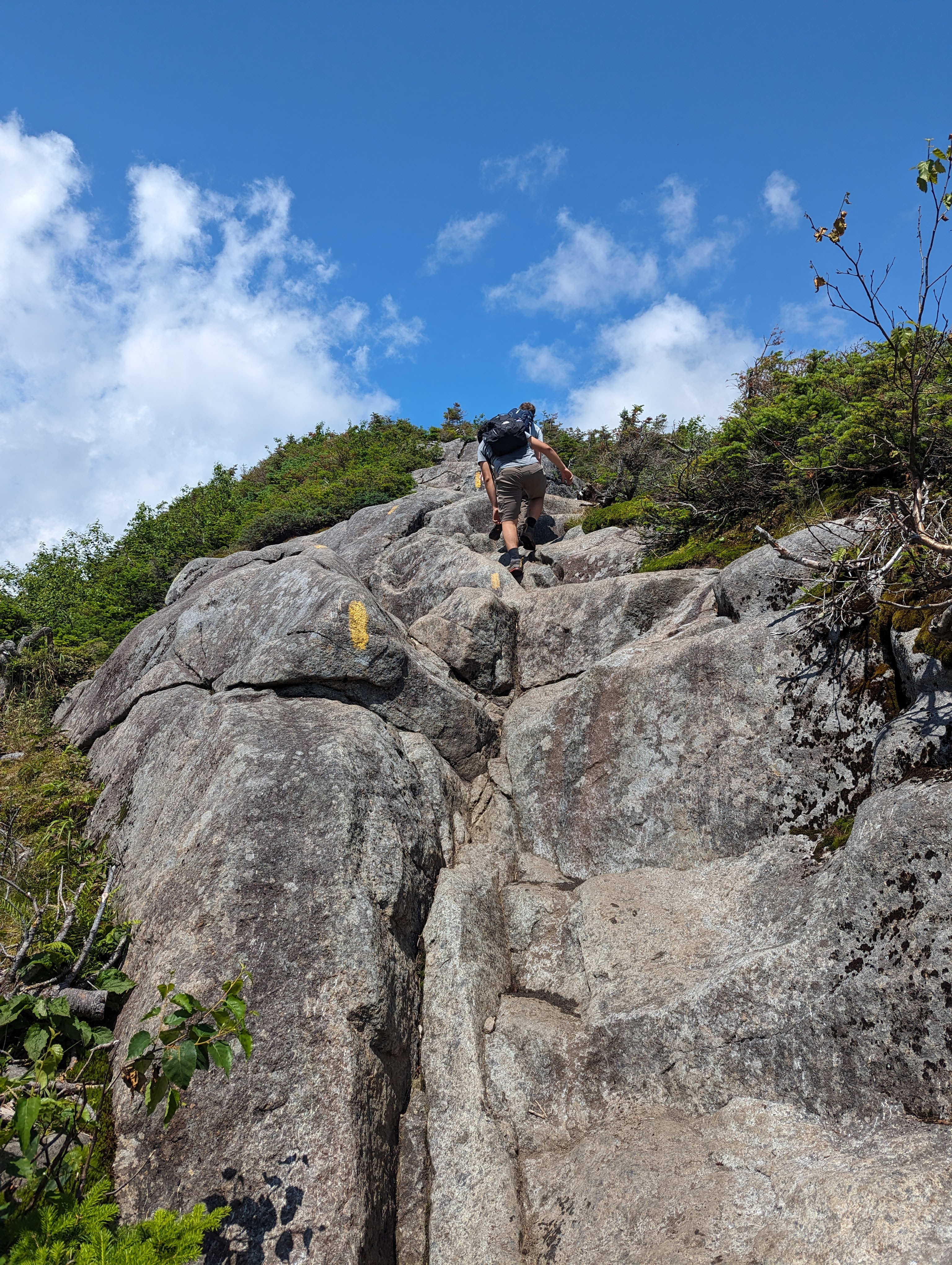
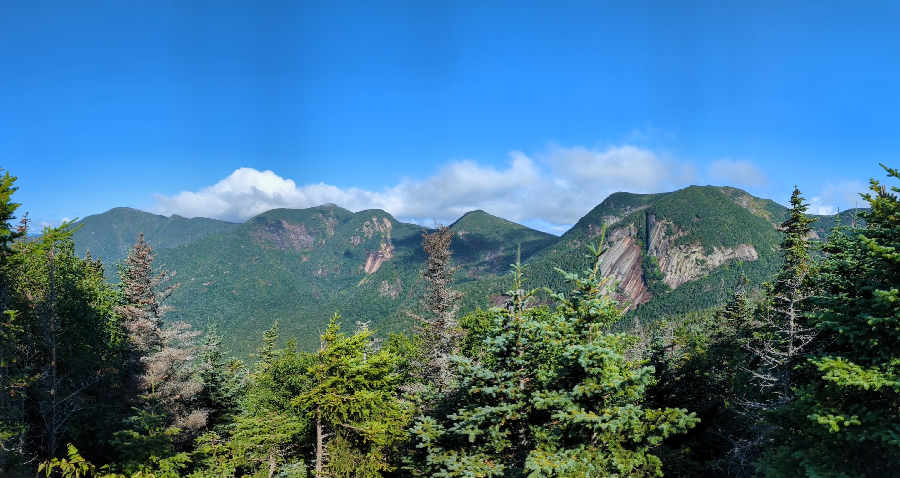
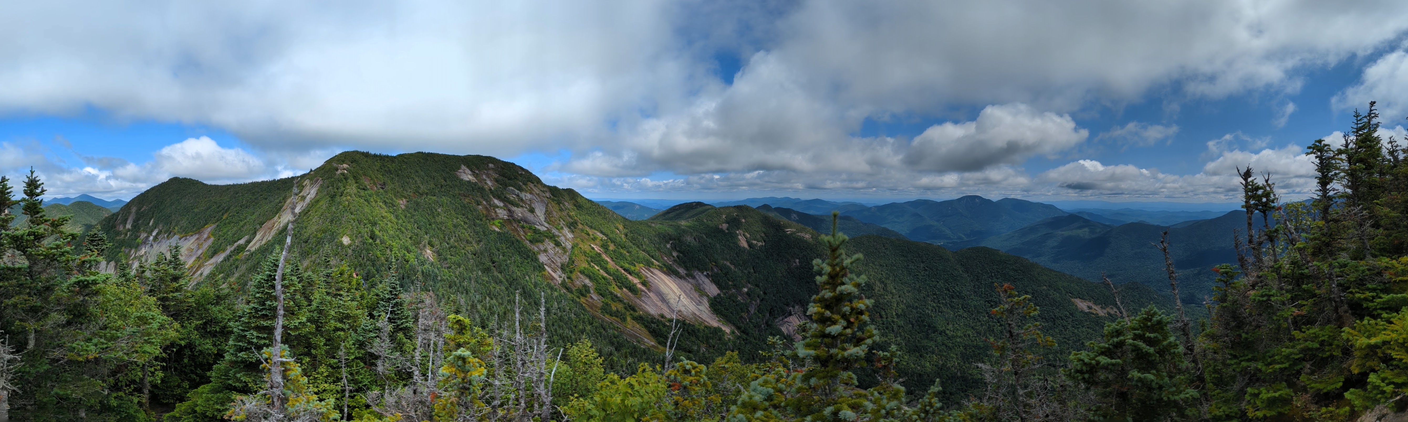
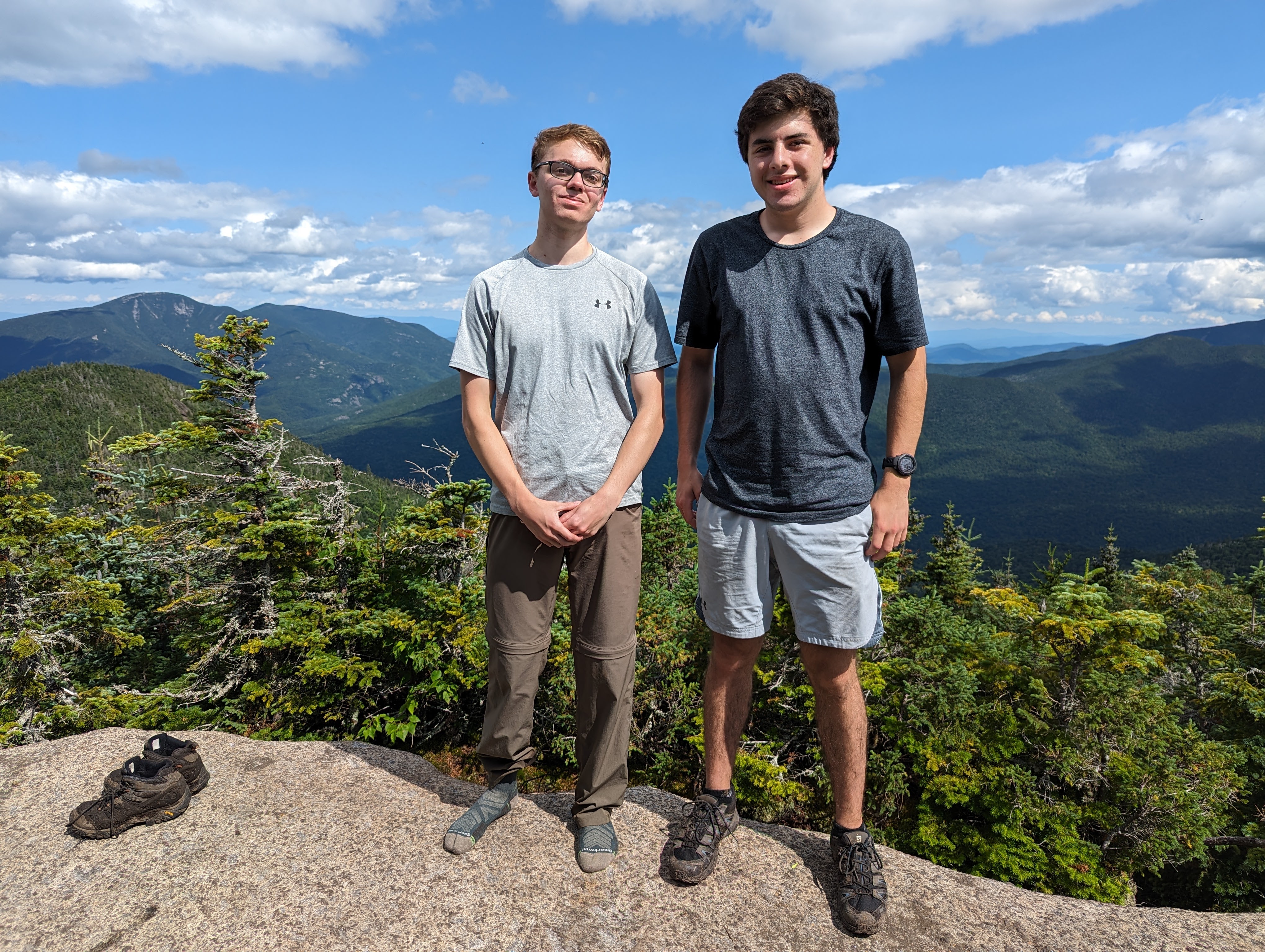
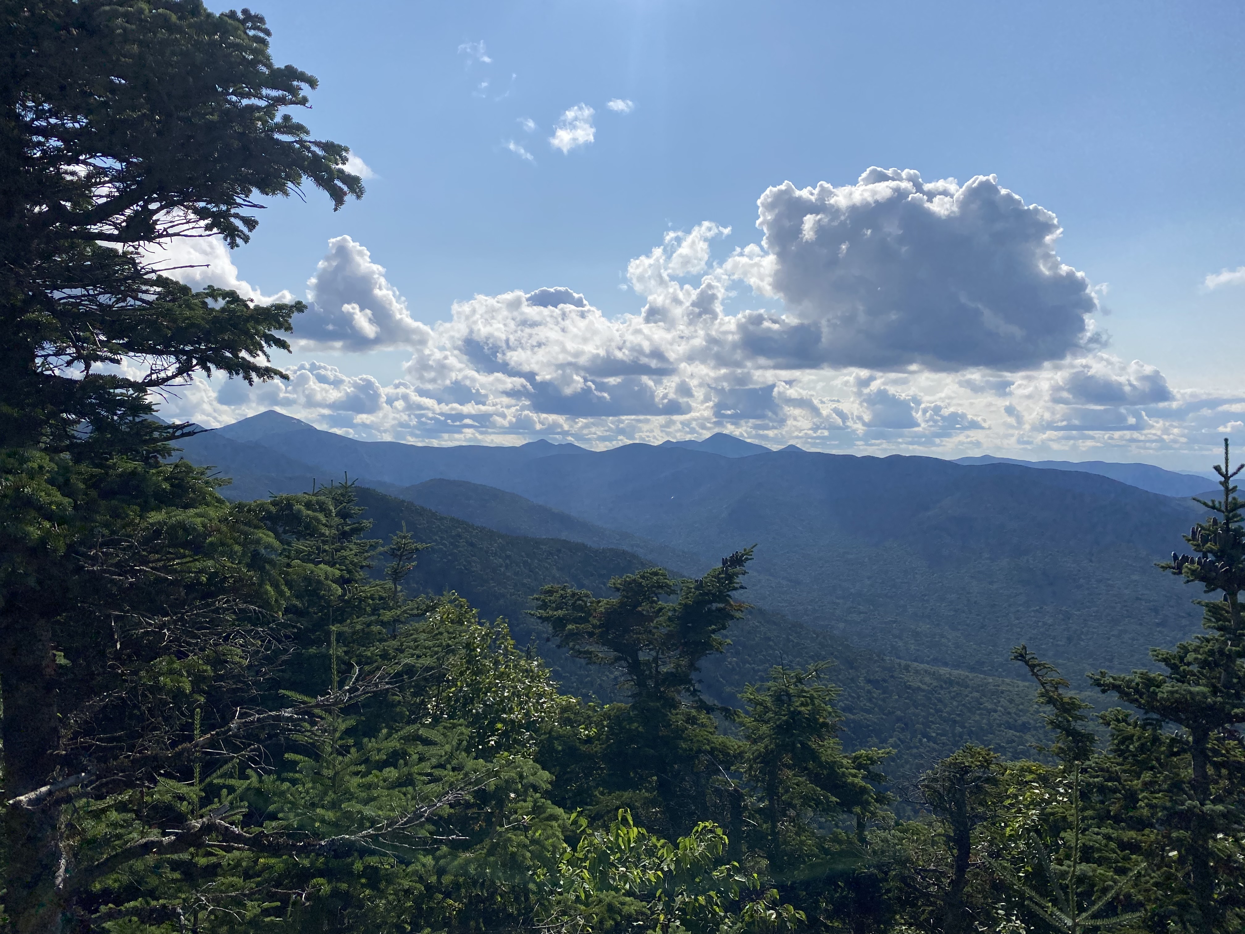
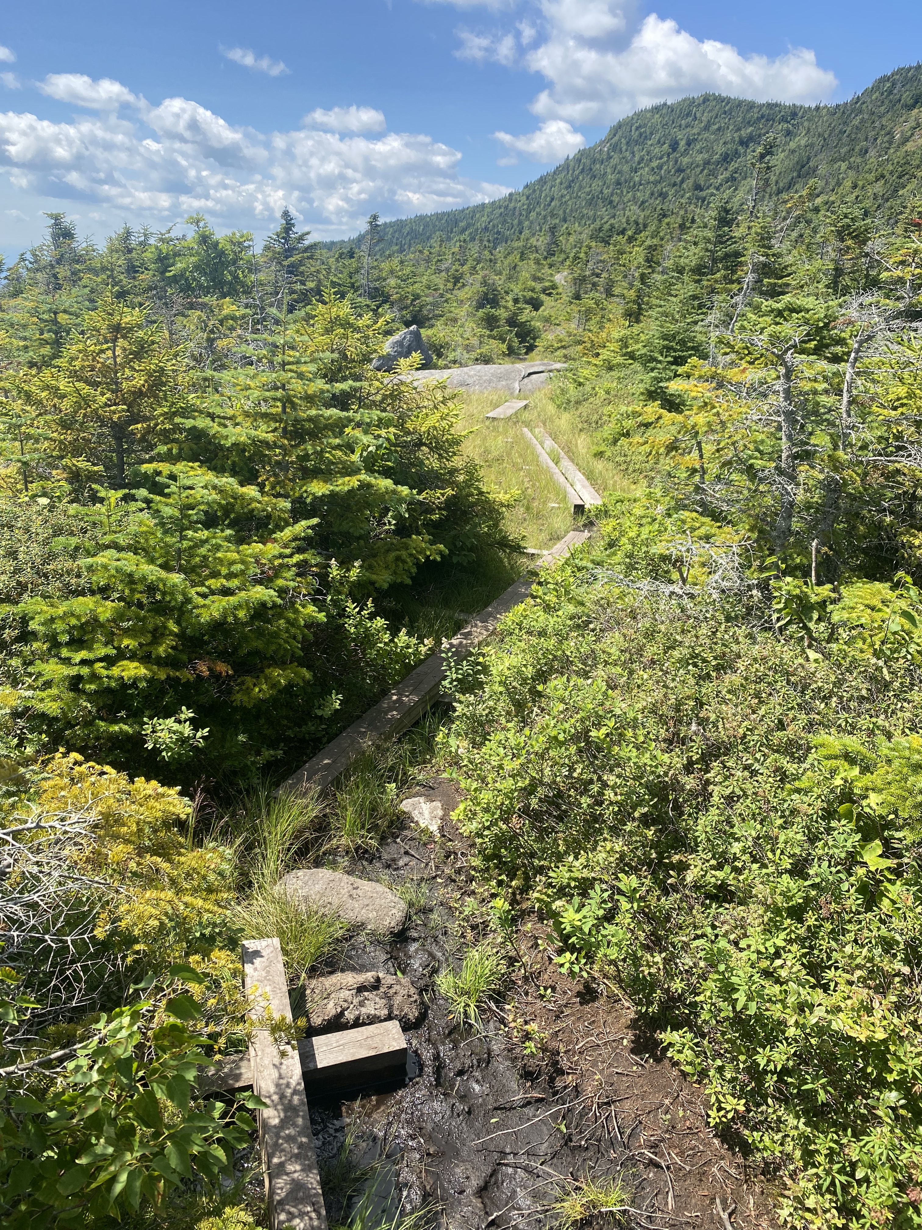
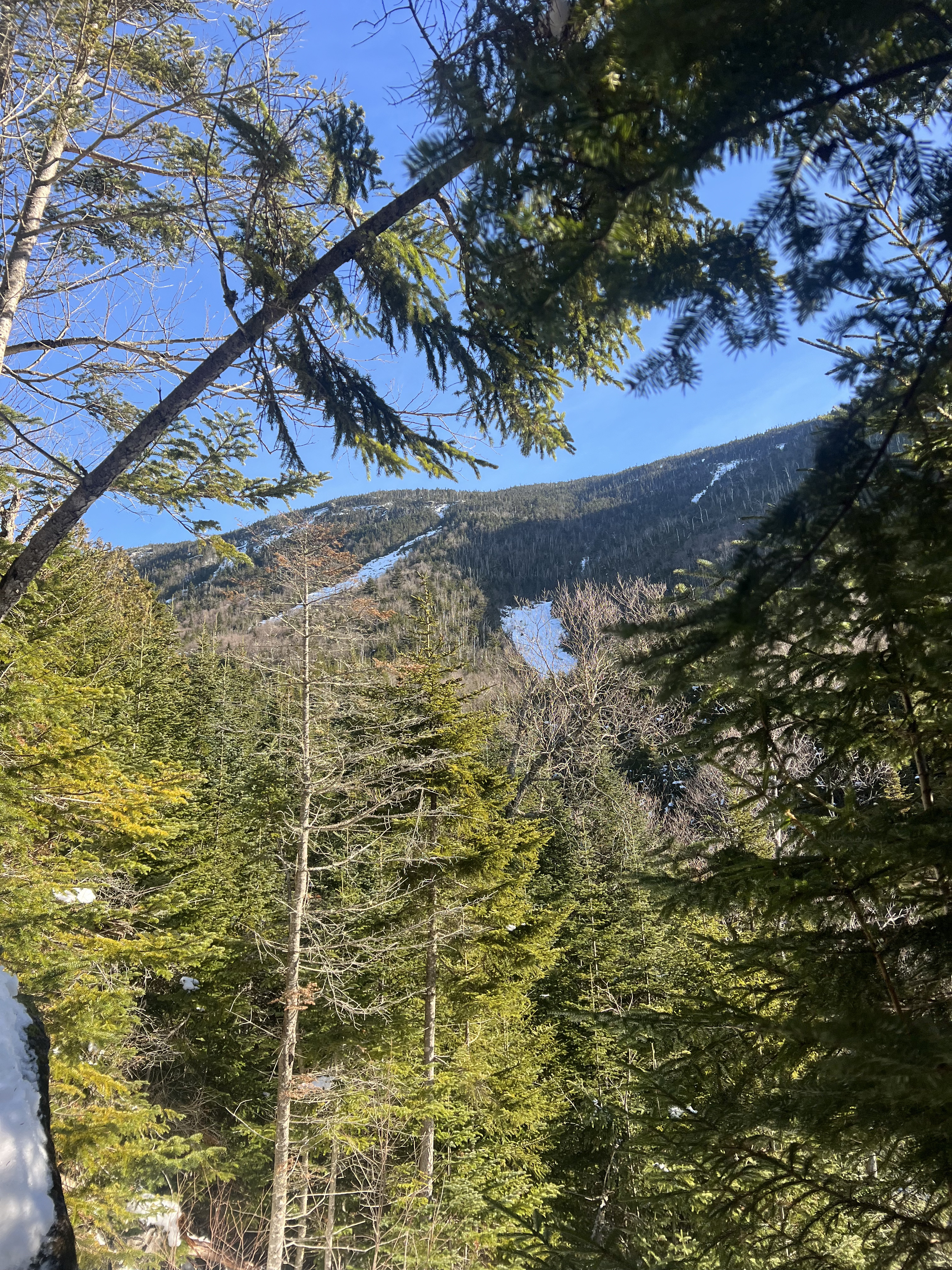
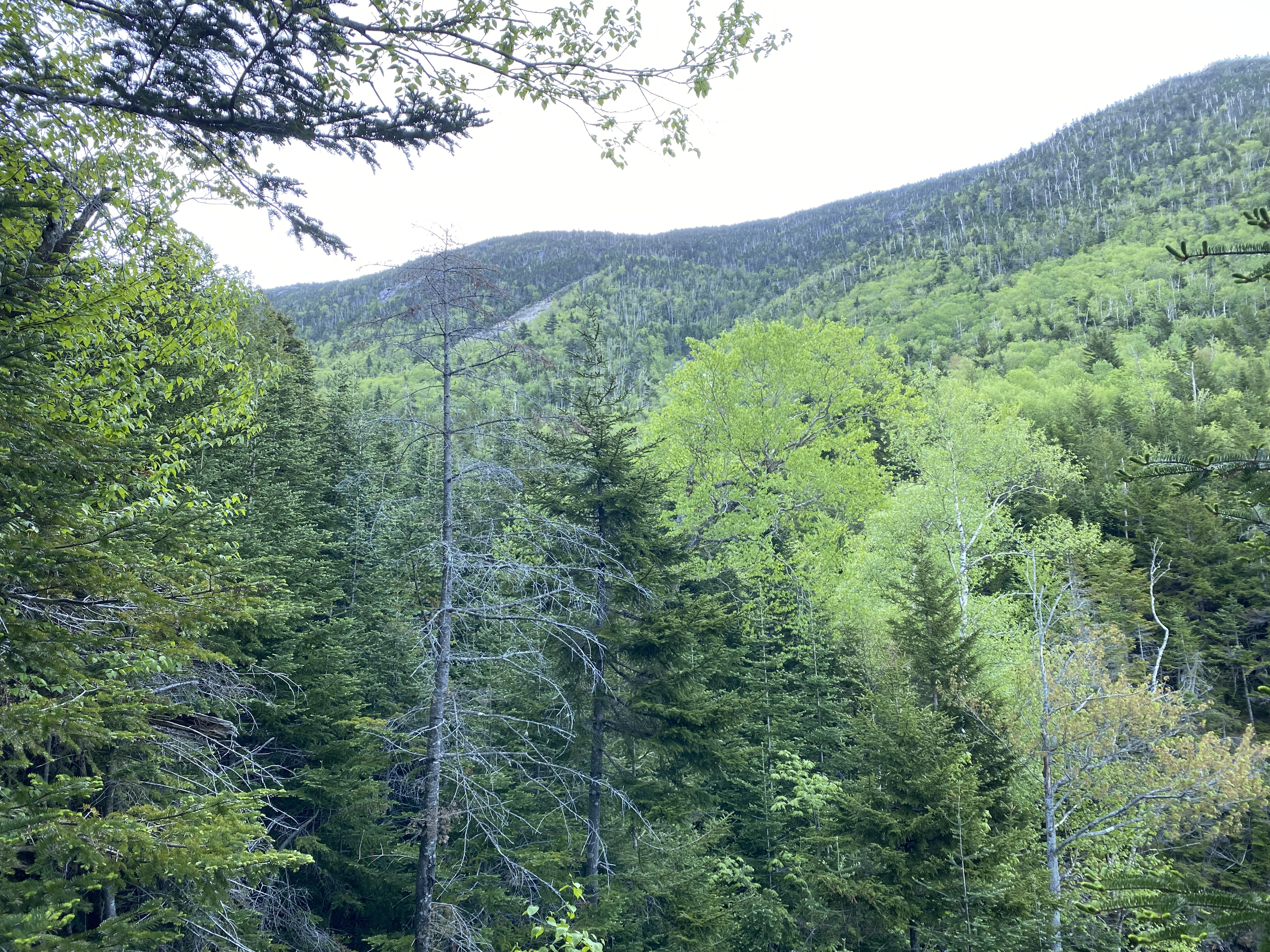
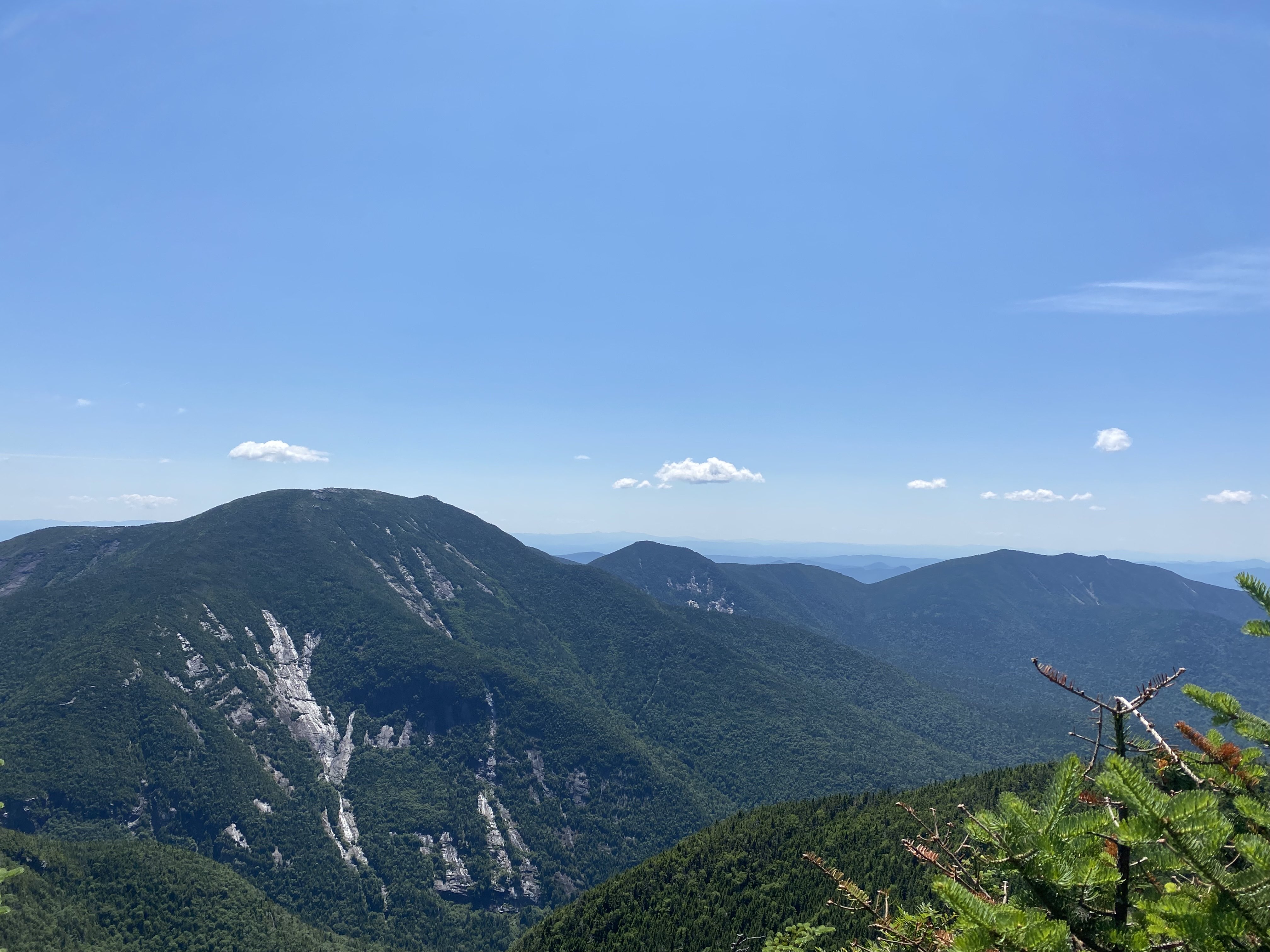
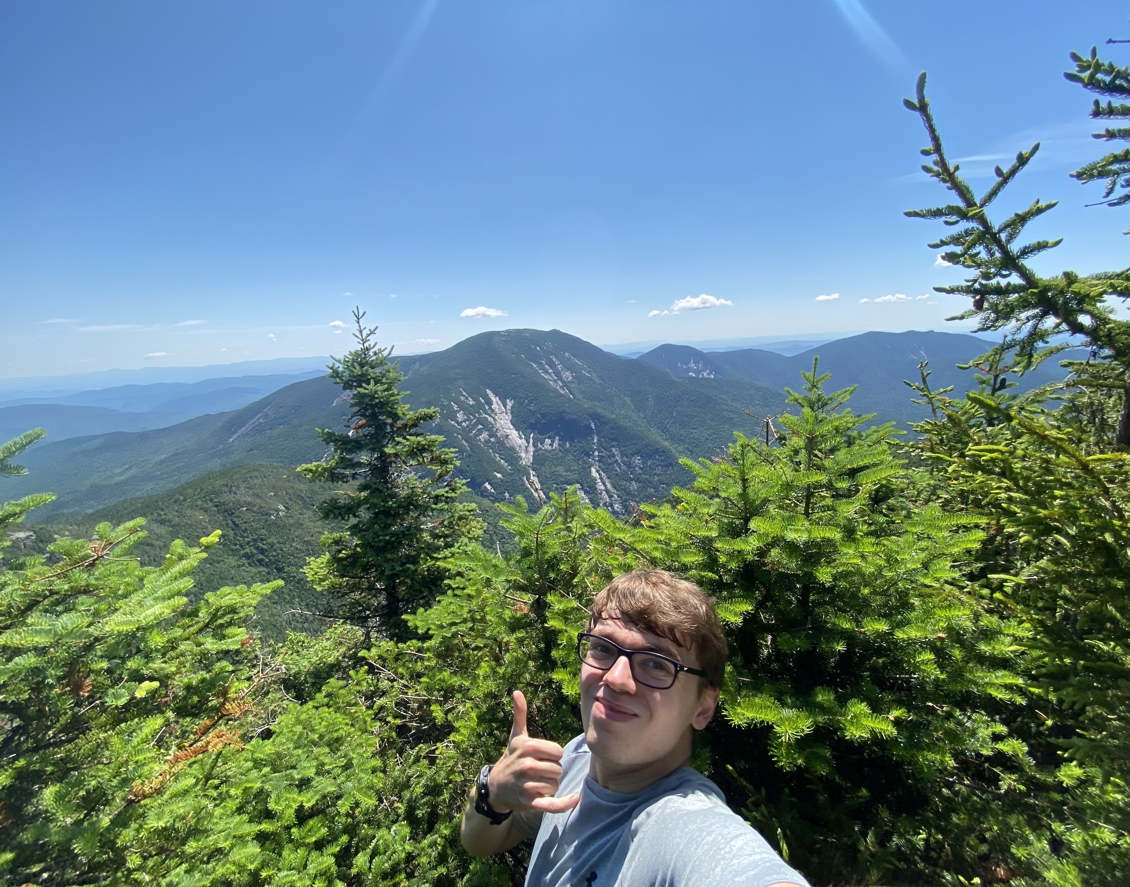
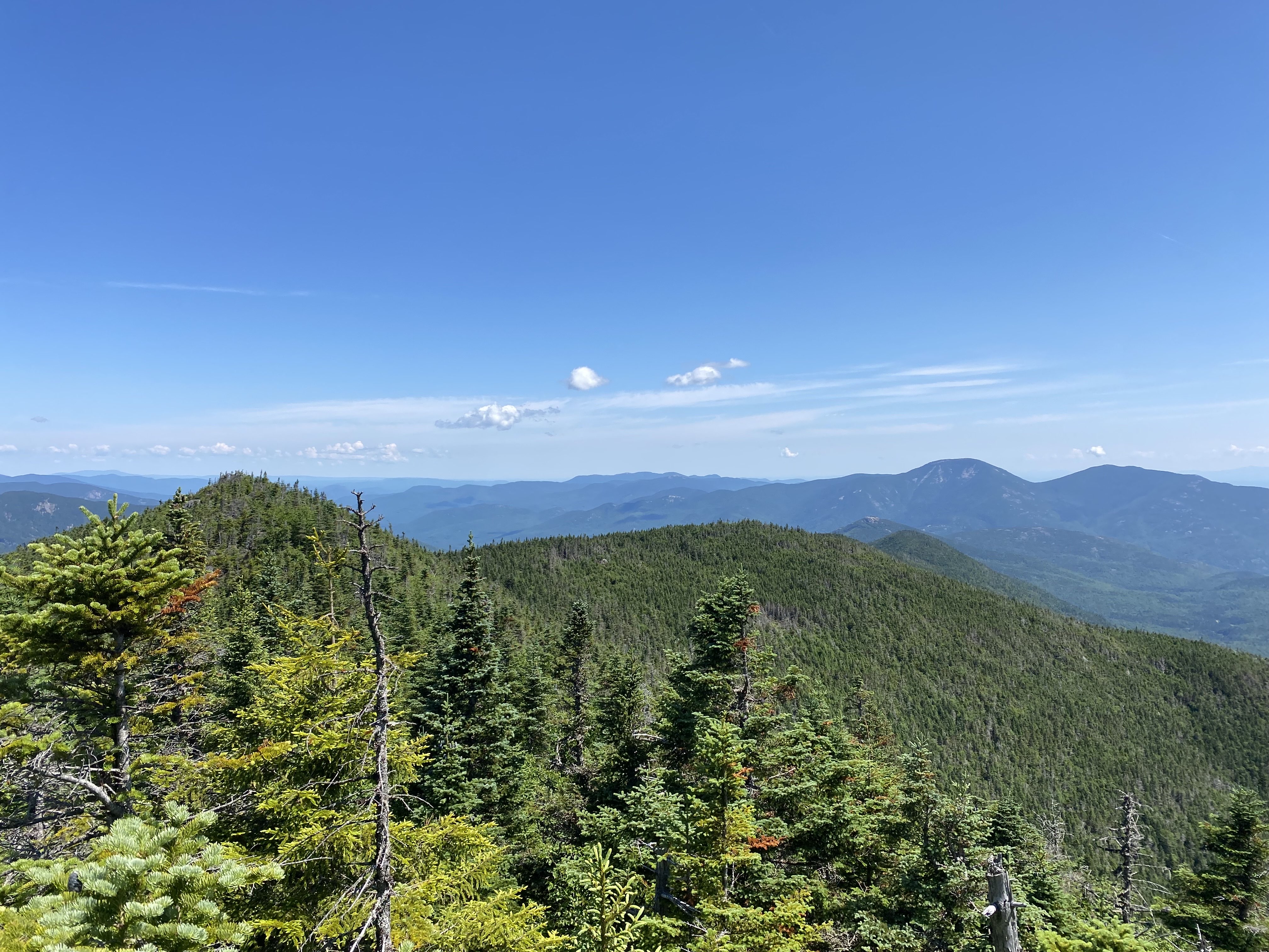
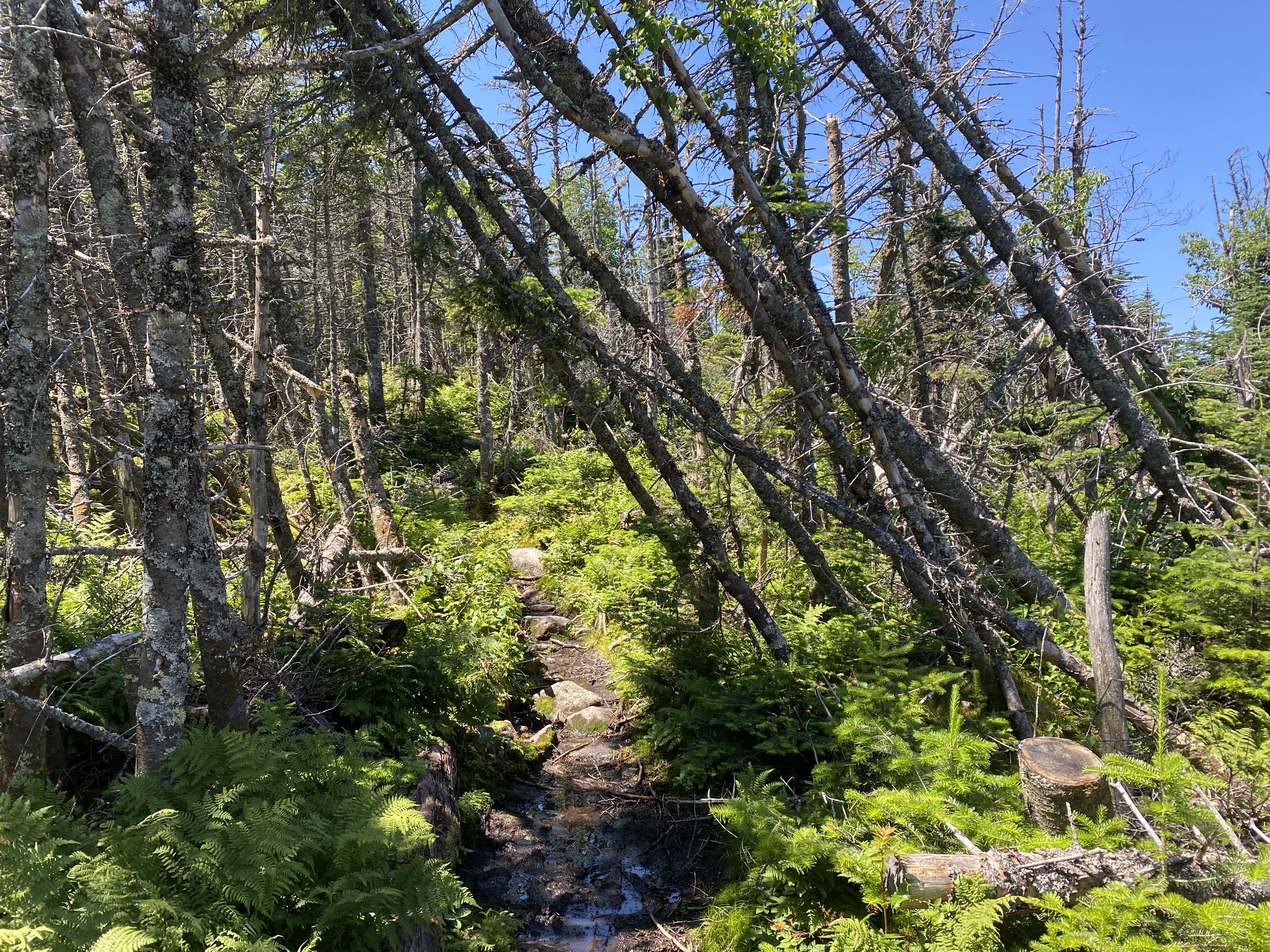
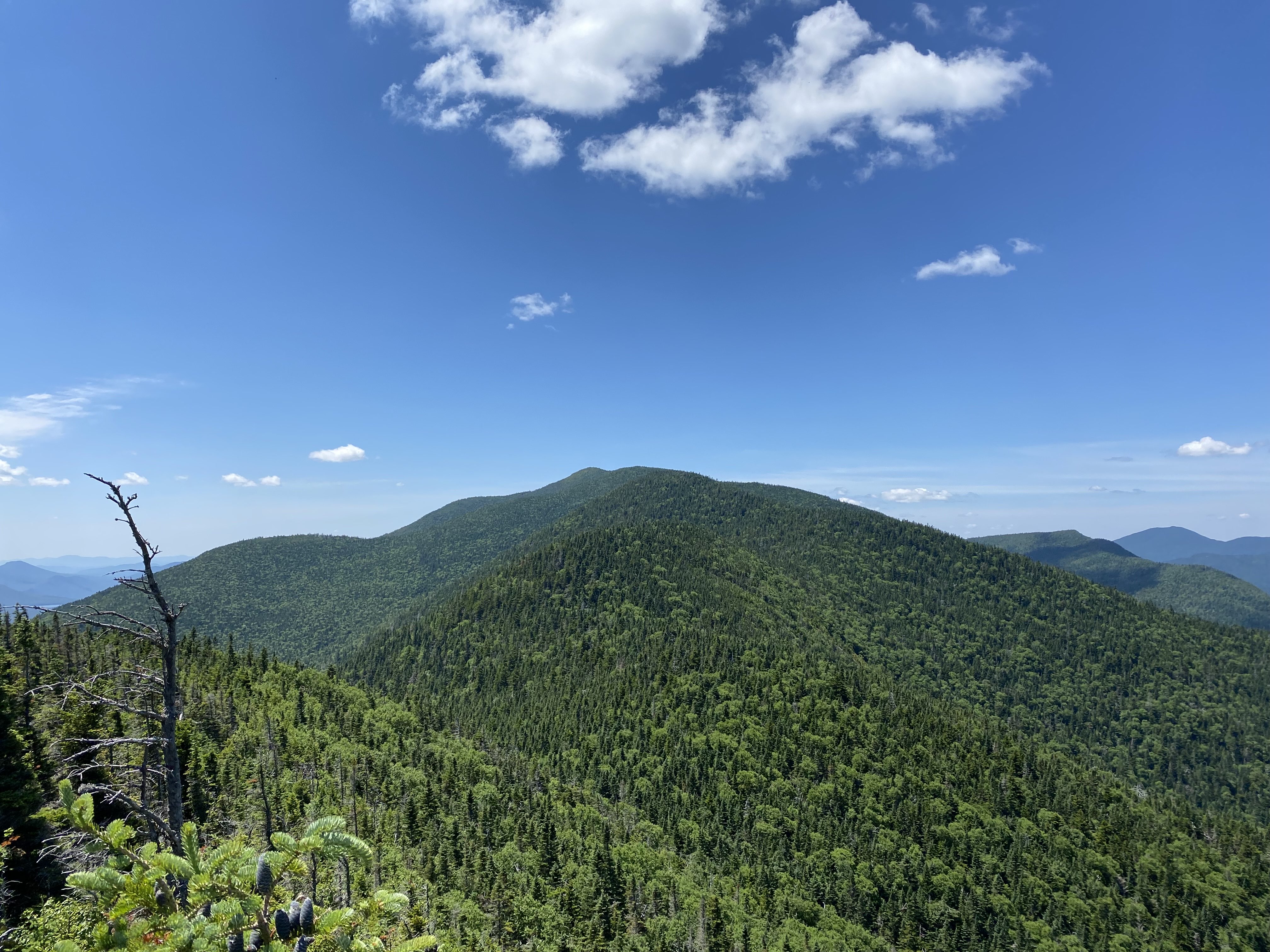
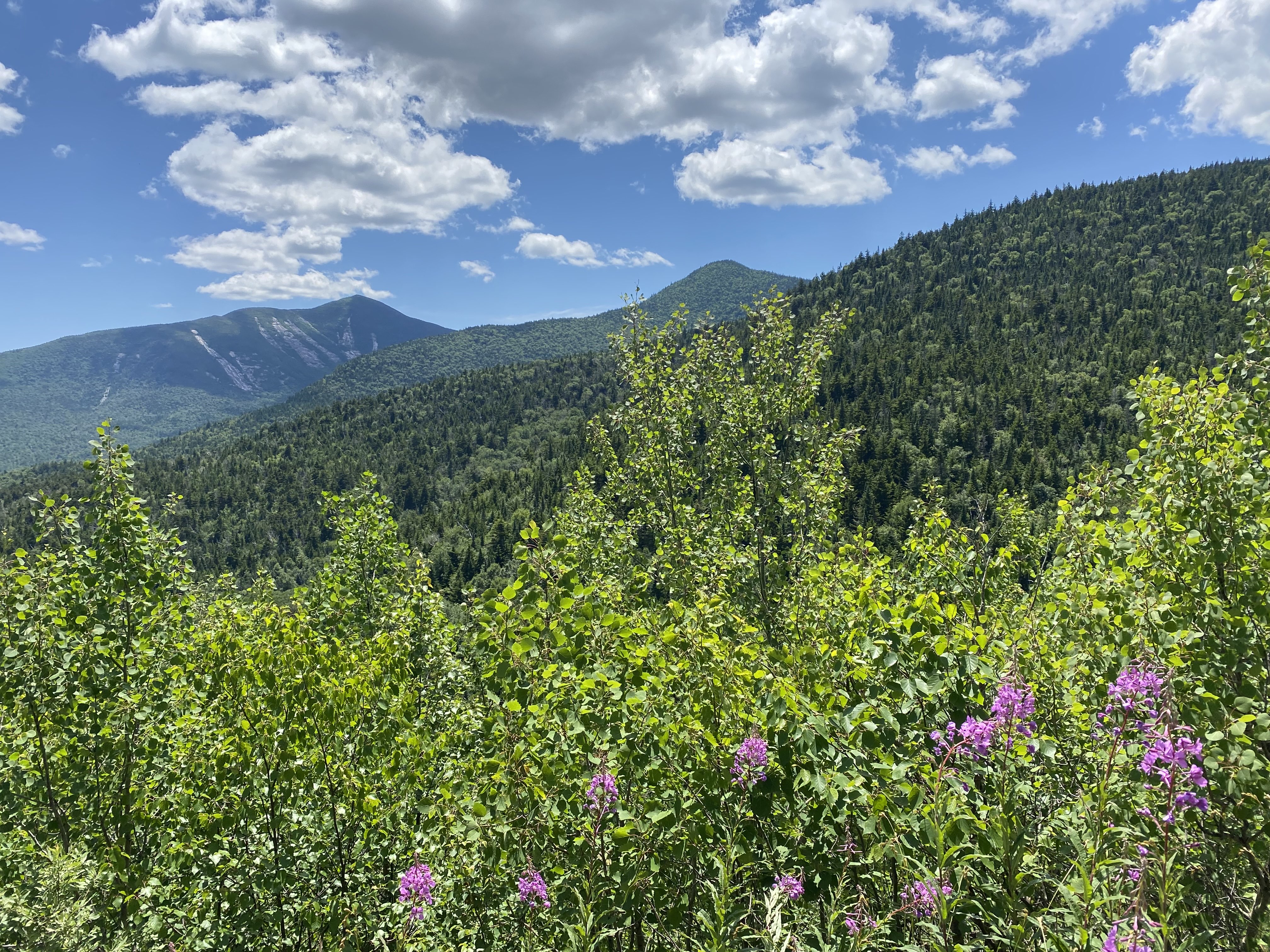
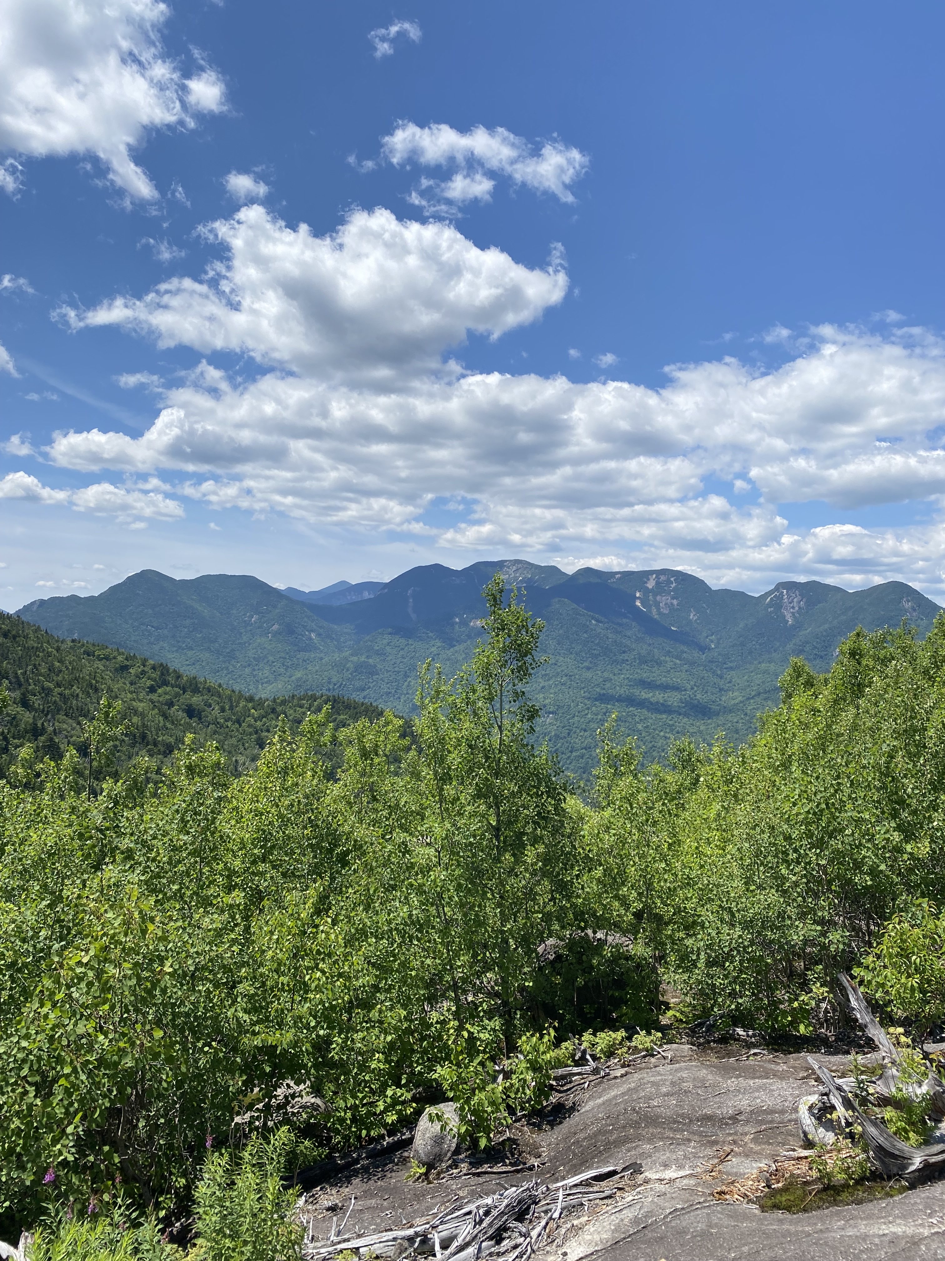
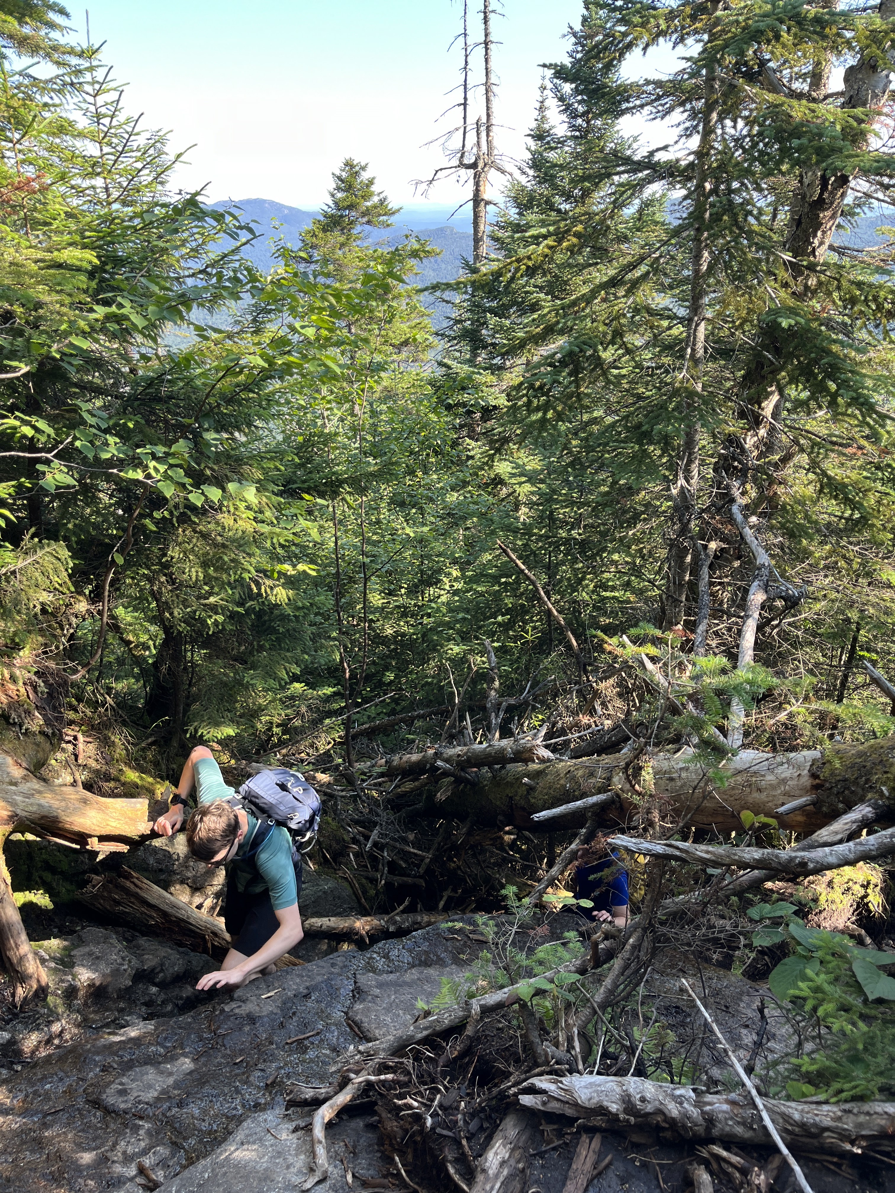
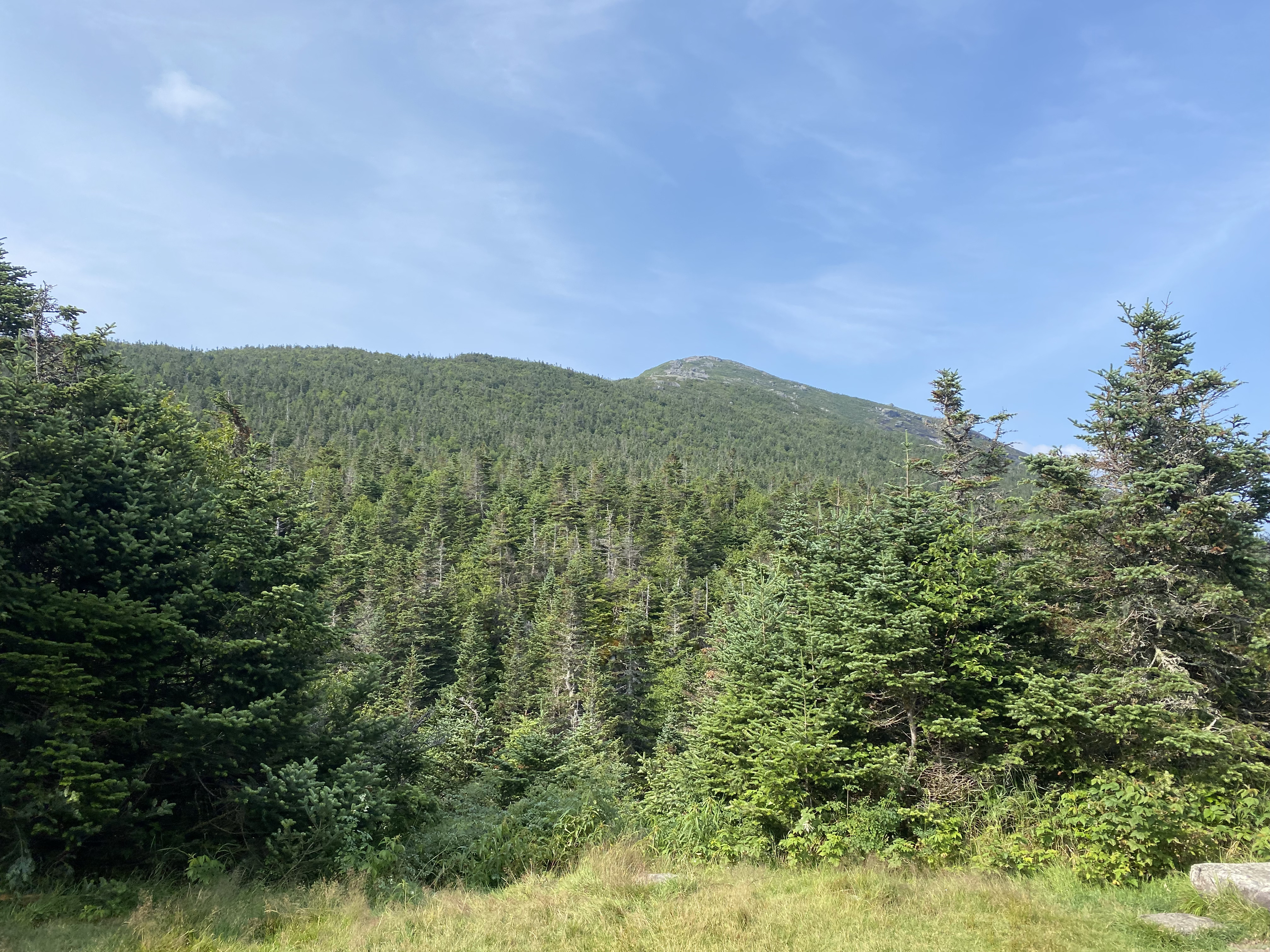
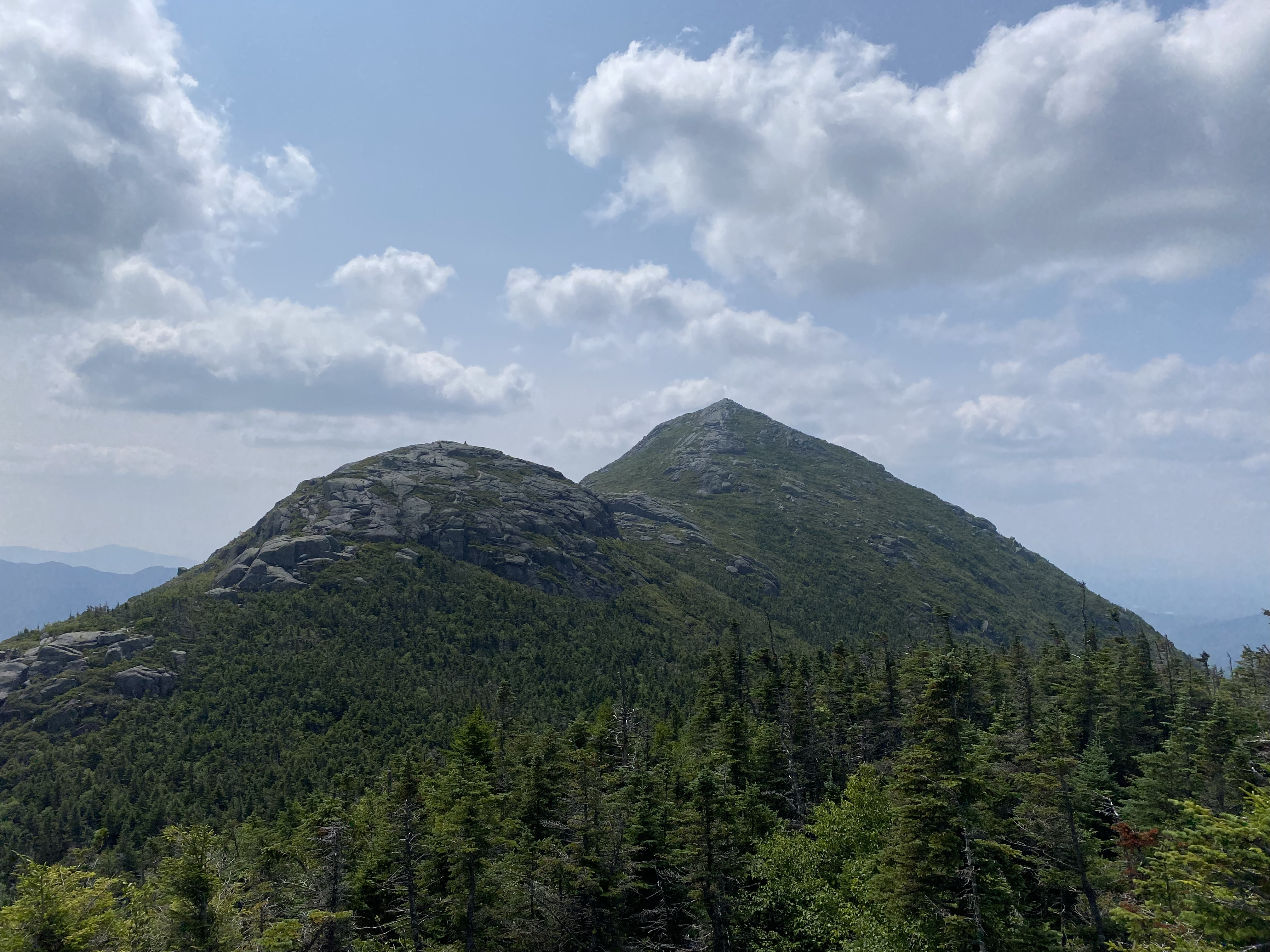
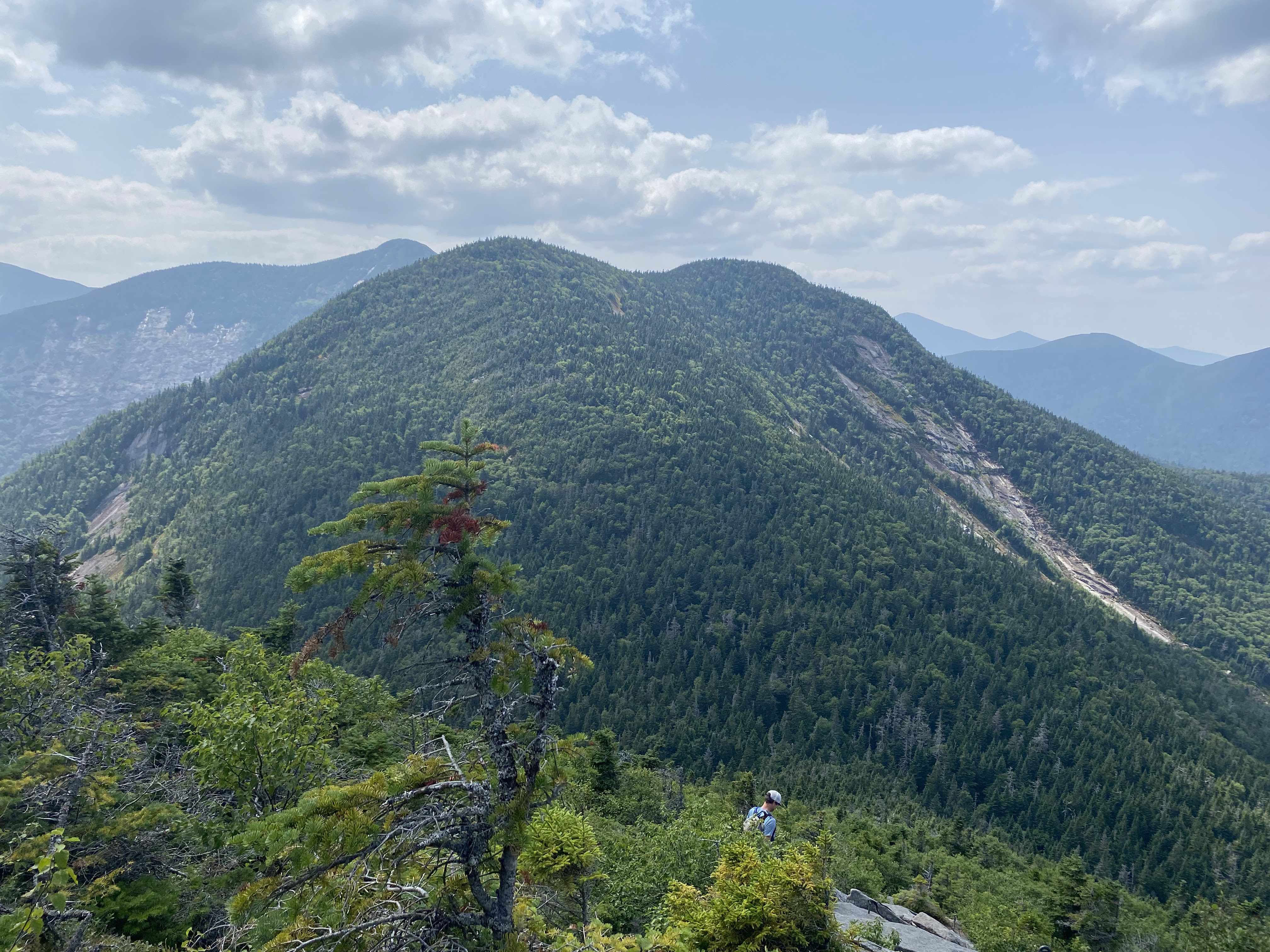
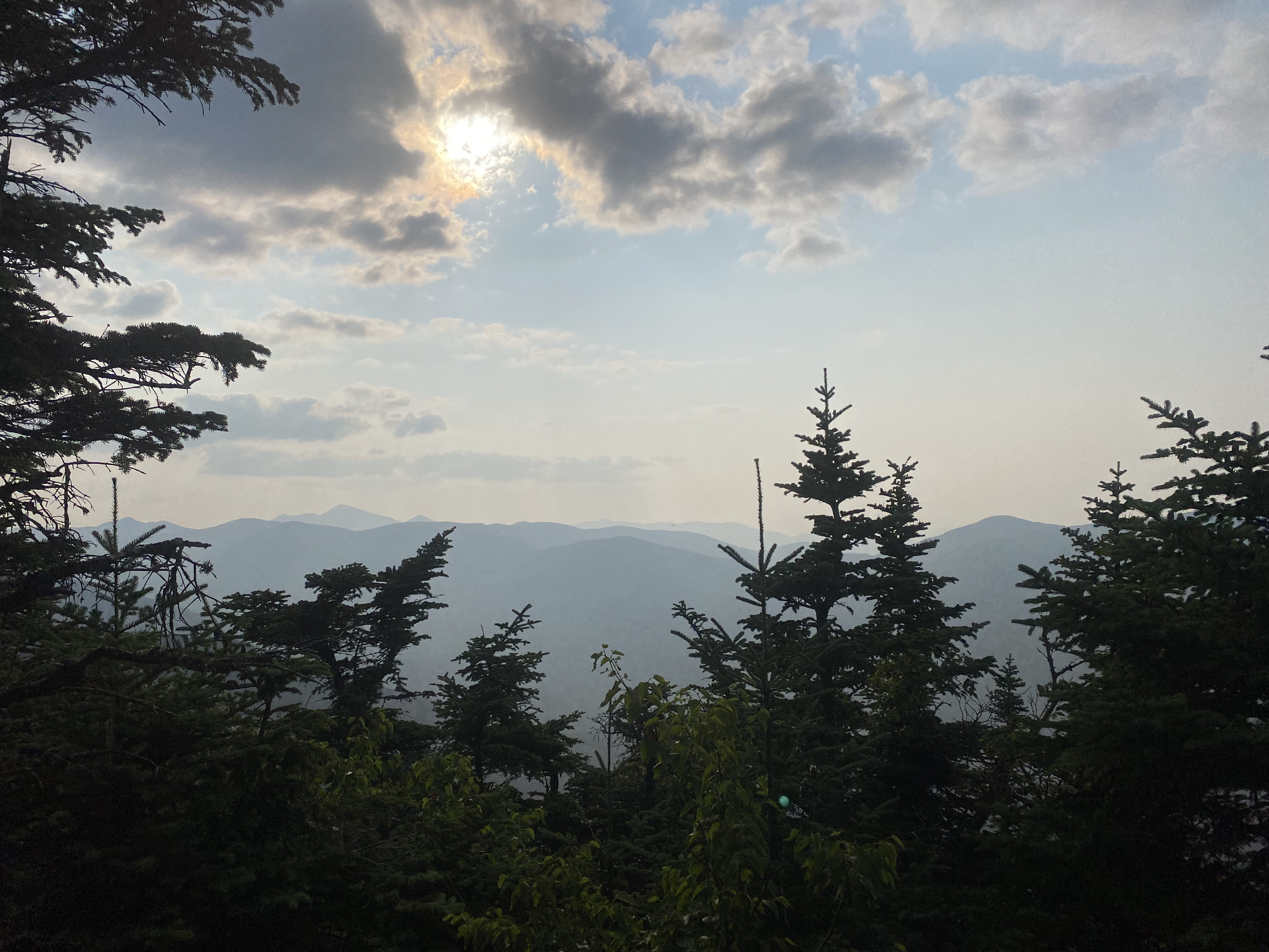
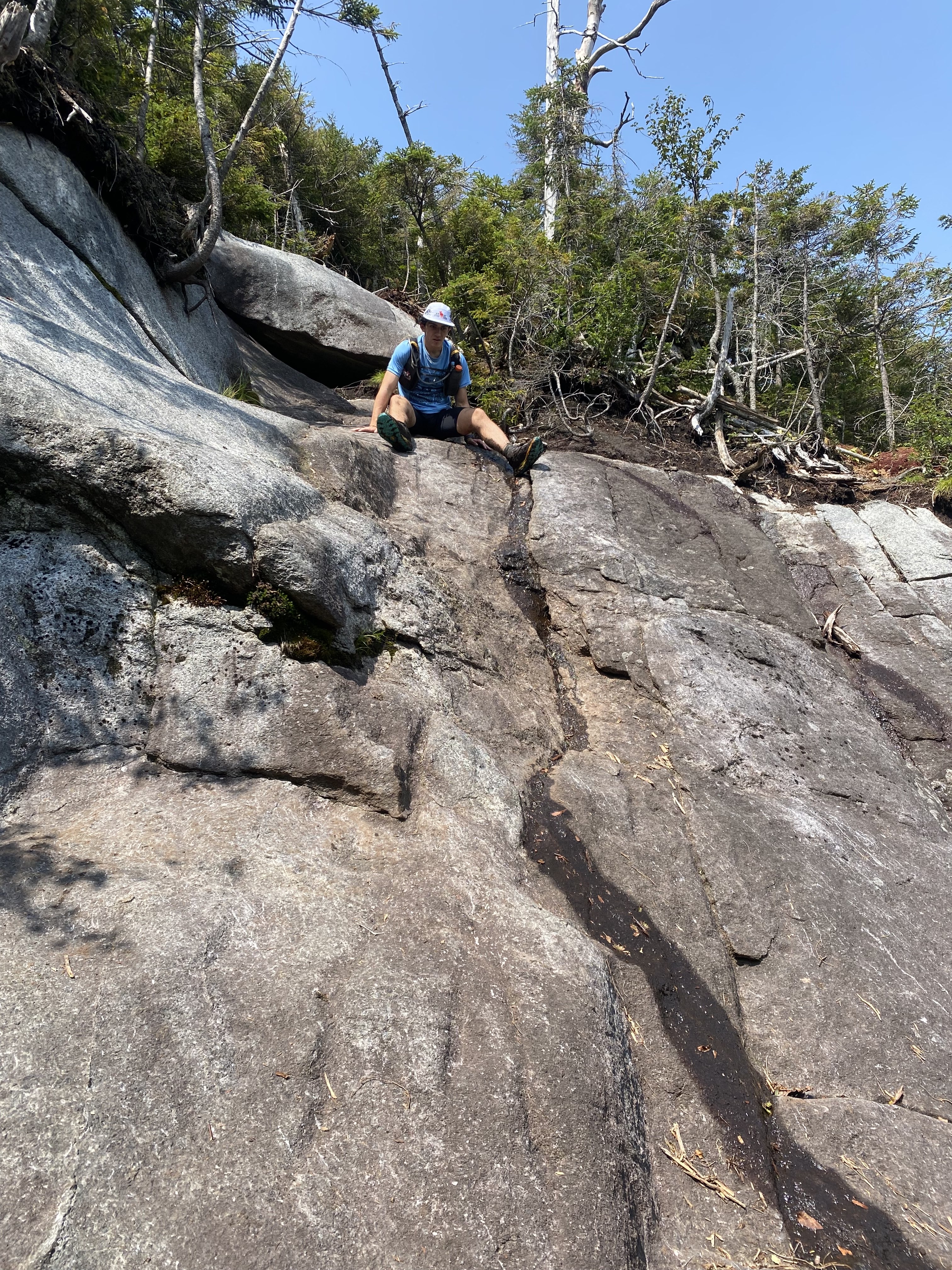
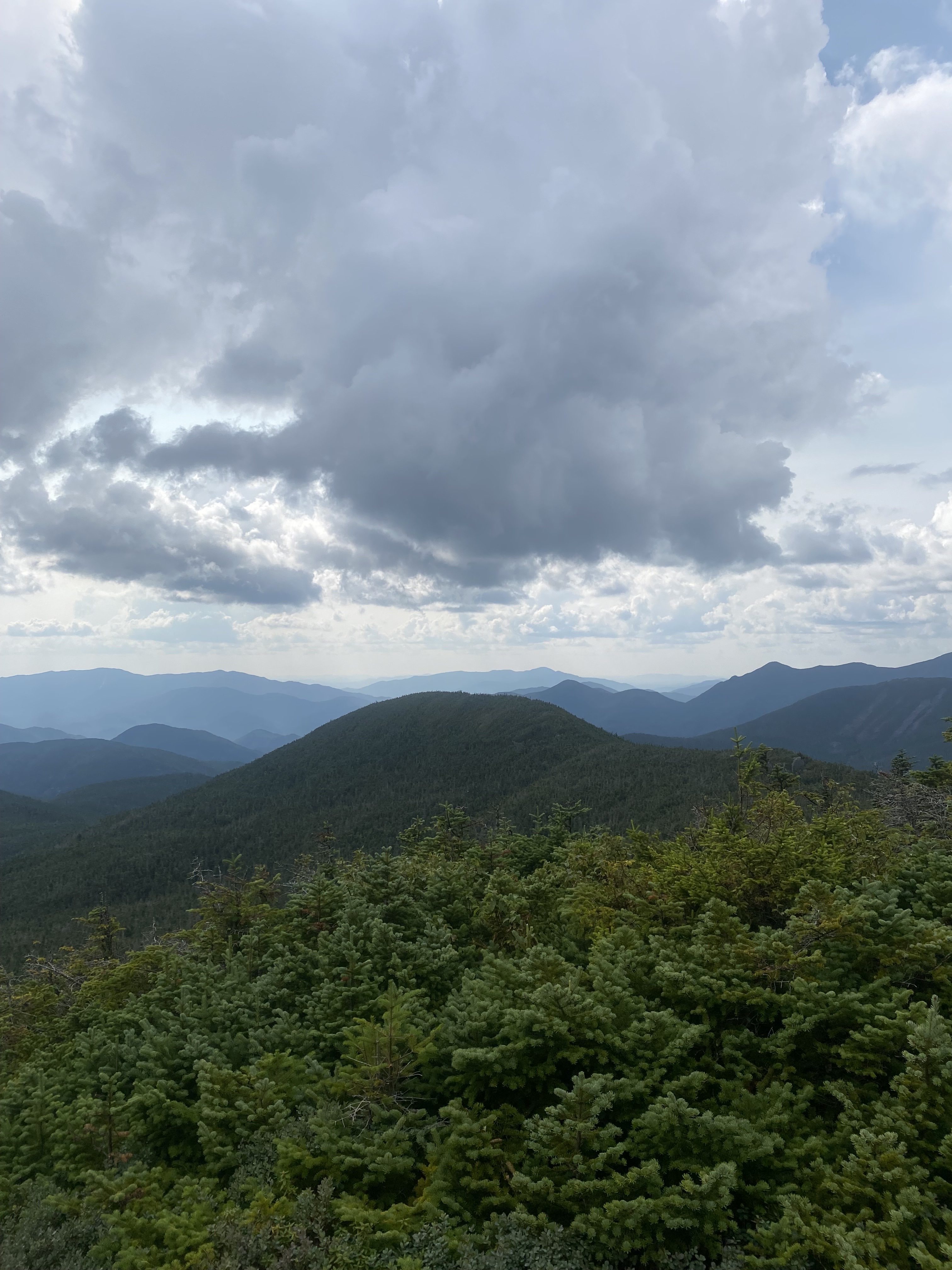
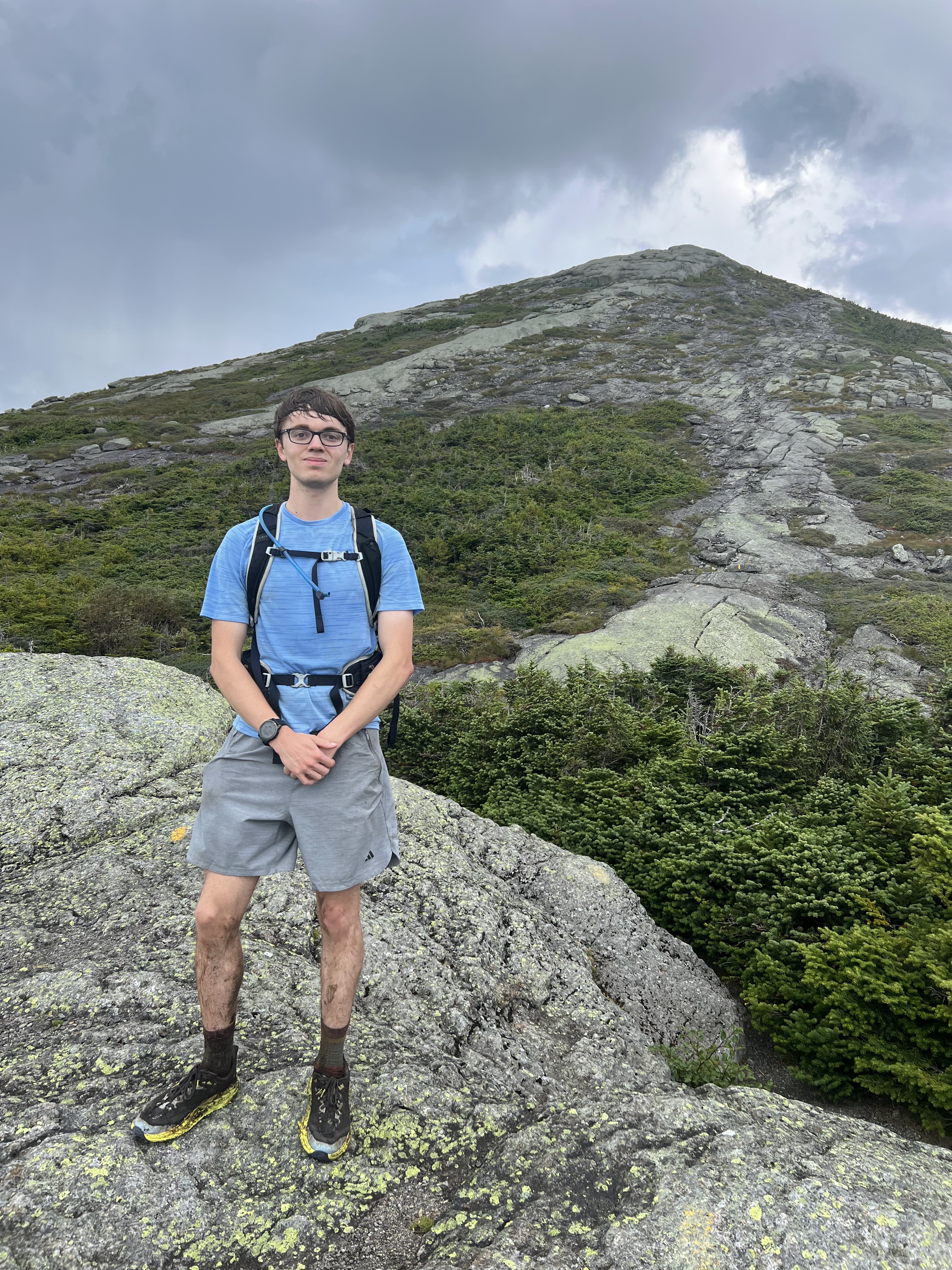
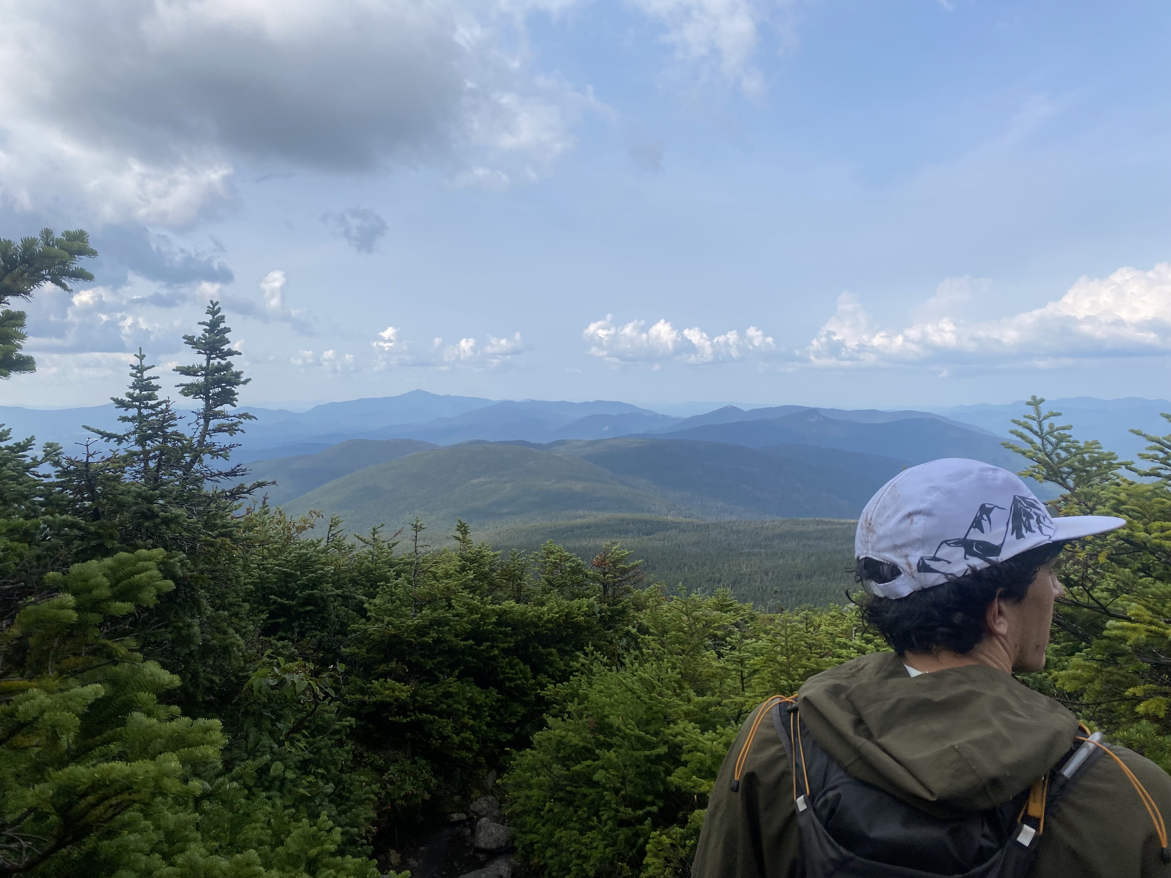
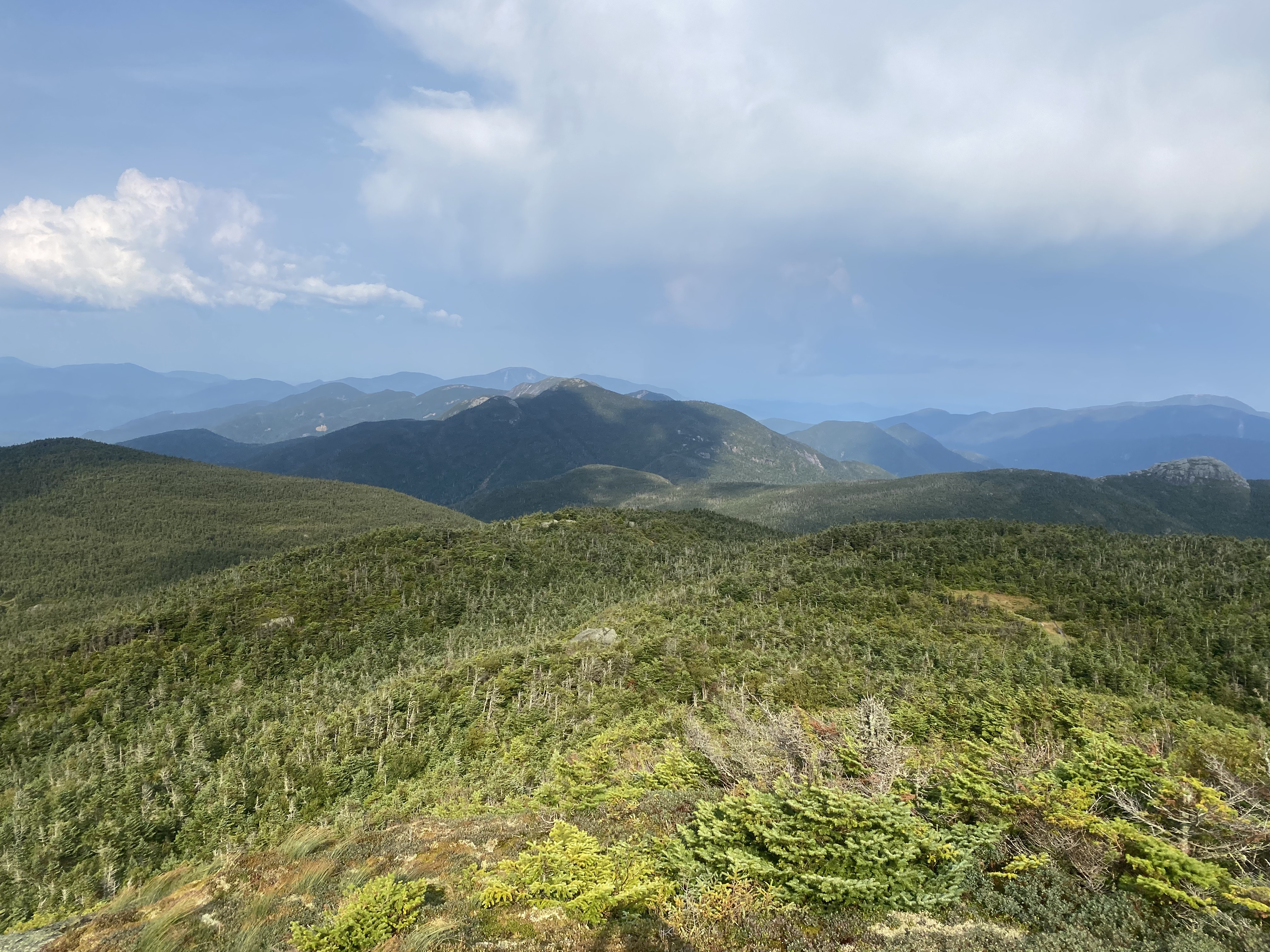
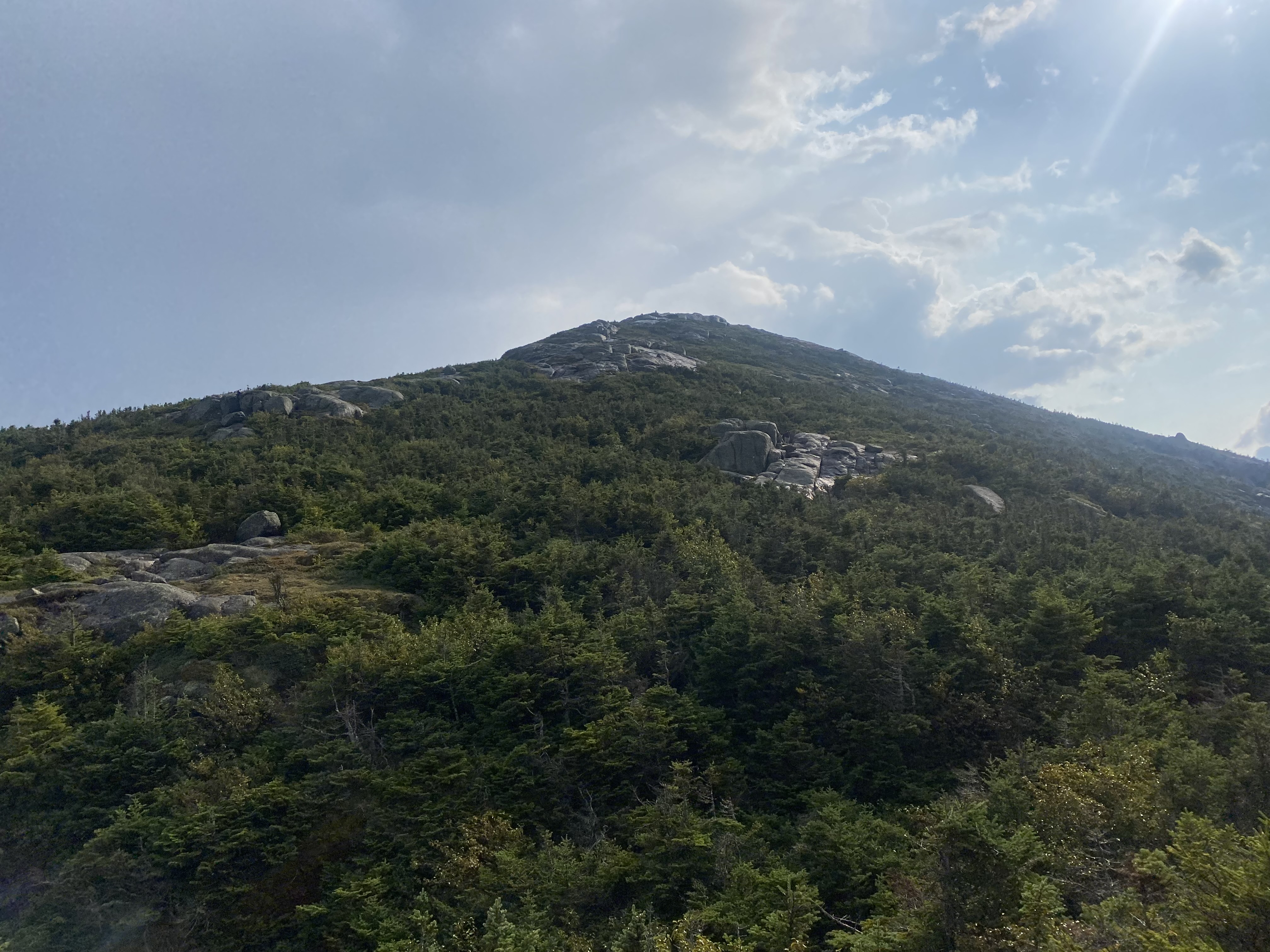
My first high peak and first outing club trip! Big Slide offers excellent views of the
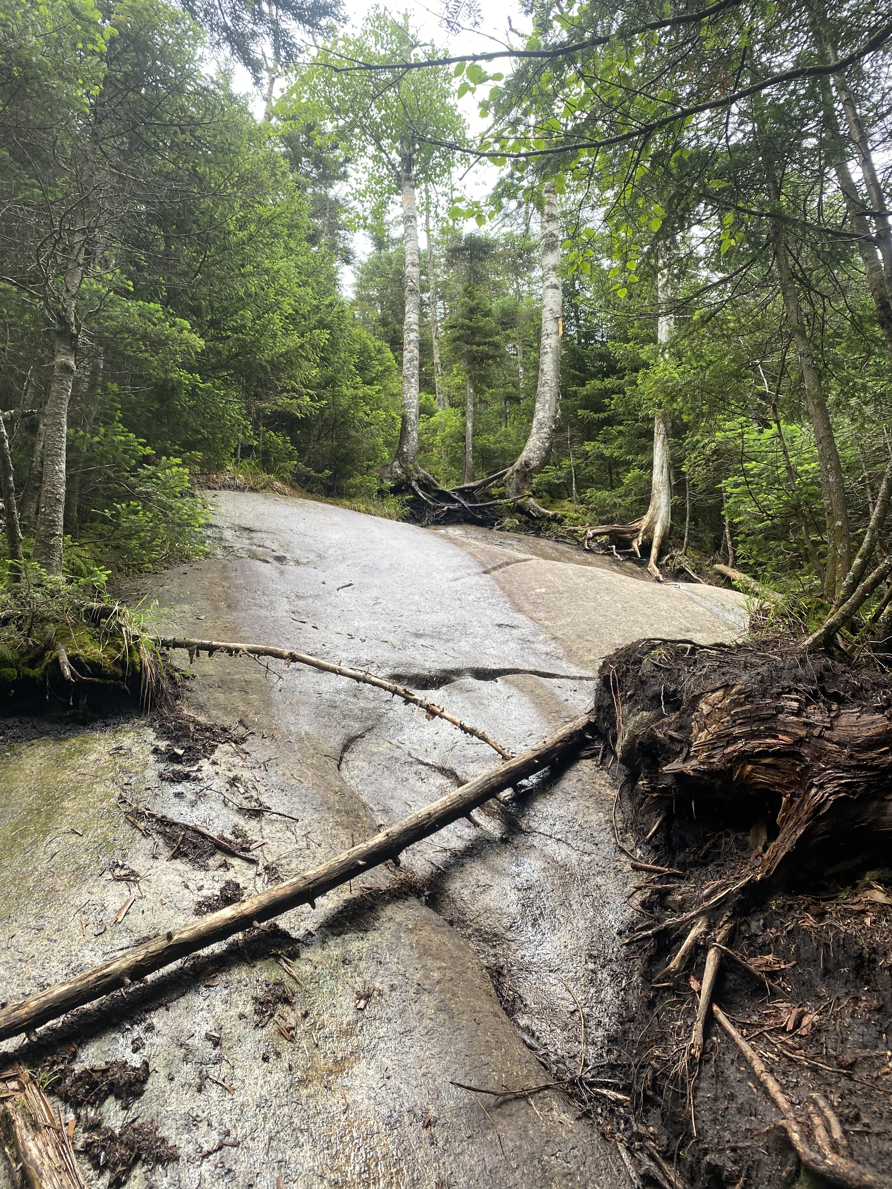
Great Range as you traverse over the Brothers. The trail was very dry and filled with
small rock scrambles, the first I had seen which required the use of hands. Being in a
larger group we had taken a slower pace to the summit, meaning we hiked out at a faster
pace to make up time. I think this hike is an excellent one to start the high peaks with!
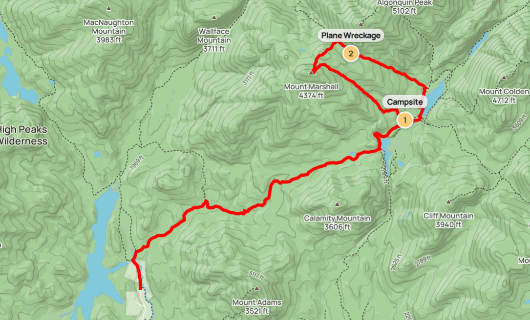
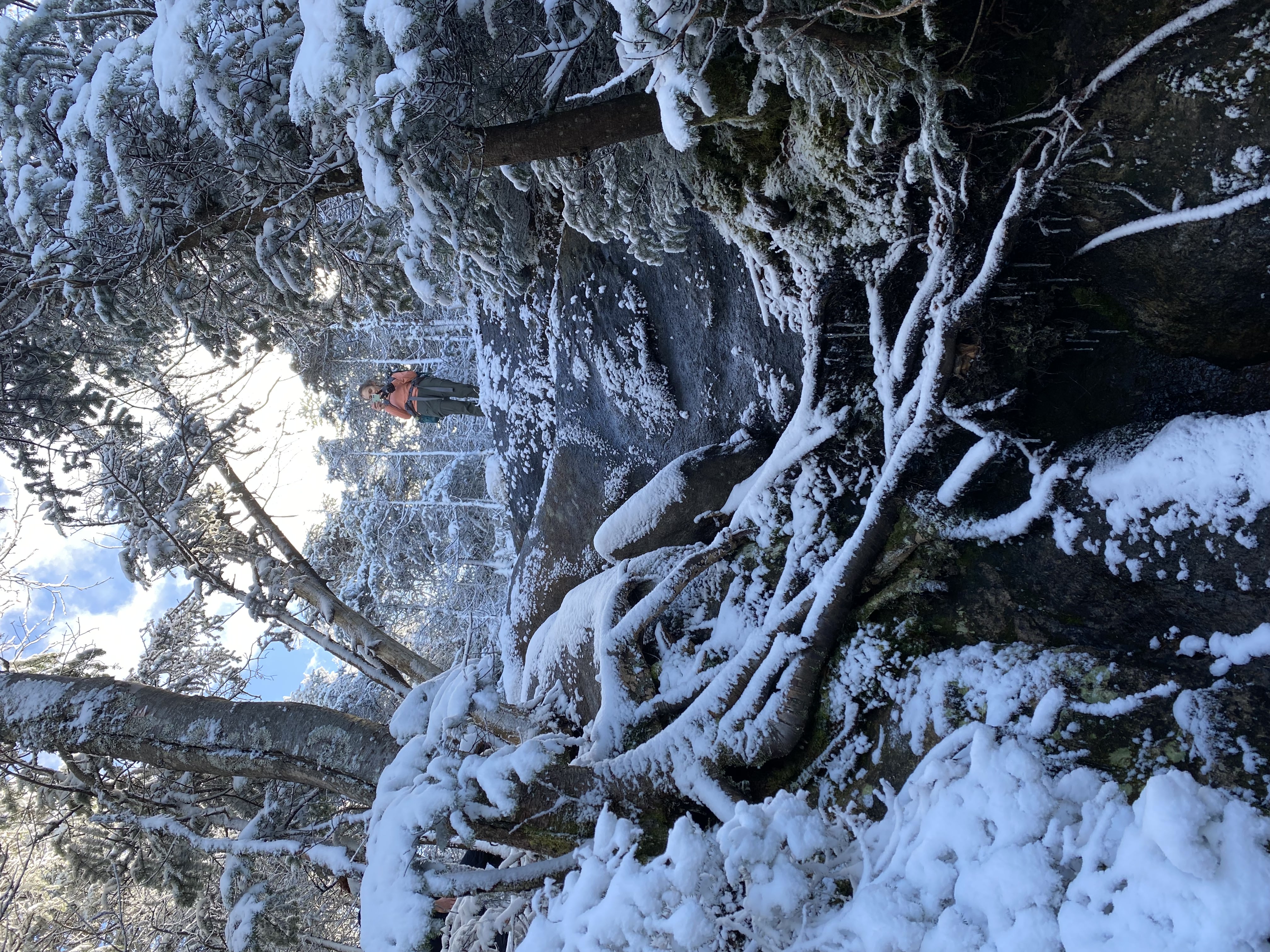
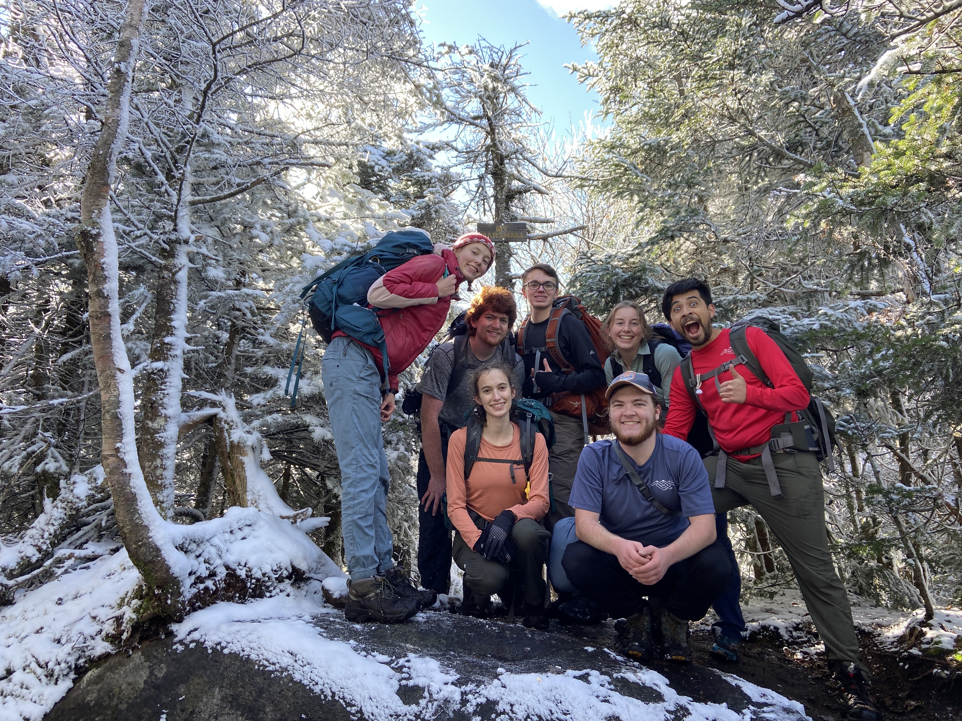
#2 - Marshall
10/8/22 thru 10/9/22
14.8 miles
2890 ft gain
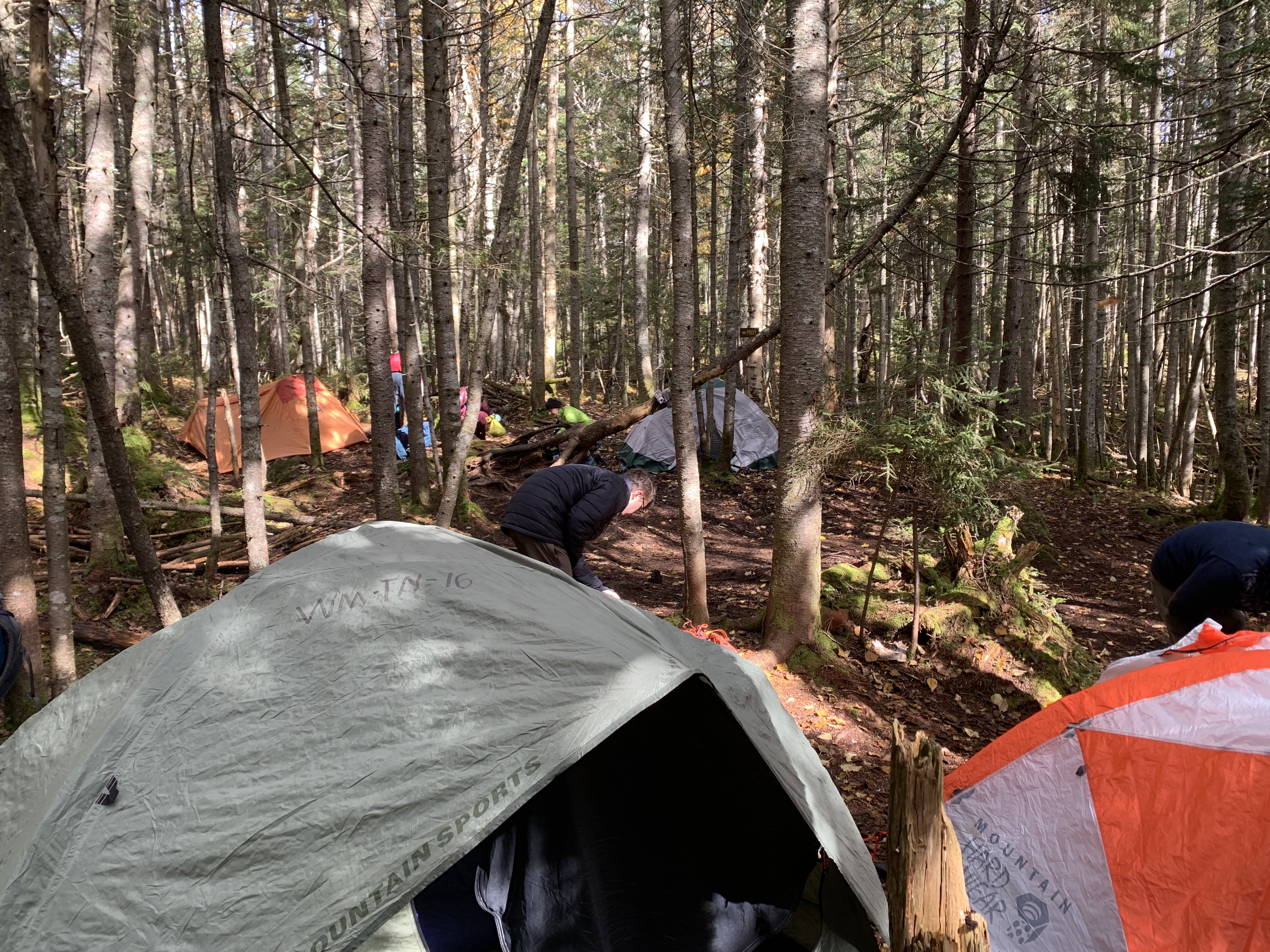
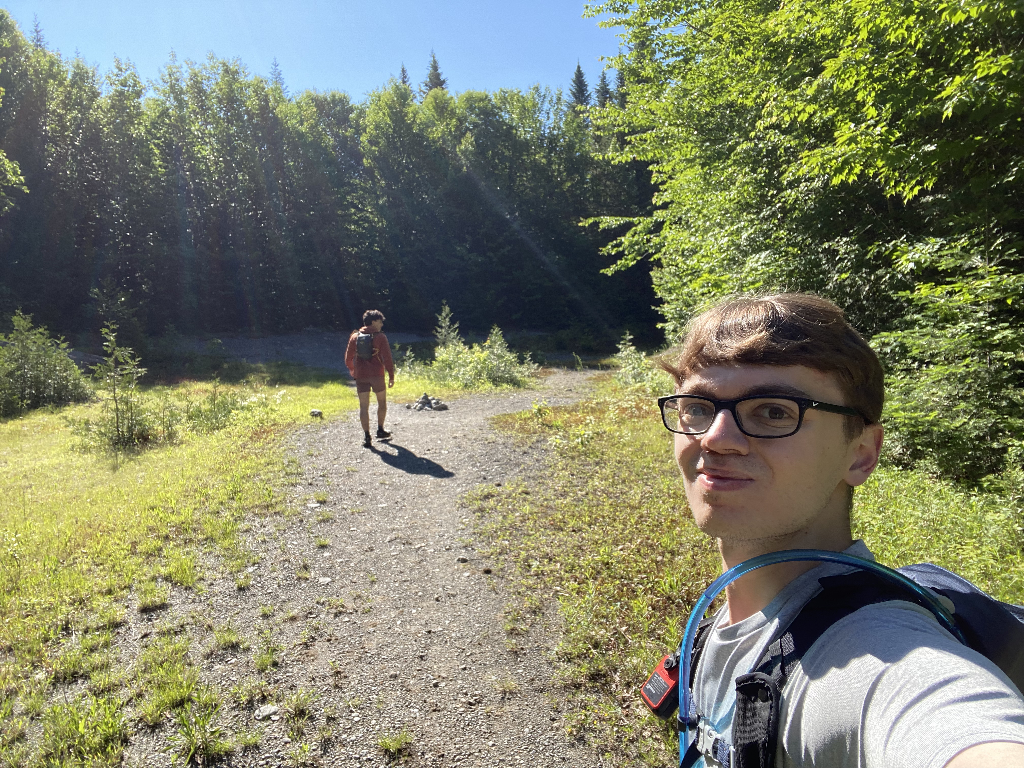
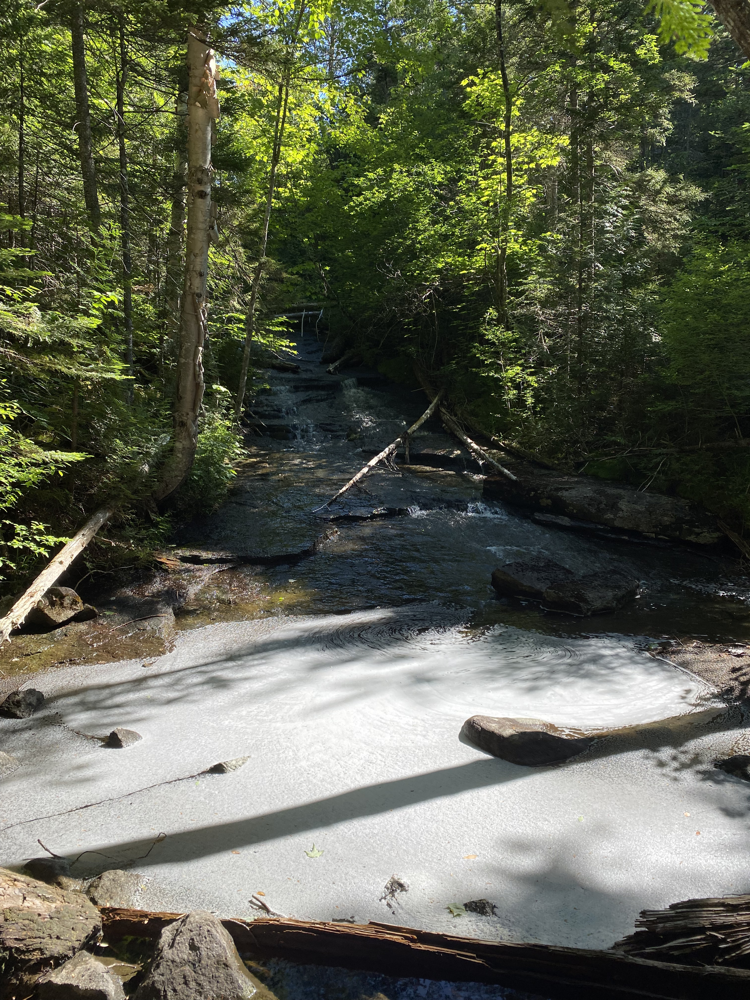
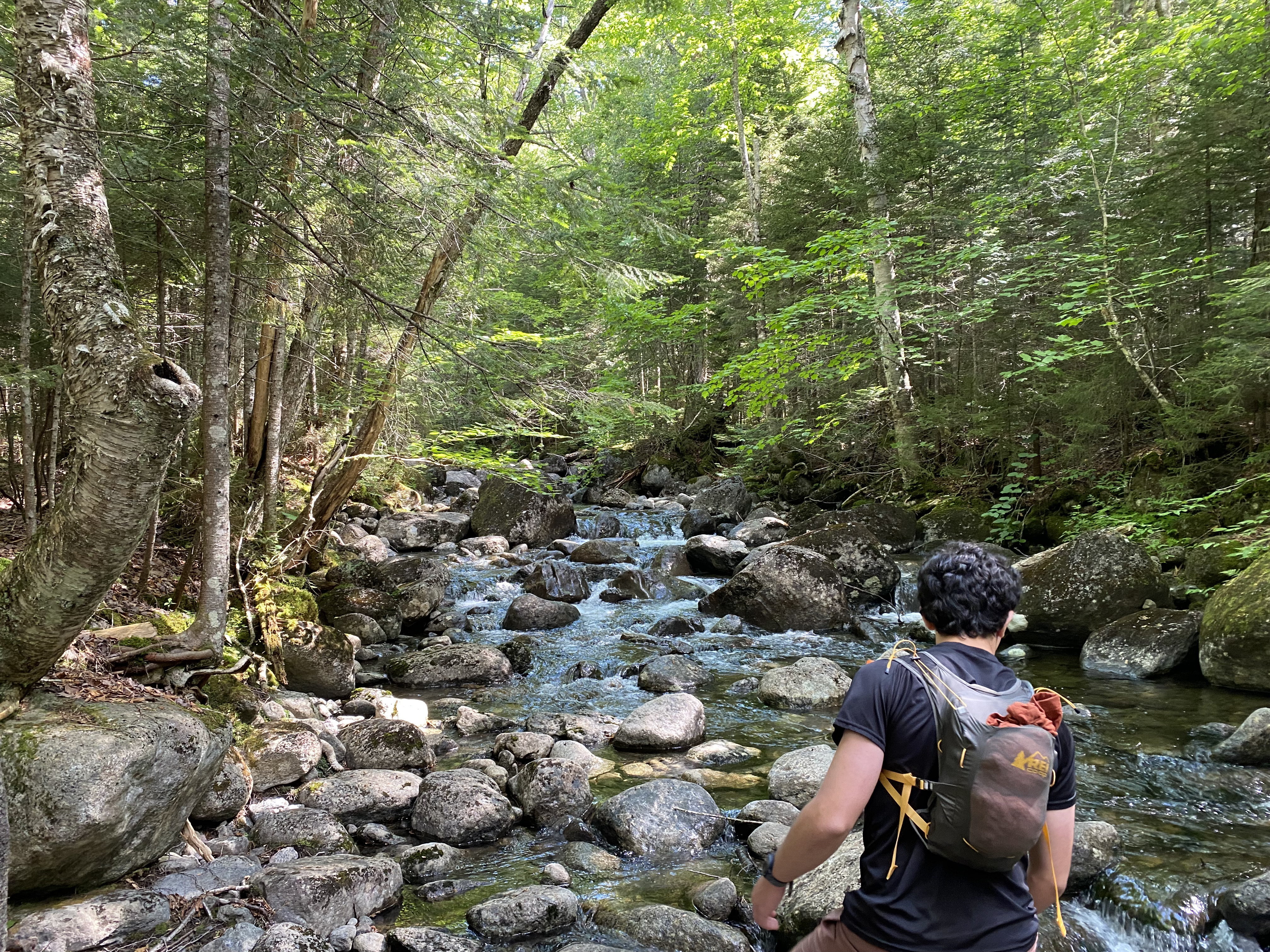
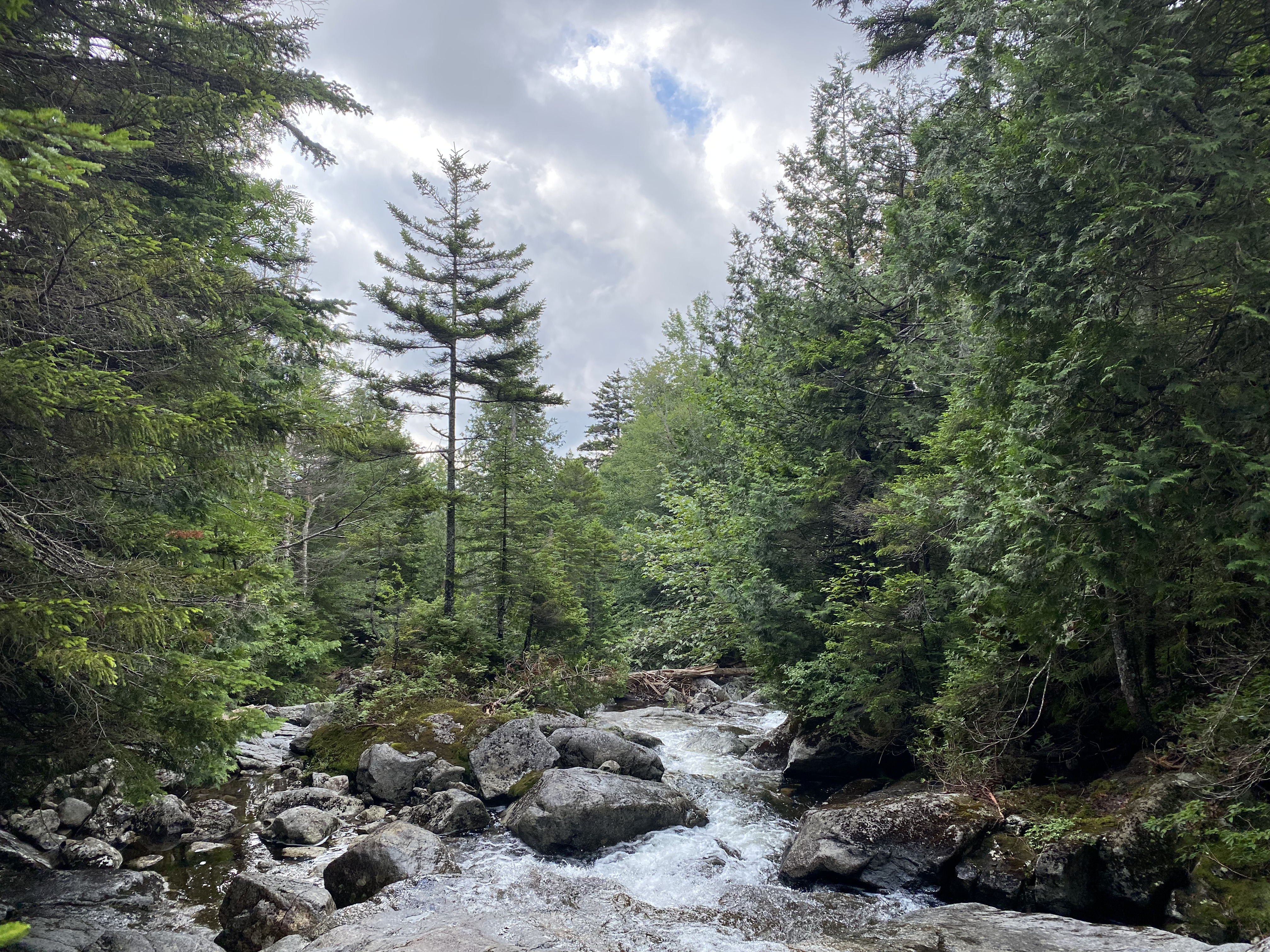
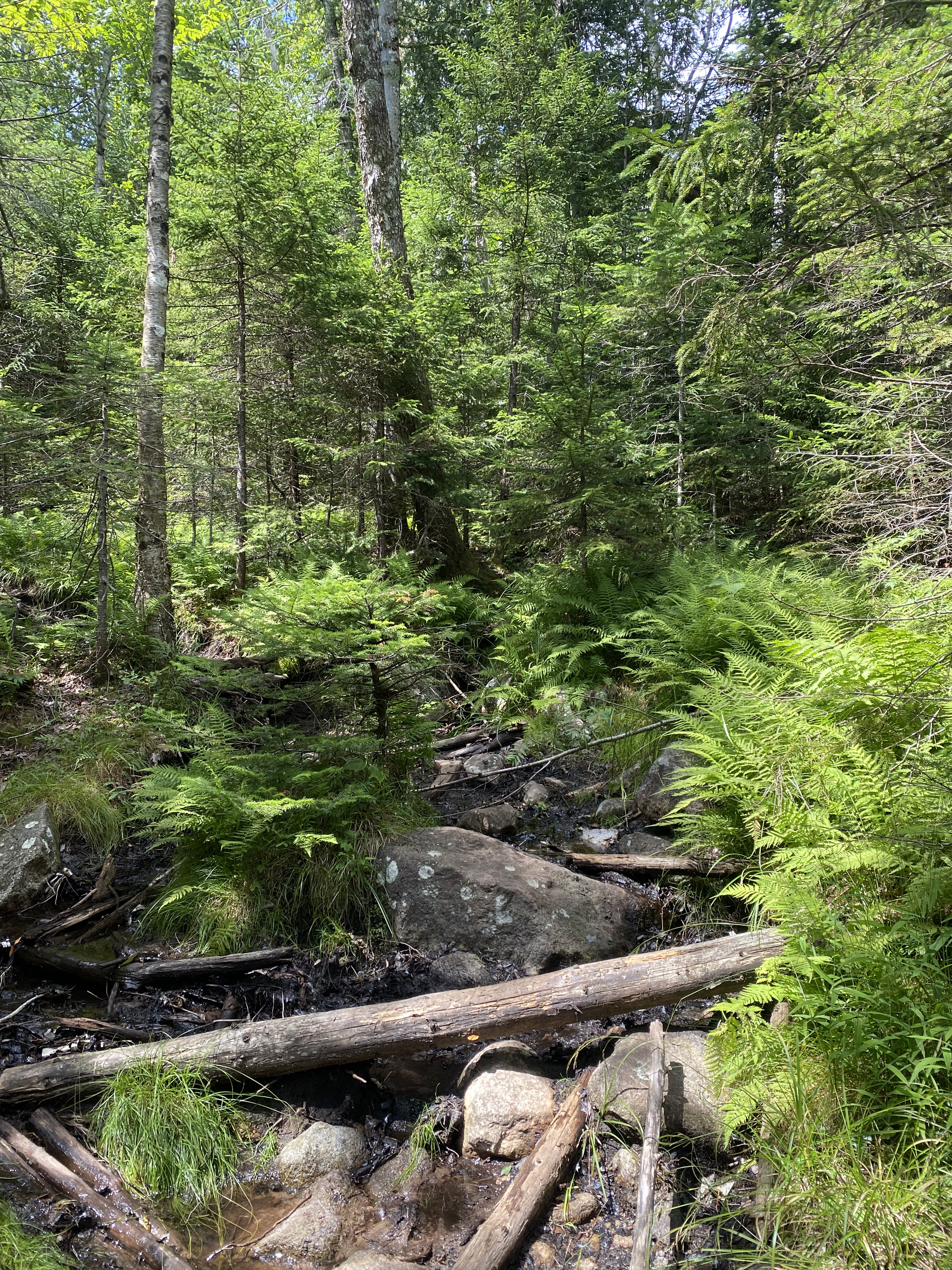
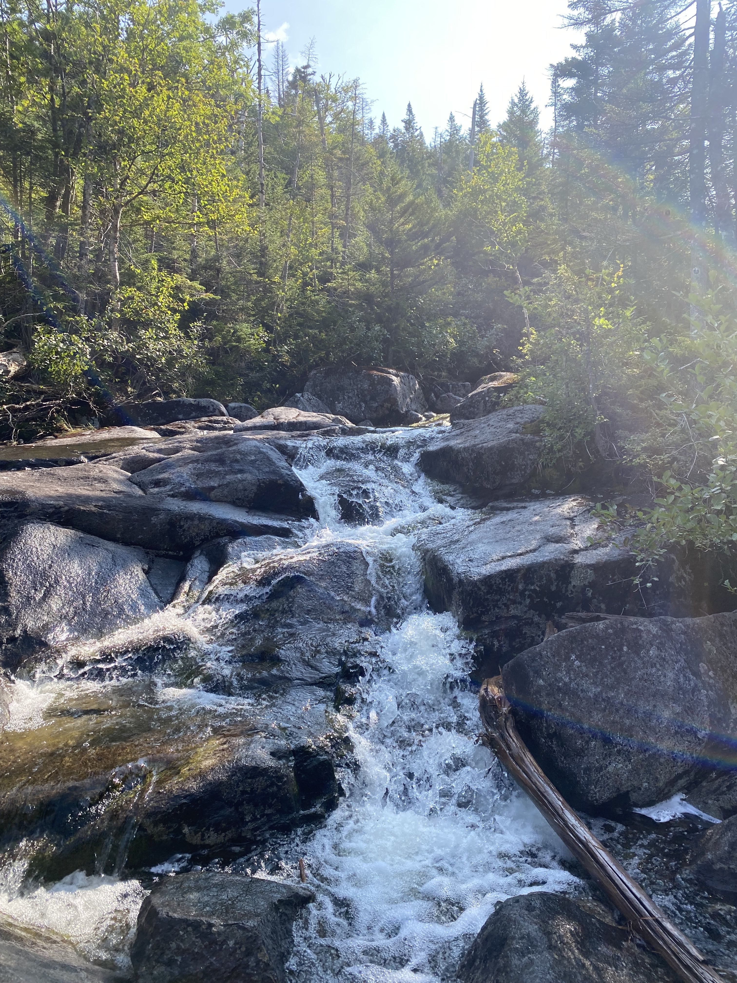
Oh Mount Marshall... this was one crazy choice for a second high peak. This was also my
first backpacking experience, with a campsite near Lake Colden. We hiked into our campsite
with heavier packs, set up camp, and hiked Marshall up Herbert Brook and down Cold Brook Pass,
stopping at the plane wreckage. When we hiked this, half the hike
was snowy and icy.... While this
made for unique views up to Marshall, heading down the rough,
rocky Cold Brook Pass with coatings of ice on the rocks was a free-for-all mess. Hiked with
the outing club and, in our group of eight, all of us wiped out somewhere on this trail,
whether it be a mediocre slip or falling on your back and hitting your head on a hard rock.
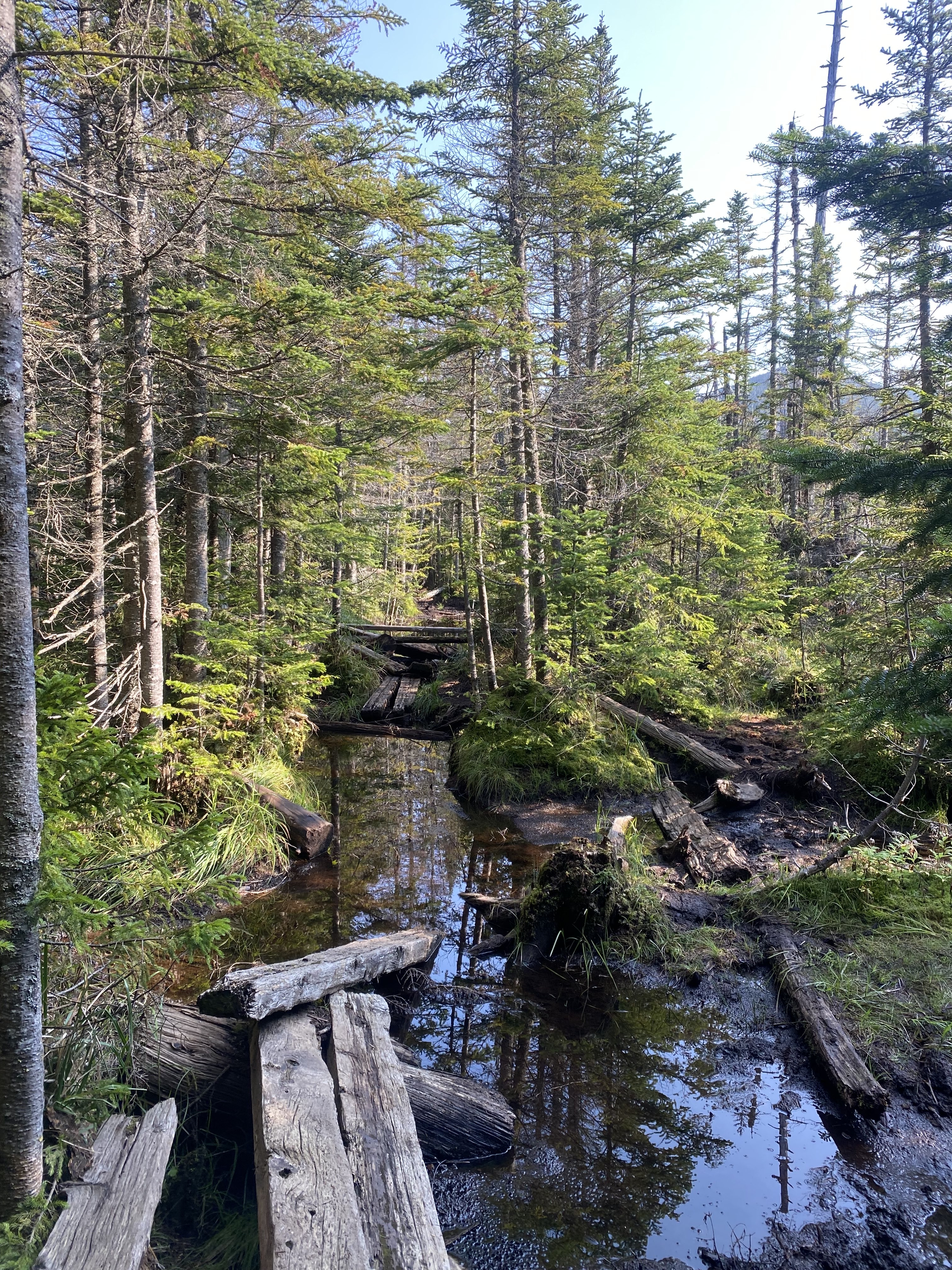
Then, there was the mud. MY GOD the mud was unbearable, but maybe it was because I'd never
had to deal with it before! I can look back now and say that the mud was somewhere slightly
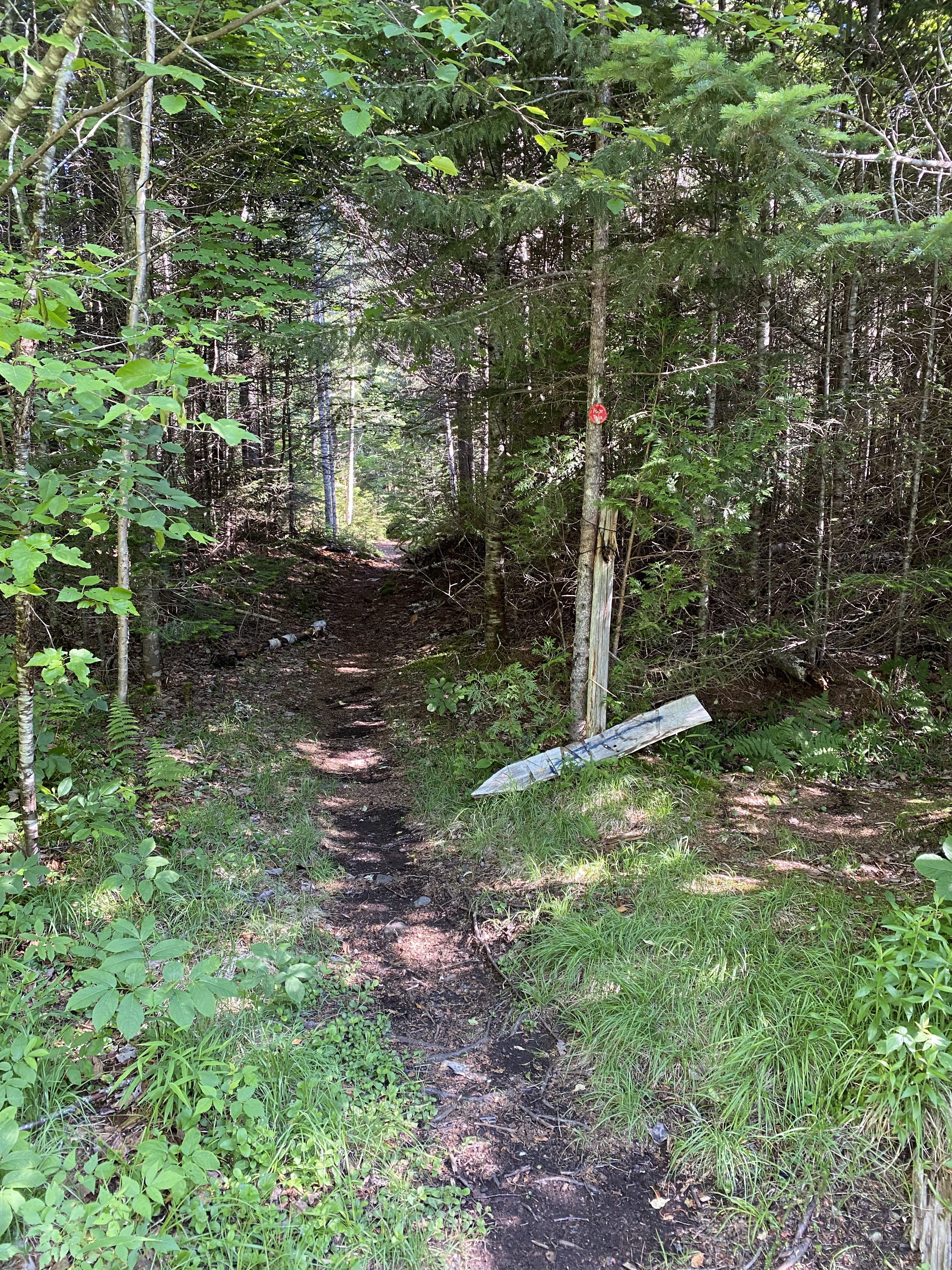
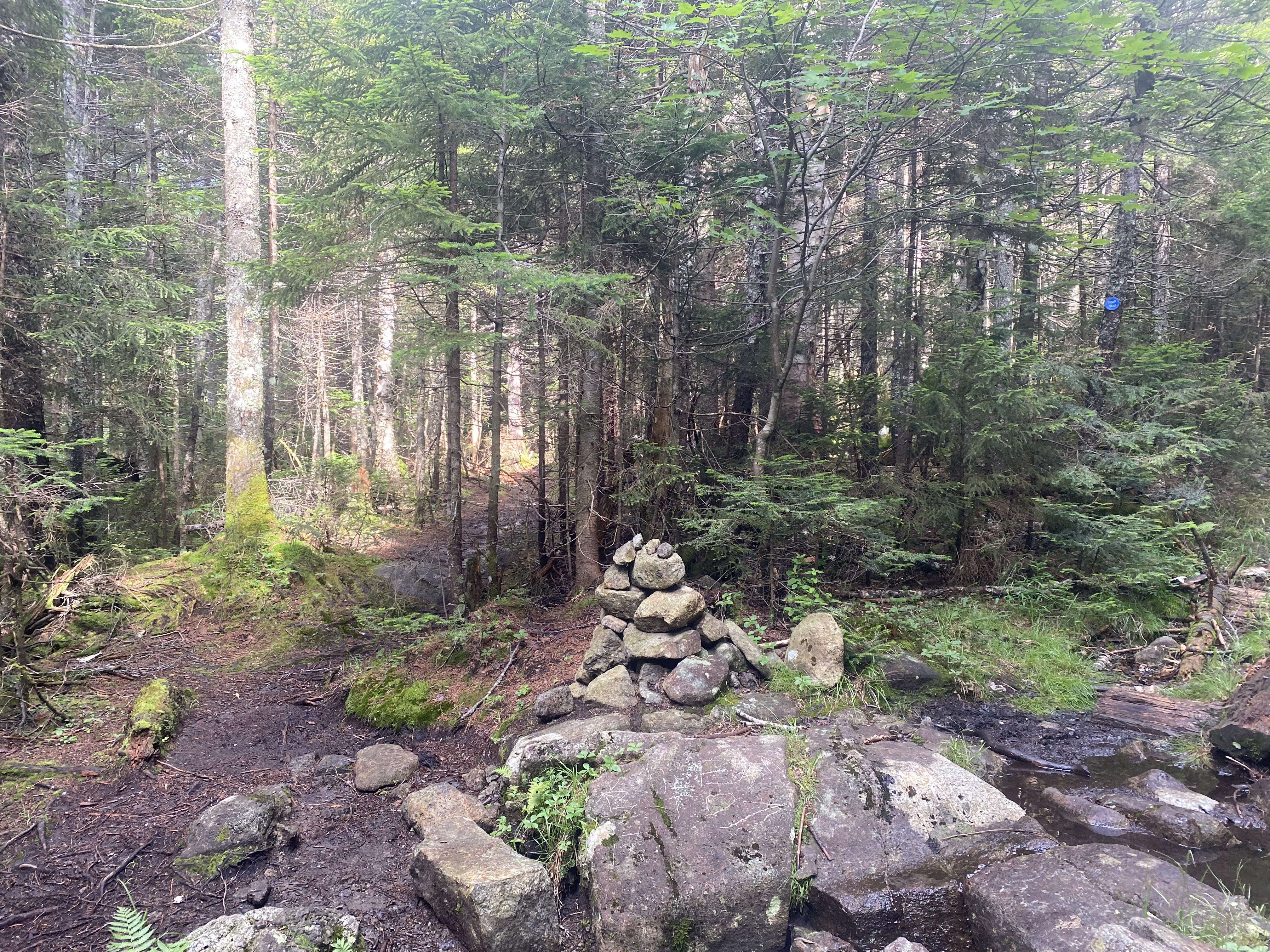
above average, mostly on the Calamity Brook Trail. Marshall is accessed by unmarked trails and,
especially on this mountain, the trails can be hard to follow and have lots of spiderwebbing: the
small branches of trails off the main one people make from taking wrong turns. Looking back,
Marshall
is a great hike and one of those which feels very remote, making for a great experience, but don't
do it as early as me. Doing this early meant I found it hard and unenjoyable.
Read More
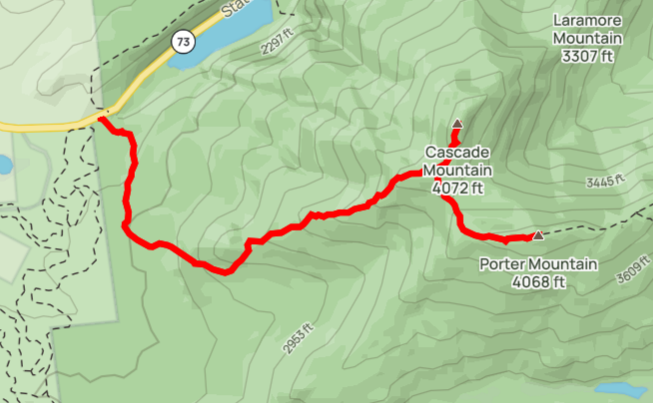
#3-4 - Cascade Porter
10/29/22
5.6 miles
2286 ft gain
Other than something like Big Slide, this pair is commonly a hiker's first high peaks.
I agree with their choice. These are definetly the easiest due to their close proximity
and minimal elevation gain, all while still offering great views! There is a little
scrambling to the summit of Cascade and to a cool boulder outlook on Porter, but only
the latter of which is steep enough to require hand usage. I hiked these with my dad
rather than with the outing club. Expect mud heading to Porter, as you'll be hiking
through a col between the mountains.
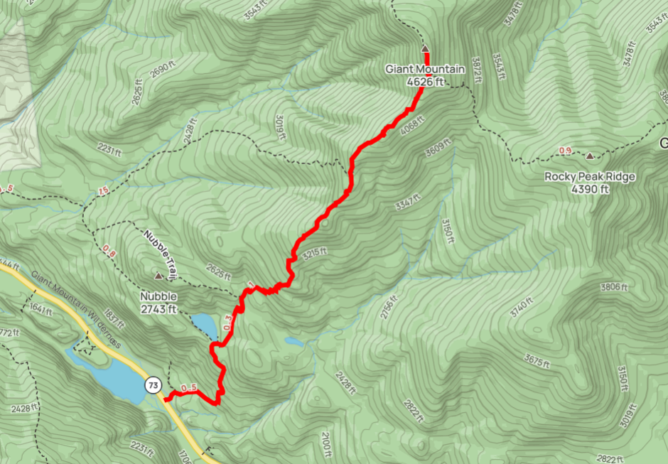
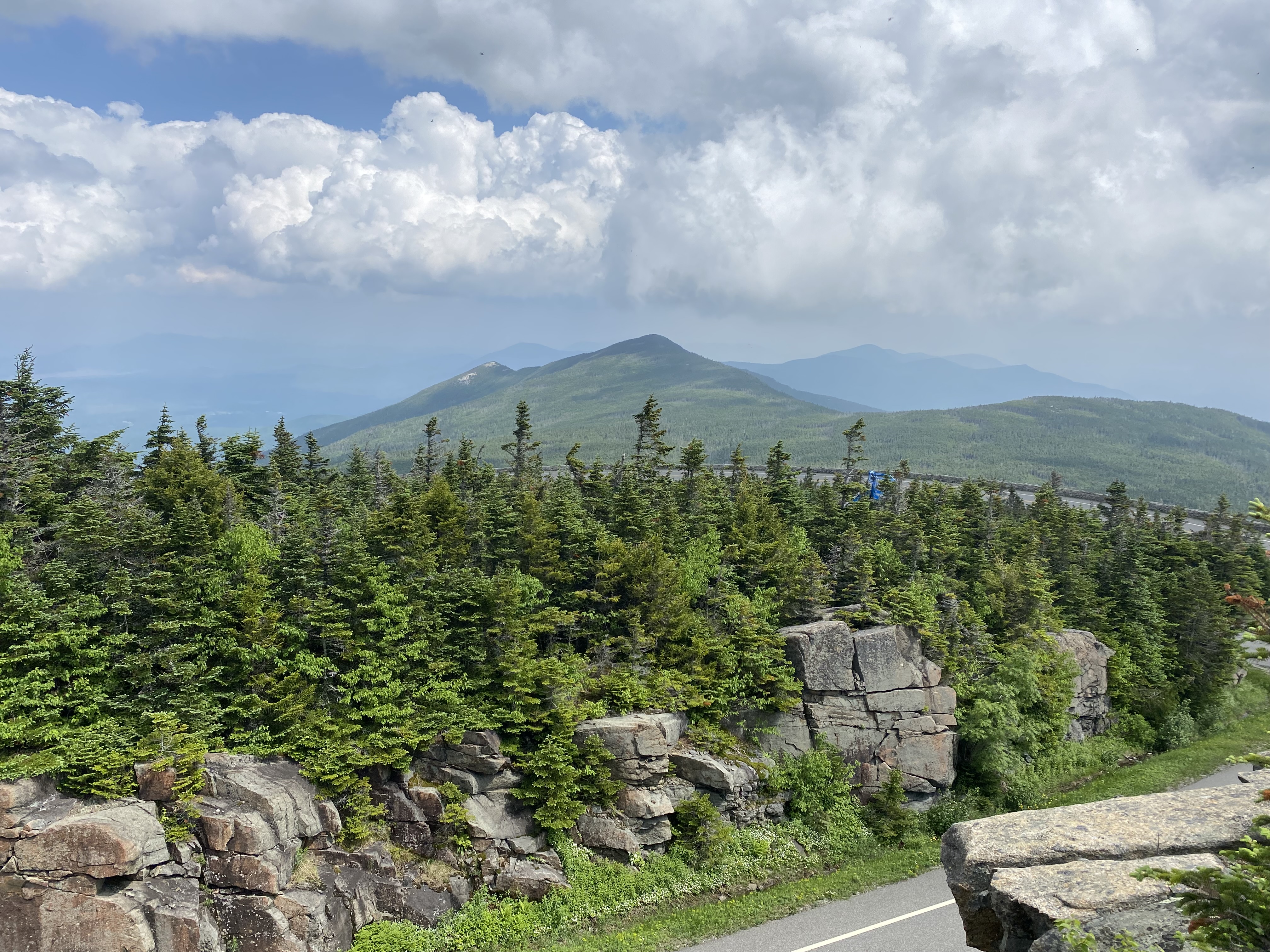
#5 - Giant
6/11/23
6.1 miles
3018 ft gain
NOTE: Mileage and elevation gain recordings after this are based on my GPS location
through Strava and may be overstated.
Giant is a span but steep mountain which offers constant views of Keene Valley for the
entire way up. I hiked this with my dad and a college friend. Don't underestimate it...! The
trail is very scrambly and filled with slabs, meaning you'll ascend slowly. When we did
this, the trail was still damp from rain, meaning the rocks were slick. I haven't had much
slab climbing experience here and actually slipped, sliding down one roughly three feet.
"Giant" is actually a shorthand for the full name, "Giant of the Valley," which is evident
by the view you'll be rewarded with. Many people also hike the nearby Rocky Peak Ridge but
we didn't because it started raining on the summit and our group didn't feel so well. The
section to RPR is steep so keep that in mind if you go for it. Giant is a great peak to
get used to the kinds of open slabs and scrambles you'll find on other high peaks. Don't
underestimate this or especially RPR from the low mileage.
Read More
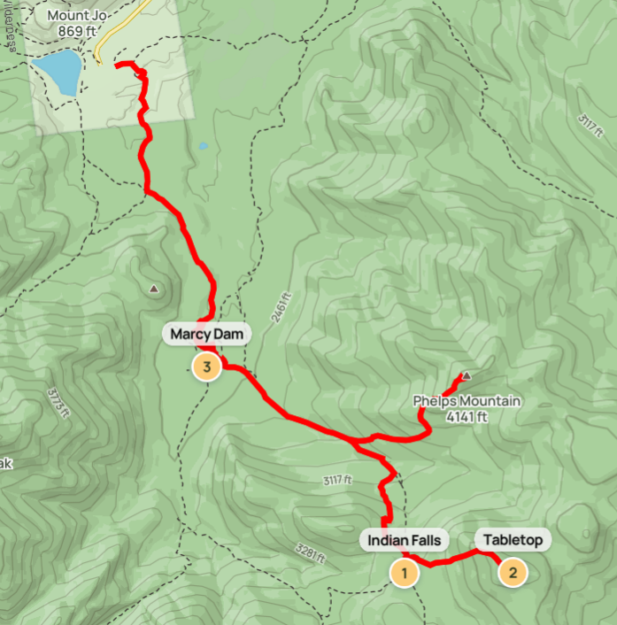
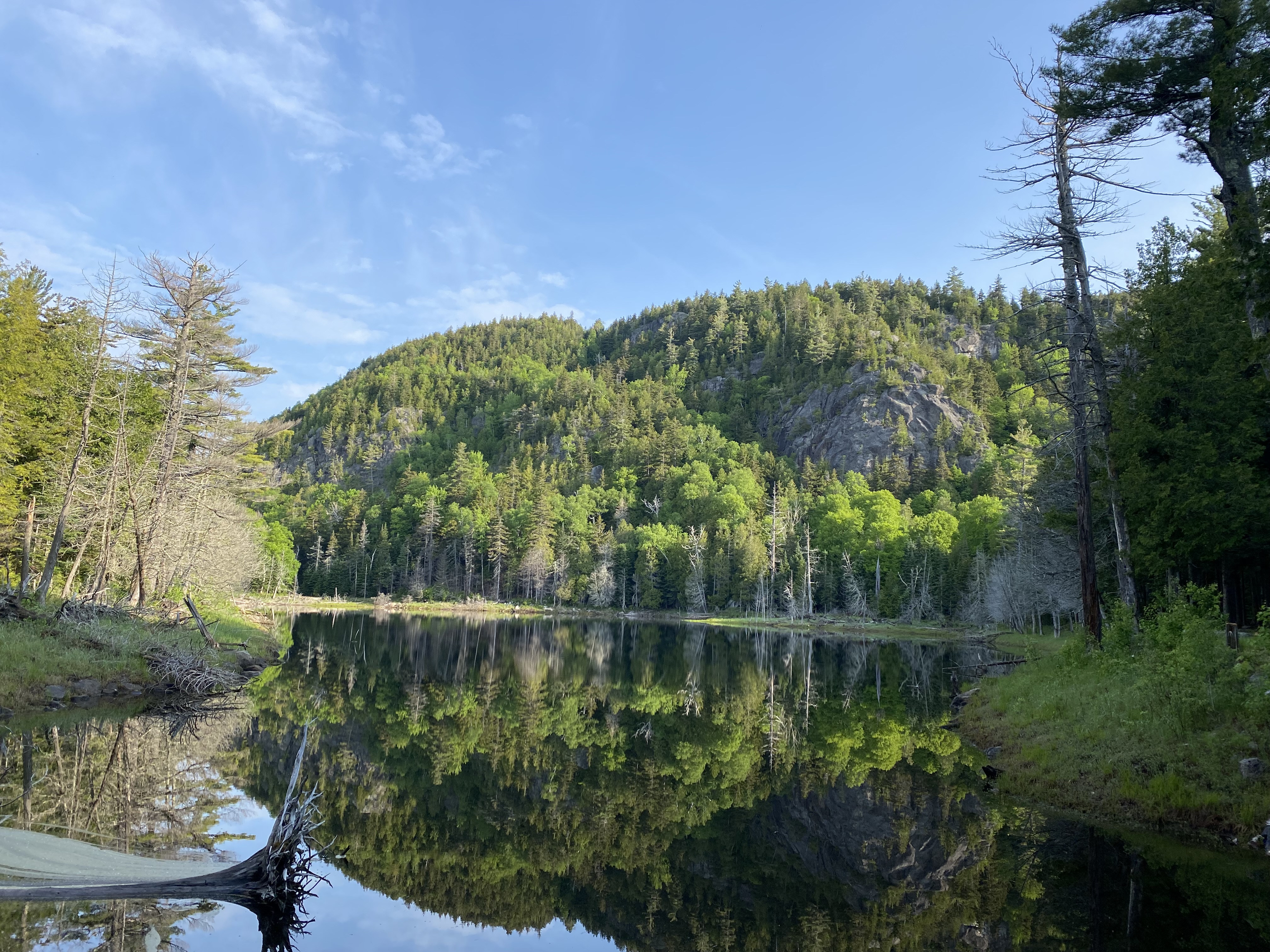
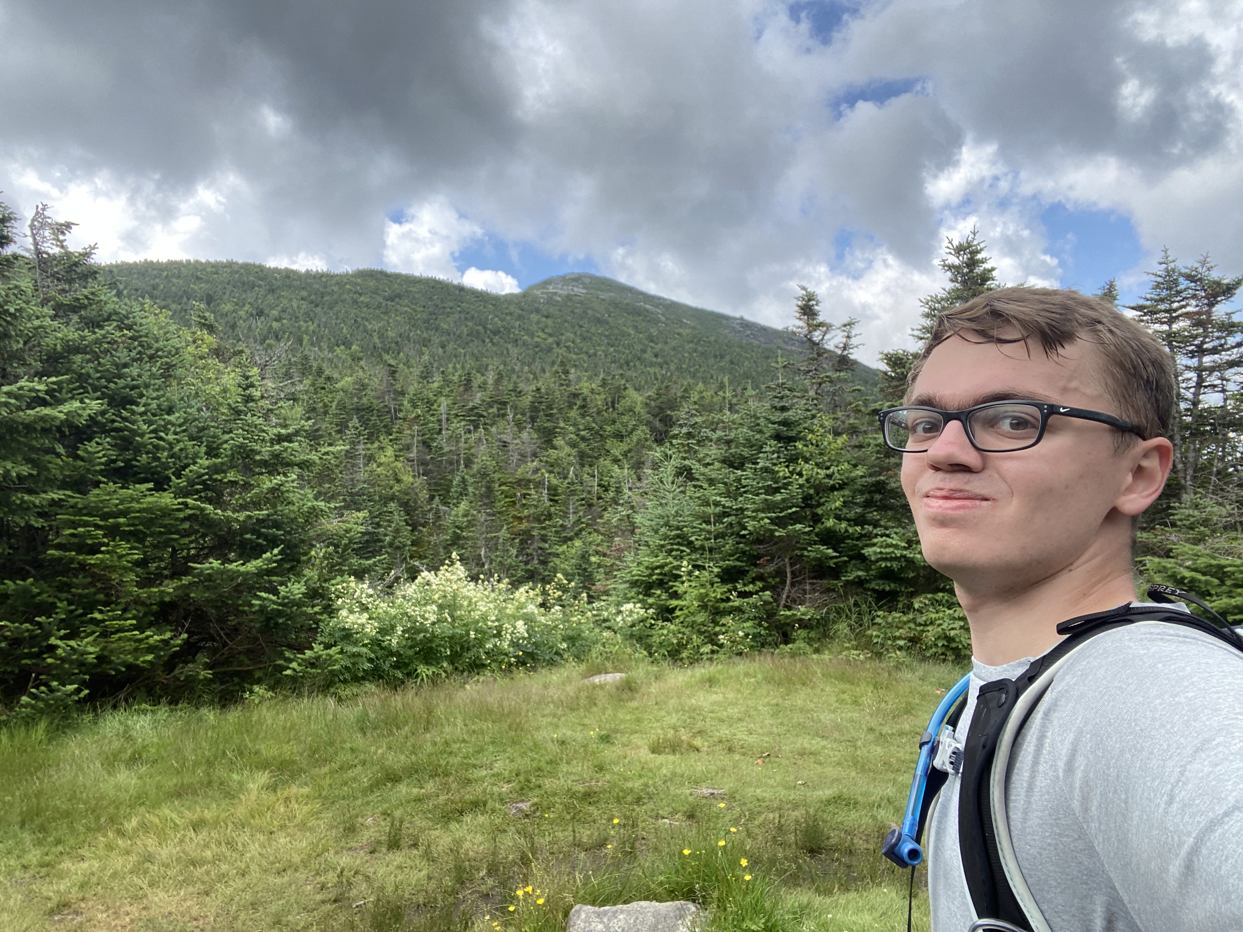
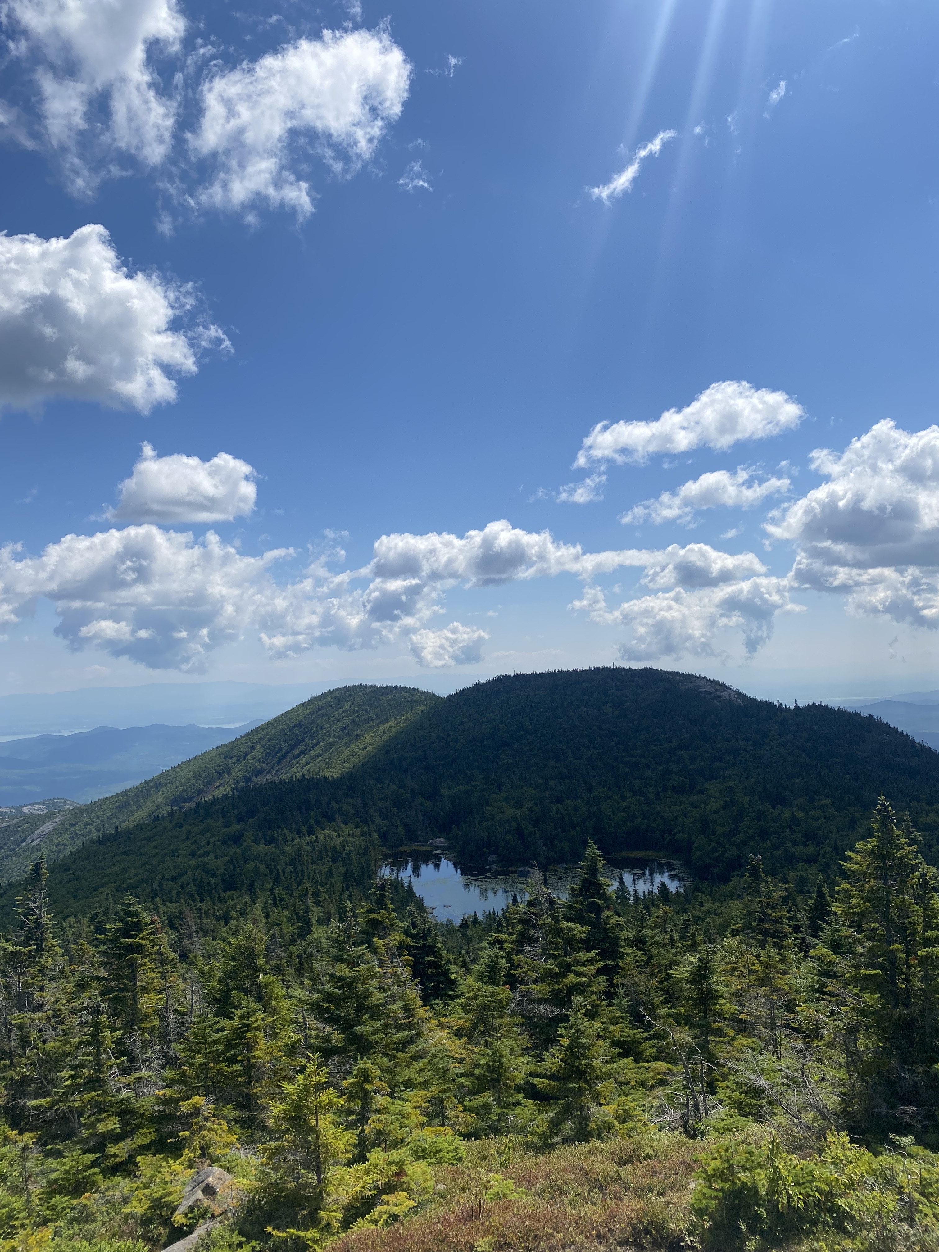
#6-7 - Phelps Tabletop
6/20/23
14 miles
3860 ft gain
This was a big day for me! This hike had the most distance (single-day) and elevation gain I've done.
This was also my first solo hike. The Van Hoevenberg trail, which leads to Mount Marcy, is probably the
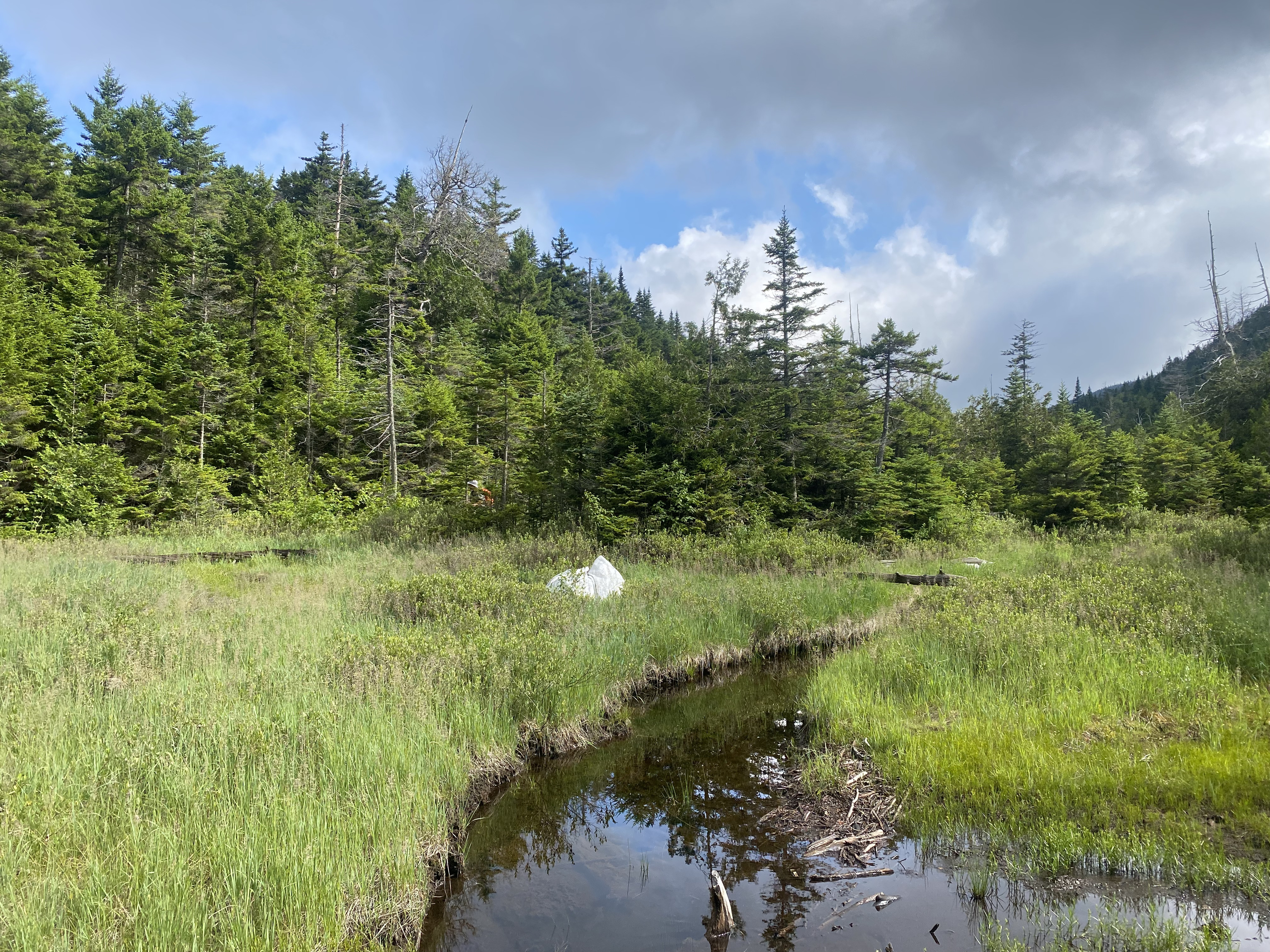
most well-hiked trail in the park. Your first stop is Marcy Dam about 2.3 miles in, which was destroyed
from Hurricane Irene in 2011.... The pond thus drained and the dam was not rebuilt, leaving eroded soil
beds. You can still stand on either side of the dam for scenic views of the area. Indian Falls, at
roughly 5
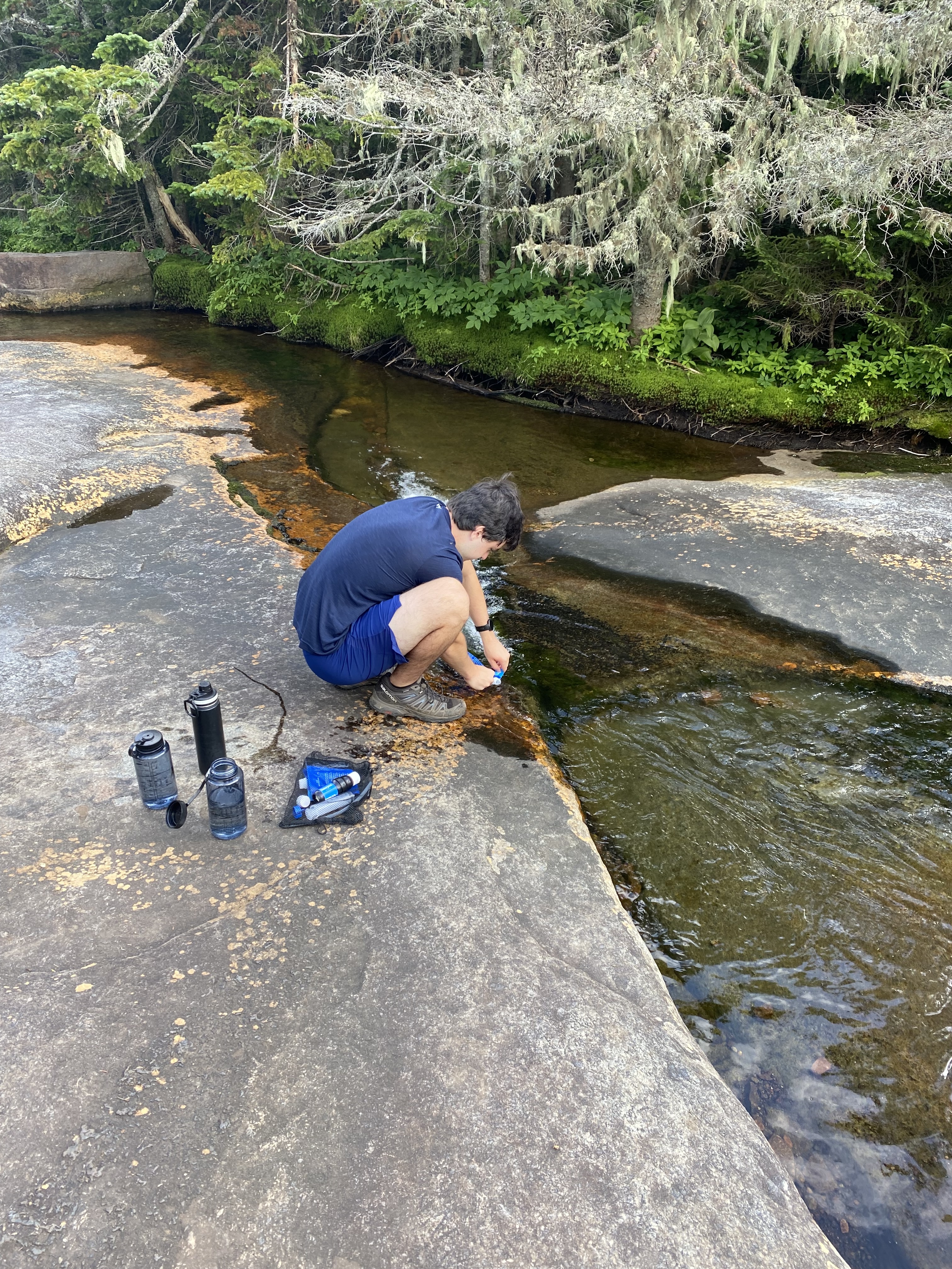
miles in, is your next stop and offers a perfect vista of the MacIntyre Range and a spot to refill
water.
From here, we did Tabletop first. Tabletop's trail is an unmarked but well-defined stream bed with
water
running down. Once you've reached its turnoff you've done most of the elevation and there's only
around
800ft left. Be prepared for a notoriously-muddy summit! I used trekking poles to help balance along
the
branches and rocks. While having a wooded summit, you get nice views of Marcy and Haystack. Heading
up
Phelps is decently harder and longer, especially doing it second as you've tired out. Phelps has a
lot more
scrambles and seems to take forever to summit. The view is significantly better: a ledge opening
southward
offering views of most of the high peaks. I wasn't there for long though due to black flies. This is
a great next step for hikers and makes for a
memorable
day. Indian Falls and Marcy Dam are some of my favorite spots in the park.
Read More
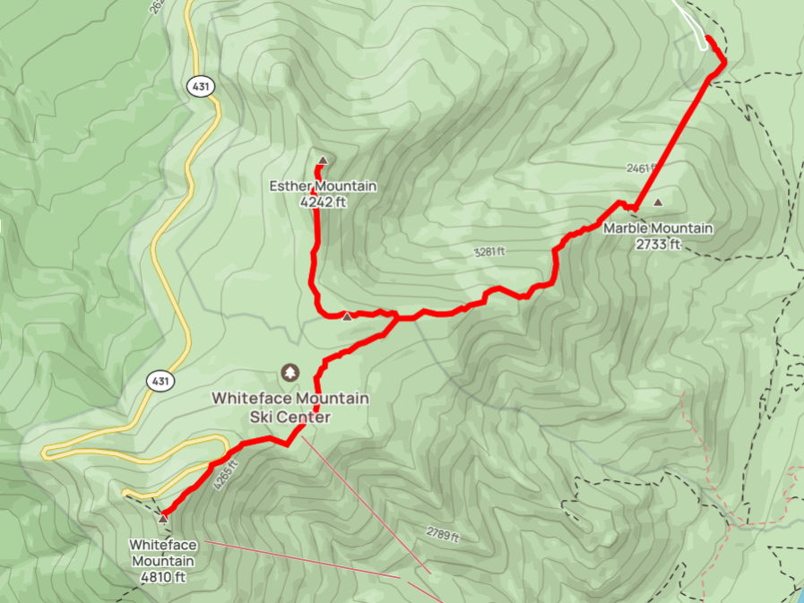
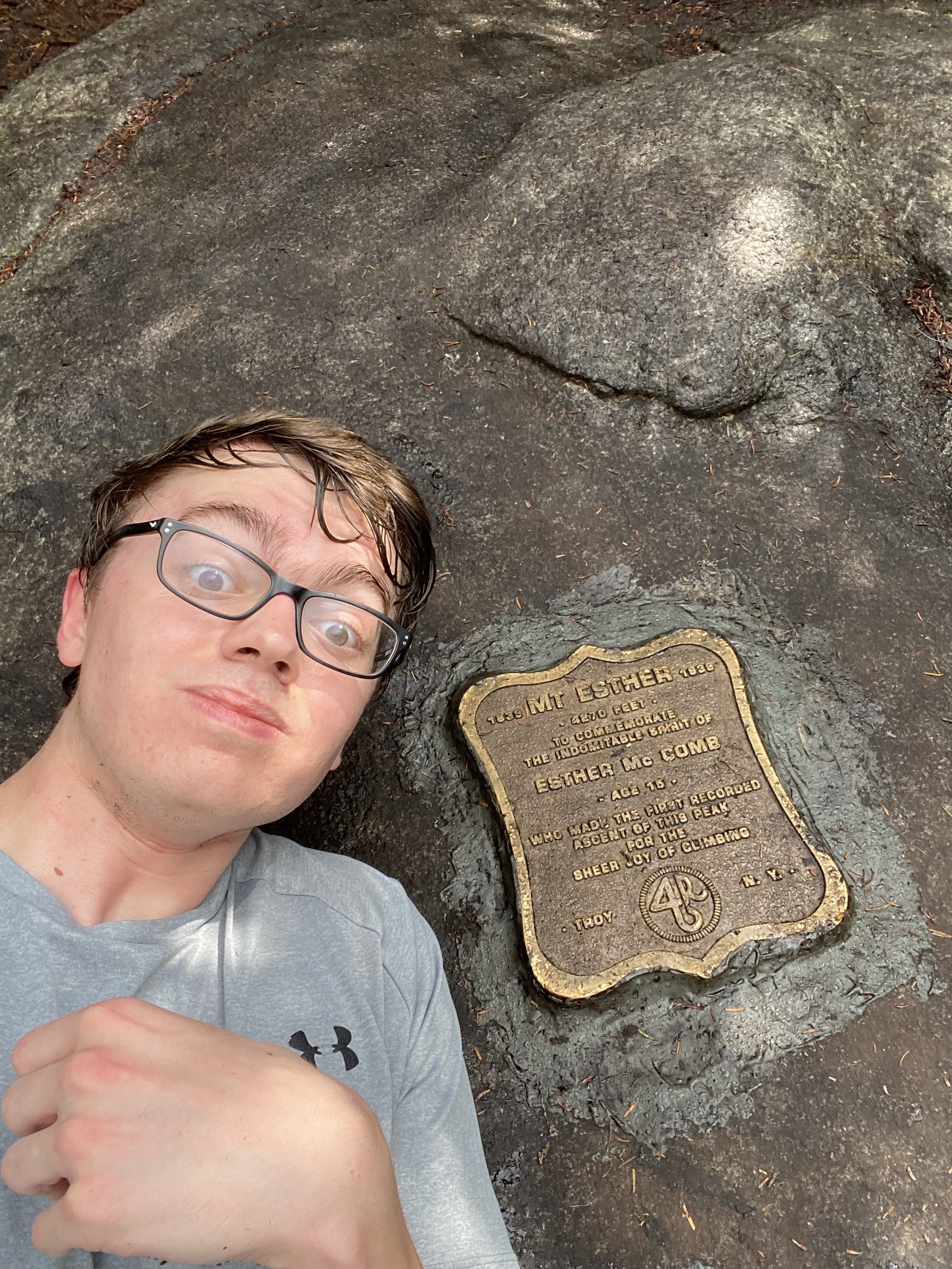
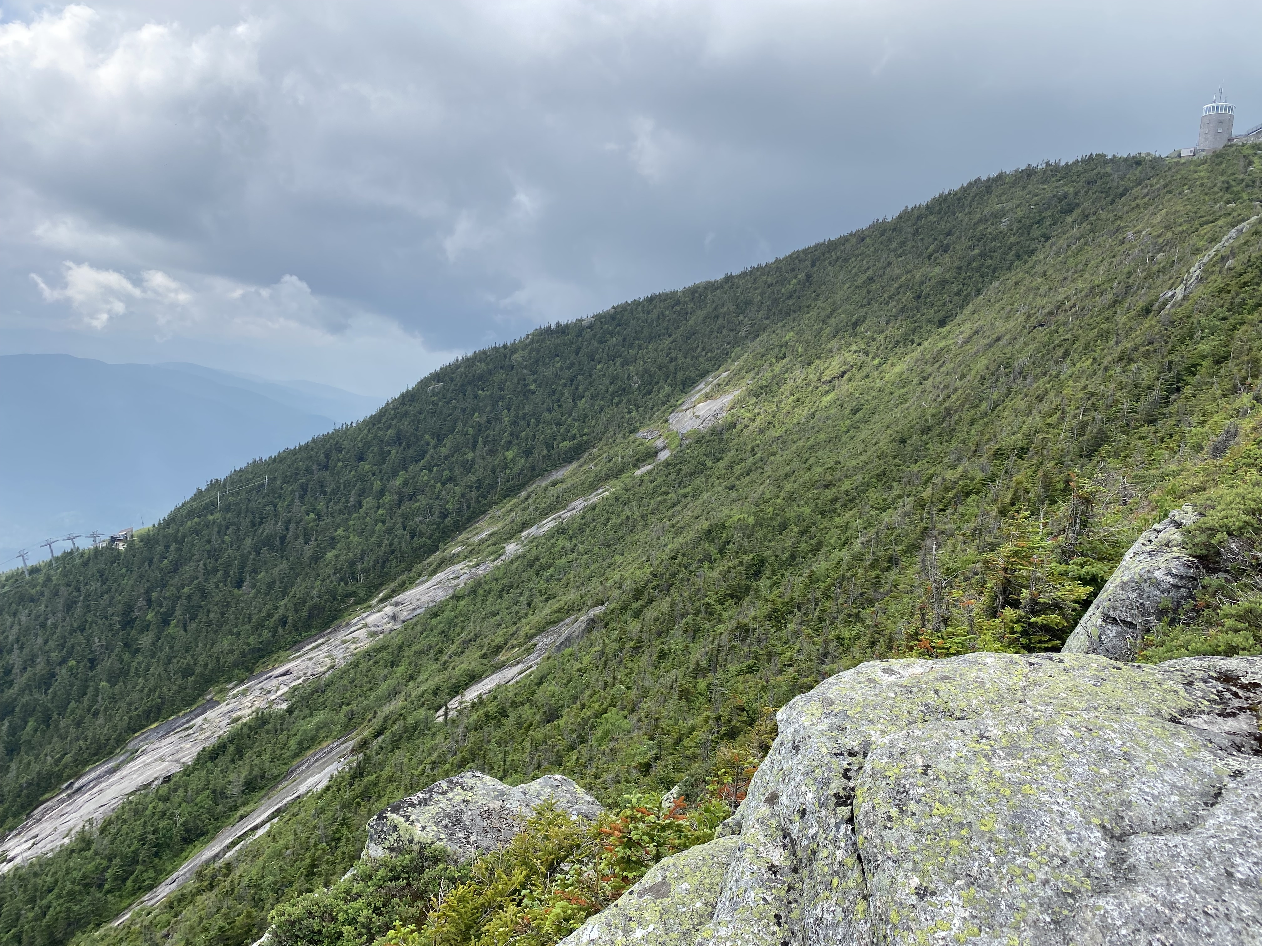
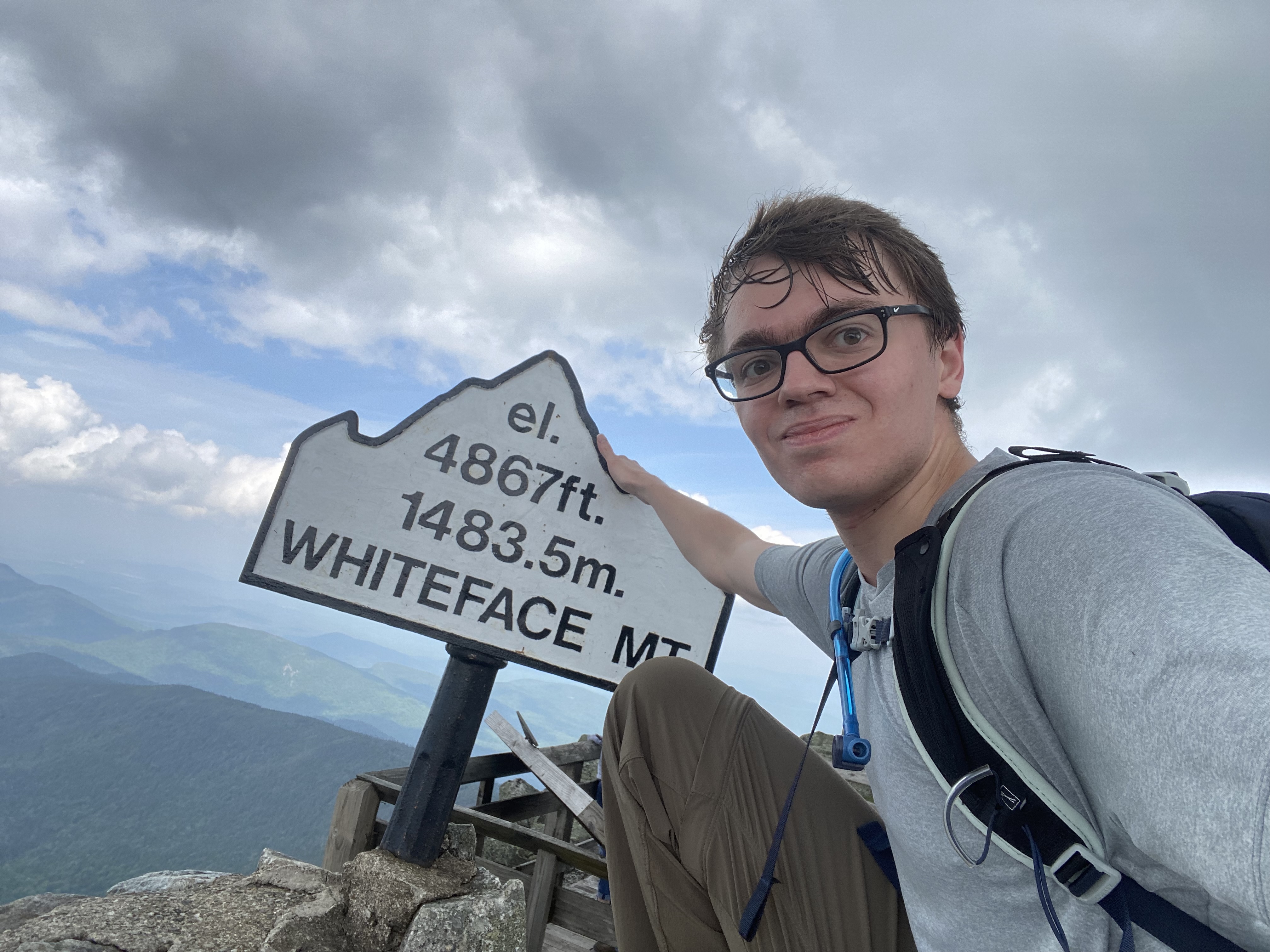
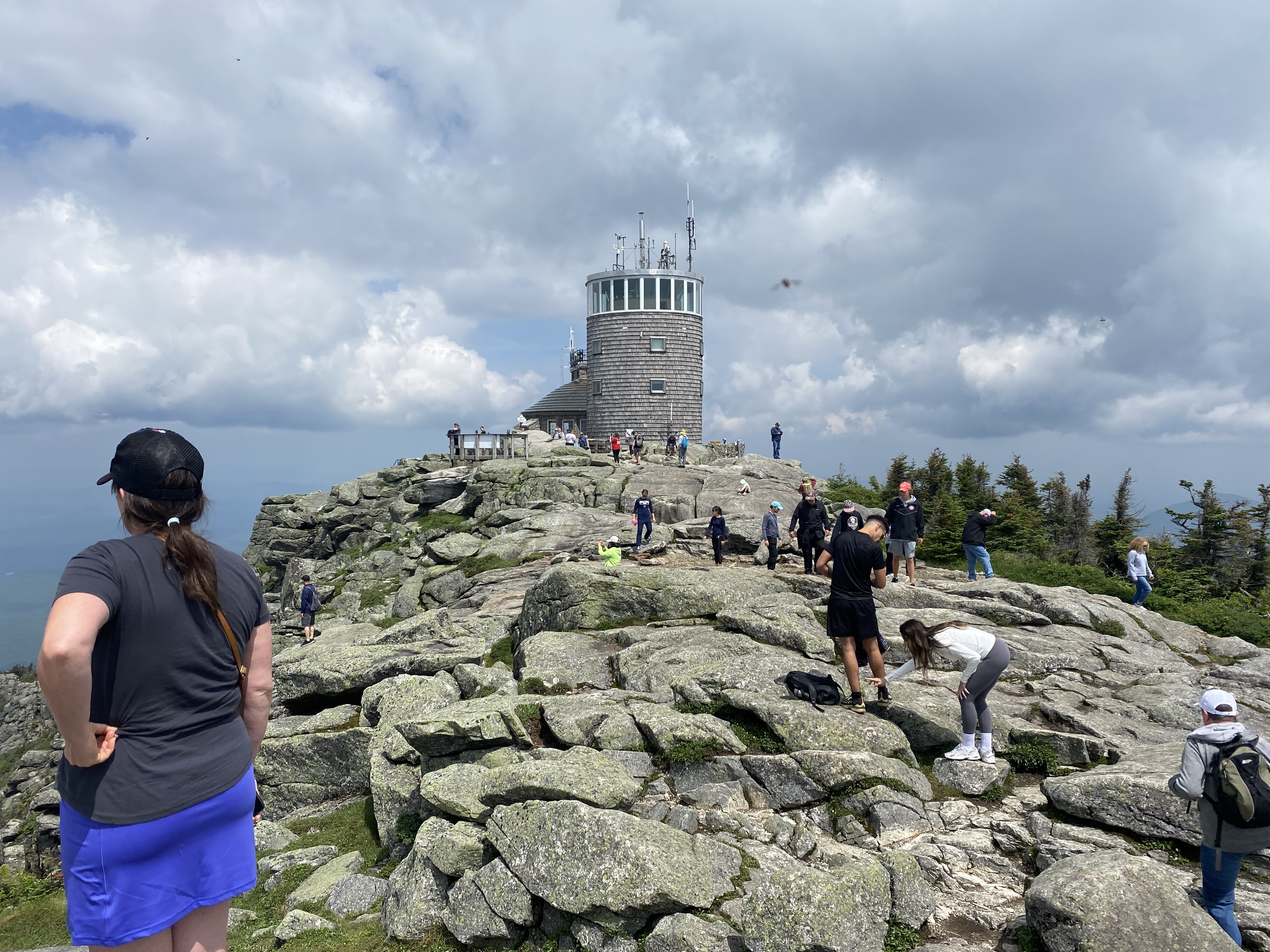
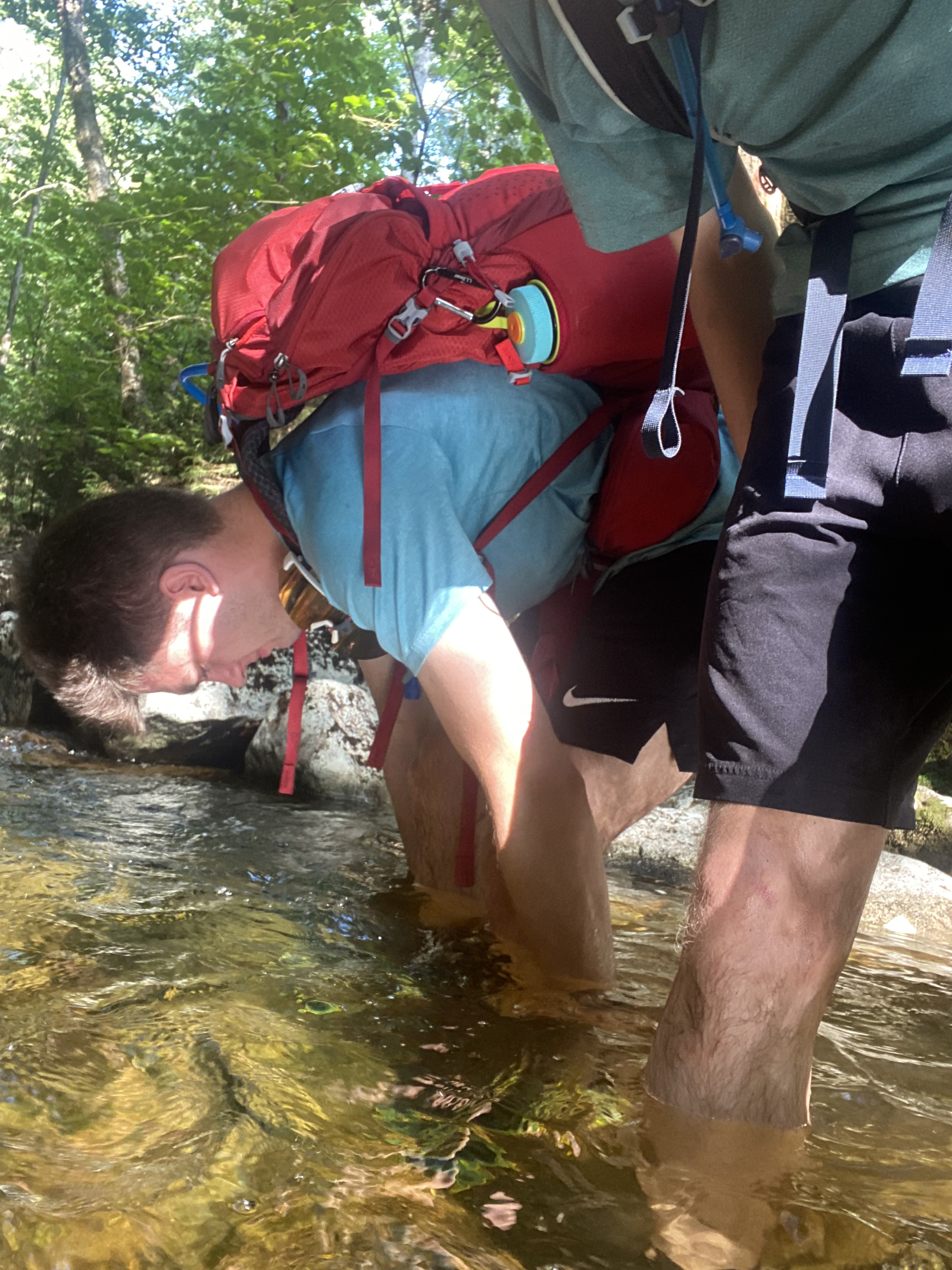
#8-9 Whiteface Esther
6/30/23
10.78 miles
3895 ft gain
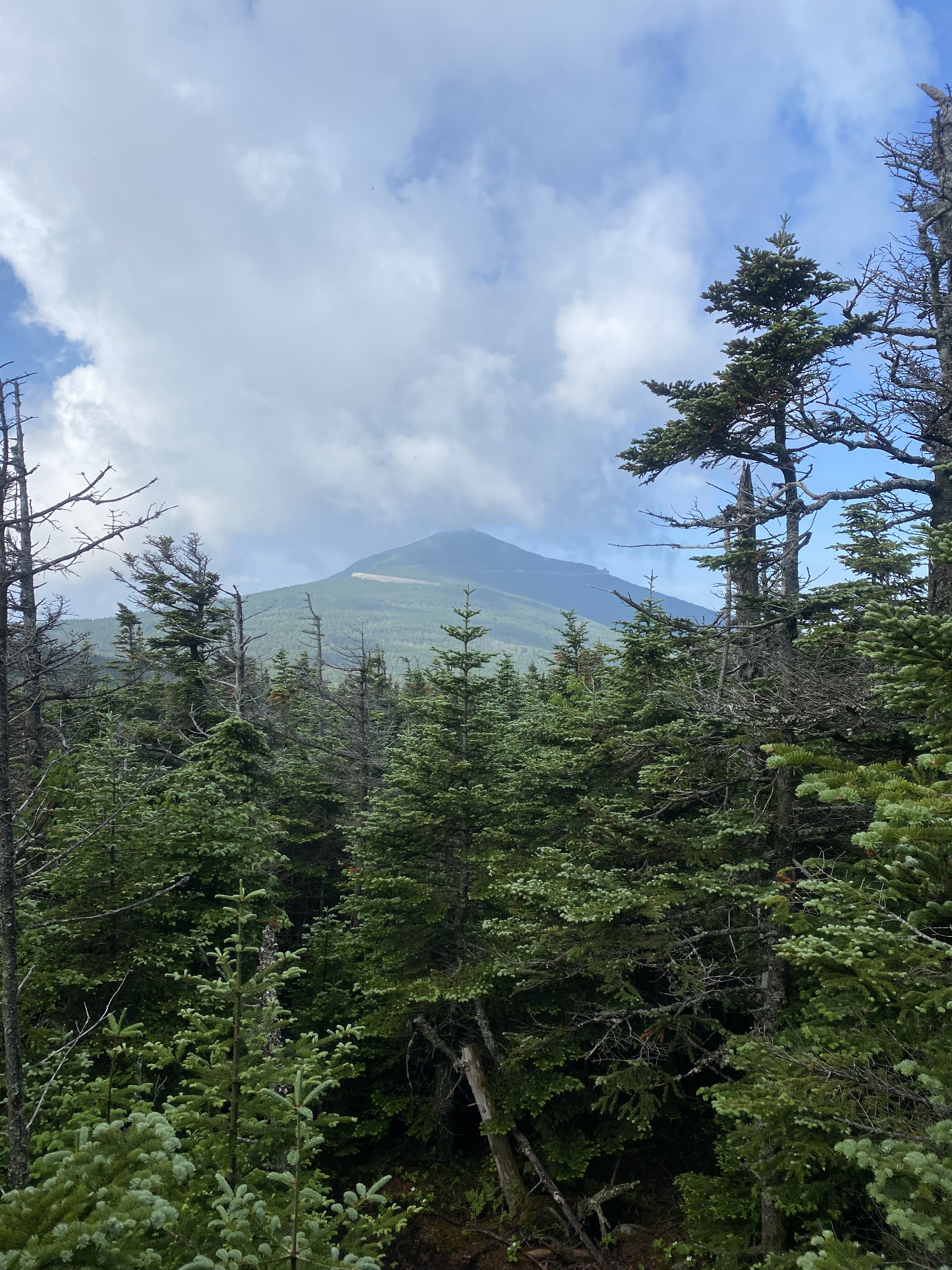
This was a solo hike. Whiteface is a unique mountain as it's the only high peak with a road
to its summit. As such, this is a common hike to finish the 46 on: your family and friends can
meet you at the summit! However, you'll have to hike up and down the mountain for it to count.
The first mile to Marble Mountain is no joke and steep, ascending an old ski trail.... From there
the hike takes on the usual high peak style: rocky, scrambly, muddy, and steep. One unforseen
condition I had to deal with this summer was Canadian wildfire. With shifts in wind patterns,
AQI in the high peaks can shoot up to unhealthy levels. On this day, the AQI was around 100-150
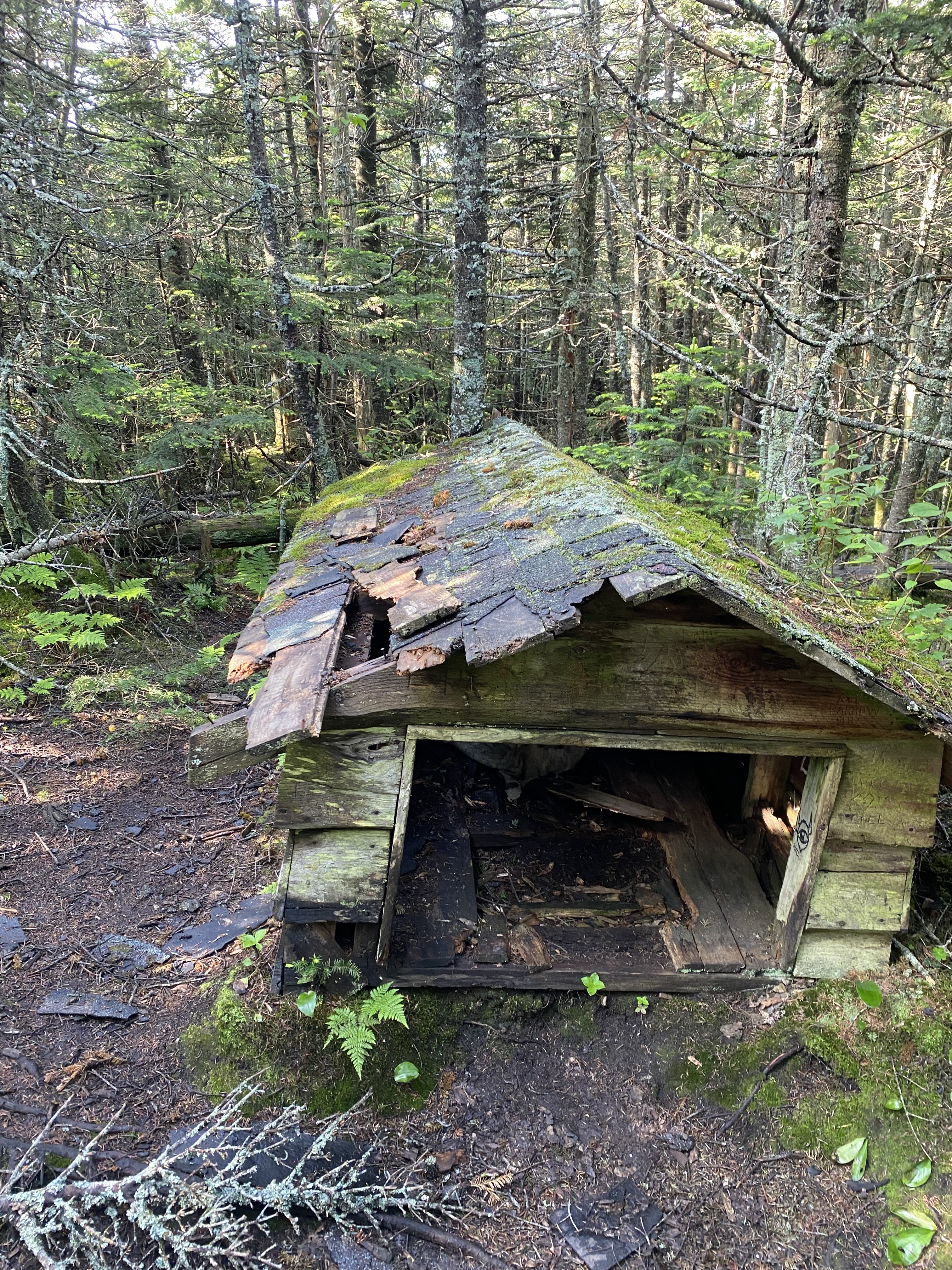
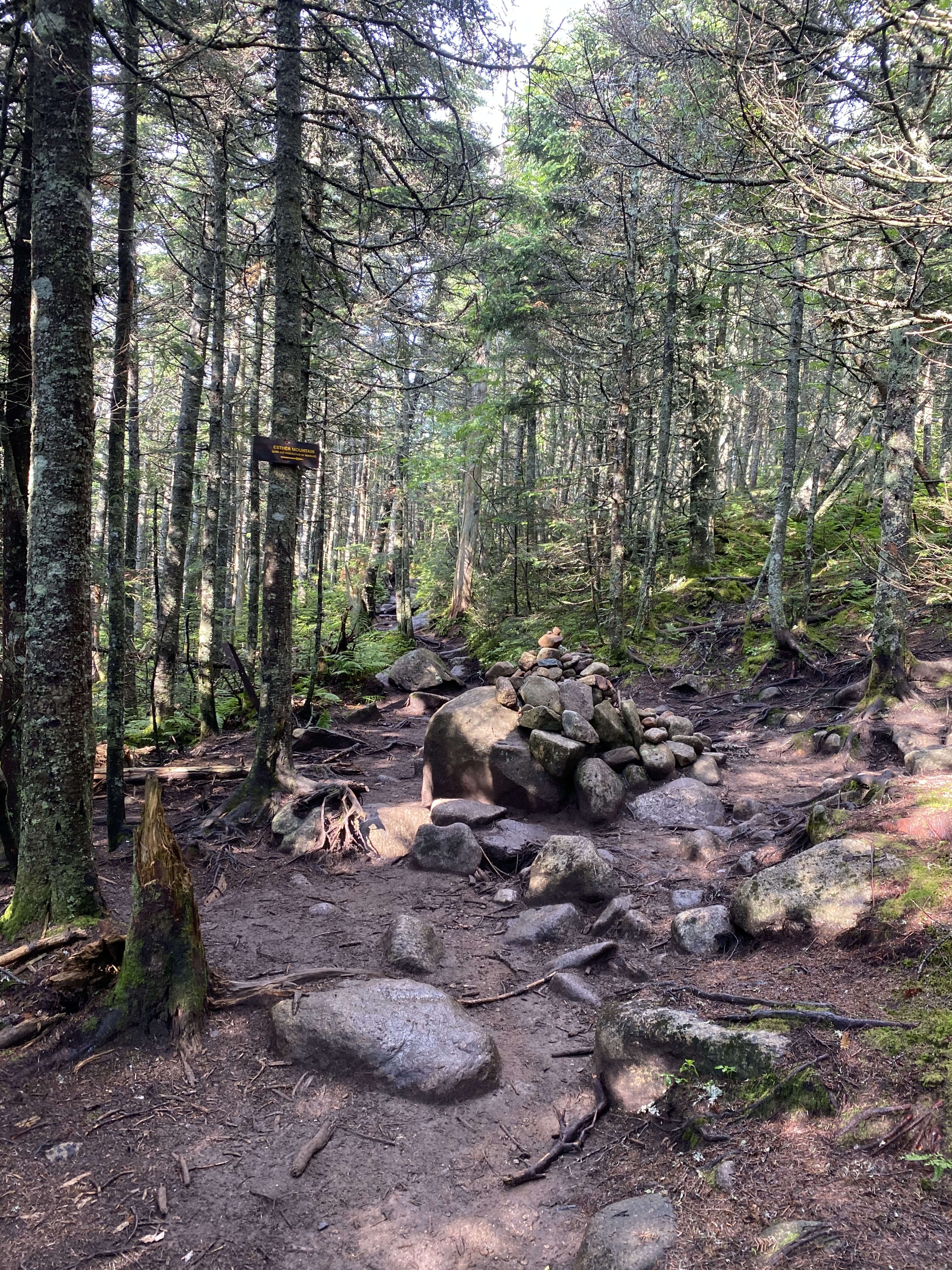
but I still decided to hike. You'll reach a large cairn indicating the junction for Esther, take
a right. From here, the trail is very easy but super muddy! During my out-and-back to Esther I
went over my boot in mud around 4 times. All this and you're presented with no views, but a cool
plaque I guess. I hiked this during bug season and Esther was horribly swarmed with black flies.
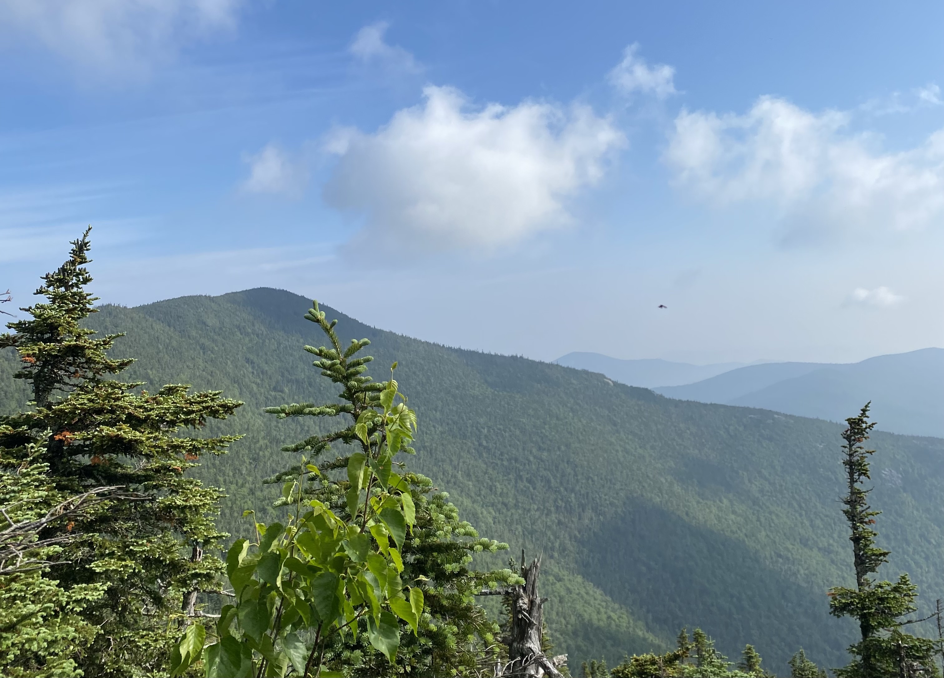
There are some wooded views of Esther on your way up and of Whiteface if one turns
around. Heading up to Whiteface was still muddy but quite flat for some time. You'll reach some
ski trails before ascending to the toll road and further scrambling along a ridgeline to the summit.
Then, you emerge to a summit that's flocked with tourists. It's an interesting experience. While the
crowded nature of the summit is a problem, its hard to not enjoy the amazing views you'll get. I
think this hike is easier than Phelps Tabletop.
Read More
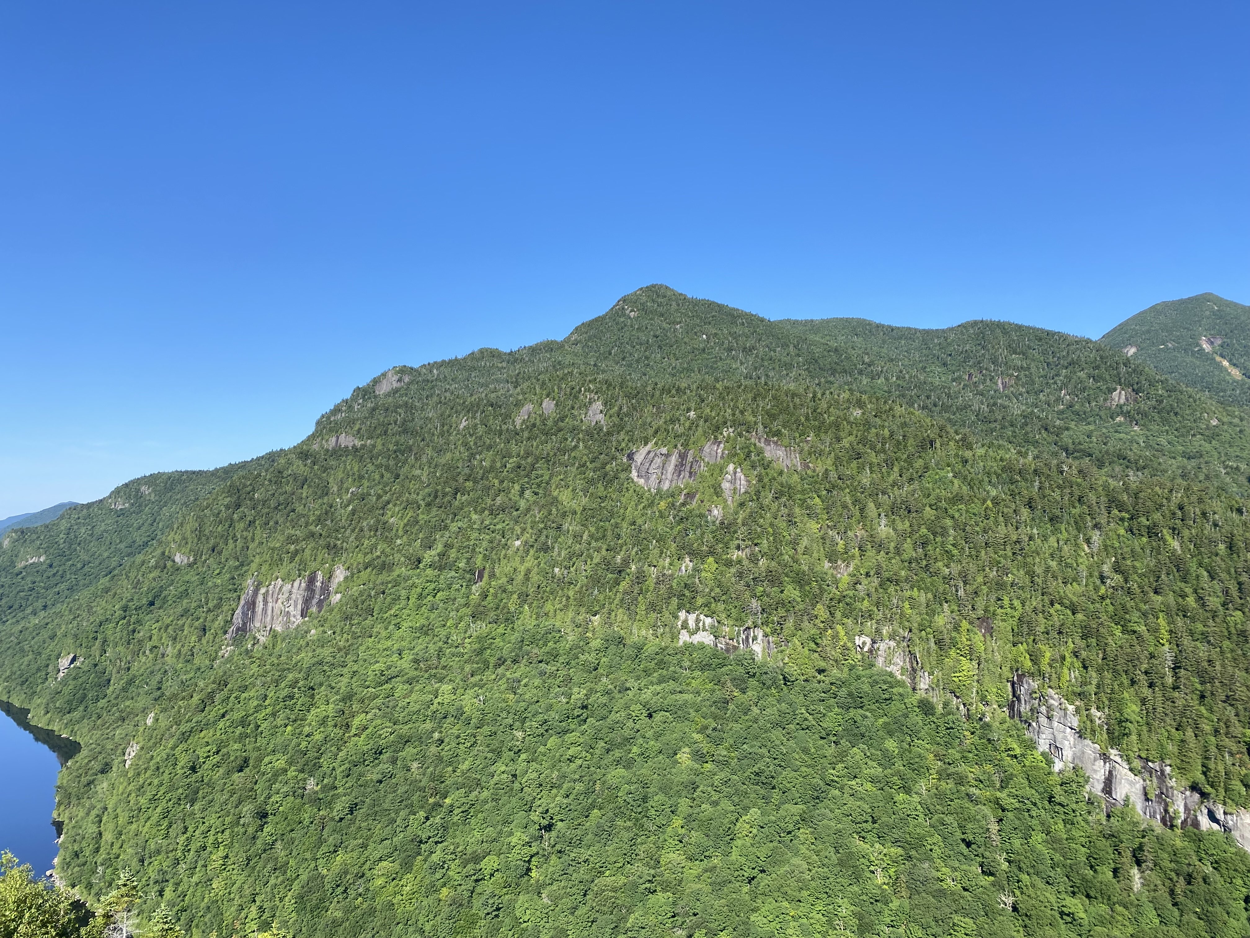
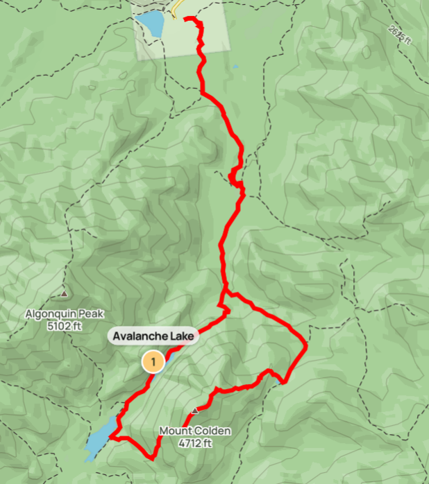
#10 - Colden
7/6/23
15.32 miles
3217 ft gain
Colden is commonly done in three ways: out-and-back from Lake Arnold, looping through Avalanche Lake, or
climbing the Trap Dike. I chose the middle and most-popular option. You'll hike to Marcy Dam like before
and take a right towards the Avalanche Camps site. Most people ascend via Colden's south side which I
further
recommend due to it being steep and slick.... As such, you'll traverse Avalanche Pass. This trail is AMAZING!
Avalanche Lake is nestled between the steep slides of Colden and the cliffs of Avalanche Mountain.
The trail
passes narrowly alongside this cliff with ladders, rock scrambling, and bridges bolted into the
cliff face over
water, known as Hitch-Up Matildas. You'll also get good views of the Trap Dike. After this, Colden's
south side
is one of the steepest trails in the park. The trail is mostly steep, slick slabs of rock, some with
stairs.
You should have some experience with this kind of trail before doing Colden as the extra slickness
will make this
tough. Once you summit, you'll have great views of Marcy, the MacIntyre Range, and more. Descending
to Lake Arnold
you'll find is shorter and easier, but don't lose focus! I slipped here and scraped my elbow badly,
prolonging my
hike by an hour for first aid, refilling water, etc. I got a decently-sized scar from it. Once you
reach the lake
and head back to the camps, the trail is on a rocky, dry stream and is not easy. Hike out is quite
long but you'll
have Marcy Dam to stop halfway out! One of my favorite hikes in the park. I hiked this solo.
Read More
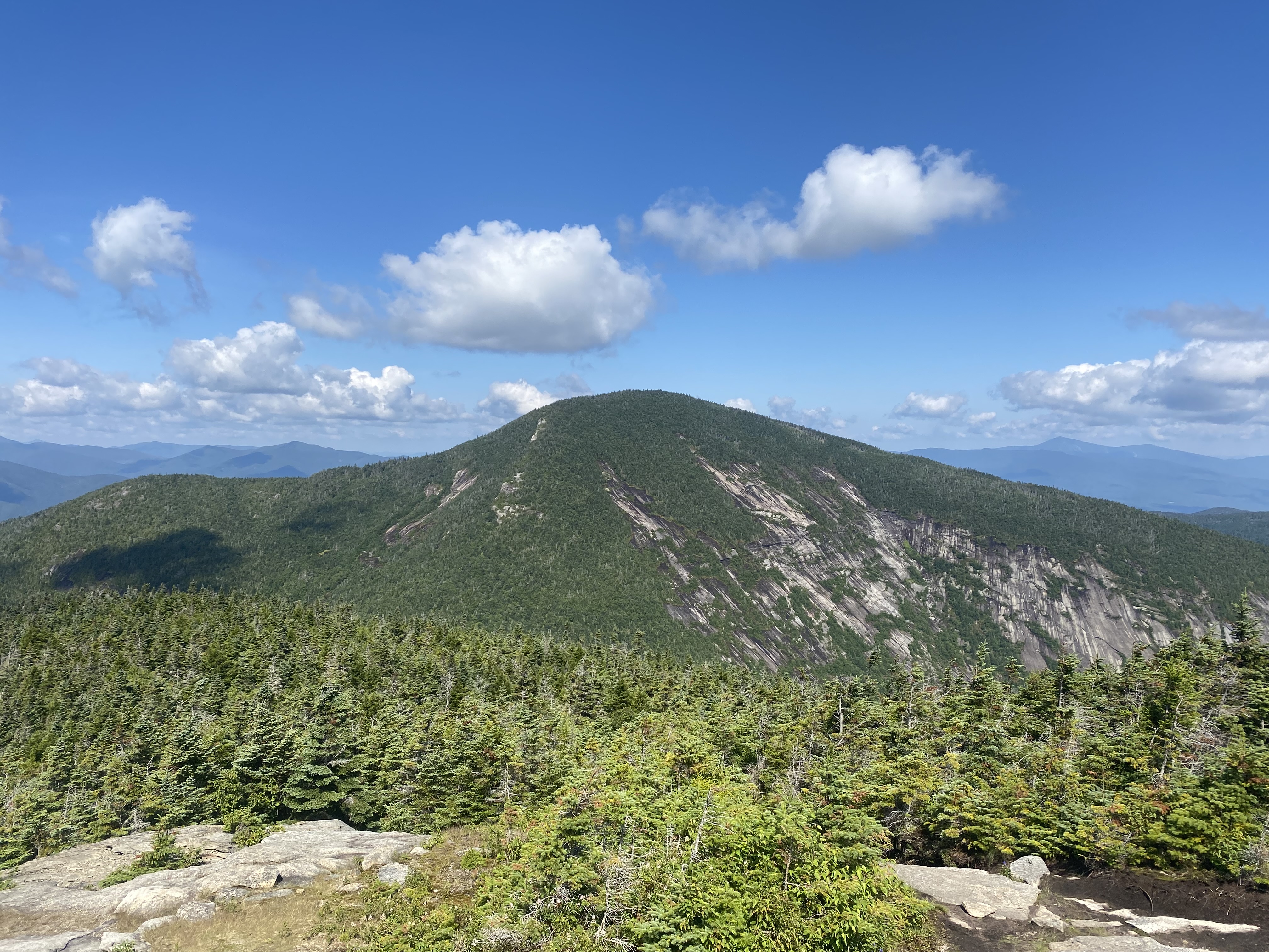
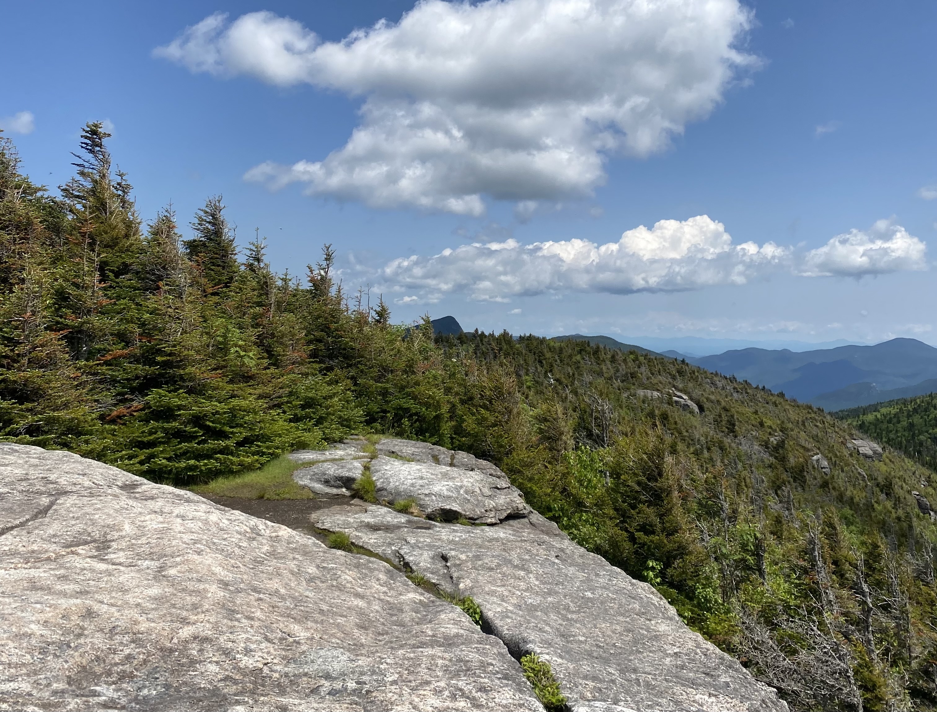
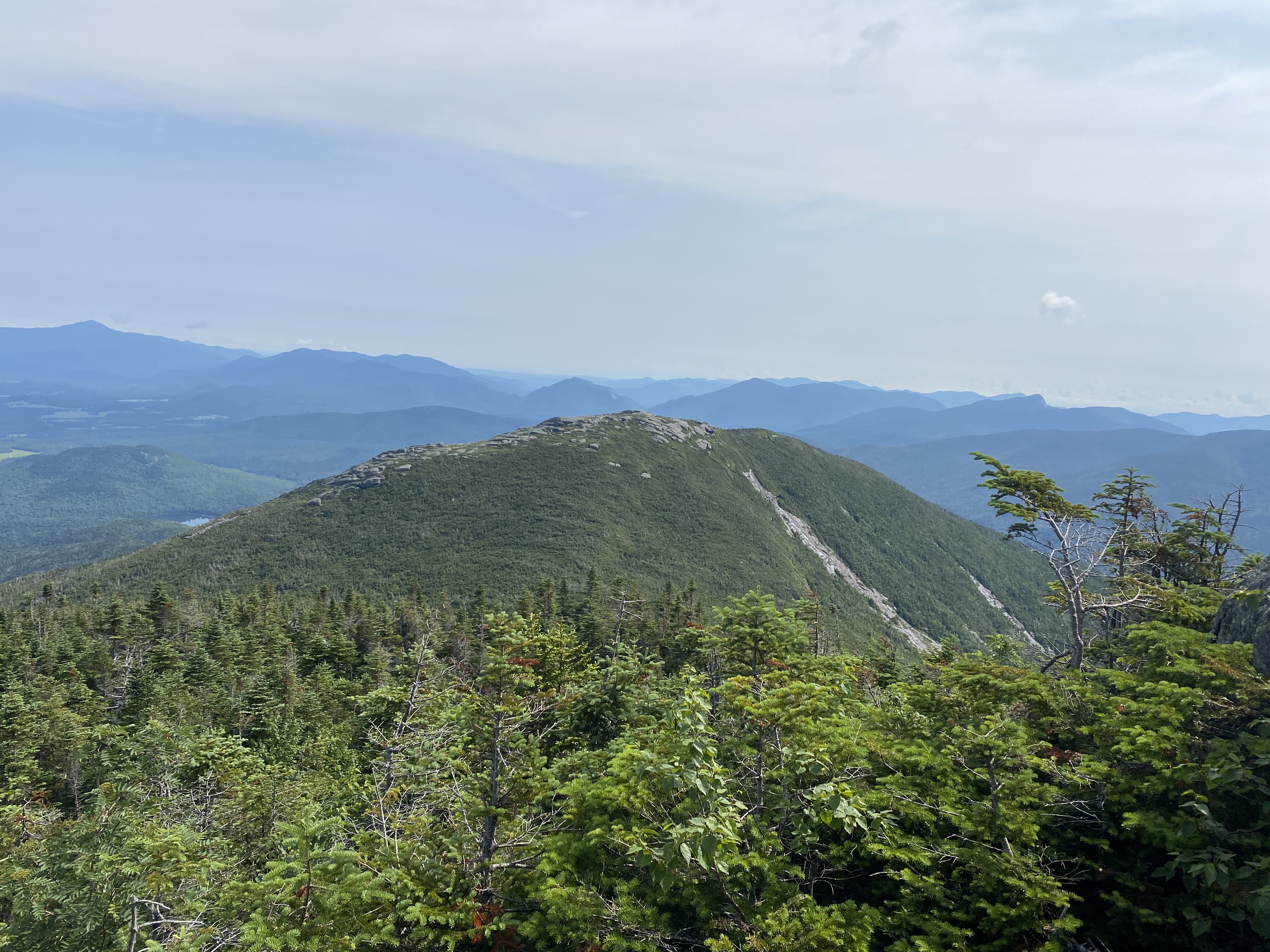
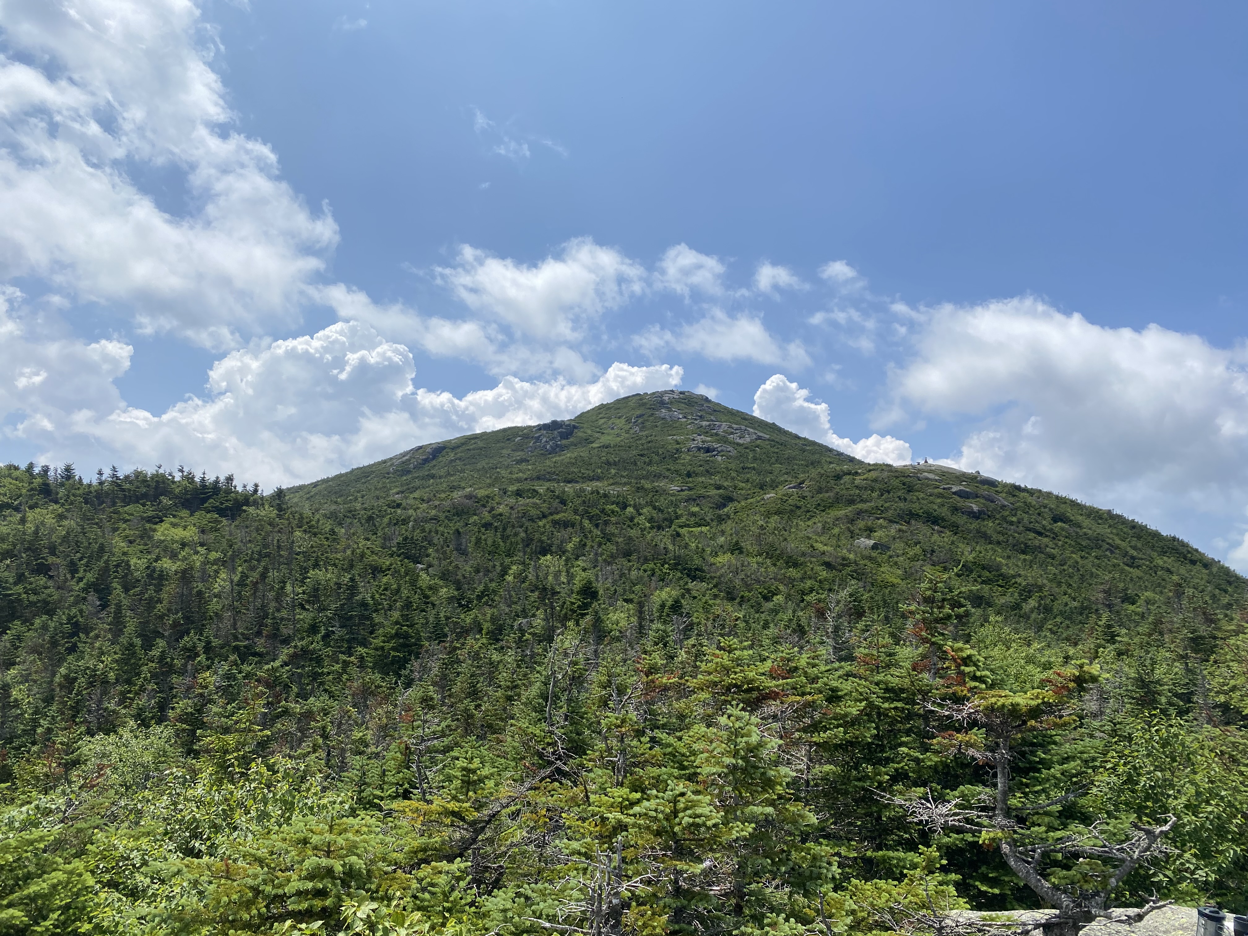
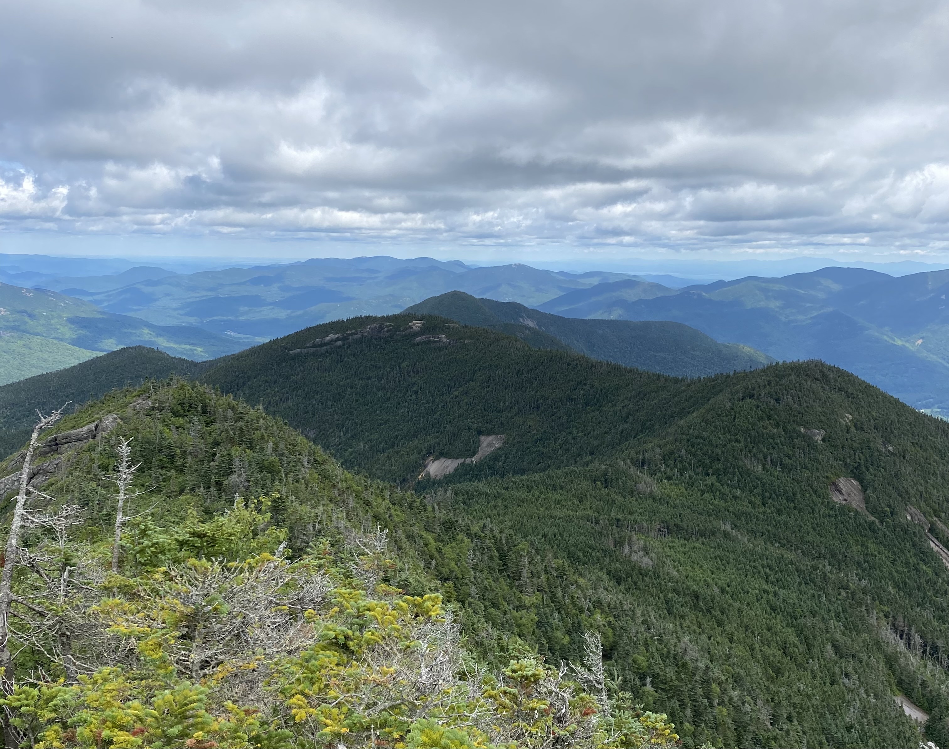
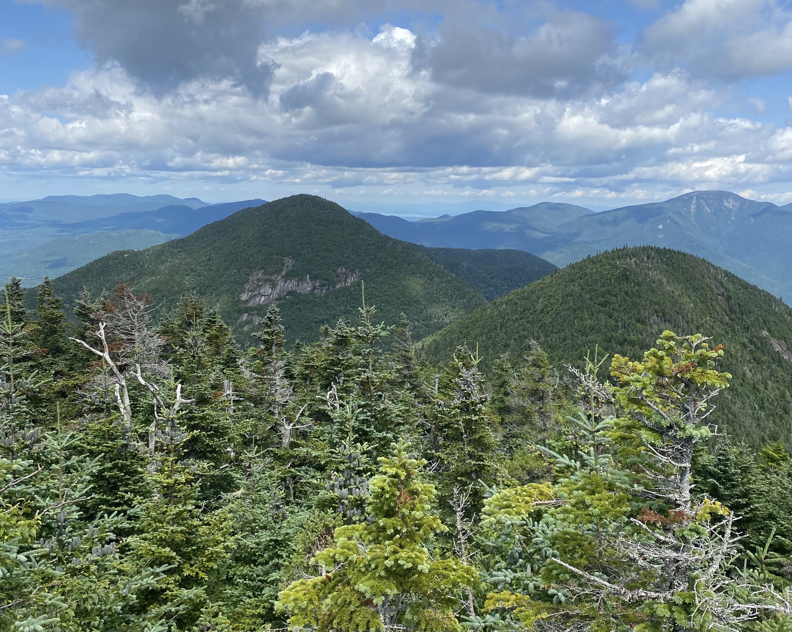
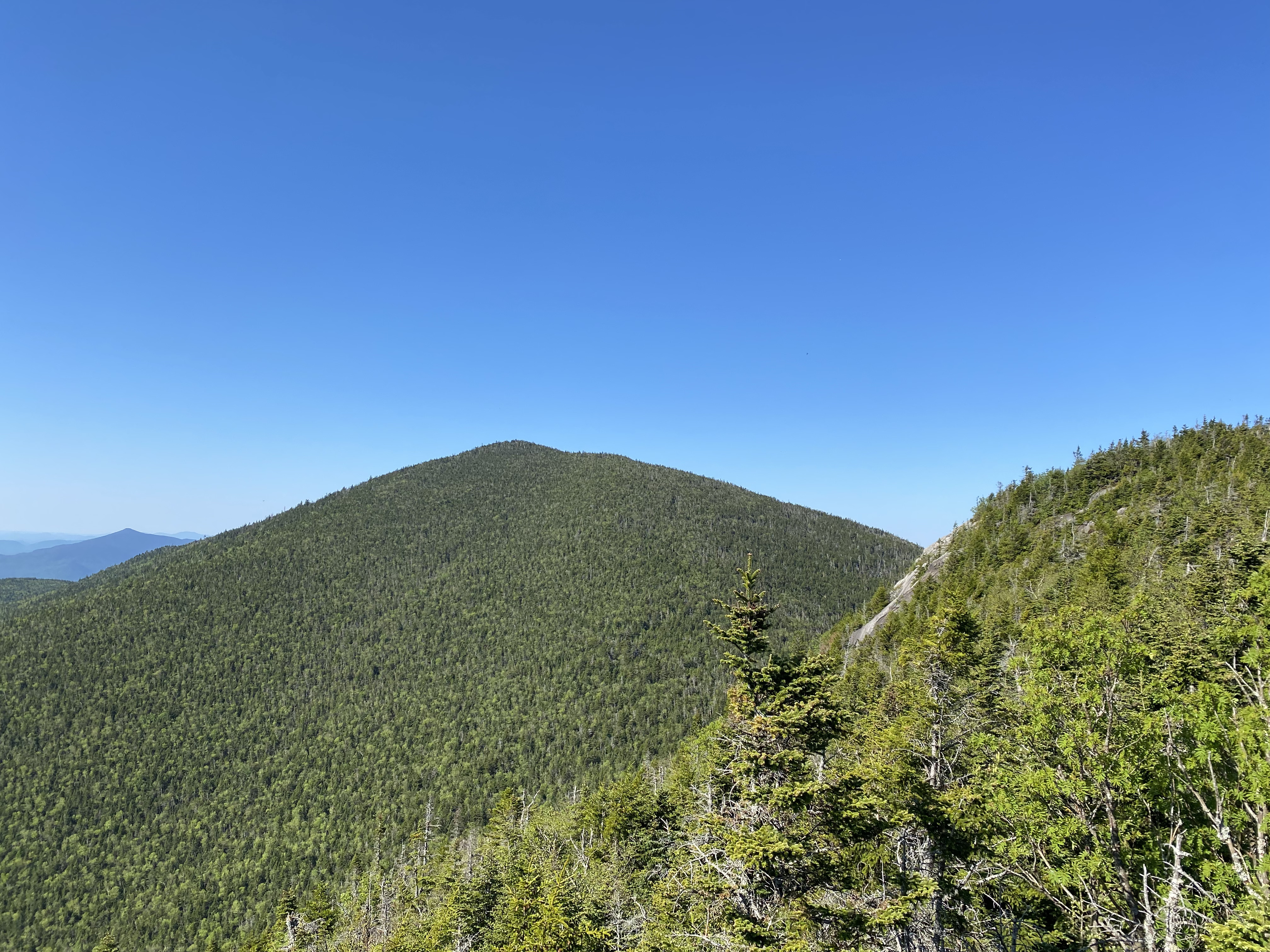
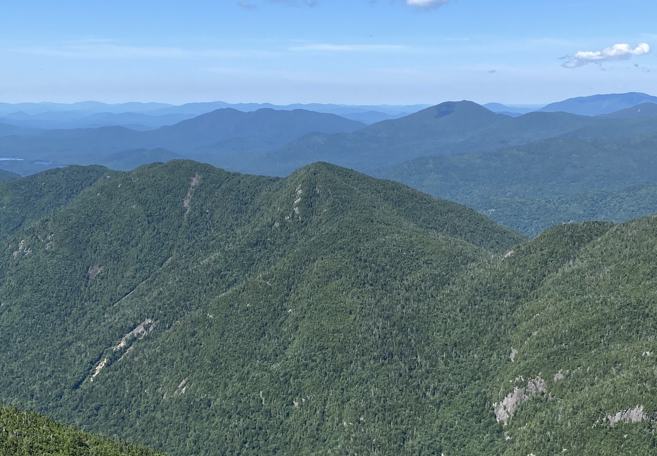
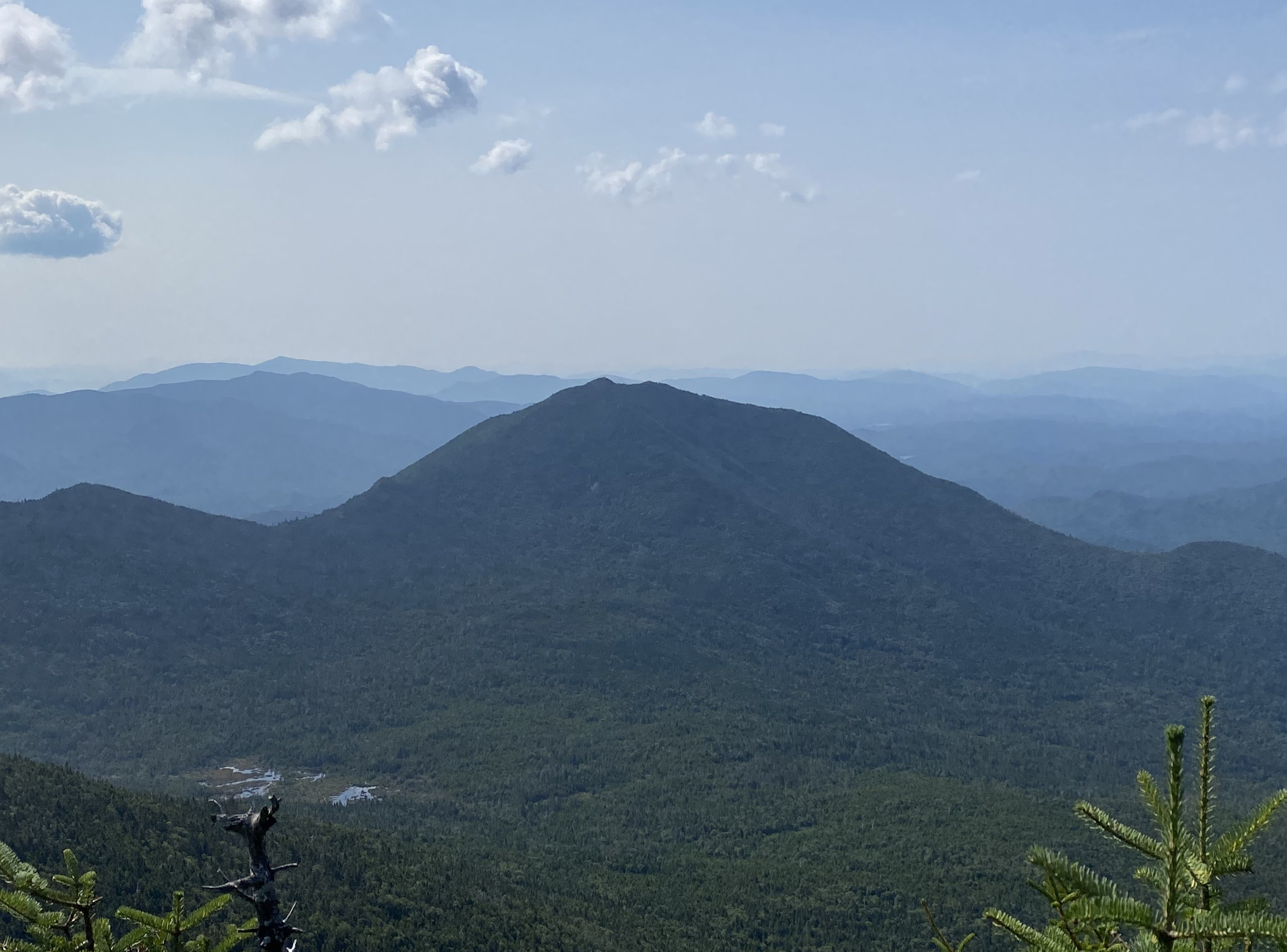
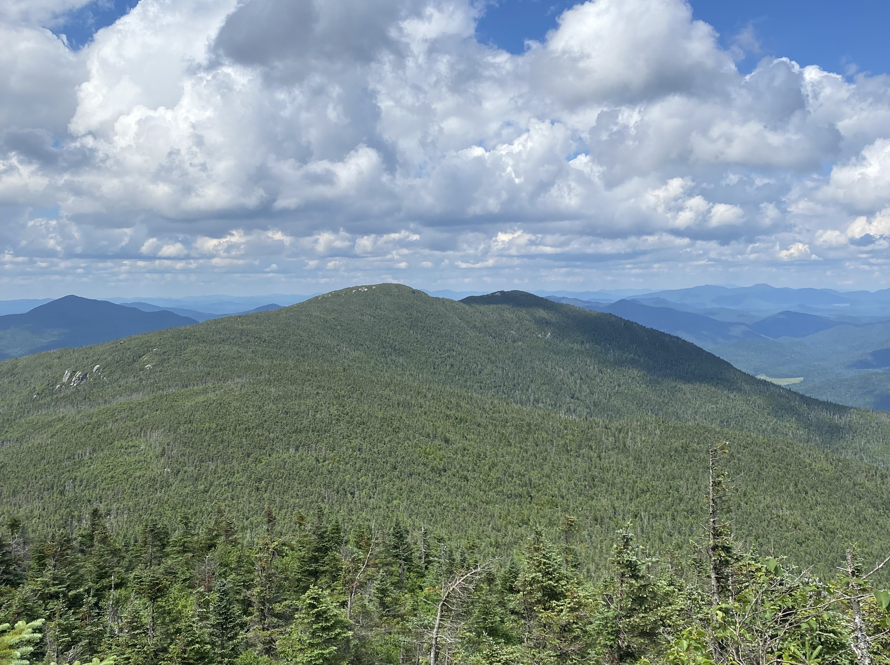
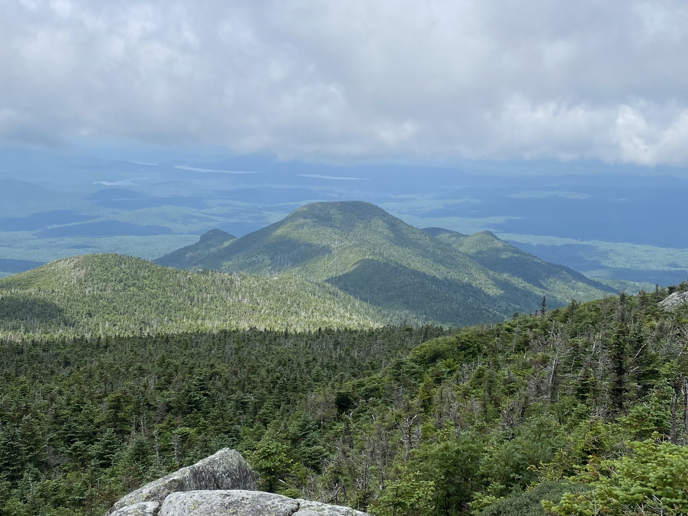
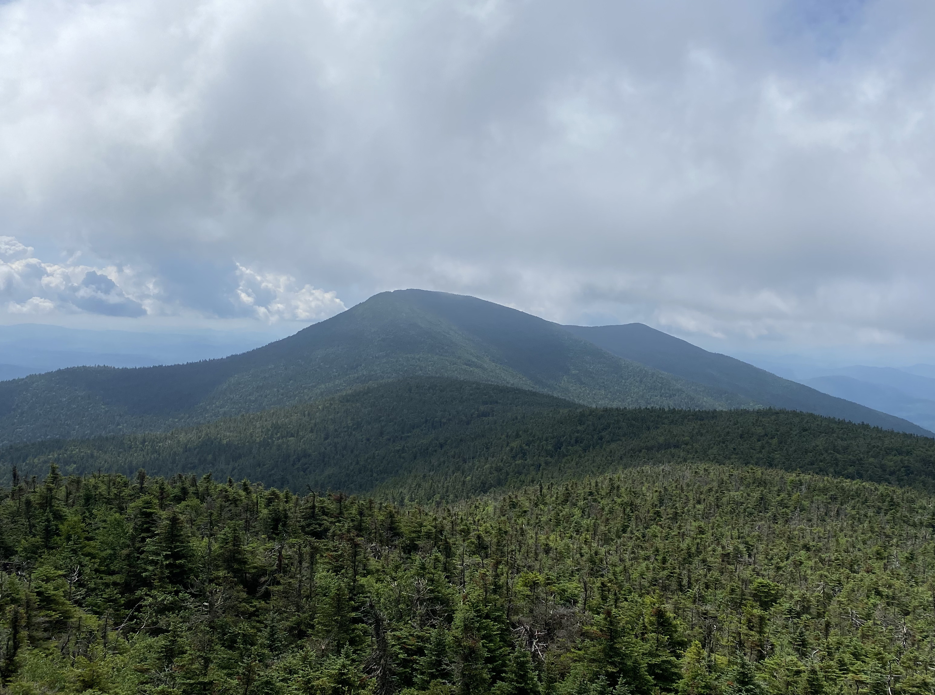
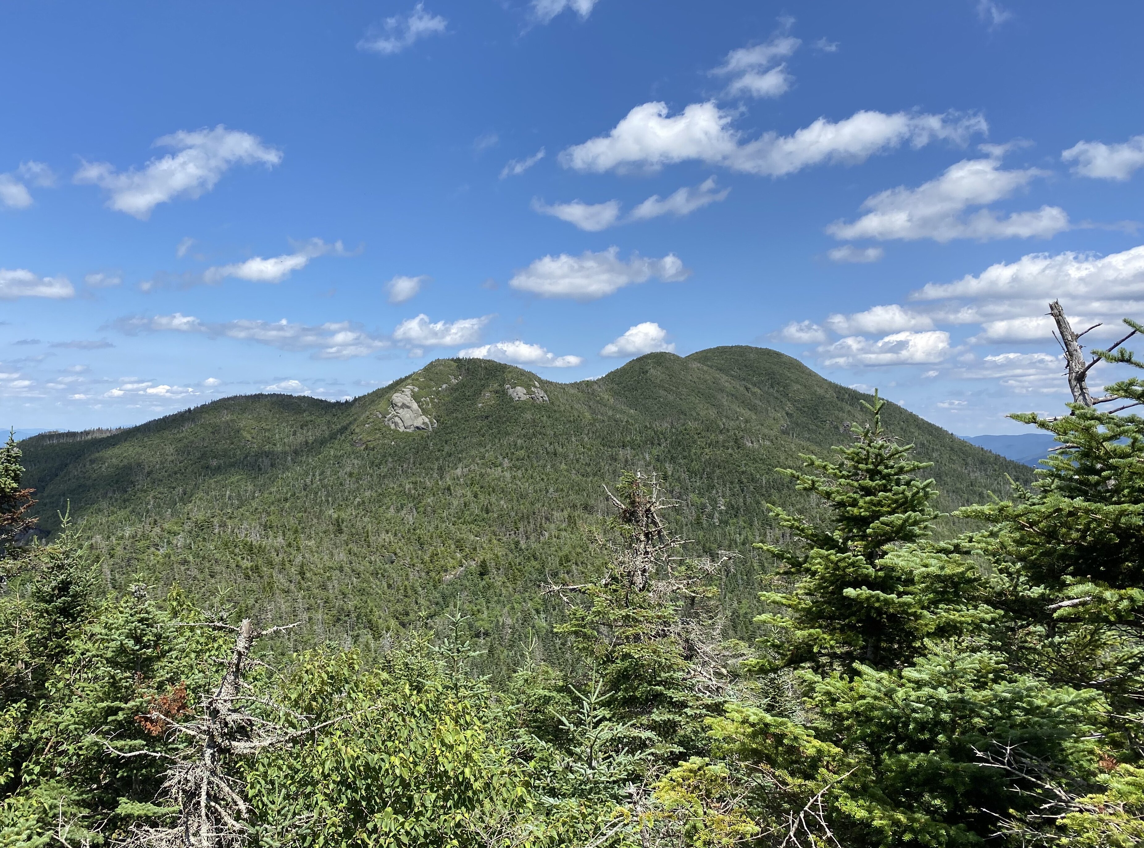
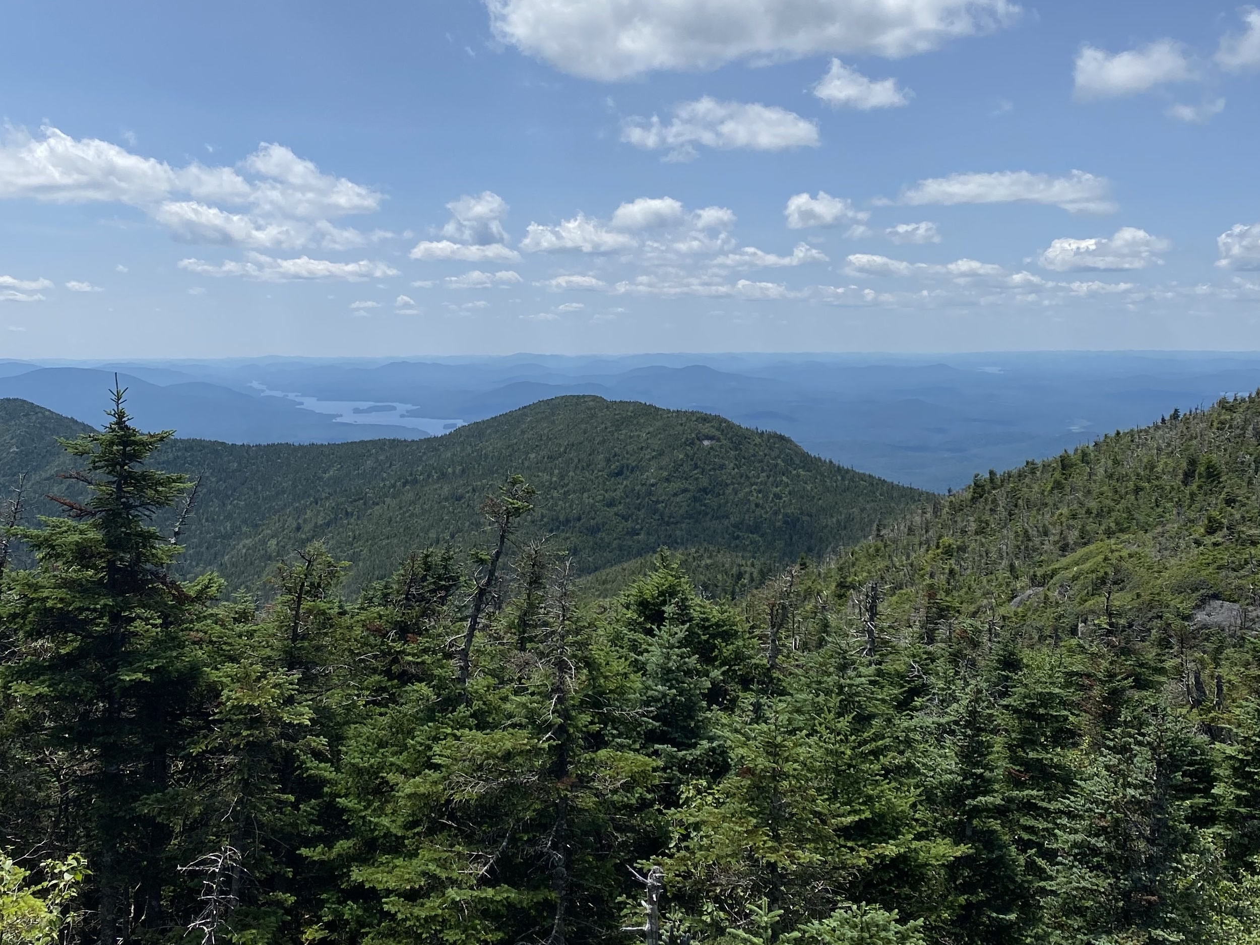
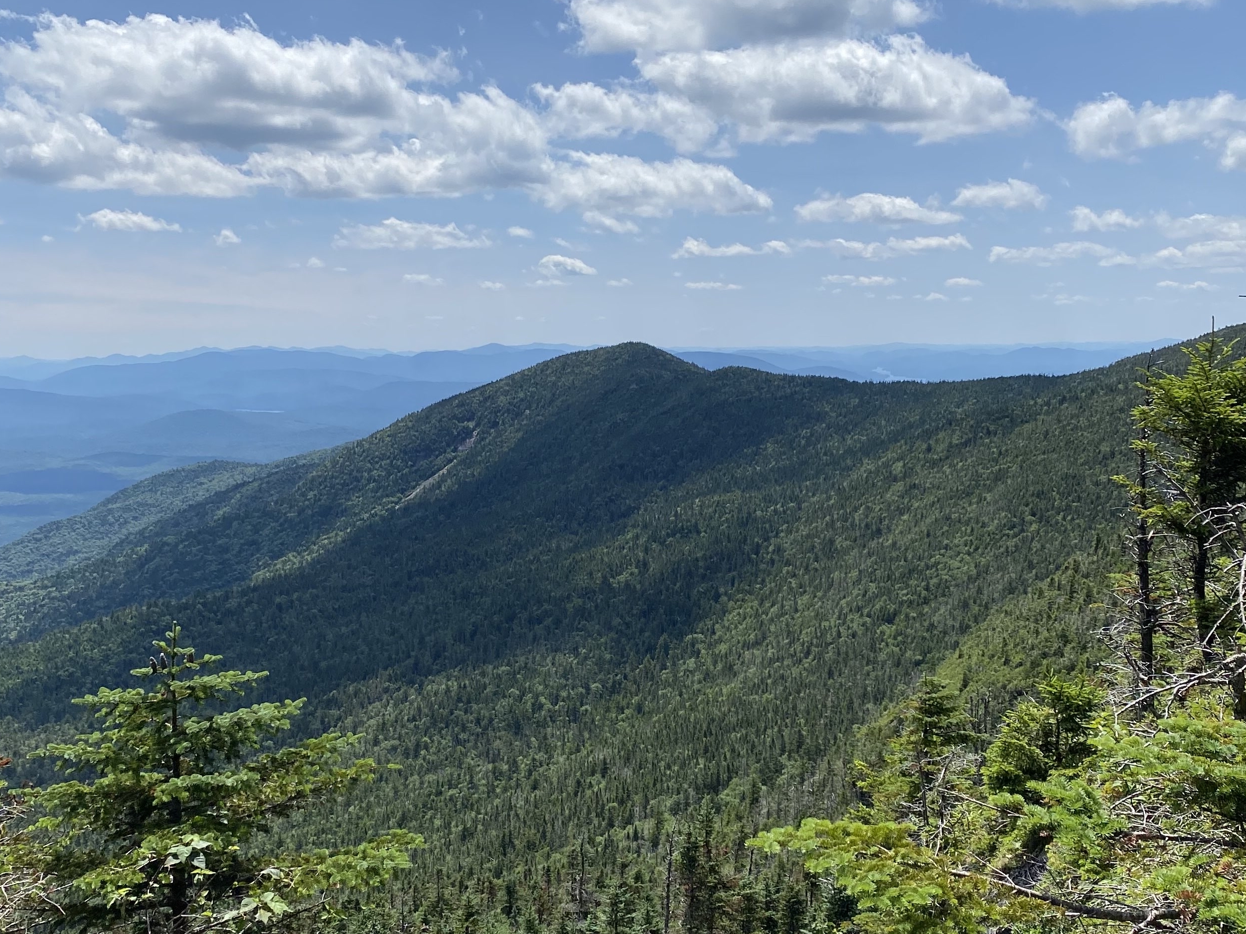
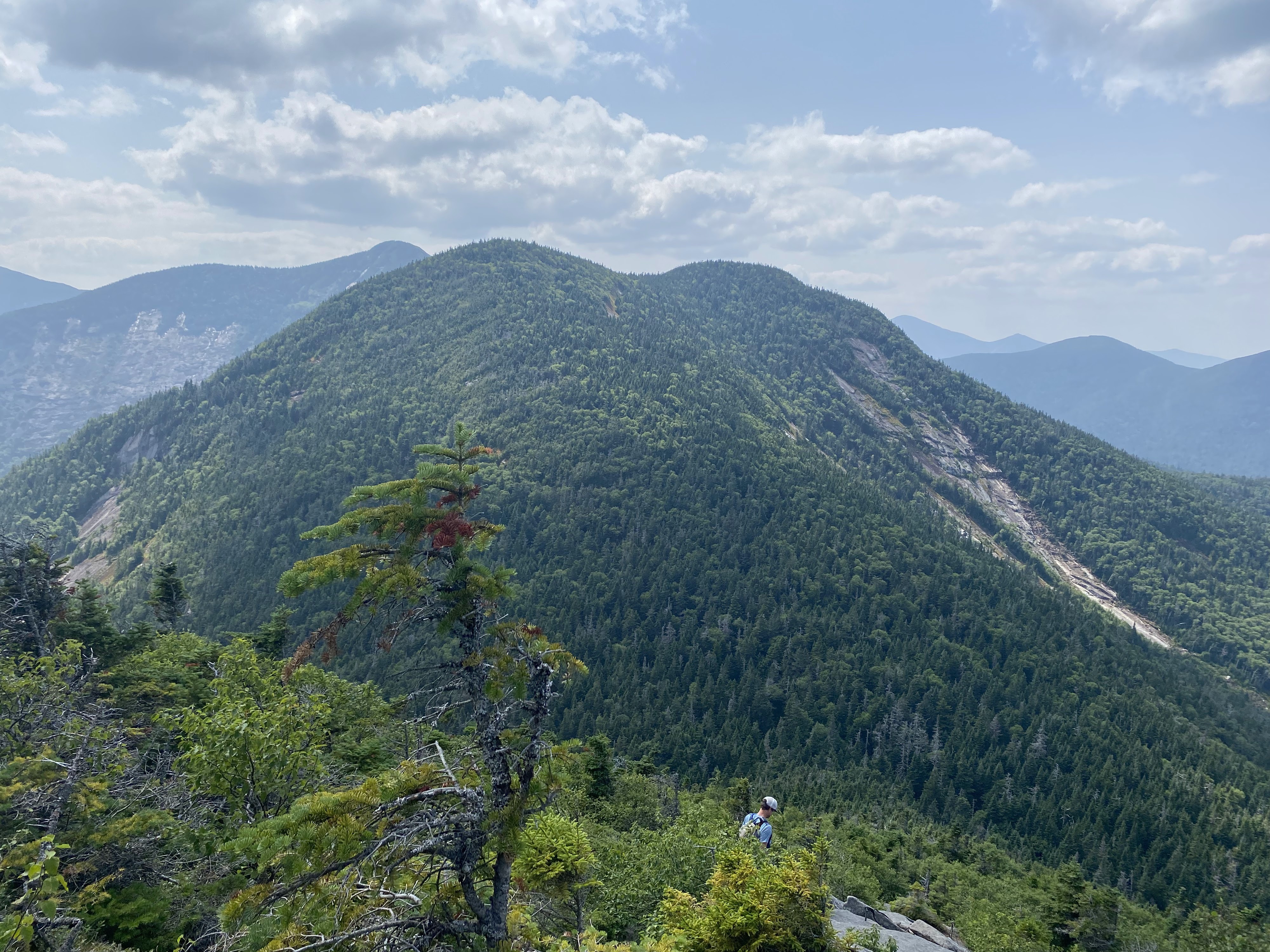
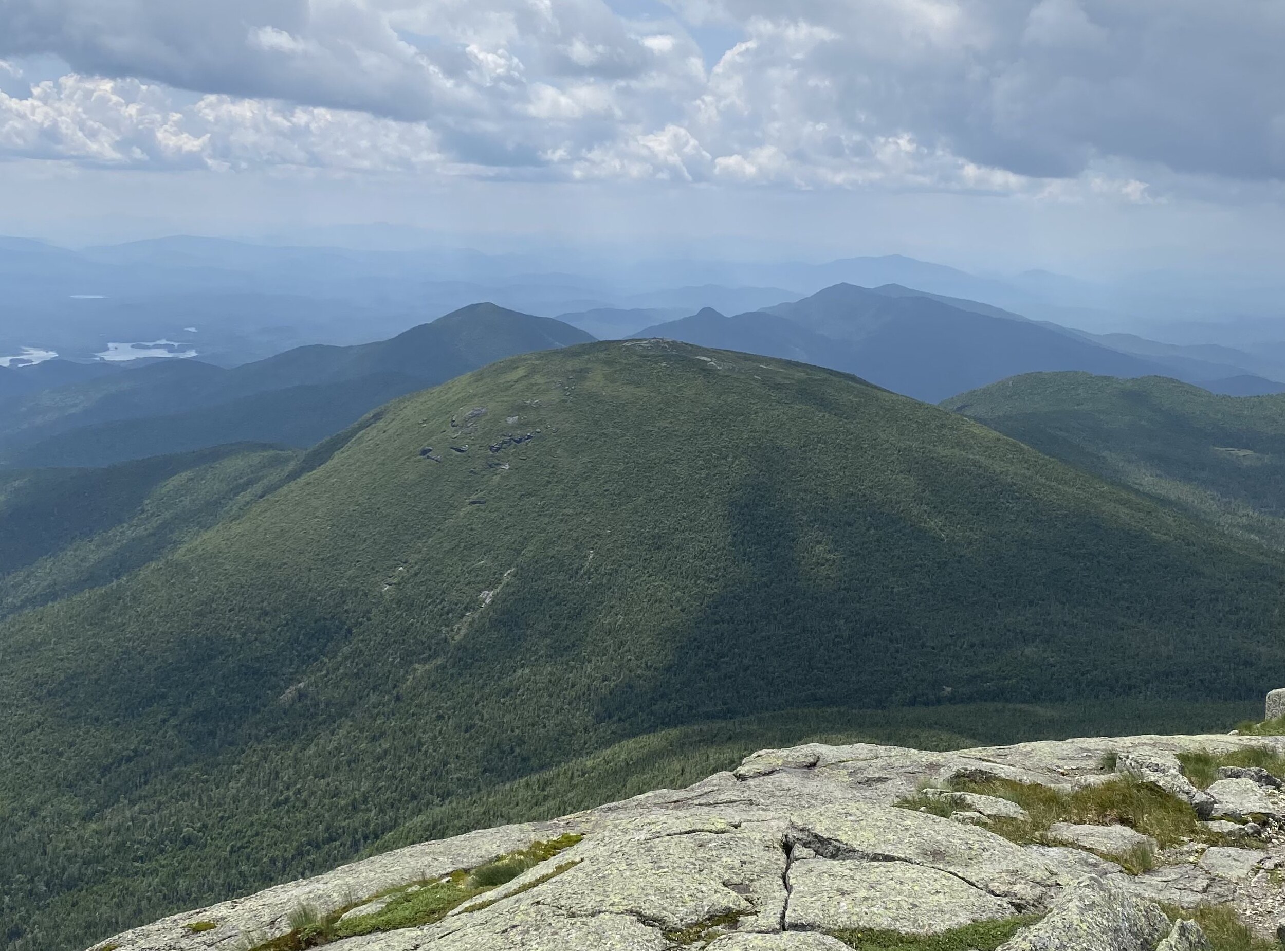
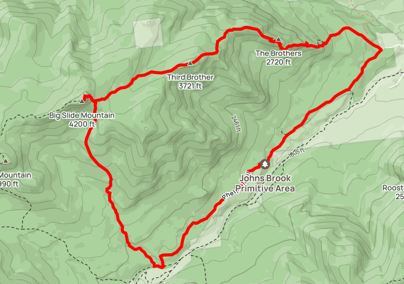
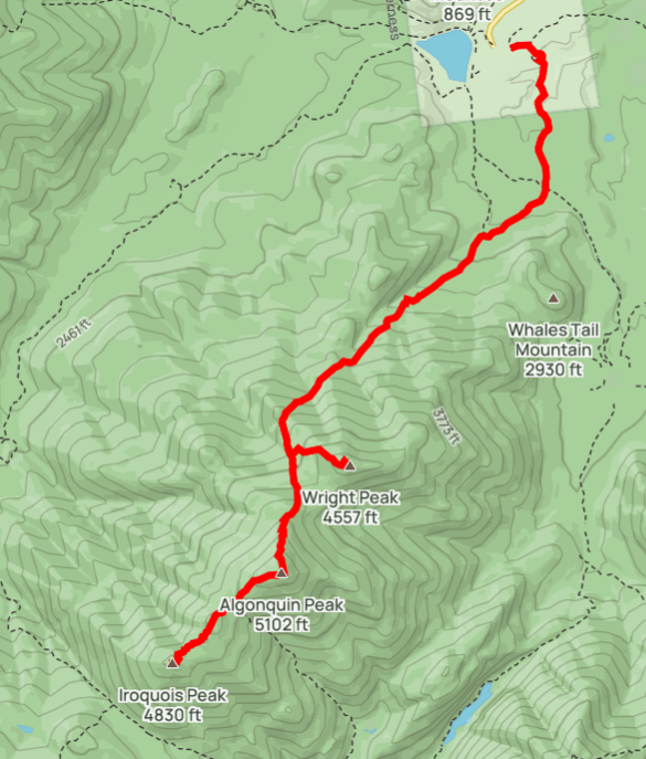
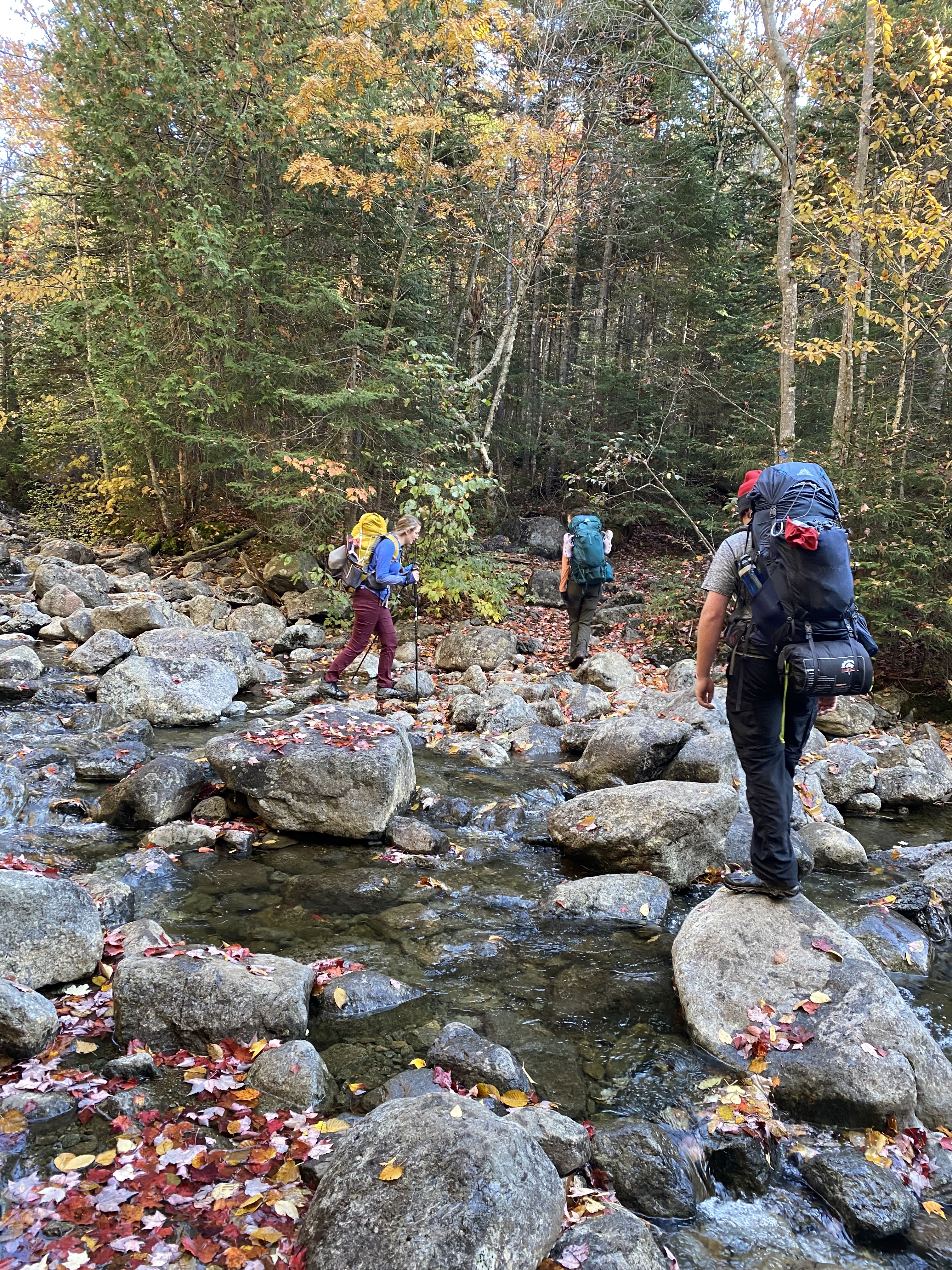
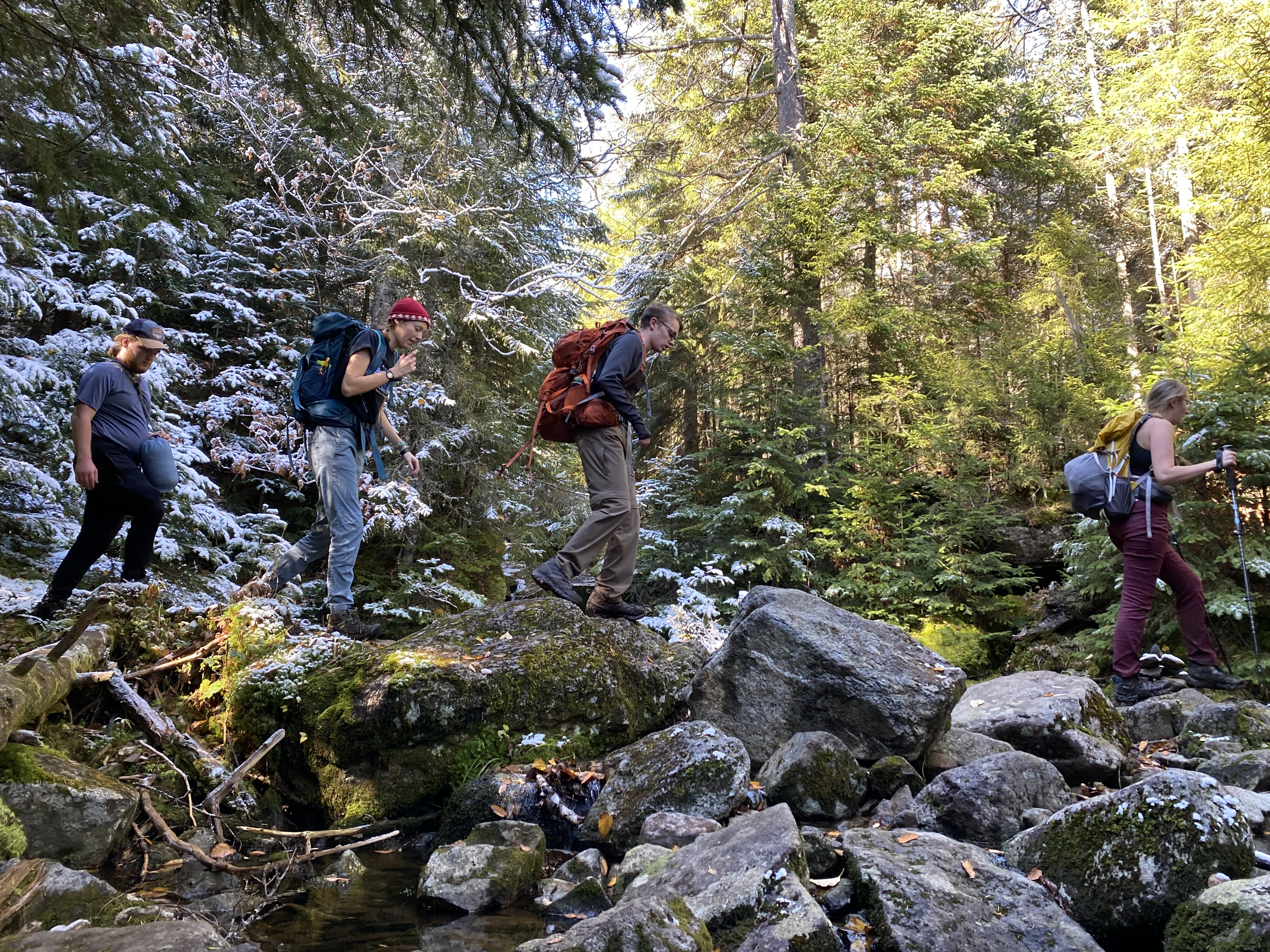
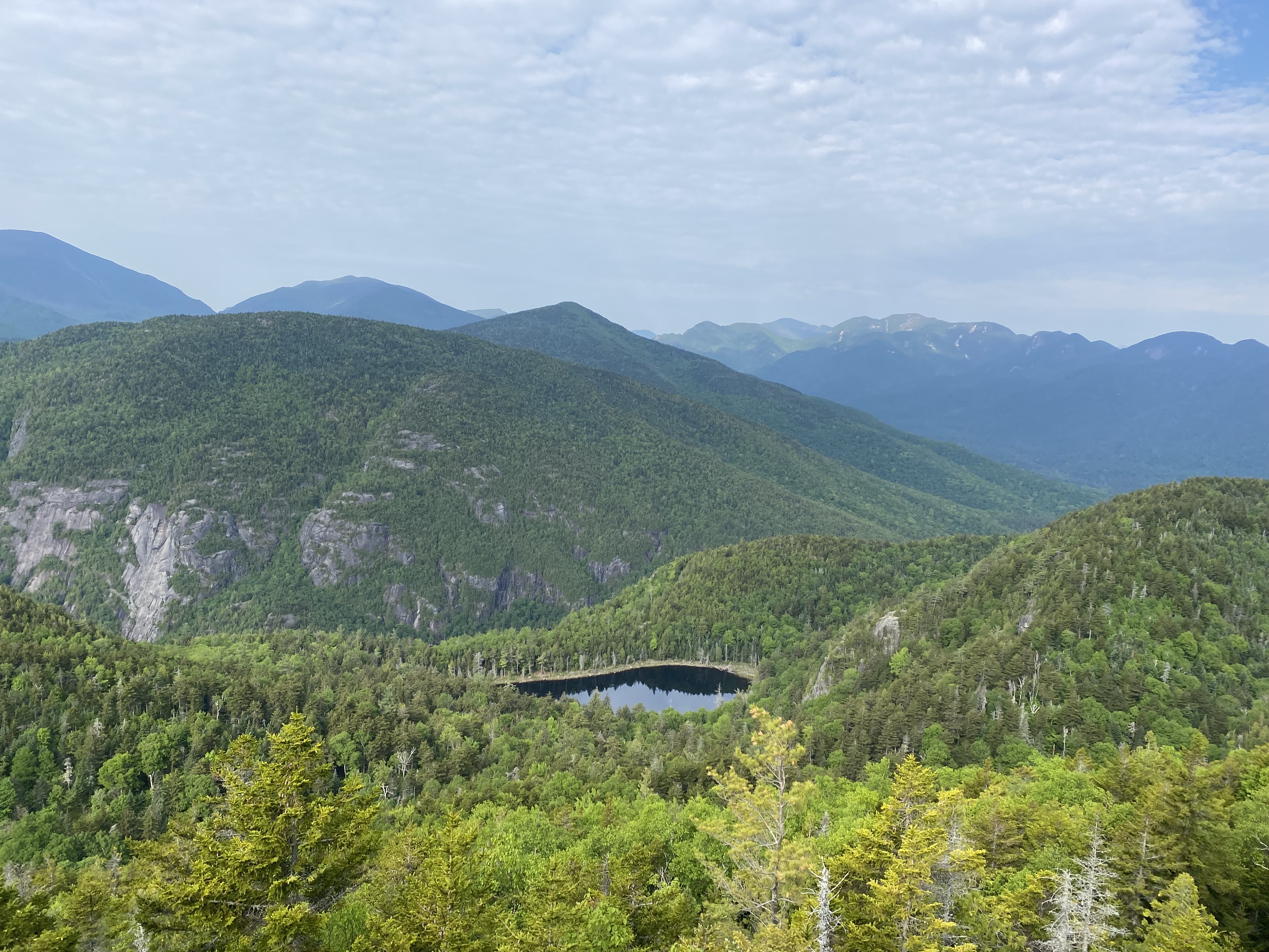
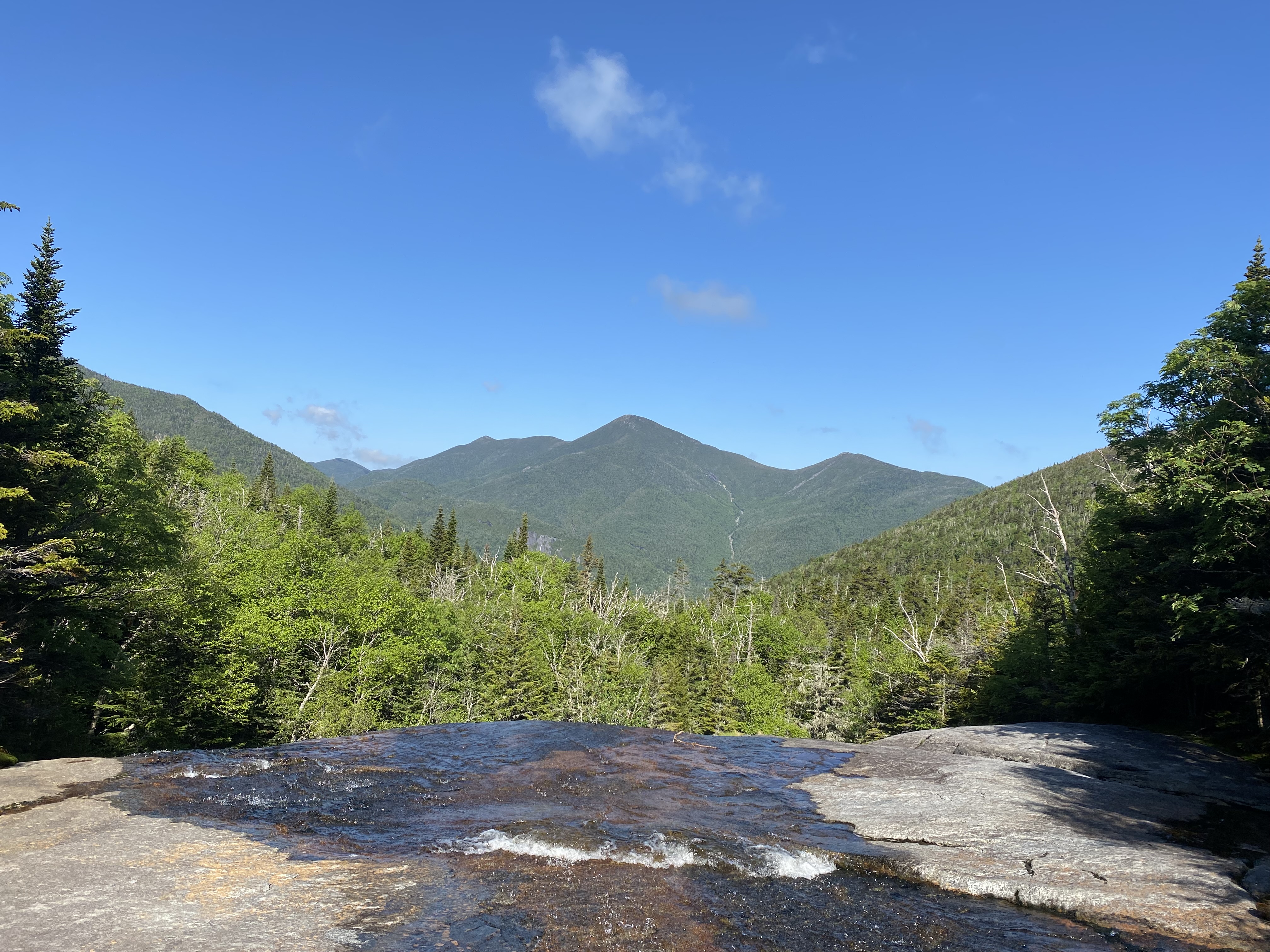
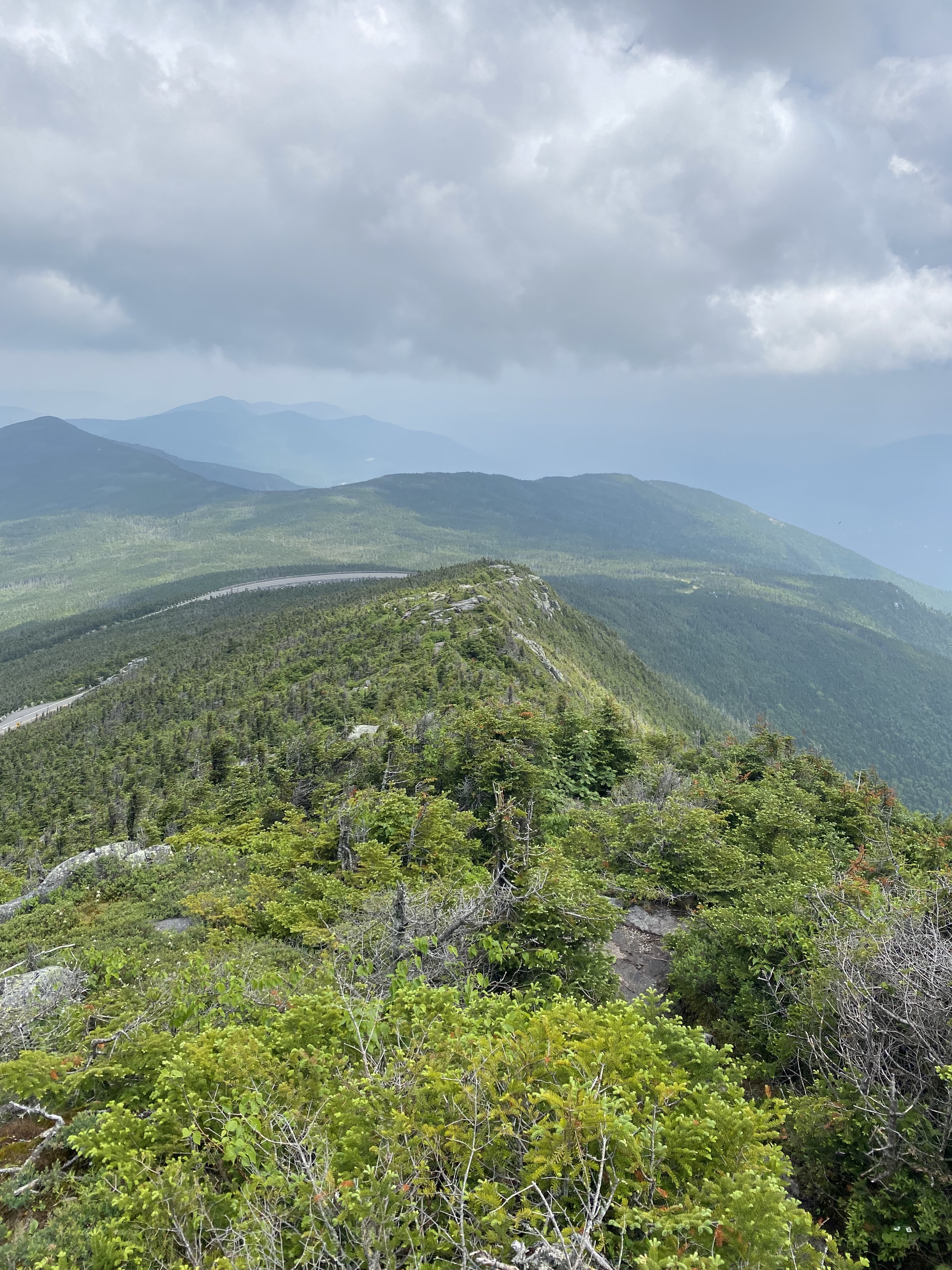
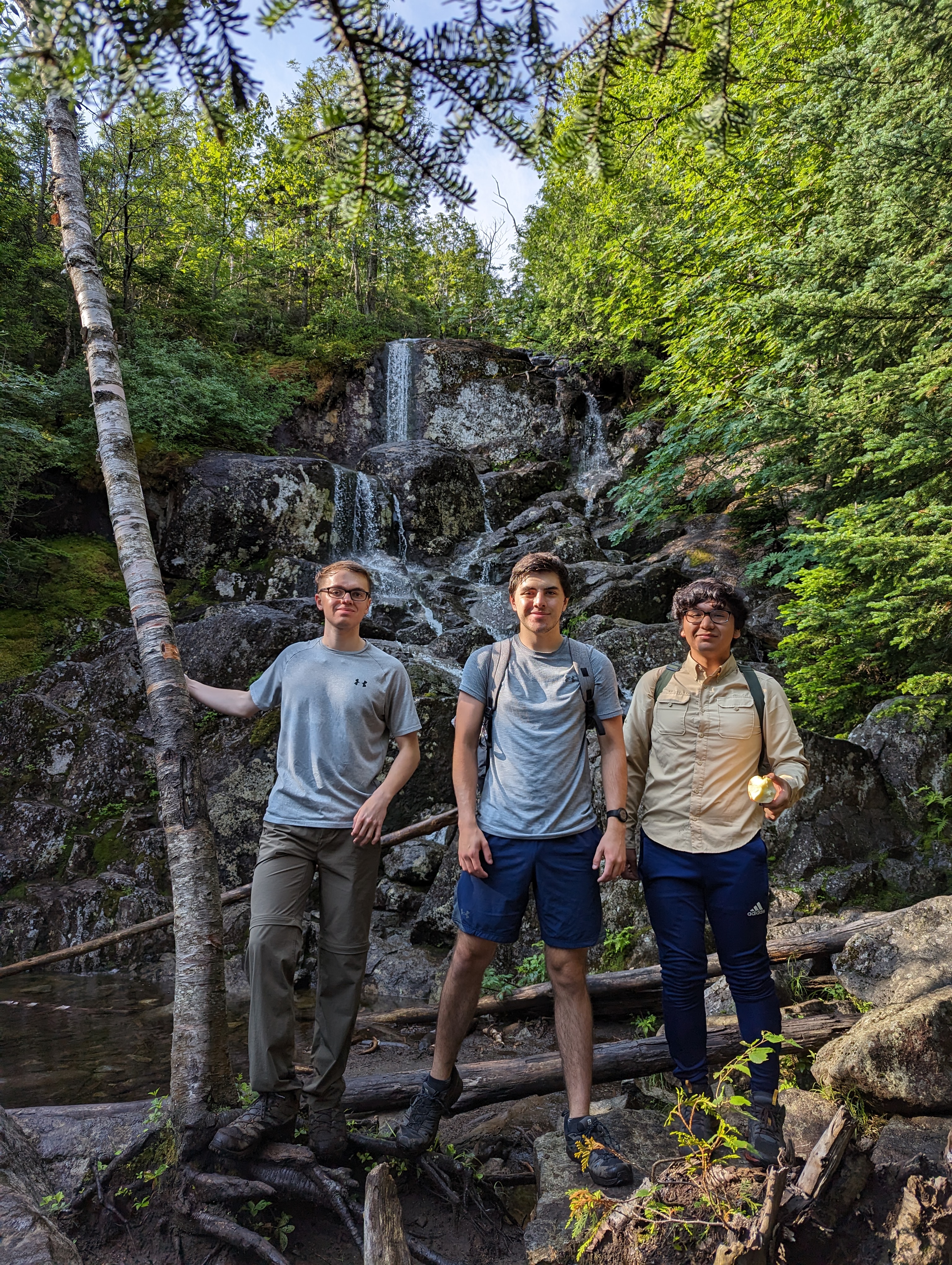
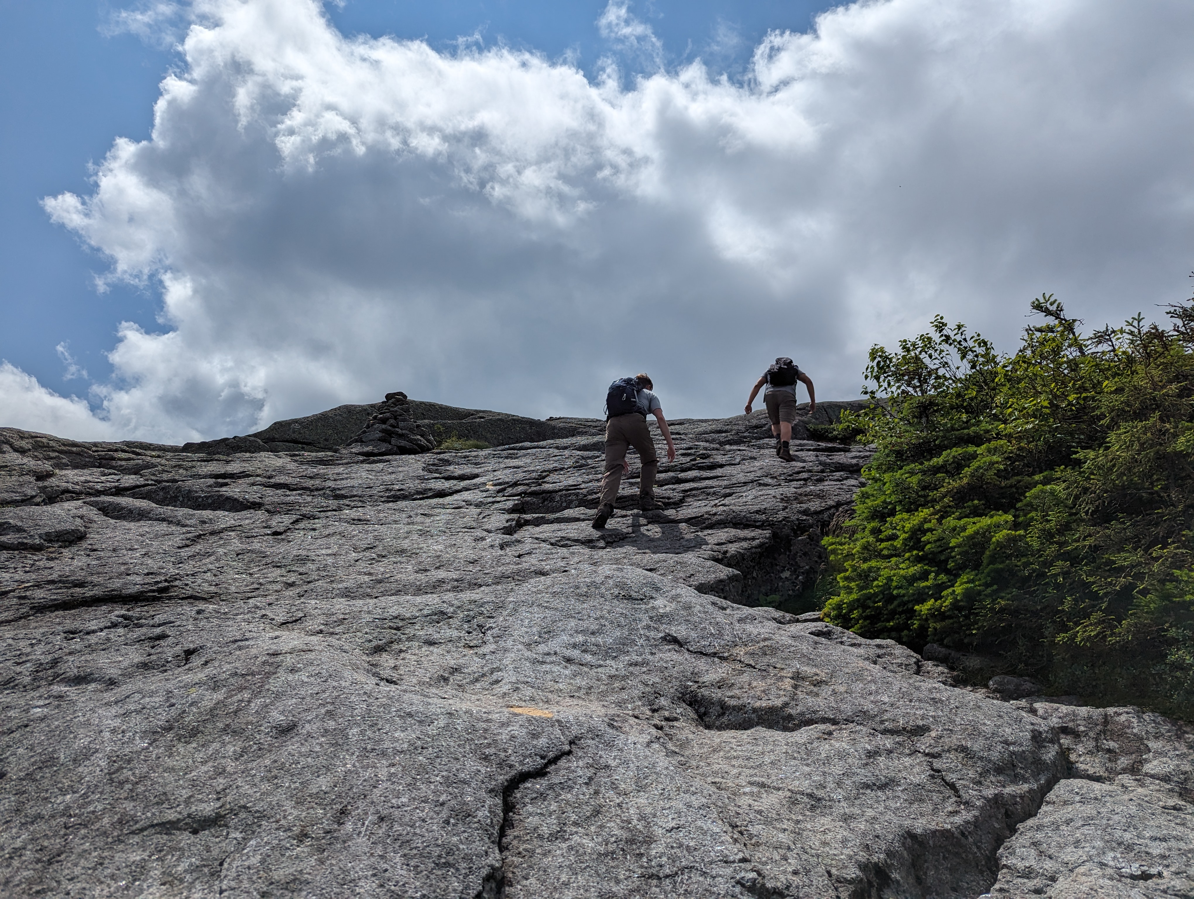
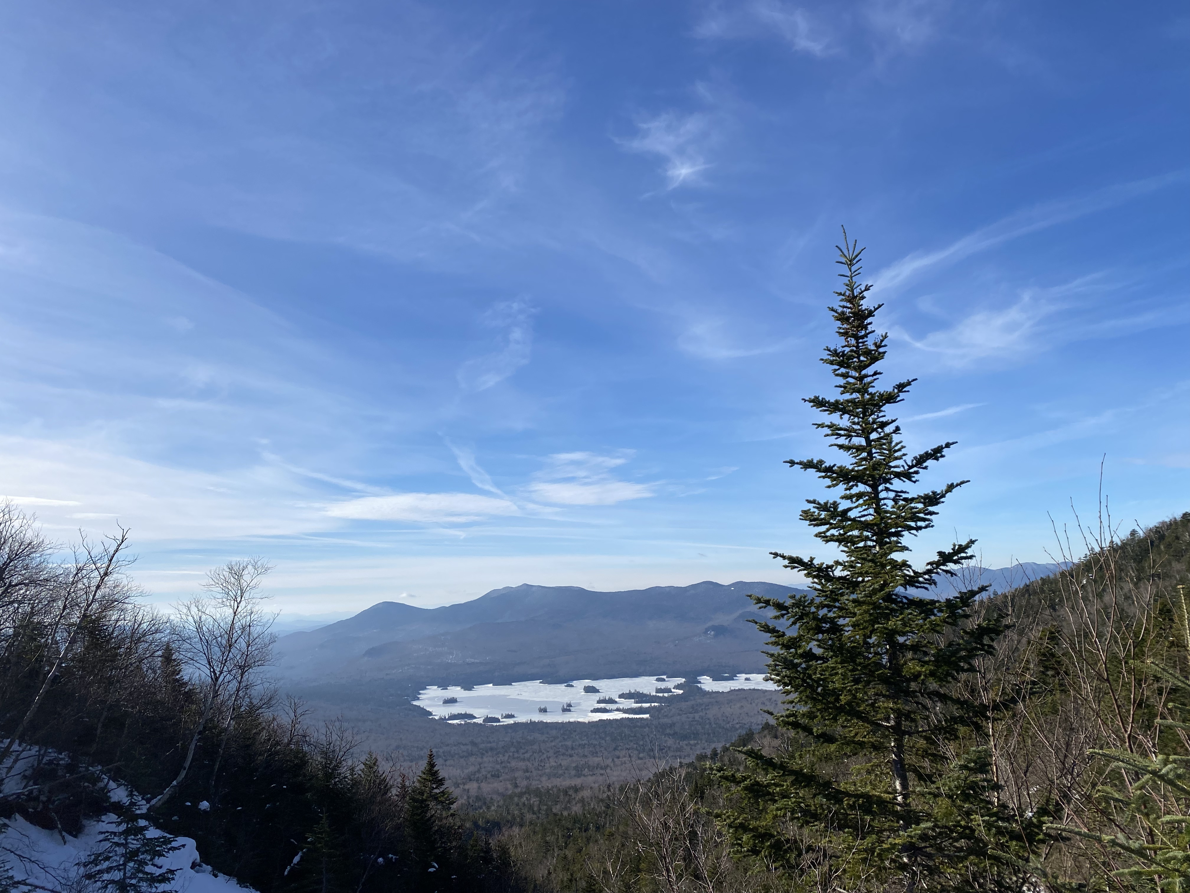
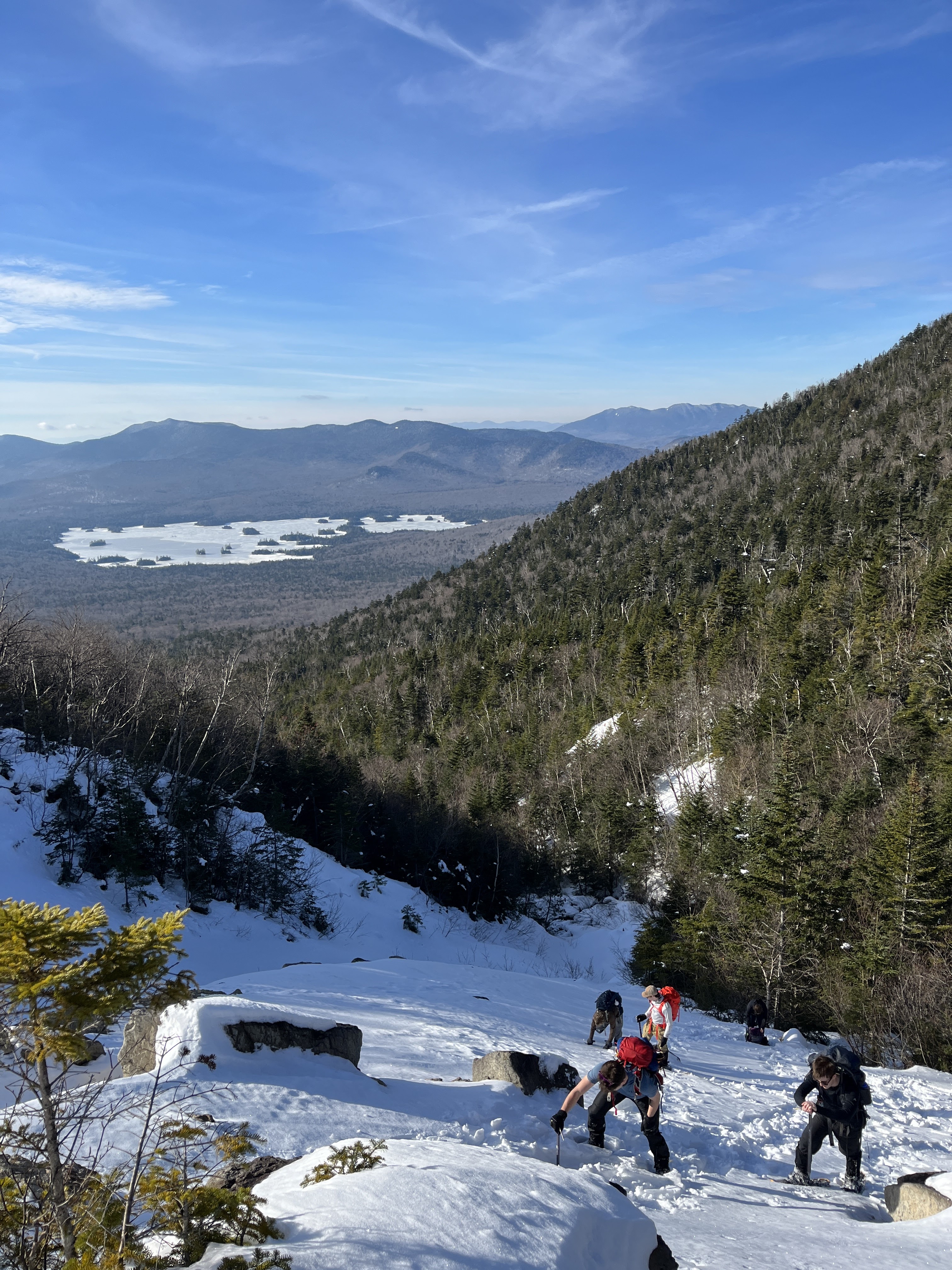
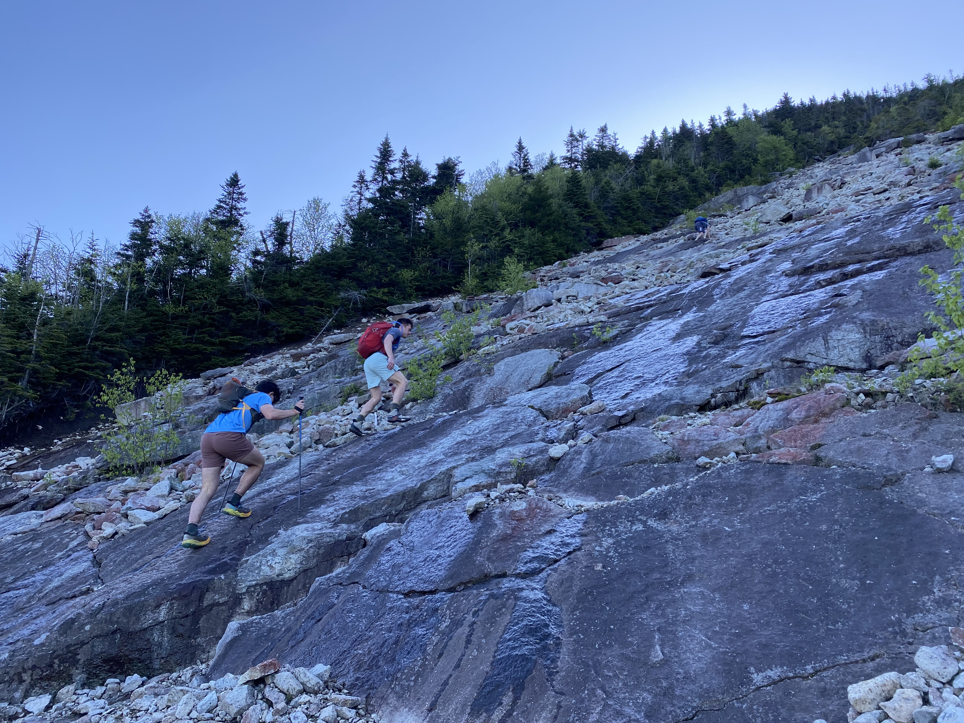
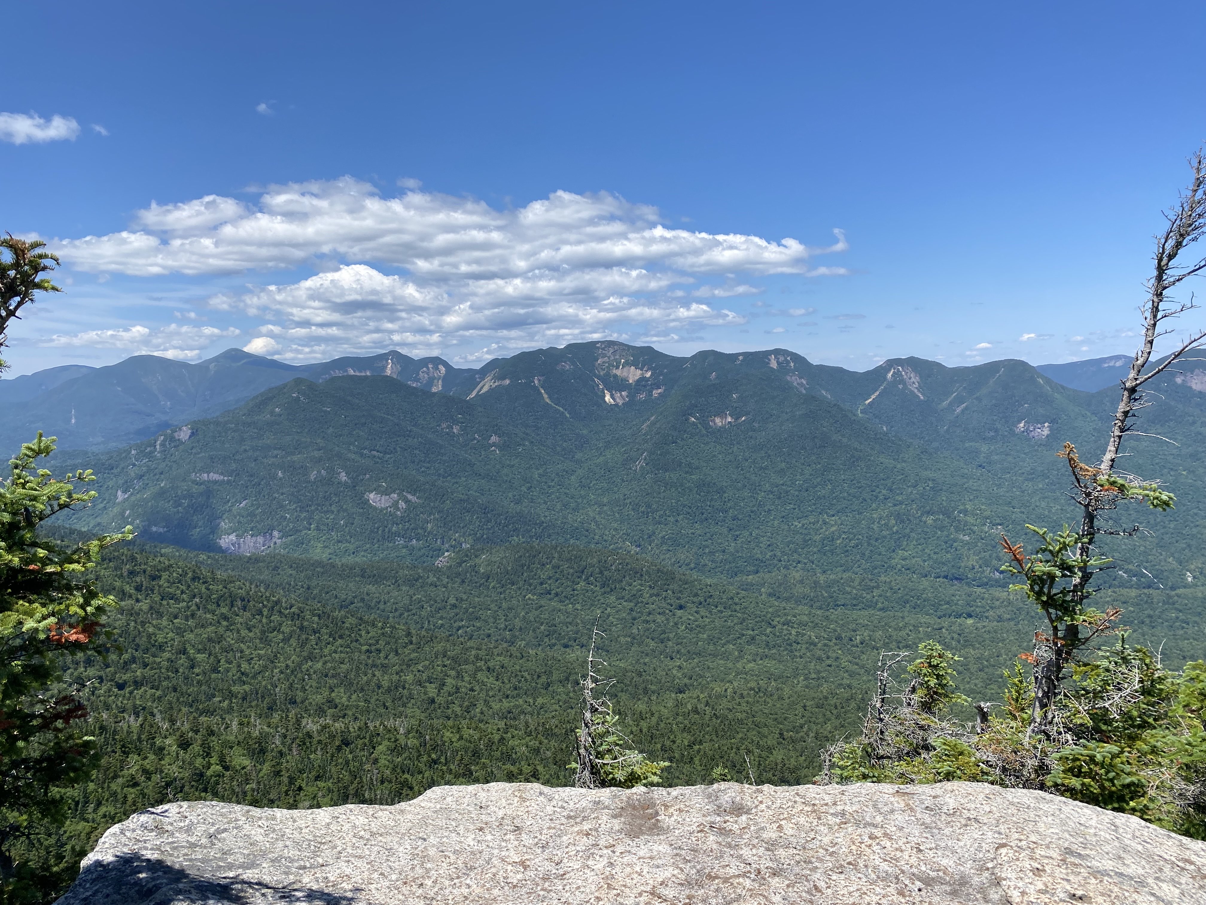
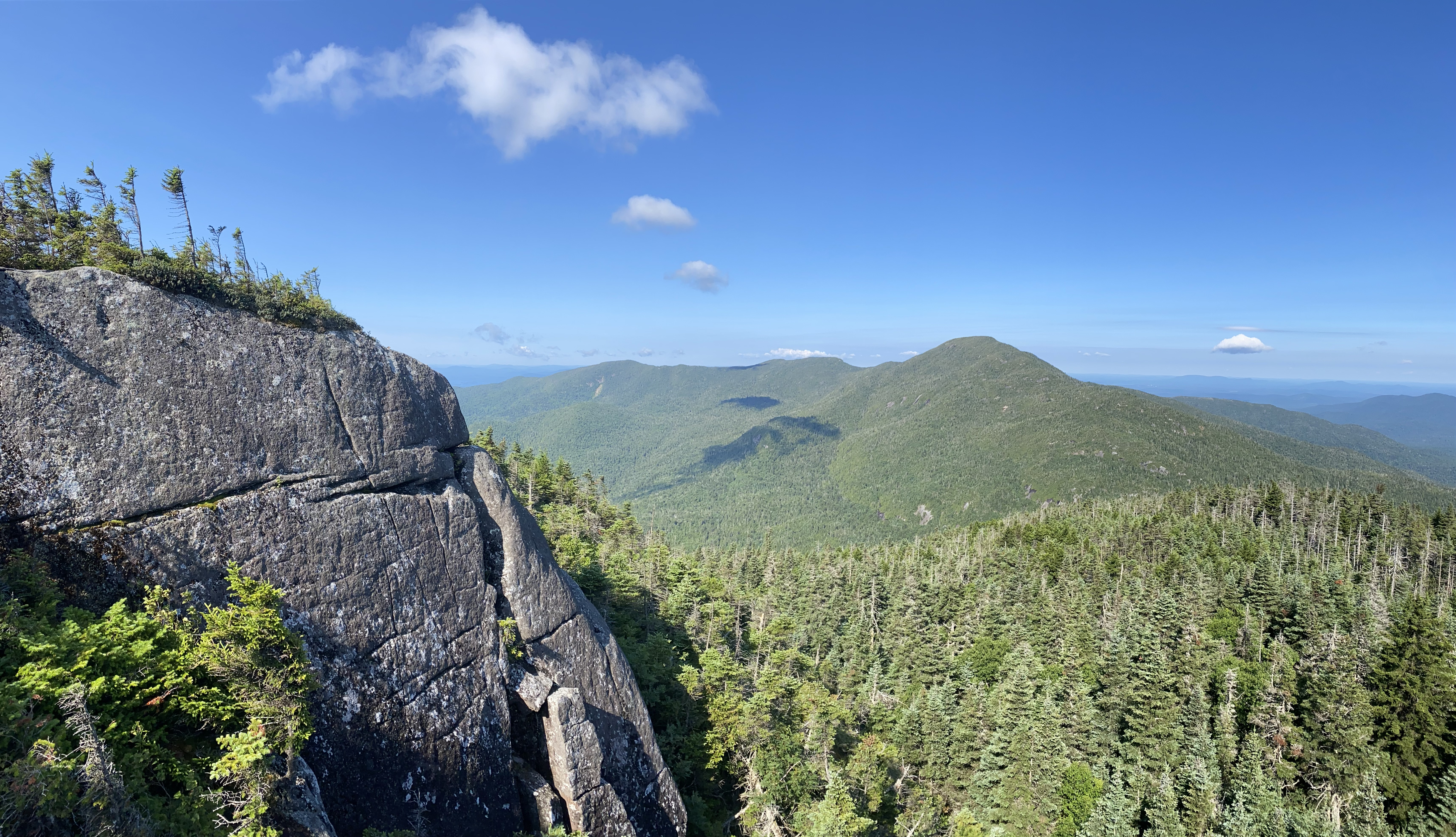
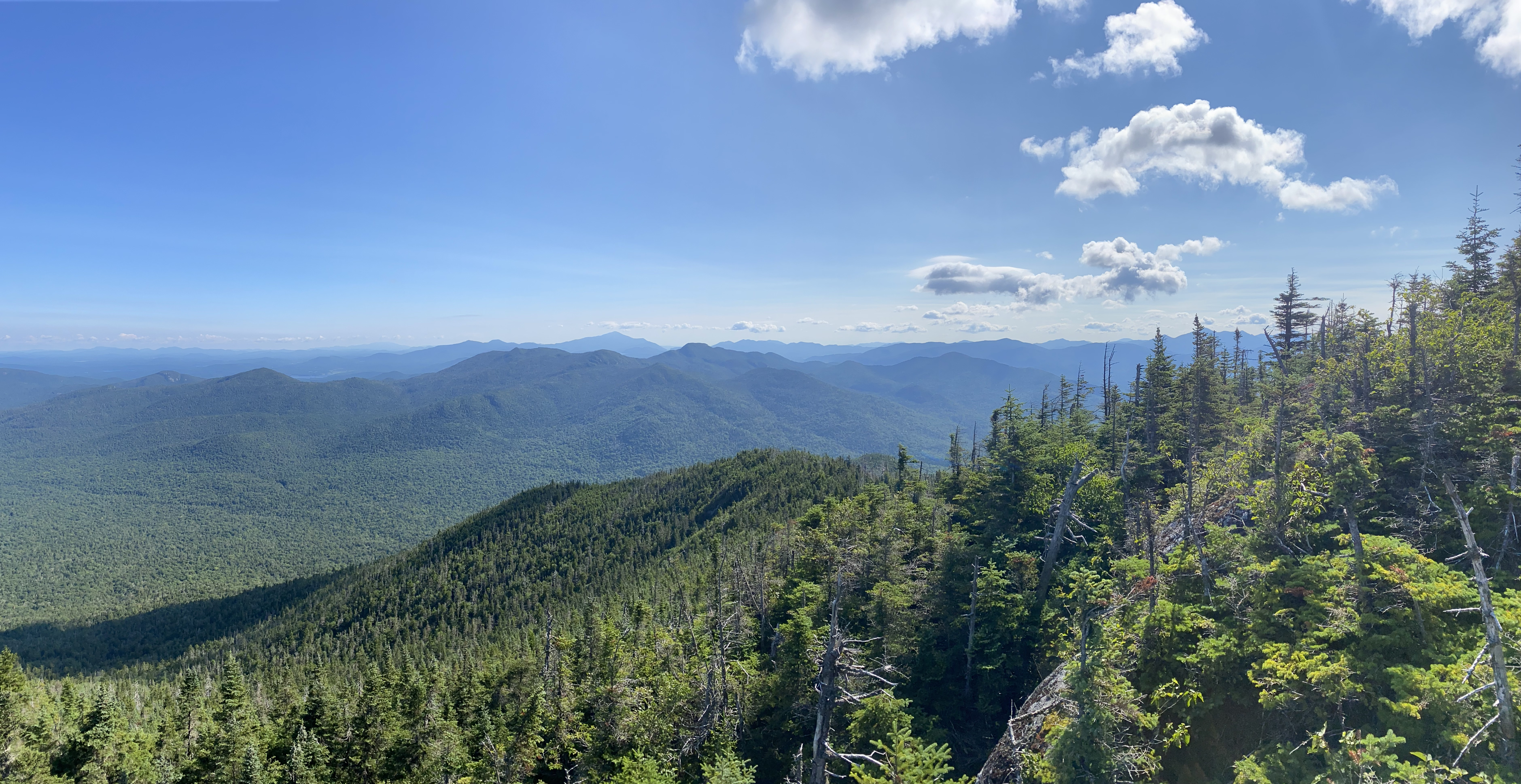
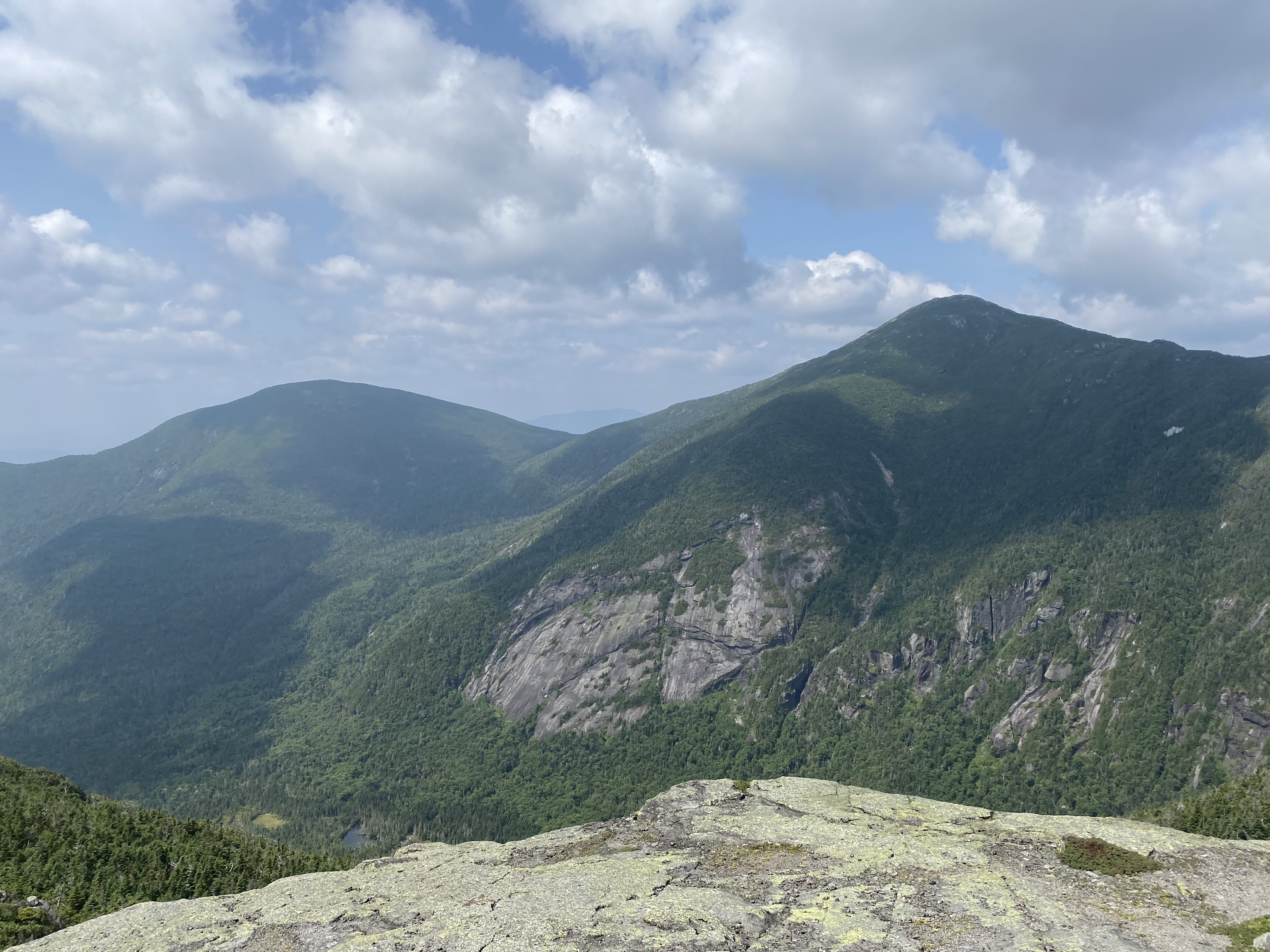
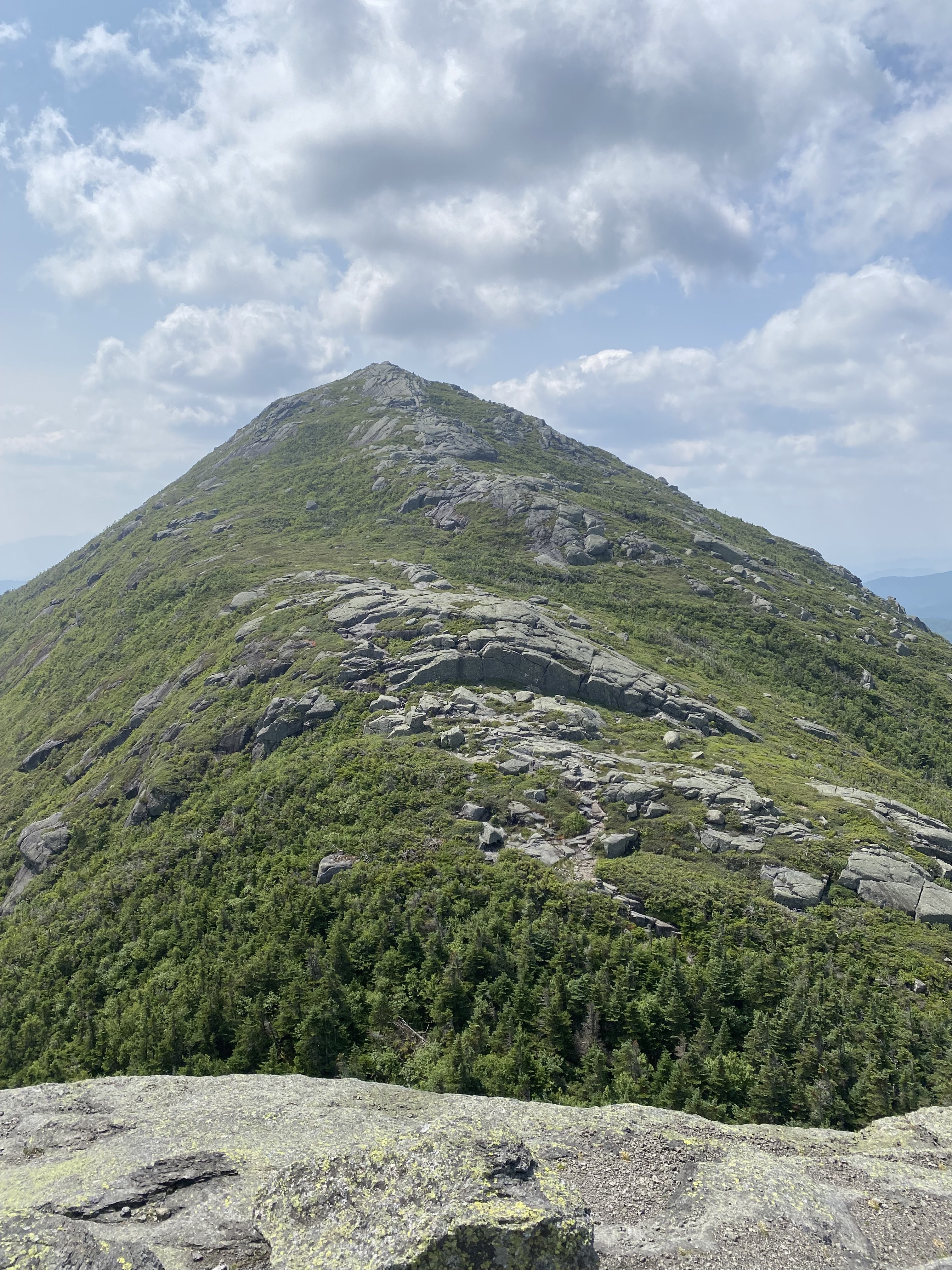
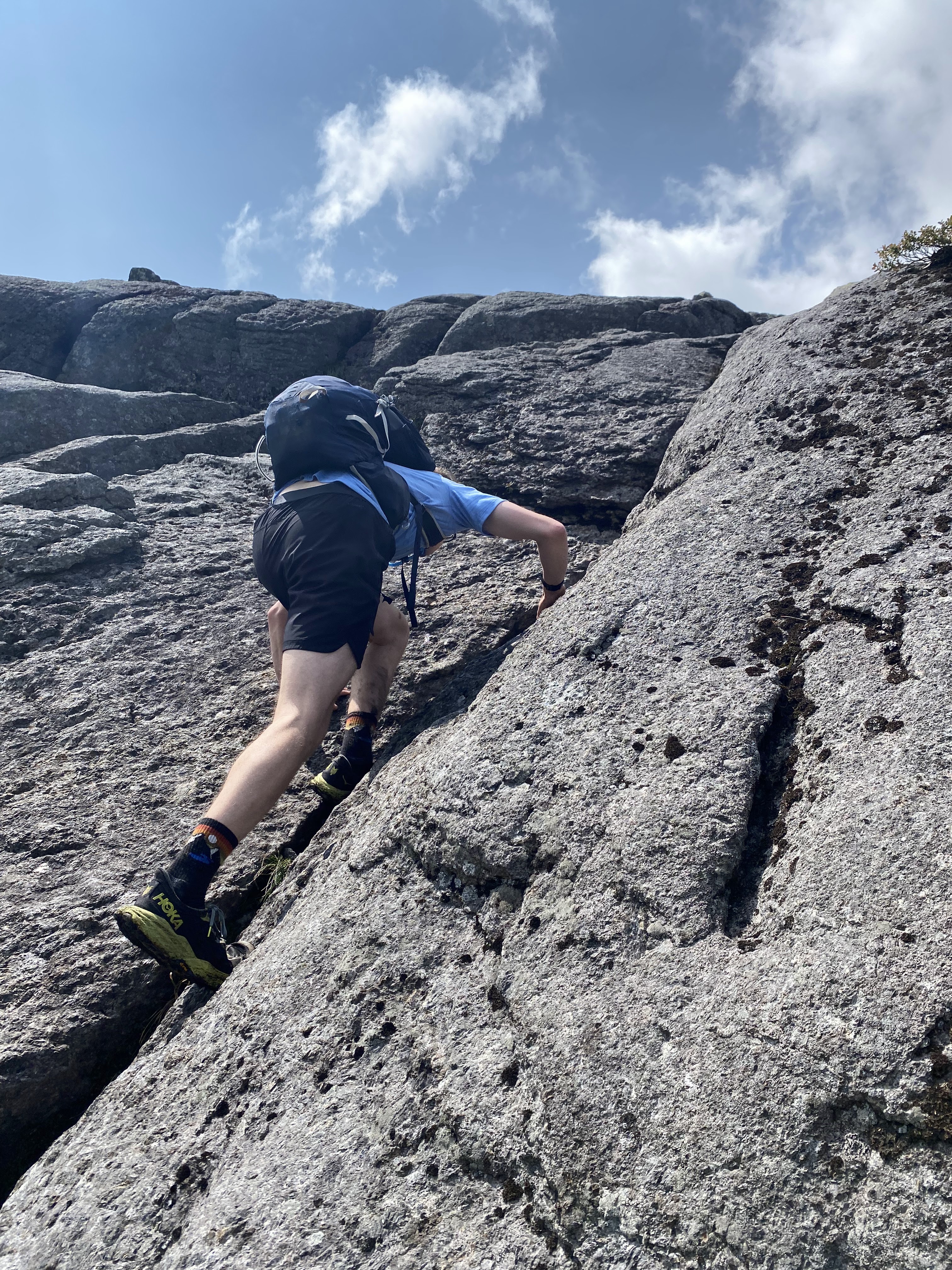
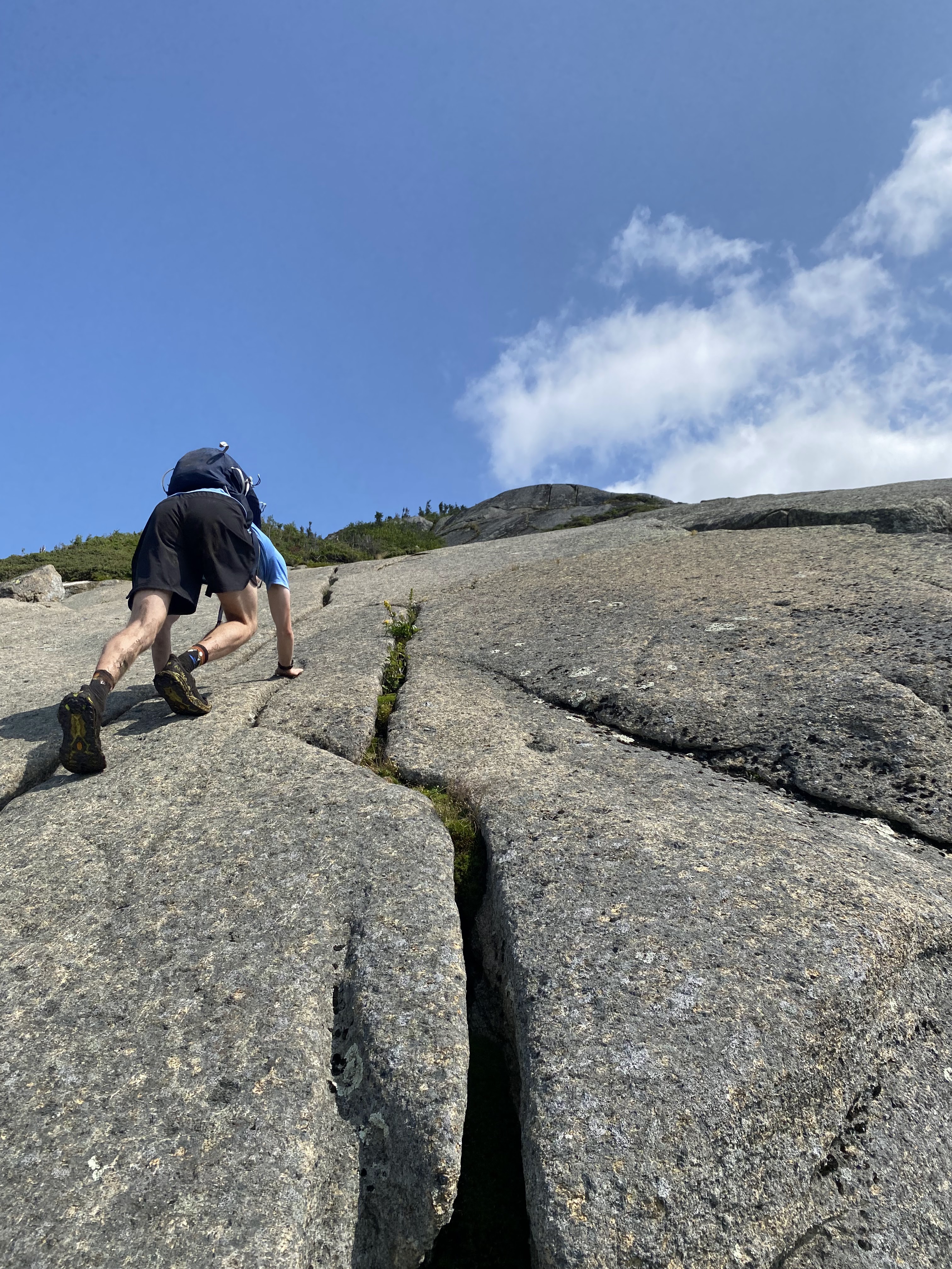
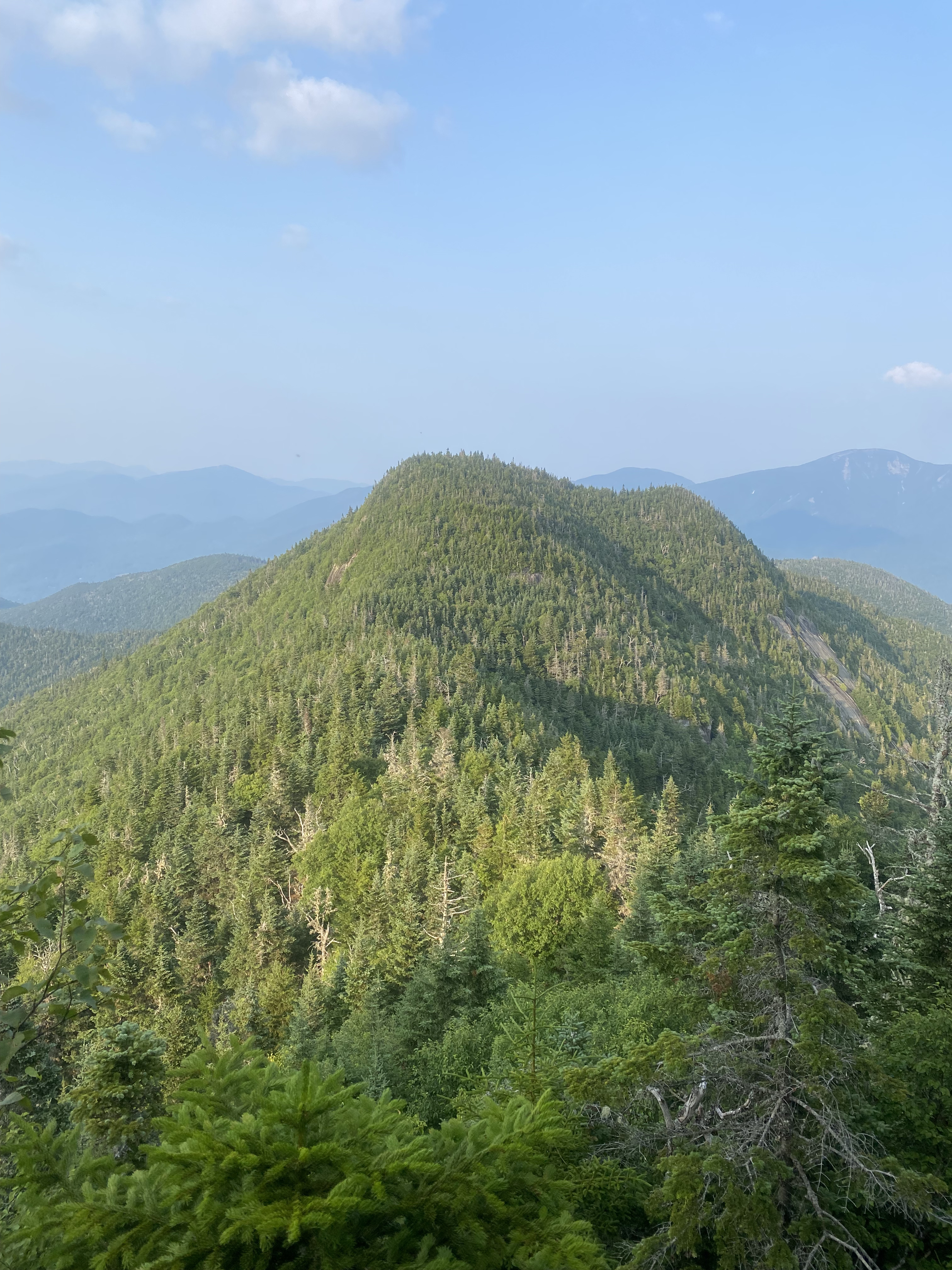
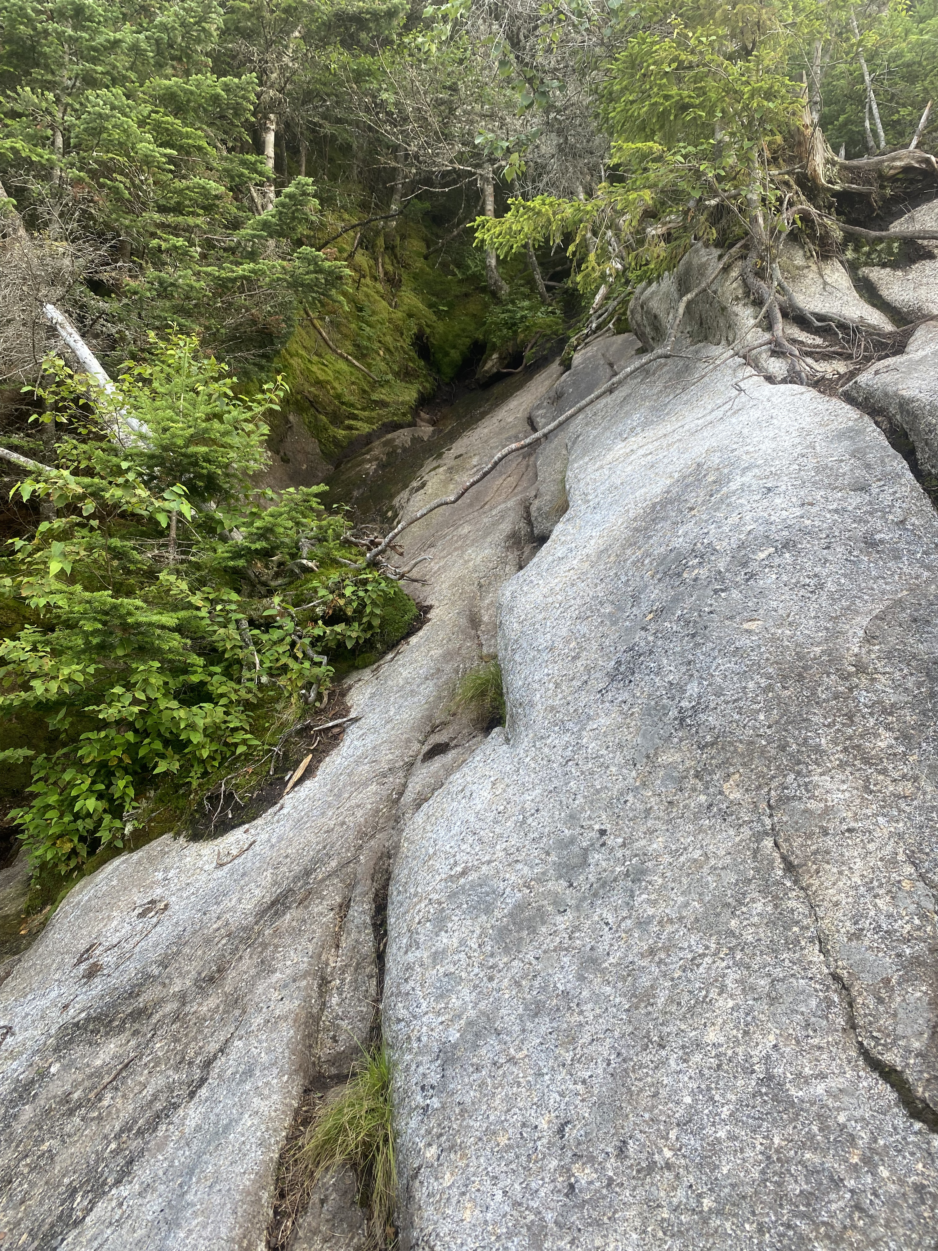
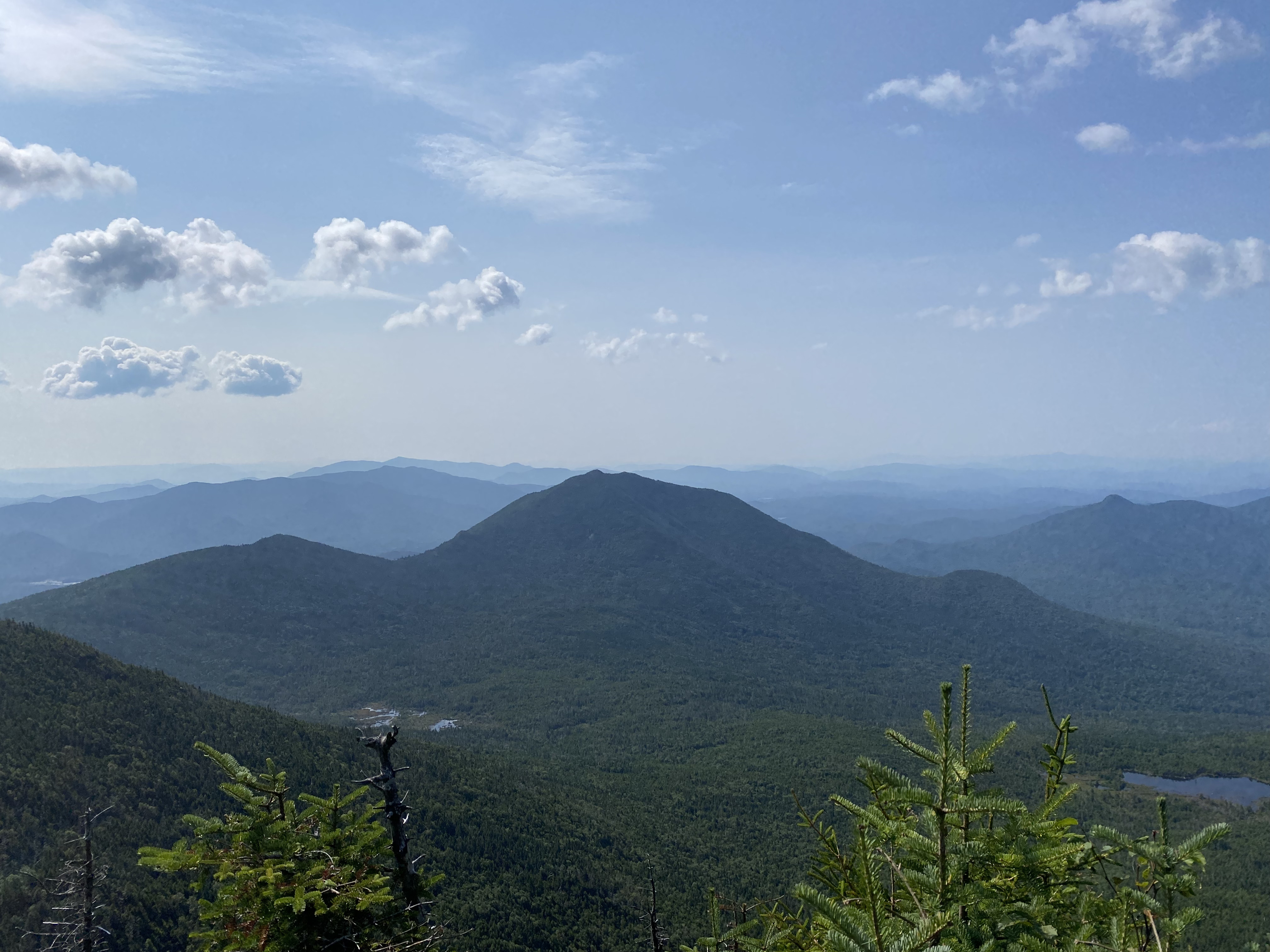
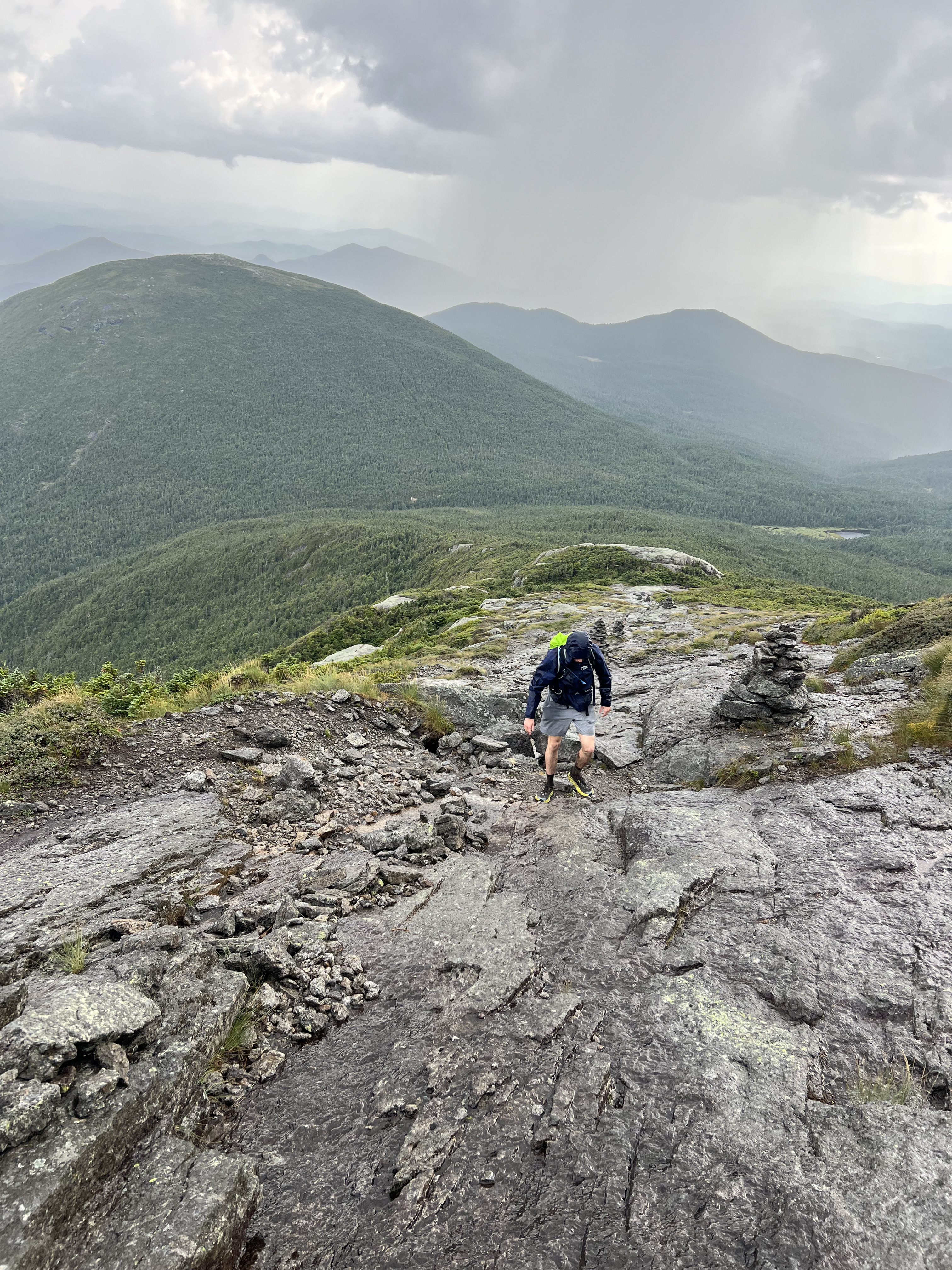
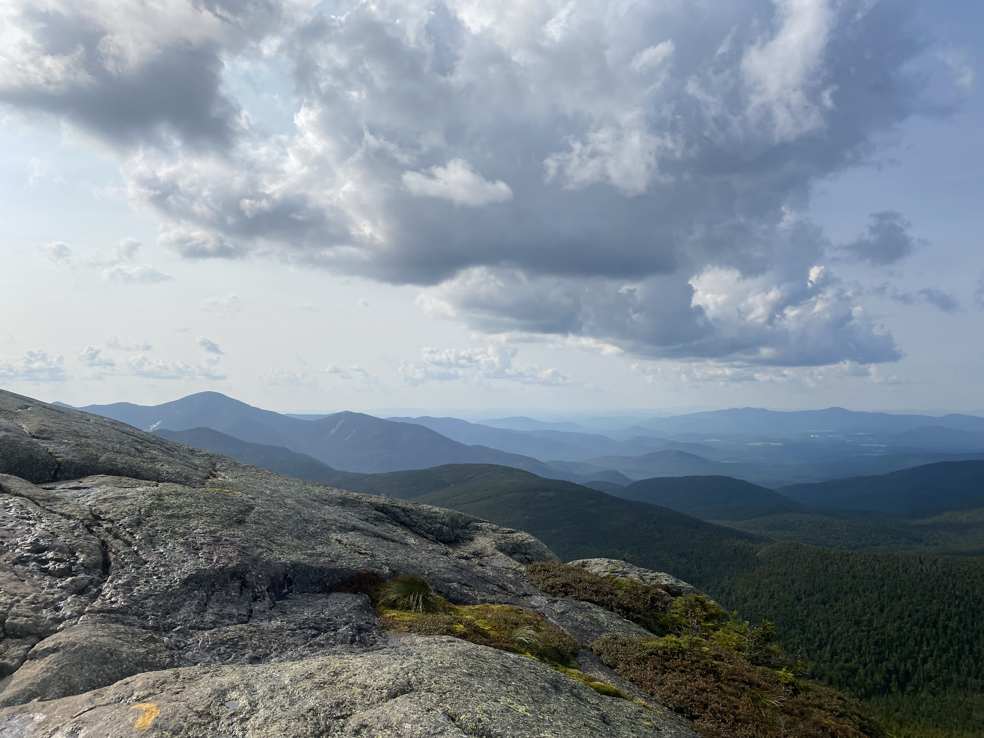
#11-13 - Wright, Algonquin, Iroquois
7/15/23
12.22 miles
4653 ft gain
Wright, Algonquin, and Iroquois are part of the MacIntyre Range and are usually done together. We did an
out-and-back route, saving Wright for last, rather than the loop trail down to Avalanche Lake. This way,
if we didn't do all three, we'd drop the closest peak. Being relatively short, you'll start gaining
elevation
quick and consistently up through Algonquin. Your first stop is MacIntyre Falls, a great spot for
pictures. Make
sure you have enough water as this is your last.... Up through
the turnoff to Wright, the trail will be a rocky ascent, then from there it becomes mostly slabs and
scrambles. Go
straight to Algonquin. Once you break treeline, you'll have constant views for the rest of the hike.
Make sure you
have sunscreen though, even with mine I got quite burned. Algonquin has a large, rounded summit
offering great views
of Colden and most of the high peaks around it, especially down the ridge to Iroquois, your next
stop. Iroquois is an
unmarked, narrow, muddy herd path, especially after the 3" which fell a few days earlier. You'll
find a left-pointing
arrow and the start of its trail on the right. The arrow leads to the Avalanche Lake loop. You'll
pass over Boundary
Peak inbetween Iroquois and Algonquin before shortly dropping and ascending over to Iroquois.
Iroquois, once again,
has great views back to Algonquin, alongside those of Marshall and its Shepard's Tooth. Heading back
to Wright was
lengthy but beautiful, including a second stop on Algonquin. Wright is the steepest of the three but
also the fastest.
The first thing you'll have to do is a very-steep slab and, towards the summit, a notably steep
scramble. Wright offers
great views of Algonquin, make sure to check out the plane wreck shortly off the summit. Be prepared
for wind! Wright
is one of the windiest summits in the park.
Read More
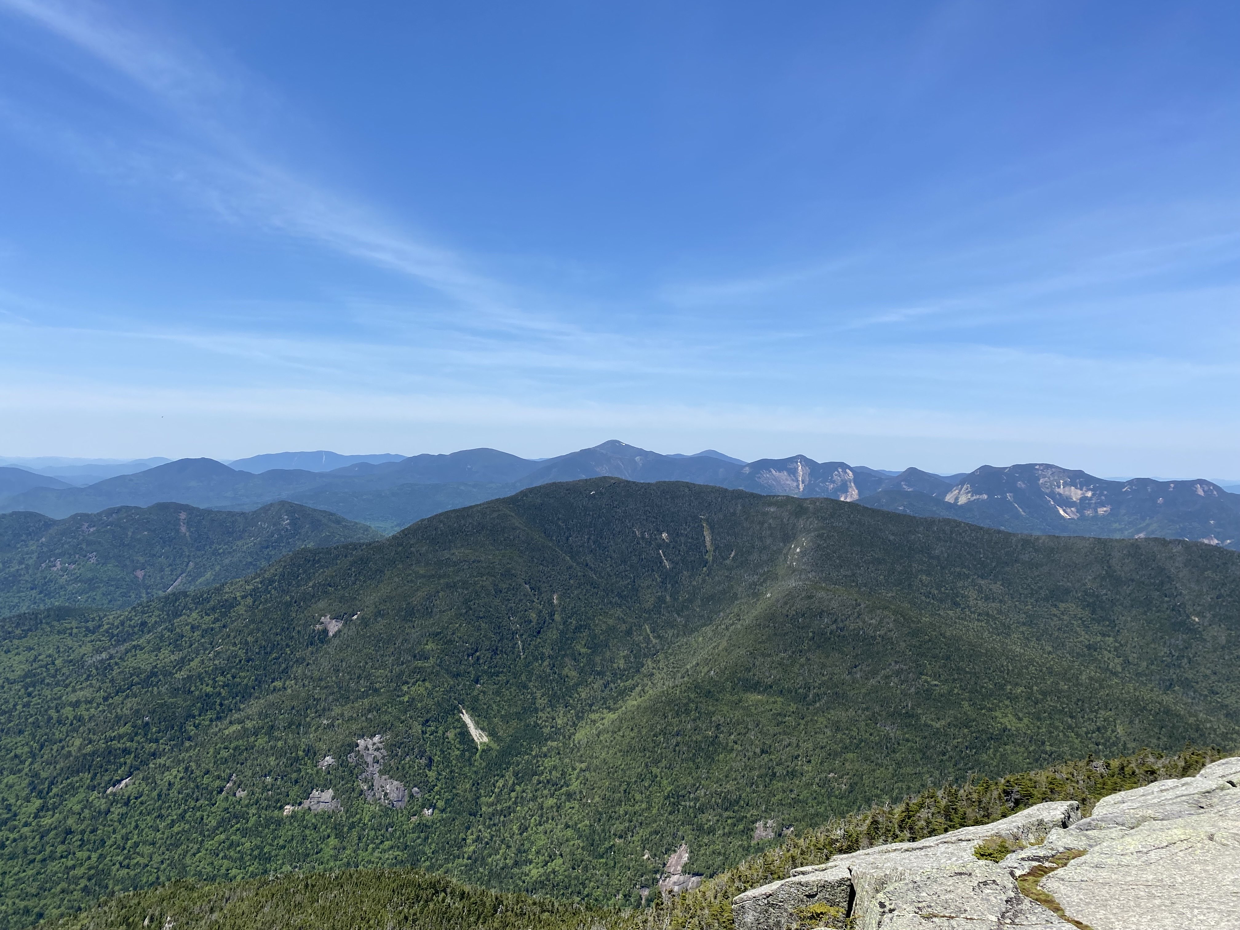
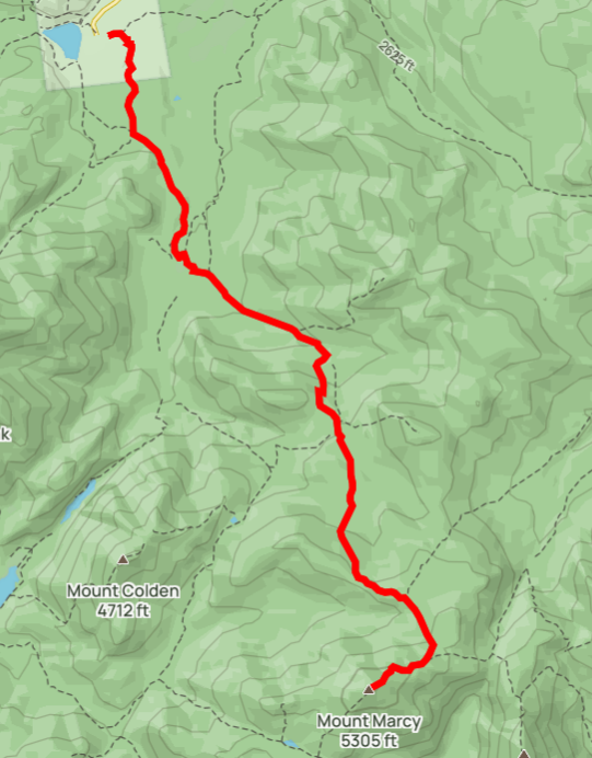
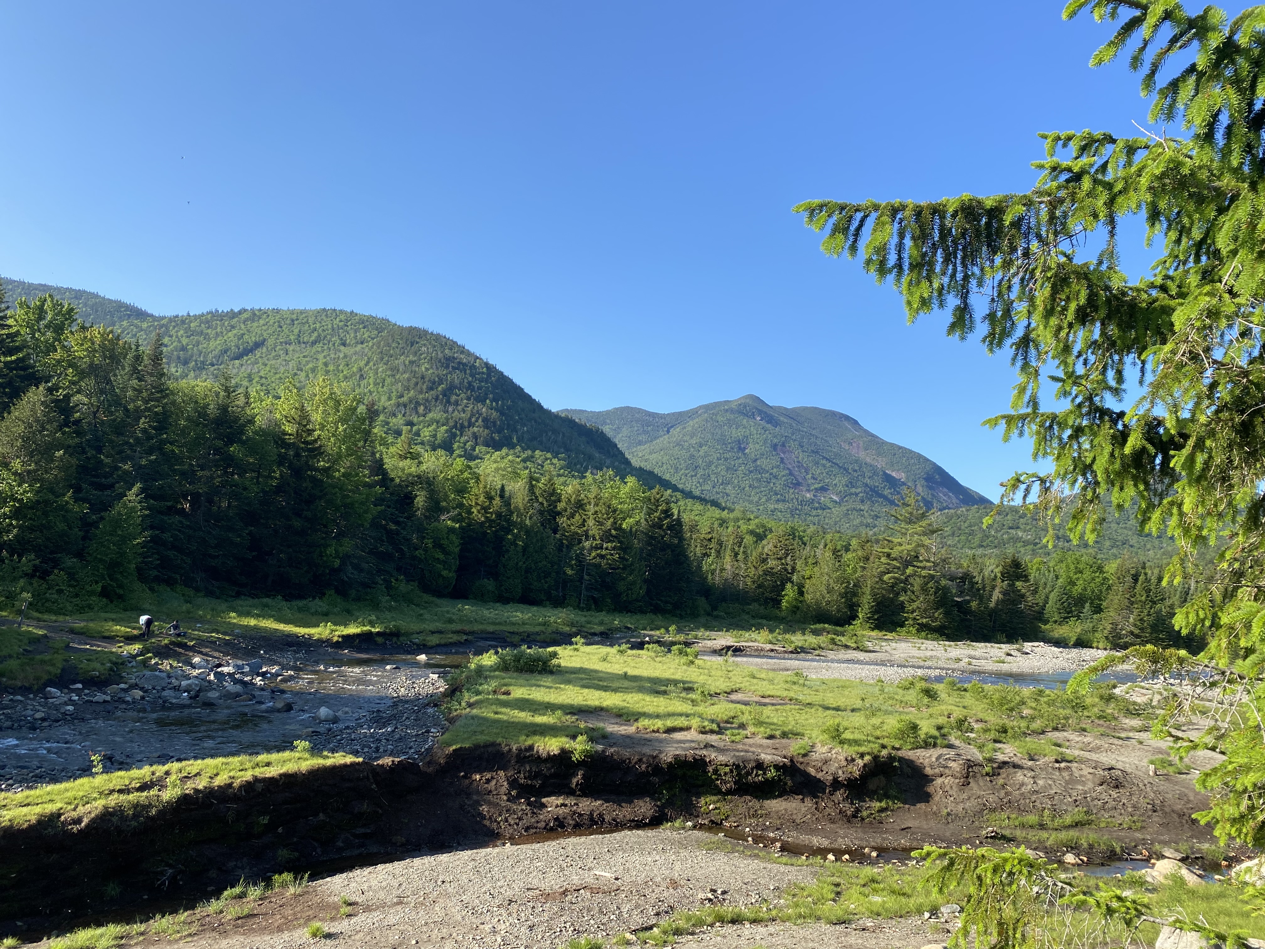
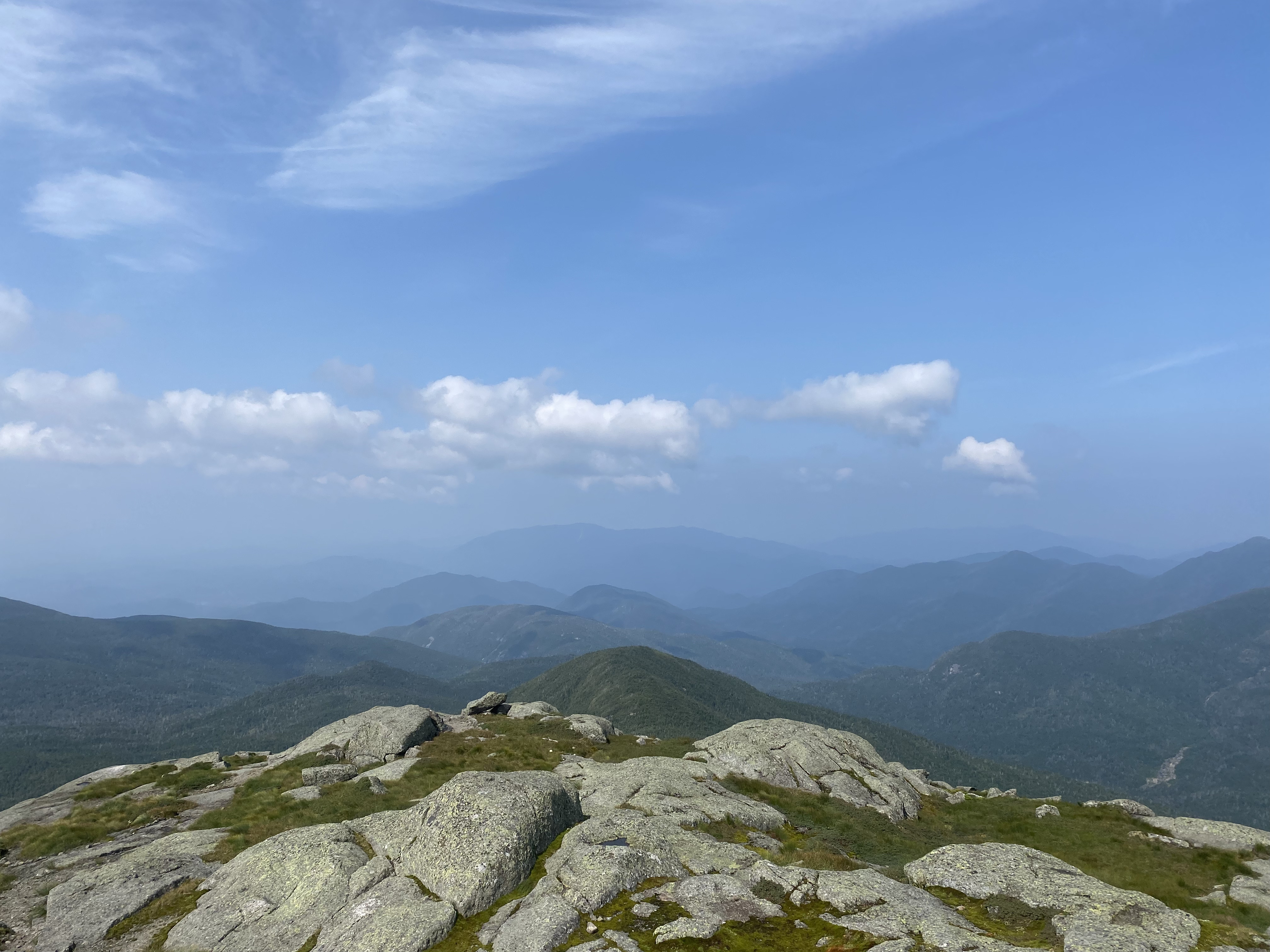
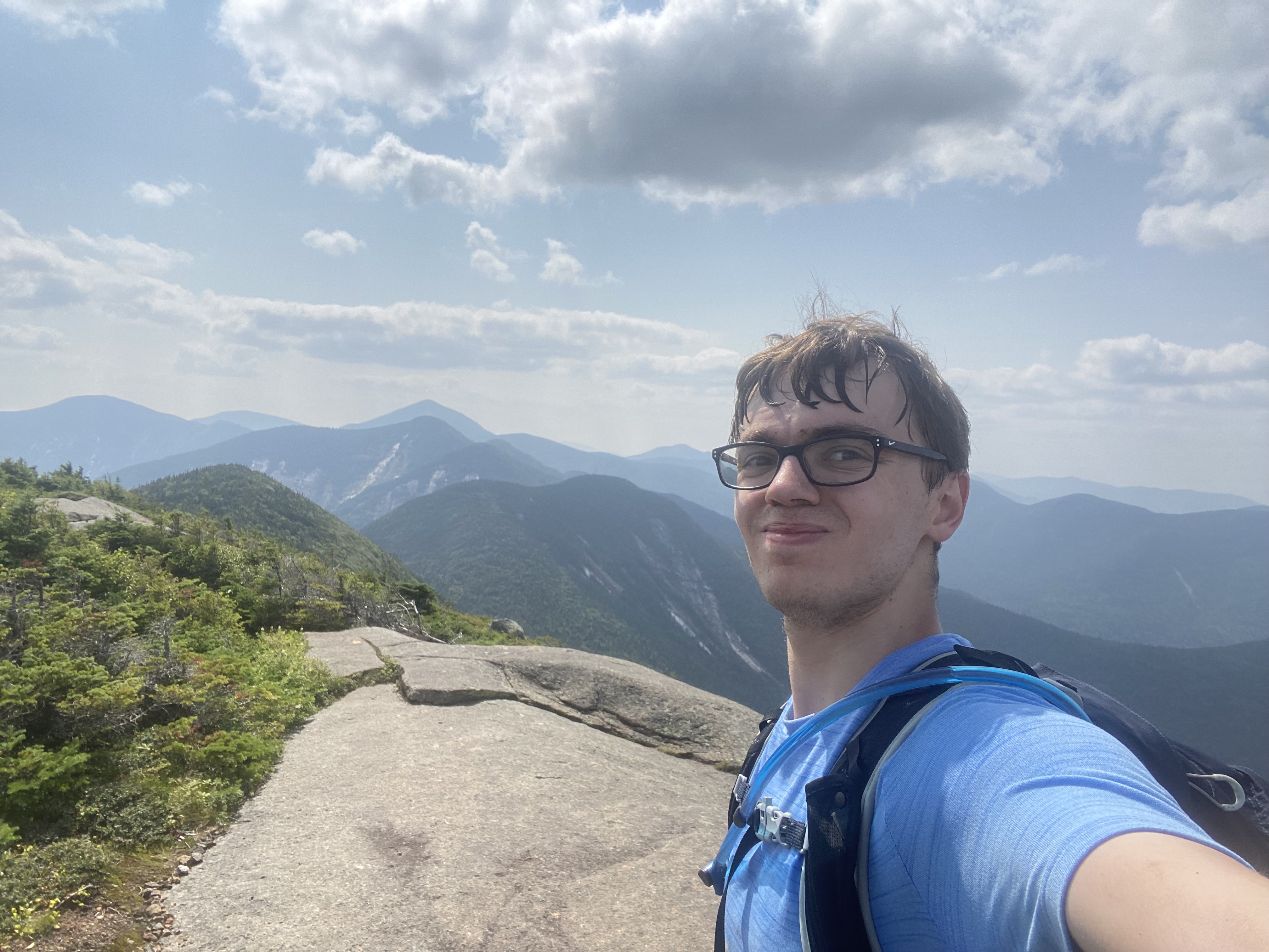
#14 - Marcy
7/23/23
16.24 miles
3600 ft gain
Marcy is the highest point in New York. As such, the Van Hoevenberg trail to its summit is one of the
most popular trails. On some weekends, there can be more than 300 people summiting it daily. Your first
stop is Marcy Dam after 2.3 miles of flat dirt trail. The dam was destroyed by Hurricane Irene. Soak in
the views, this spot is beautiful! From here, the trail has a consistent, gradual ascent all the way to
the
summit....
The first half is quite rocky and has a few stream crossings, some with bridges and two without, all
are good spots
for pictures! The section up to Tabletop's turnoff will pick up steepness, providing a good burn.
After a stream crossing,
you'll see signs for Indian Falls pointing right, take them! A few seconds later, you'll be rewarded
with a breathtaking
view of the MacIntyre Range. Sit down, relax, fill your water, eat lunch, and enjoy the views before
continuing. This is
your last reliable water source. The rest of the trail up to Marcy will be muddier as it's more
level, but you'll get another
workout heading up the shoulder of Marcy's Northwest Peak. Keep your eyes peeled for a view on the
right up towards Marcy.
Here's where the trail turns to high peaks slabs and fragile vegetation. Stay on the rocks!
Personally, I found the scrambles
to be easier than the slabs. The slabs are very grippy though so go straight up! The summit is
marked by a first ascent plaque on a large
rock. Enjoy the views! Unfortunately for us, we were only on the summit for 10 minutes until a thick
cloud of rain hit us. The
slabs I previously mentioned were super grippy lost that property, making getting down cautious.
Once we reached a lower viewpoint,
the rain was gone. As such, we spent our "summit time" here. Once you've had your views, it's time
for the long hike out, but you
have many spots to stop and enjoy again. We took a dip near Indian Falls.
Read More
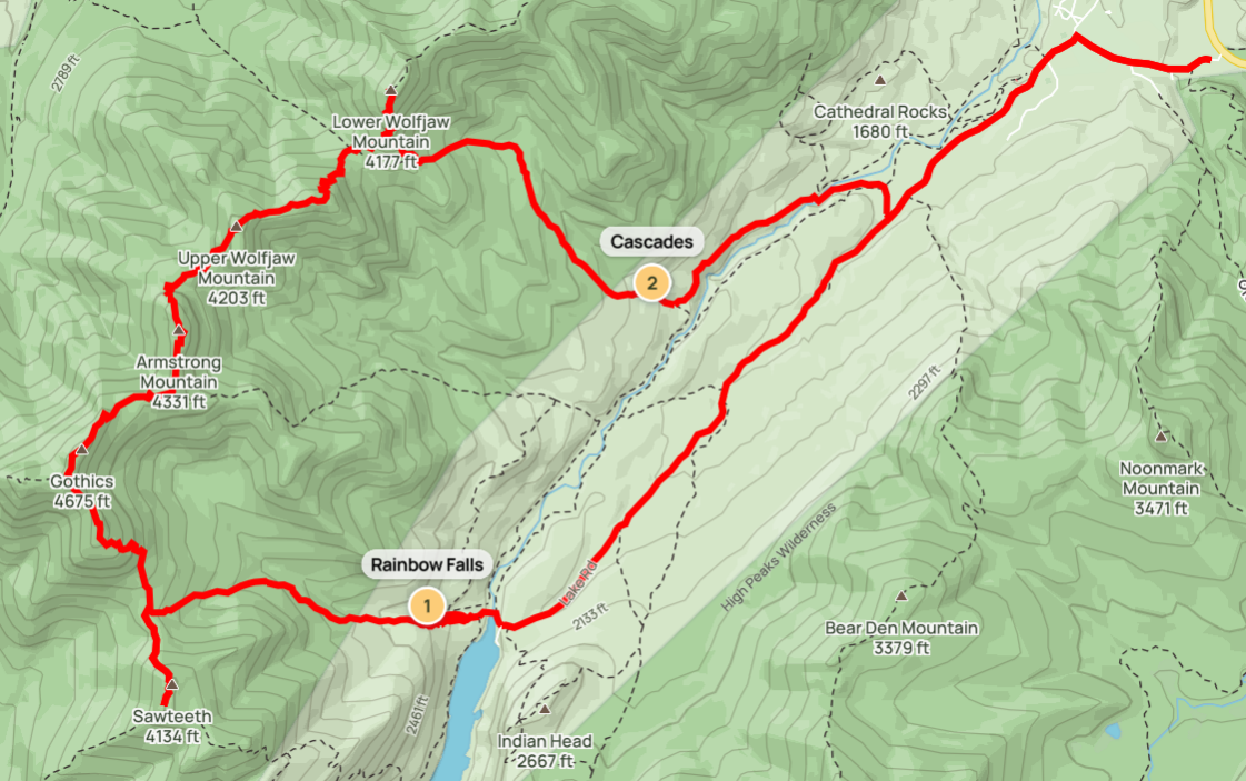
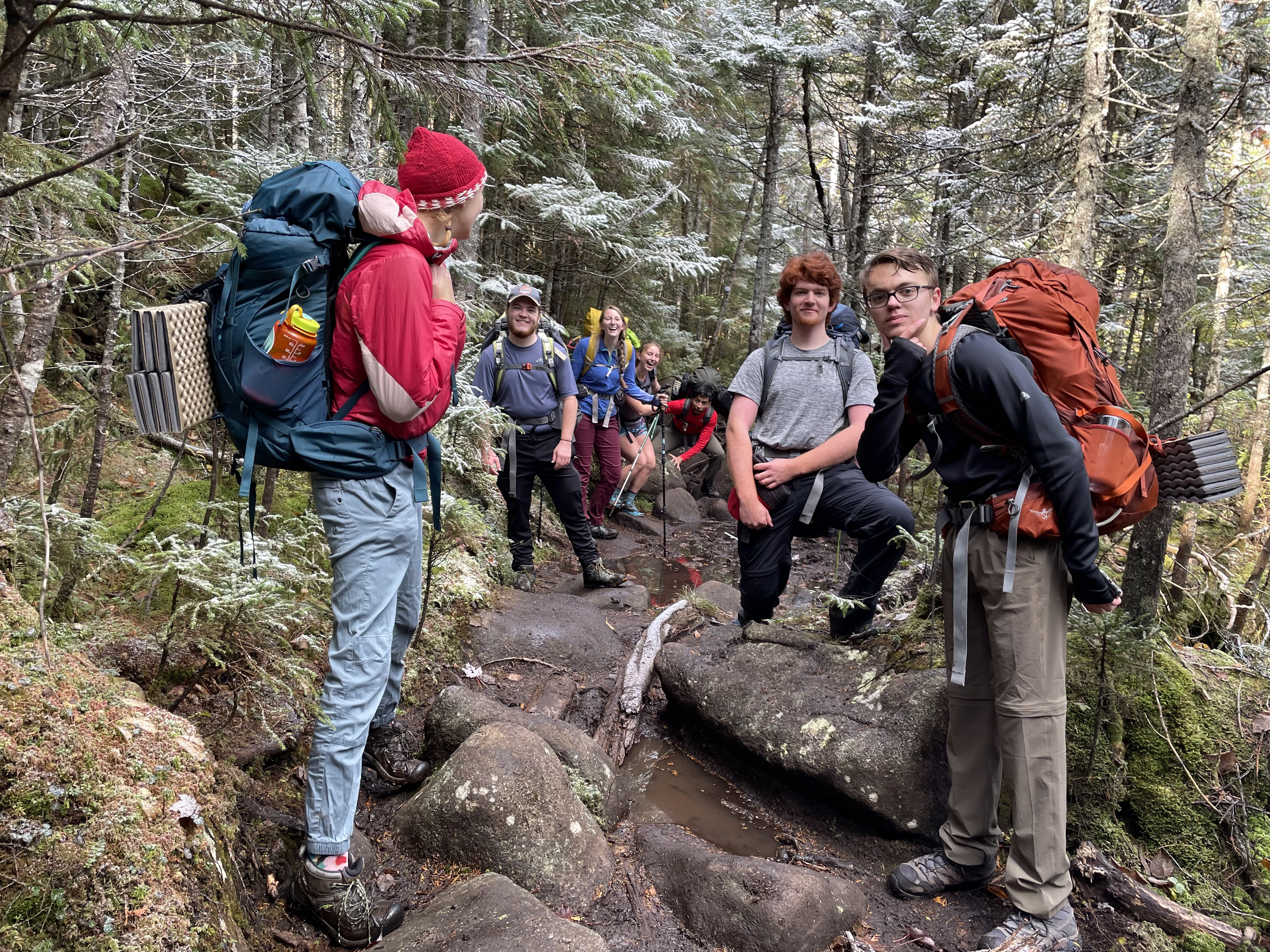
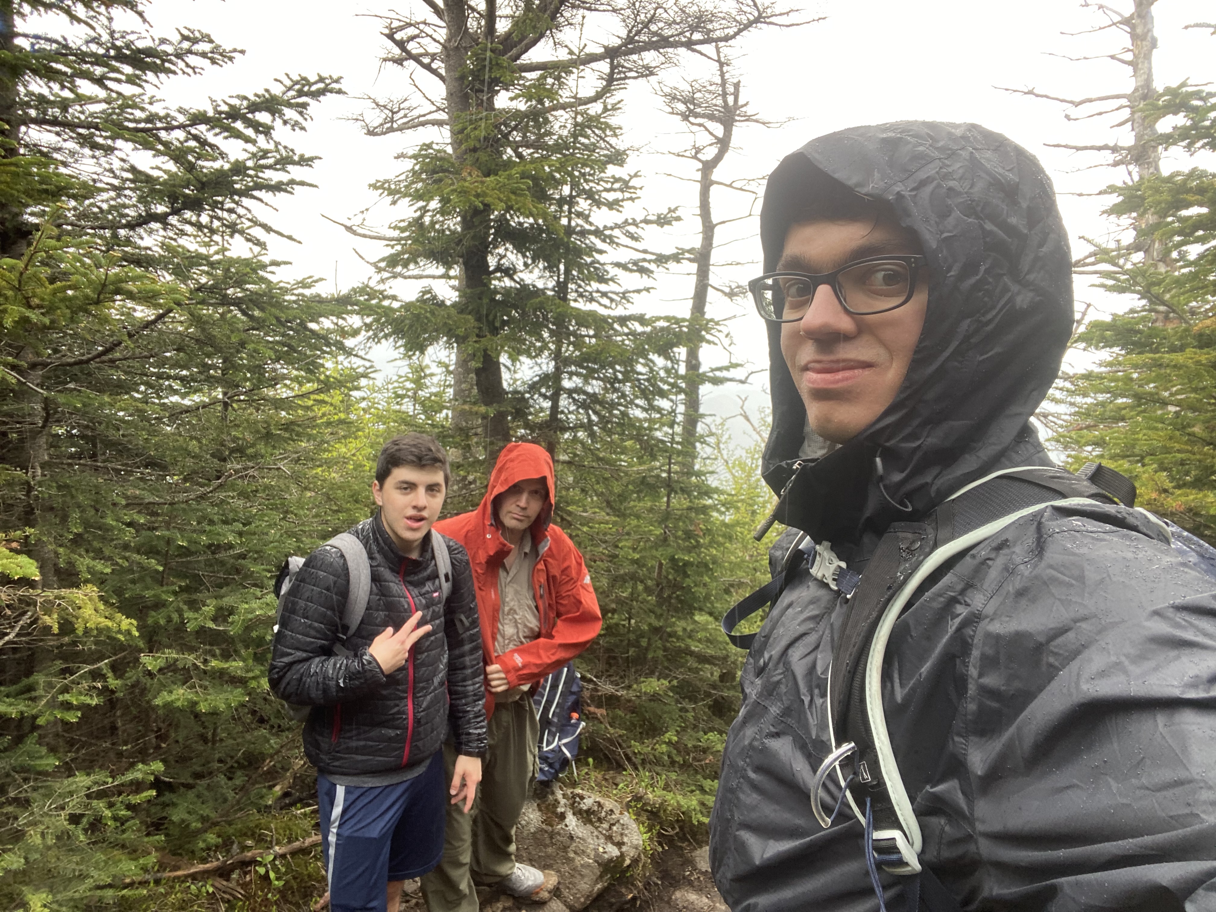
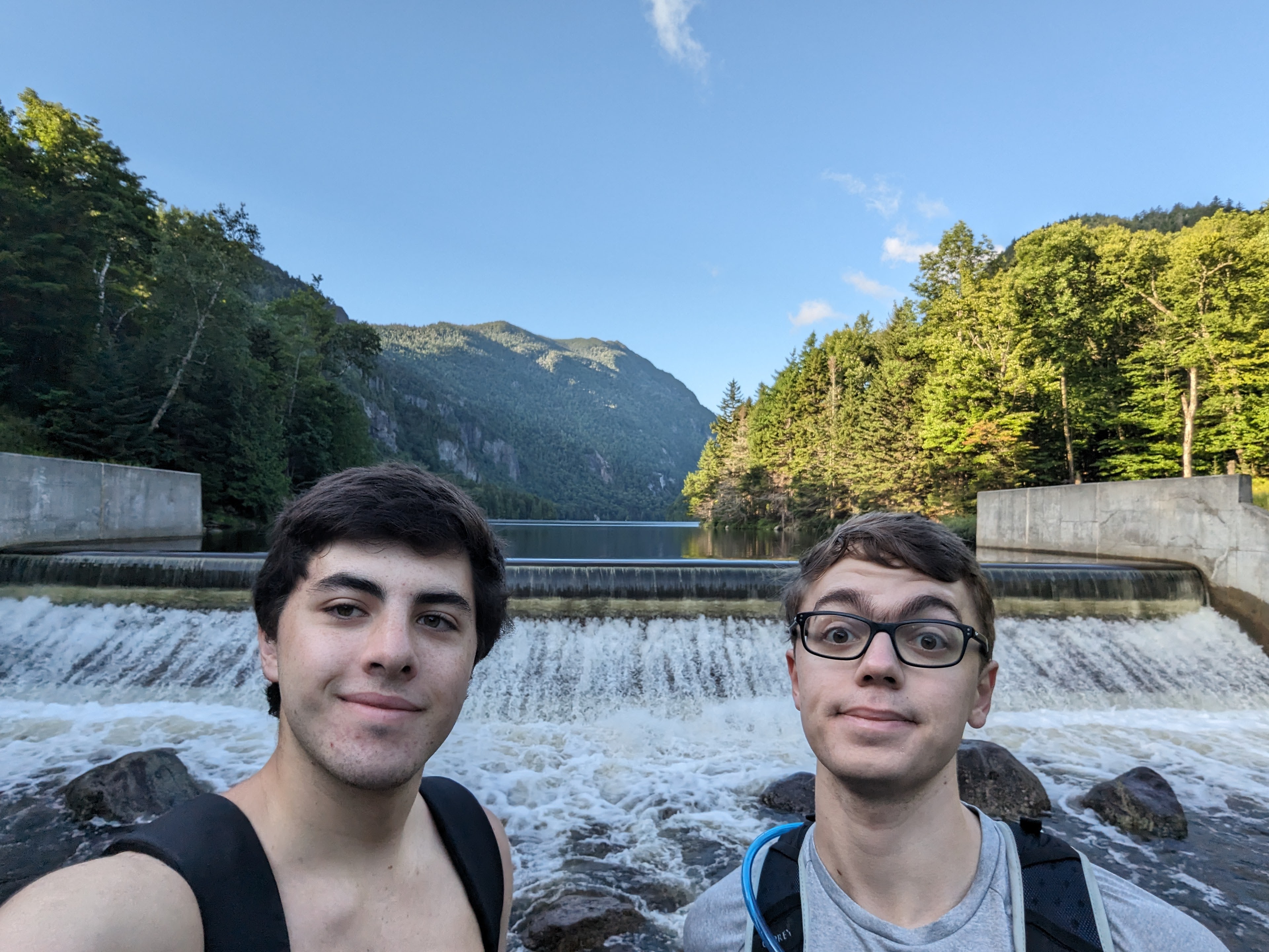
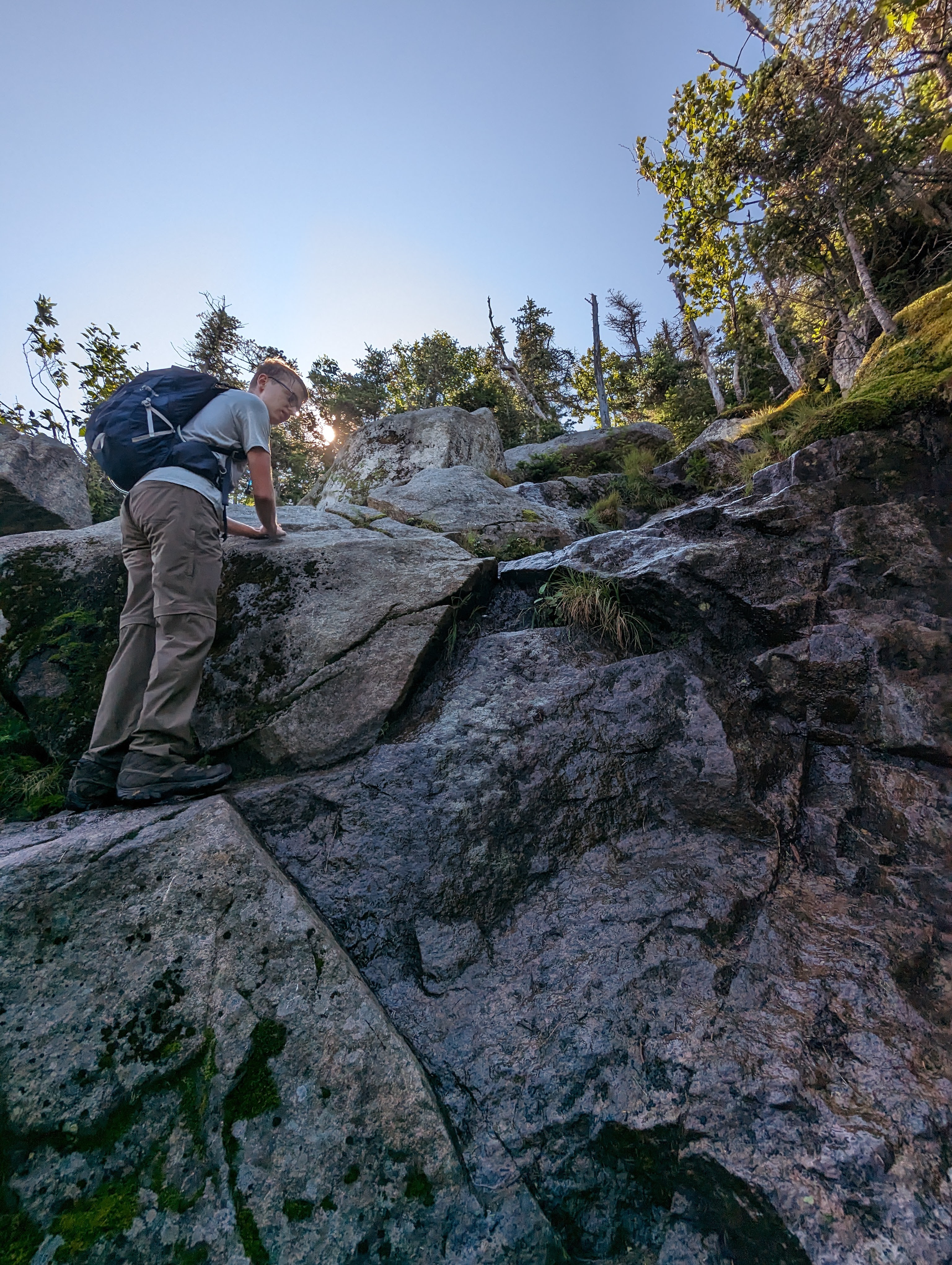
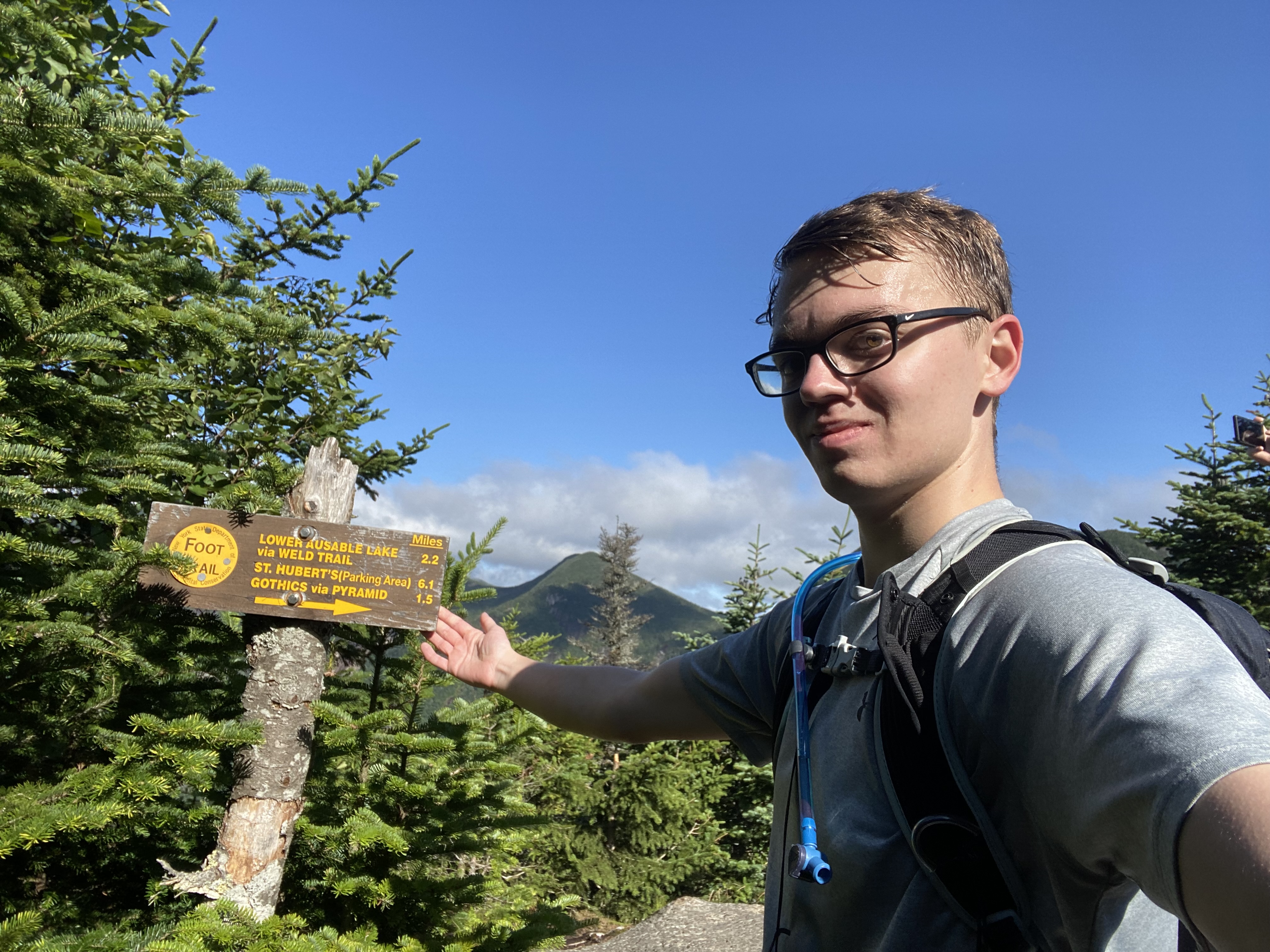
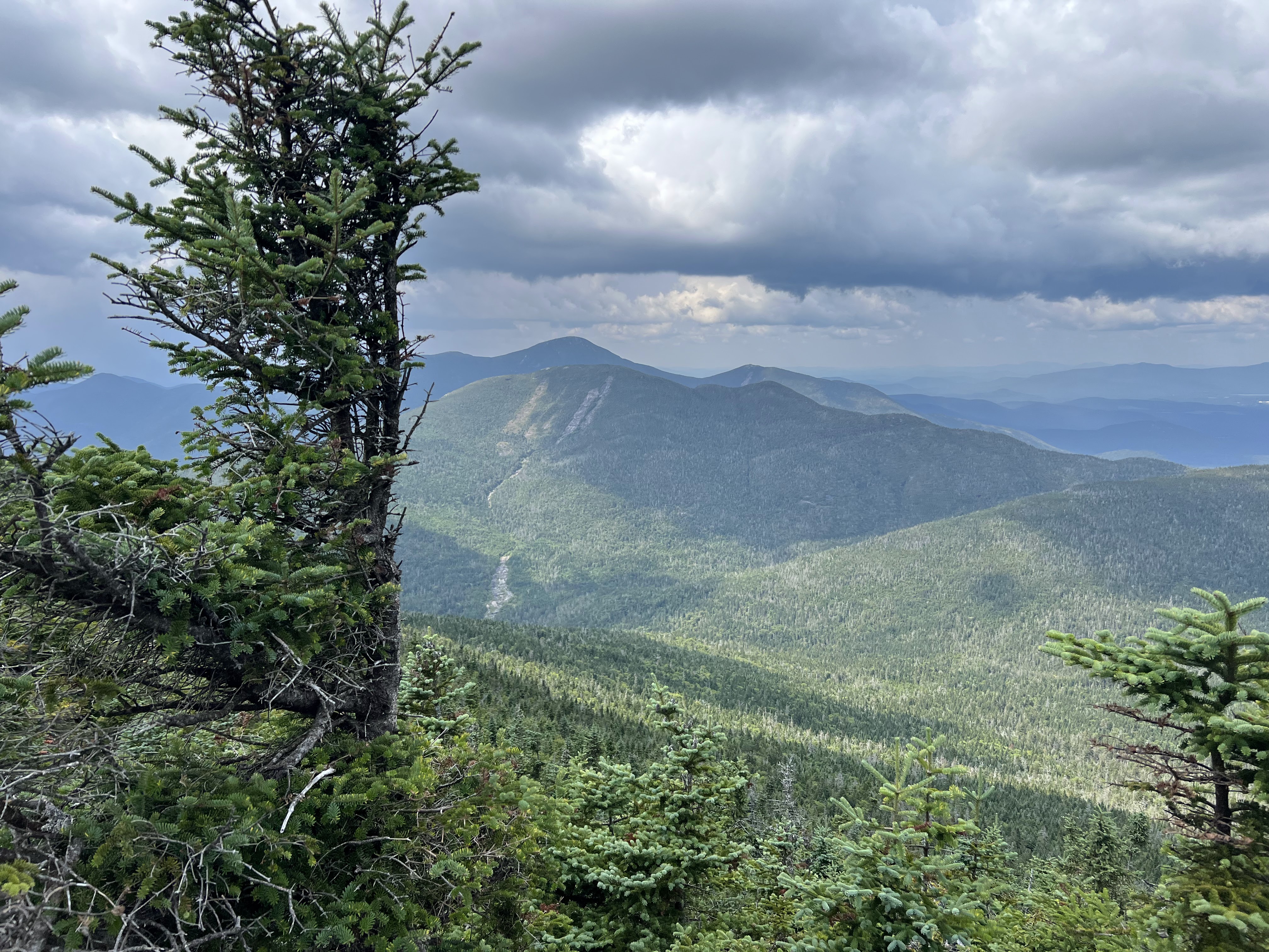
#15-19 - Lower Great Range
7/30/23
17.42 miles
5725 ft gain
This is one of the most exhilarating and rewarding hikes in my 46er journey. Not only was this my first
hike above 5000ft elevation
gain, it was the longest and most technical hike I've done. The Lower Great Range consists of Sawteeth,
Gothics, Armstrong, and the Wolfjaws.
Most people hike from the Adirondack Mountain Reserve (AMR), but some head from the Garden....
If you chose the former like we did, you'll have to make a reservation. Because of this, we weren't
able to pick a day based on weather.
We hiked after 1.5" of rain falling the night before on top of an already extremely-wet summer,
making for a slick and muddy day. The hike
starts with a 3-4 mile road walk to Lower Ausable Lake. Sawteeth has two main routes to its summit:
the scenic route and the Weld trail. I
recommend taking the Weld trail if you plan on doing all five as you'll want the energy to push
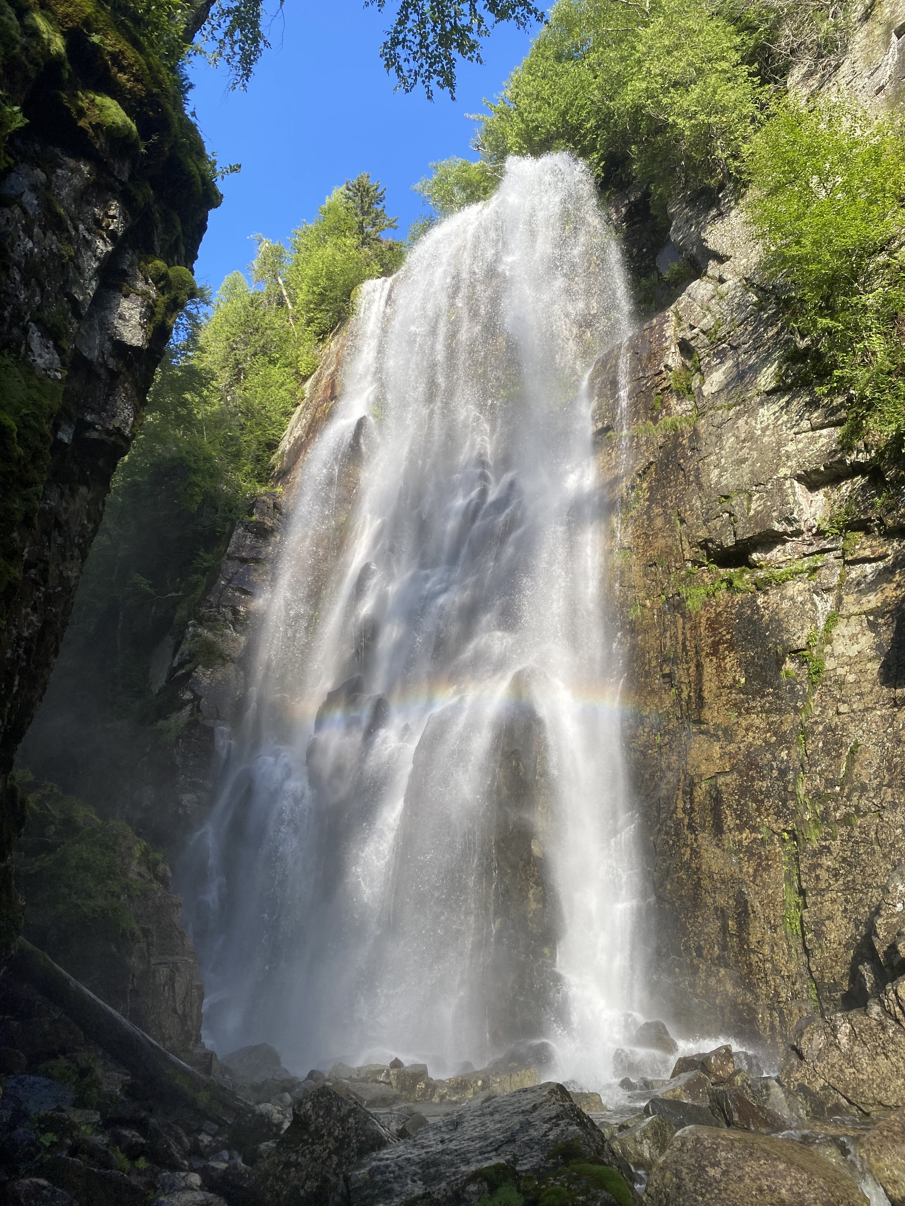
through. This also means you'll see Rainbow
Falls: a jungle-like waterfall due to its steaming mist and vegetation which is tucked behind a
cliff. Once you're done with this hidden gem,
you'll ascend to ridgeline at a decent pace. Due to rain, the trails turned to streams. Take a left
to Sawteeth. This is a good warmup for your
day, with some notable scrambles, and a great view of Pyramid Peak and the Upper Great Range. There
is no summit marker, rather a sign with
mileages and a large rock opening. Head back to the junction and continue right to Pyramid Peak,
which you'll head over to Gothics. This will
also be the crux of your day. Pyramid is full of steep slabs, but most have trees to grab, except
for the first one. When we did it, this slab
was slick and extremely sketchy to ascend. Your hard work pays off though, since many think Pyramid
has the best views in the Adirondacks. From here,
Gothics is about 15 minutes away after some quick slab descents and scrambles. I can see why people
say Gothics is their favorite high peak, whether it be
the beautiful route over Pyramid, the cable ascent, or the ladders up Beaver Meadow. Continue
down the State Range Trail over Armstrong and Upper Wolfjaw. From here on, you'll have constant
scrambling but not as many slabs. Don't forget the MUD!
Armstrong's summit is a rocky ledge looking back towards Gothics. Descending into the col between
Armstrong and Upper Wolfjaw is, in a way, a second crux.
Be careful! It's quite treacherous. You'll also run into a really long ladder. Upper Wolfjaw's
summit is a short path off the trail to the left, on top
of a large rock/slab to climb onto. Up to now, the summits have been short bumps from one to
another. However, you'll ascend roughly 700-800ft to
Lower Wolfjaw. Oh, and it's steep. This may discourage people, but I would strongly recommend you
push on. Unfortunately, Lower Wolfjaw has a wooded summit
with limited views, but you'll be glad you got it. All that's left is the hike back, taking the
Wedge Brook Trail, which feels so much longer than
it is. Took us 2-3h back to the car. You do get to see another watrfall: the Cascades. Turn onto the
West River Trail towards the lot. Some people take this
trail the full way but we took the short path to Lake Road over the Canyon Bridge as we'd rather
walk the road back.
Read More
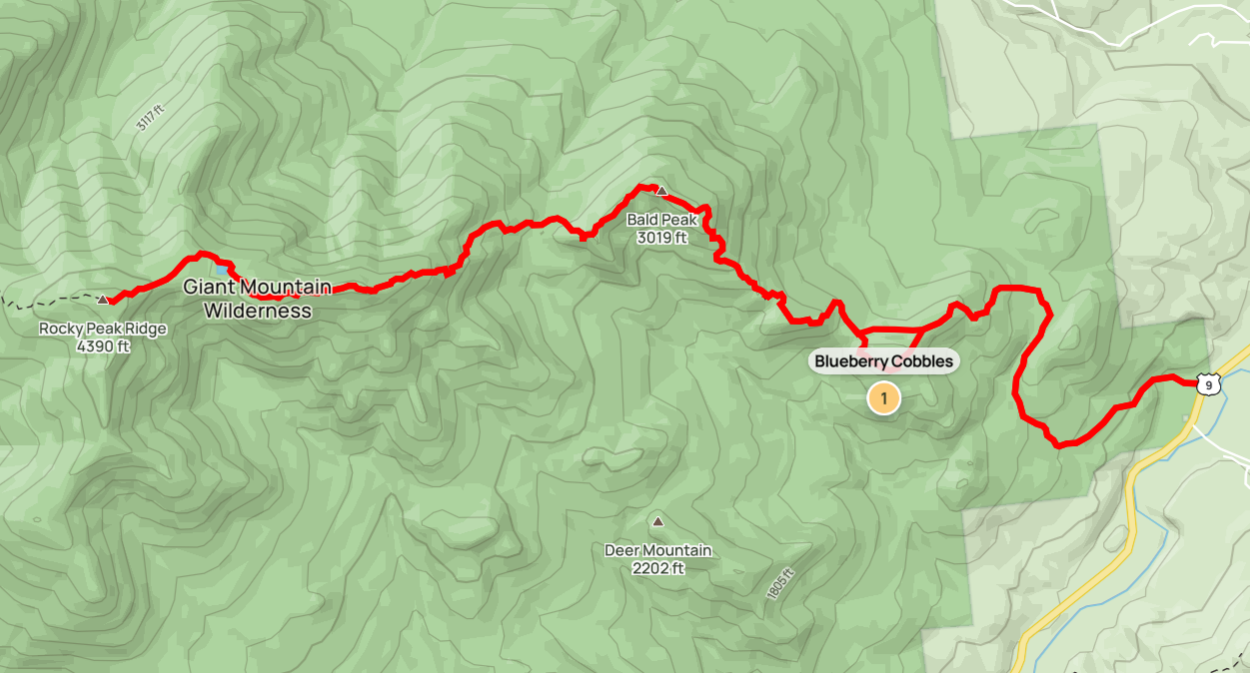
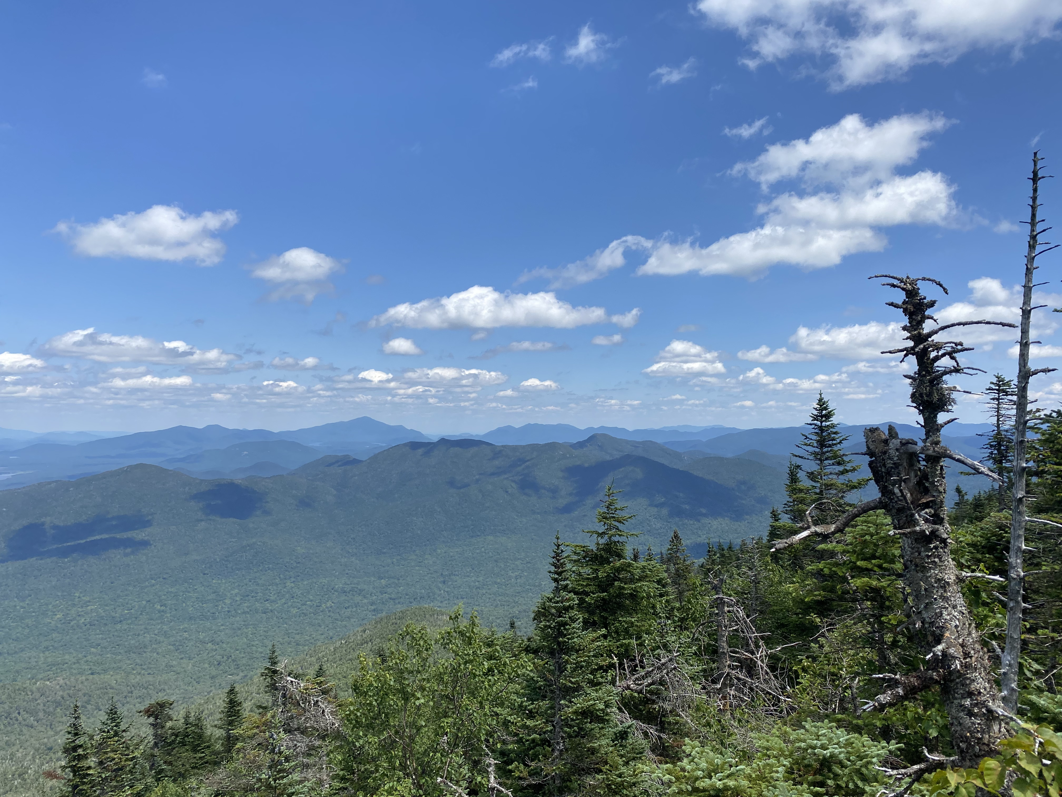
#20 - Rocky Peak Ridge
8/6/23
13.36 miles
5163 ft gain
Rocky Peak Ridge is usually hiked with Giant Mountain, but if you're like me and bailed on RPR, I
recommend
doing it from New Russia. It's such a unique experience due to the views, trail type, and especially the
flora.
The trail reminds me a lot of those around Lake George. You'll start in an open forest with large trees.
On your
way to Blueberry Cobbles, you'll start seeing several slab-like ledges of rock offering views. These
continue the
whole way up....
You don't have to summit Blueberry Cobbles as there's a bypass trail but I recommend you do. While
it's nothing
spectacular, it's scenic. Here you'll start seeing some of the first white moss fields on the hike,
along with some
views towards Bald Peak and the RPR's East Peak. You'll start reaching high peaks steepness heading
up to Bald Peak
with some simple rock faces, which I found out on my descent there was a gravel trail bypassing.
Keep your eye out
for wild blueberries! When I did this hike, they weren't completely ripe yet so I didn't try any.
RPR and Giant come
into view now, which were previously hidden behind its eastern peak. Continue along Bald's ridgeline
for more views and
some slabs to descend. What makes this hike difficult is how much elevation you'll gain. By this
route, you're probably
doing the most elevation gain for a single high peak in the park. After Bald, there's 1300ft of
elevation
gain for about a mile. This part felt so much longer than it was, it sucked. Once you finish, you're
left with amazing
views and only some bumps left until RPR. Enjoy it, you worked hard for it. Take some pictures at
Lake Mary Louise. The summit of RPR
has great views of most of the high peaks, especially of the slides on the backside of Giant. You've
got a long hike back
to the car but, with so many viewpoints, it's hard not to enjoy it.
Read More
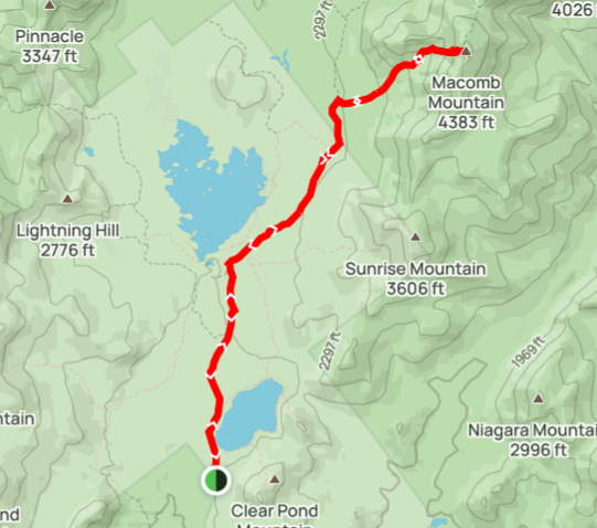
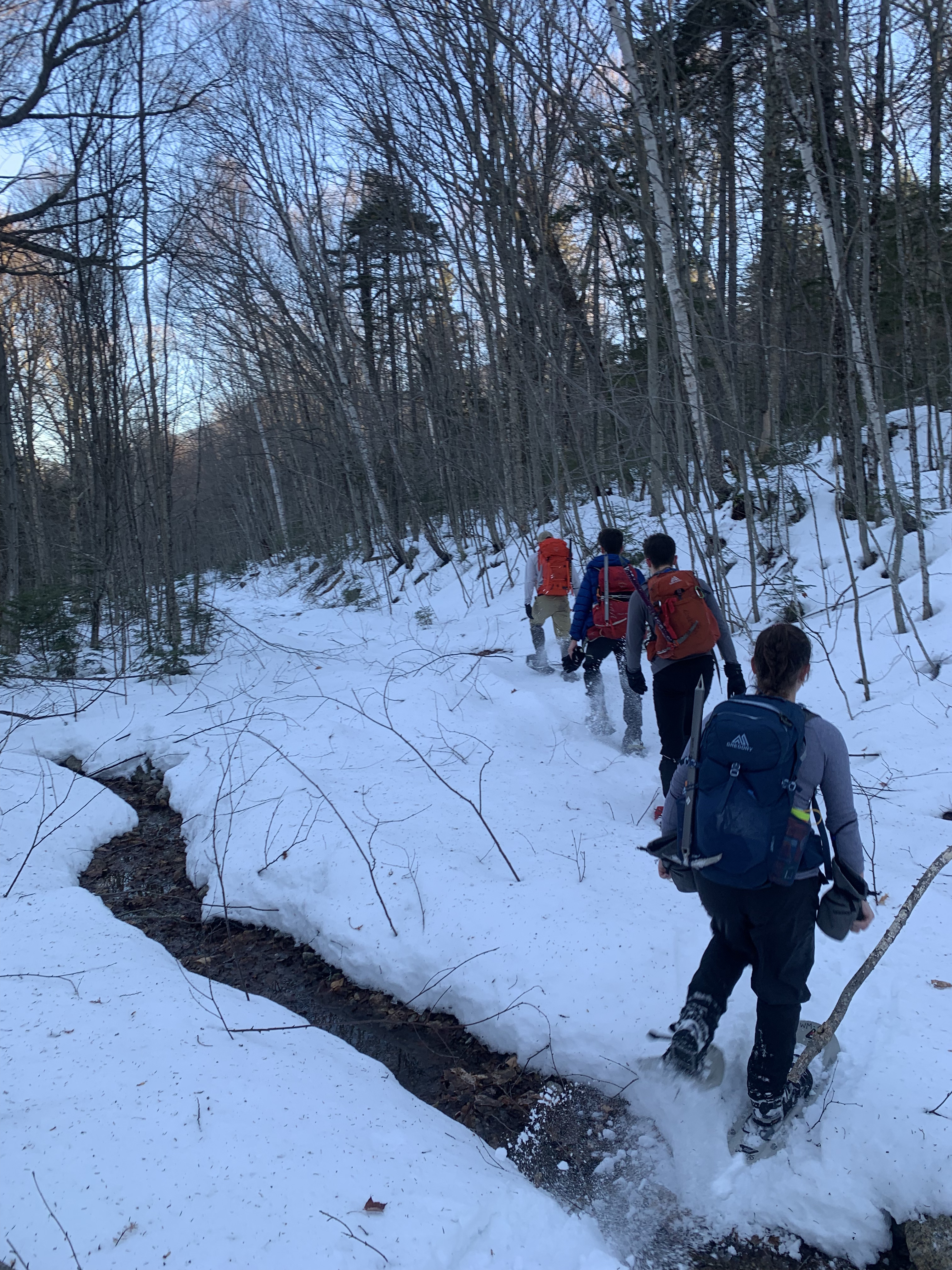
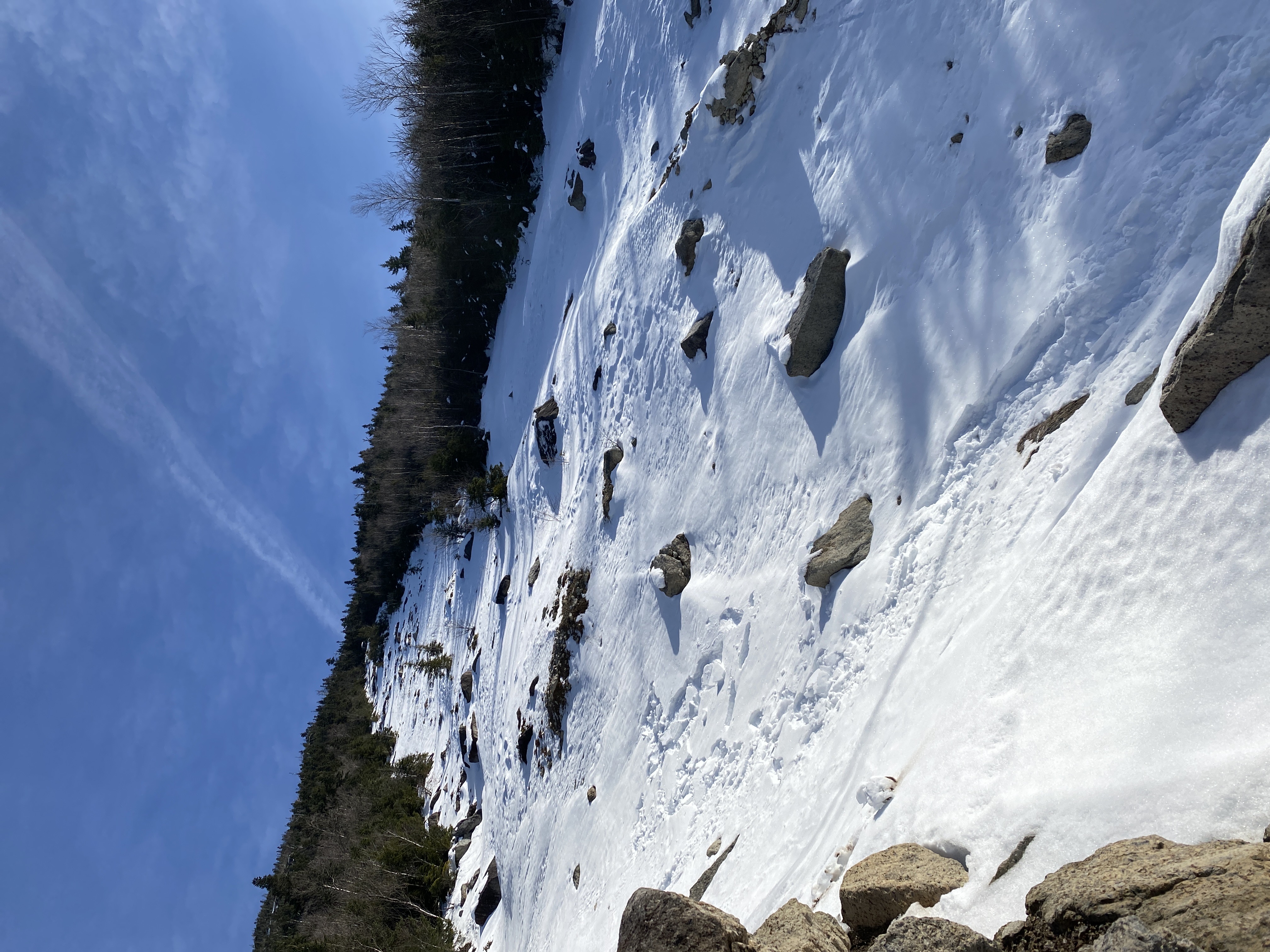
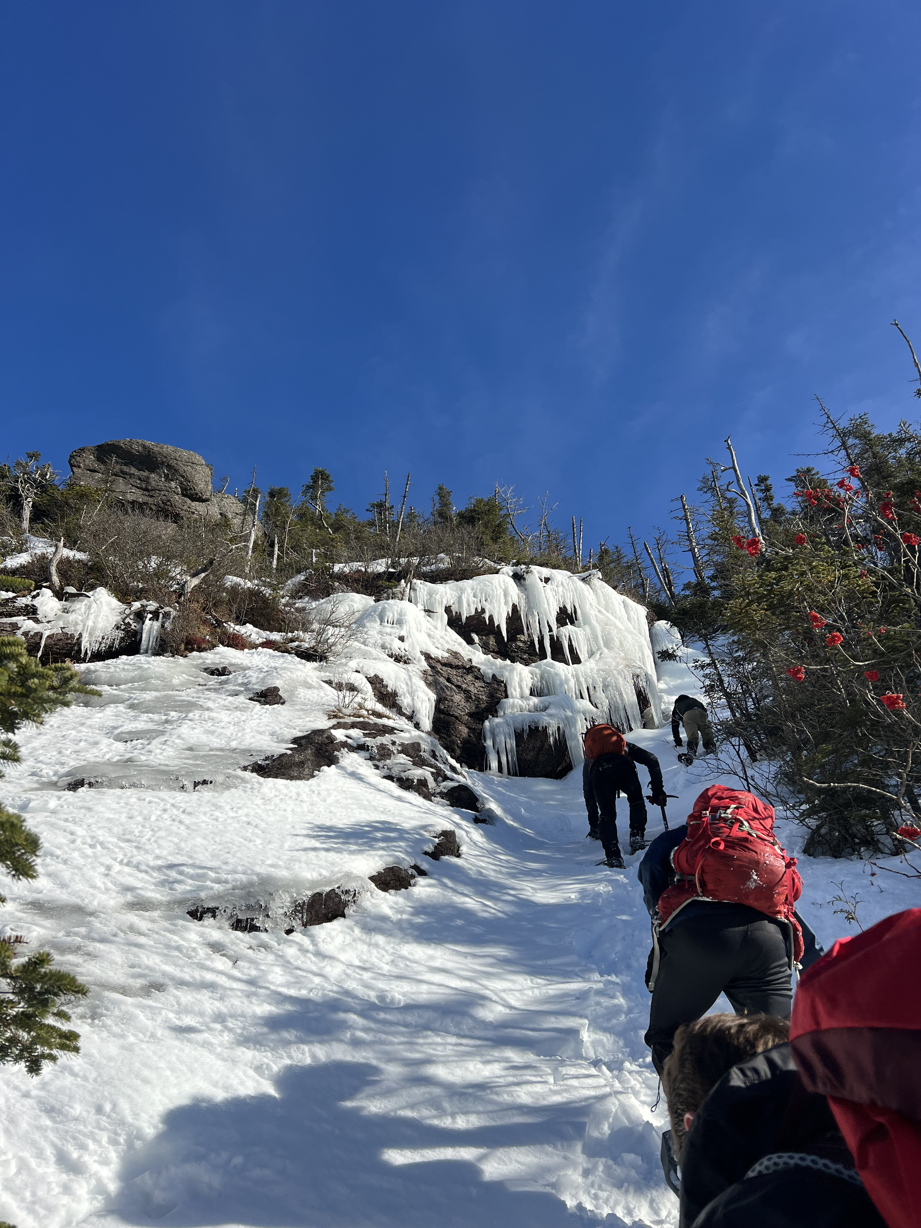
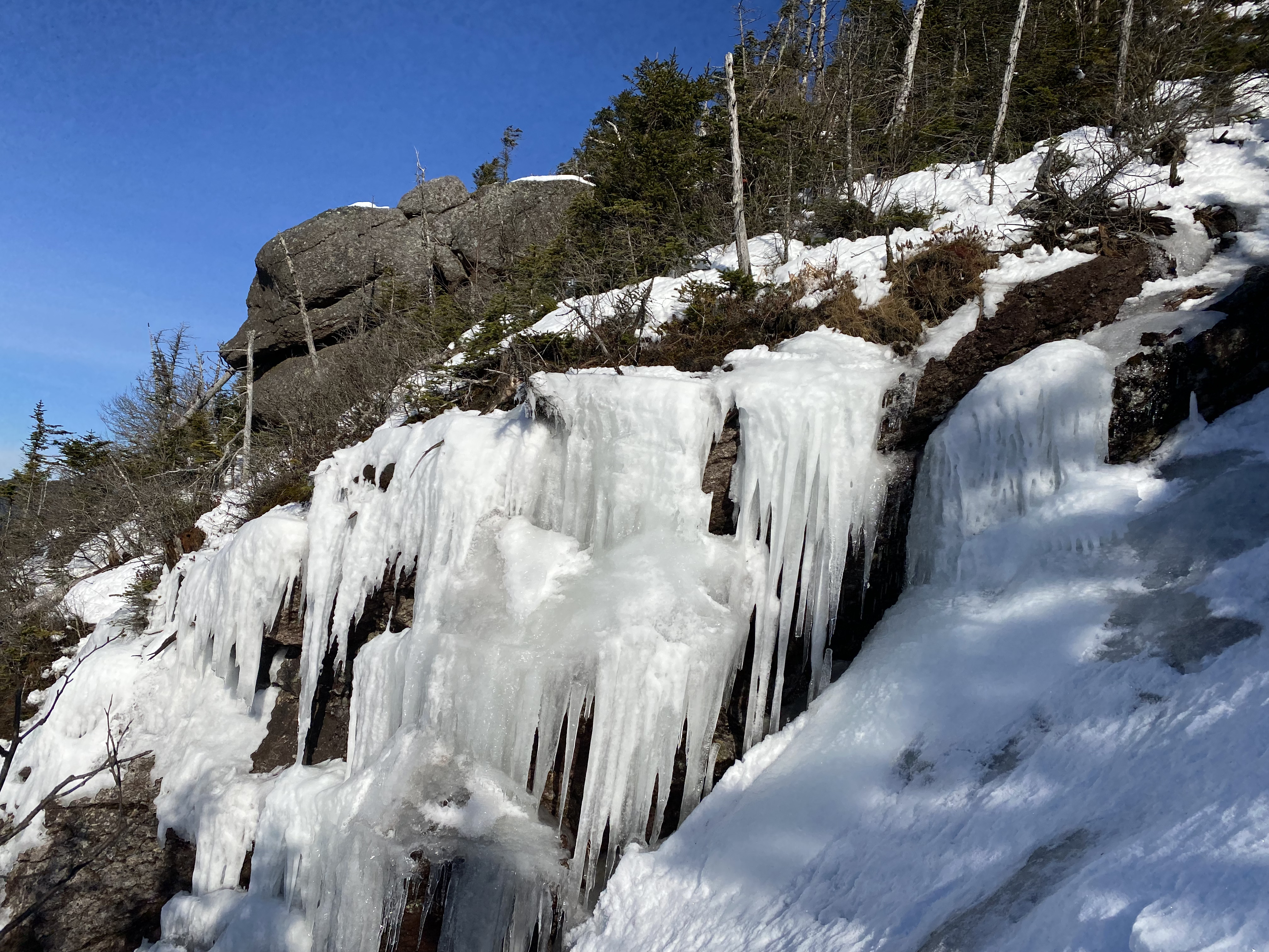
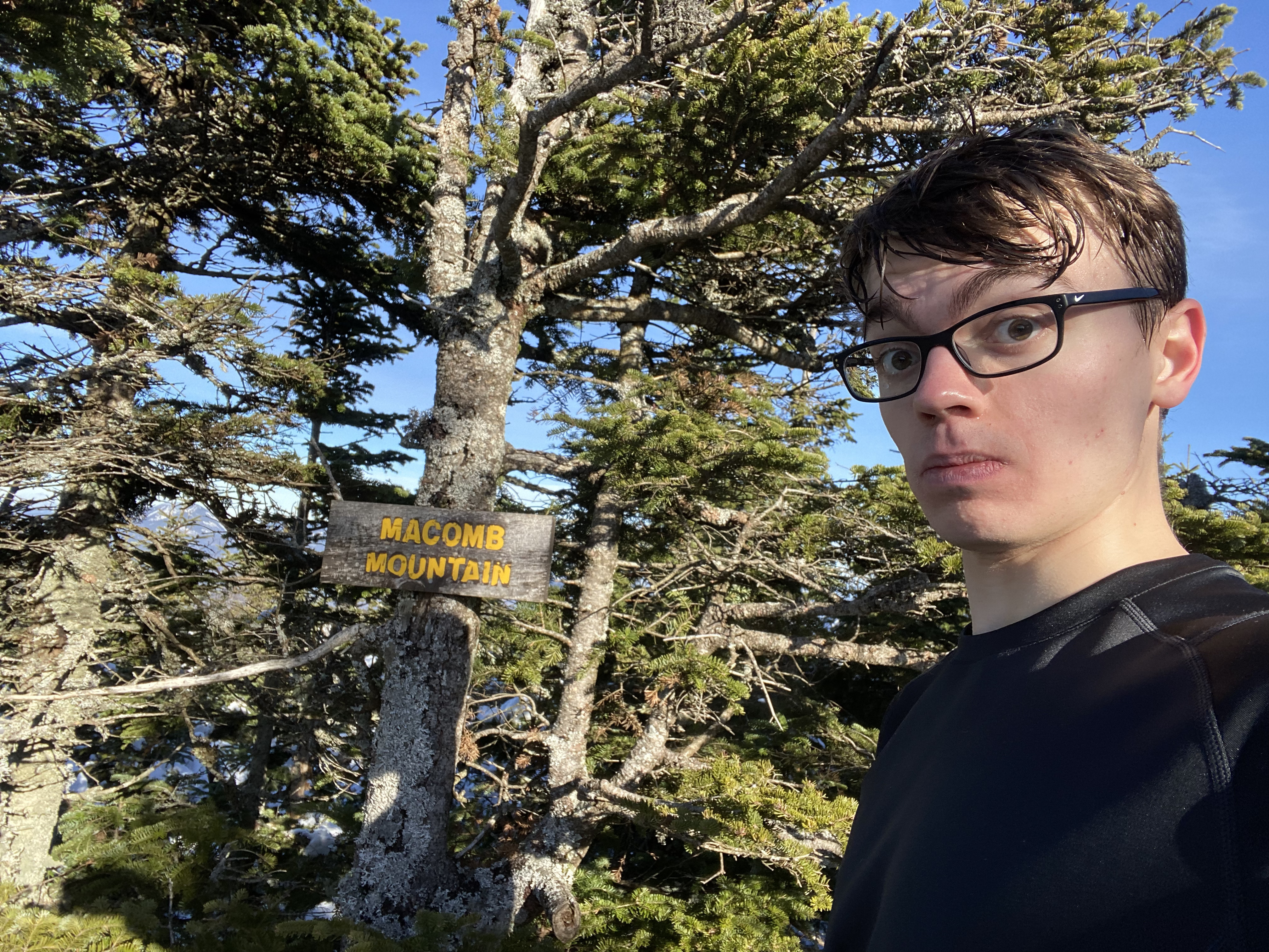
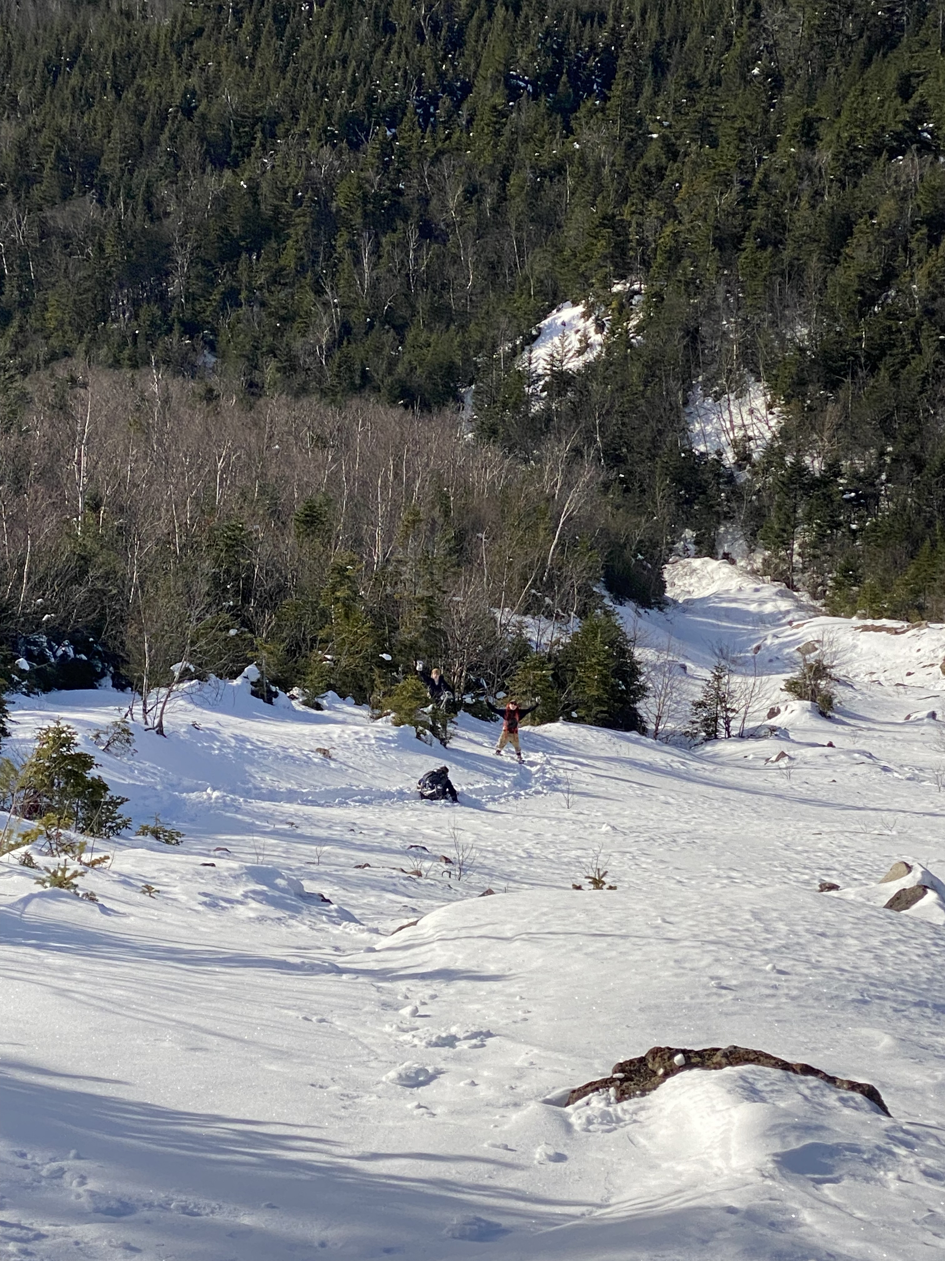
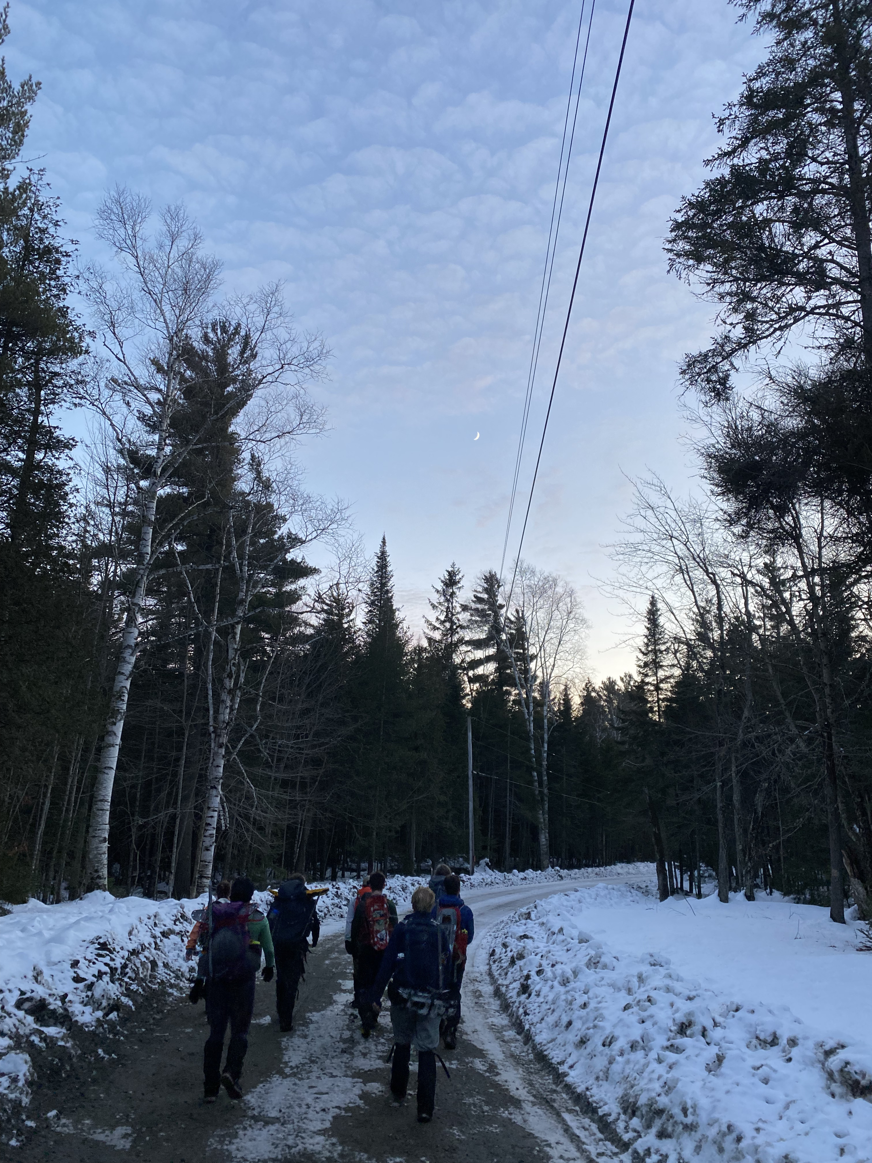
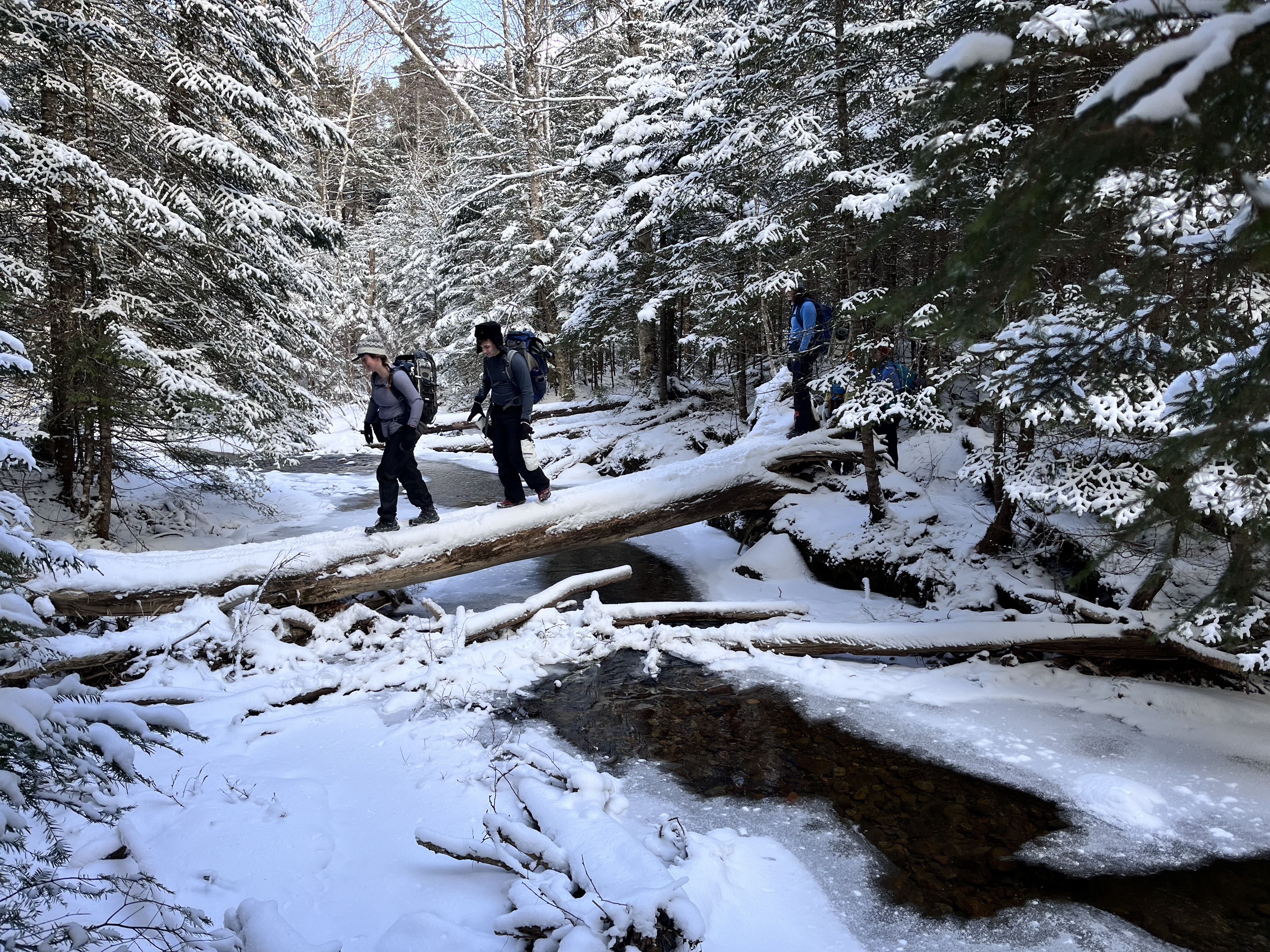
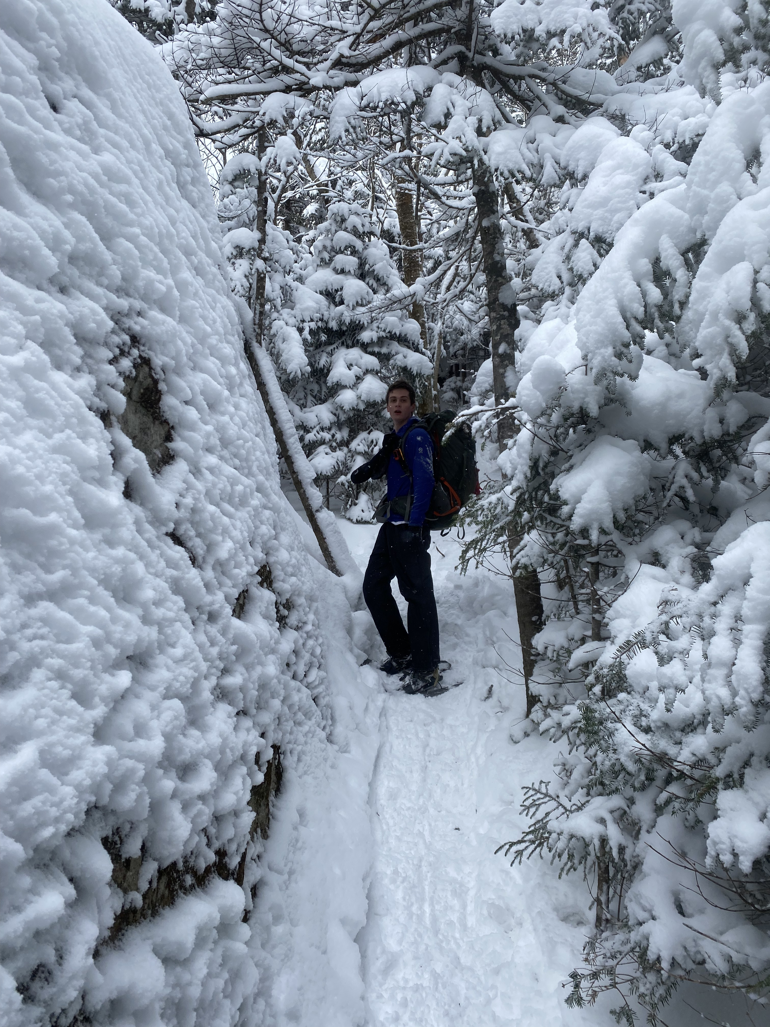
#21 - Macomb
12/16/23
13.97 miles
2866 ft gain
Known for the steep slide hikers ascend to its summit, which is the steepest section of trail in the
park, Macomb is
usually hiked together with the Dix Range. I hiked this with the Outing Club in the Winter, turning the
slide into an
epic mountaineering journey and butt slide. While this was not my first time snowshoeing, it was my
first time using an ice axe....
In the winter, the main parking lot is not maintained so hikers need to park at Clear Pond, adding
2.3 miles each way. The trail had about 1-2 feet of snow the
whole way, except for one washed out section towards the start. We should have taken off snowshoes
here because they would scratch on rocks and mud. On the way out
we did take them off. After a stream crossing, near a campsite, the Slide Brook herd path to Macomb
starts on the right. In the winter this trail was hard to follow and the poorly-broken trail didn't
help. My GPS watch along with others helped stay on track.
The slide is consistently at a 30 to 50 degree angle at parts,
but the snow had a frozen thick layer on the top (likely due to the sun melting it) that the
snowshoes didn't break through. We would plunge the spikes of our ice axes into the snow and take
two steps, repeat. Sometimes your shoe would
break through into thick powder. You'll
eventually reach a balancing rock at the headwall, where shortly after it gets to it's steepest
point. We scrambled up a section on the left with some difficulty. The
grade does not drop after hitting treeline so don't expect a break. The summit offers an amazing
Northwest vista, seeing all the way to Allen along with the Great Range. Descending Macomb was fun
because we could slide down the
slide on our butts. We had to slide down in self-arrest for the headwall though because there was an
ice formation at the base that could've hit us, along with some trees. Sliding was great
but, even trying to go as fast as I could, the powdery snow kept building up in front of me, slowing
me to a stop. The hike out was standard and we walked the road out in sunset. Total time: 9 hours.
Read More
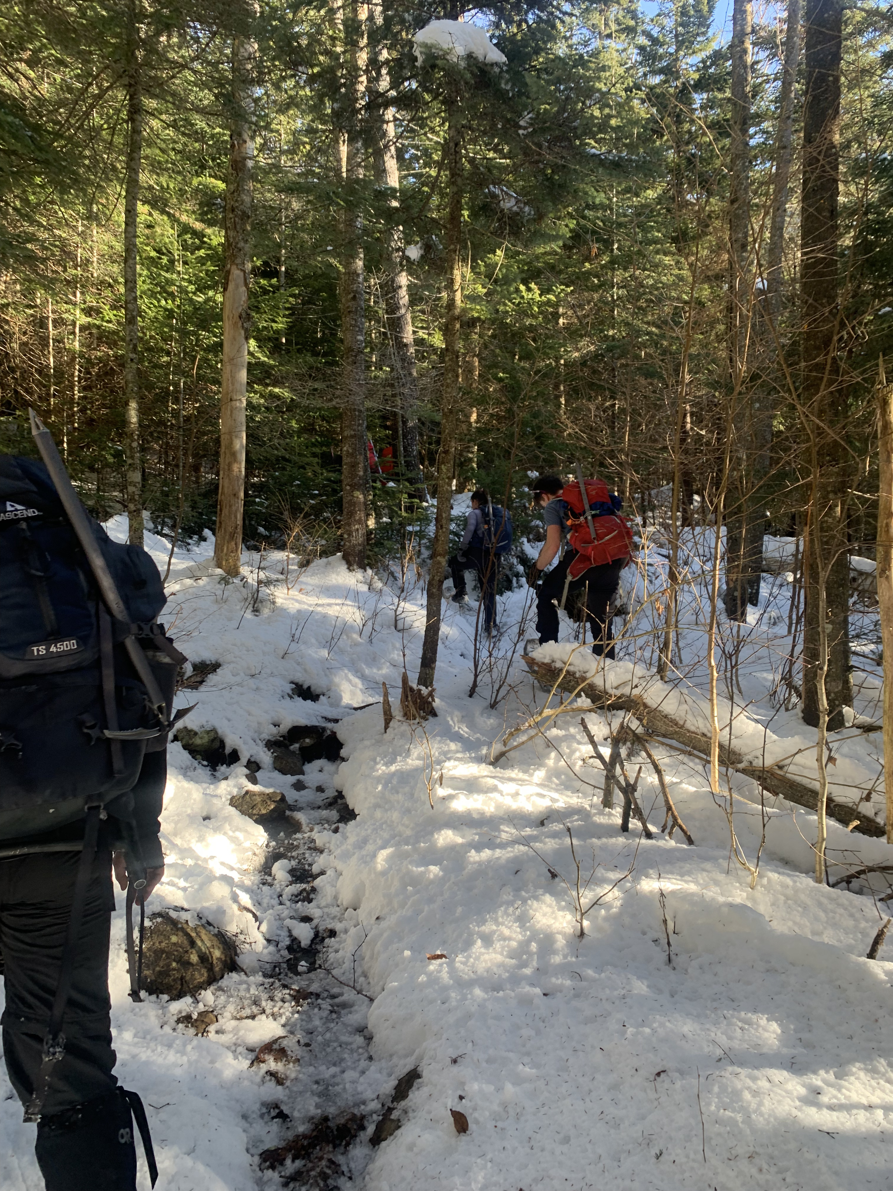
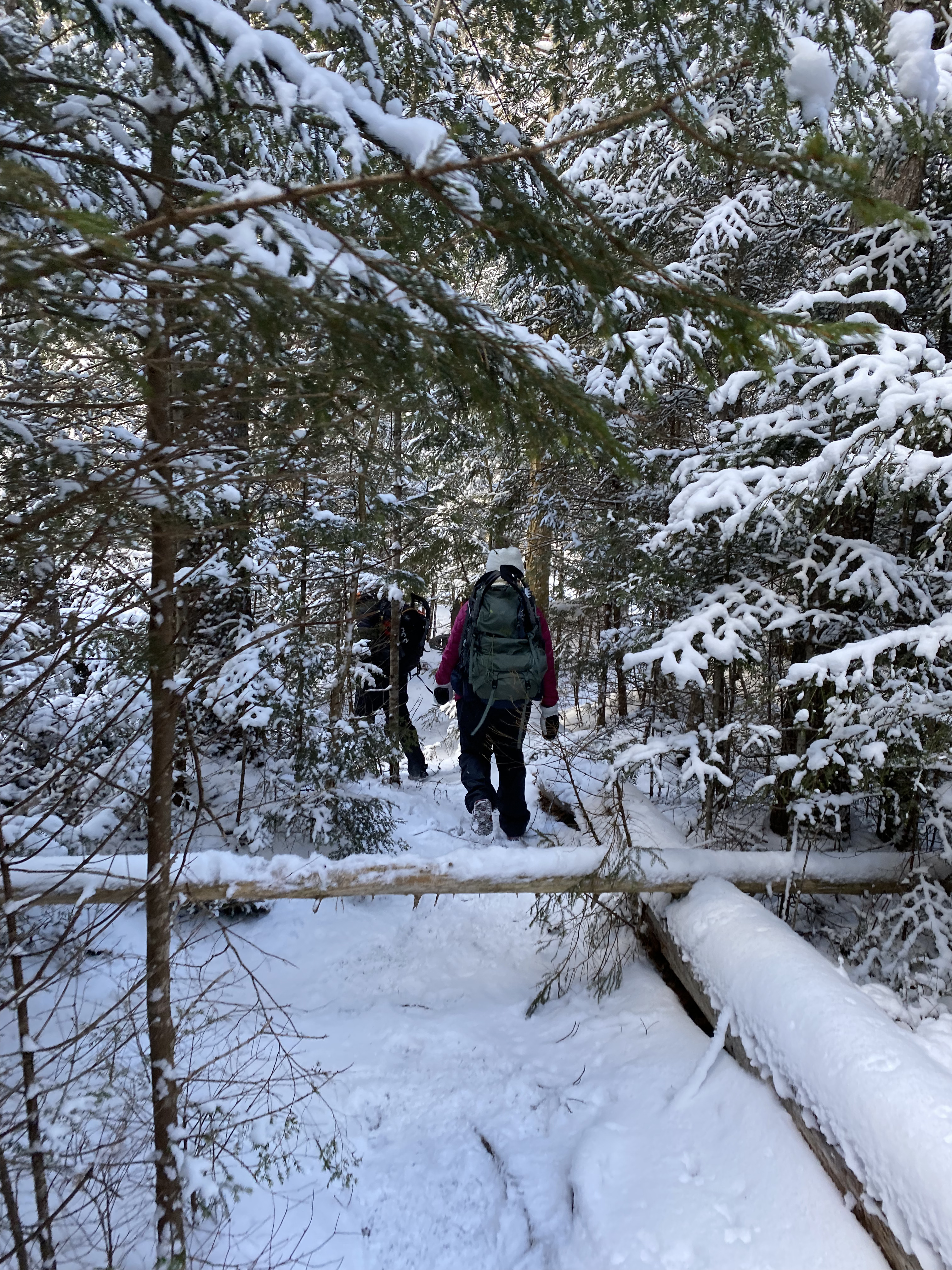
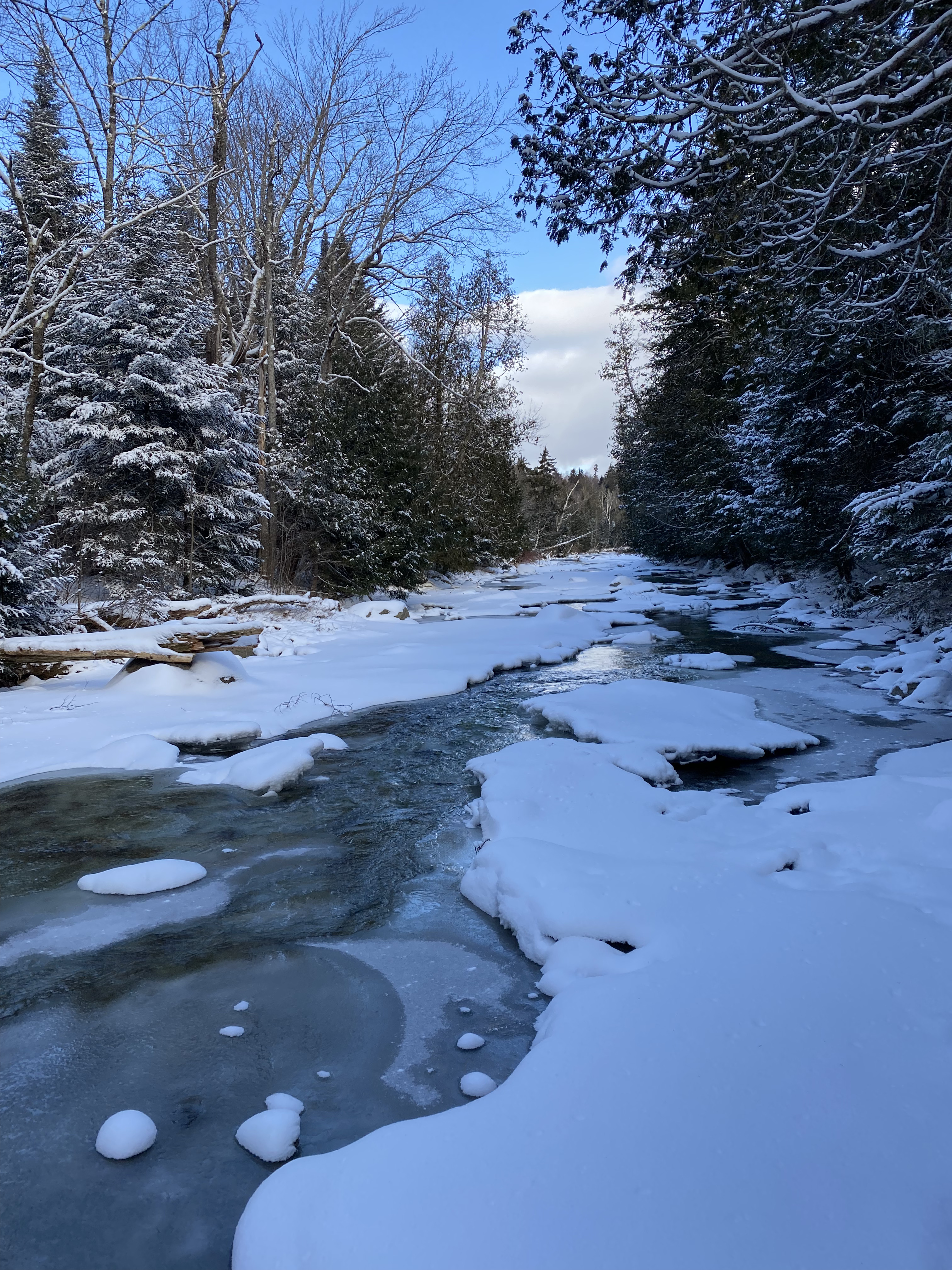
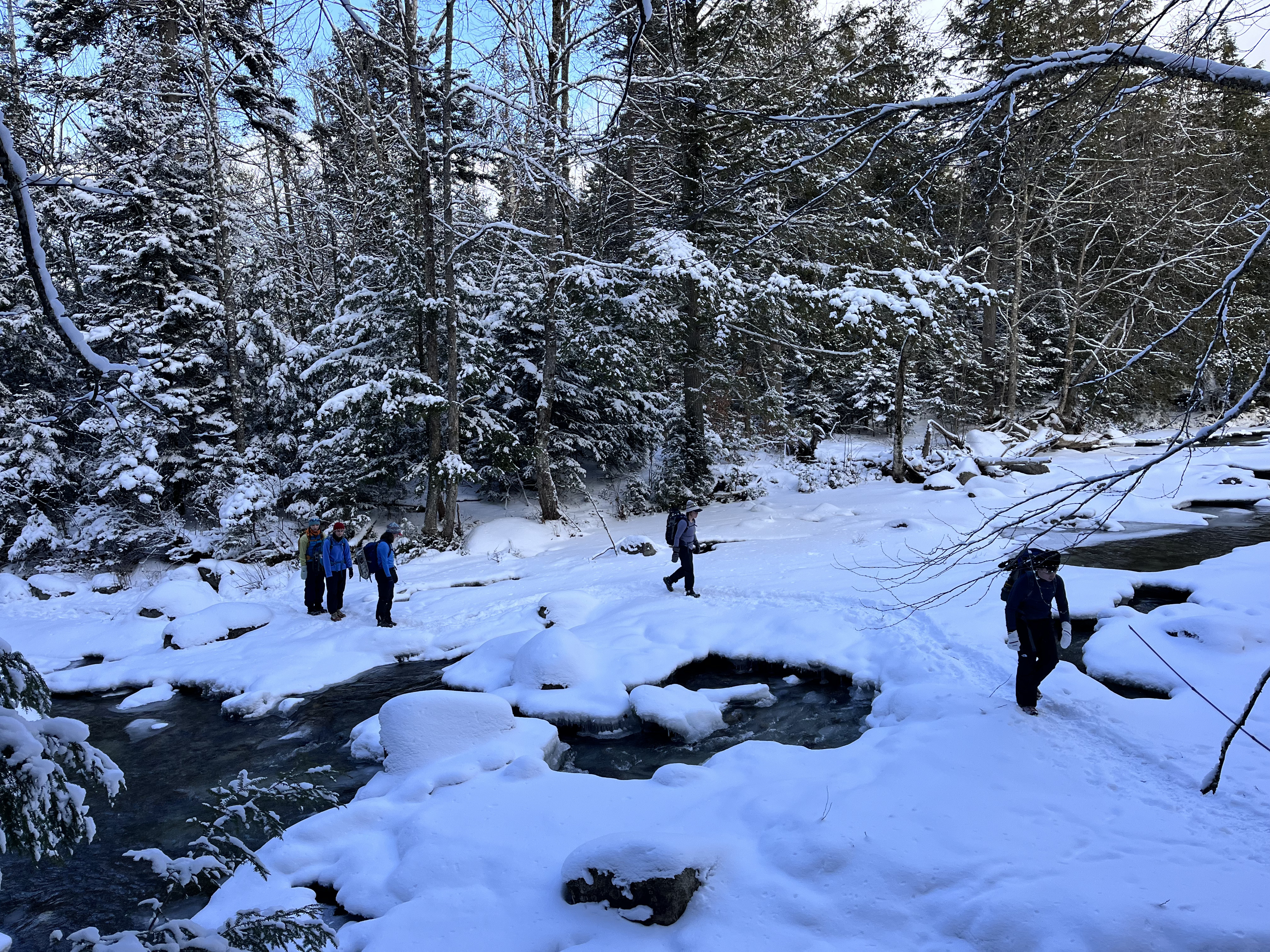
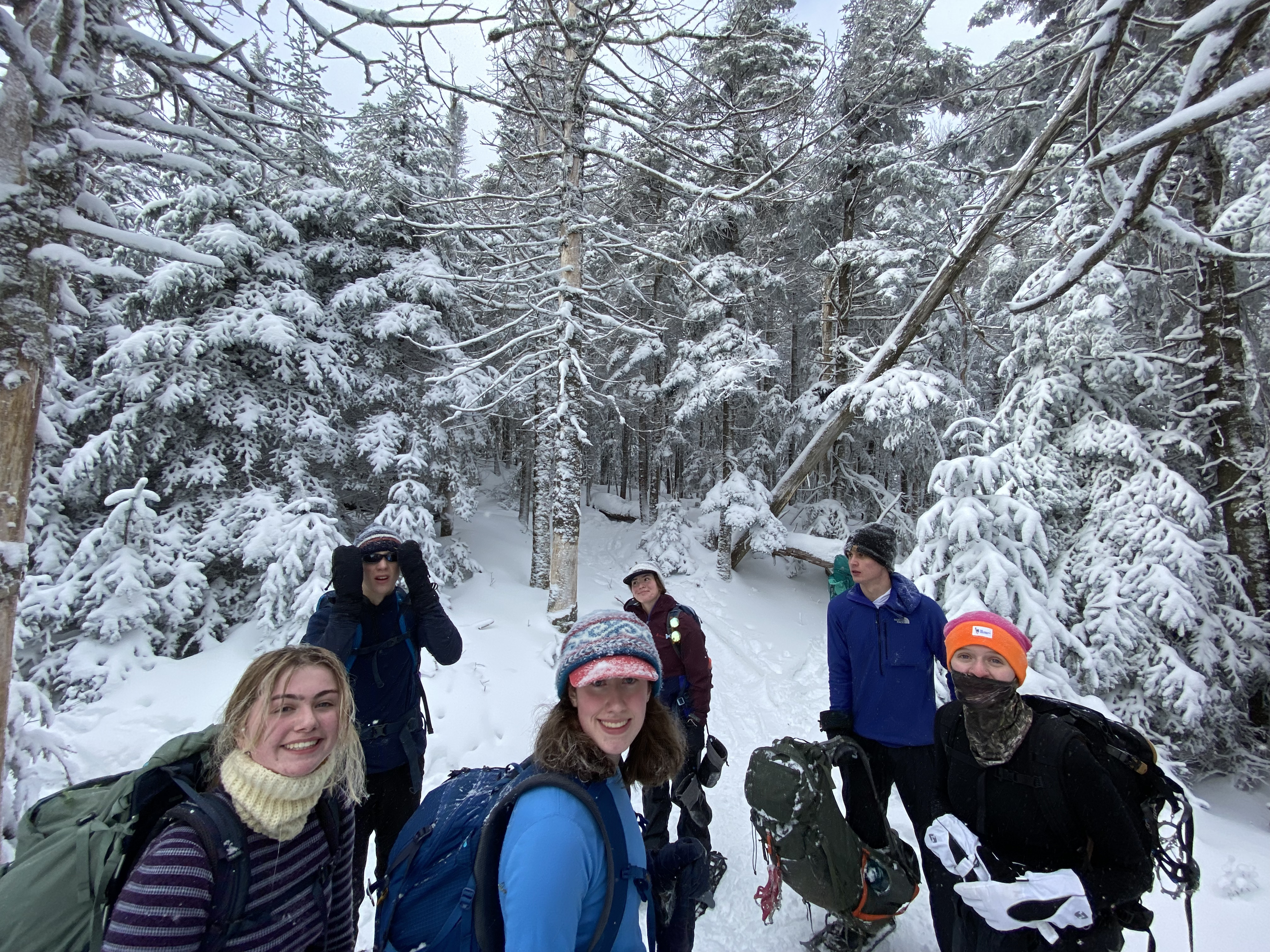
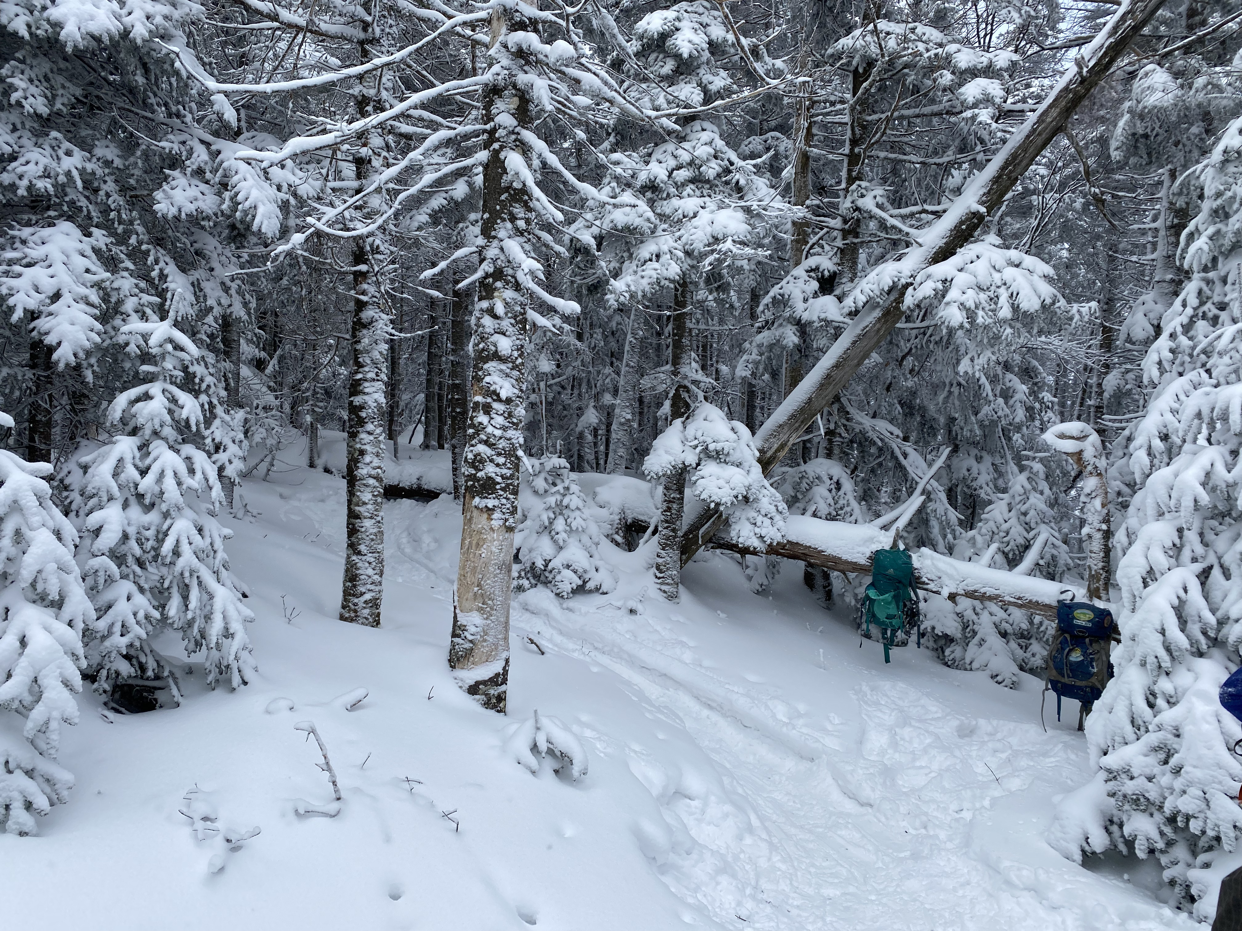
#22-23 - Street and Nye
1/15/24
10 miles
2997 ft gain
Street and Nye are hiked from the Loj through an unmarked trail that heads West past Heart Lake. These
are usually
relatively simple high peaks with the exception of a difficult stream crossing over Indian Pass Brook
which sometimes
may not be safely crossable. I hiked these in the winter on a subzero temperature day....
It had also snowed recently so the trail was well-packed. Our main concern was passing the brook,
which was possible through
a sturdy ice bridge just south of the main crossing. We had worn spikes up to the base of the
mountains where we switched to
snowshoes. This was an Outing Club trip and we had a relatively late start so we split our group in
half, for those who wanted
to push to the summits and for those who wanted to go slower. The trail was relativey standard from
here with the exception of
one more stream crossing via a log. Once you reach the junction for Street and Nye, Nye is about 5
minutes away and Street a bit
longer. We took a break for lunch and head up Street first. We had a cloudy day but some views could
be made out of the MacIntyre Range. We
tagged Nye and butt slid down the mountains, which was fun as always. We finished with no time
issues given our late start.
Read More
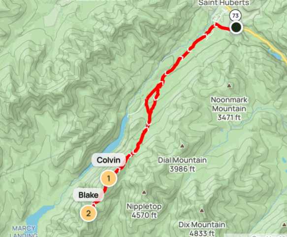
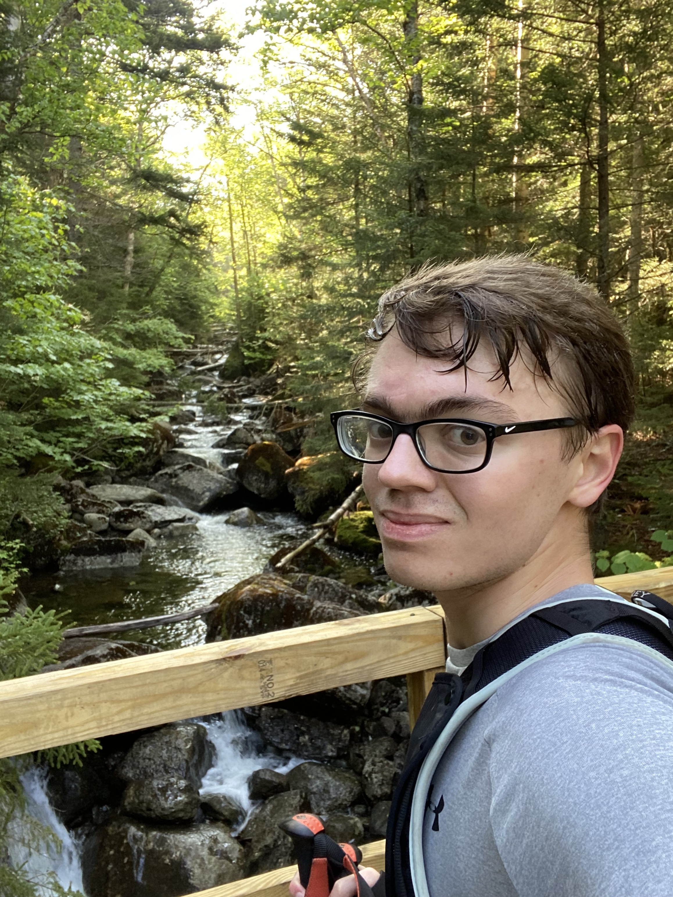
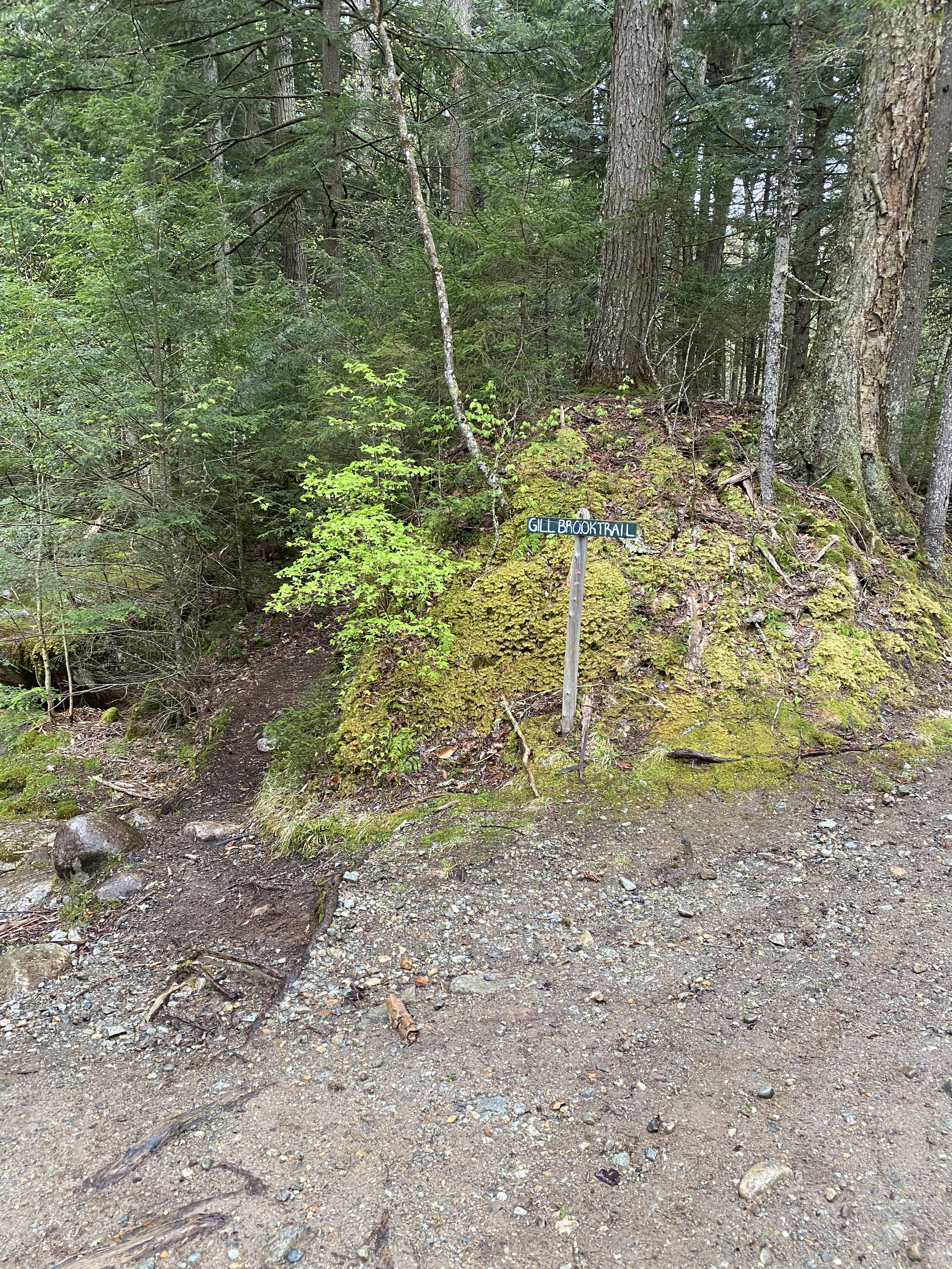
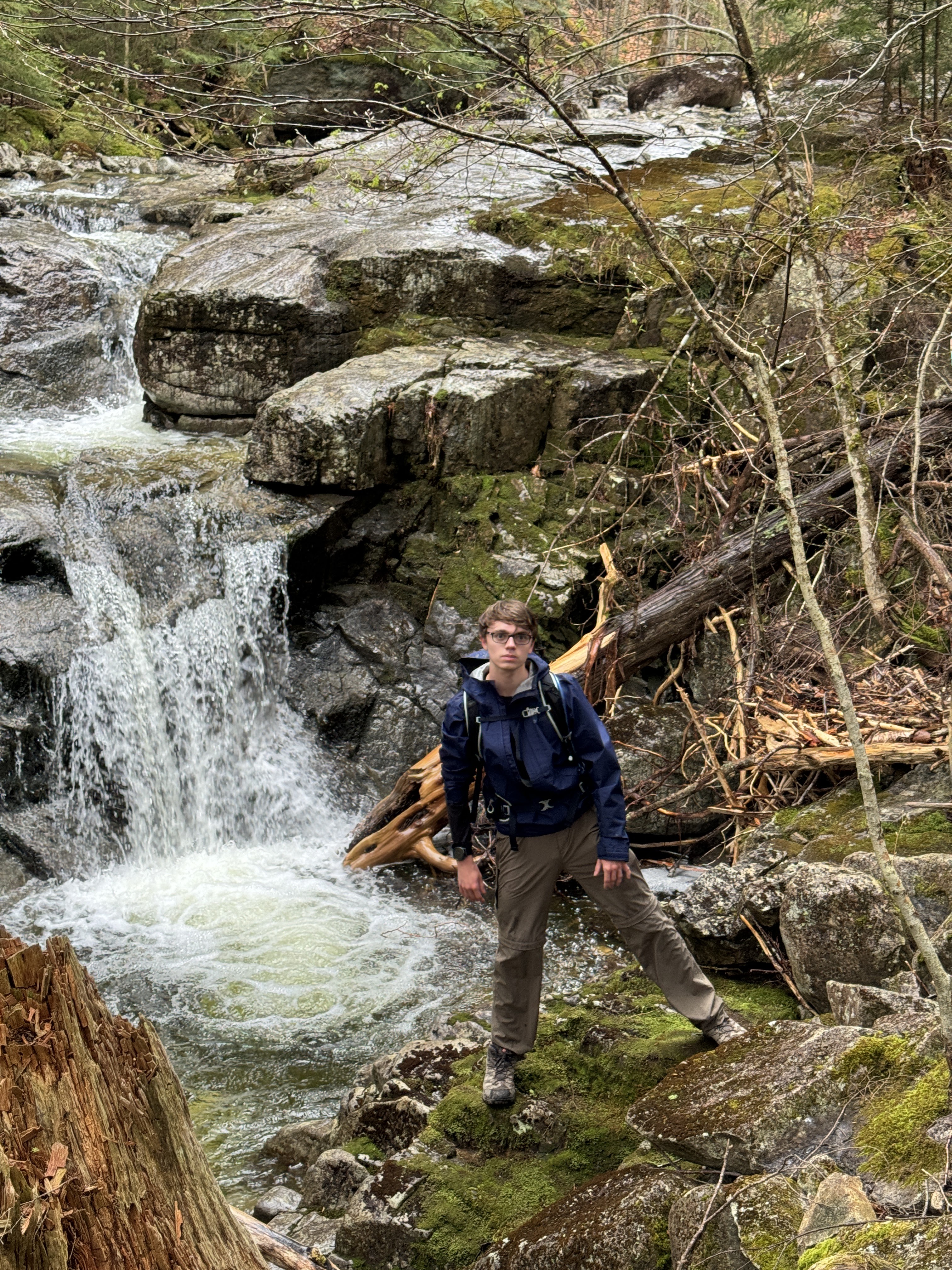
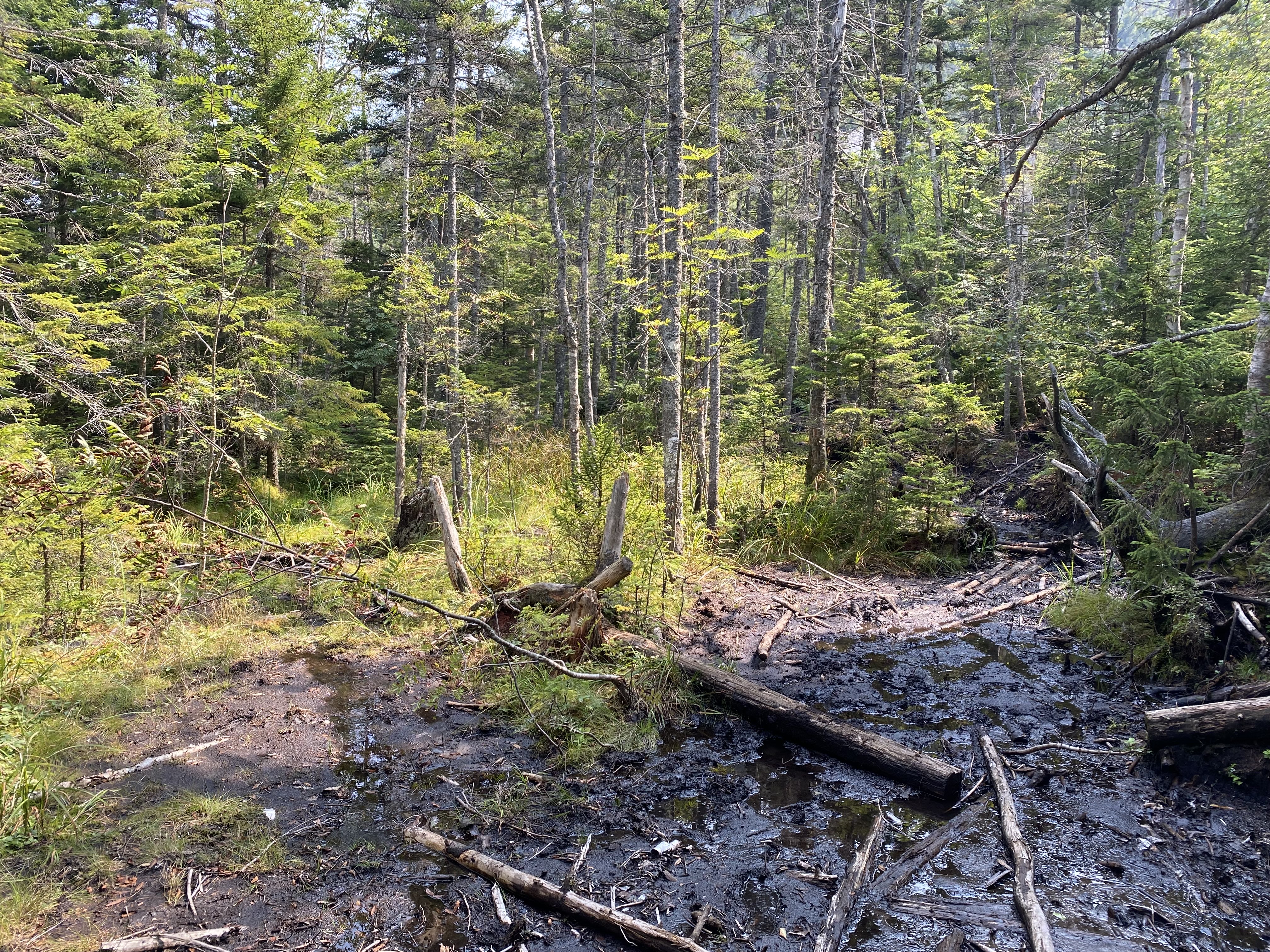
#24-25 - Colvin Blake
5/12/24
15.23 miles
4386 ft gain
Hiking in bad weather is an experience most people obtain at some point. Not only did I hike in mud
season, it was also raining the whole day. As such,
we naviaged snow/ice monorails above 3500ft, lots of mud, and slick scrambles. All this for barely any
views. This made the hike challenging but very fun
and rewarding....
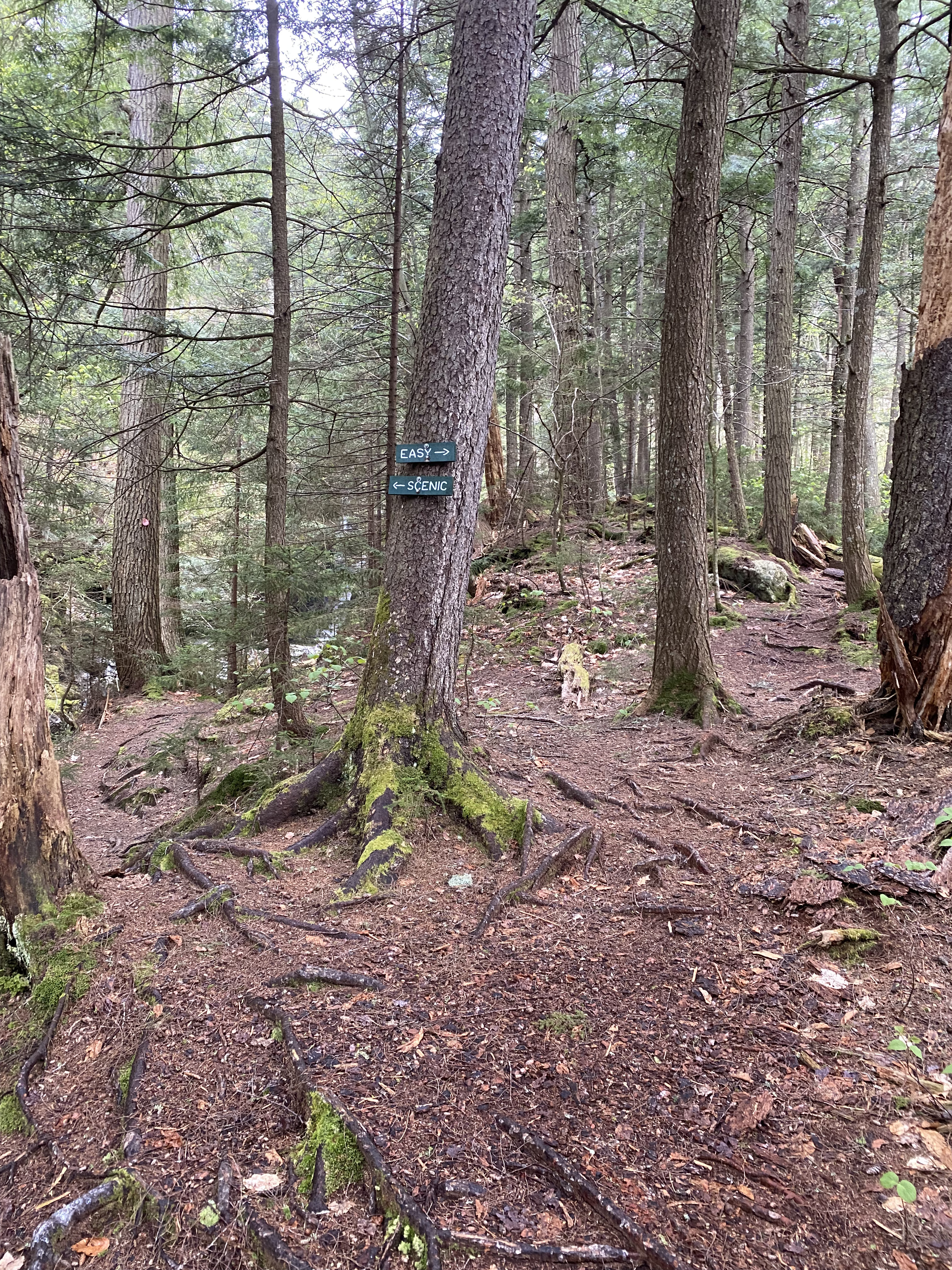
You start from the AMR and walk the road for about 2.6 miles to the Gill Brook Trail.
The Gill Brook Trail follows Gill Brook up to the turnoff between Nippetop and Colvin, Colvin being
to the right. The trail is easy and scenic, passing by
several waterfalls and other unique features. I highly recommend you take the "Scenic" routes on the
trail as they don't add much distance.
The trail gets rockier after you pass the turnoff to Indian Head but is not steep. After turning to
Colvin, things get scrambly.
Given this was mud season and in the rain, the trail had been wet up to now but after the turnoff it
was muddier. Snow monorails started around the 3500ft
"No Camping" sign and, by this point in the season, consisted of a thin layer of ice with some
hard-packed frozen snow in the middle, about a foot.
Since the trail was quite rocky, there were a lot of unstable snow bridges which one could posthole
through. My foot once landed between two rocks and I went to my crotch.
However, the monorail was not consistently there so we did not use spikes (we would've had to take
them off). Right before the summit of Colvin
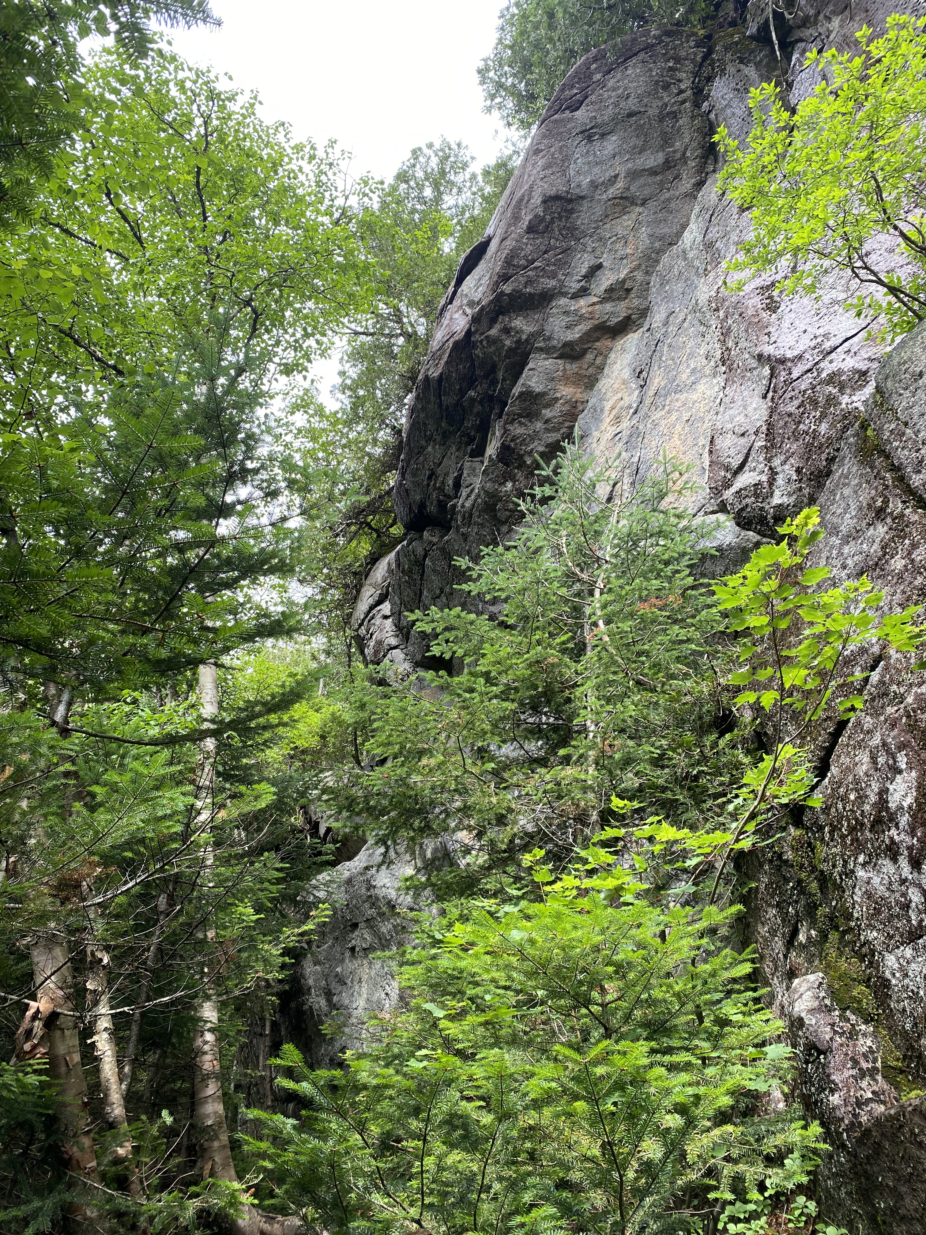
you'll face one big slab with little handholds to traverse which was scary because it was wet,
followed by a 30 foot cliff which the trail scrambles up around. There was a rope
to help along with a small ladder. Colvin had no views as it was in a cloud and rainy. Descending to
Blake was steep but assisted by several long ladders. Ascending
to Blake was the steepest part of the day with sustained scrambles, all of which had plenty of good
handholds by means of roots and trees. Blake is a viewless summit regardless of
conditions, but we were happy to have completed our goal. We were cautious on our descents but once
we reached the turnoff to Nippletop the rest of the trail was easy and fast.
We took the cutoff trail to Lake Road and opted for the long 3.3 mile road walk.
Read More
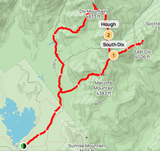
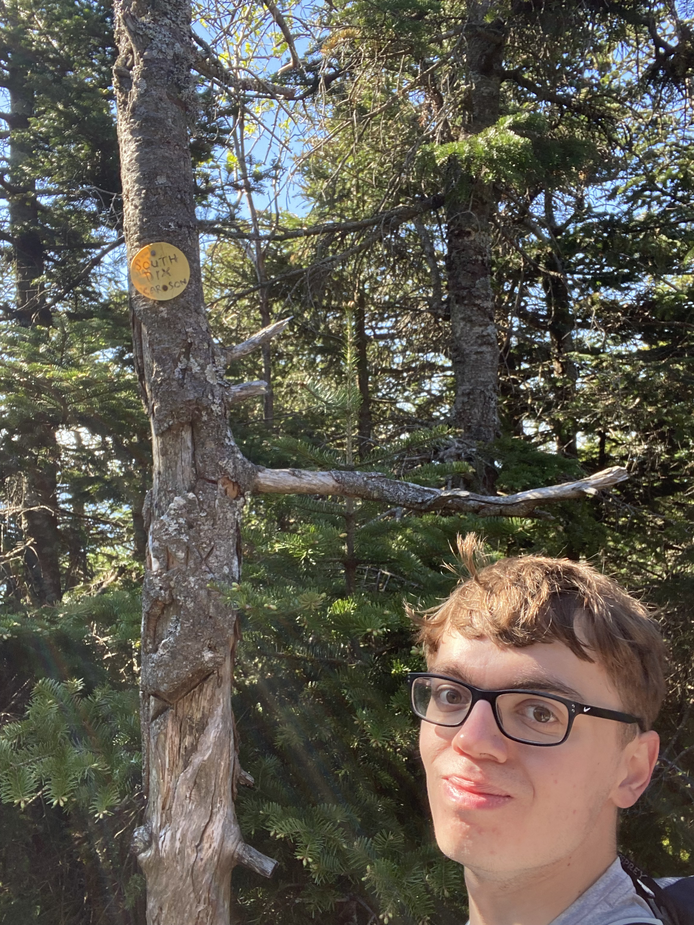
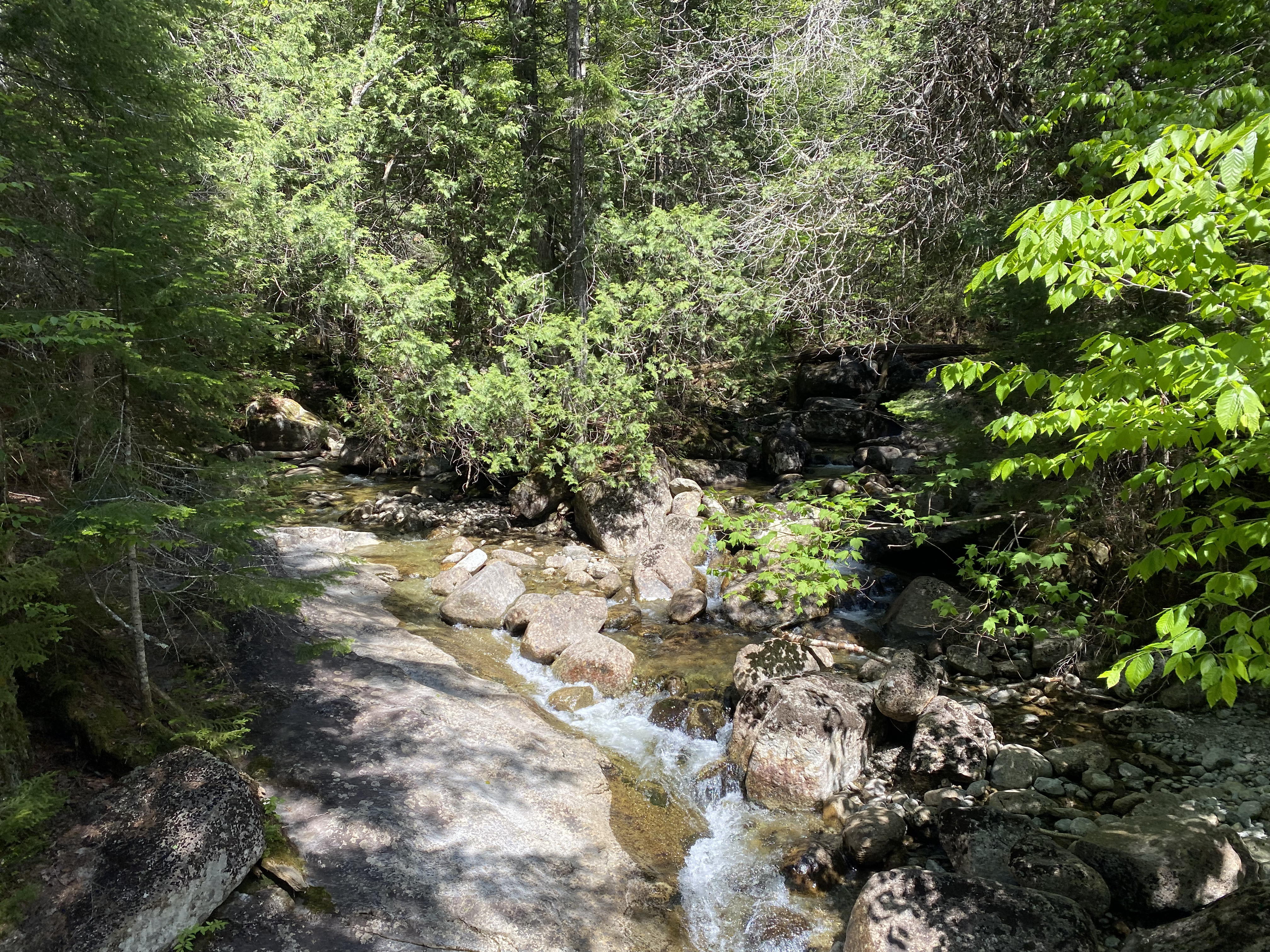
#26-29 - Dix Range
6/1/24
16.41 miles
5830 ft gain
The Dix Range was my favorite day hike as of the time I completed it. The views on this range are
unparalleled, you're often near
treeline or on a ledge, the terrain is super engaging and scrambly, and it's tough! I hiked this the day
before my 21st birthday and
I don't think I could've picked a better trip....
Make sure you get to the Elk Lake lot EARLY. We were within 5 minutes of it filling up at 6 AM. The
most common route for this range is
to ascend Macomb via the Slide Brook trail, hike counter-clockwise up to Dix, and take the Beck Horn
trail down. Climbing Macomb slide is a great
morning wake-up, though it's the steepest part of the day. The slide is mostly scree (dirt, gravel
and lots of rocks) but it wasn't scary to
ascend. Some parts turn to rock slabs up to a 45 degree angle. For this part, I highly recommend
keeping right. After this, you'll have a short,
steep path to the summit, offering amazing westward views. Descending Macomb is quite standard,
followed by some simple but fun exposed scrambles
to South Dix. The summit marker is just beyond in the trees. South Dix to Grace is a longer path
with a little mud in the middle. I highly recommend
checking out the Great Slide lookout on Grace, it's less than 5 minutes extra and an amazing view.
After these, I started to get tired. Hough's
ascent starts by going over the false summit "Pough," followed by a quick and steep ascent to burn
you out. Make sure to climb the cool layered
rocks near its summit, but you can go around if you want. Going down Hough I fell down a small
mudslide. My shoe lost traction in some steep mud and I slipped down. From here,
Dix is a slow and steady push up about 800 feet, offering several amazing views on westward ledges.
The Beck Horn is steep and scrambly, you can either climb this crack or
go around for a more wooded ascent. From here, the traverse to Dix's narrow ridgeline is quick.
After we had our well-deserved time on Dix, we descended
the steep scrambles at the top of the Beck Horn trail. We finished just under 10 hours.
Read More
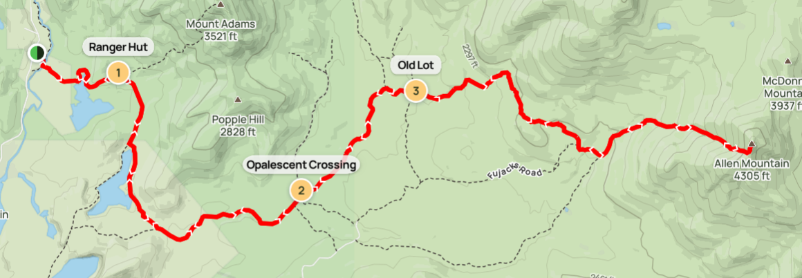
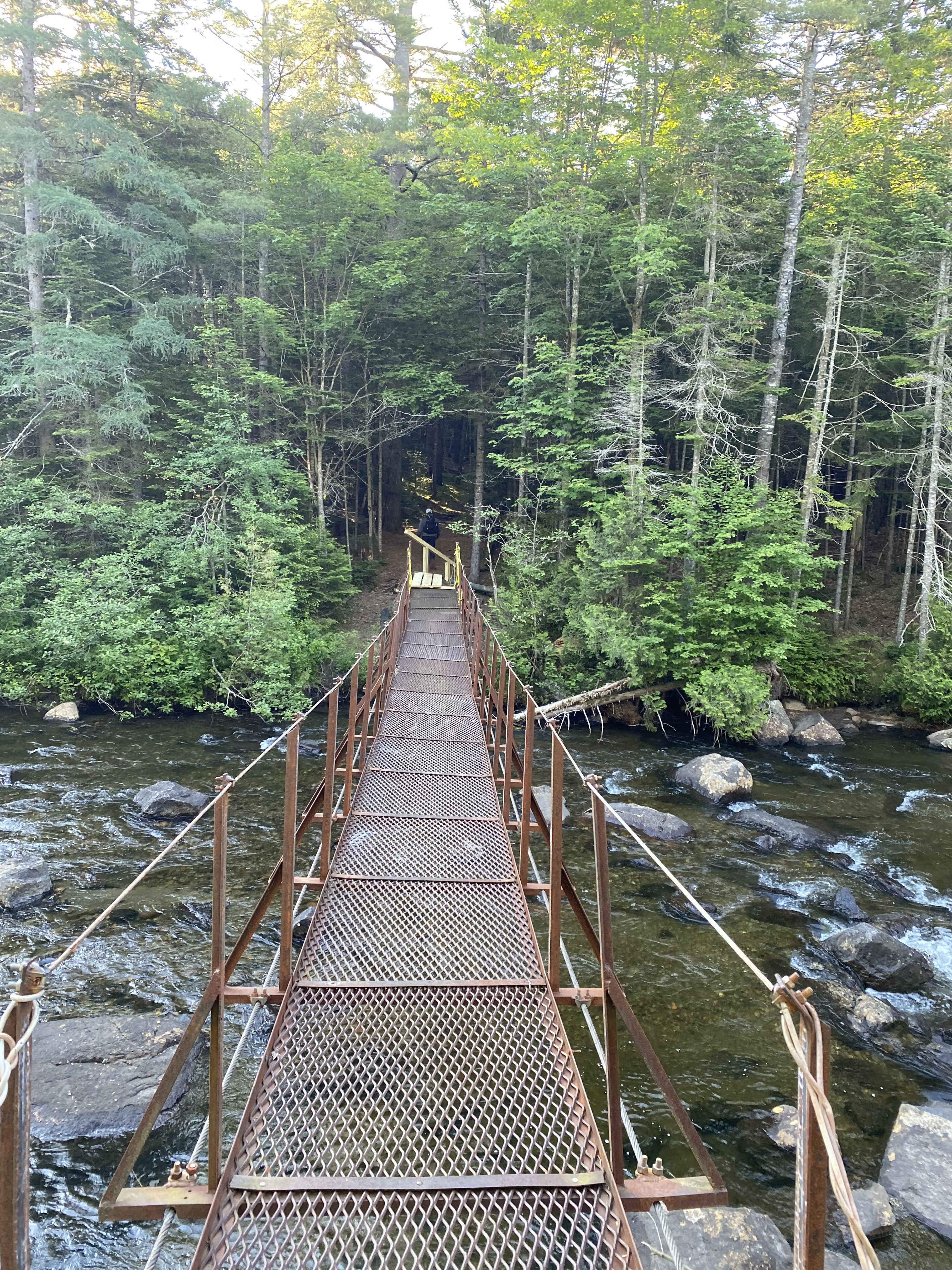
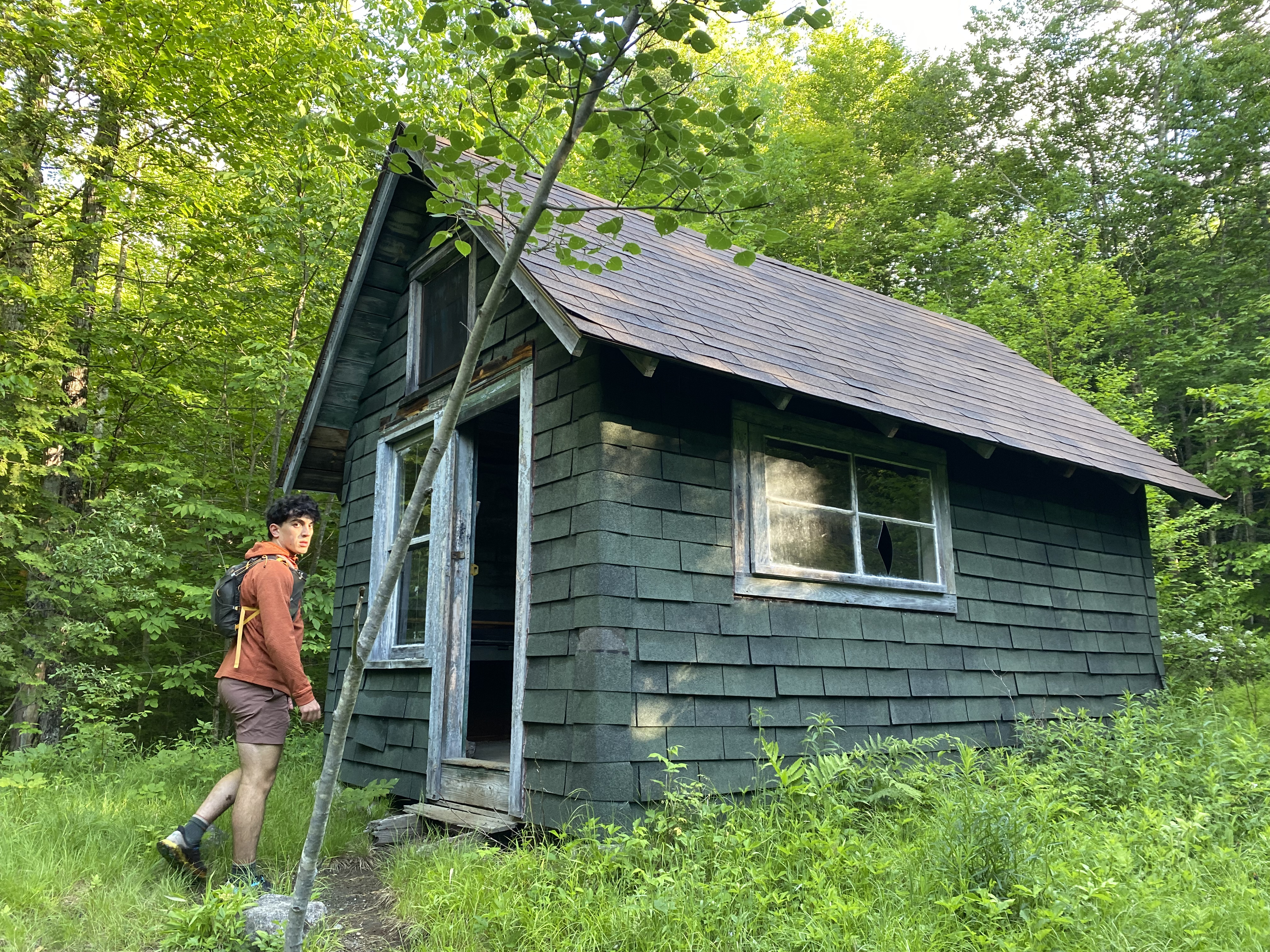
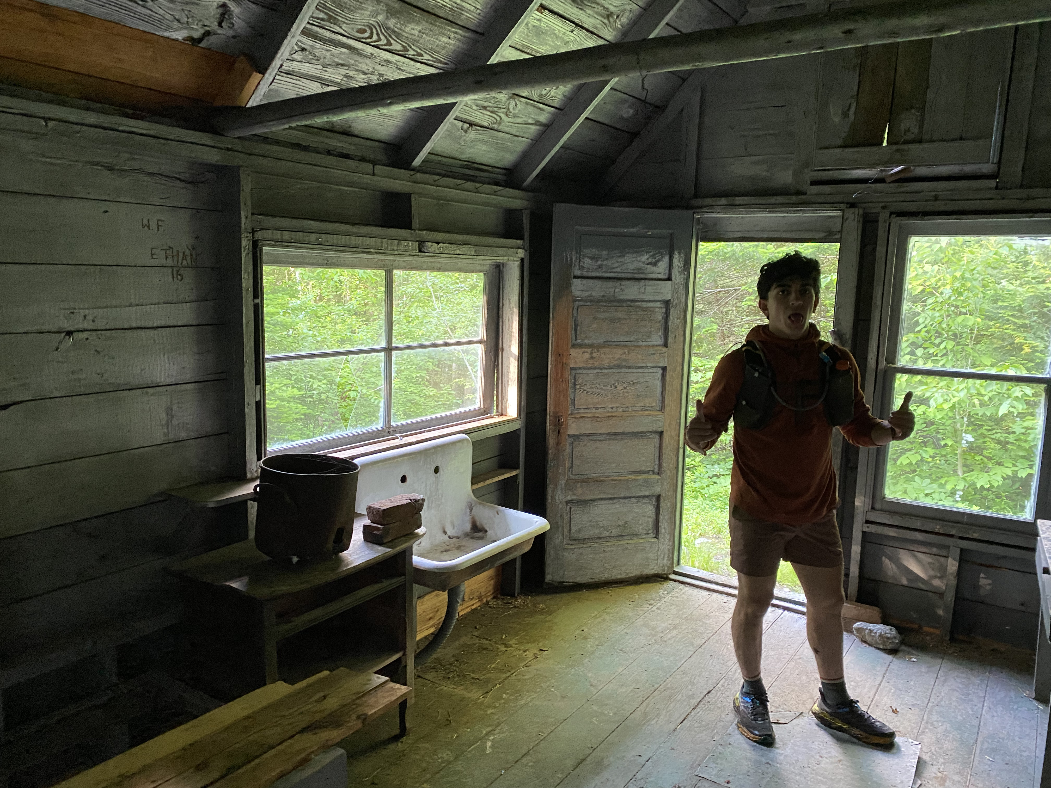
#30 - Allen
6/15/24
19.37 miles
3947 ft gain
Allen is 19 mile trek and makes for an epic day, but make sure you're prepared. Allen is often
considered the hardest high peak, which I can definetly see. The path to
its base alone is over 8 miles filled with thick mud and several stream crossings, one over a river
without a bridge. Then, the climb up Allen is very steep and some of
the slipperiest terrain I've dealt with, thanks to the red slime on the rocks and the fact that the
trail IS Allen Brook. However, Allen rewards you with some of my favorite
views that made this easily one of my favorite days....
Allen primarily follows the East River Trail: a network of trail segments and old logging roads,
until you'll turn off to Allen on an unmarked trail. You'll start from the
Mount Adams Parking Lot at Upper Works. The first section of the trail will cross the Hudson on
bouncy metal suspension bridge and take you around Lake Jimmy to the Mount Adams
Ranger's Hut. The bridge over the Hudson used to also be slanted but recent trailwork seems to have
fixed this. Long ago, Lake Jimmy also had a bridge across it, but now it
heads about halfway across and stops. The Ranger Hut is abandoned and open for exploration. It still
contains a bedfame, sink, a cabinet area, and a shed just beyond it in the woods.
After the turnoff to Mount Adams you'll take a short logging road to Lake Sally and turn left
through the first and probably most muddy part of the day. Don't even bother trying
to rock hop this, as there's no rocks... Power through and accept that your feet will be wet for the
rest of the day, mine sure were. The muddy trail will stop and you'll hike along
another road past some marshes, providing glimpses of Allen in the distance, and then follow the
Opalescent River. About 4 miles in, you'll cross the Opalescent, which used
to have a bridge, but it has been washed away. The best way across is to ford it, you should really
wear trail runners on this hike. Continuing on, you'll pass a turnoff towards
the Flowed Lands marked by a wooden arrow saying "MARCY" and then reach a final logging road, where
about 50 feet left you'll reach an old parking lot. Apparently this used to be a
trailhead and had a register, but we couldn't find the register and the lot has since overgrown. Now
you're on the "official" herd path to Allen. You'll ascend over a small hump, cross
several streams, and then descend to Skylight Brook. Crossing Skylight I chose to ford once again. A
short while later, you'll reach Allen Falls and have officially made it to the base.
Allen is hard for its distance, evident by this trek to the base, and its wicked steep and slick
ascent. You're ascending Allen Brook, so water is constantly flowing down the trail.
On top of this, the trail is covered in red slime, which is some form of bacteria or fungus, that
waits for whoever unluckily steps on it. We found it as slick as ice. Some people
use microspikes on the bare rock here, which we brought, but didn't find a need to. As you exit the
brook, Allen opens to a slide. The first part follows a section in the trees to
the right, then opens up again to an even bigger slide. You'll spot a small cairn, KEEP LEFT! DO NOT
go up the slide, the trail goes left. After the slide, it's a short but steep
wooded ascent to the summit ridge. Allen provides an amazing view looking North, where one can see
into Panther Gorge, Dix Range, and more. Take note of the Allen tree. There is also
a great view westward just before the sign.
Read More
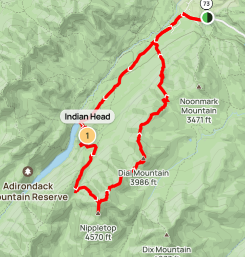
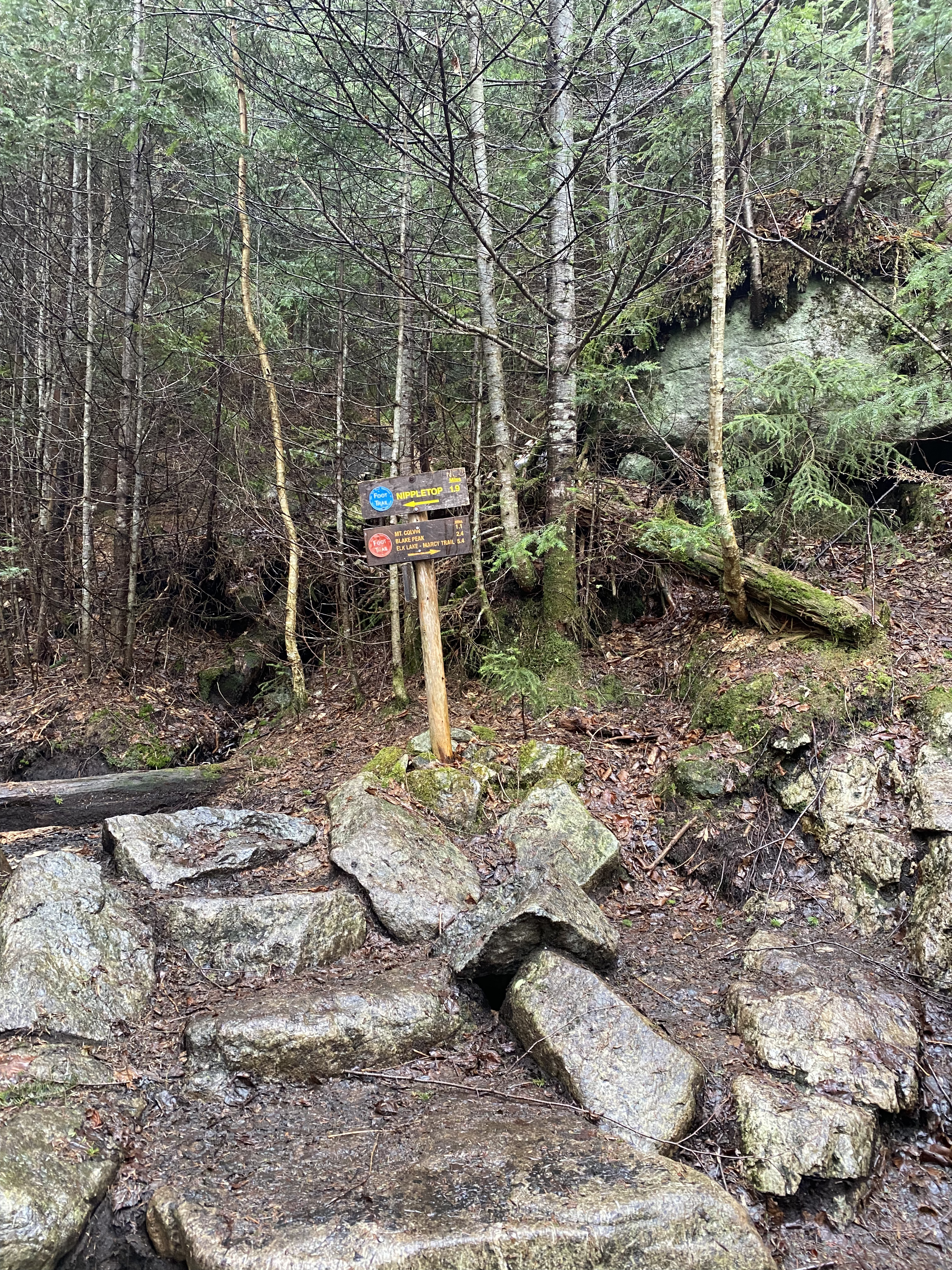
#31-32 - Dial Nippletop
7/2/24
15.16 miles
4813 ft gain
Hiking Dial and Nippletop will place you on a ridgeline offering many nice views of the Great Range and
other surrounding areas. Commonly hiked
from the Ausable Mountain Reserve parking lot, I would recommend tagging on Indian Head for even more
scenery. The more common route would be to
take the Gill Brook trail. Regardless of your path, I recommend ascending Nippletop from Elk Pass and
then traversing down the ridge over Dial....
Hiking from the AMR requires a reservation. Having done this on a weekday, this was no problem for
me to obtain. Since this was a weekday, I solo hiked. This
was the first time I have solo hiked since the previous summer. You'll hike along Lake Road, the
length
of which is your choice. The Gill Brook trail starts around 2-3 miles in while the Indian Head trail
starts around 4 miles in (at the end of the road). I
chose to add Indian Head as I've done Gill Brook when I did Colvin Blake. Indian Head's trail is
relatively uninteresting and very wide and messy, resemblant
of the many people that hike it. However, this small mountain offers some of my favorite views of
the park. Make sure you take the trail to Fish Hawk Cliffs and not the other sign pointing to
"Colvin." Counterintuitively, the
way that says "Colvin" is by far not the shortest path to Colvin/Nippletop. You'll traverse back to
the Gill Brook trail and ascend to the intersection of
Nippletop and Colvin. Continuing on you'll briefly lower into Elk Pass, the col between Colvin and
Nippletop. From this, ascending Nippletop is steep and
consistent. I didn't find this ascent technical or scrambly, contrary to Colvin and Blake. At the
top, there is a 0.2 mile muddy spur to the summit of Nippletop.
Nippletop offers great views North and be sure to continue past its summit for a smaller view of the
Dix Range. Traversing down to Dial, the terrain is easier
and not as steep, though it remains muddy. Dial offers more views, similar to Nippletop, to the
North. Neither Dial or Nippletop are a marked summit, though both
are noted by large rocks in clearings. After Dial, you'll begin a large decent, go over the viewless
Bear Den mountain, followed by another large descent. I found
the hump after Bear Den offers a lot of good views, most notably from an open slab of rock, looking
back towards Dial and the Great Range. The Leech trail down
from here to Lake Road goes by quick, but was honestly the slipperiest part of the day. Consisting
mostly of steep dirt, some of which was slicker mud, I did slip
and fall once here. I found parts of this terrain runnable so I sped up my day with some short trail
running.
Read More
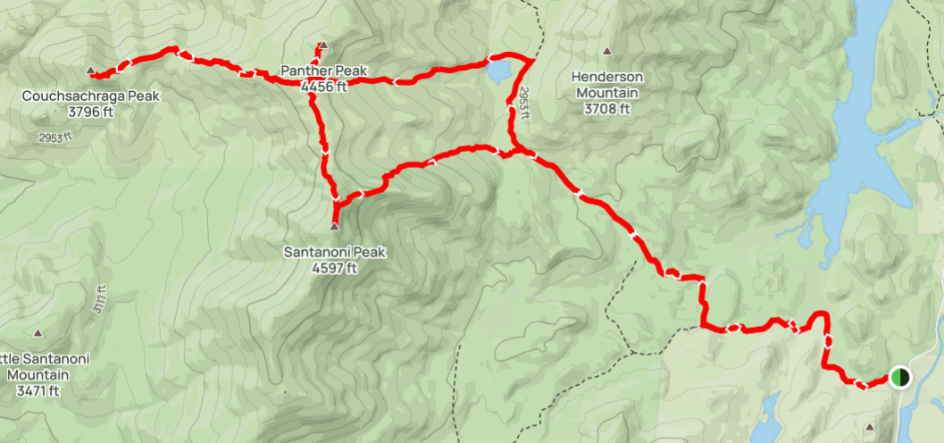
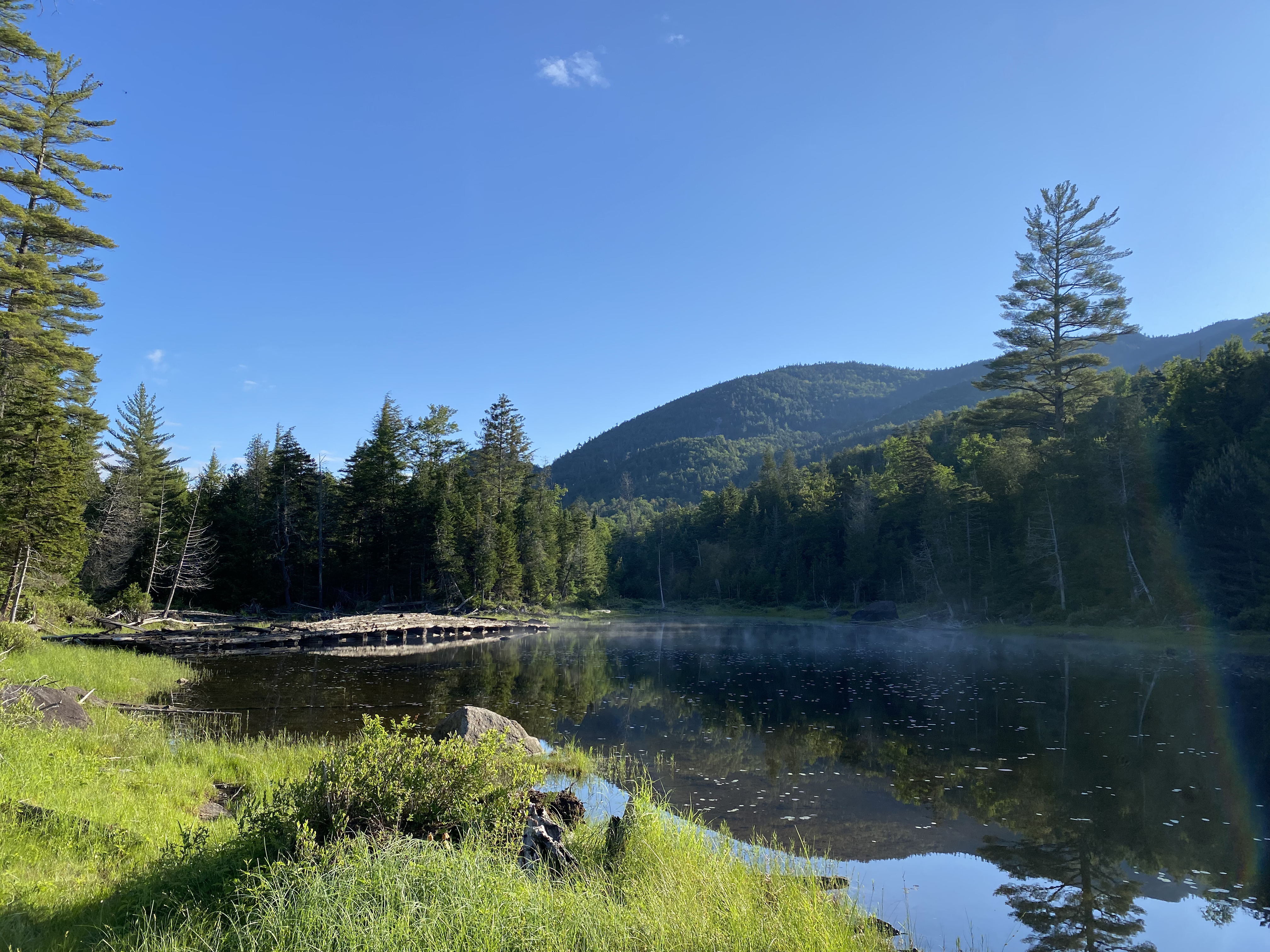
#33-35 - Santanoni Range
7/7/24
16.21 miles
5085 ft gain
The Santanoni Range has a reputation for being very muddy, unfun, and lacking of views (Couchsachraga).
However, I
didn't find it as bad as I've heard. Also, the whole range including Couchsachraga offered nice views. I
will say though,
you need to be happy in muddy terrain or, like Allen, you'll probably be cursing the whole way. This was
a fun day with
challenging conditions....
You start with a 1.5 mile road walk on the old Santanoni Road and then turn onto the Bradley Pond
Trail. This trail follows
Santanoni Brook up to the turnoff for the Santanoni Express Trail. I recommend continuing on 0.6
miles to the Panther Brook Trail to
Times Square and descending the Santanoni Express Trail. The Bradley Pond Trail is a mixture of mud
and rock hopping. When you reach
the Panther Brook Trail, despite being a herd path, it's marked by a sign. This trail ascends to
Times Square: the four-way intersection
for Panther, Santanoni, and Couchsachraga. The first half of this trail is dirt and roots, before
intersecting and following Panther Brook
itself for the second half. As such, the trail becomes very rocky, slow terrain as you navigate
through large rocks with water flowing down.
Once at Times Square, we did Panther first because of its proximity (~0.2 miles). This is where the
mud gets stronger and unavoidable. After
a short scramble, you'll reach Panther's viewpoint and its true summit sign is just beyond in the
trees. Back at Times Square, you'll continue
left, do not go straight as this is a false path (marked by down branches in front). Shortly you'll
reach a second junction: left past a boulder
to Santanoni and right to Couchsachraga. Couch, for short, is a long 1.5 mile spur out which
descends nearly 1000ft. Don't orphan it! The trail
down is mostly wet slabs which get steeper at the base, followed by easier dirt/root terrain. In the
col you'll reach the infamous Couchsachraga
bog. I strongly recommend going straight through on the branches as it's easy to balance. A couple
scrambles and a short ascent to Couch and you've
made it. There is a great viewpoint just shy of the summit. The out-and-back to Couch took us about
2h30min. Heading to Santanoni is still muddy
and is mostly more slabs. Santanoni offers the best views of the three. When ready, take the
Santanoni Express down. This trail was slow and mostly
half-wet slabs mixed with mud, plus one really sketchy part. We were also tired. However, once
you've gotten down and past the initial rocky terrain
on the Bradley Pond trail, you've got some easy mileage back to your car.
Read More
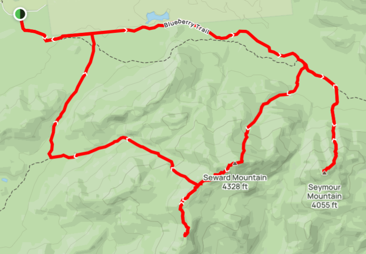
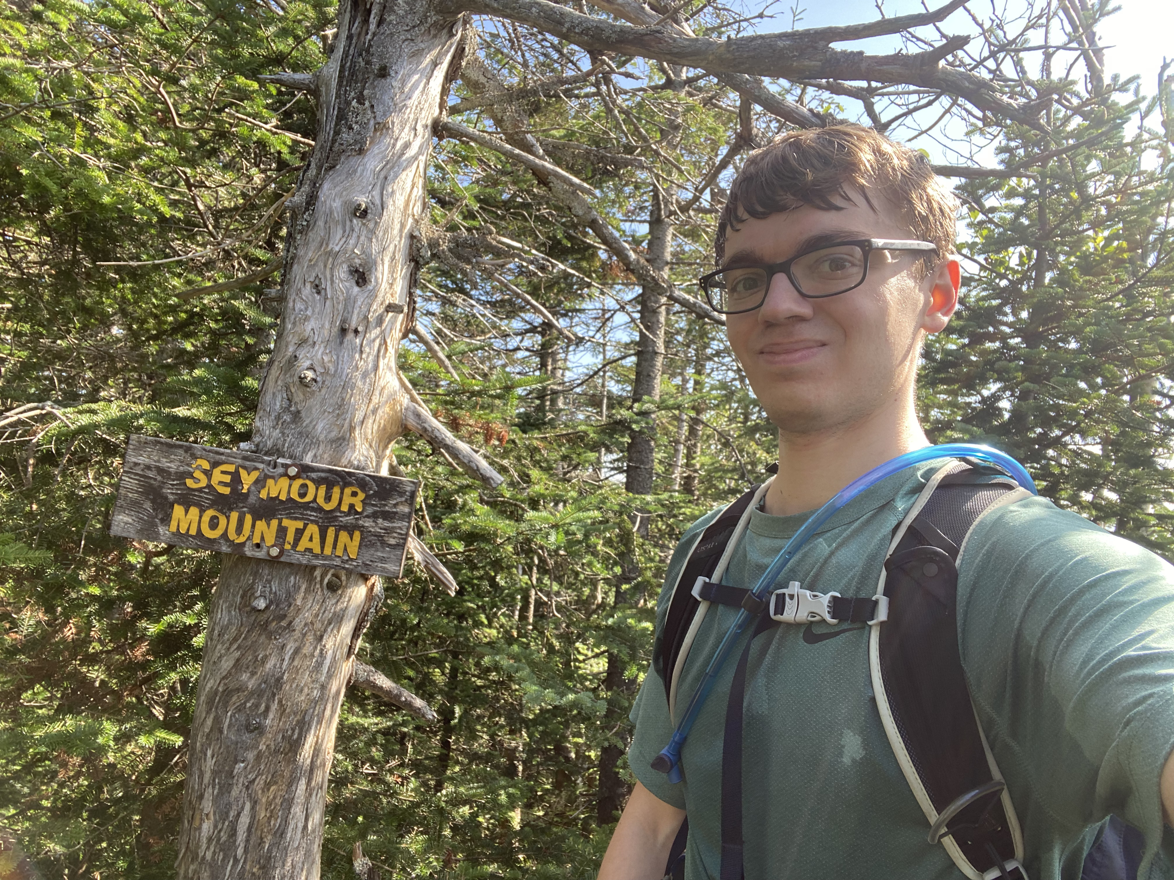
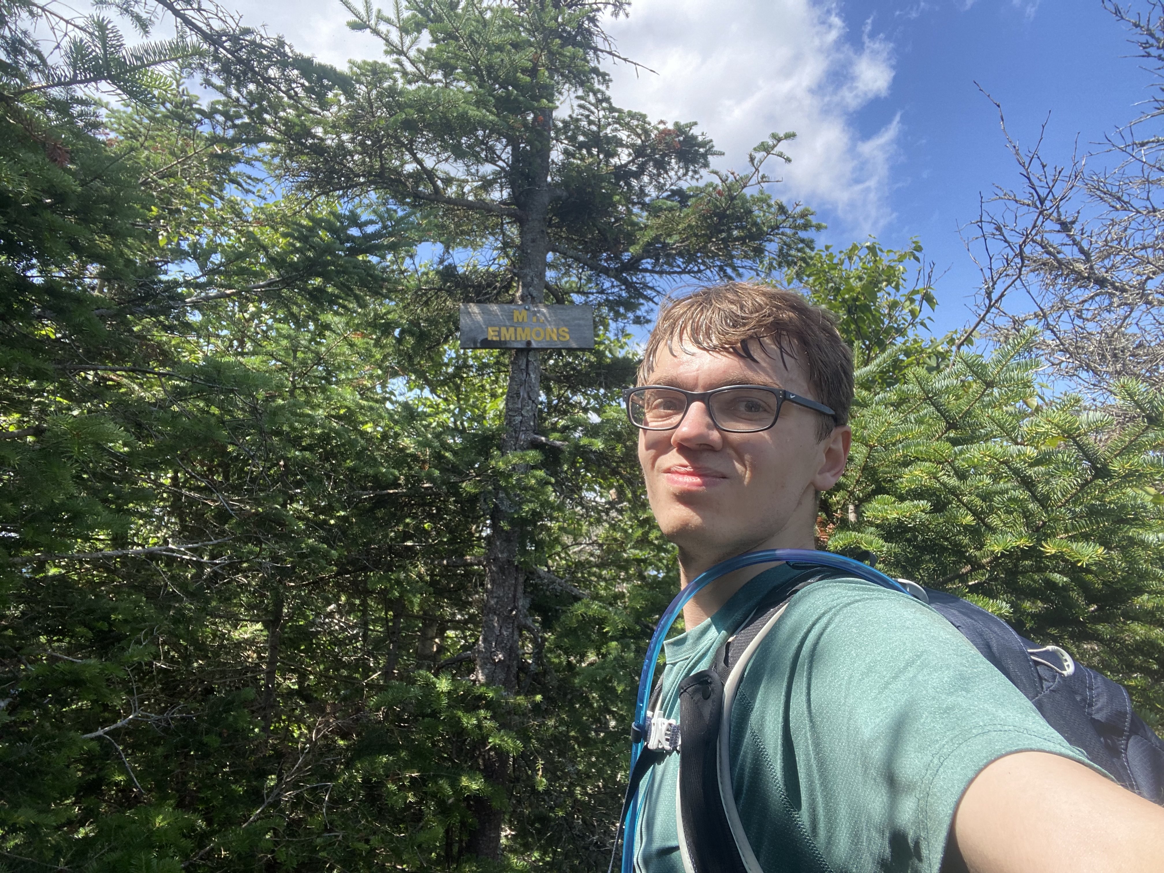
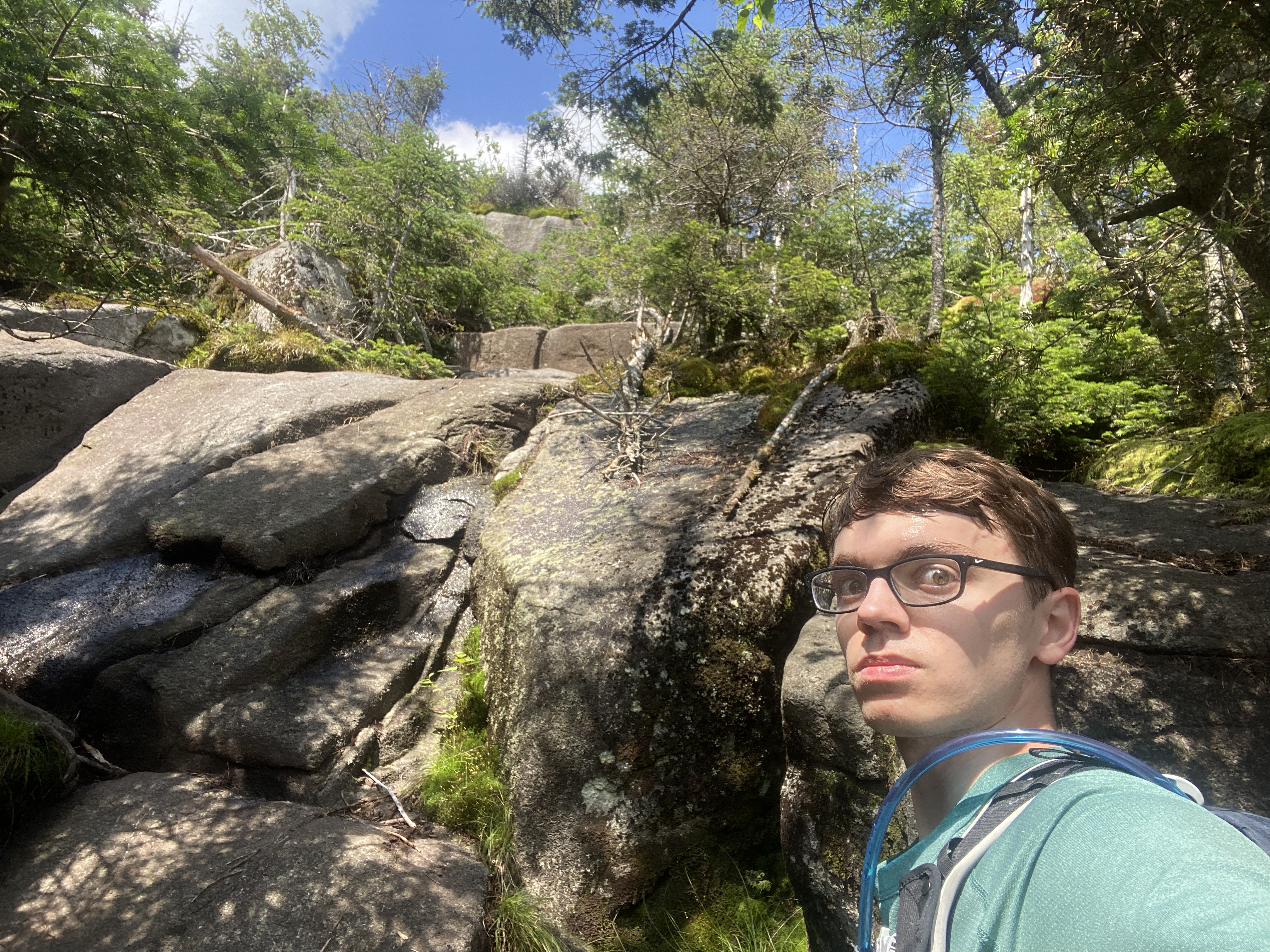
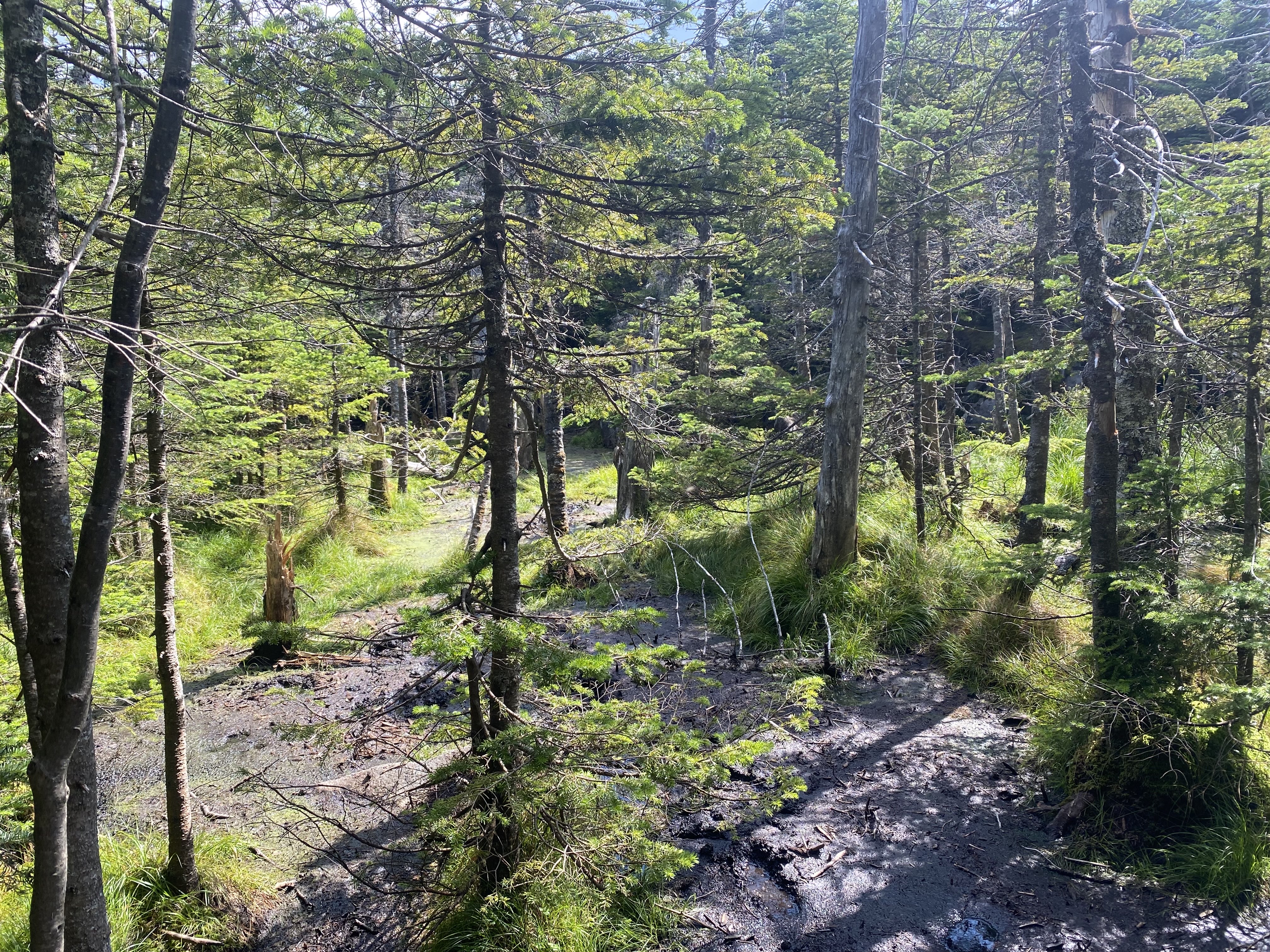
#36-39 - Seward Range
7/20/24
21.66 miles
6529 ft gain
The Seward Range is an isolated set of mountains on the western-most region of the High Peaks. These
mountains are commonly hiked
in two days, either by splitting them up or camping at Blueberry or Ward Brook Lean-To. However, they
can be done in a day. Needing the
early start and given the fact this trailhead is 3 hours away, we arrived the night before and camped at
the trailhead. I highly recommend
doing Seymour first so that you get most of the elevation done at the start of the day....
The first 4-5 miles are on the Blueberry Trail, which moves quickly and crosses many streams. After
this, you'll reach Blueberry Lean-To followed
by an old road that passes two cairns and the Ward Brook Lean-To. The first of these cairns leads up
Seward. We continued the 0.6 to the second cairn
for Seymour. This ascent is about 1.5 miles and begins by following a stream. The trail proceeds to
get steeper, until it turns to steep slabs in its
second half. Be careful and stick to the branches! As you round off to the summit, you'll find a
great lookout to the right. There will be a large boulder
and cliff, both offering great views of the Seward Range and towards the Sawtooths. From the summit,
you'll have a southbound view of the Santanonis. Being
the best summit of the four for views, we spent too much time on Seymour and had to make up time
later in the day. Heading down the steep upper half of
Seymour was slow, but as it leveled out our pace picked up. Once back to the cairn for Seward, we
split (a friend and I continued up Seward and another friend
head back to the car). Ascending Seward was the crux of the day, since you fully descent Seymour. As
such, you start your hike with two 2000ft+ pushes, totaling
nearly 5000ft of elevation gain by Seward's summit. On the plus side, Seward is longer and more
gradual than Seymour, but its trail is where the Seward Range
mud starts. It's trail is also harder to follow and more rugged and full of downed branches and
trees. Once again, the upper half of the trail turns steep, but
not as much as Seymour. At the top, you'll reach a headwall. Your primary views come from here. As
you wrap around the wall, you may see some old paths.
Seward used to have a different route up in the 70s and there is also a plane crash near the summit.
Despite having the GPS coordinate for it, we did not search
due to time. Seward to Emmons is much easier in terms of elevation gain and contains lots of fun
scrambles and slabs. Just before the summit push of Donaldson
is the Calkin's Brook trail down. Donaldson has no summit sign but has a great vista to the east.
Donaldson's ridge to Emmons is very muddy. I went right through
the main trail, consistently going up to my shins and knees in mud. After this, descending down and
up to Emmons is drier and scrambly as usual. The only views from
Emmons are a panoramic spot just shy of its summit, along with many nice glimpses during the hike to
it. Once you've gone back over Donaldson, Calkin's Brook down
is about 6 miles but is very chill and fast terrain. However, 6 miles is still 6 miles it will be a
while until you're back to your car. This was a great and challenging day. It took us about 13
hours.
Read More
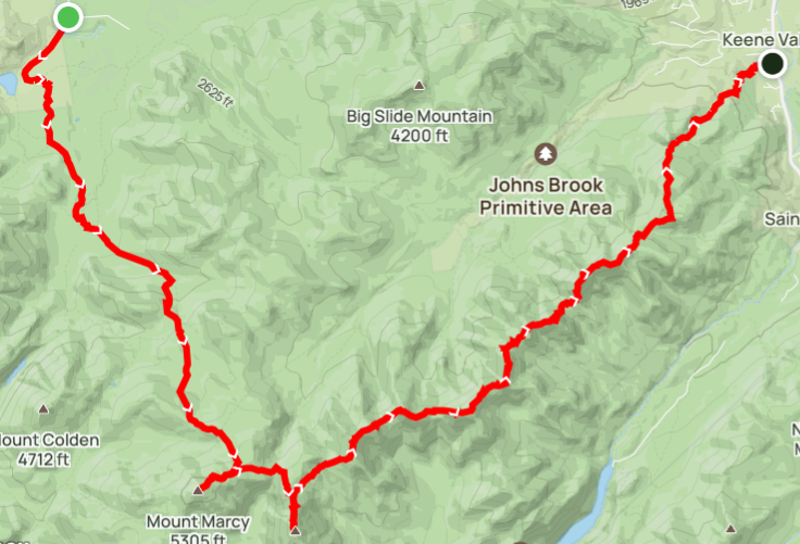
#40-42 - Great Range Traverse
7/27/24
23.18 miles
8934 ft gain
This was a bucket-list hike for me and I'm beyond proud to have done it! The Great Range Traverse is one
of the
hardest day hikes in the Northeast, filled with difficult terrain. Some of the notable features on this
hike are the
Saddleback Cliffs, the Gothics Cables, and multiple tough scrambles on all the peaks. I completed this
hike in 14 hours....
We began with a late start and actually missed the Loj parking. This added 1.2 miles to our day as
we hiked from South Meadows. Marcy flew
by in just under 3 hours. After this, the terrain turns to scrambles. Marcy to the col with Haystack
is a rocky stream which requires careful
maneuvering. Heading up Haystack starts to get steep. Traversing out to Haystack involves going over
Little Haystack twice. This section of
exposed scrambling and rocks was so much fun and one of my favorite parts of the day. Haystack in
general is an amazing hike. We filled up water at Haystack Brook, located near the Sno-Bird
campsite between Haystack and Basin. Basin was the crux of the day. Continuing the challenging
scrambles, you are now fatigued, and are ascending 1000ft. After this,
you carefully descend several technical sections. One of these was a crack. The other was a butt
slide onto a small rock ledge. You have to slide, land with
a foot on the ledge, and jump down an extra 2-3 feet to the dirt. Saddleback is a break from the big
ascents and provides you with the
Saddleback Ciffs, which were so much fun. Personally, I felt they were a lot easier than expected,
but I can see how a fear of exposure could get
to people. Heading up Gothics was another one of my favorite parts of the day. This trail was very
slabby and the cables were such a cool feature.
If you love climbing slabs, you'll love this route to Gothics. After Gothics, my body started to
cramp, but my mind was strong because I had done
the Lower Great Range before. Armstrong and Upper Wolfjaw are easy bumps which don't tire you out
much. Desceding Armstrong however is a jungle gym
as always, including the massive ladder section. The final crux of the day was the push up to Lower
Wolfjaw. This was a slow and steady grind and we were
thrilled upon reaching its summit. After this, there's about 5 miles to the car of easy terrain,
except one very sketchy section just beyond the summit
of Lower Wolfjaw. Sunset occured near the junction with Rooster Comb and we put on our headlamps
with about a mile to the car. In the end, this hike
truly showed me what I'm capable of and was one of the most rewarding experiences of my life.
Read More
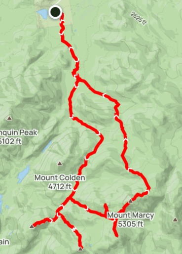
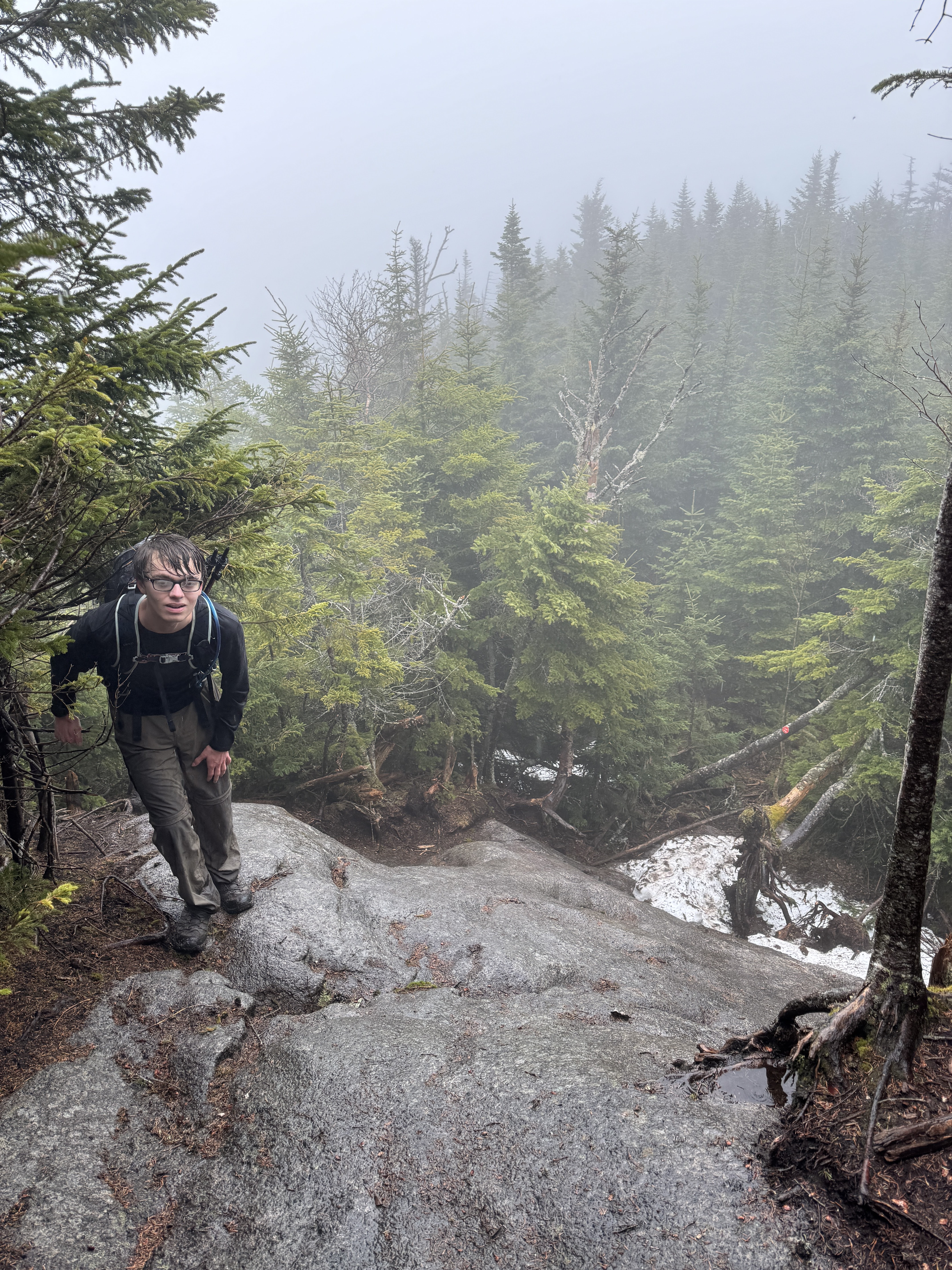
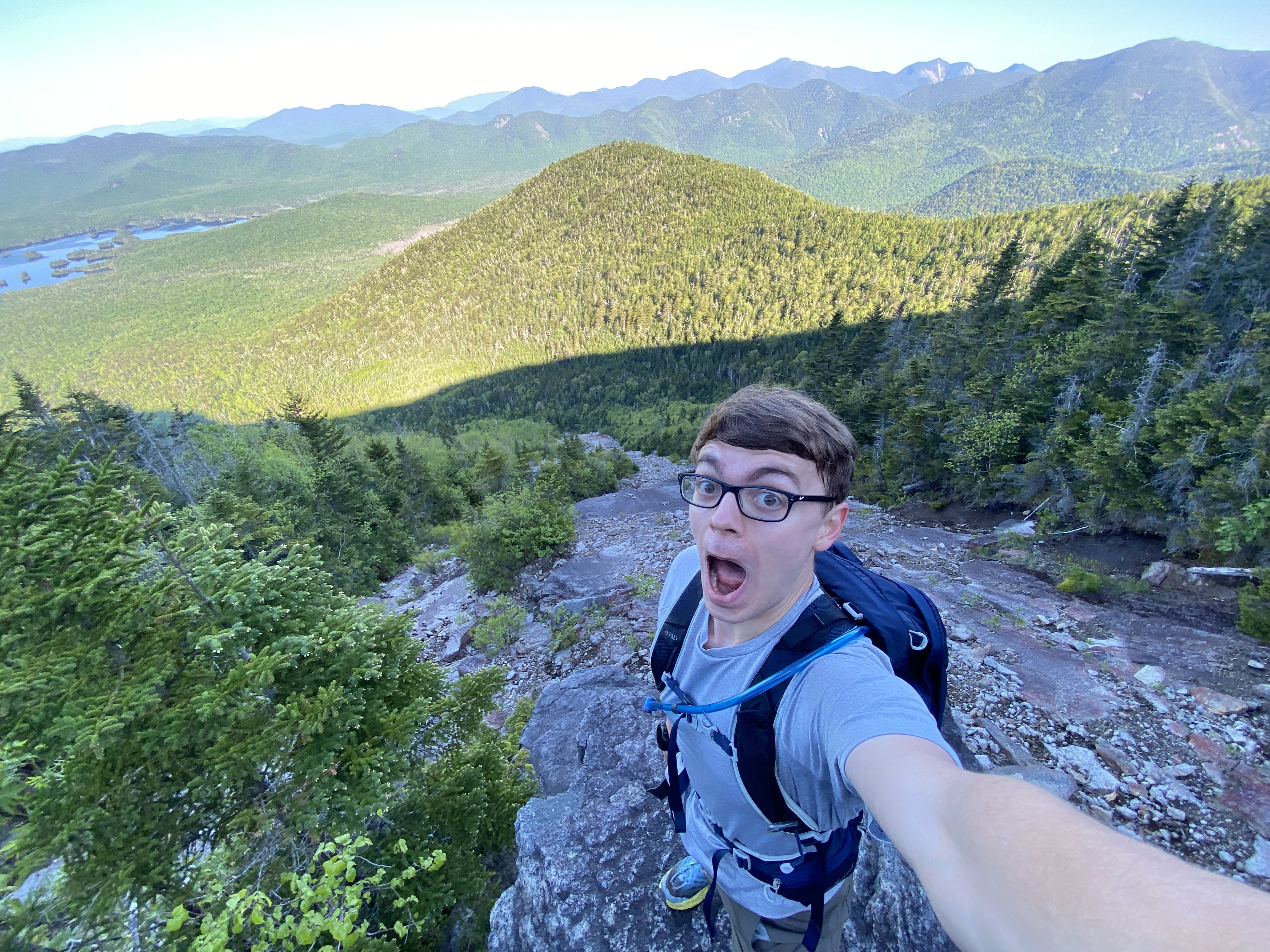
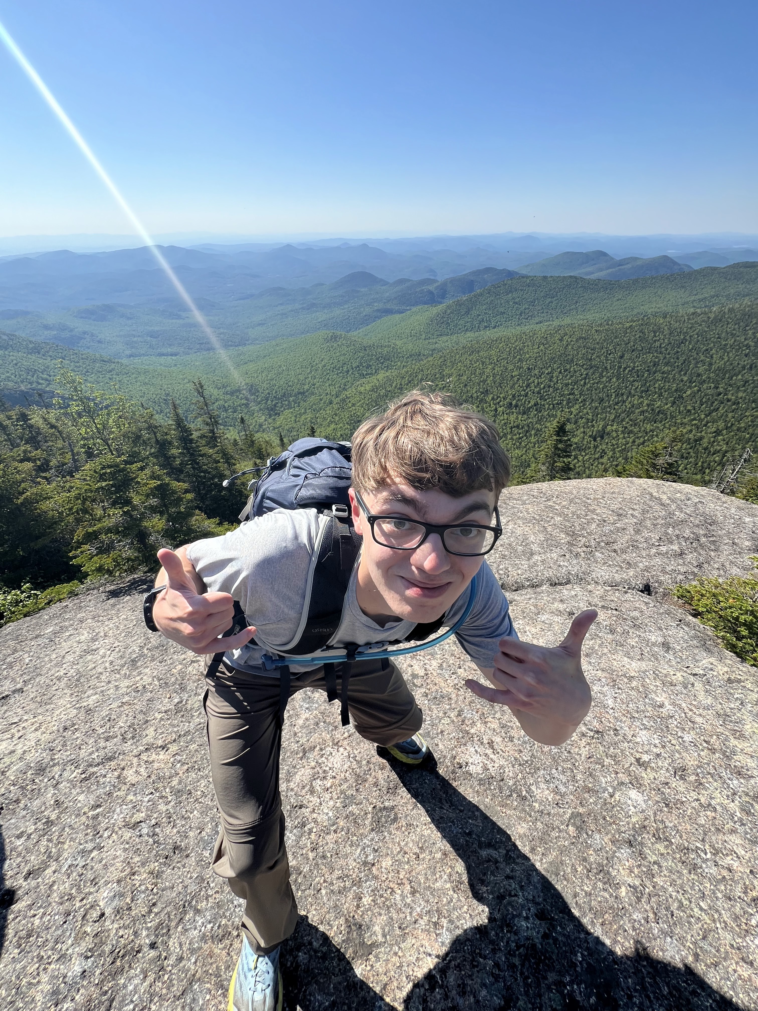
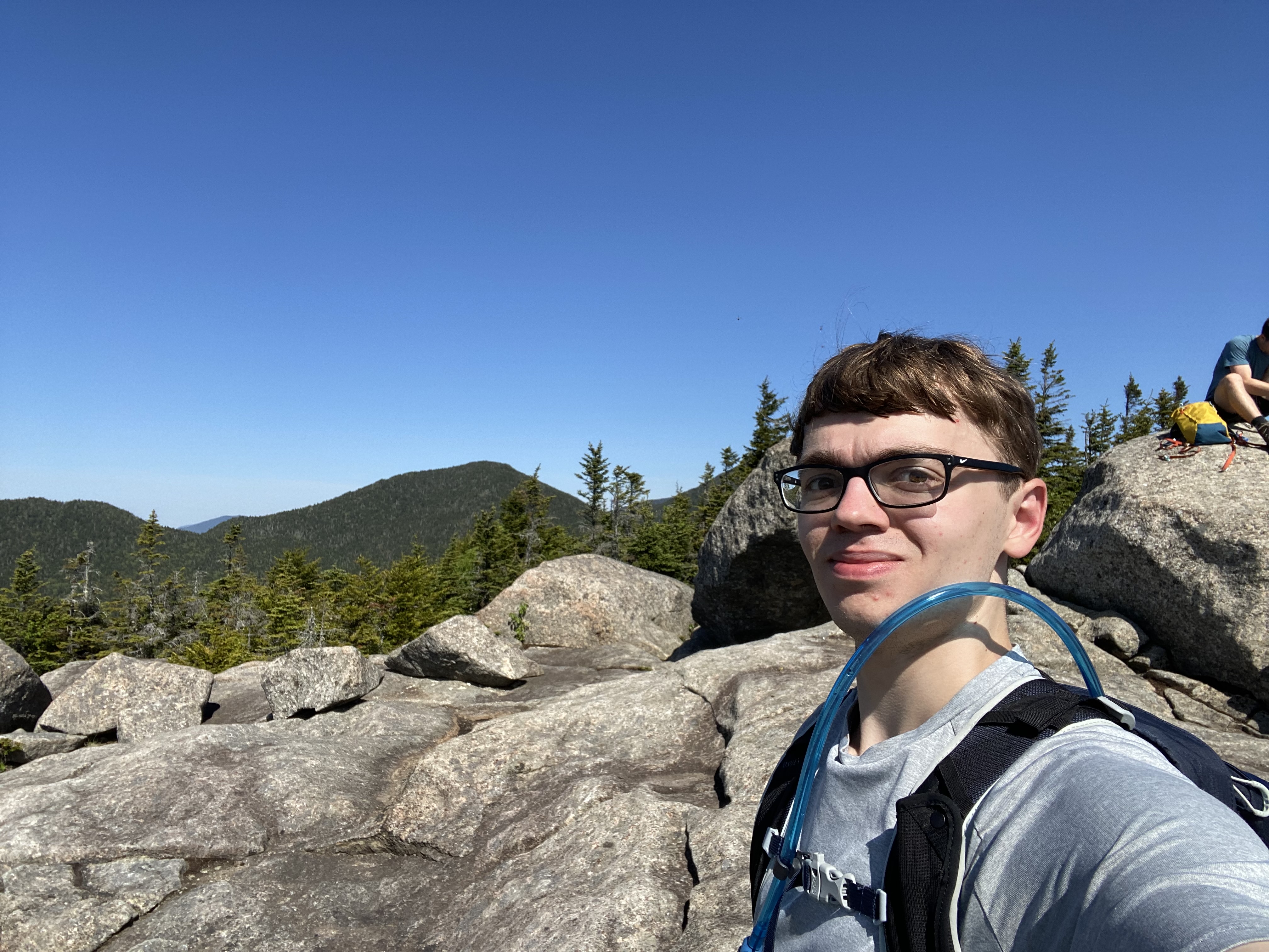
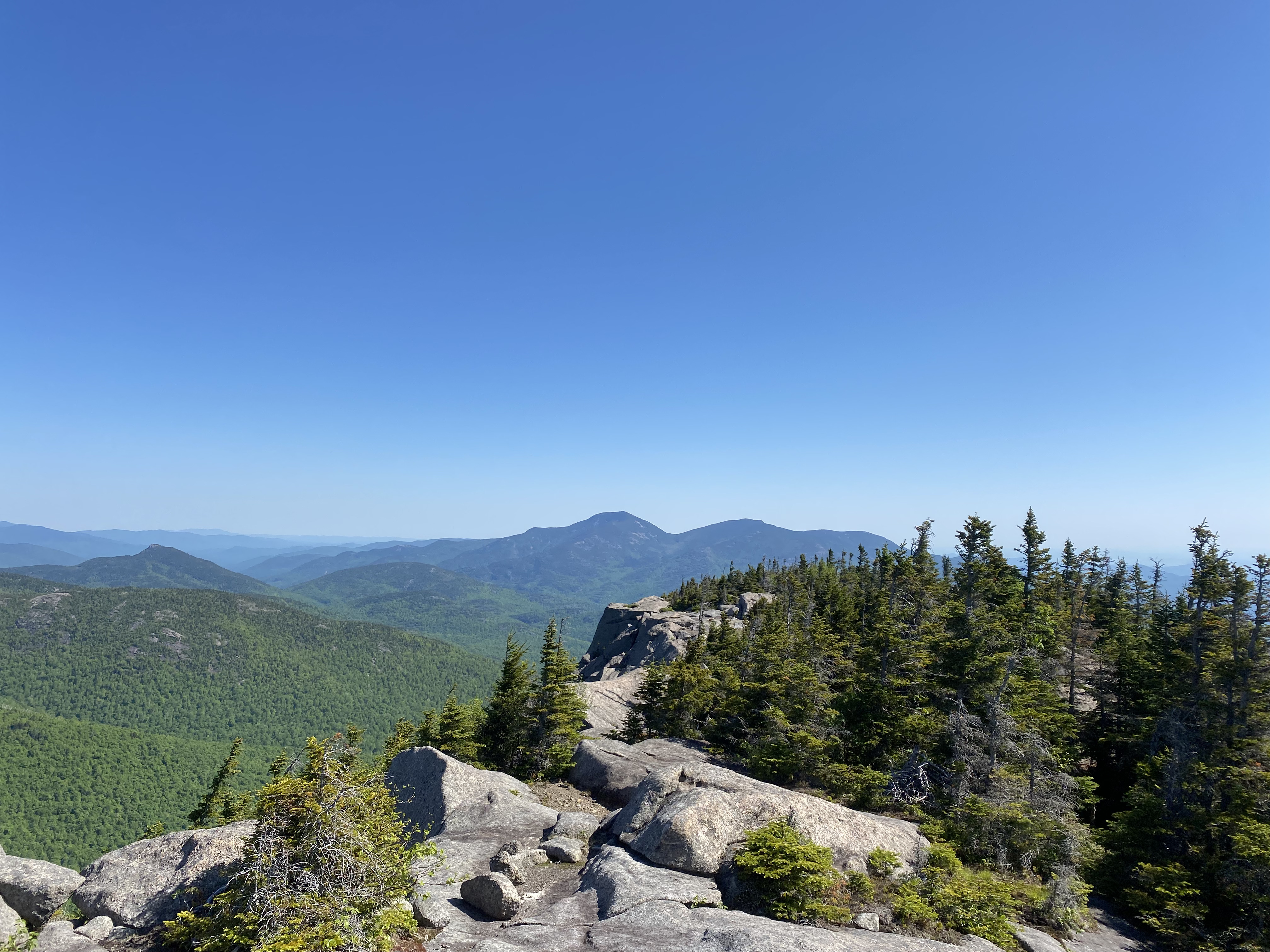
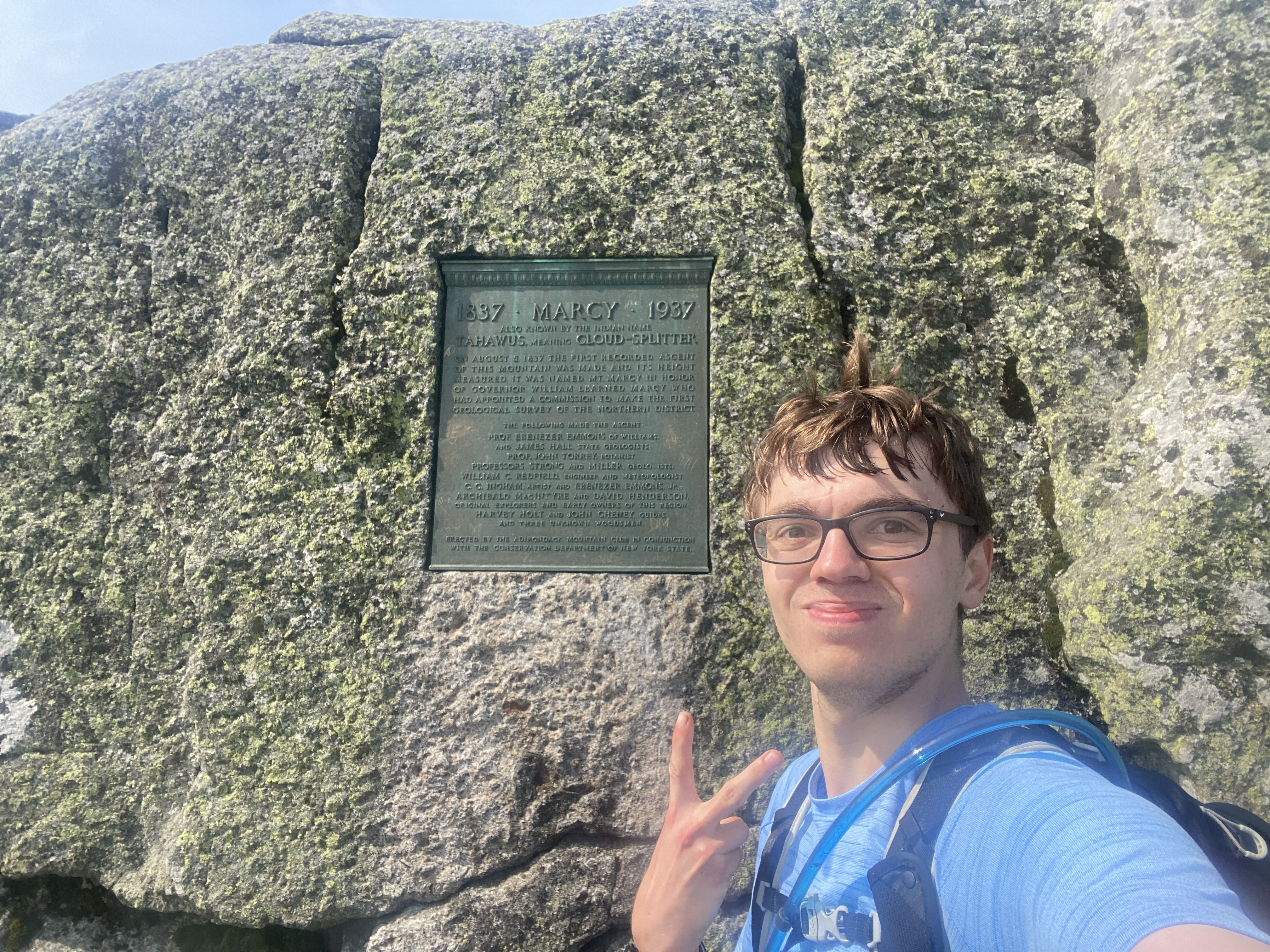
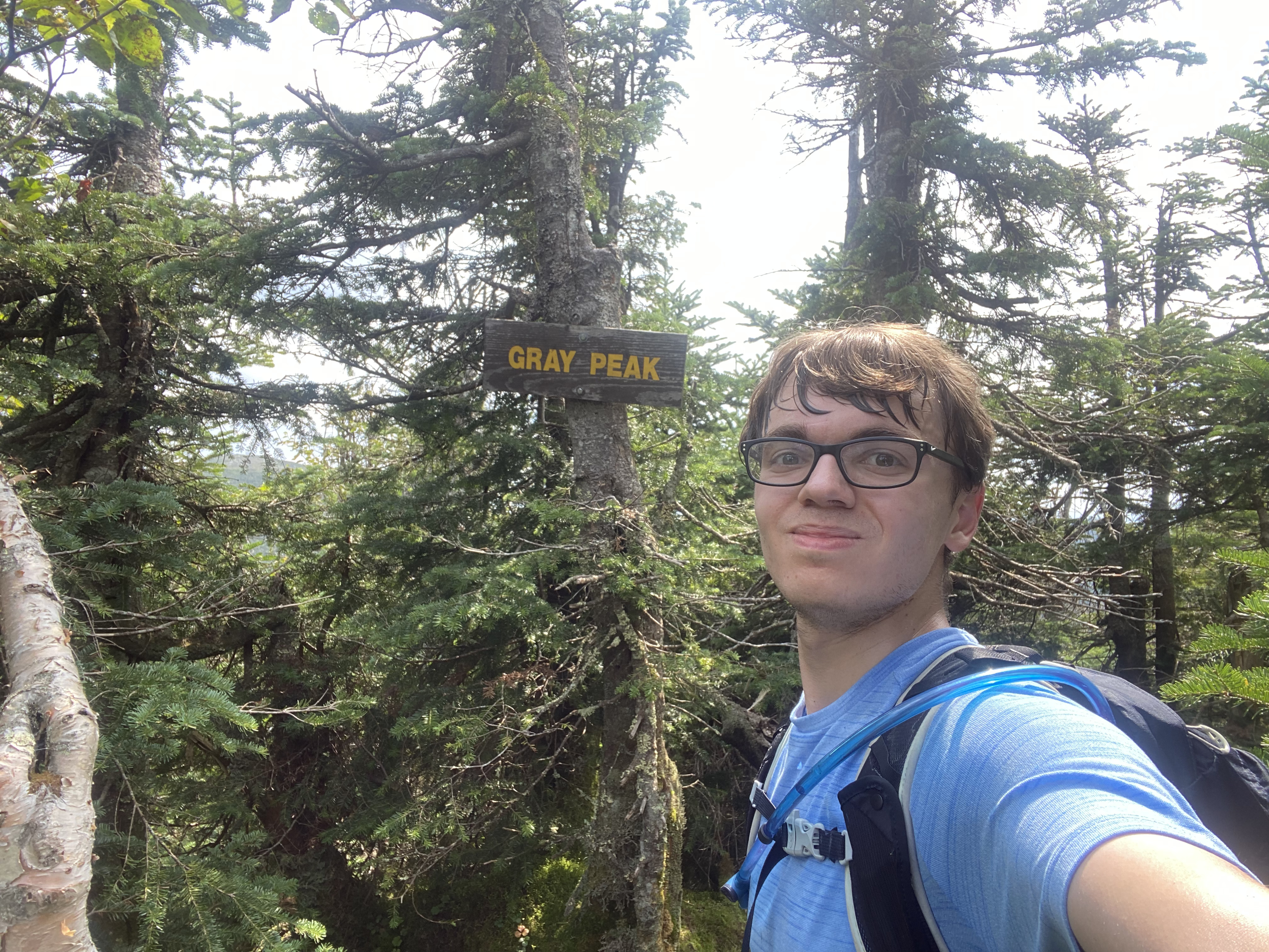
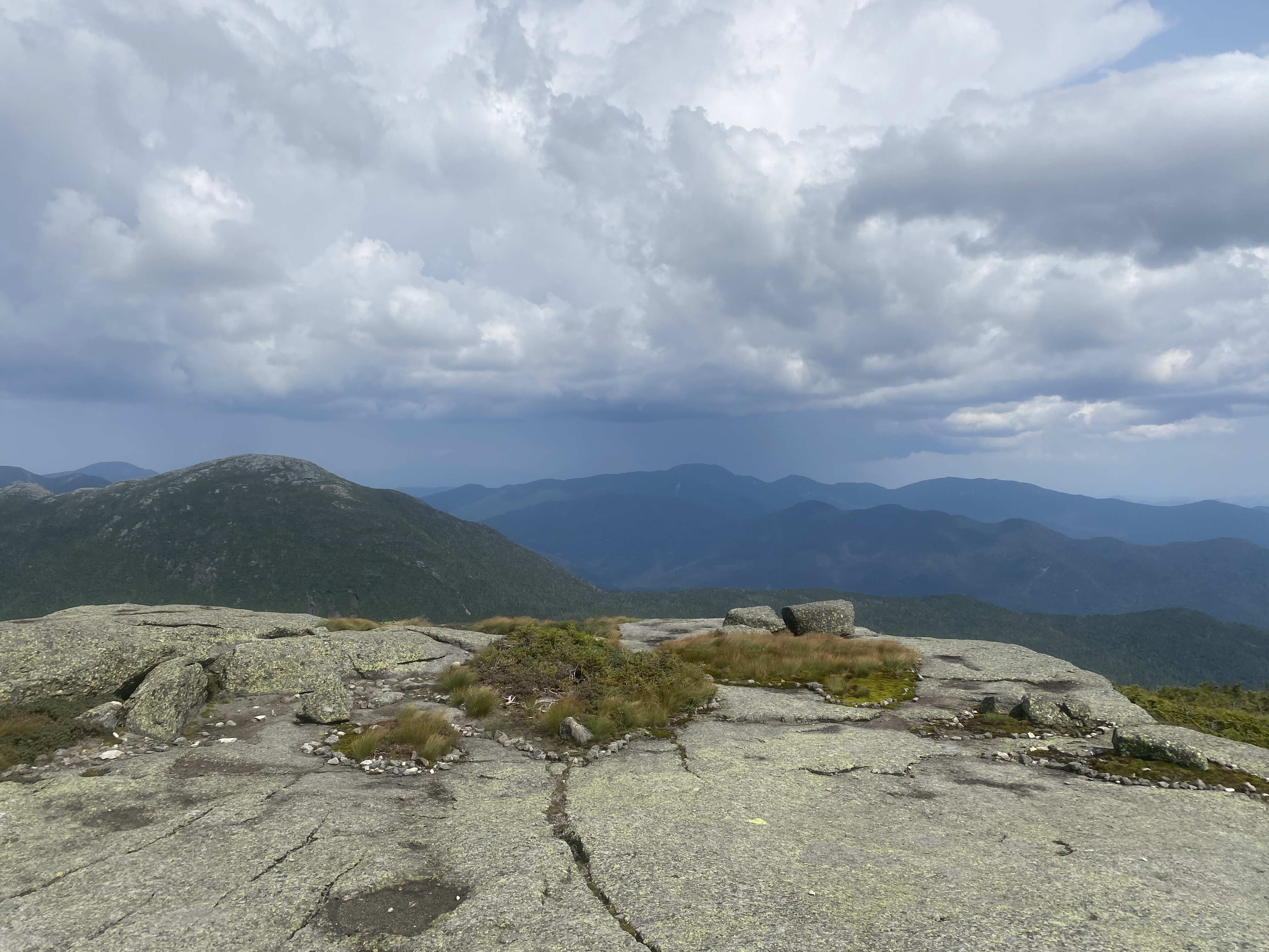
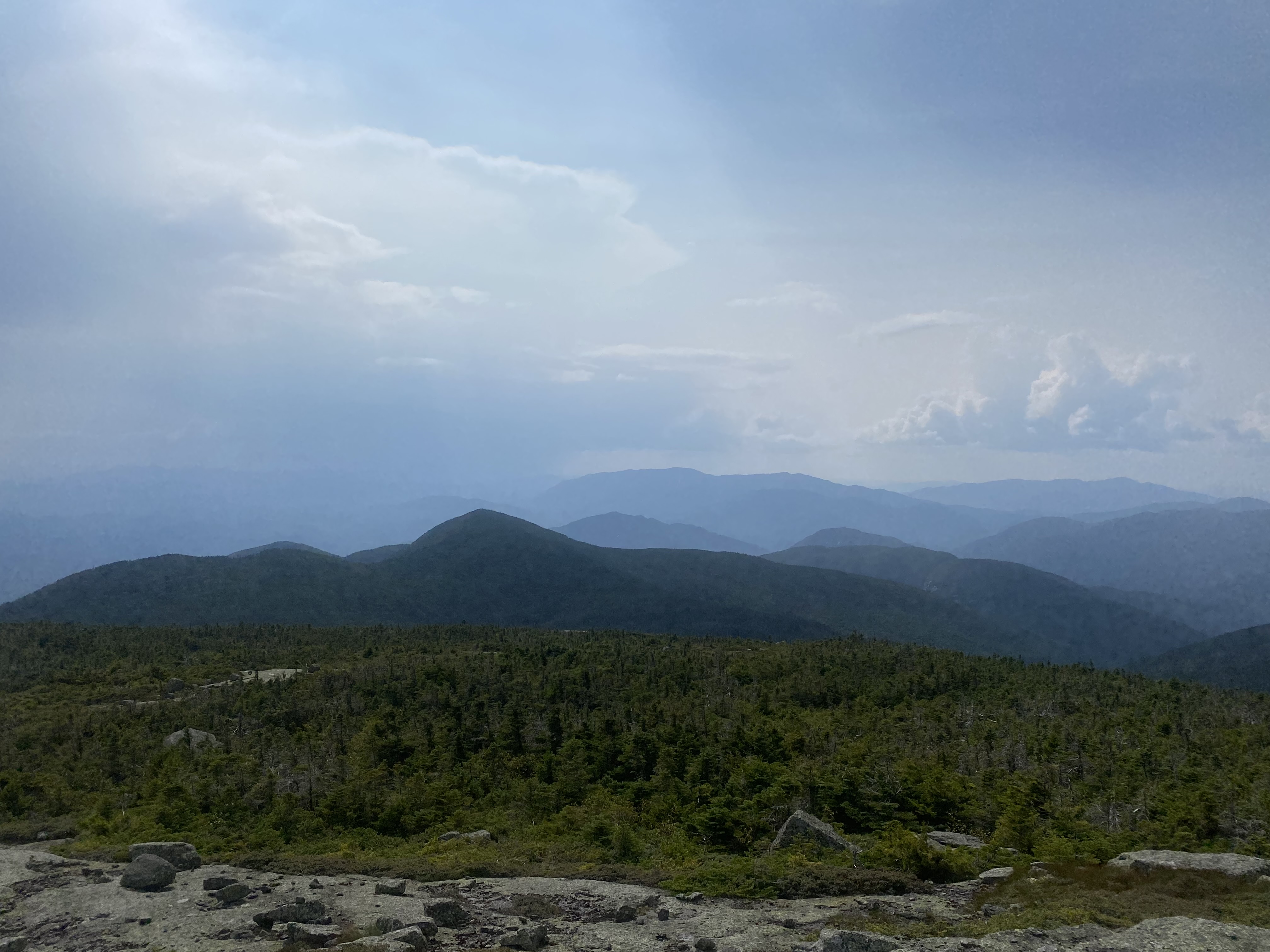
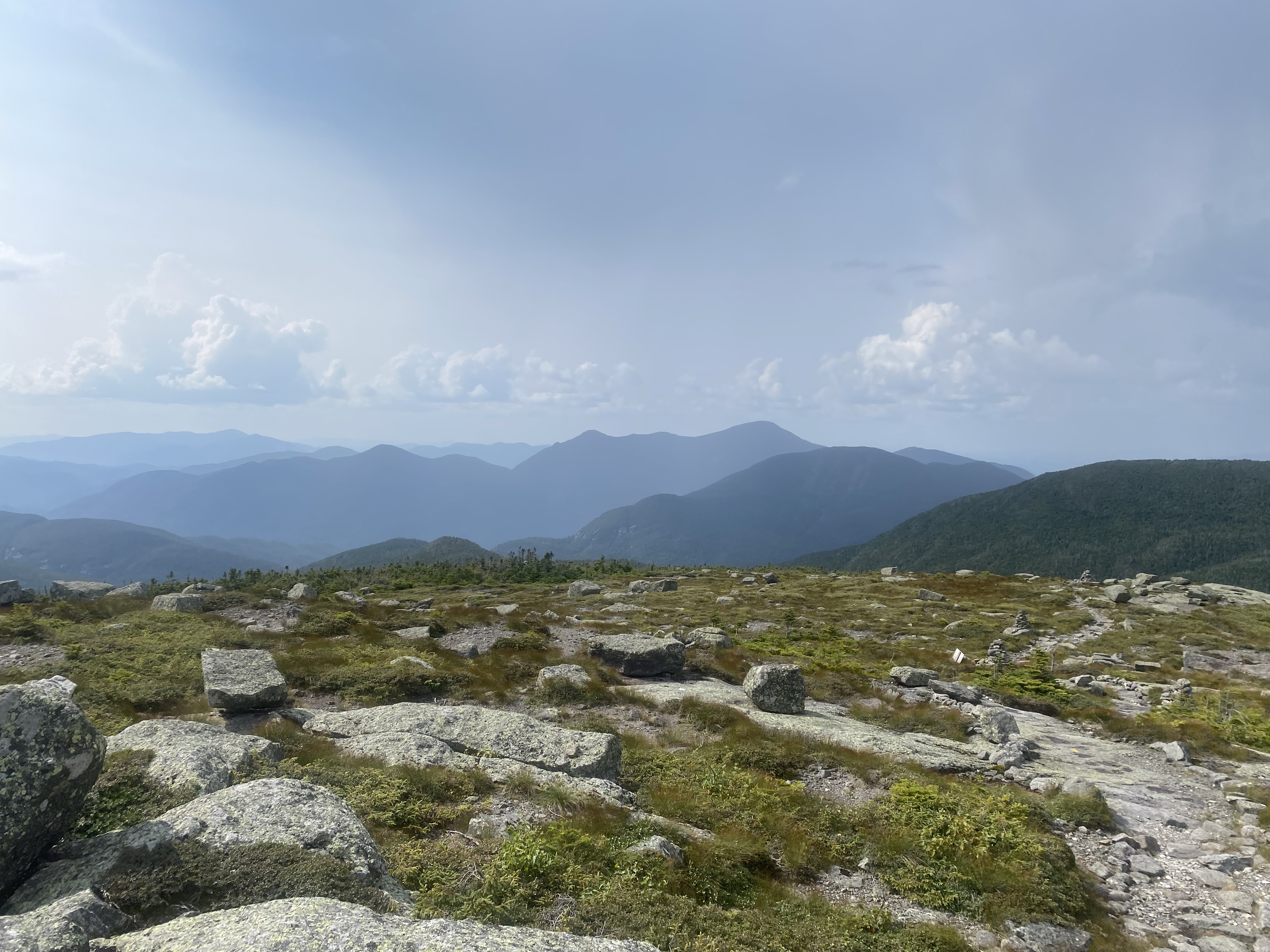
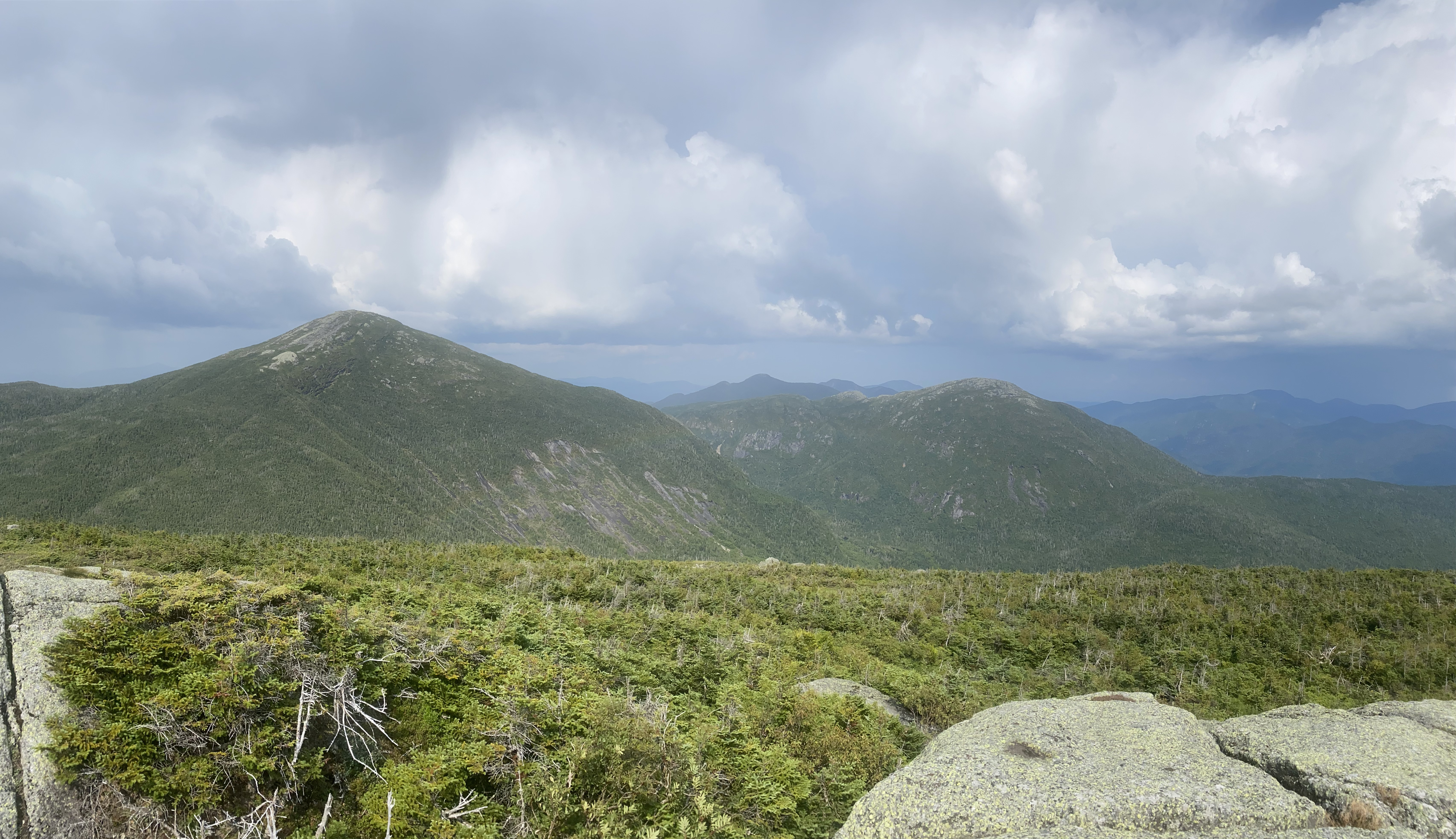
#43-46 - Cliff, Redfield, Skylight, Gray, Marcy
8/14/24
23.94 miles
7789 ft gain
This was my 46er finish on Skylight! I finished with a friend on a big loop covering Cliff, Redfield, Skylight, Gray, and Marcy.
I'm glad I chose this hike as my finish as it was epic! We got views on all the summits, and up through Gray the weather was perfect.
We ran into a couple thunderstorm bands, specifically at Lake Tear of the Clouds and the Schofield Cobbles. In both of these storms, we
hunkered down in a col for about 20-30 minutes and were able to continue afterwards with good skies. I hiked from the Loj, heading through
the Lake Arnold Trail, hitting Cliff and Redfield, continuing to Skylight and Gray, and heading over Marcy to the Van Hoevenberg....
The Floating Logs on the Lake Arnold Trail were easily worked around, but the trail in general was flooded. I didn't find it that bad. There was
also a new trail just after Marcy Dam on the way towards Lake Colden, avoiding a down bridge. I ascended Redfield first as it was taller of Cliff and
Redfield. This trail is deceptively long, but pretty as it mostly follows a stream to the top. Being an unmarked trail, it was sometimes hard to tell
whether the trail was the stream or not. Redfield's summit offers nice views of Allen. Heading down Redfield is also slow because of the jagged rocks.
Cliff starts with a bog where I instantly sank knee deep, followed by some sick scrambles. While Cliff's summit has no views, these scrambles do! As we
pushed along up to Lake Tear of the Clouds my fatigue began to settle in, and some mild storms began to form in the distance. You actually gain a lot of
elevation as you head to the lake, and Gray is a short out-and-back. Gray is mostly moderate slabs, and had one cool scramble which we opted to ascend but
not descend (as the actual trail went around). Gray was a fun summit and once again had great views! On our way down Gray, the first thunderstorm hit us,
as we heard a lightning bolt strike near Marcy. We quickly descended and stayed near Lake Tear of the Clouds until it had passed over. The storm had mild
thunder, moderate rain, and small hail. Heading up to Four Corners, we surveyed the skies and found it clear enough to ascend Skylight, which was a quick
ascent (and the least technical of the day). Skylight was clear and an amazing summit to finish on. It was also very windy and we could see the several
isolated storms around us. Continuing up Marcy, all seemed well. This ascent is much more epic than the Van Hoevenberg, and much less populated. As we crested
the Schofield Cobbles, a tiny false summit, a loud clap of thunder struck just over the summit. We huddled down in a tiny col with trees for this one to pass.
This storm had much stronger rain, dousing the slabs on Marcy, which became slick. We checked radar and, after it had passed us for 10 minutes, we rushed over
the summit. We got some amazing views on the other side of the peak as the clouds cleared. The Van Hoevenberg trail down was quick and smooth. We stopped at
Indian Falls to see the golden sun as it was close to setting. We finished at 7:45 PM with an elapsed time of 13 hours and 22 minutes, just before sunset.
Read More
×
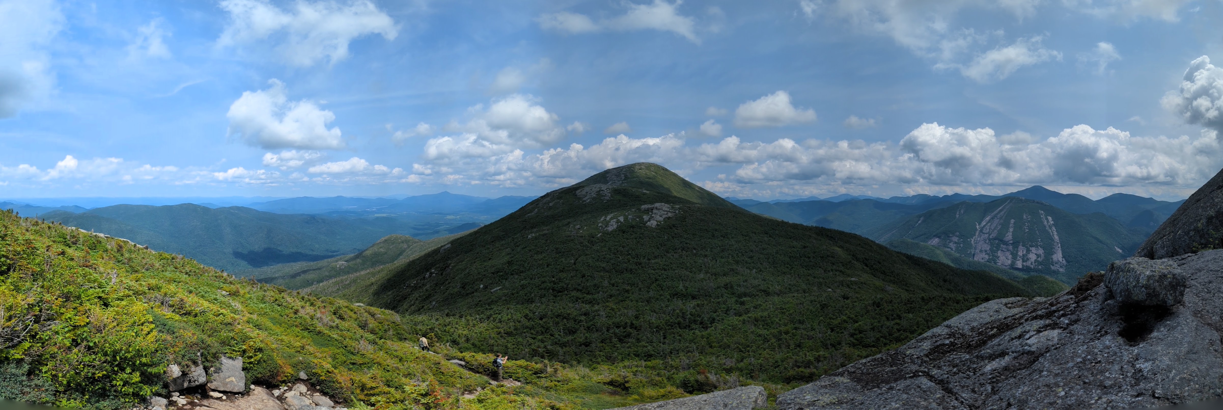
1 / 8
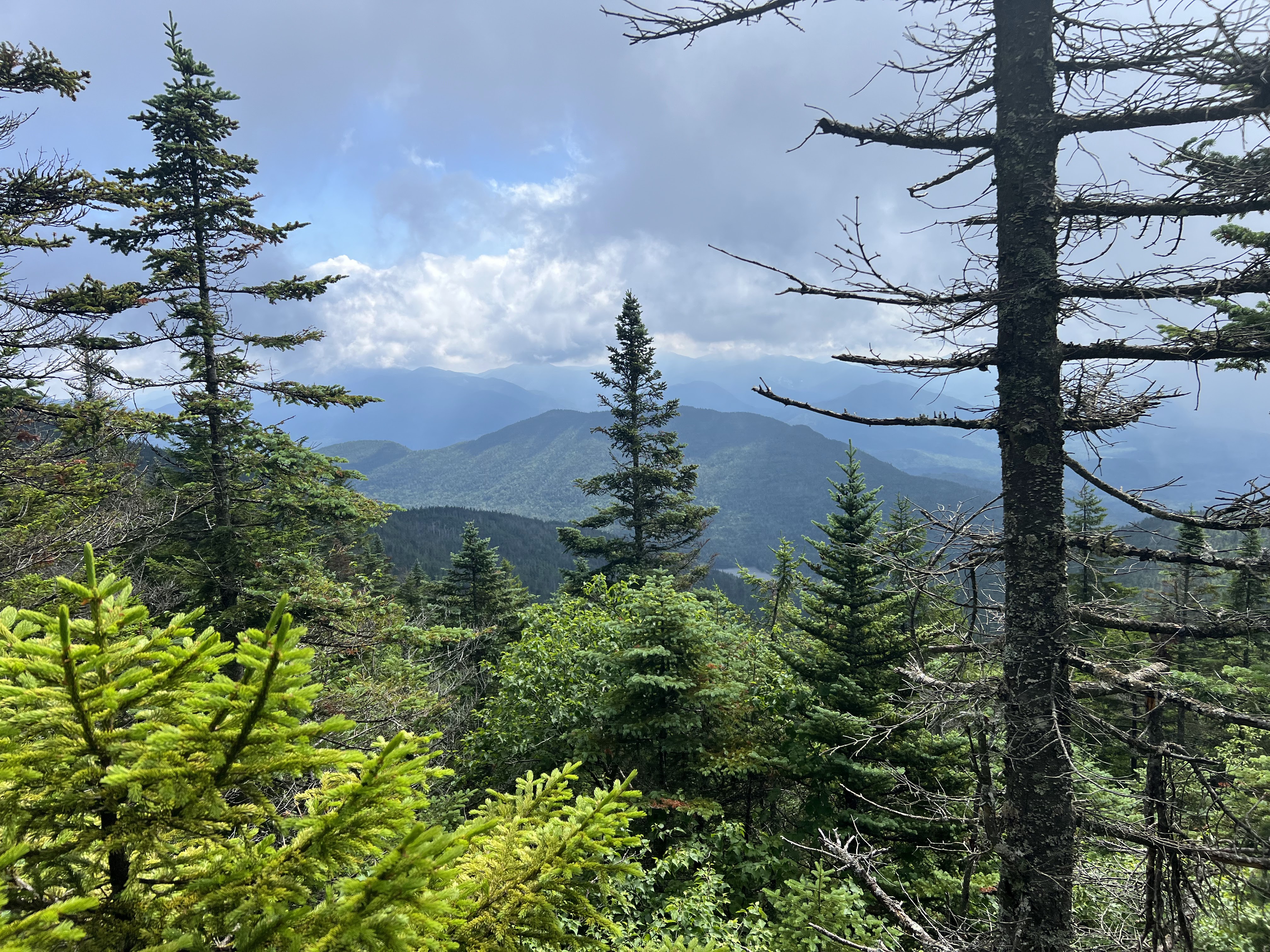
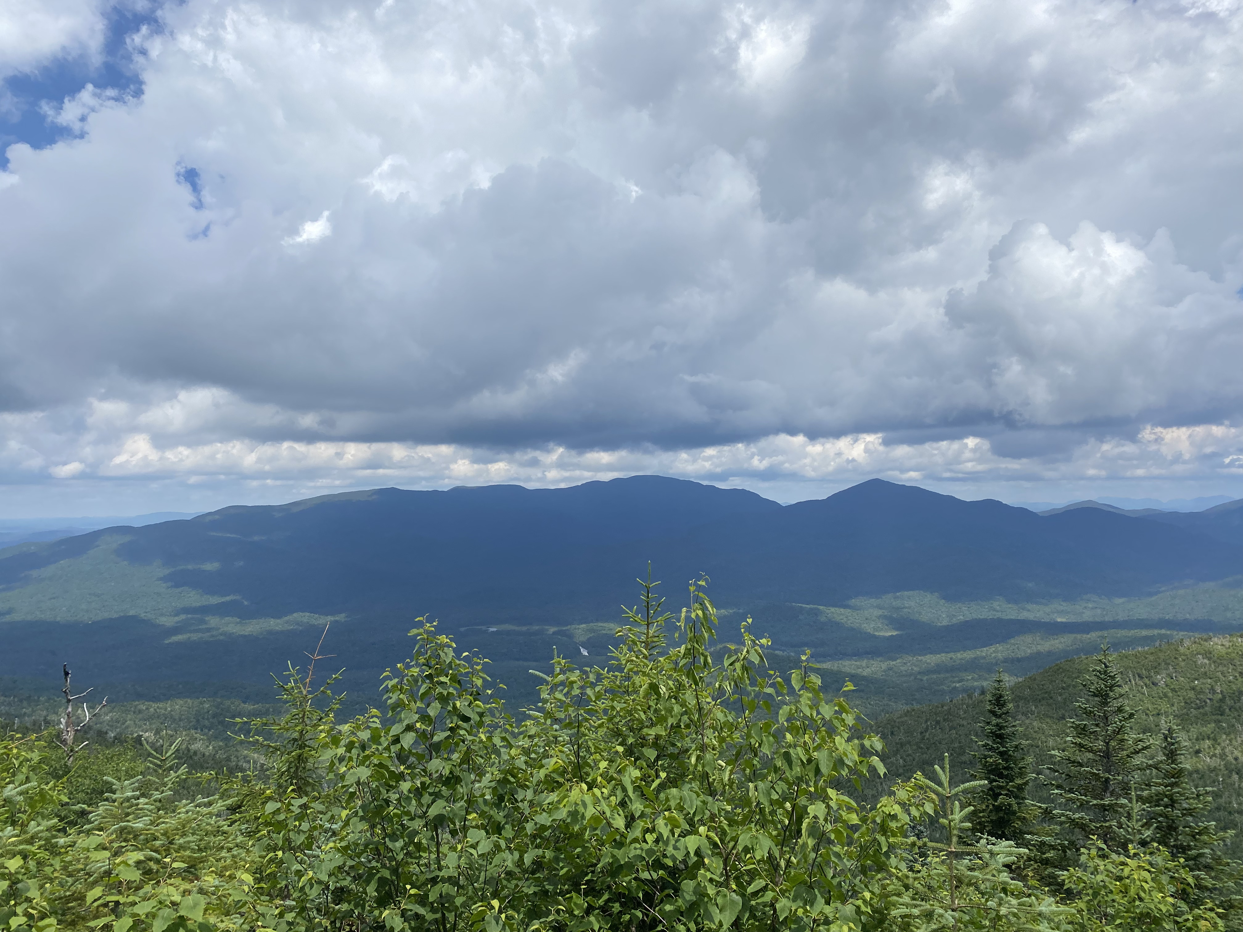
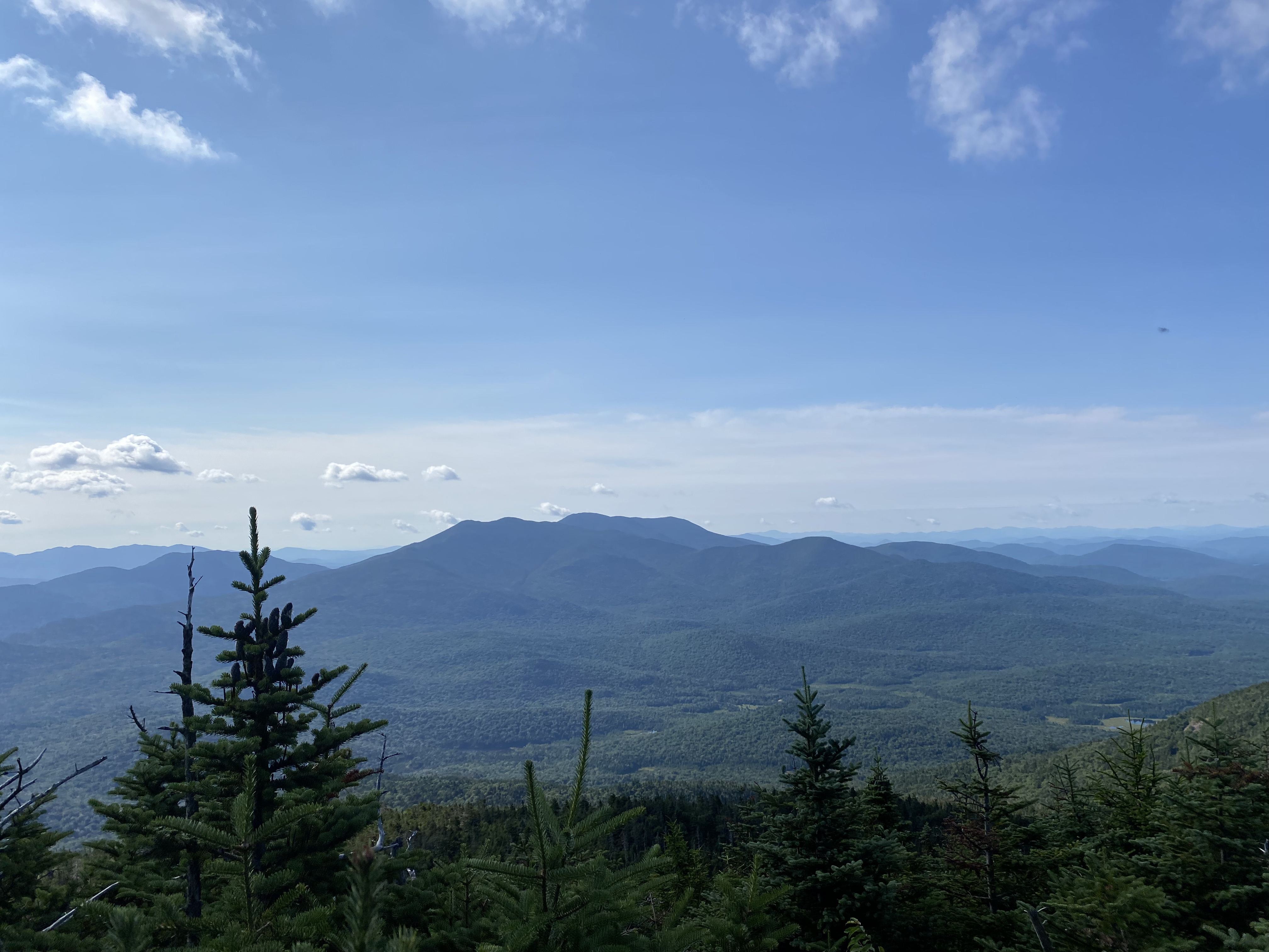
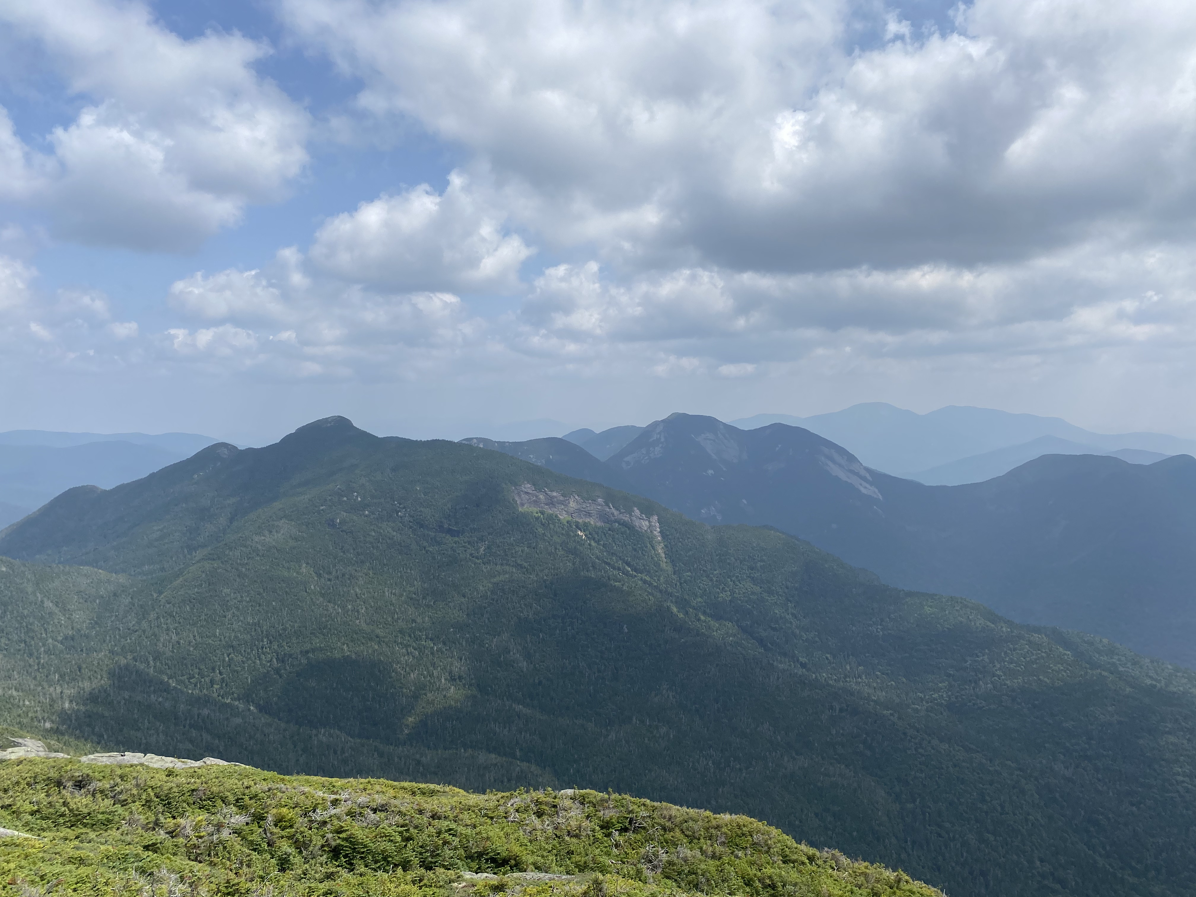
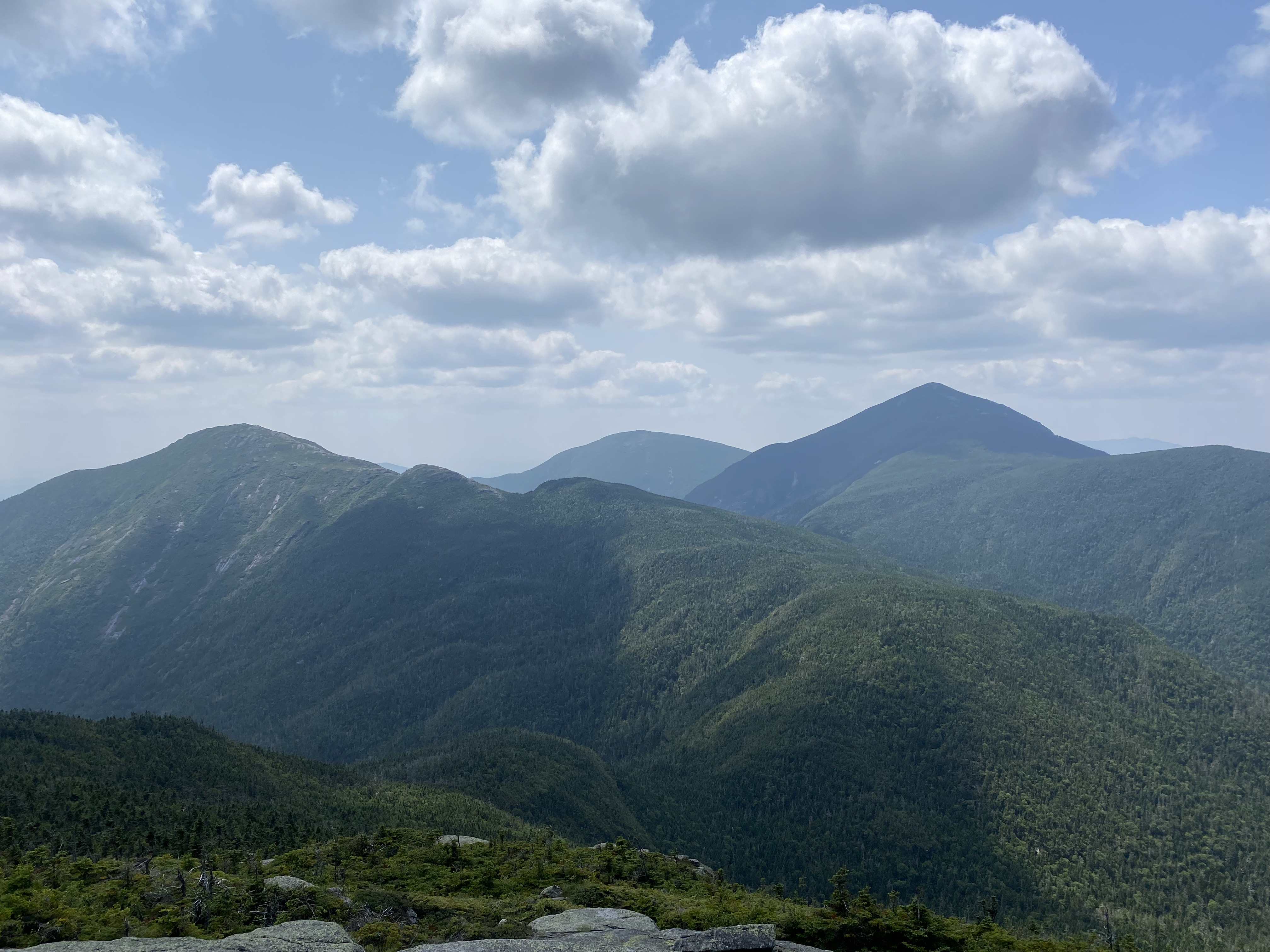
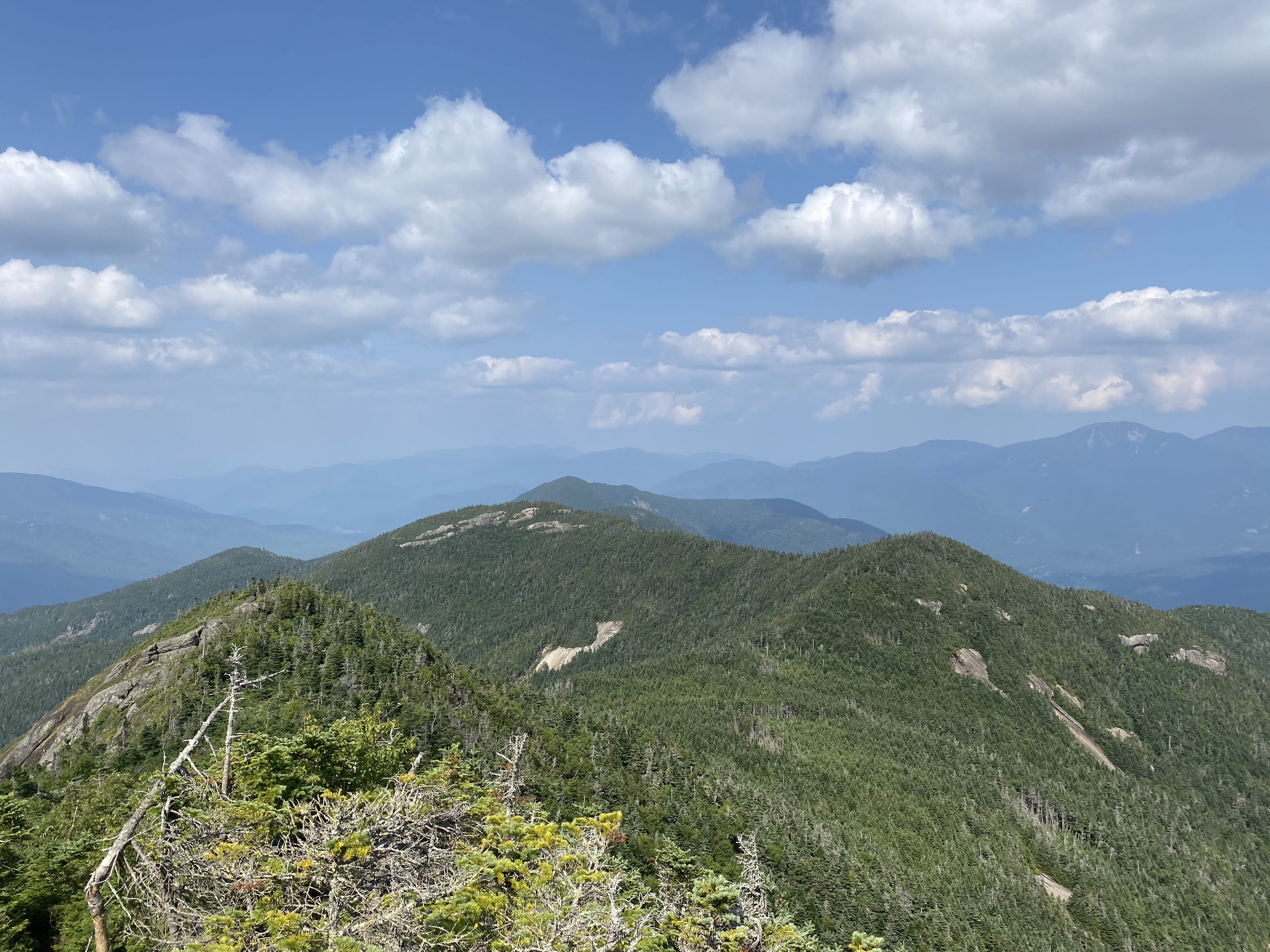
Views of the Great Range taken along the Brothers.
2 / 8
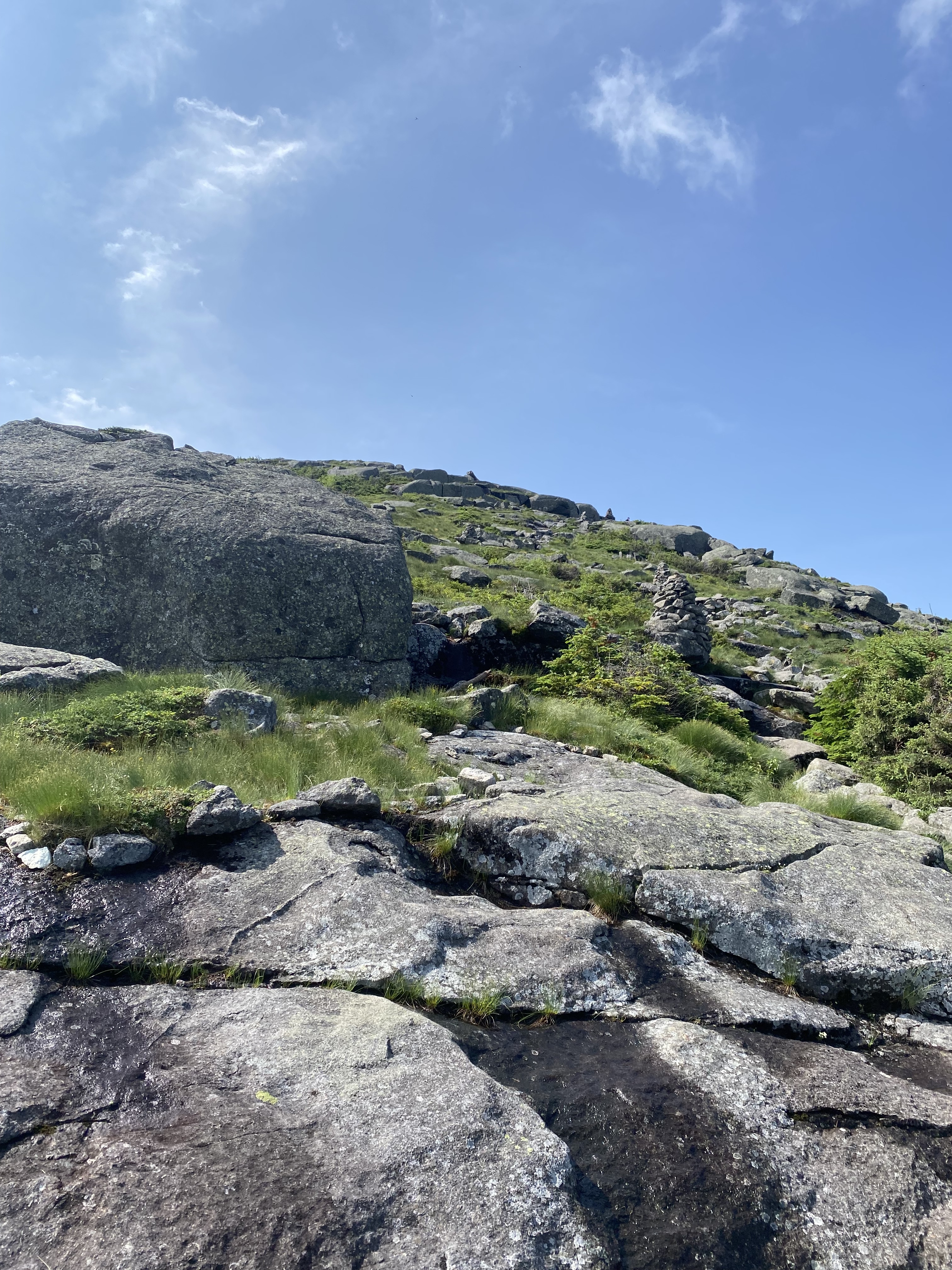
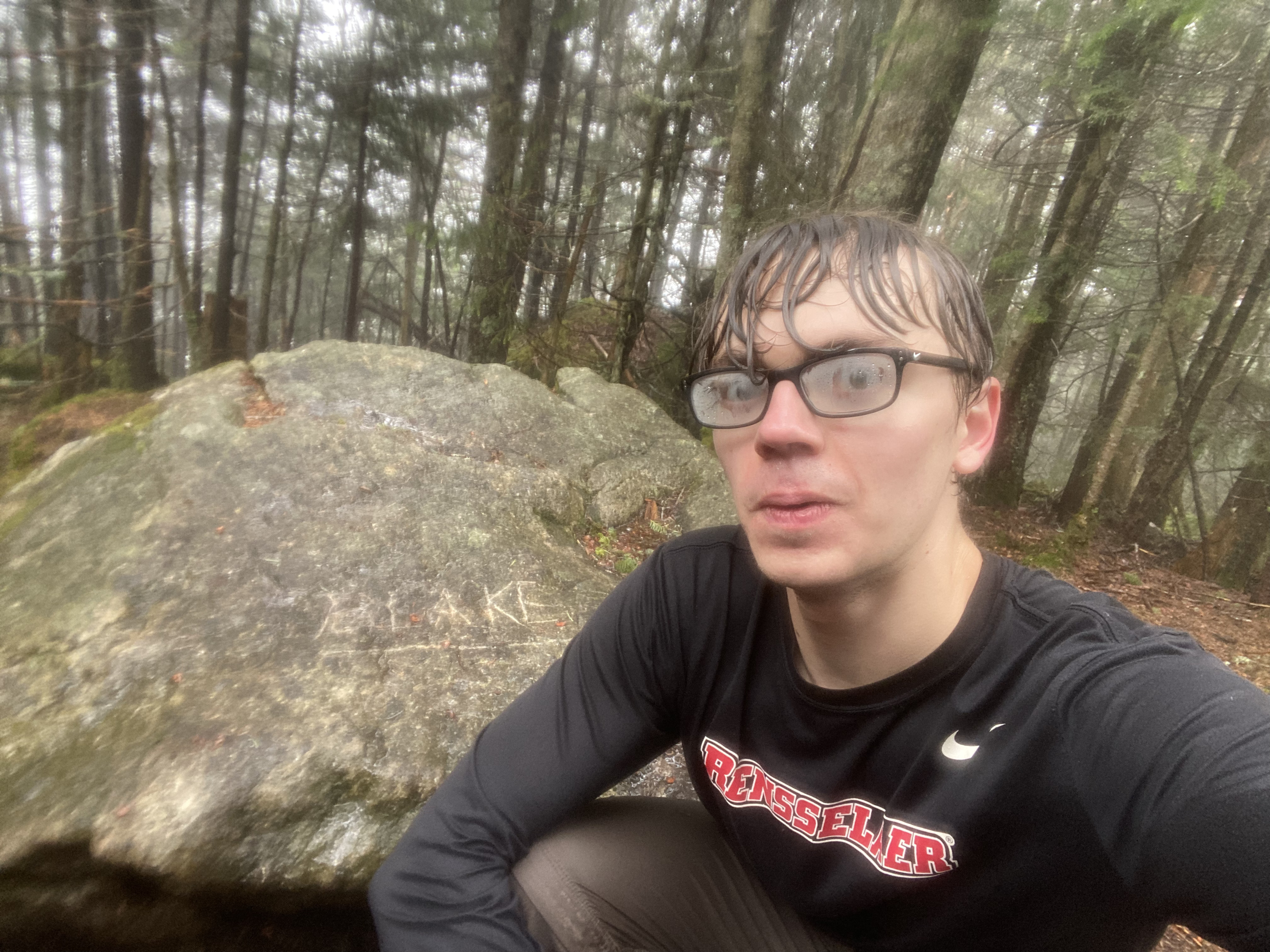
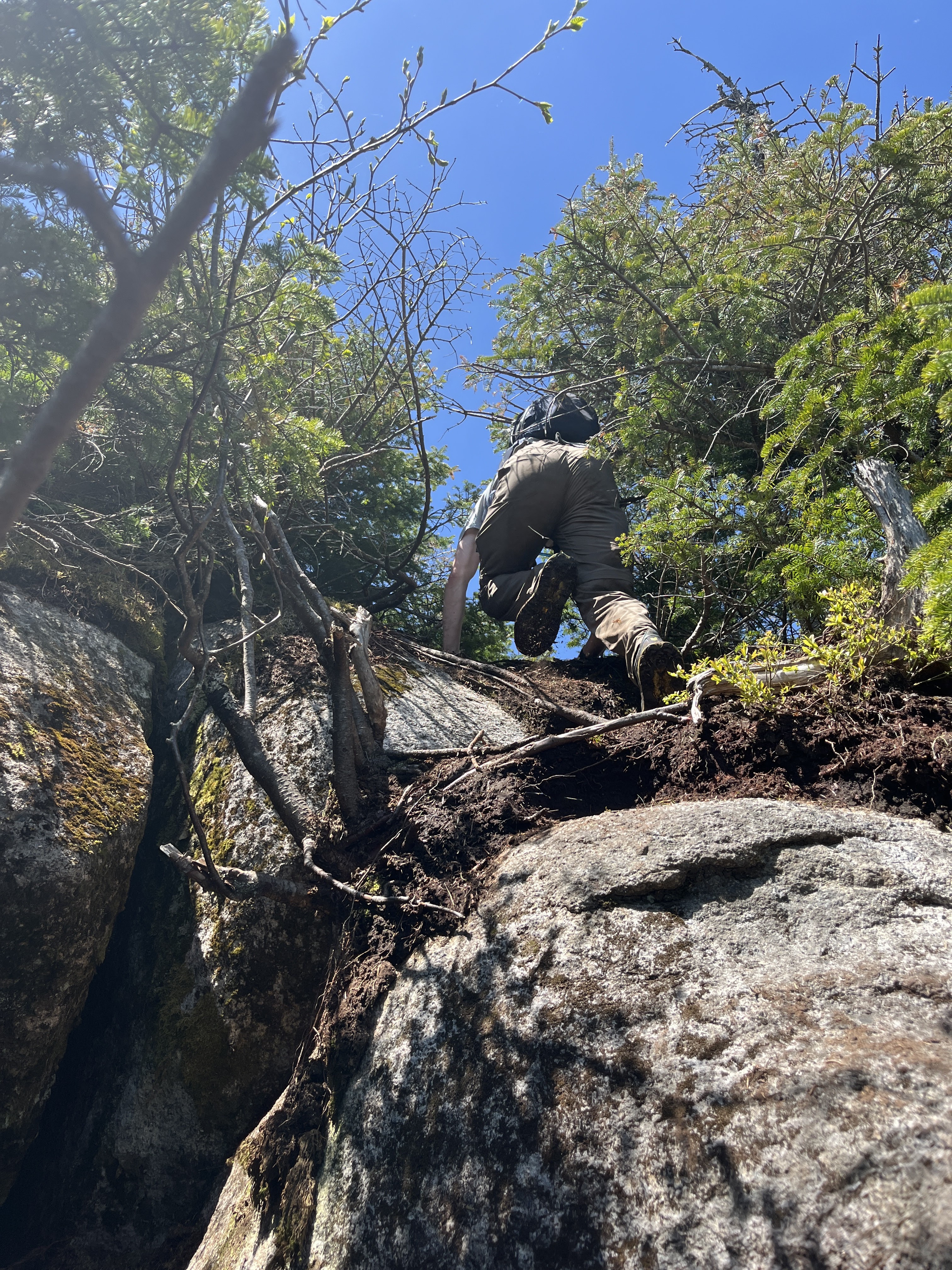
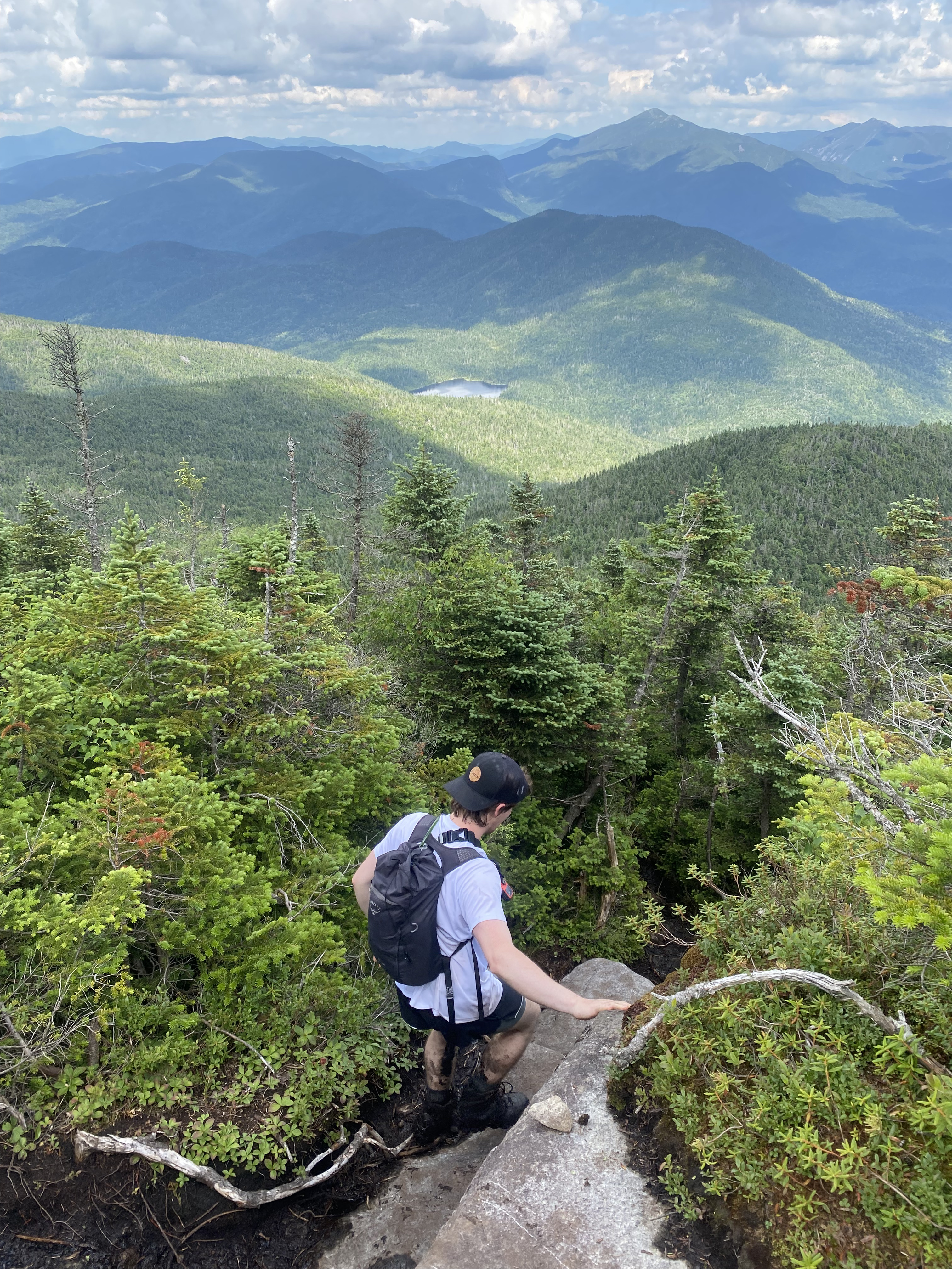
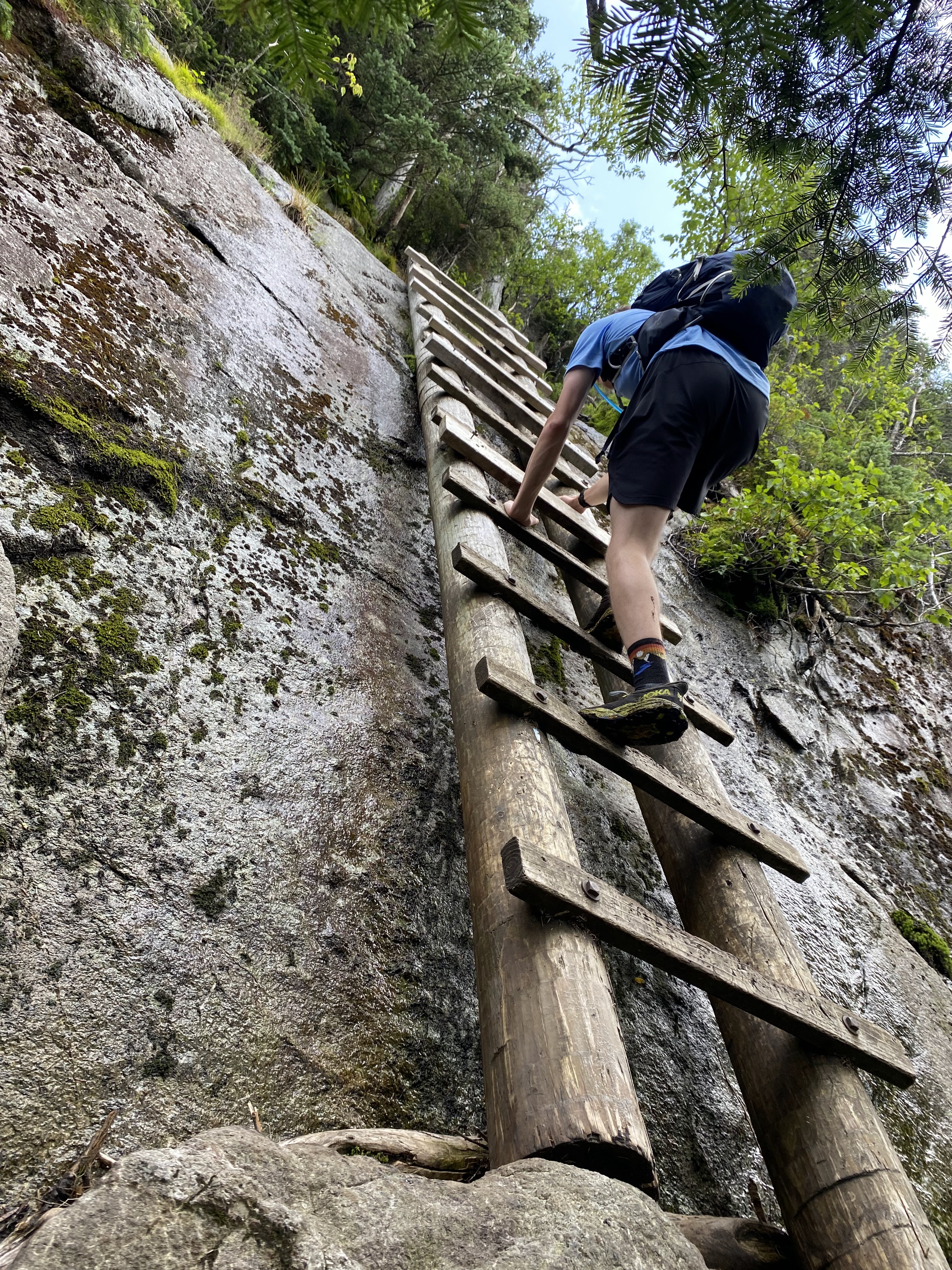
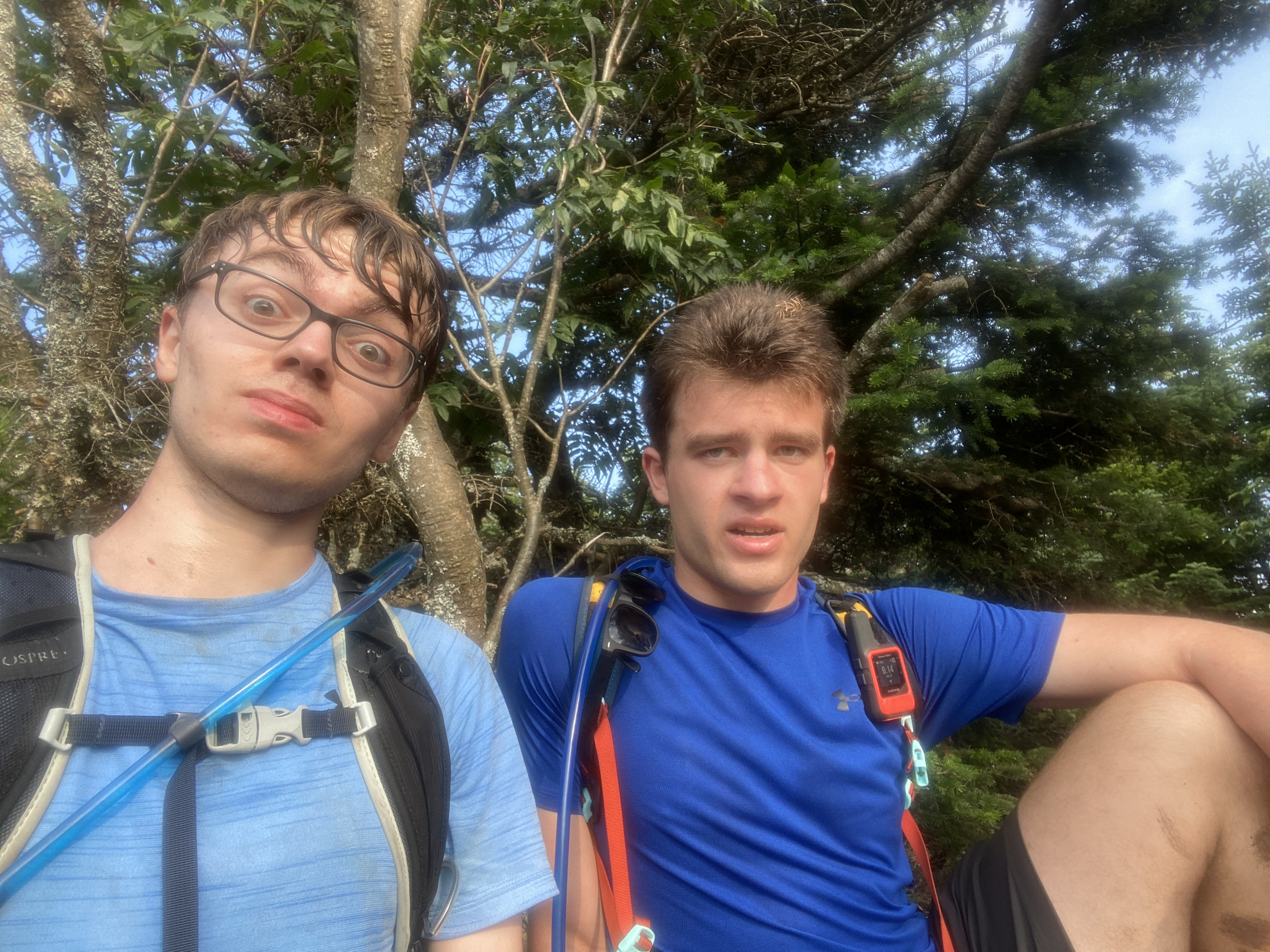
Stairs heading towards the summit. I am pictured on the right.
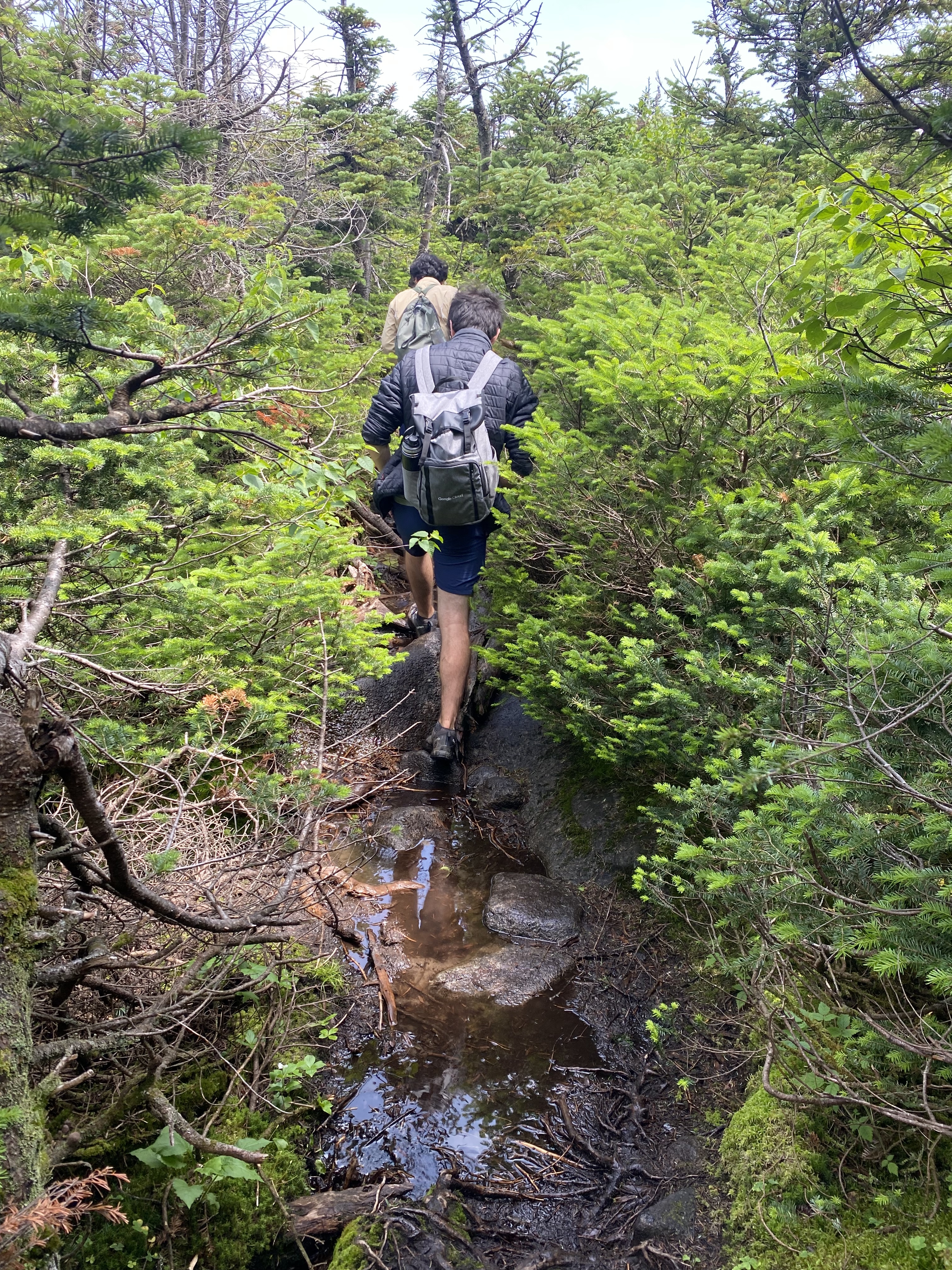
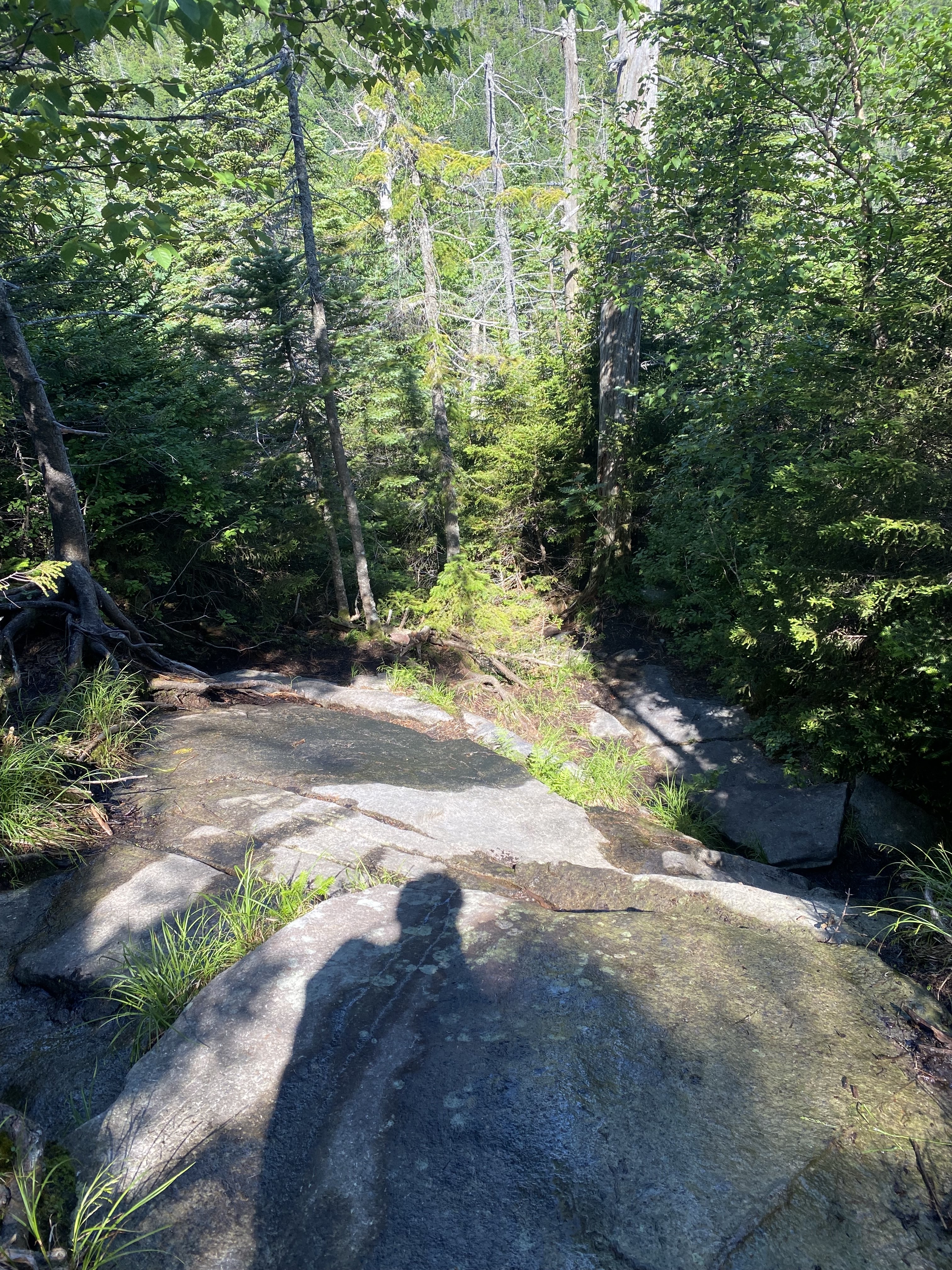
3 / 8
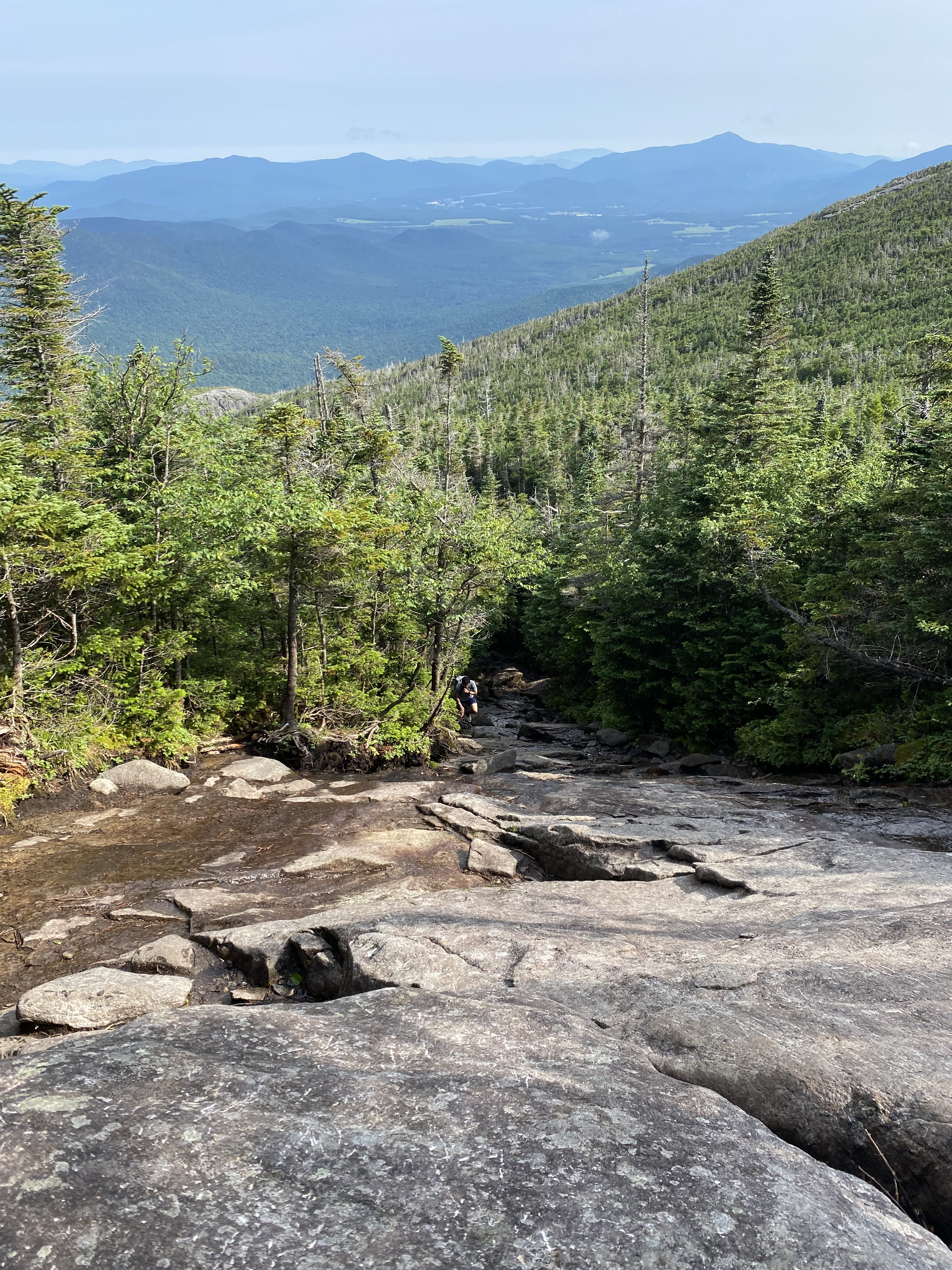
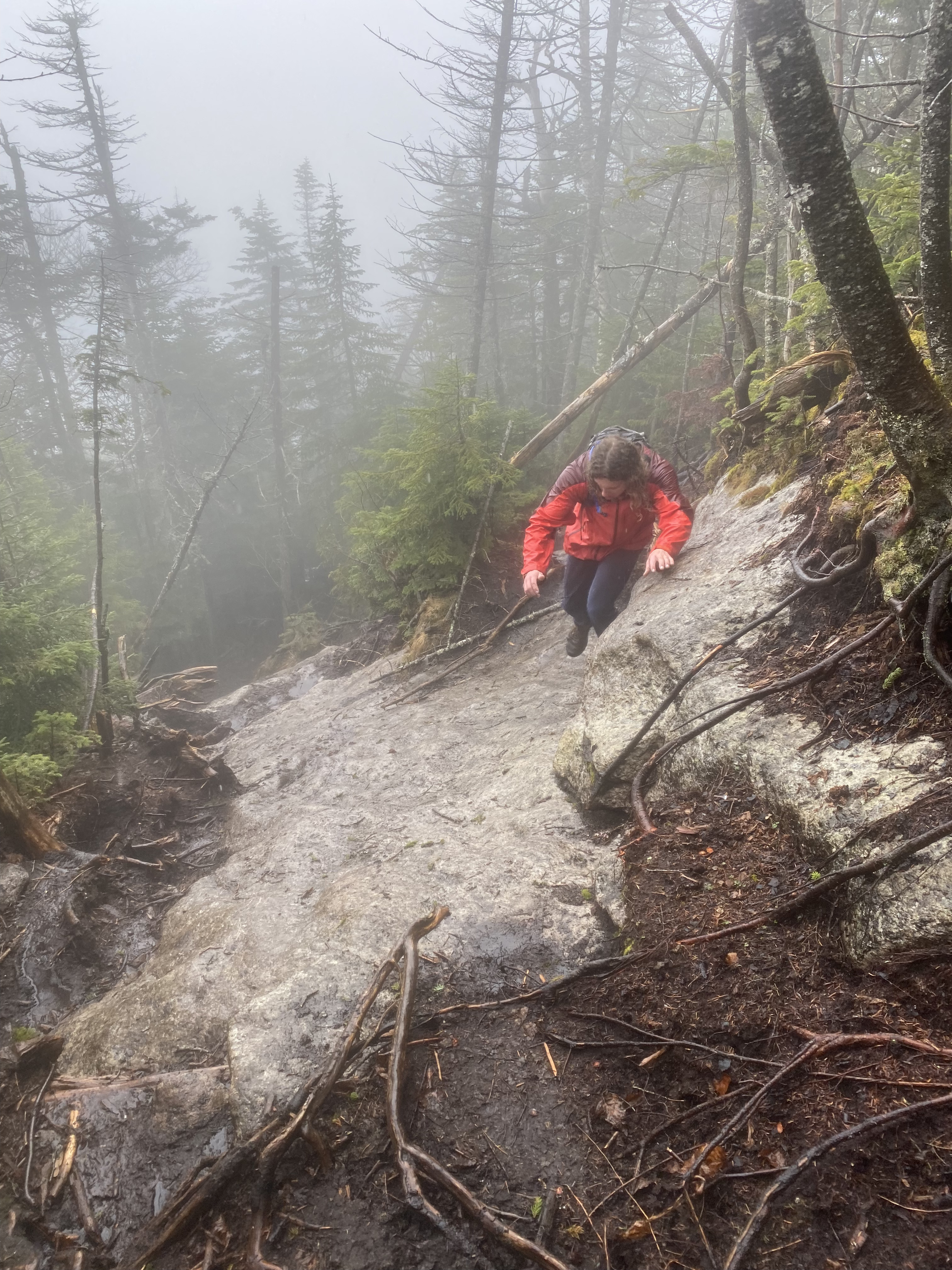
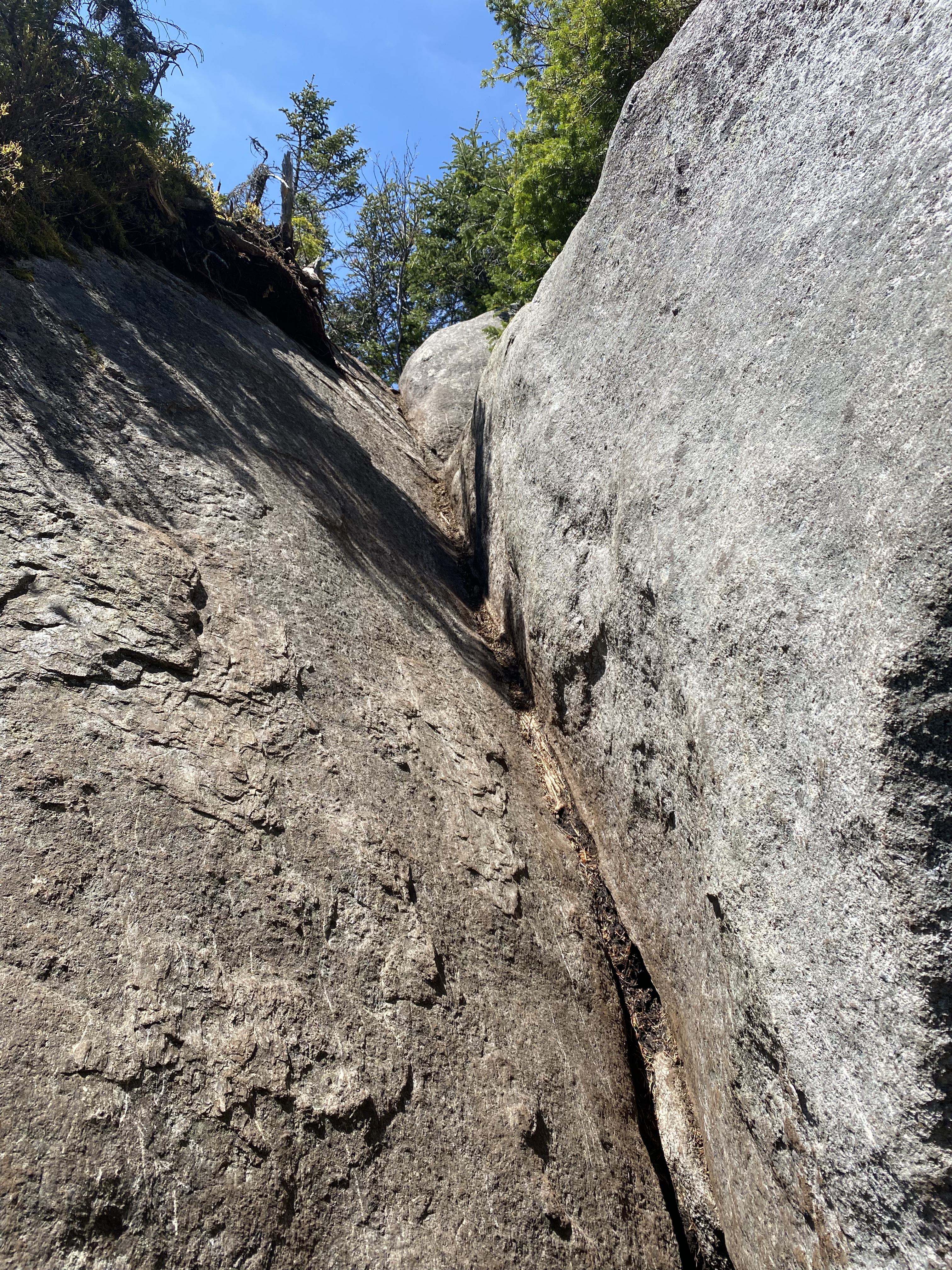
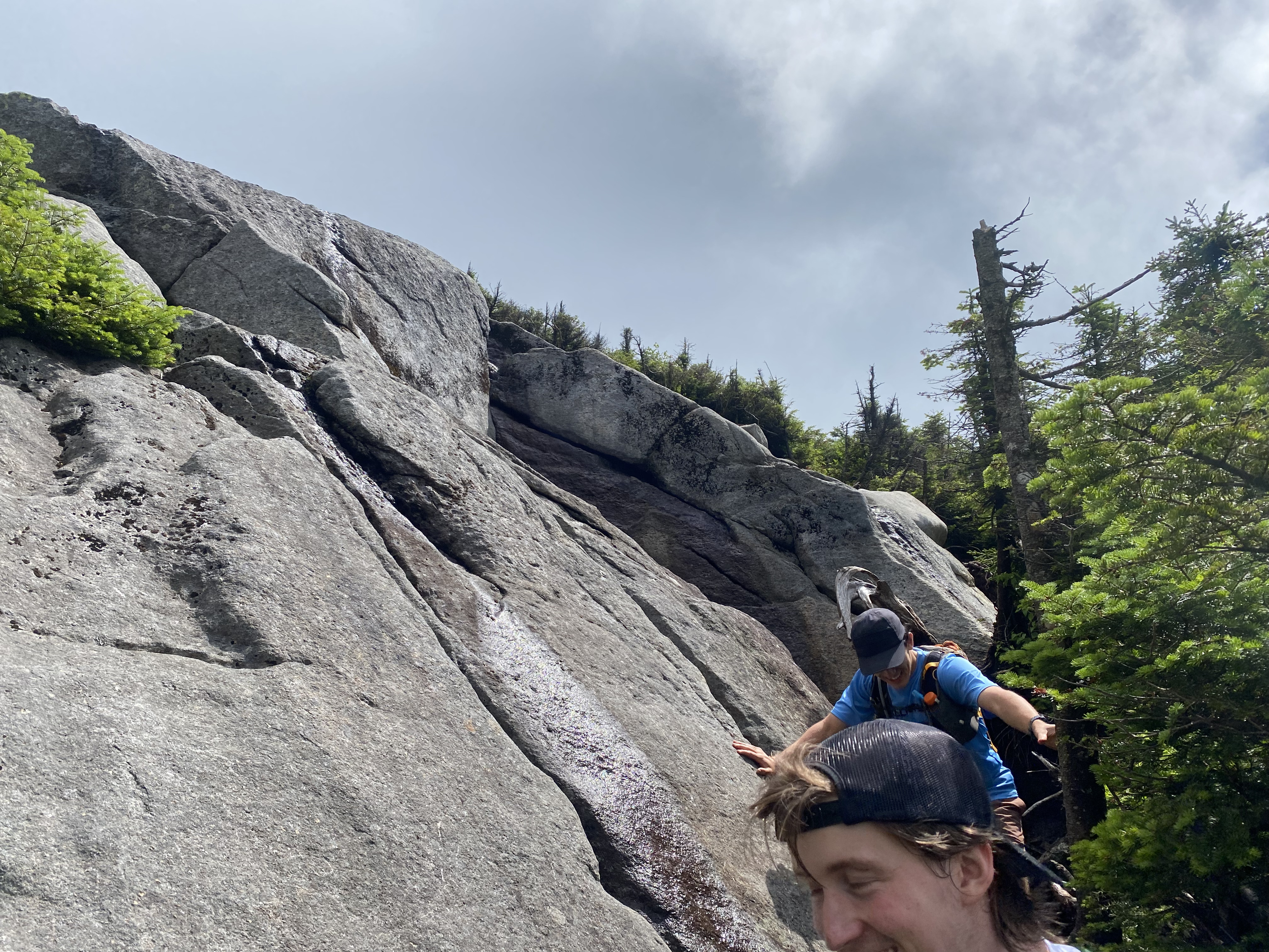
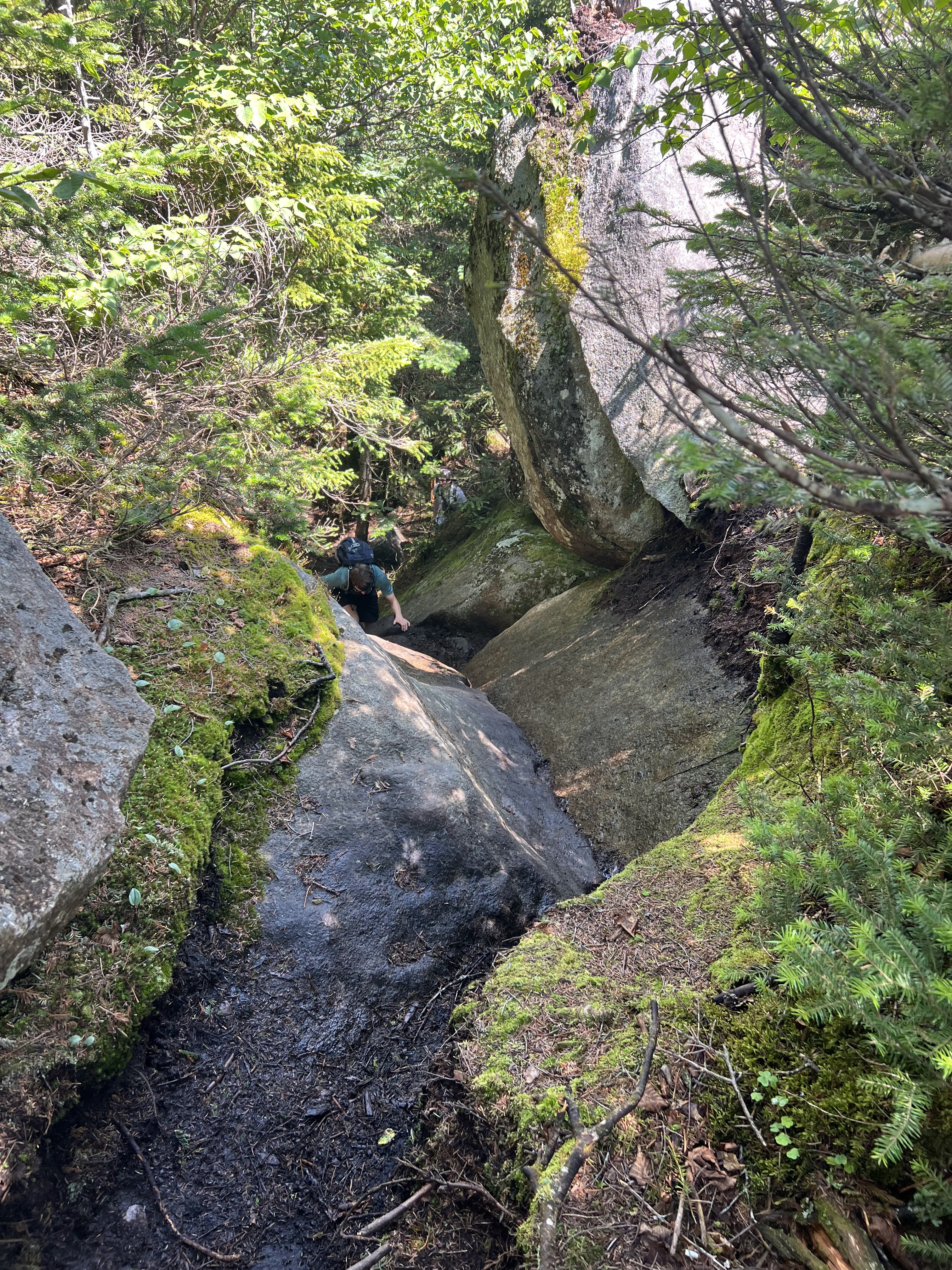
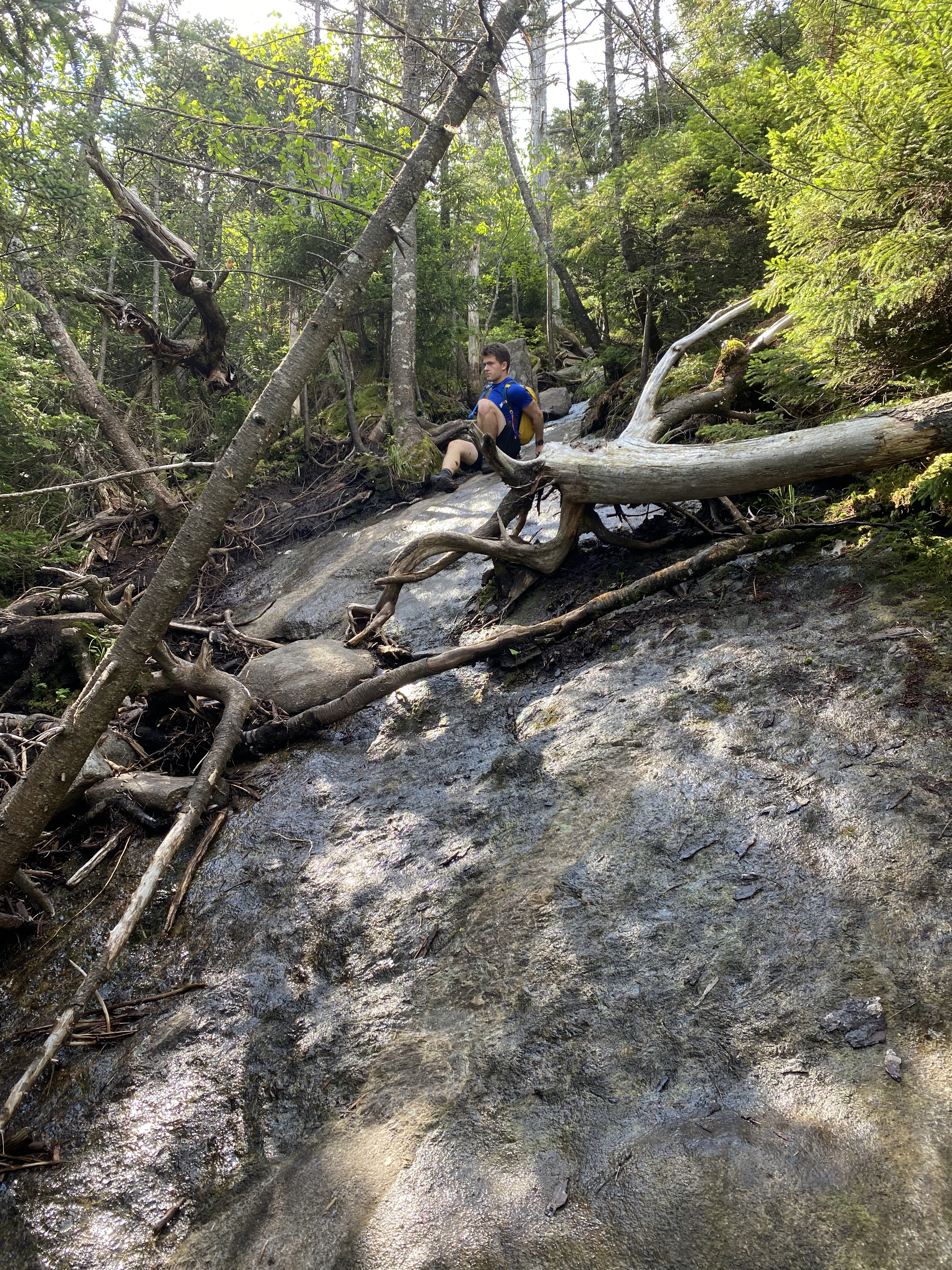
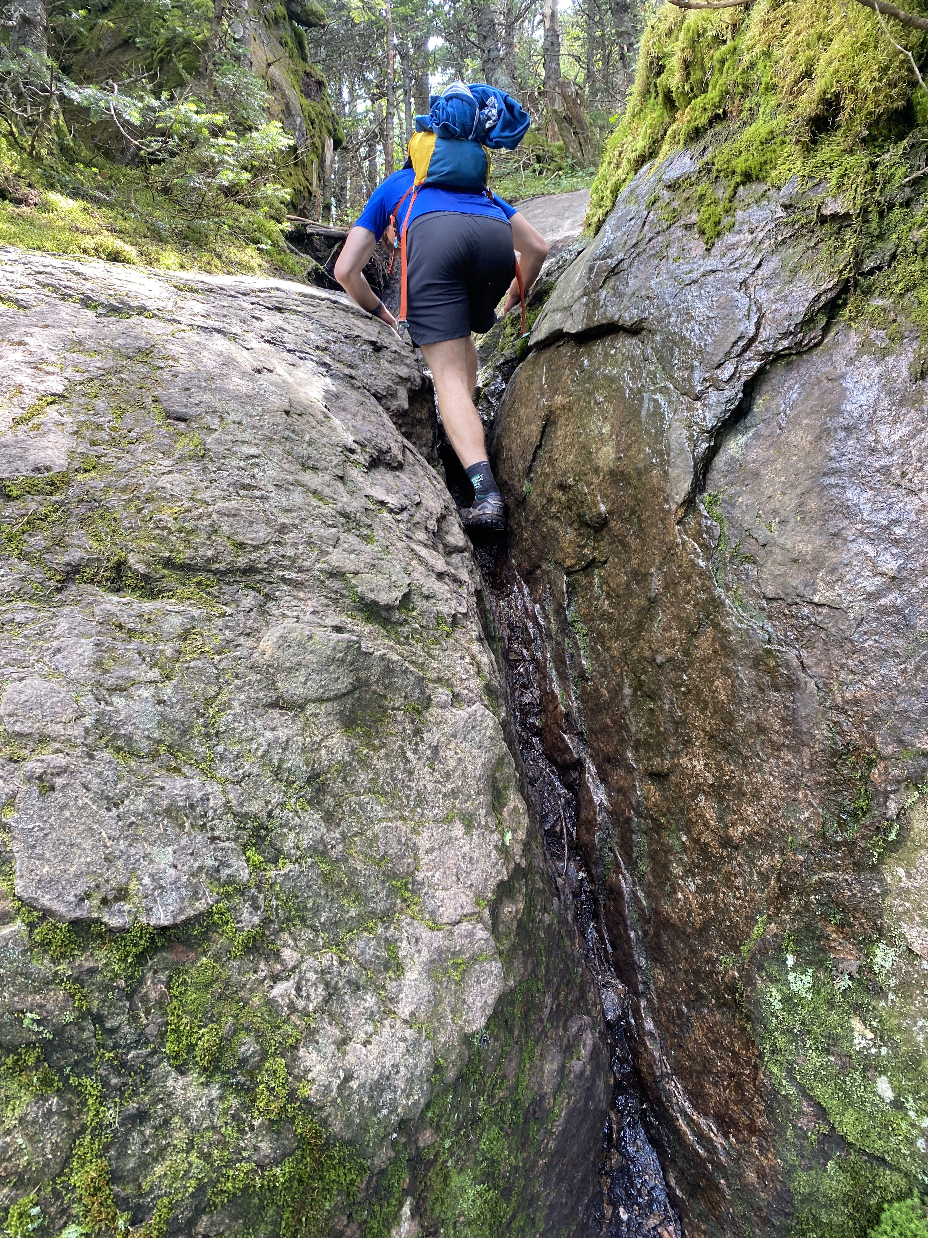
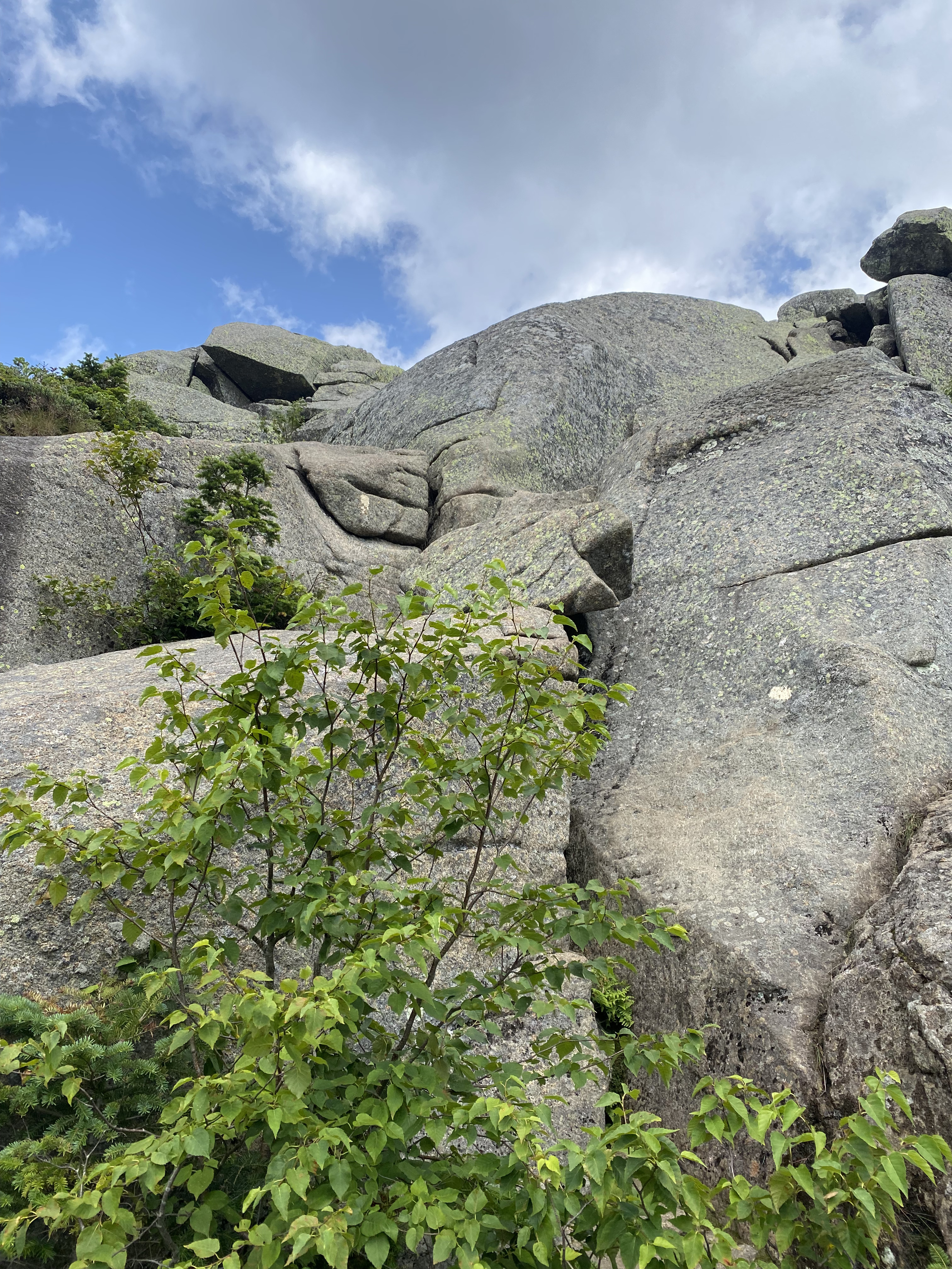
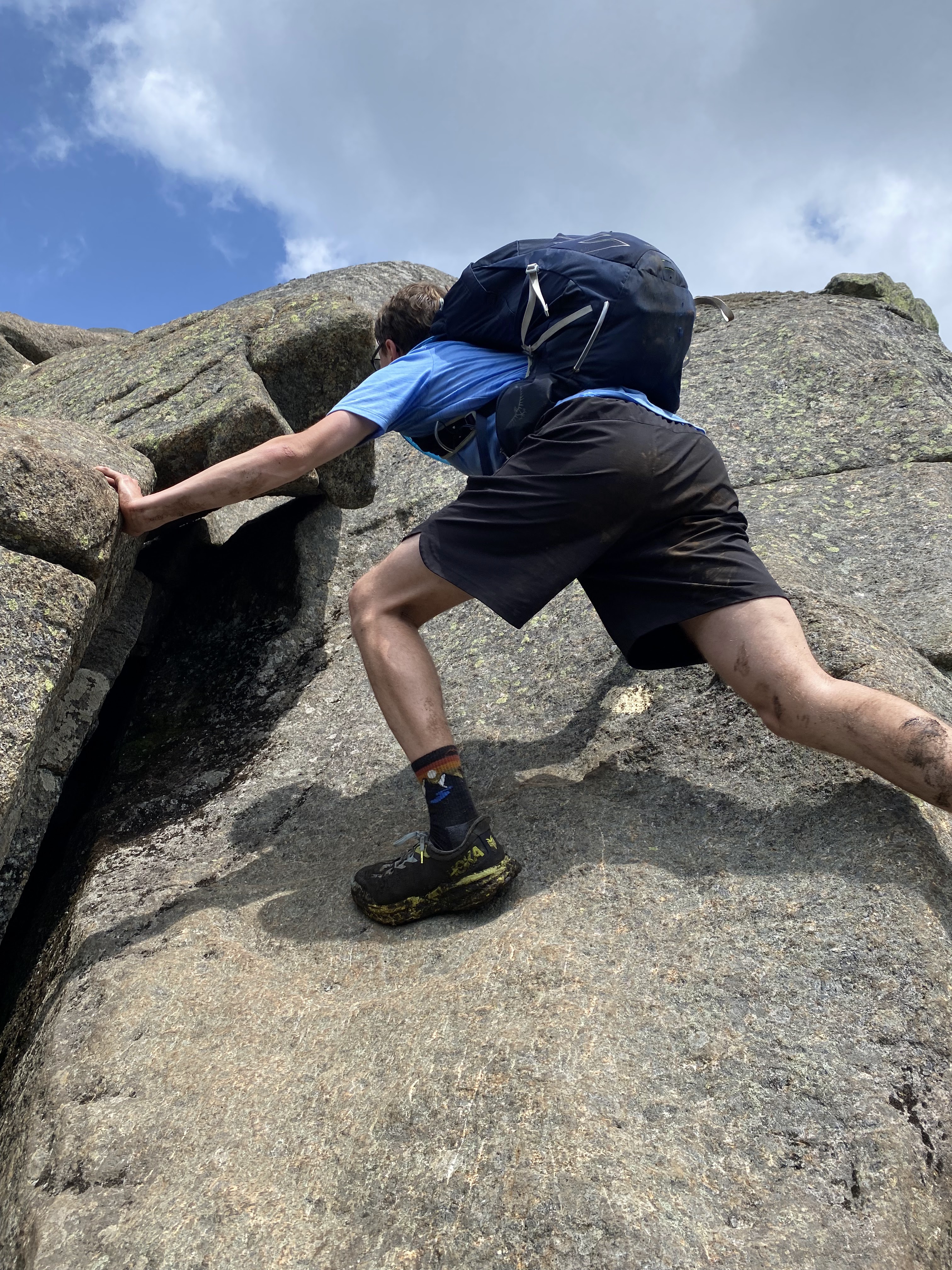
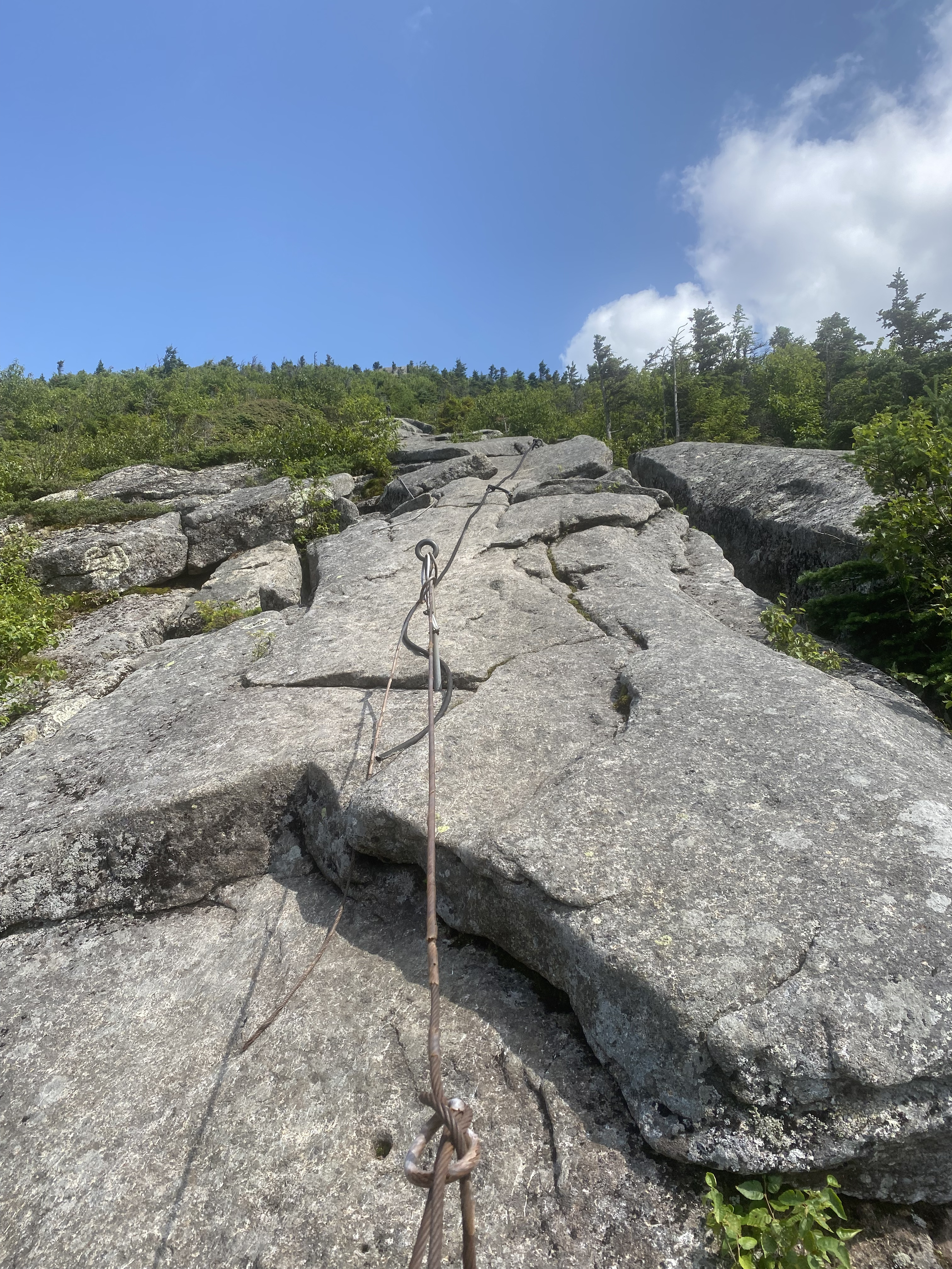
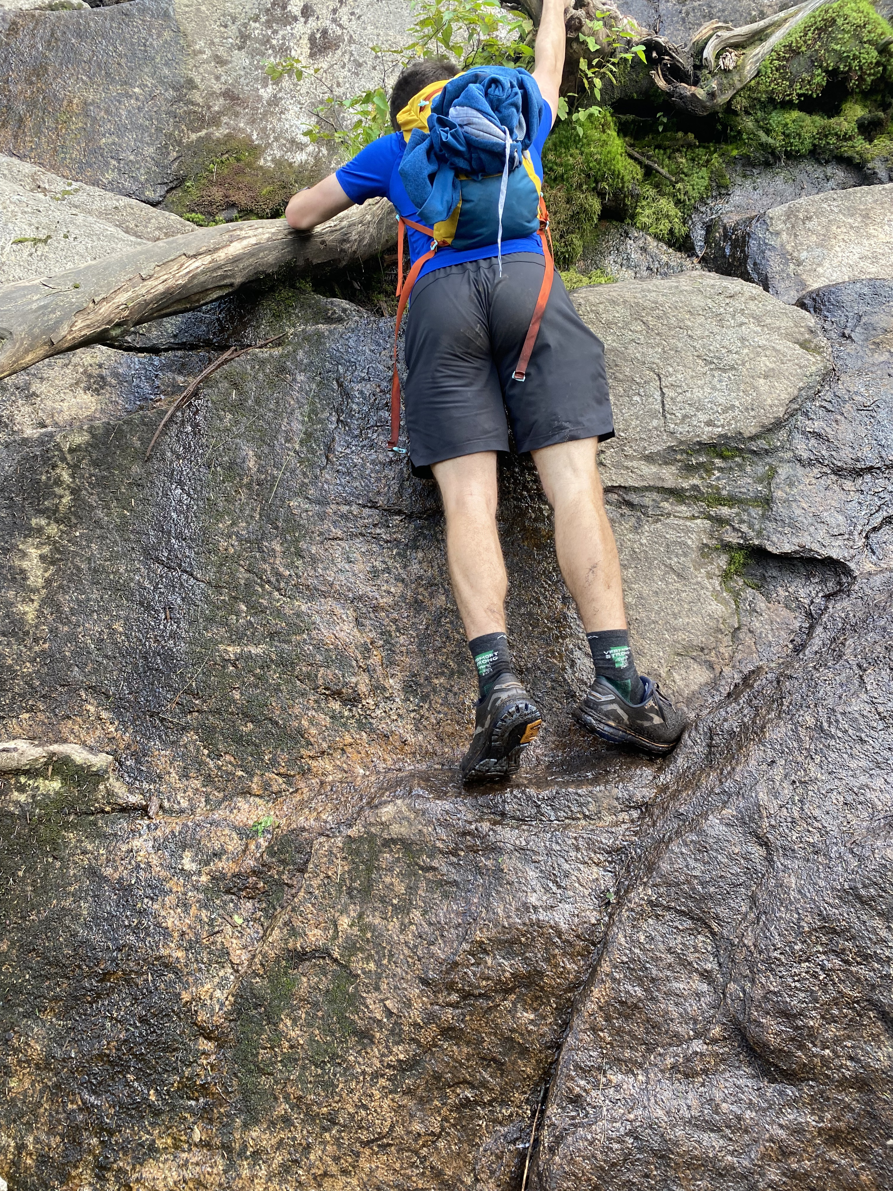
Some of the rock scrambles require the use of hands!
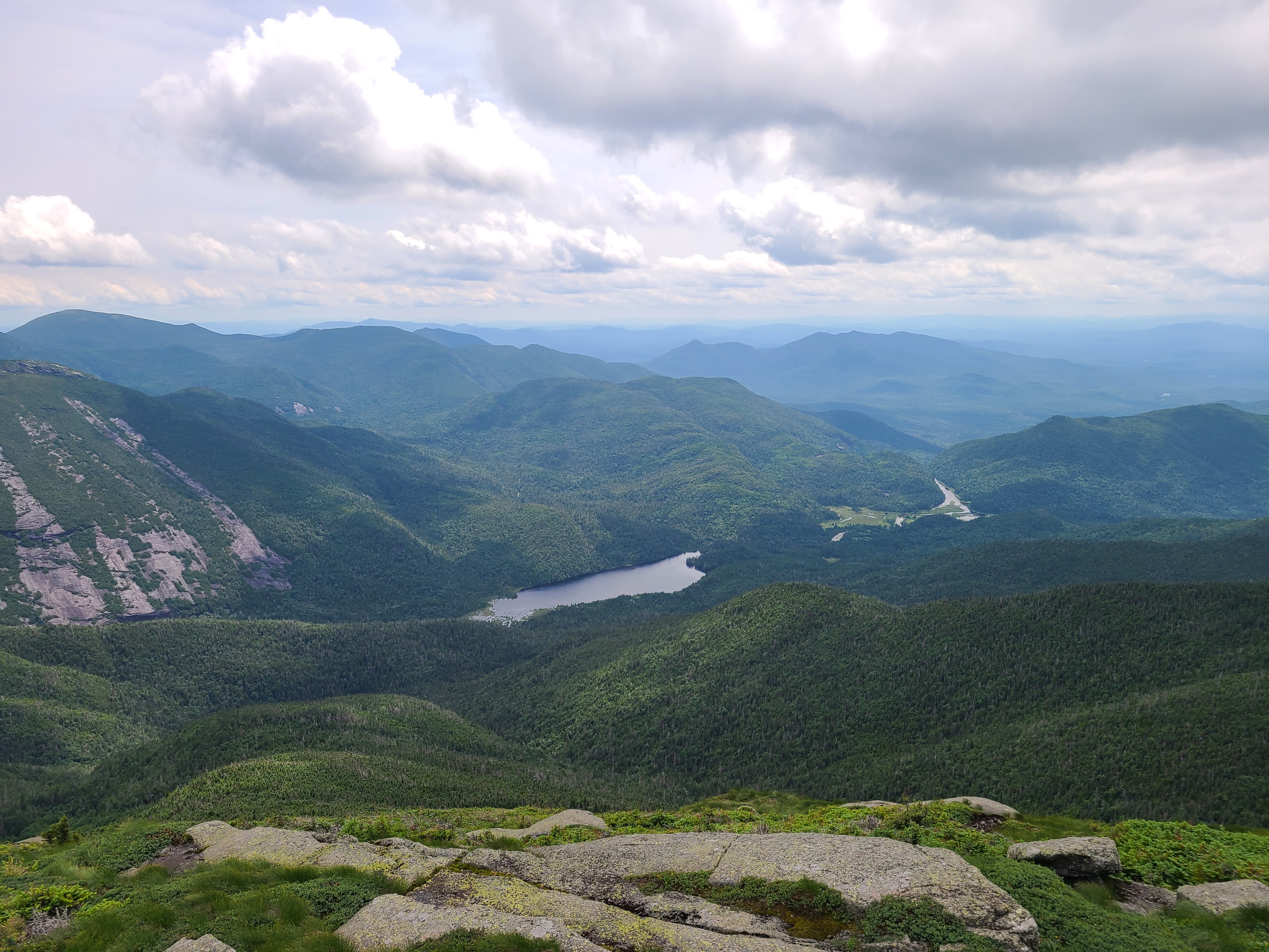
4 / 8
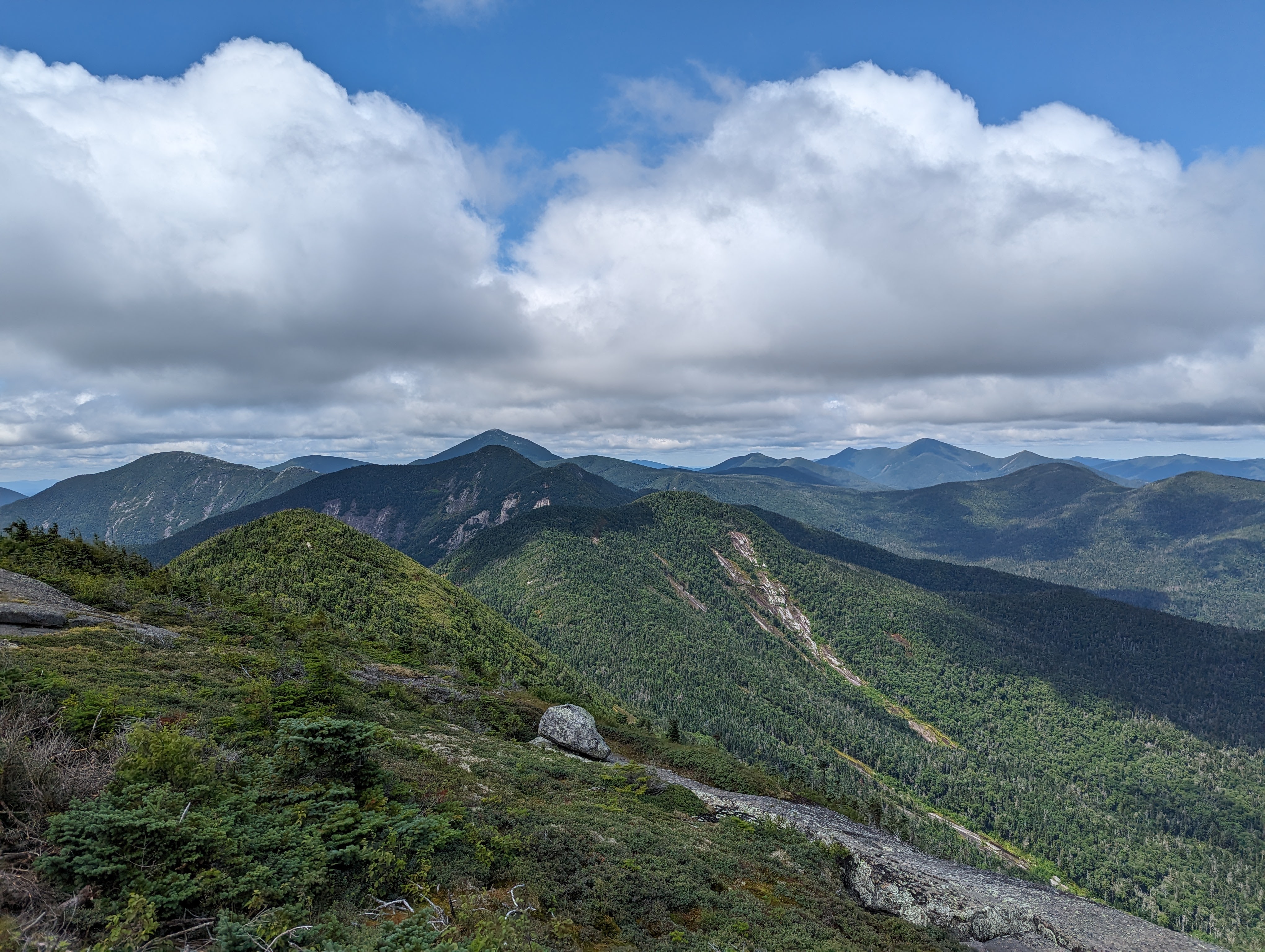
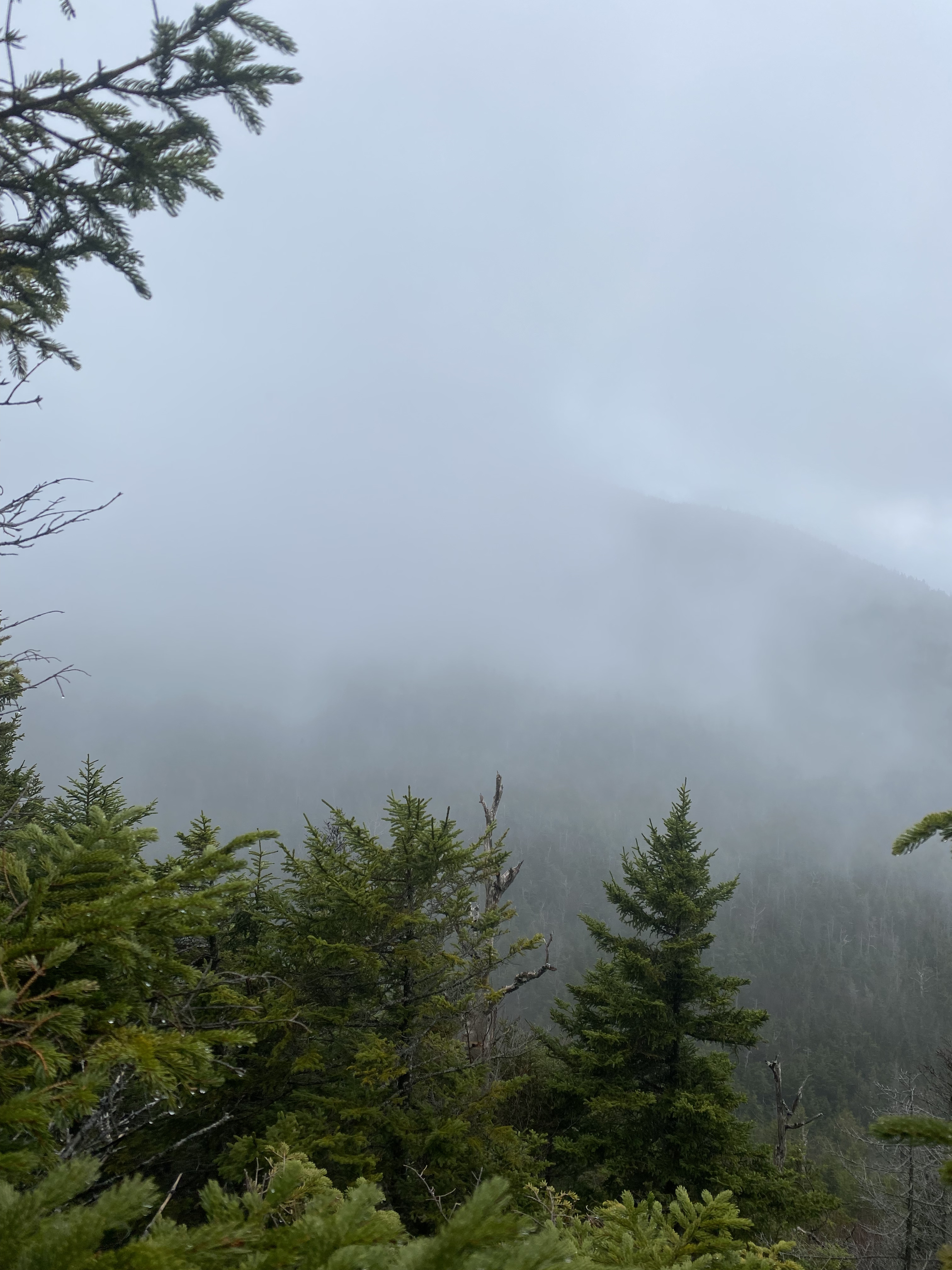
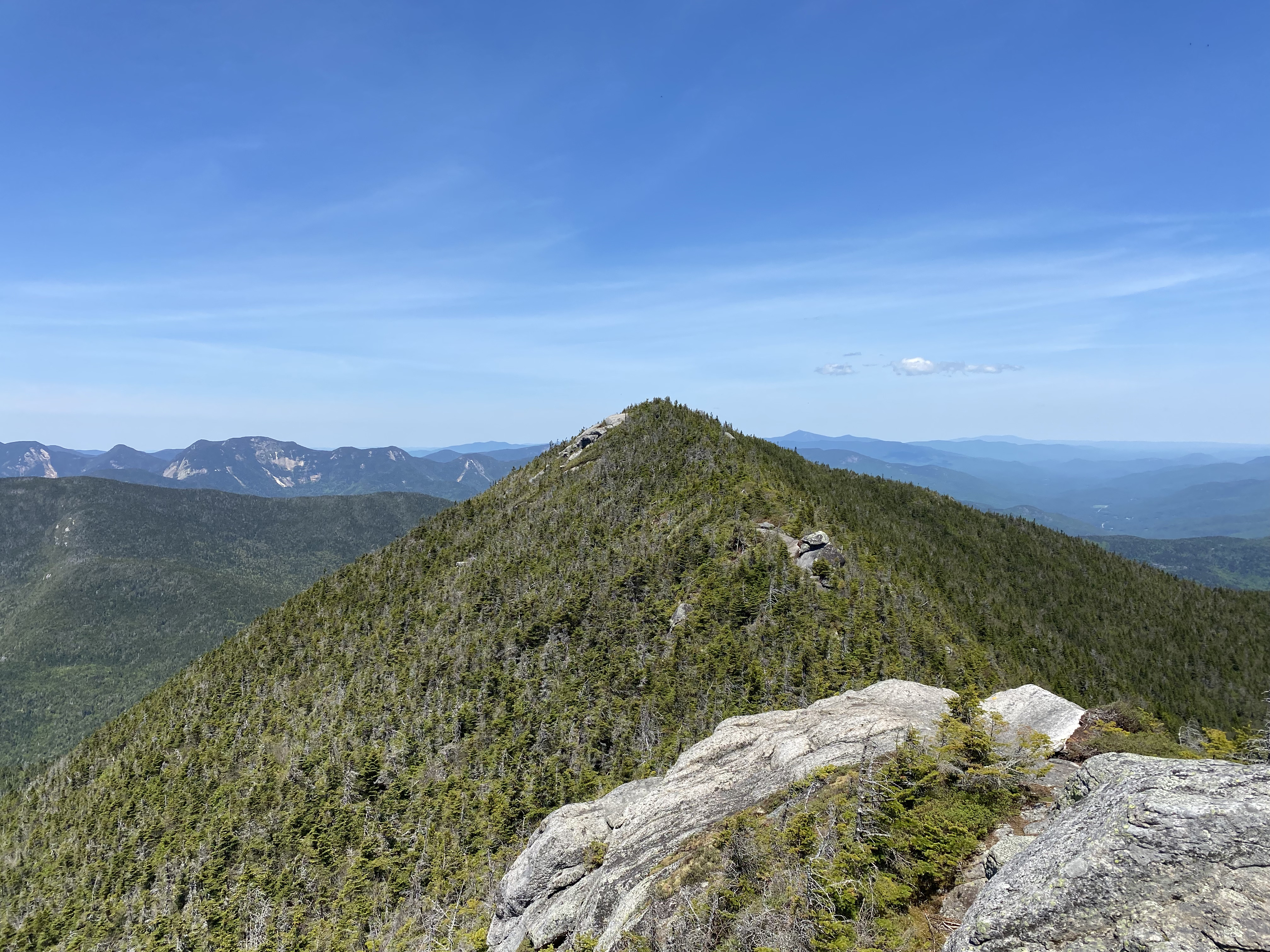
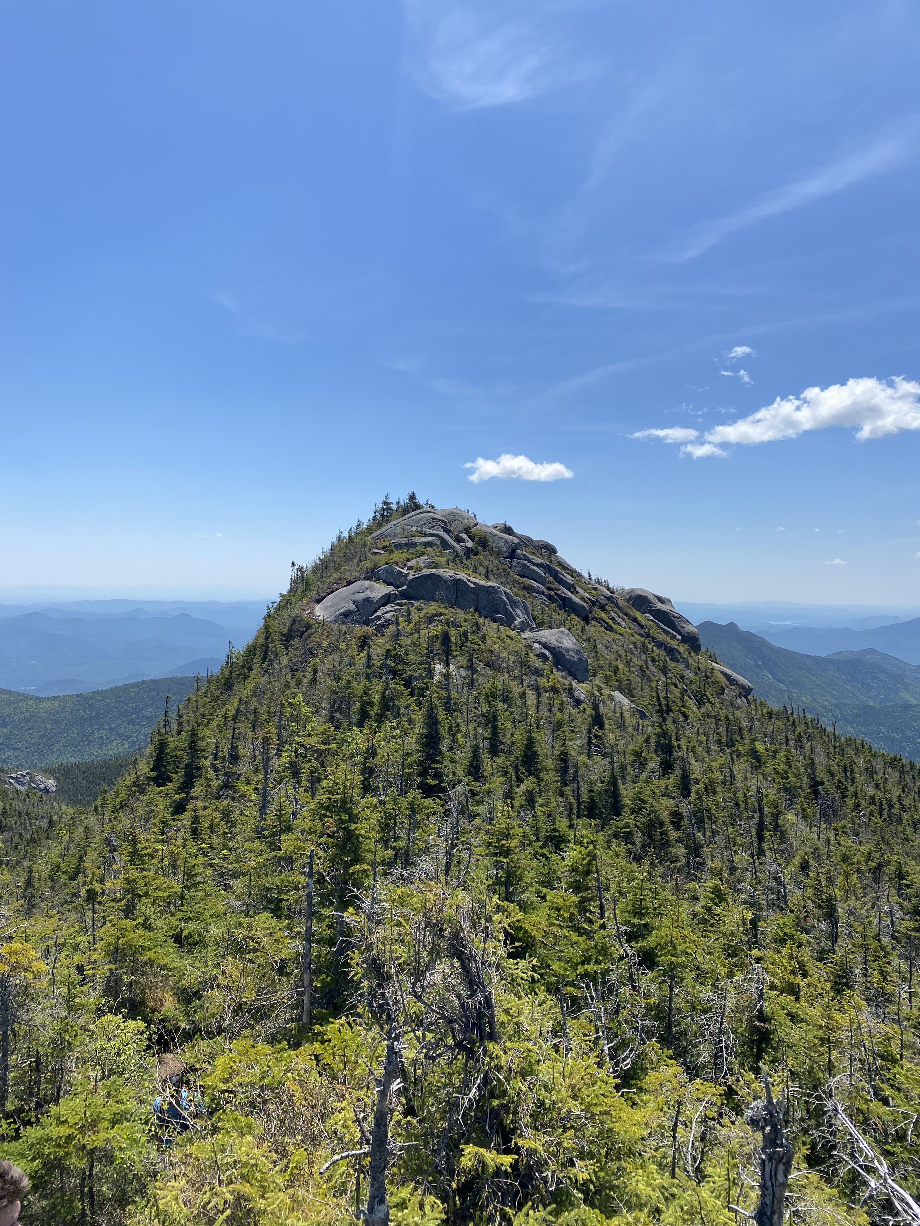
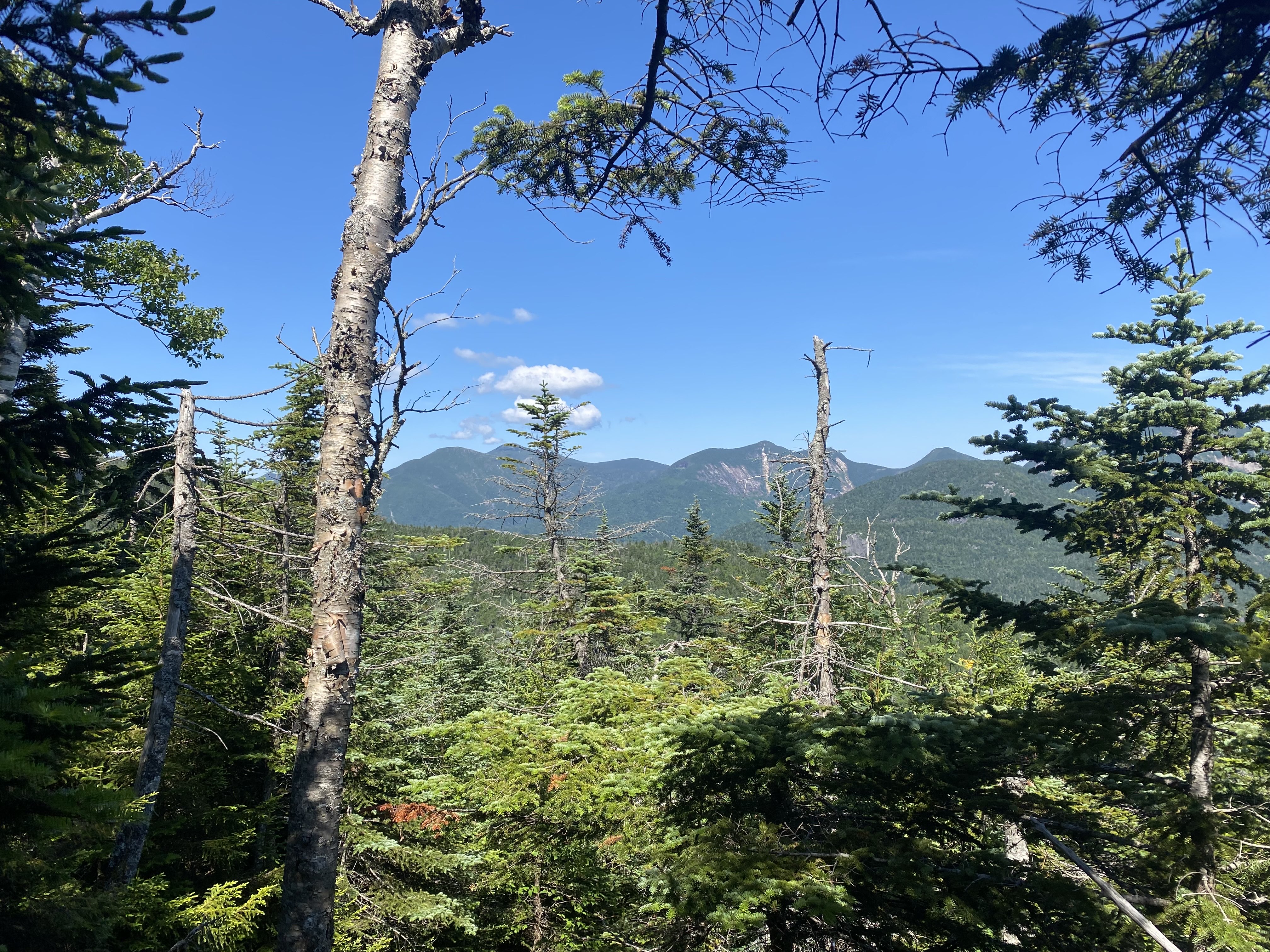
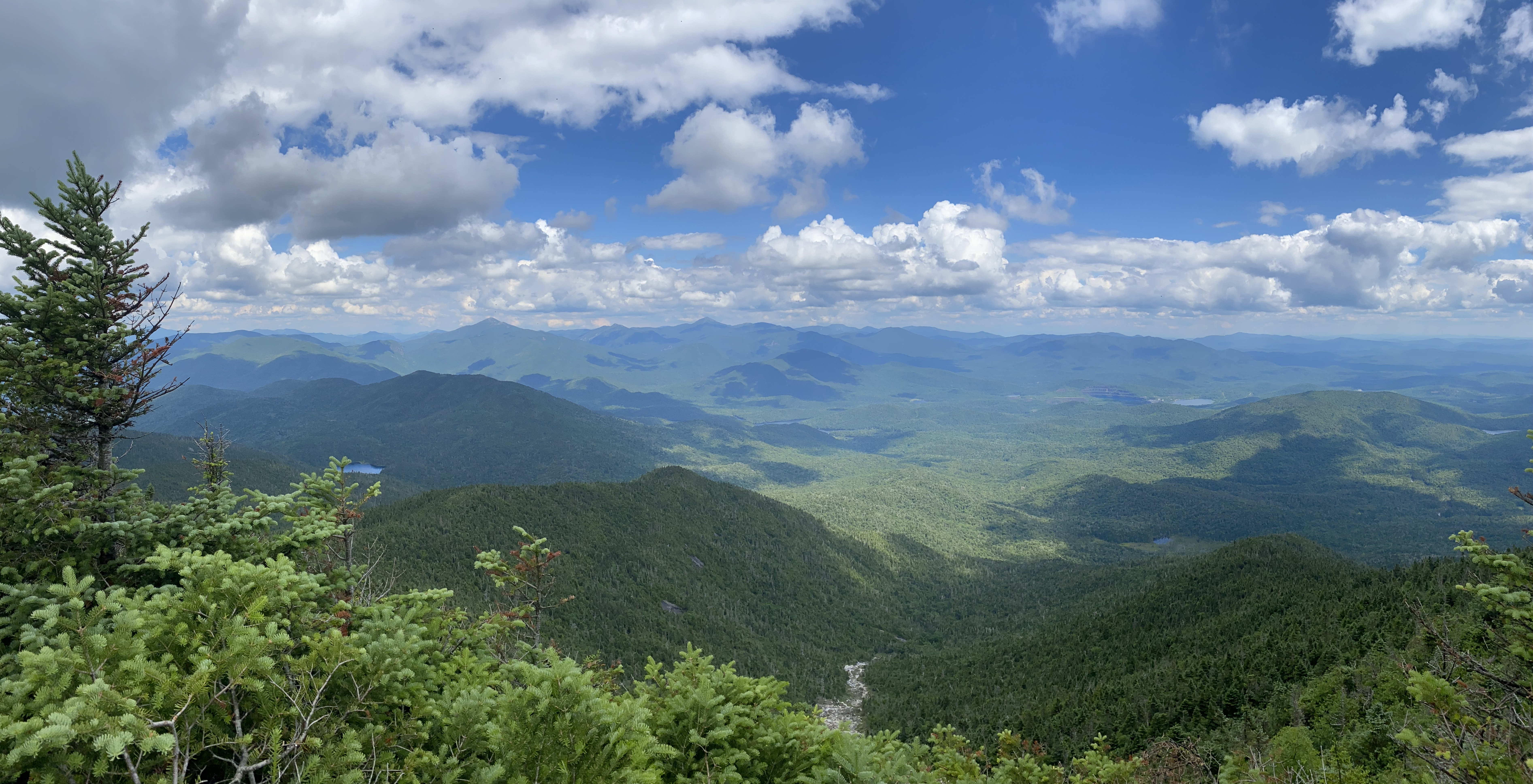
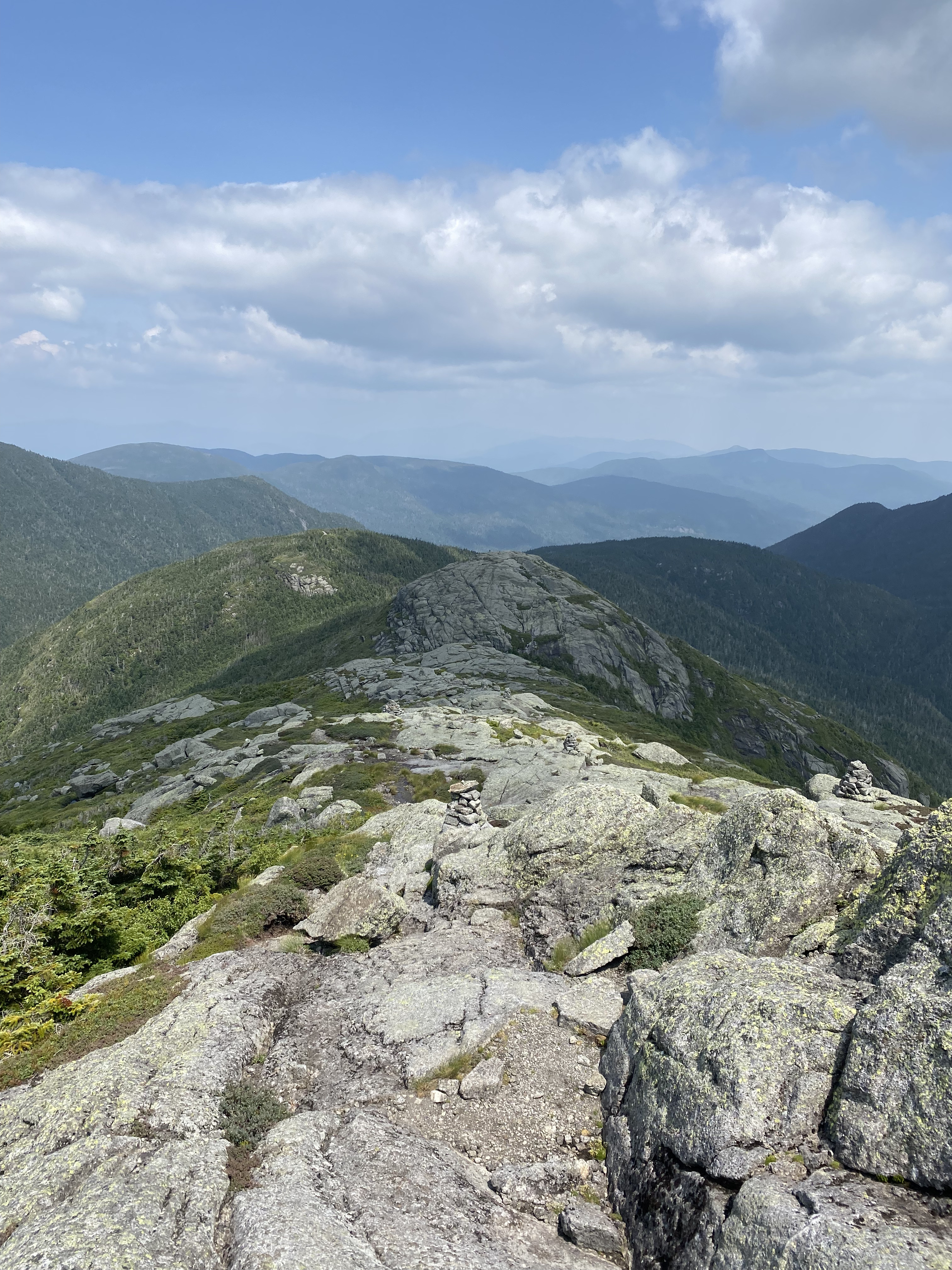
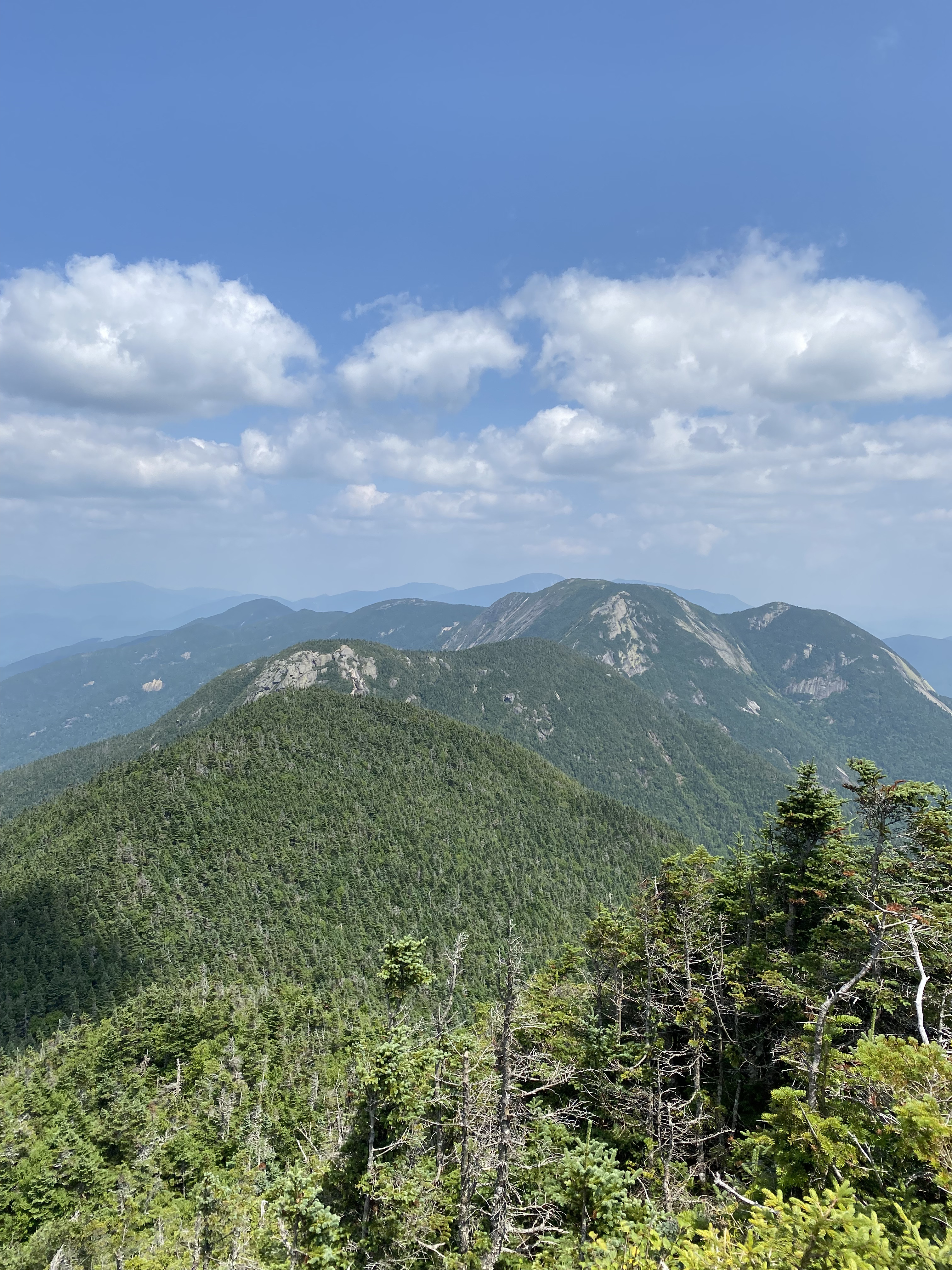
Panoramic view from the summit of Big Slide.
5 / 8
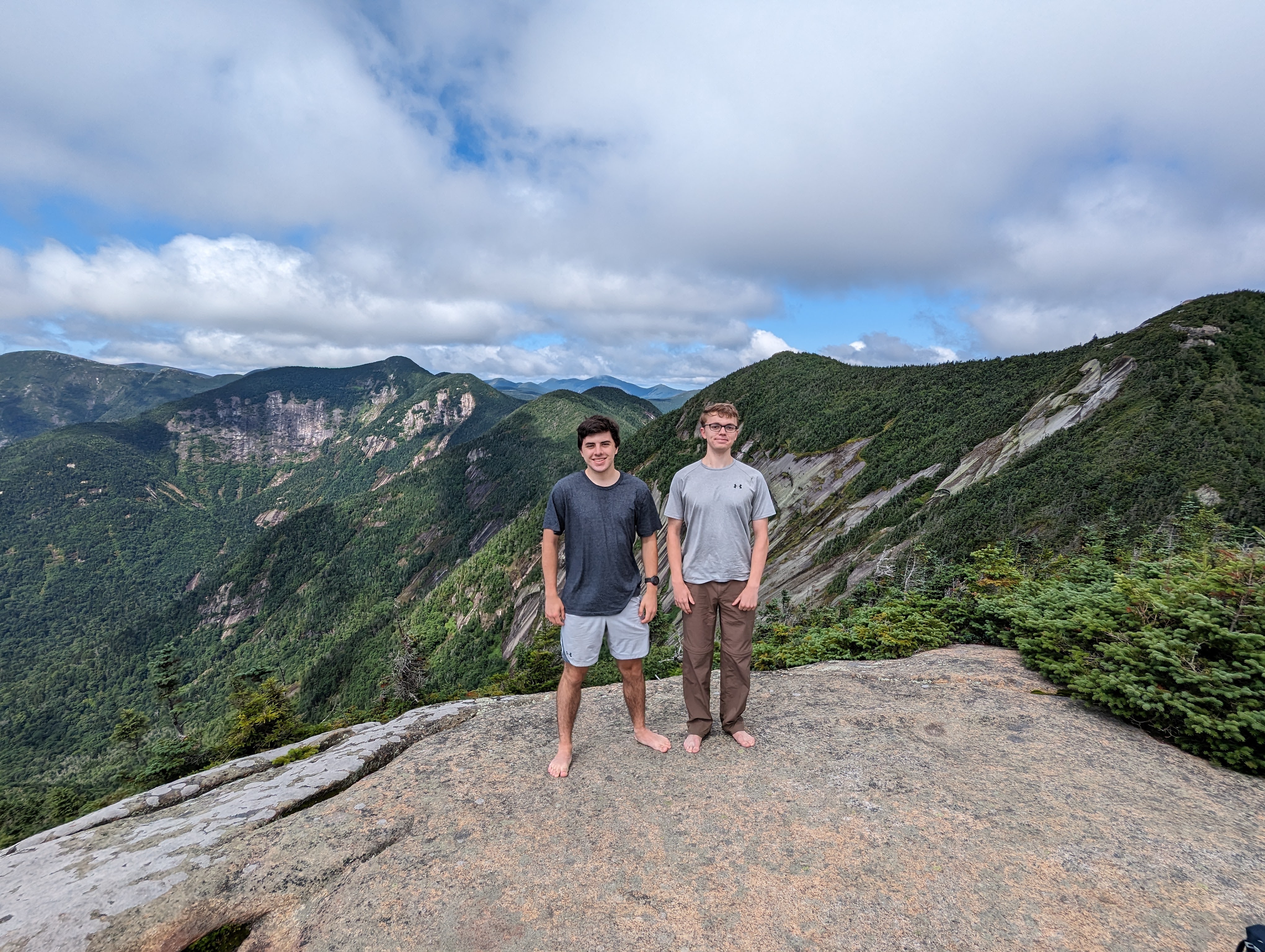
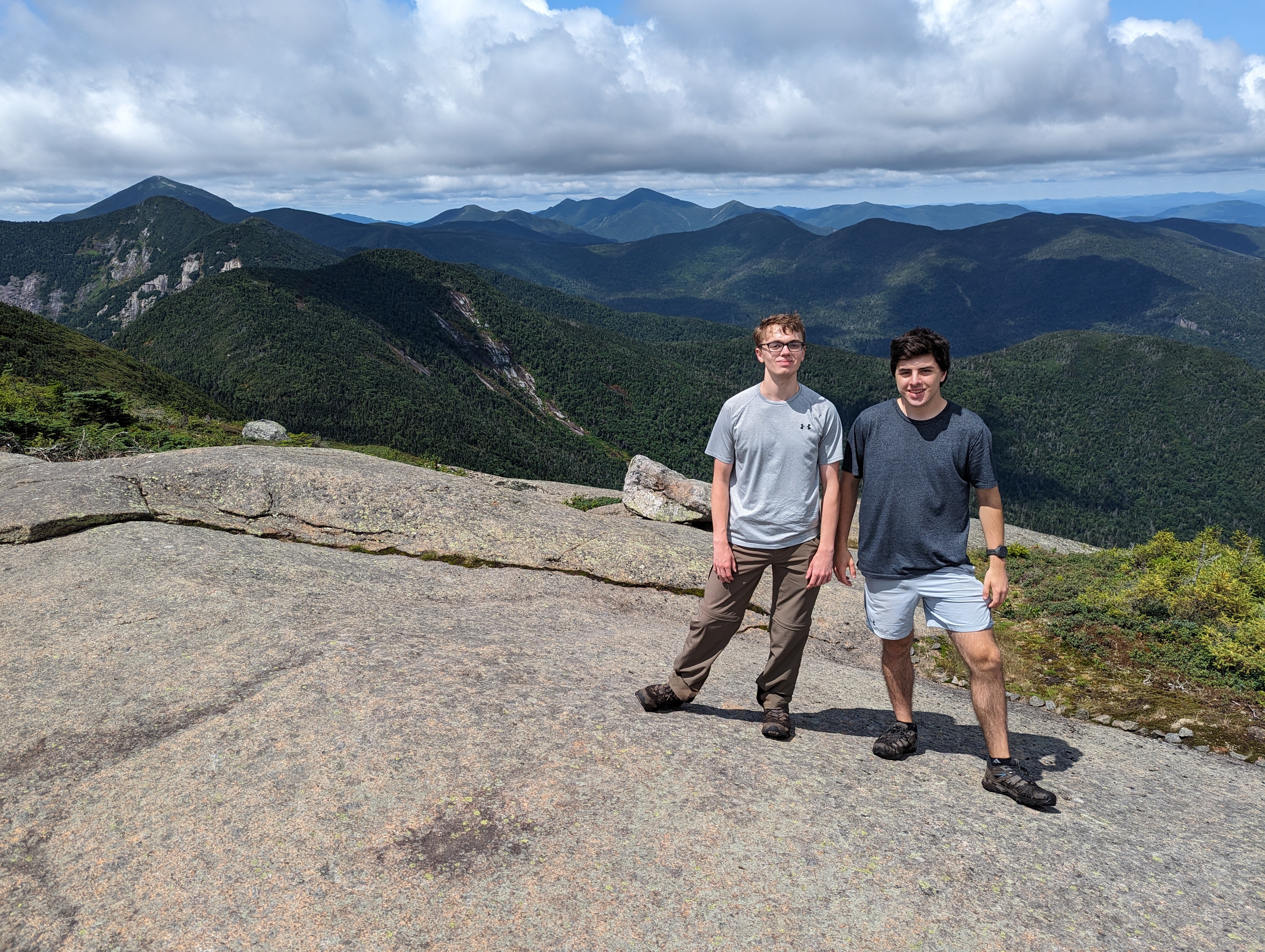
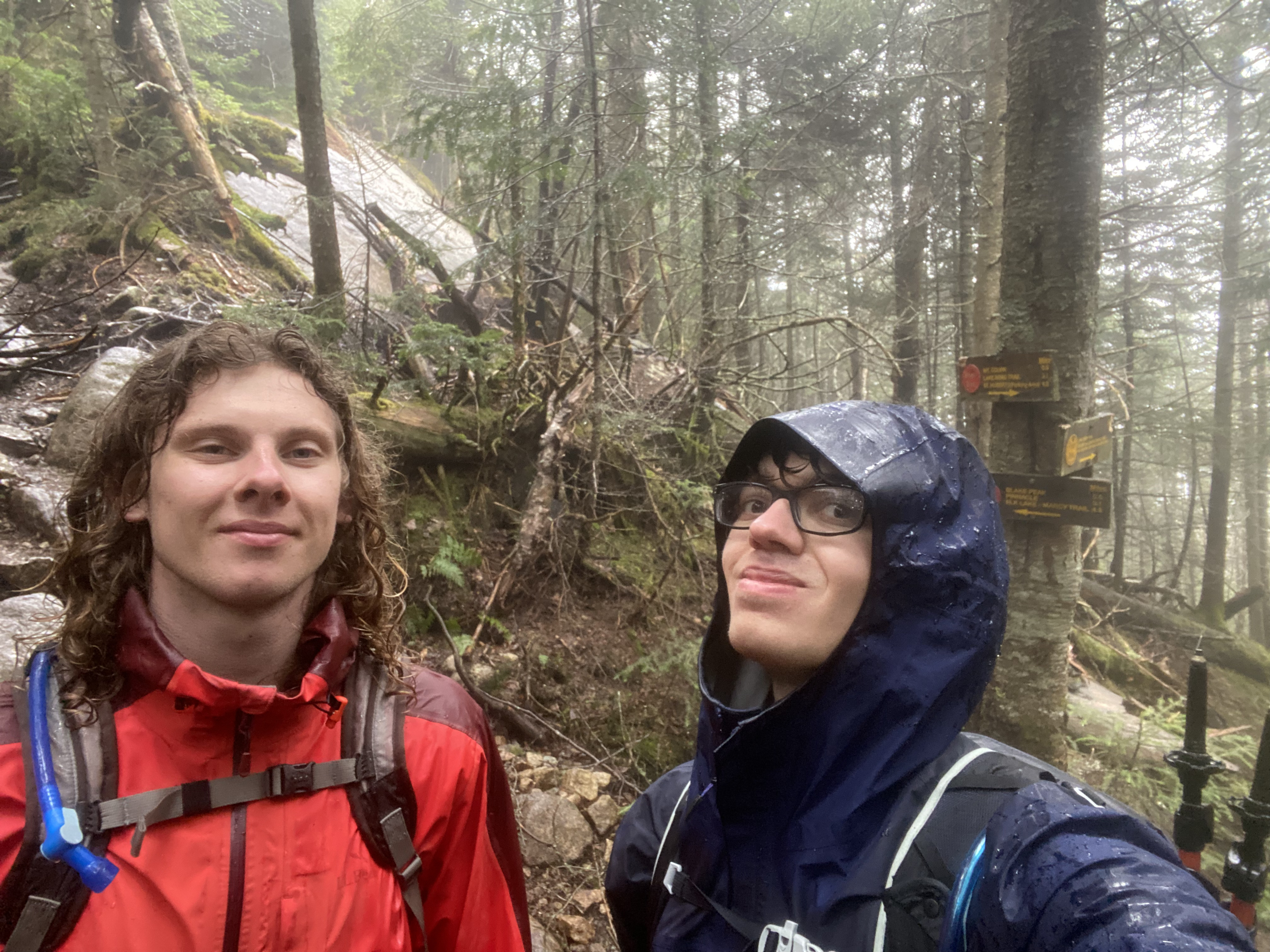
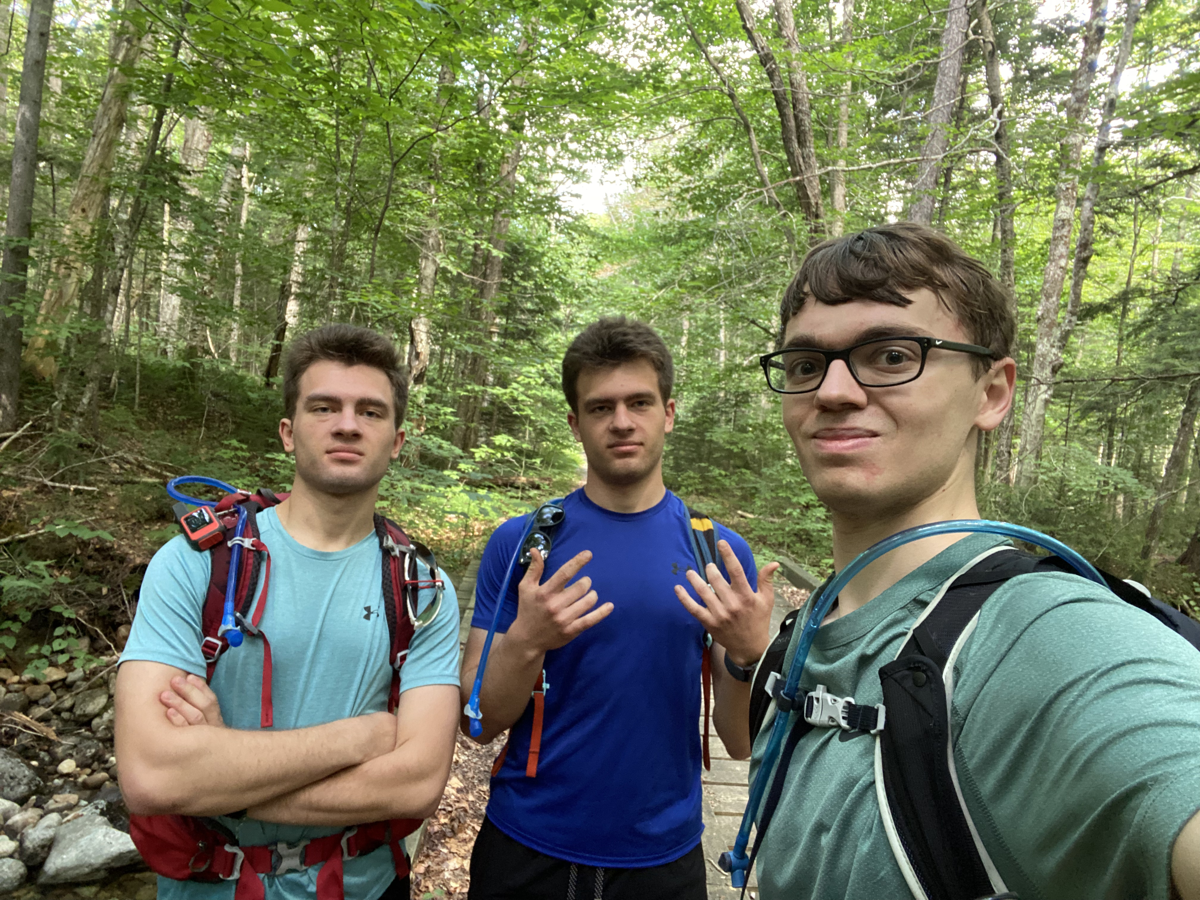
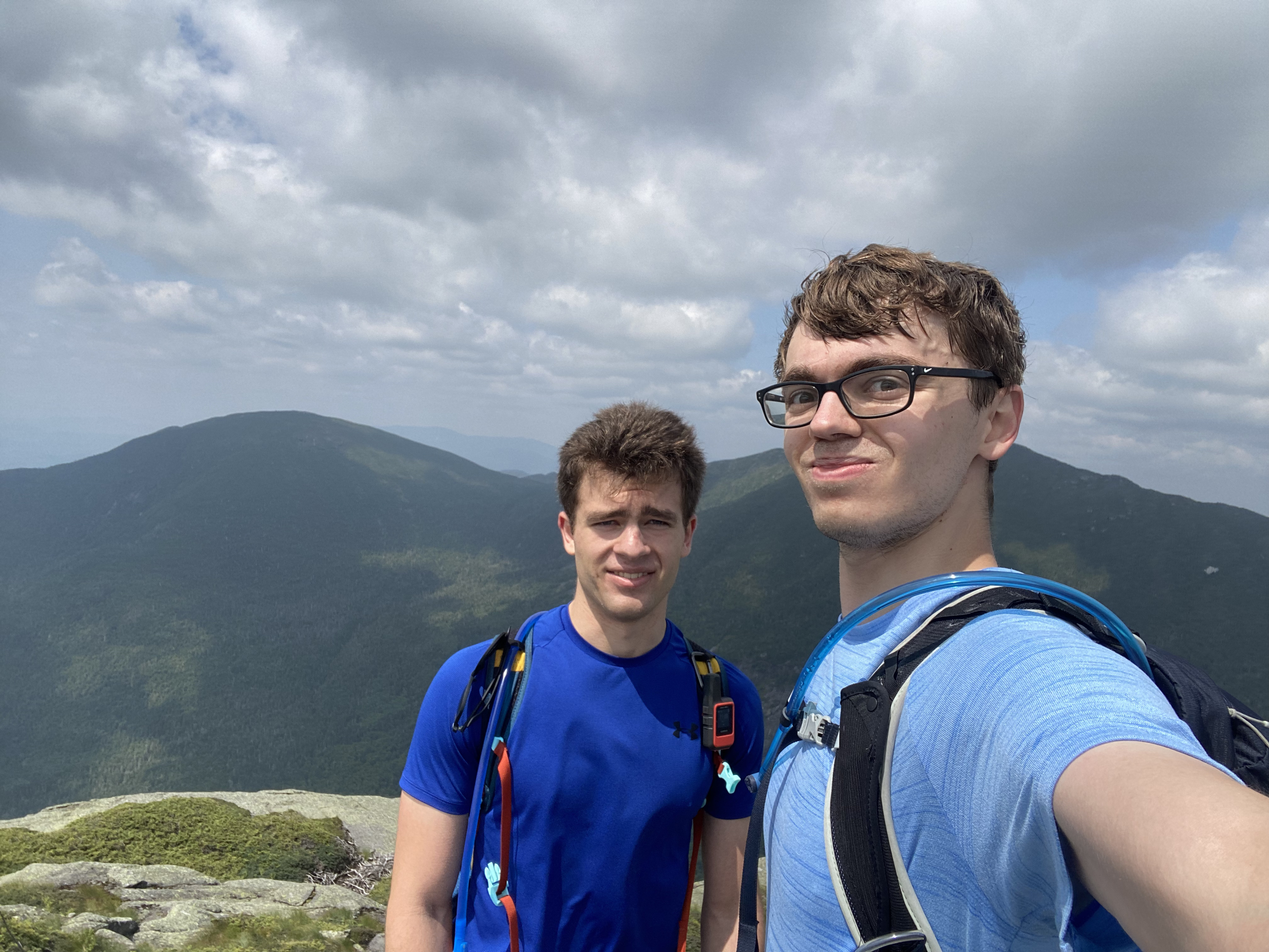
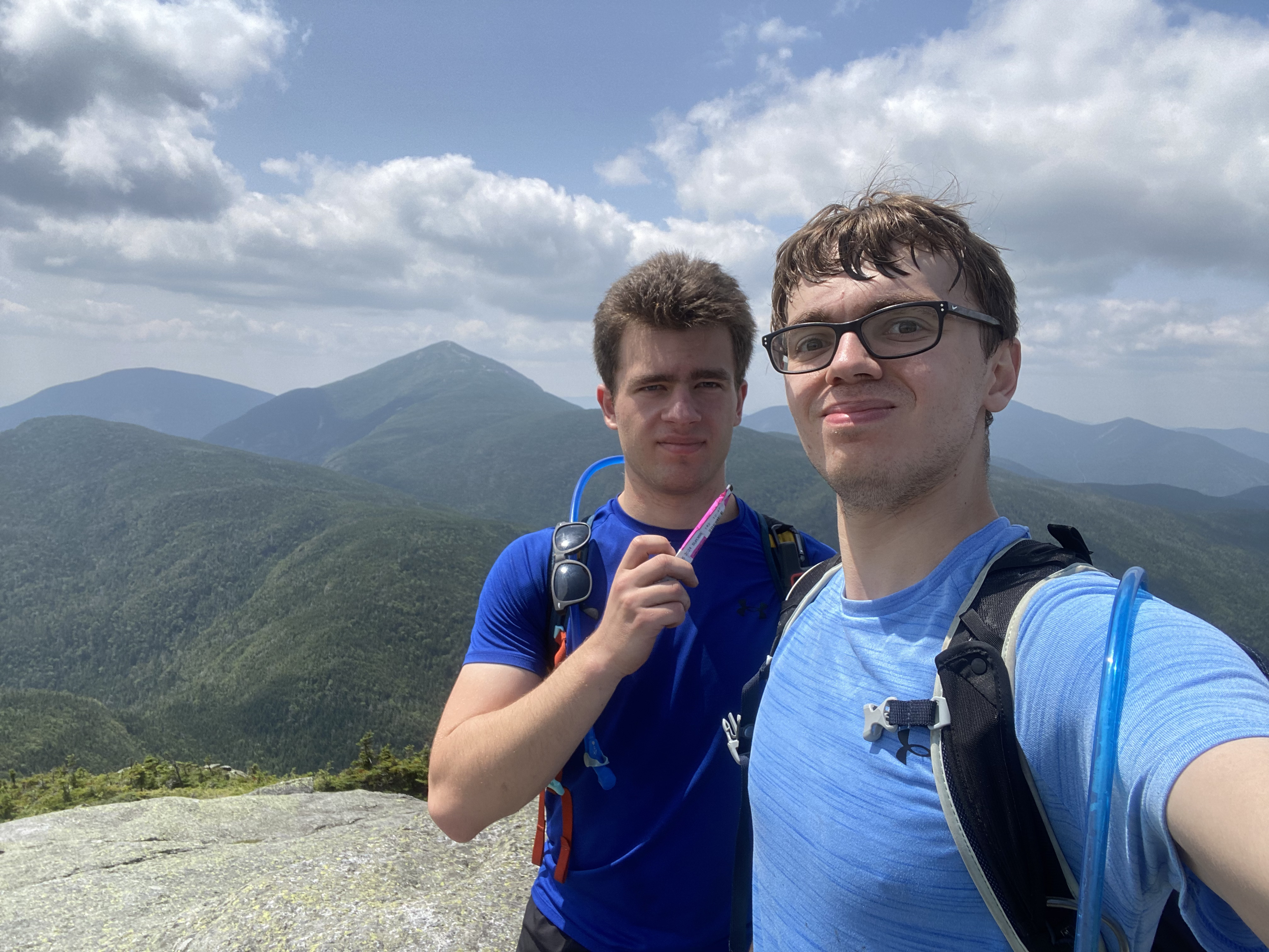
Group photo from the summit of Big Slide. I'm wearing the gray UnderArmor
shirt in the middle.
6 / 8
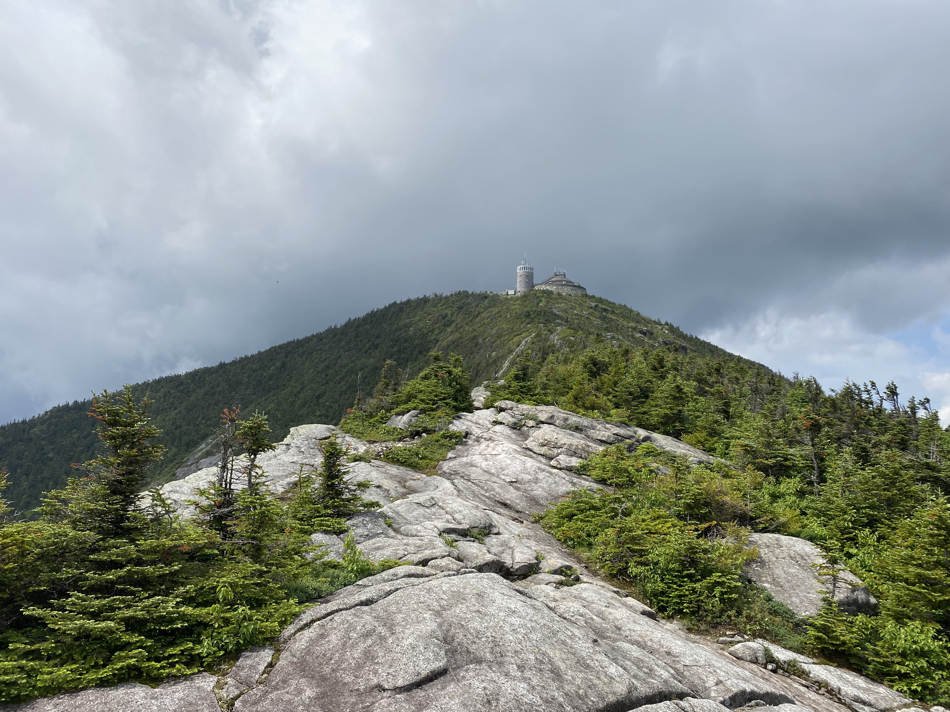
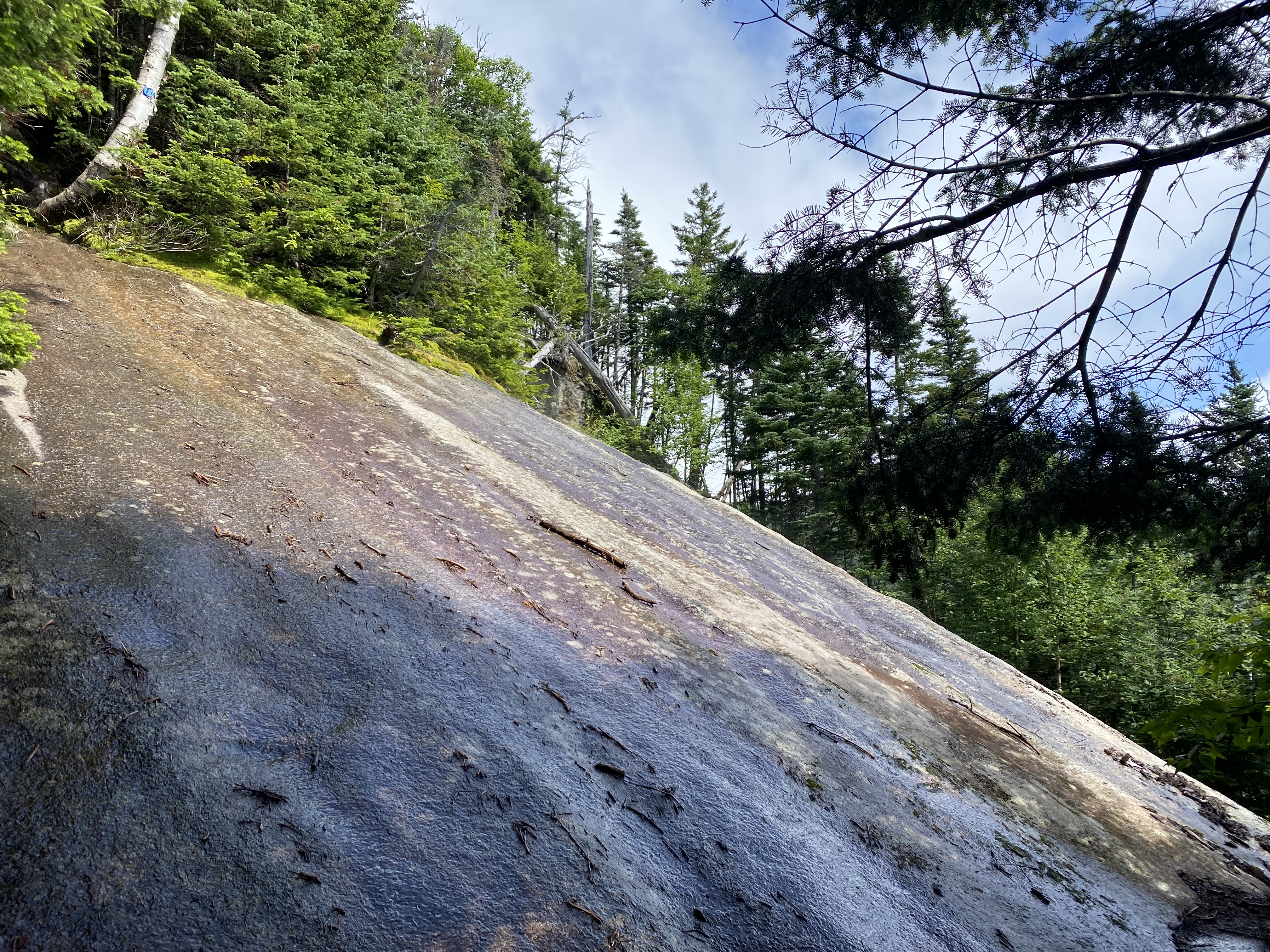
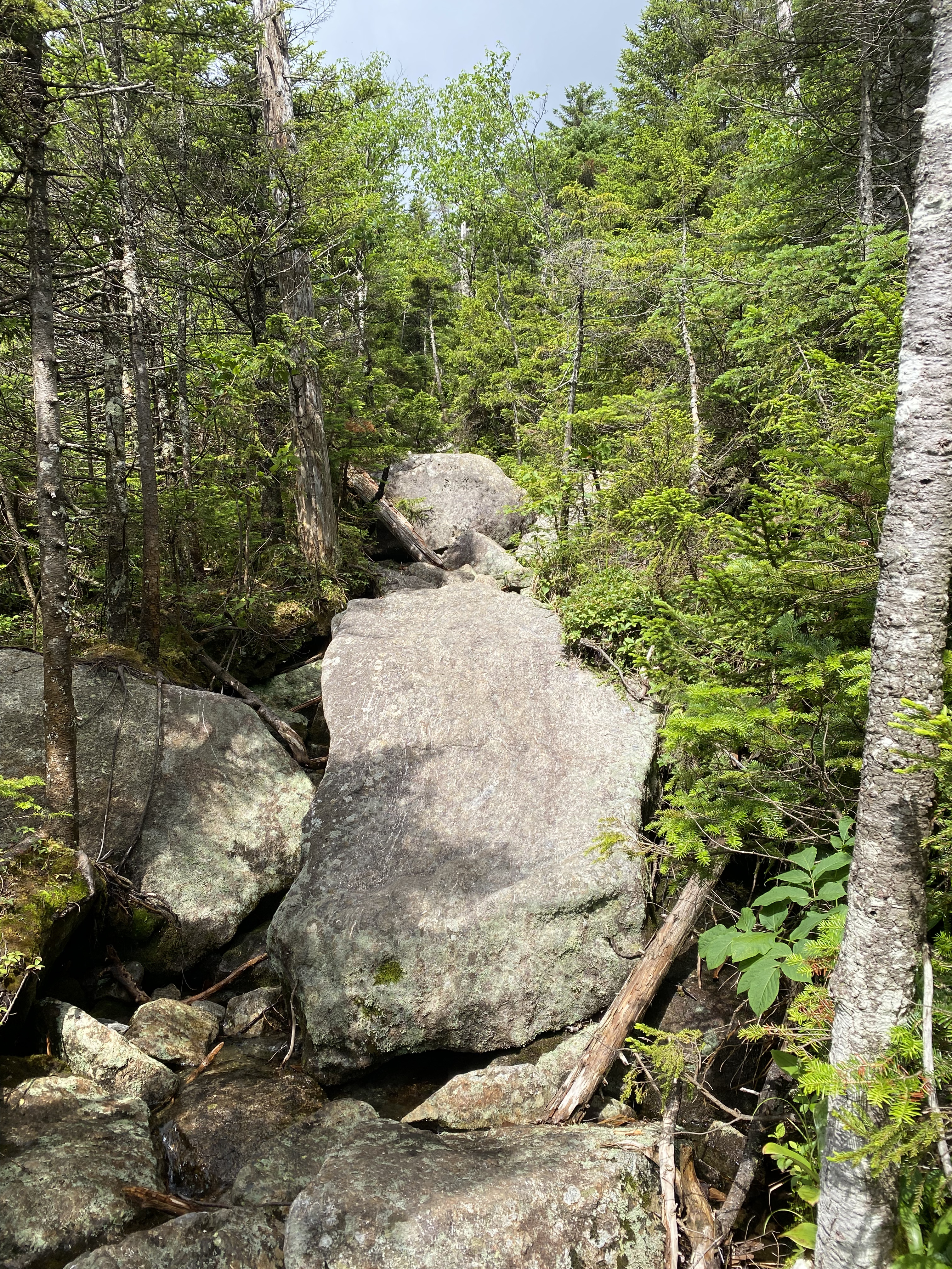
The reason why it's called Big Slide:
7 / 8
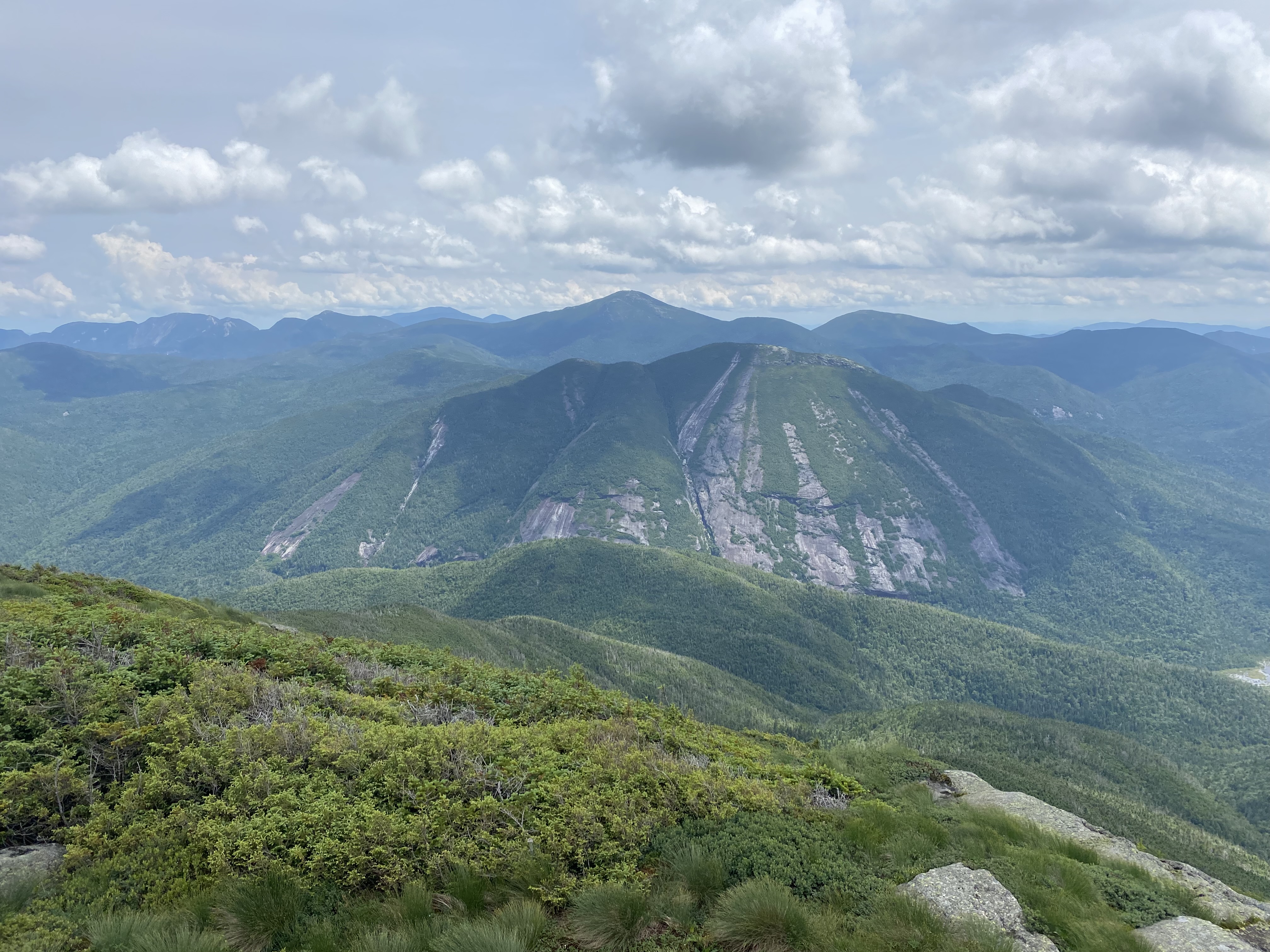
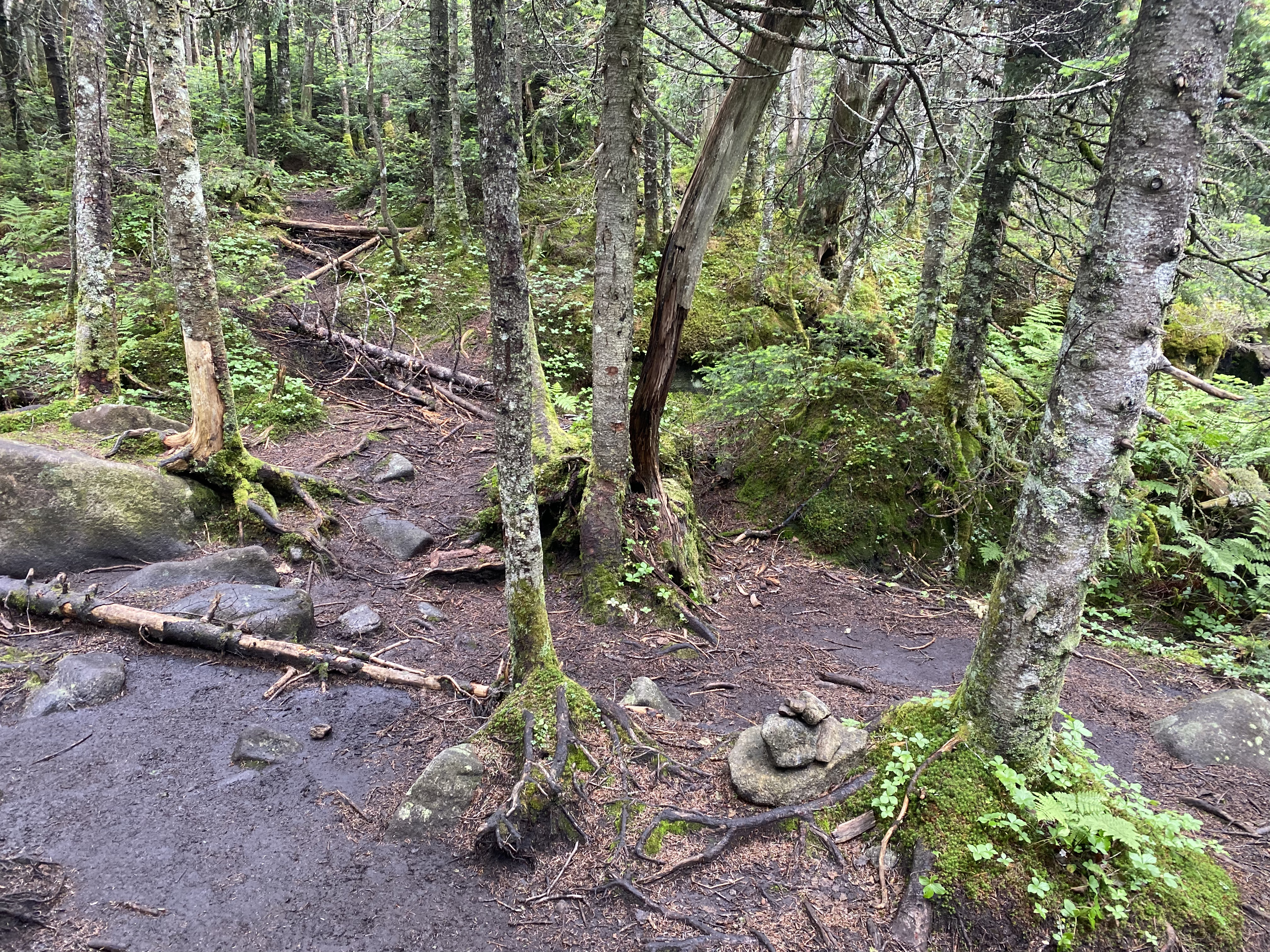
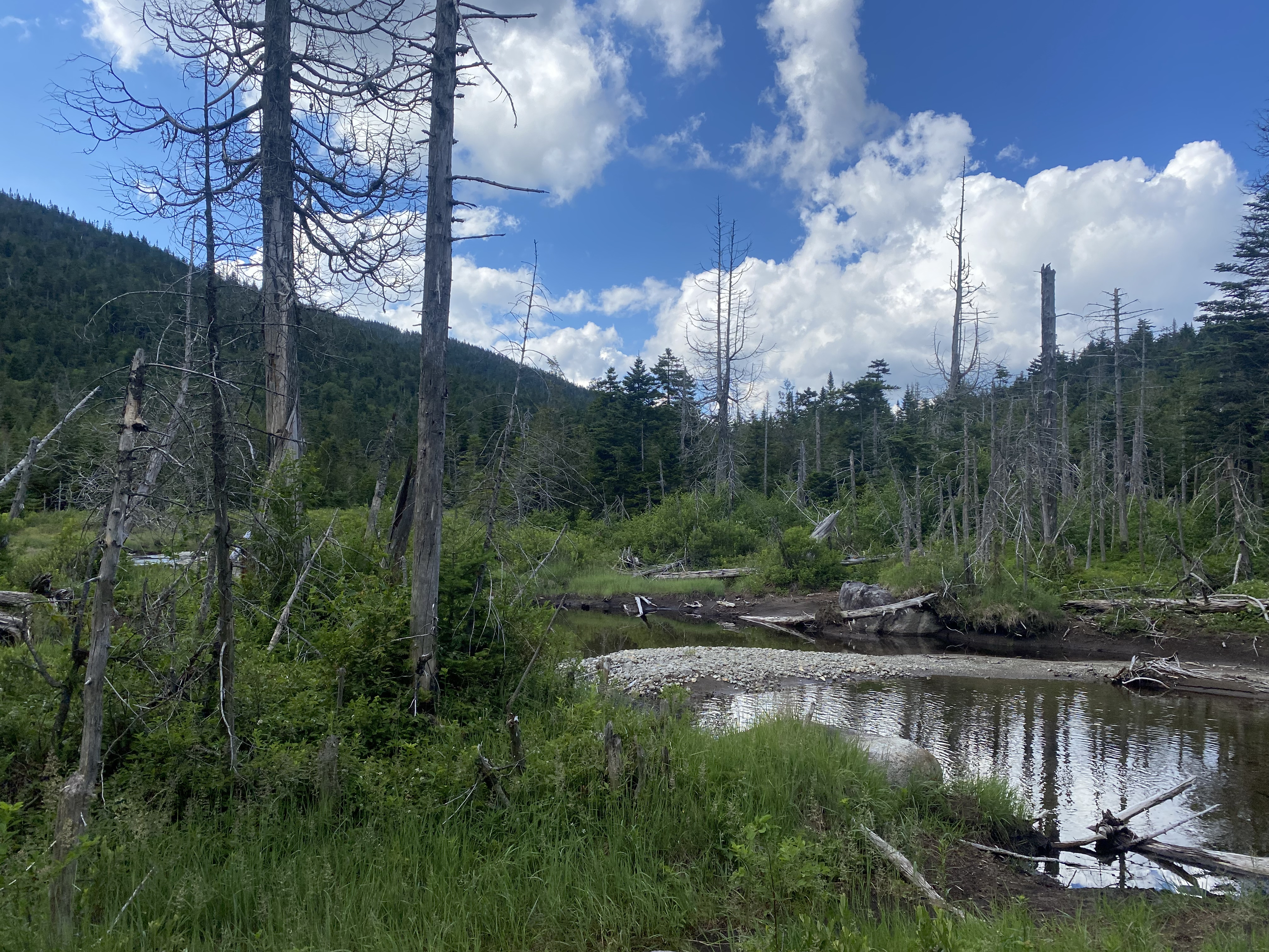
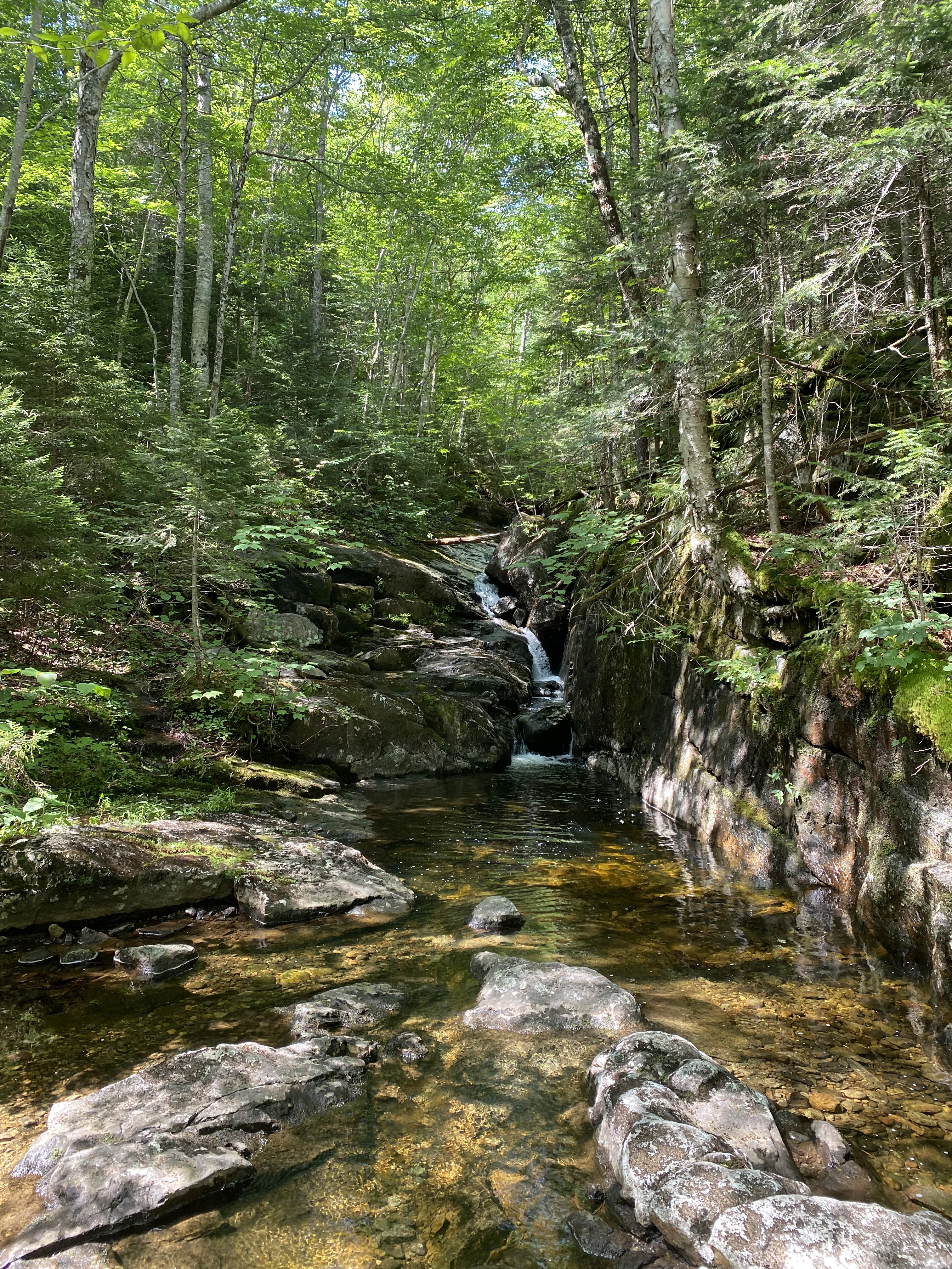
The walk back to the car was full of stream crossings and lush vegetation.
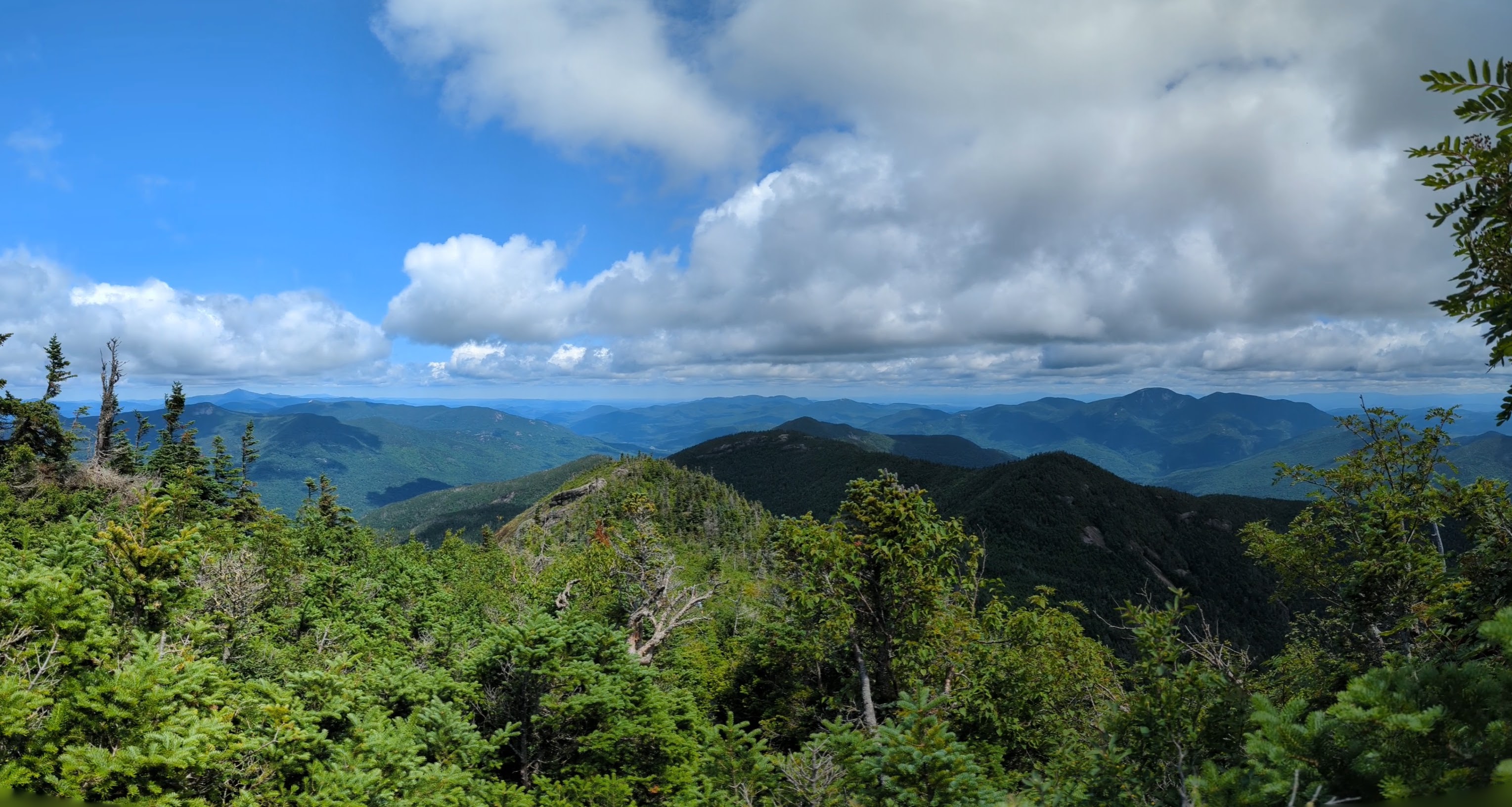
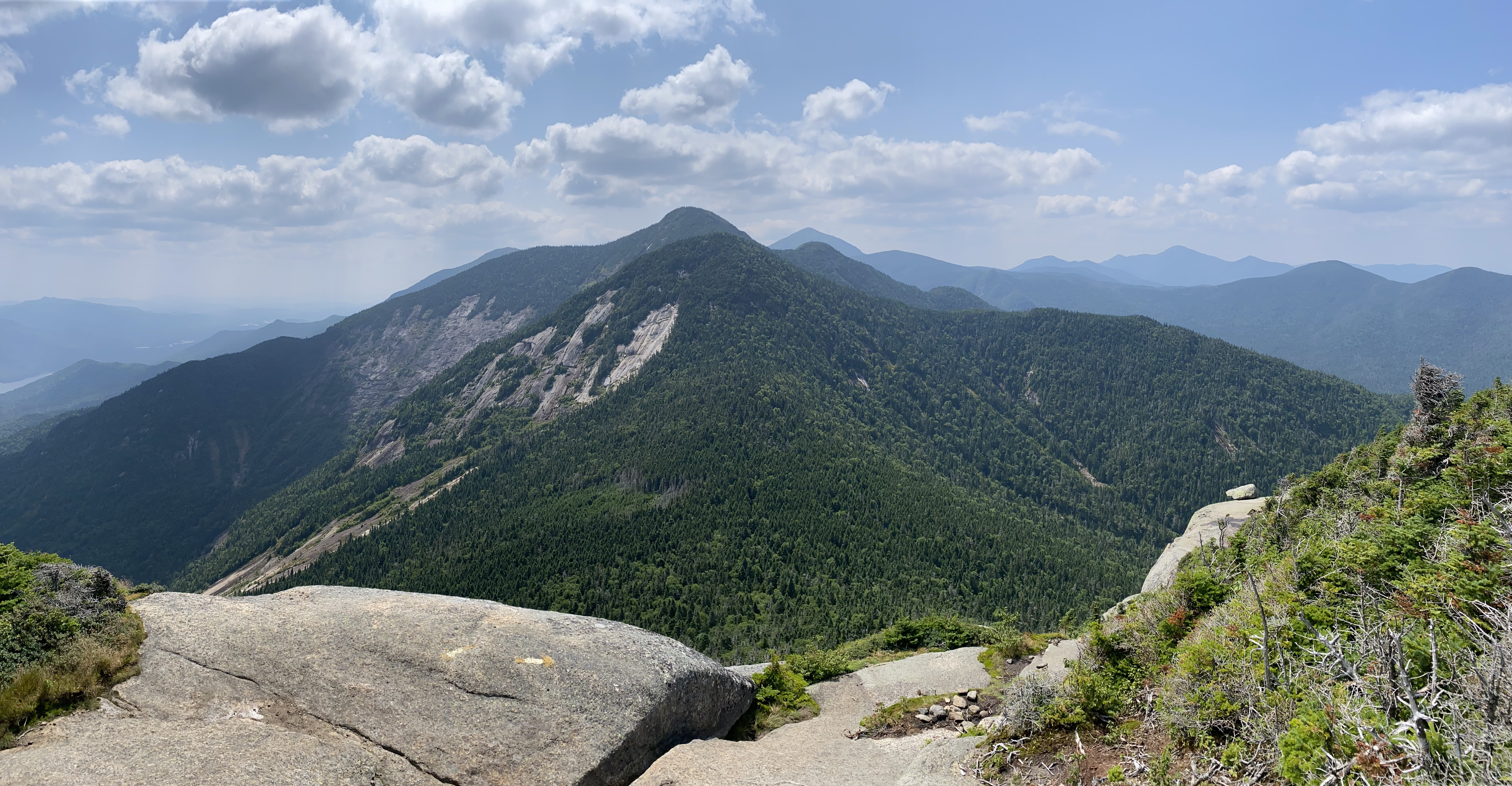
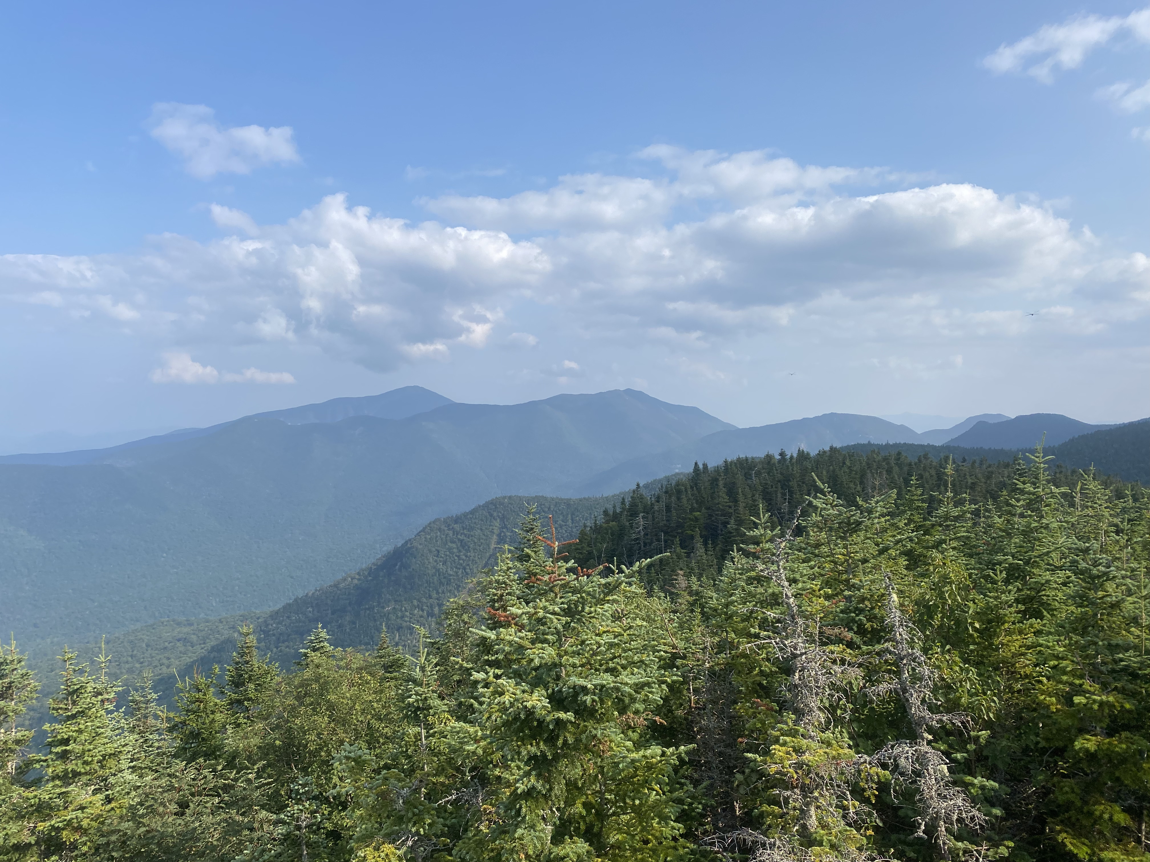
Looking back on the ascent of Algonquin after a steep slab section.
3 / 21
View of Wright Peak on the way up Algonquin.
4 / 21
Trail to the summit of Algonquin. Follow the cairns!
5 / 21
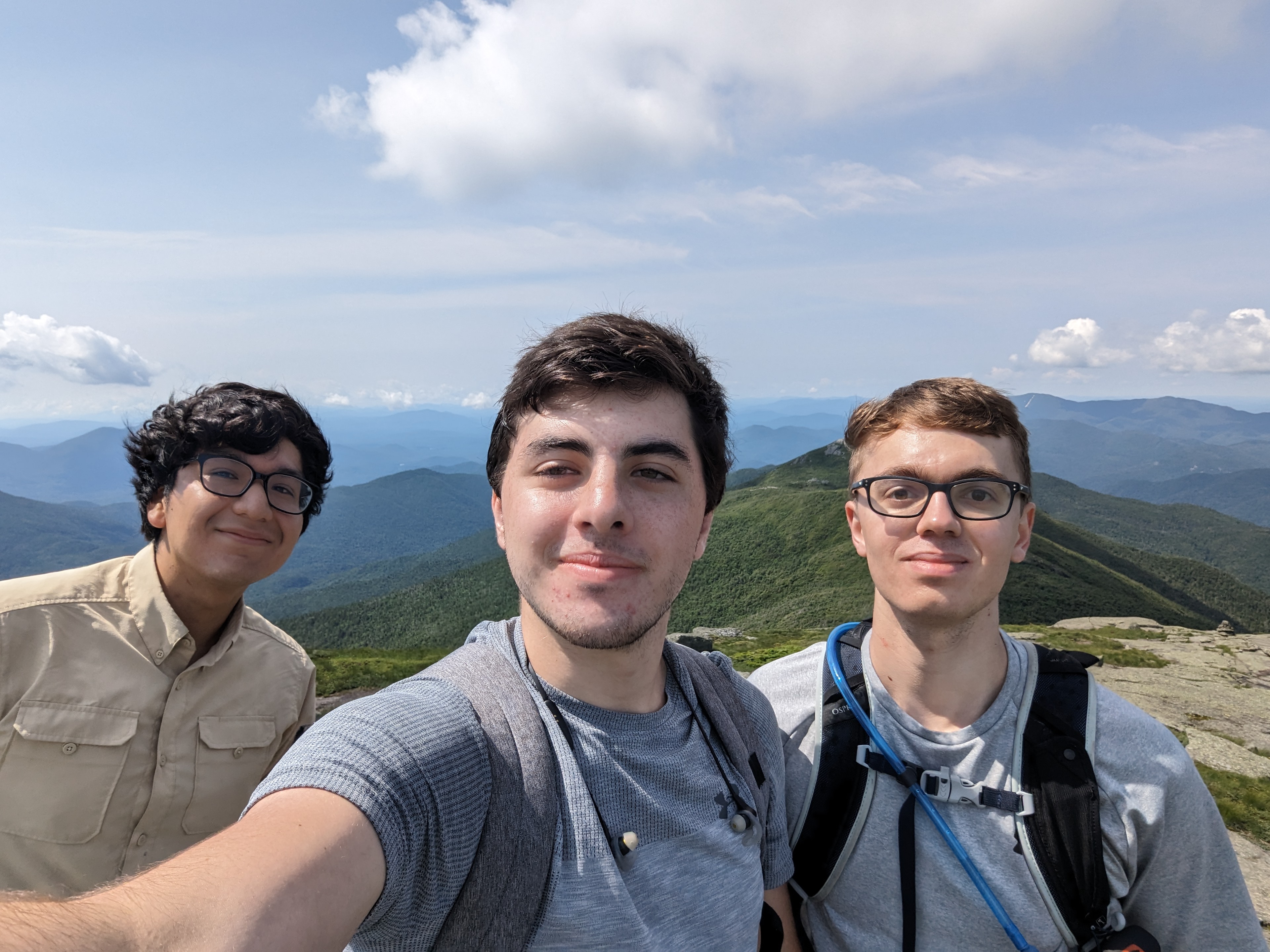
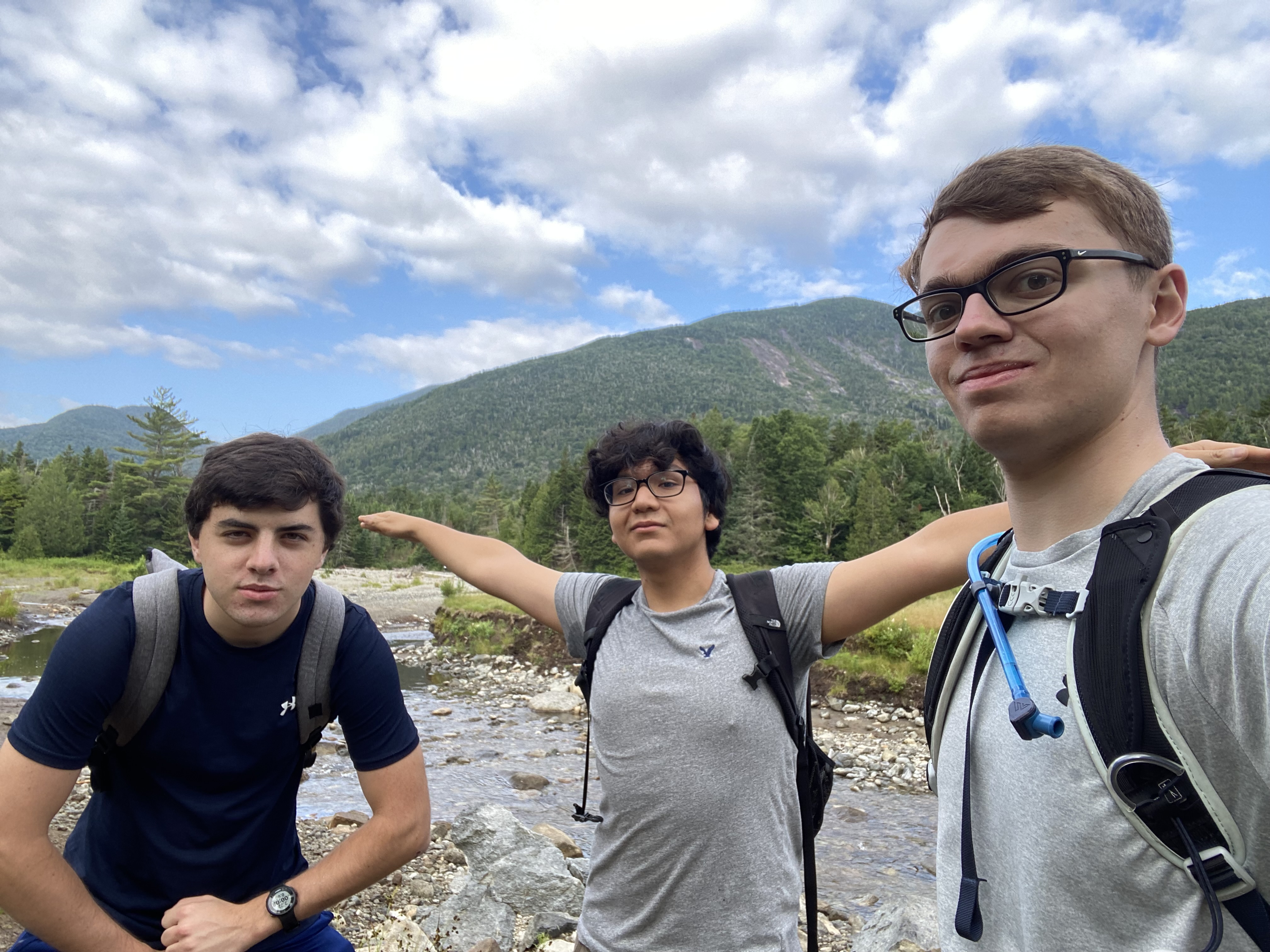
Group photo at the summit of Algonquin with Colden in the background.
6 / 21
Another group photo on the summit of Algonquin.
7 / 21
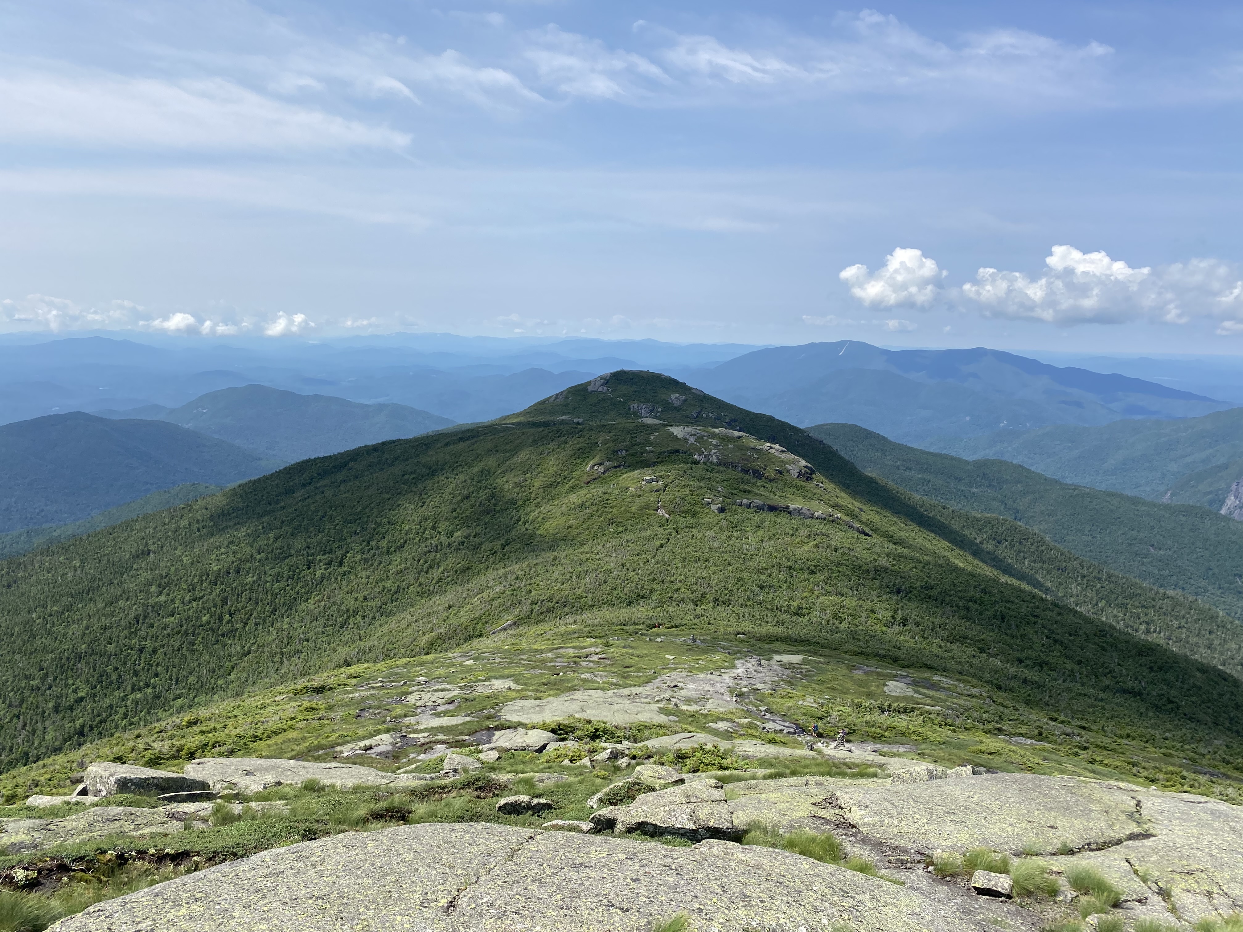
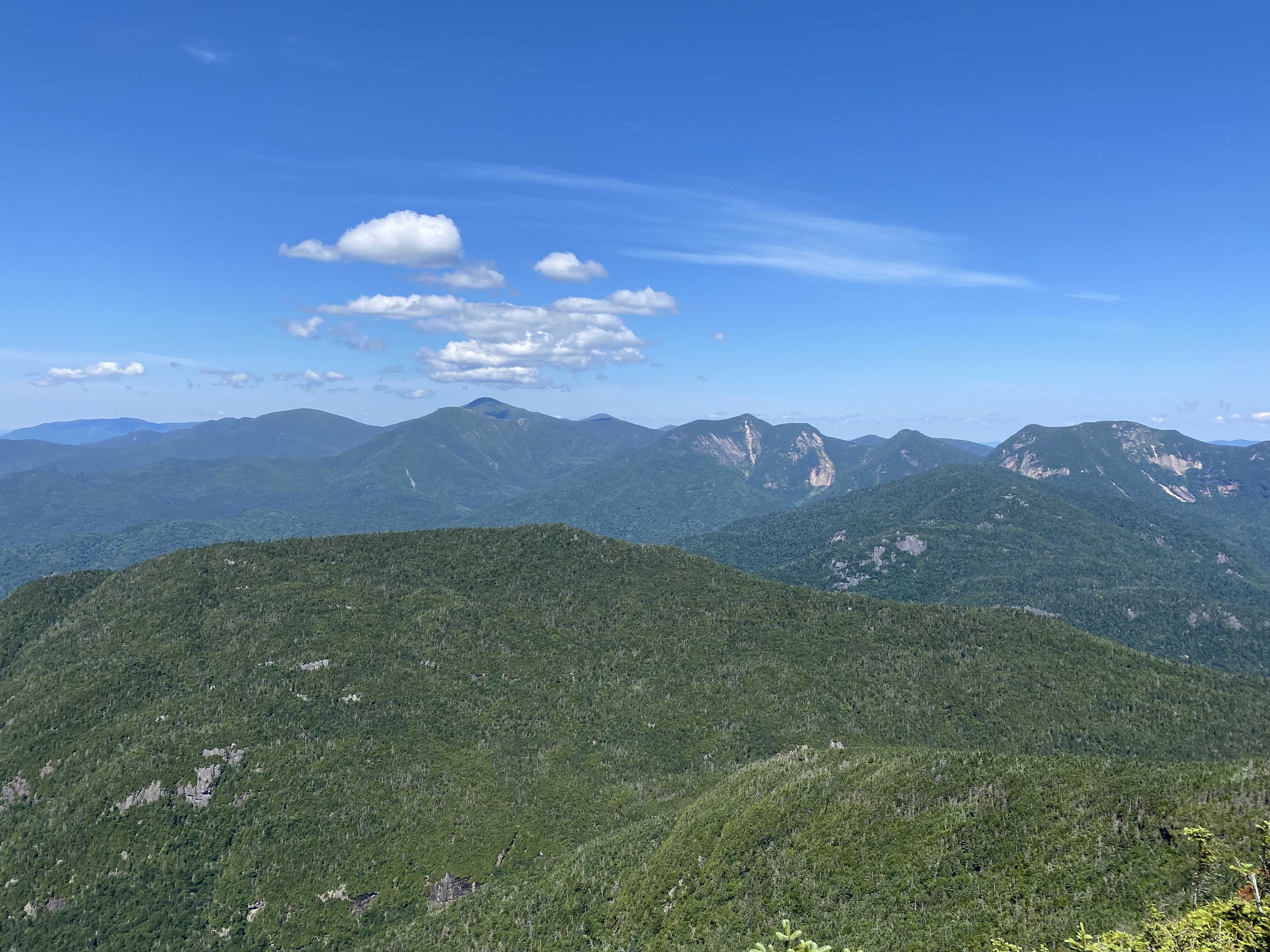
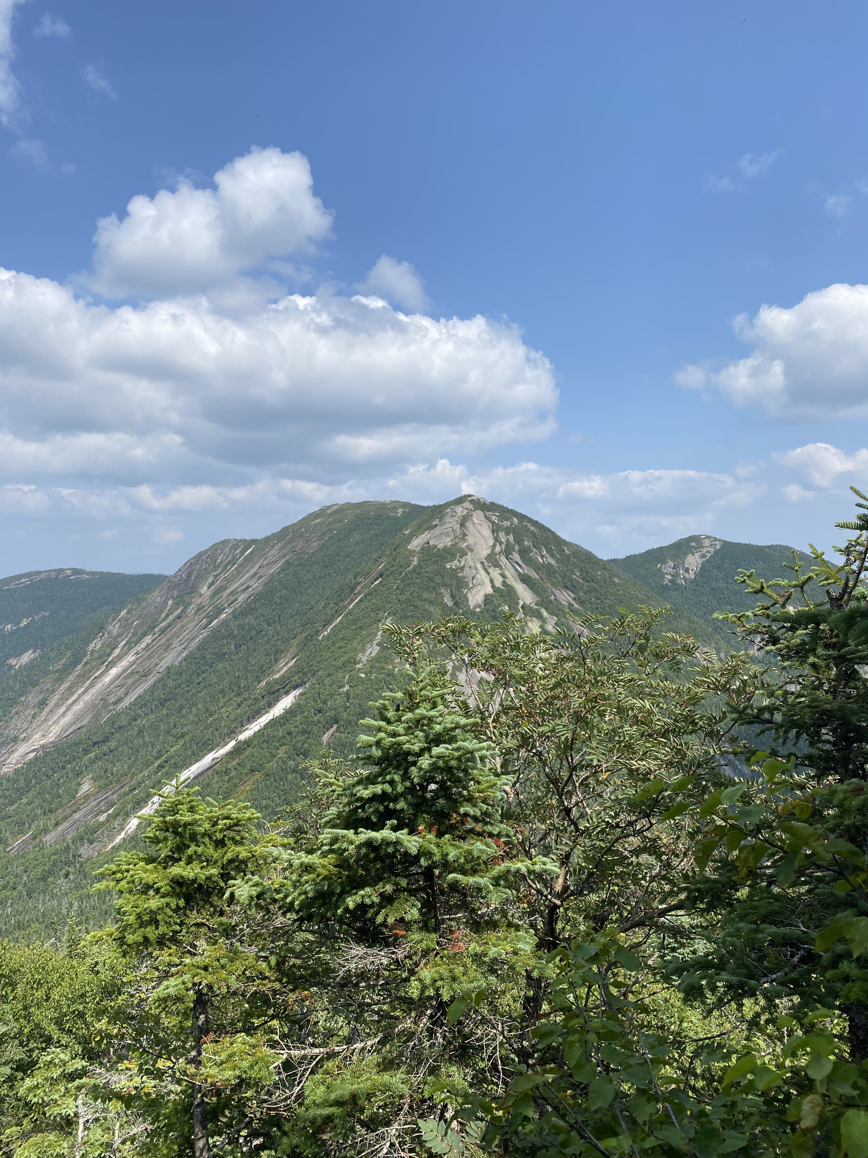
Iroquois and Boundary in the distance, our next destinations. Most of this
trail is above treeline.
8 / 21
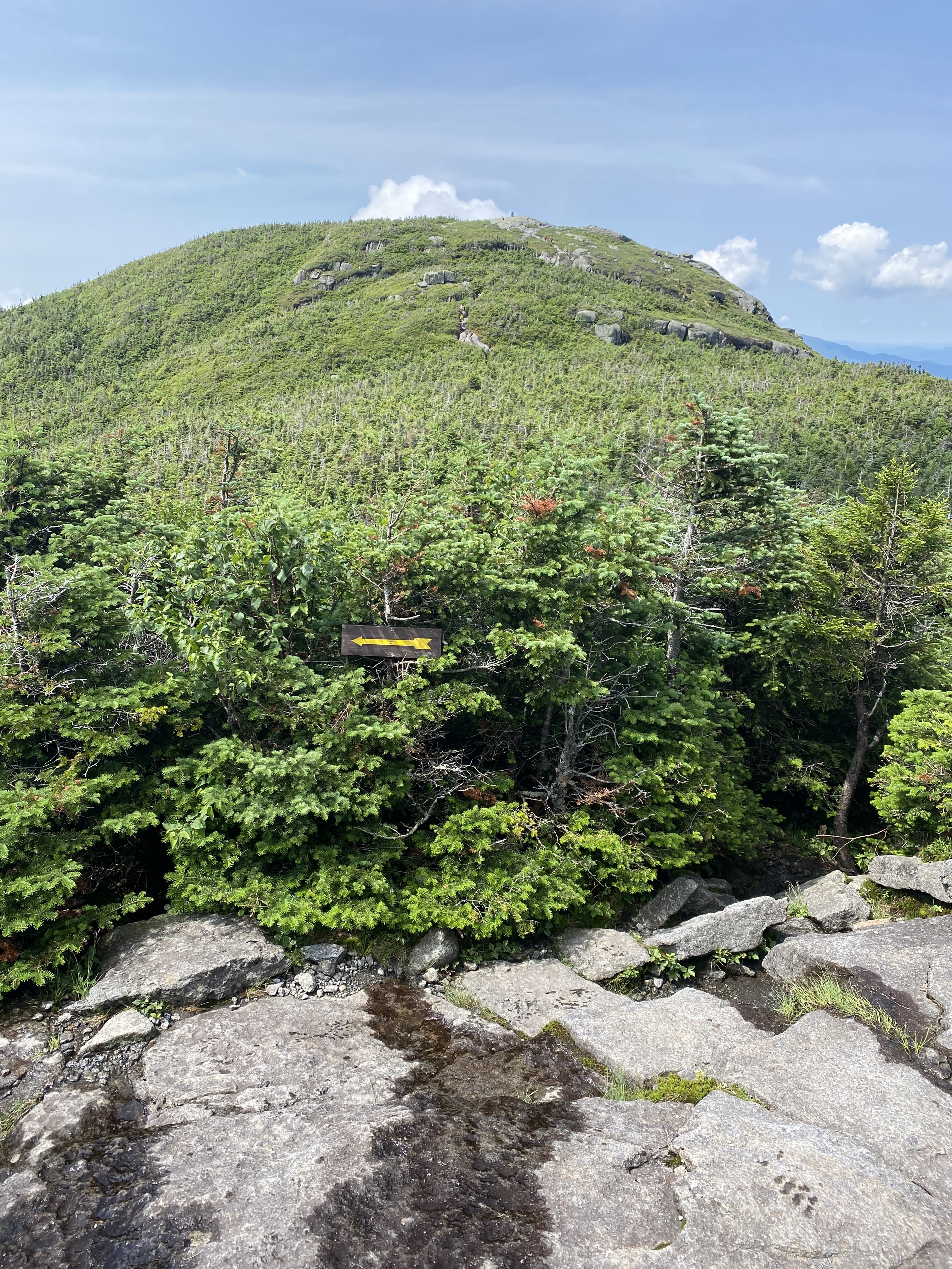
A spot of confusion. The arrow does NOT lead to Iroquois but rather to
Avalanche Lake. The narrow trail to the right leads to Iroquois.
9 / 21
Taken from Boundary Peak, named as it was the informal boundary between the
territory of the Iroquois and Algonquin tribes. Iroquois is on the left and Wallface is the cliff
the right.
10 / 21
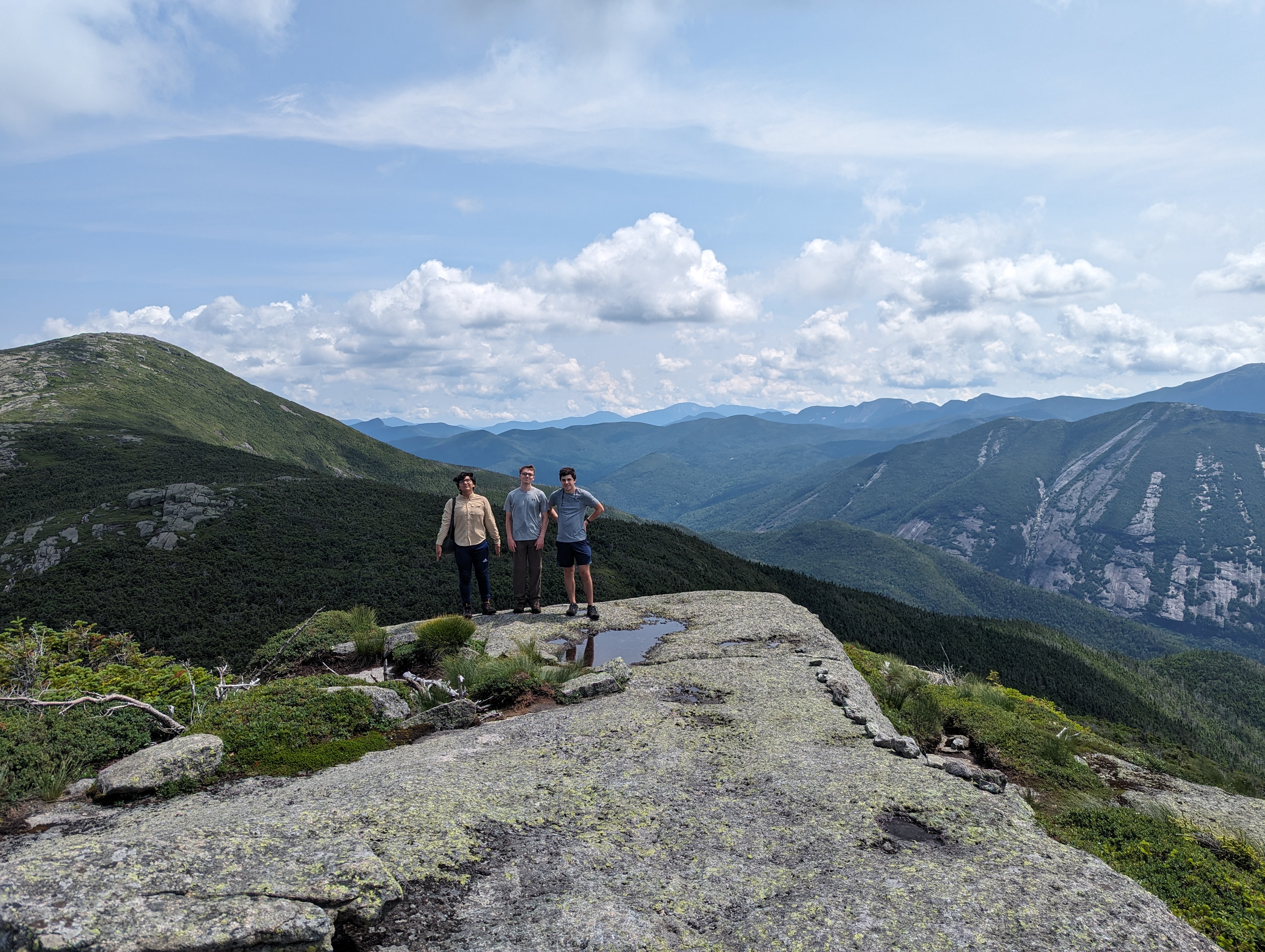
Group photo on the summit of Iroquois.
11 / 21
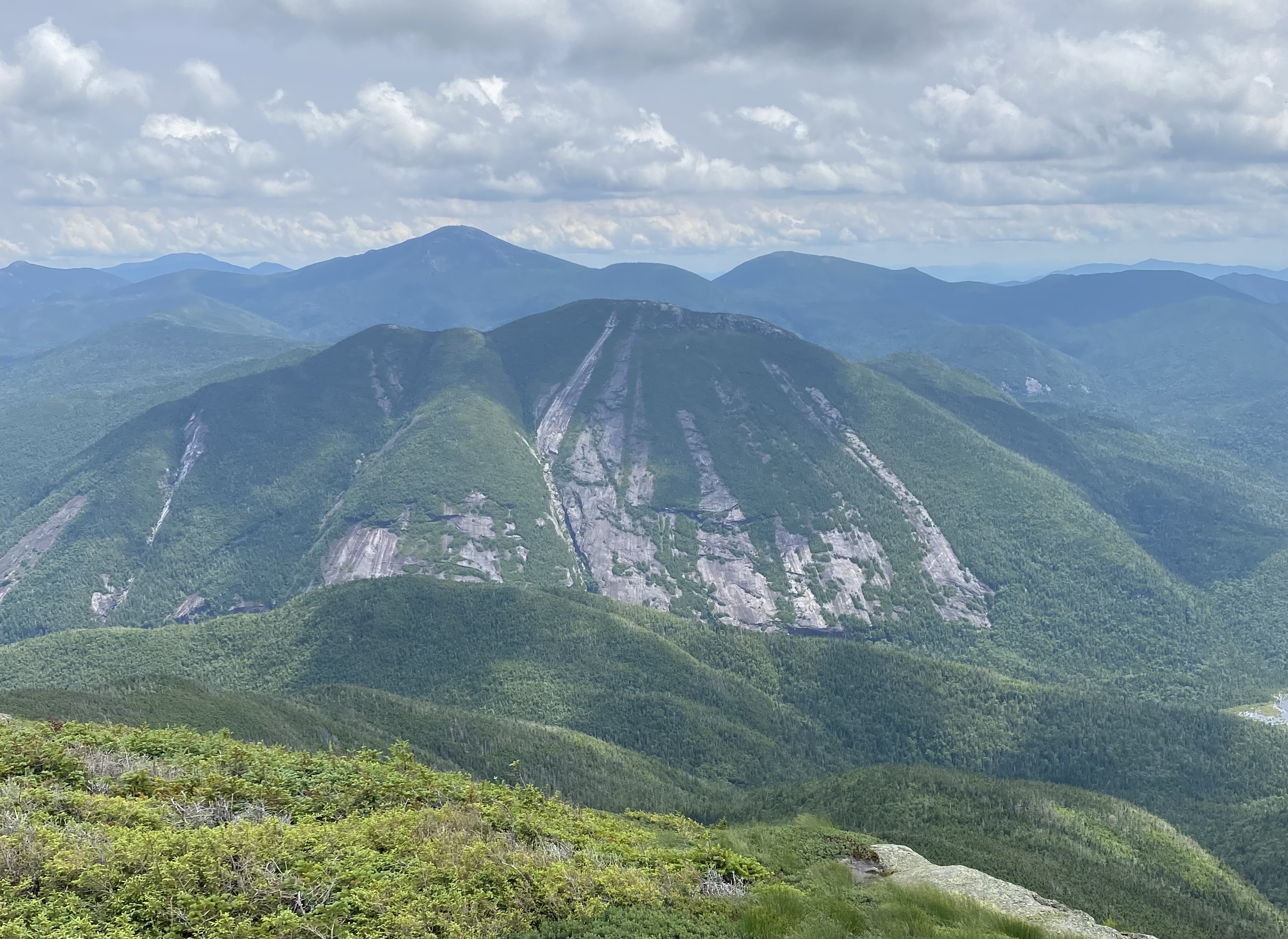
Mount Marshall as seen from Iroquois. The Shepard's Tooth is the notch on the
left.
12 / 21
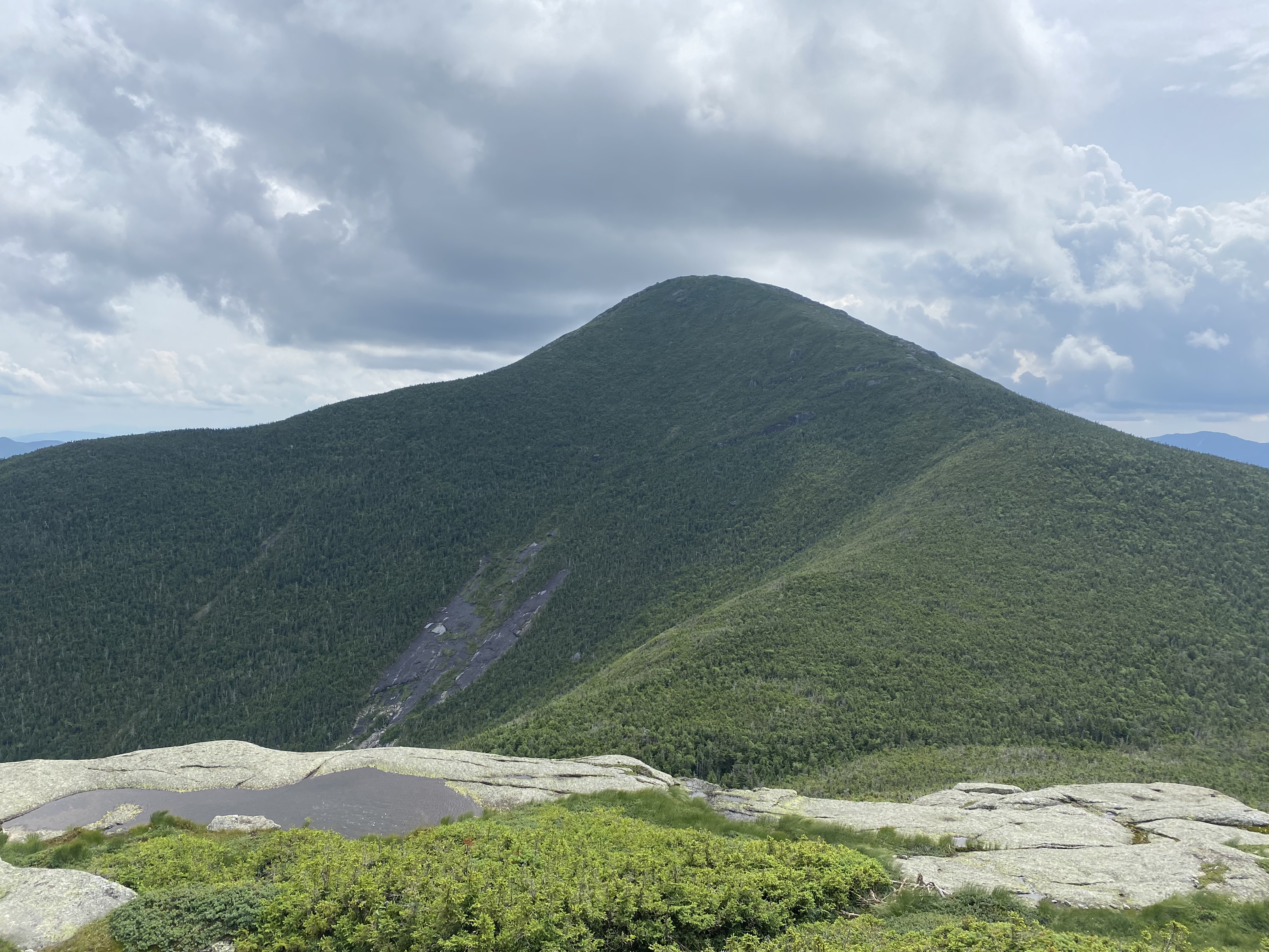
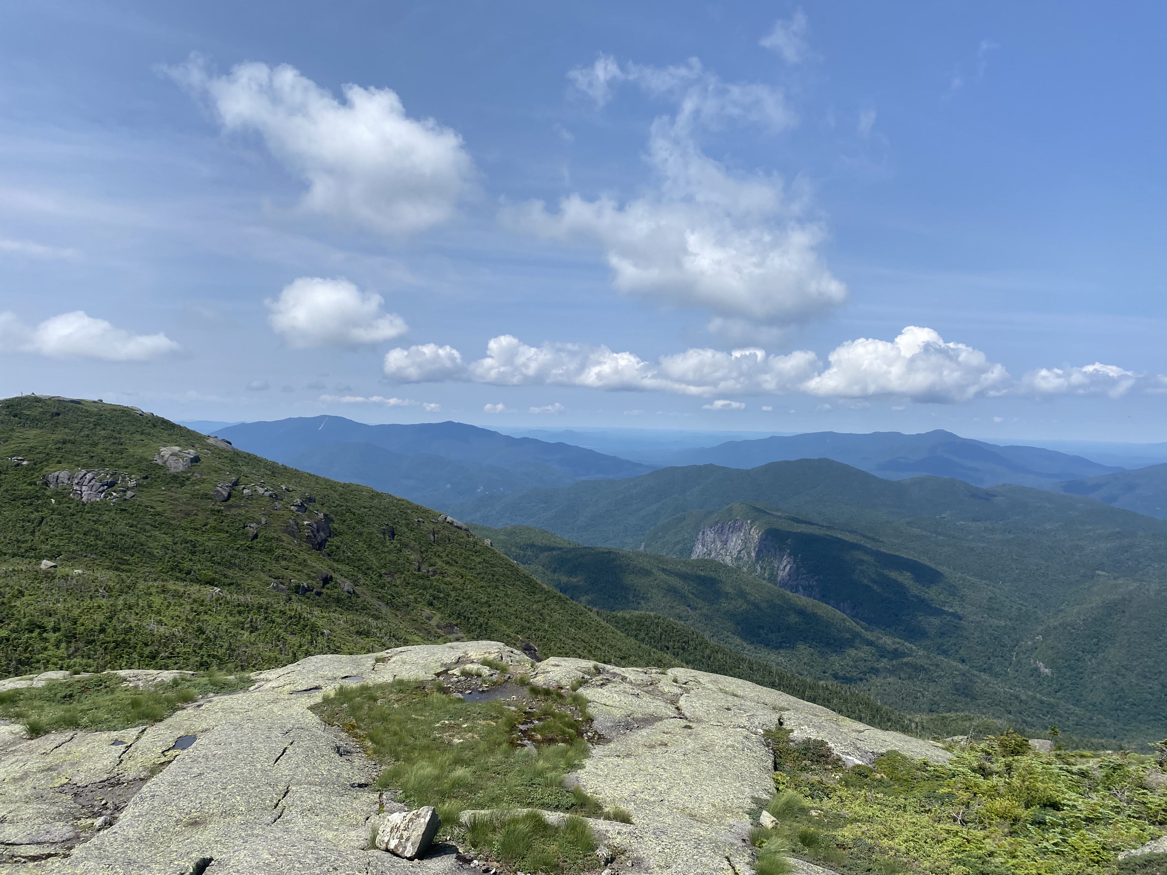
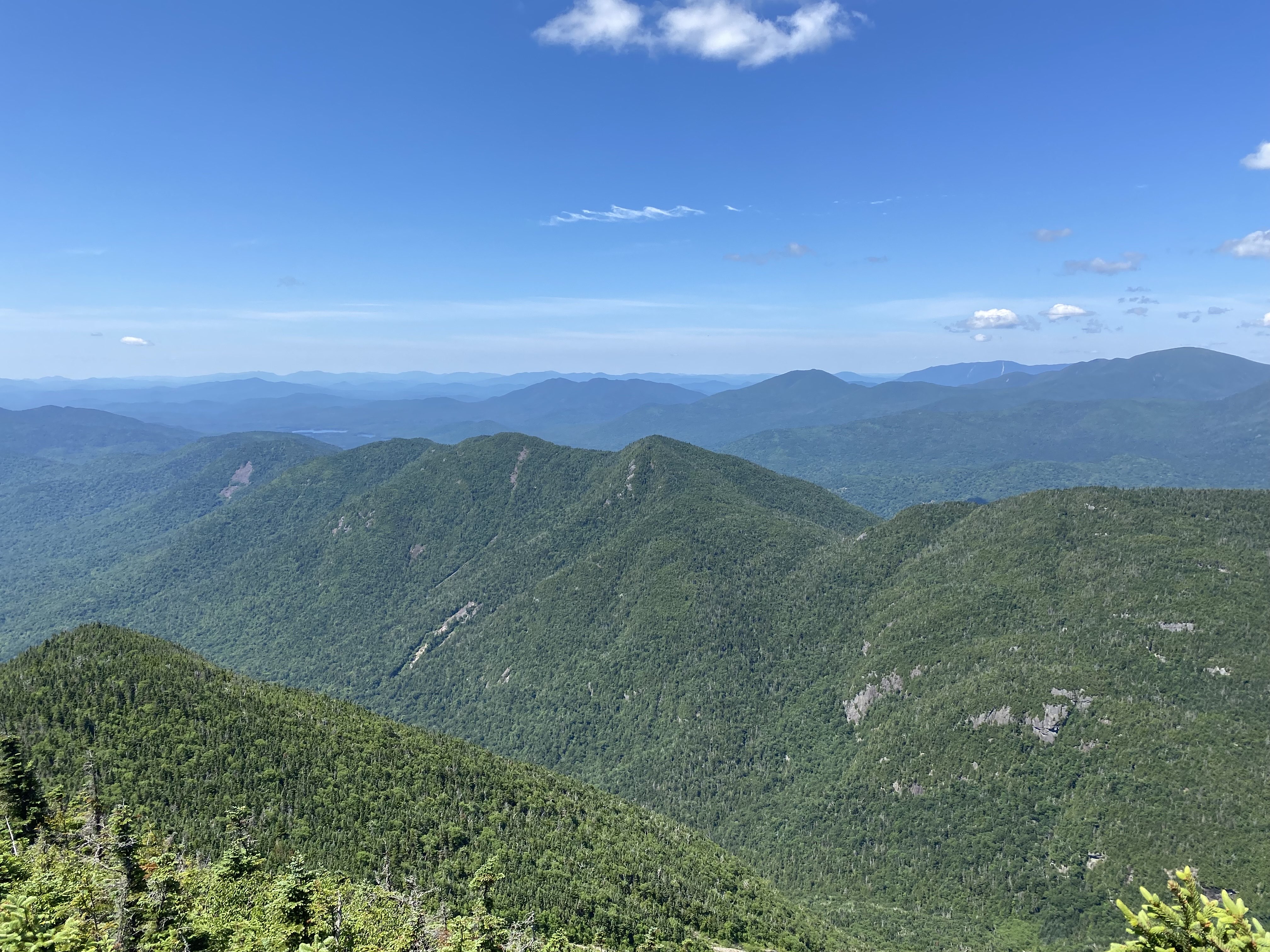
Panoramic view taken on the way down Iroquois looking back towards Algonquin.
Street and Nye are on the left and Colden is on the right.
13 / 21
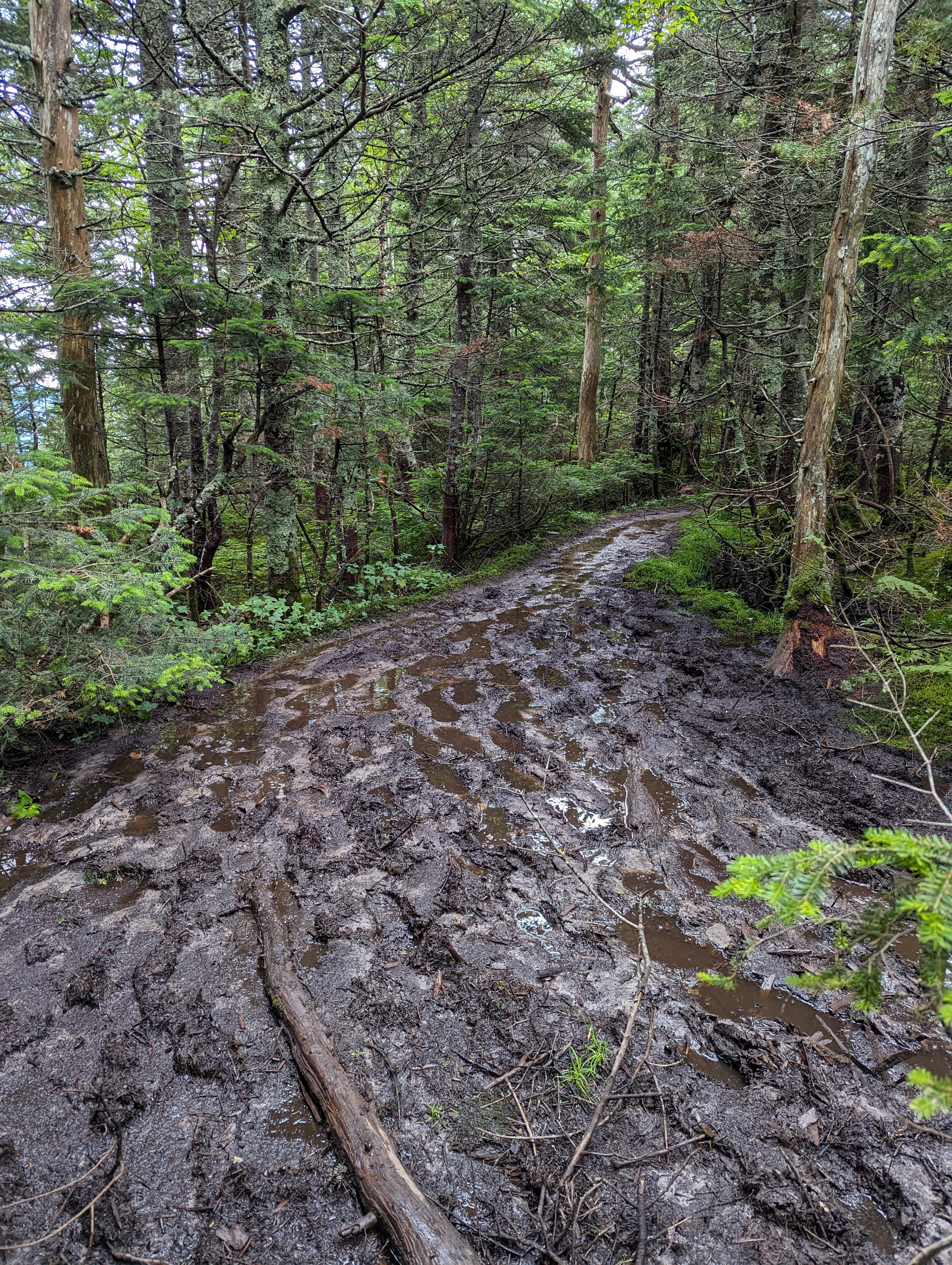
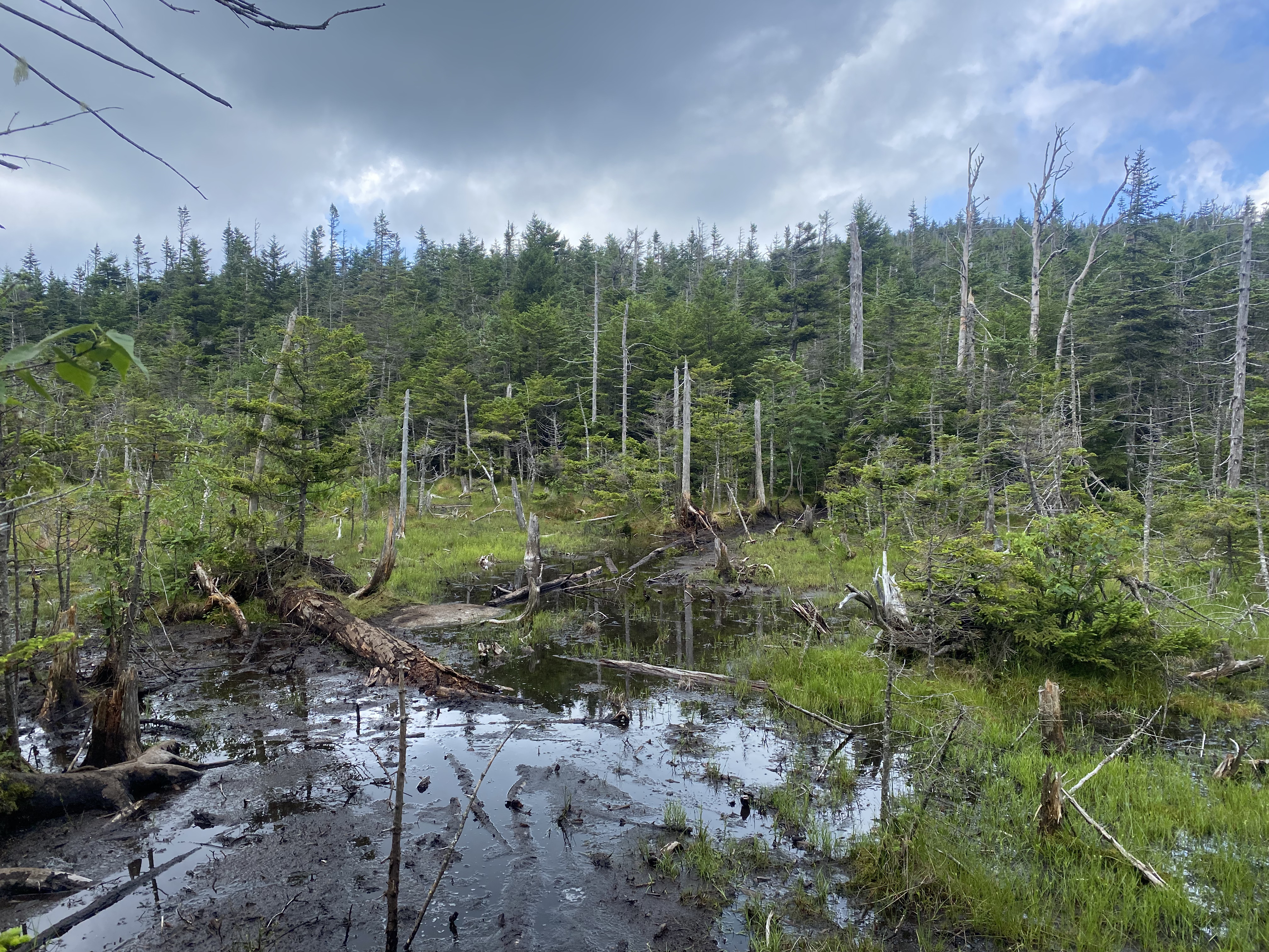
The trail to Iroquois is muddy, especially during this extra-wet summer.
14 / 21
Lake Colden and the Flowed Lands as seen from Algonquin.
15 / 21
View of Colden from Algonquin on our way back.
16 / 21
Descending Algonquin is steep! Lots of butt-sliding.
17 / 21
Wright had the steepest slabs and scrambles of the three, but was short.
18 / 21
Group photo from the summit of Wright.
19 / 21
Panoramic view from the summit of Wright. Heart Lake is on the left, where we
started, and Algonquin on the right.
20 / 21
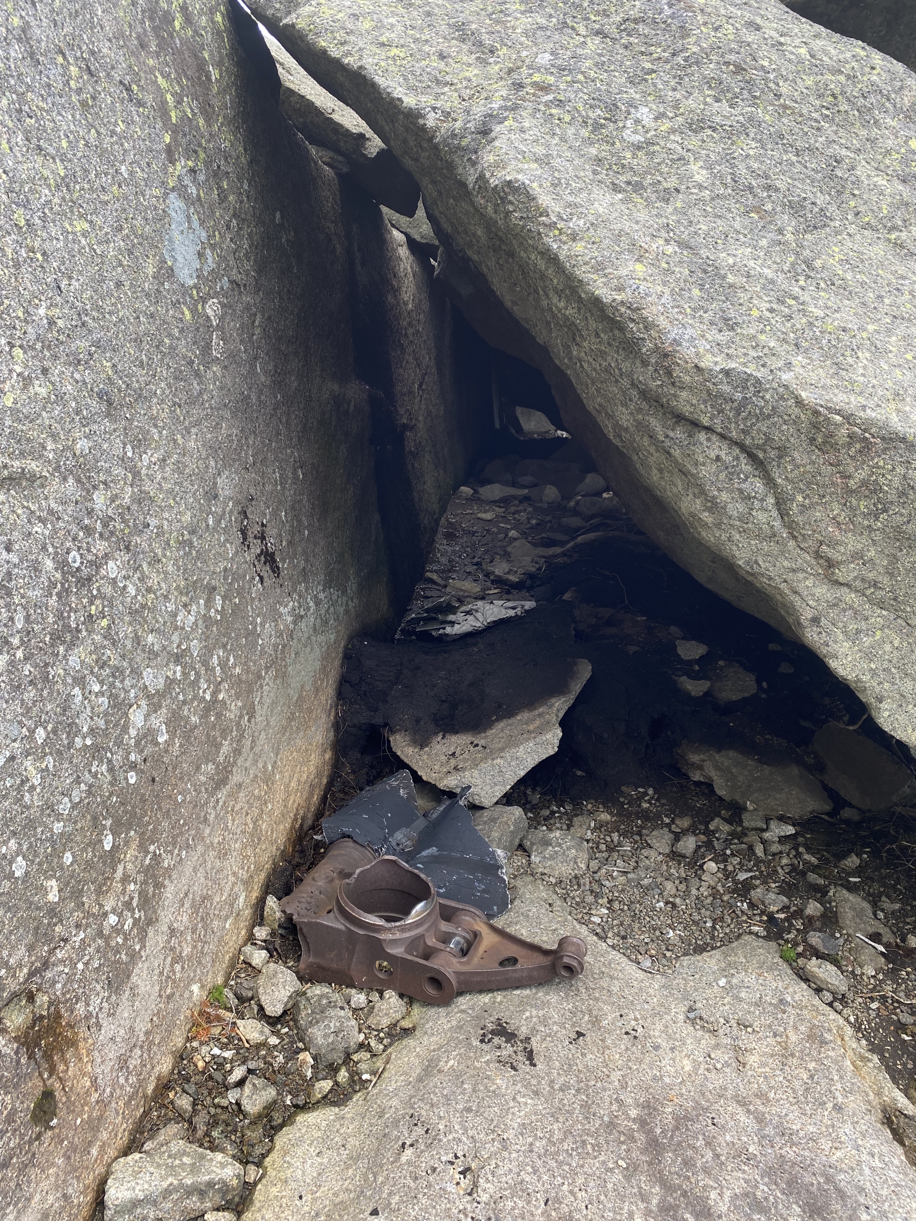
A plane once crashed into the summit of Wright Peak. Parts of it can be found
around the summit, such as here.
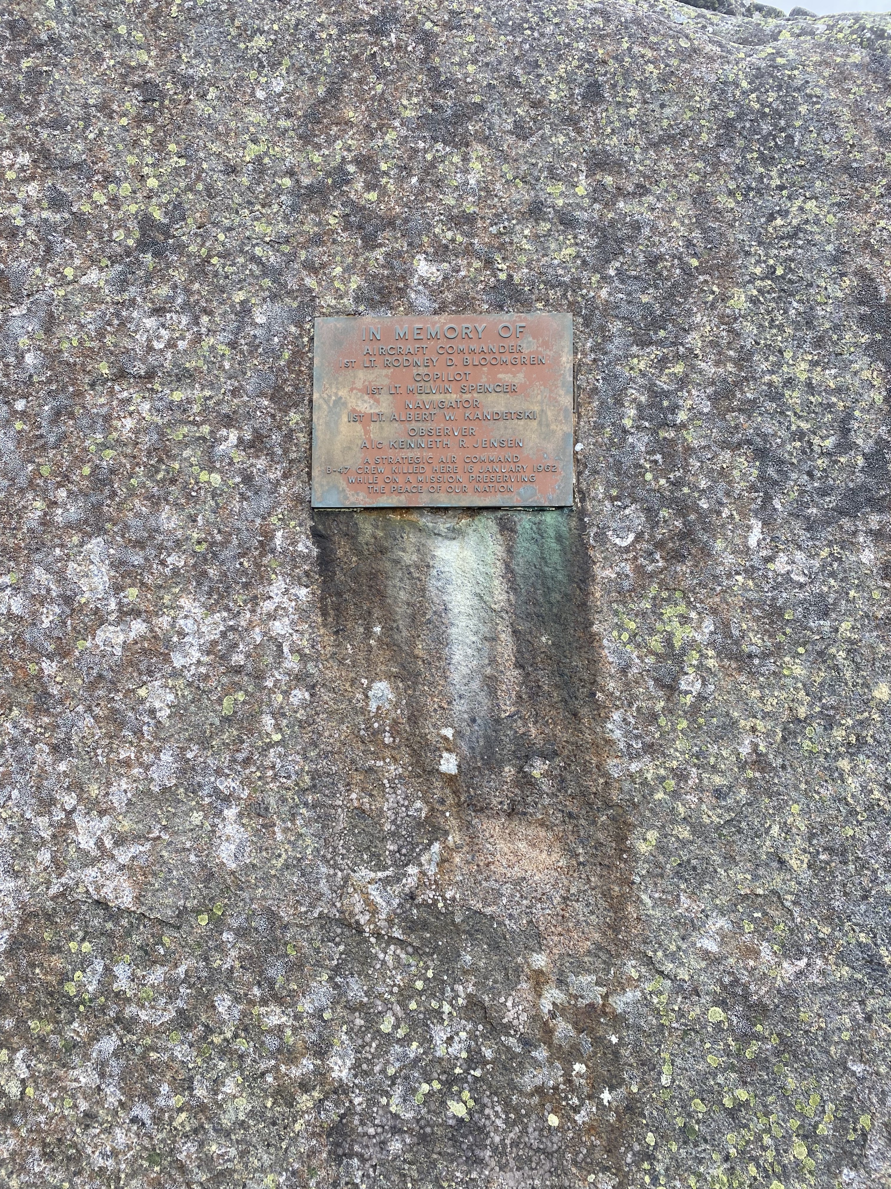
21 / 21
A plaque memorializing those who died in the plane crash.